Angelina, Rayburn, 529 Shawnee Bottom Launch
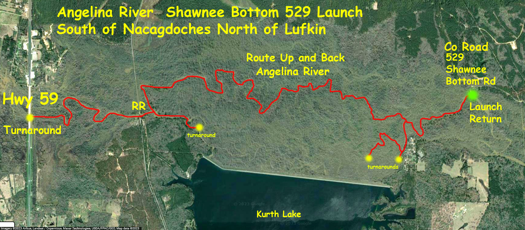
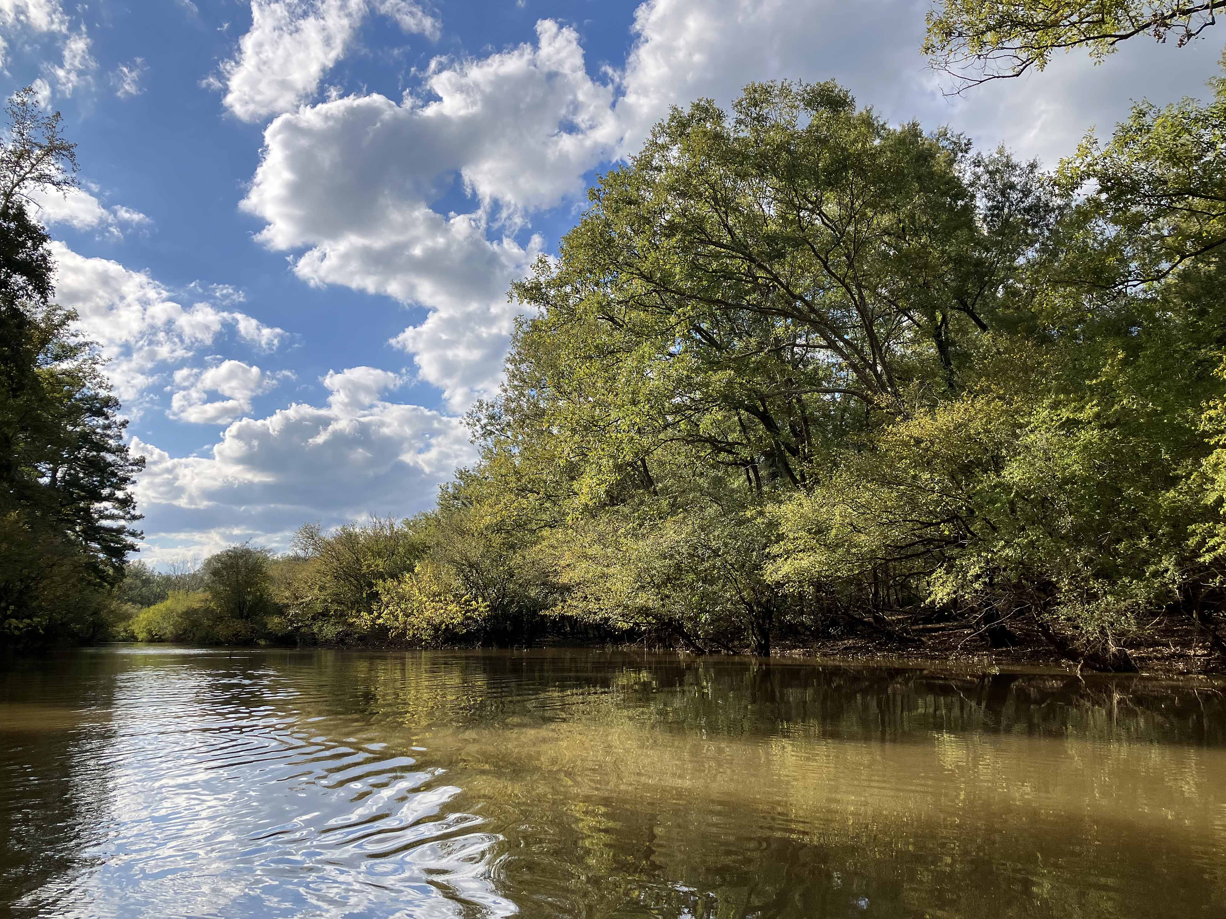
The kayak route map above starts at a launch site along Co Rd 529 Shawnee Bottom Road south of Nacogdoches Texas. It was actually the turnaround point for another route that launched downstream at Co Rd 539. It takes a while to get to the 529 launch as its rather out of the way. The route is an out and back that goes west, picking its way along the Angelina to the Highway 59 turnaround. This was a challenging paddle, quite a few portages and go-arounds and up-and-overs, as the pictures below demonstrate. The map shows a few side channel ventures and turn around points. Around one turn of the river I encountered a camouflaged bowhunter in the woods. The exchange went like this, I said, “Hi”, he said “Hi”.
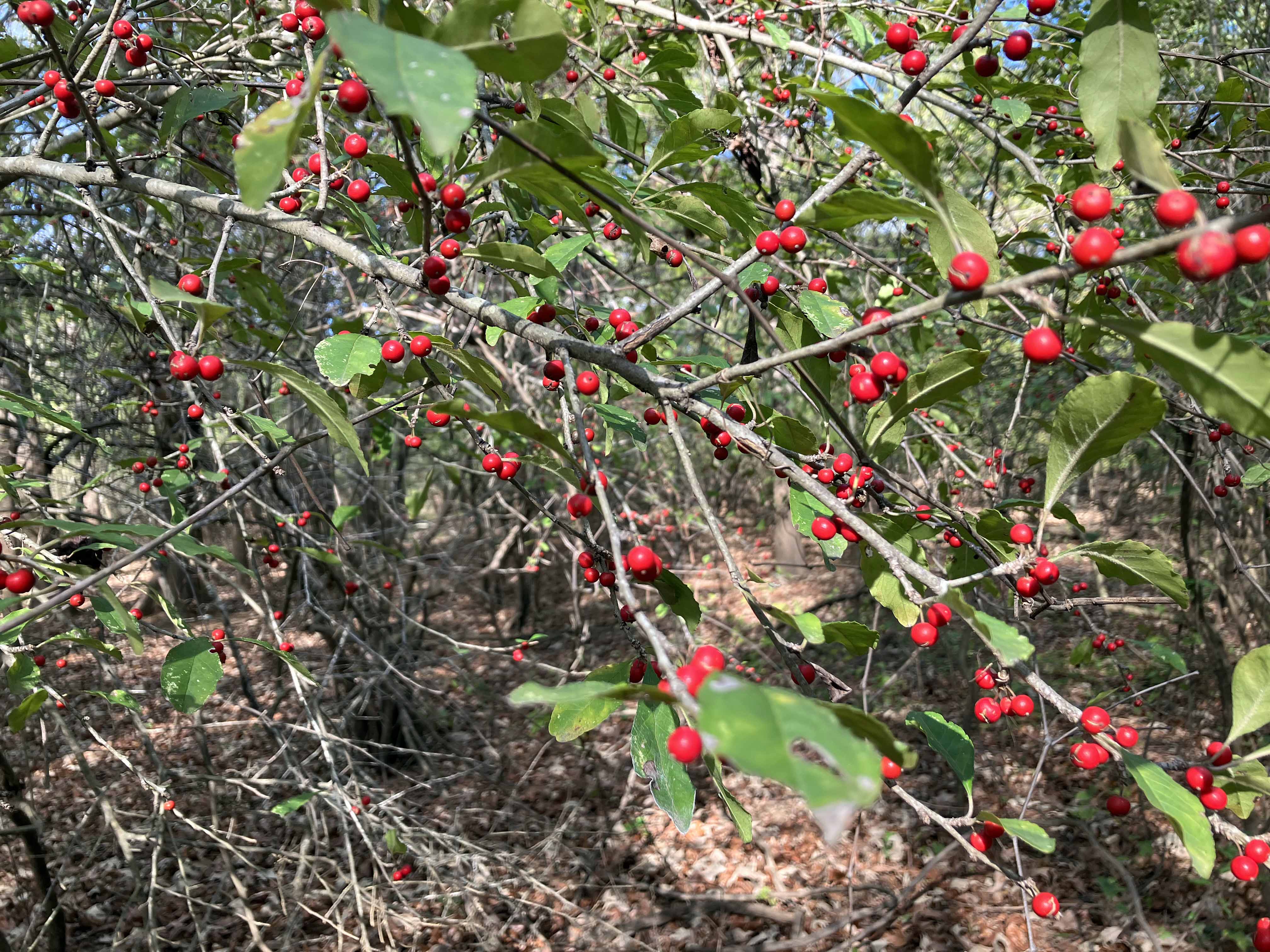
Above: There was a lot of this on this section of the river.
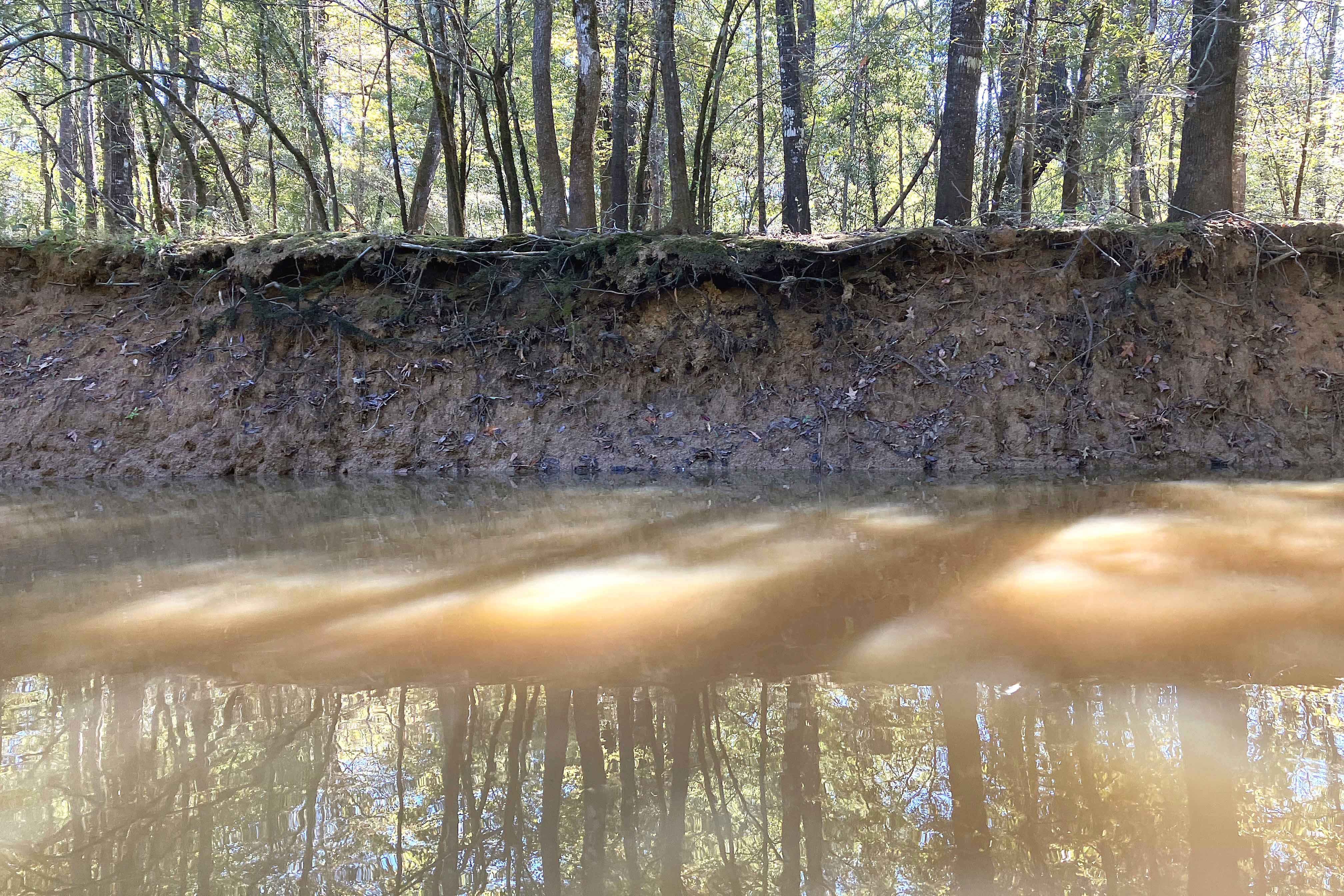
Above: Layer cake.
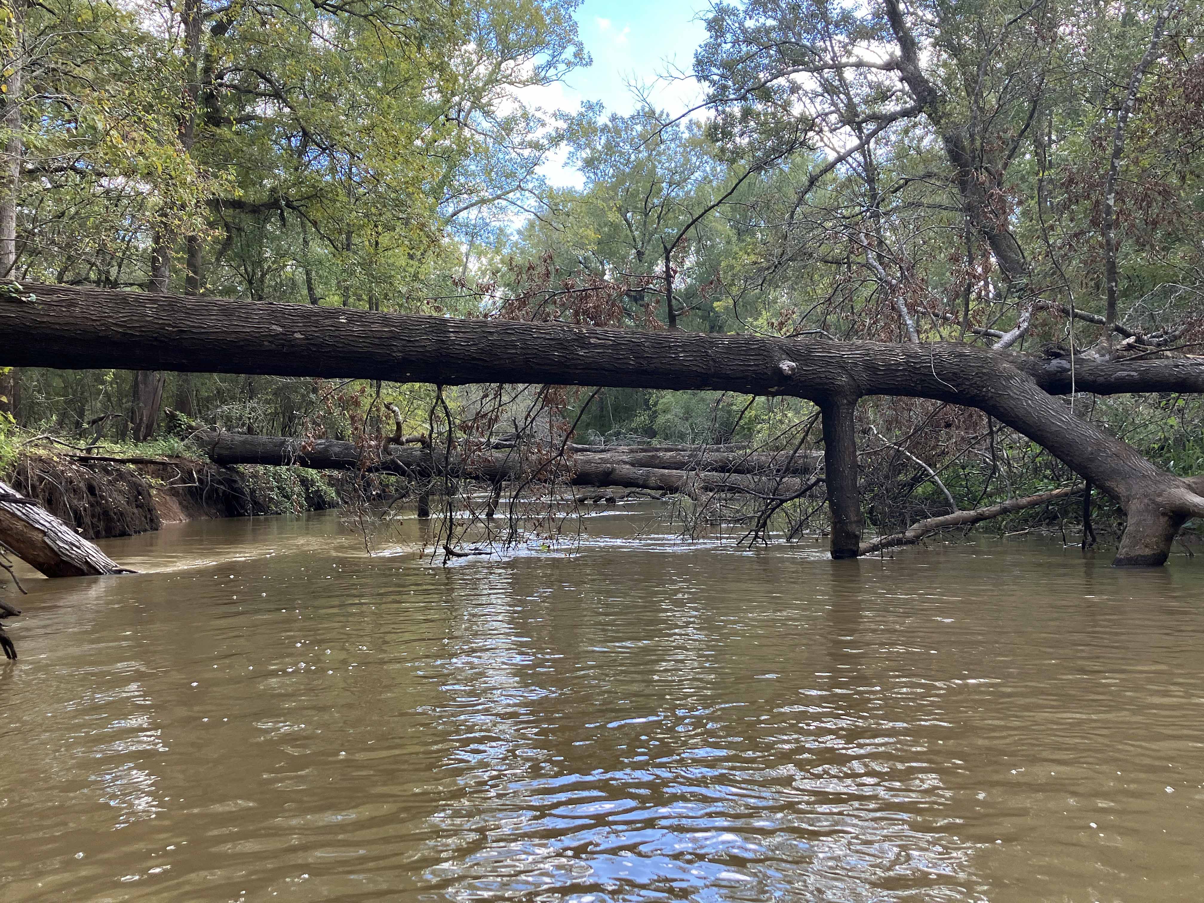
Above: Up and over looks like.

Above: Pushing through the brush, hard going.
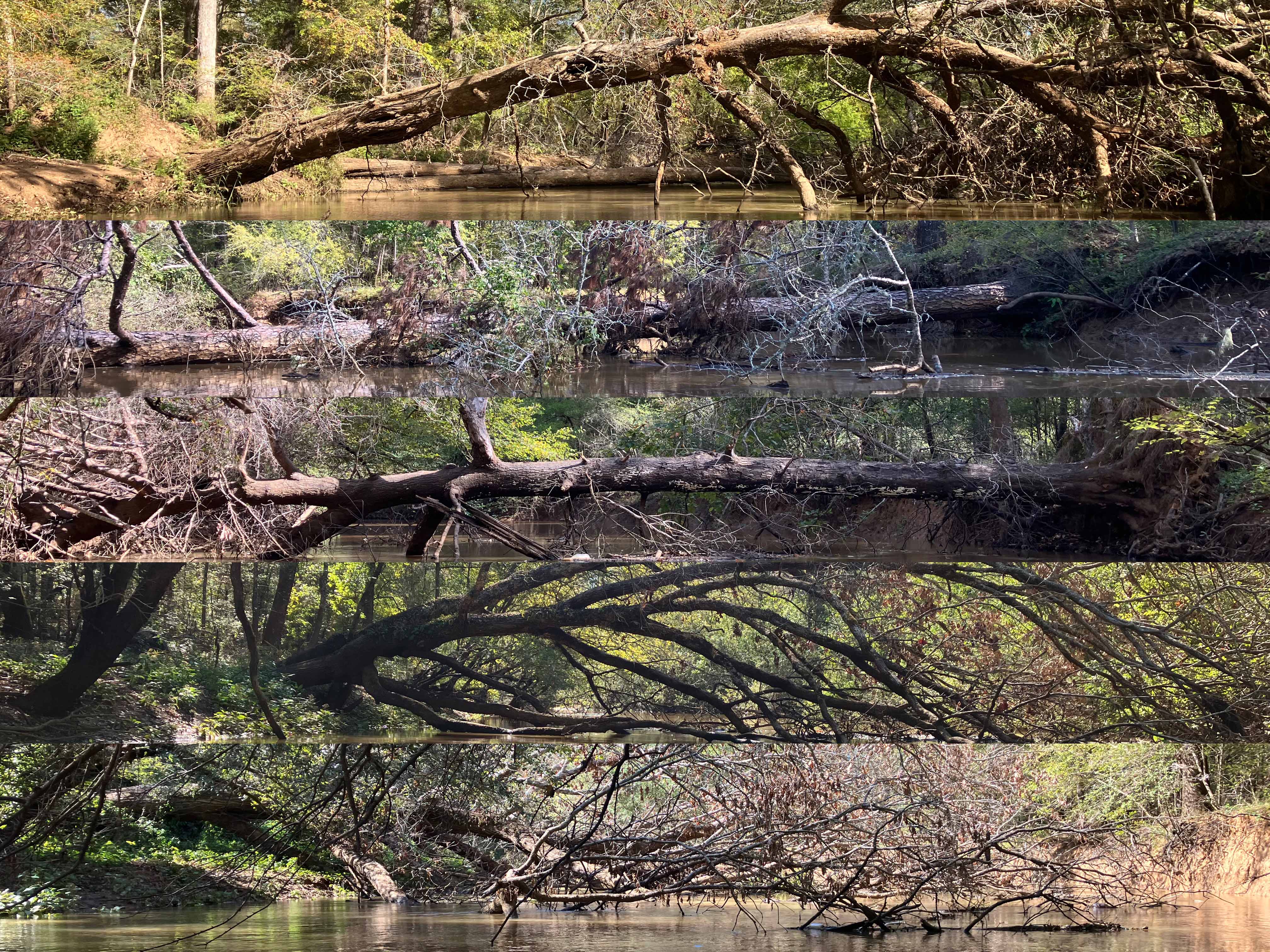
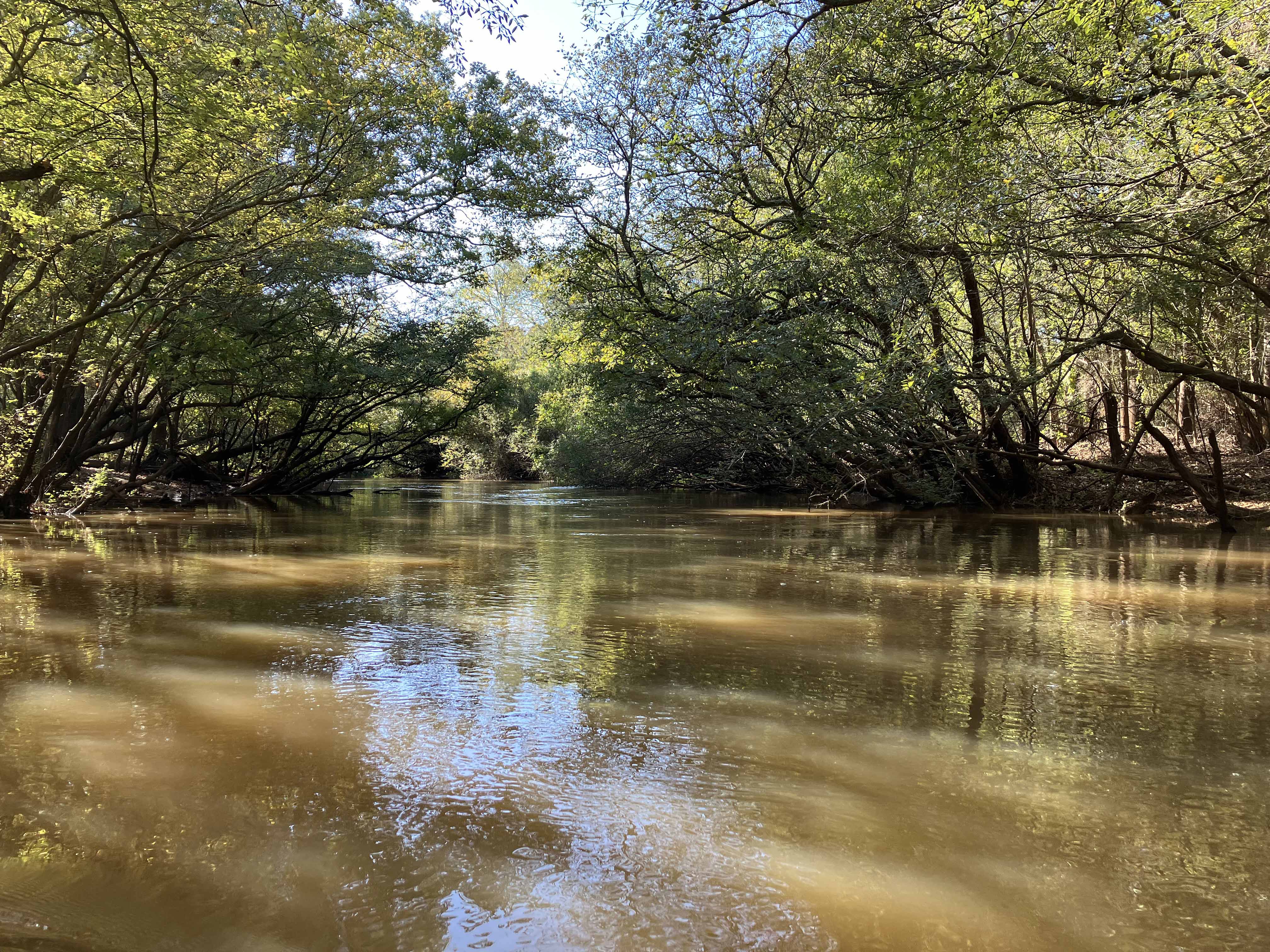
Above: Again and again and again.
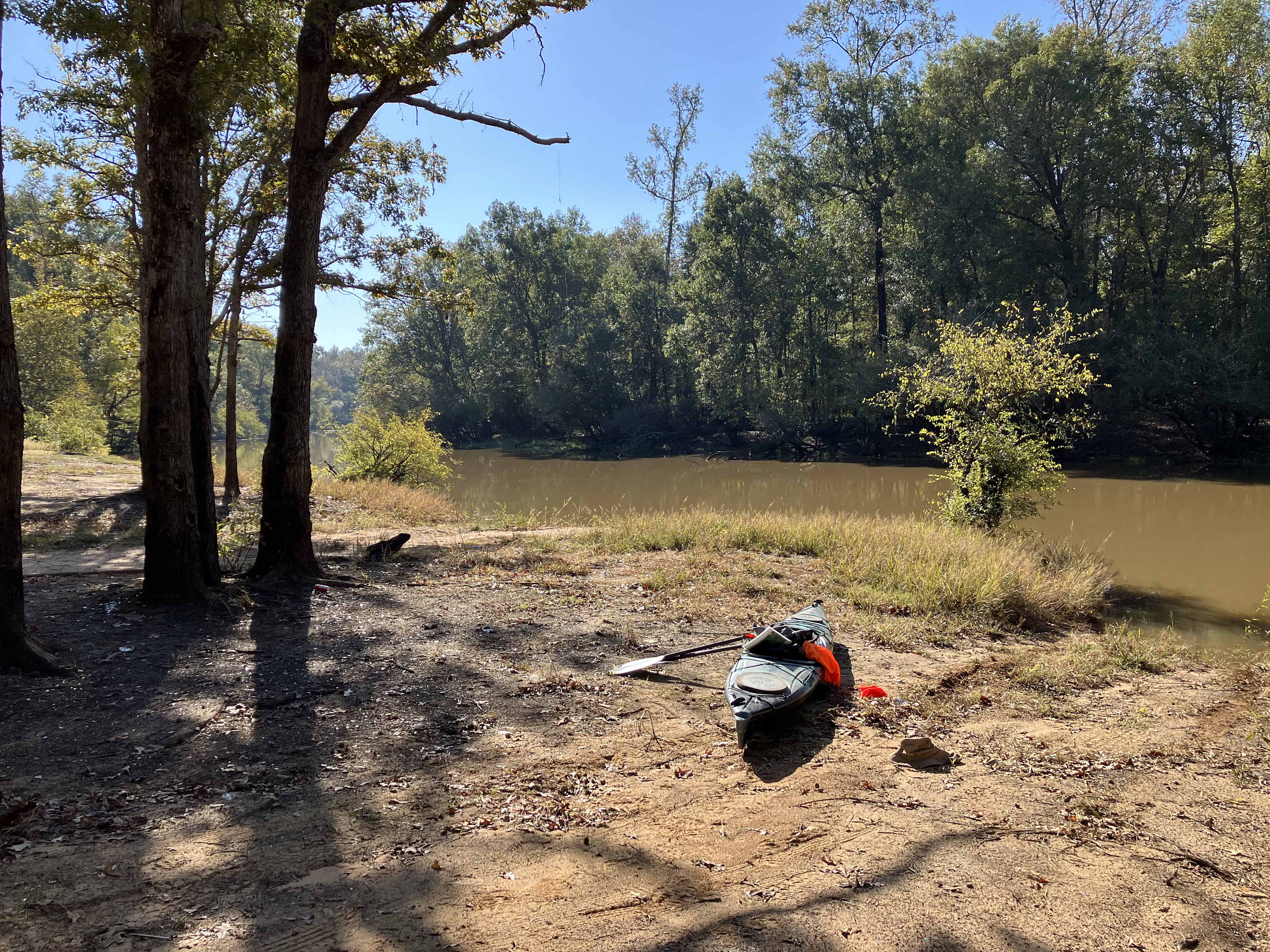
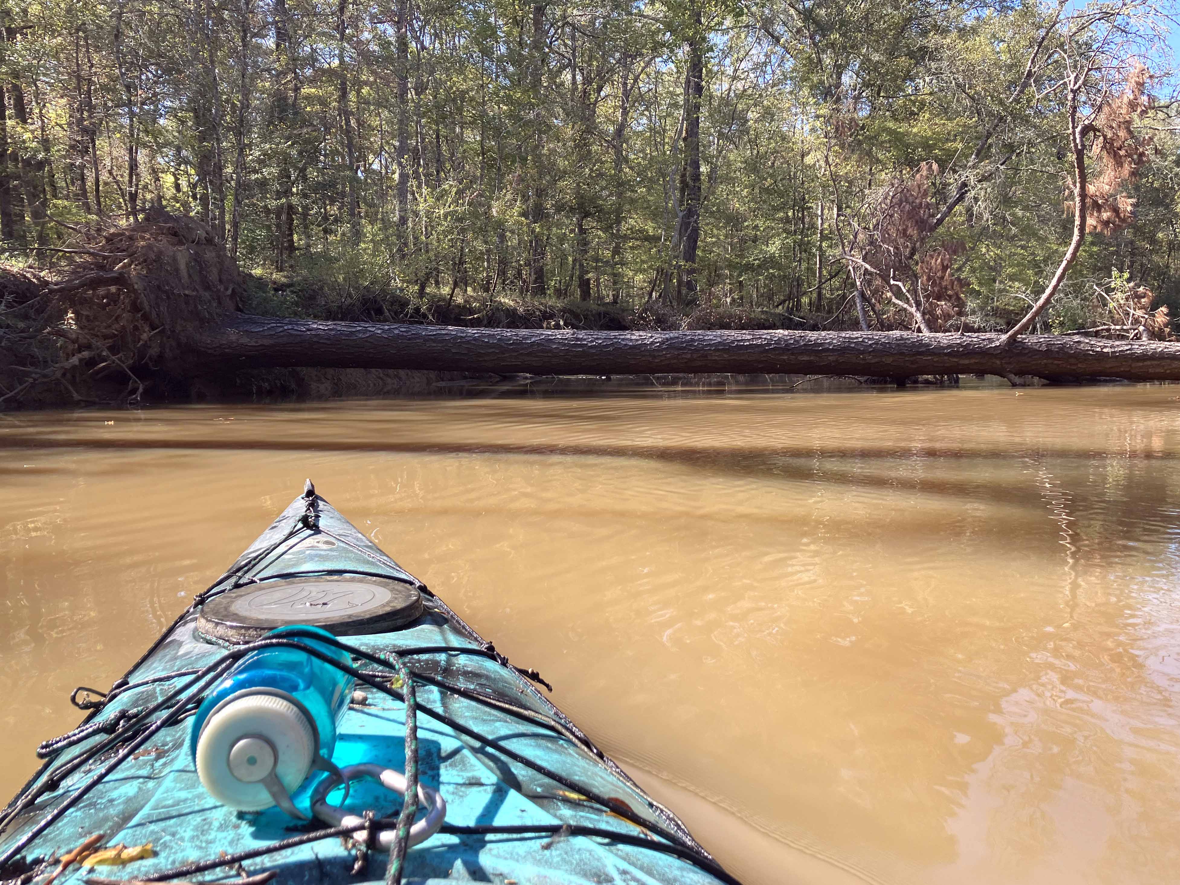
Above: The 529 Shawnee Bottom launch. An orange hunters vest is hanging off the boat. Wearing it helps with not getting shot.