Atchafalaya, Bayou Pigeon, Little Tensas
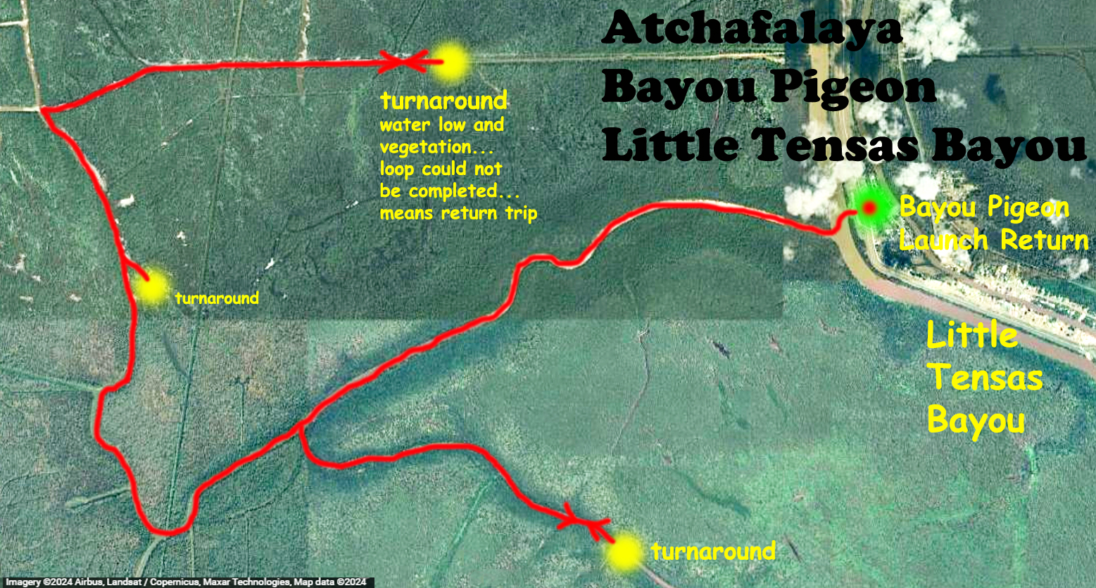
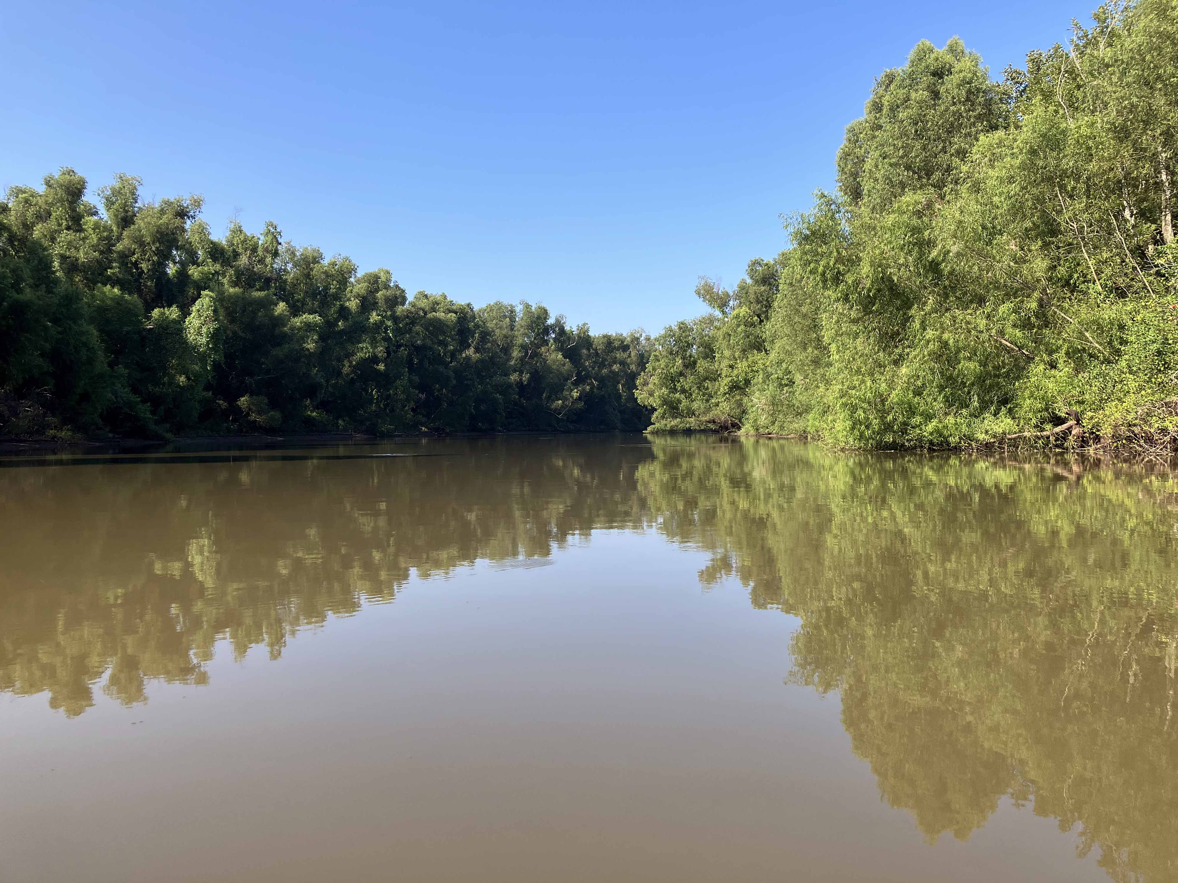
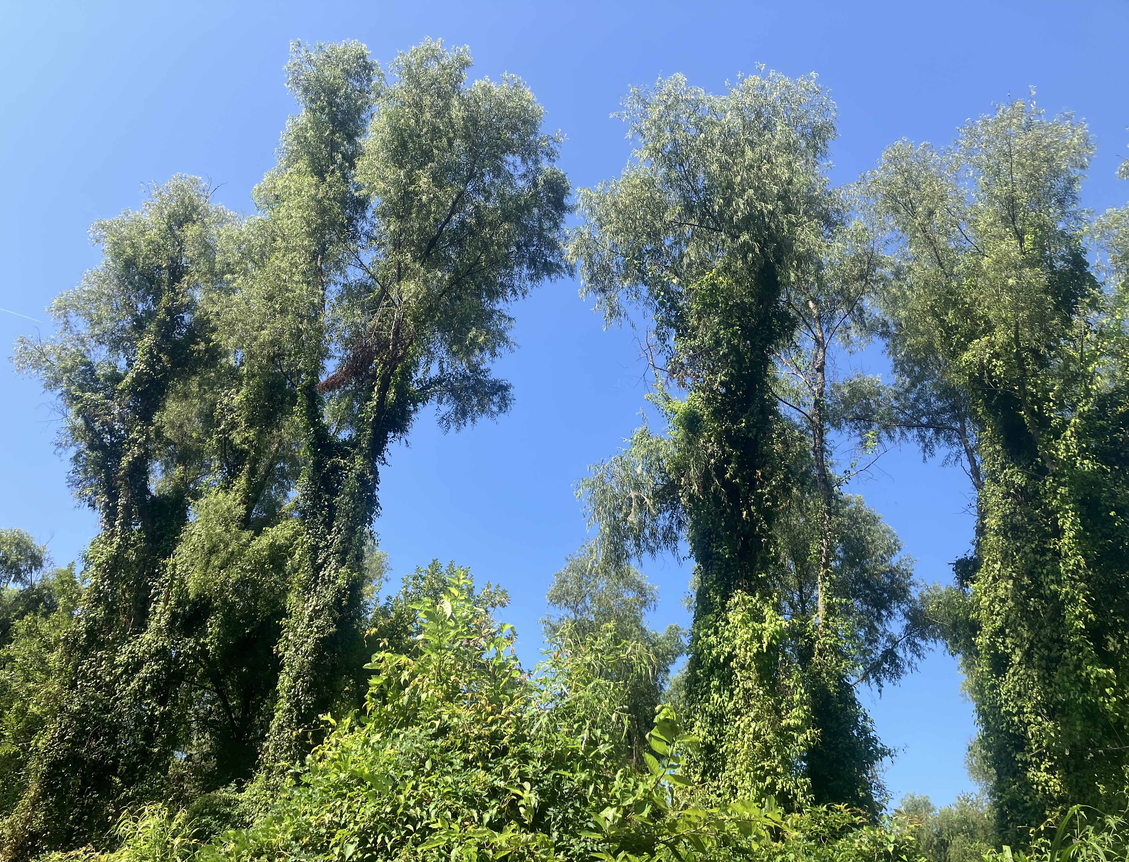
The above kayak route launches out of Bayou Pigeon on the east side of the Atchafalaya Basin. The Atchafalaya area is big; from Lake Fausse Pointe State Park on the west side to the Bayou Pigeon launch on the east side is one and a half to two hours drive depending on whether you go north and over or south and over. This trip was my first on the east side of the basin and the launch was picked from Herndon’s excellent book. I found the area to have some plusses and minuses. The land is all posted no trespassing, the swamp is largely canalized, and quite a few powerboats cruise the main throughways, even on weekdays. The privatization of the area makes for a different experience than in WMAs and NWRs. And, to some extent paddling down an artificially straight canal and turning around feels a bit manufactured. However, with higher water levels more route options are available and there are a bunch of east-side launch site locations that allow access into the interior of the swamp. And, as the pictures below show, it can still be a very pretty area. This particular trip was a first test of an ‘east side experience’. Looking at the map you can see I had hoped to, and almost made, a loop back around to the Little Tensas (so labeled by Google maps, labeled by DeLorme as Intracoastal Waterway). But, a mile or two short it became unavoidably clear that the water levels were too low, the water hyacinth (lilies) too thick…the passage had run out. So, I turned around and returned the same way, about 22 miles all told, and it was hot.
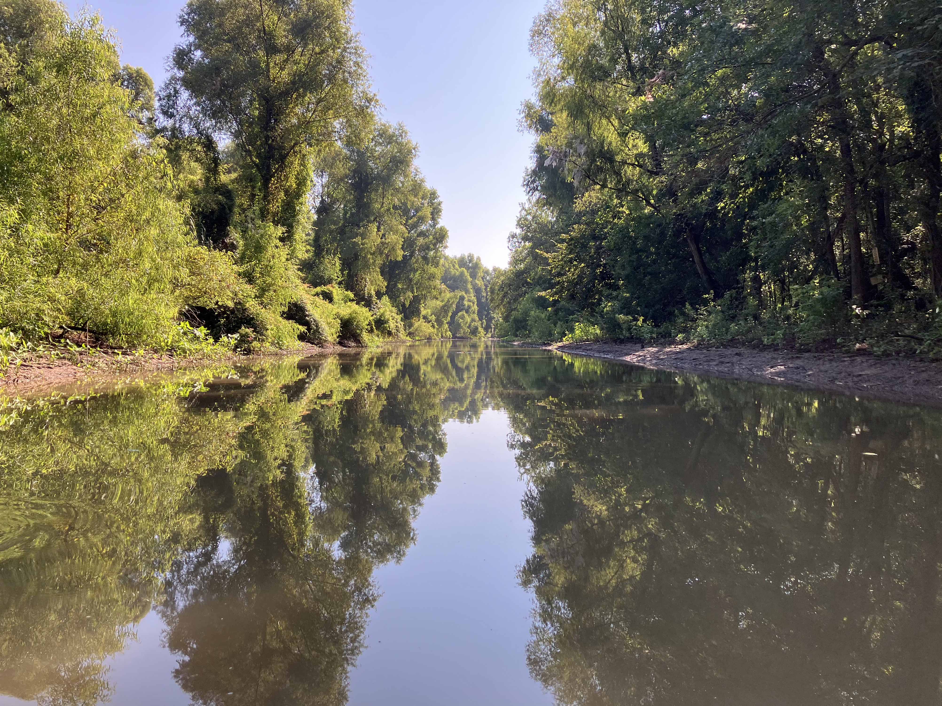
Above: The water is low, the banks are pretty muddy.
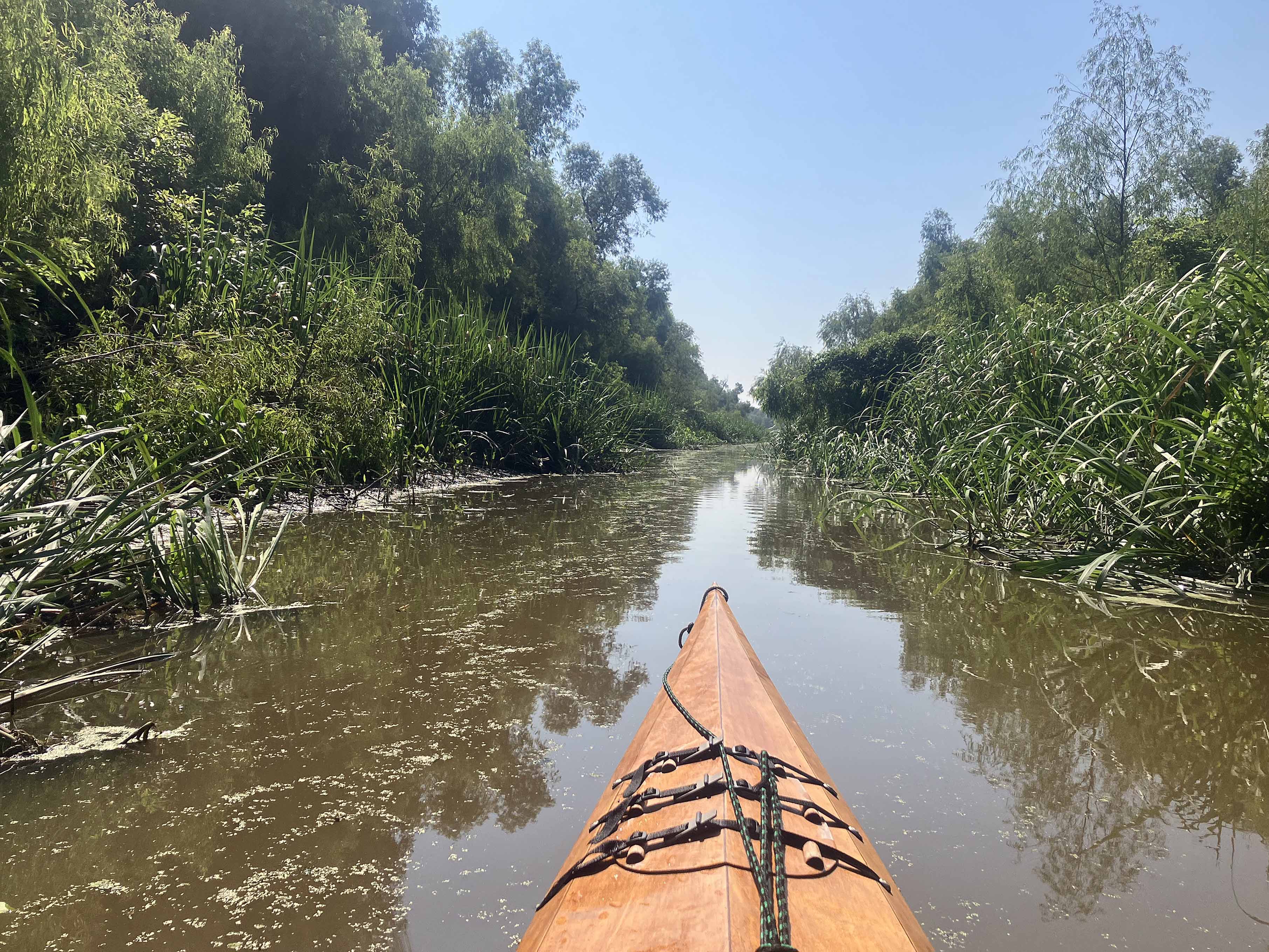
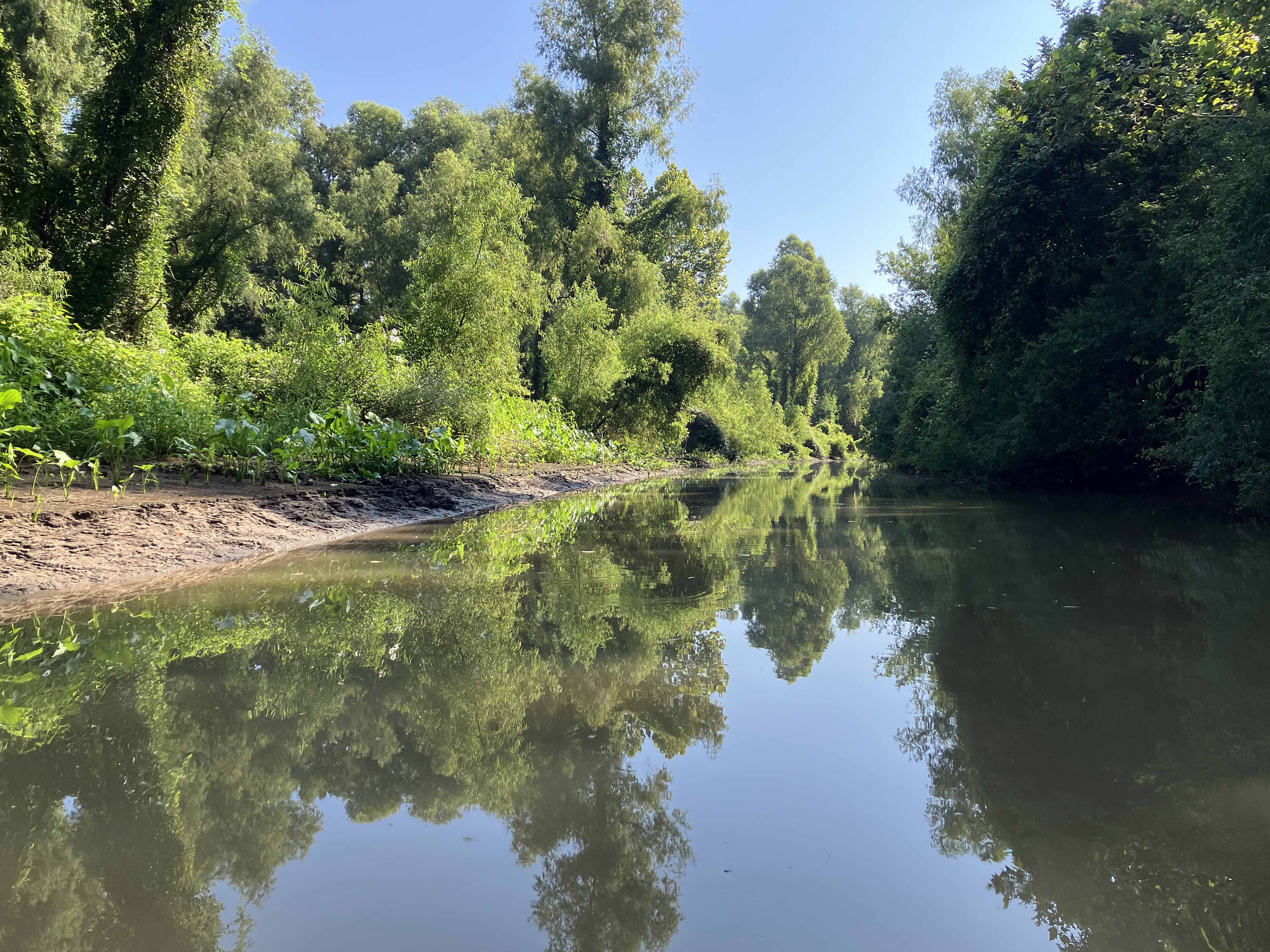
Above: Into Turkey Bayou, as named on posted signs.
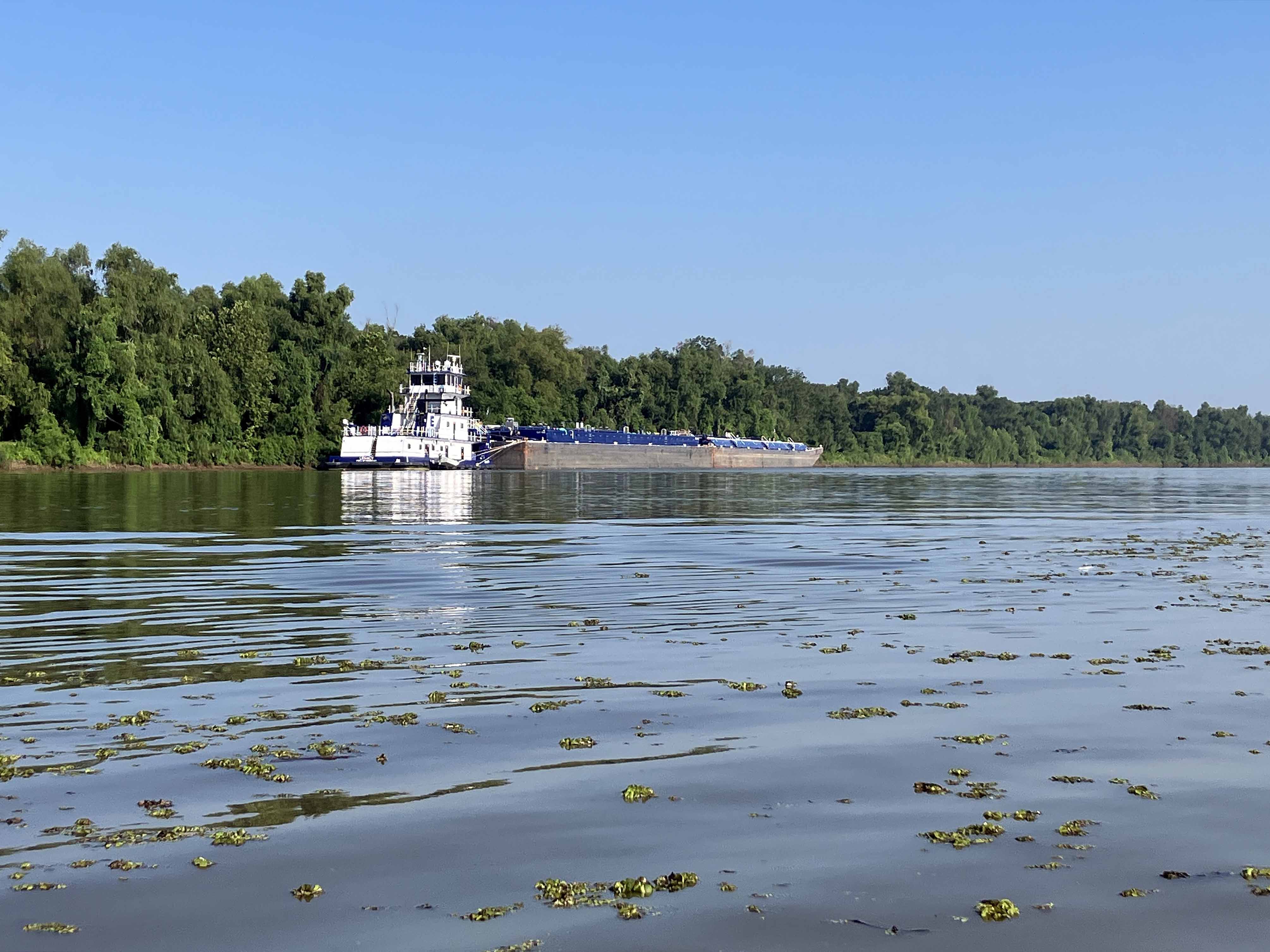
Above: Big Barge near the launch.
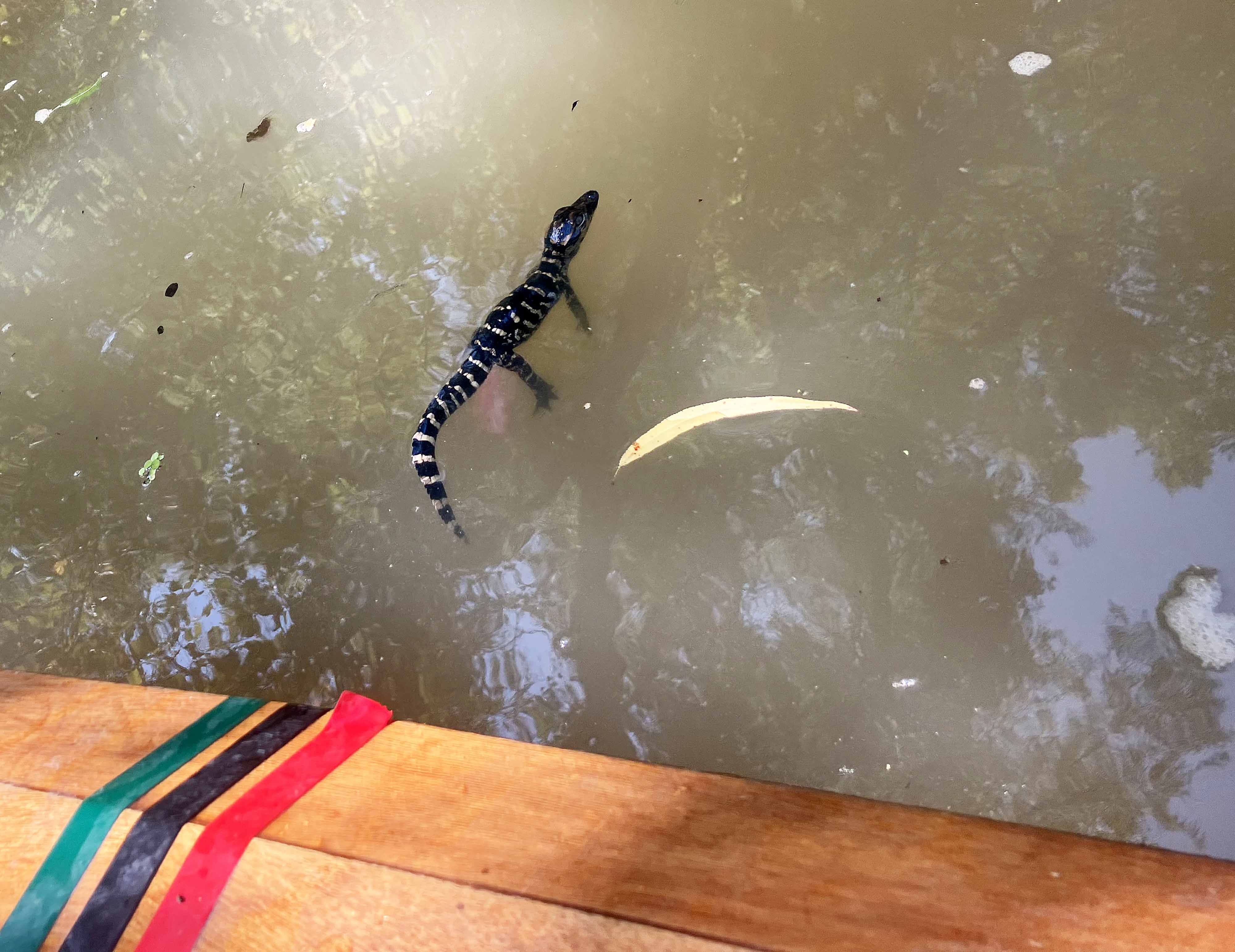
Above: Momma crashed into the water, leaving junior squeaking right by the boat. Took a quick snapshot and left ASAP.
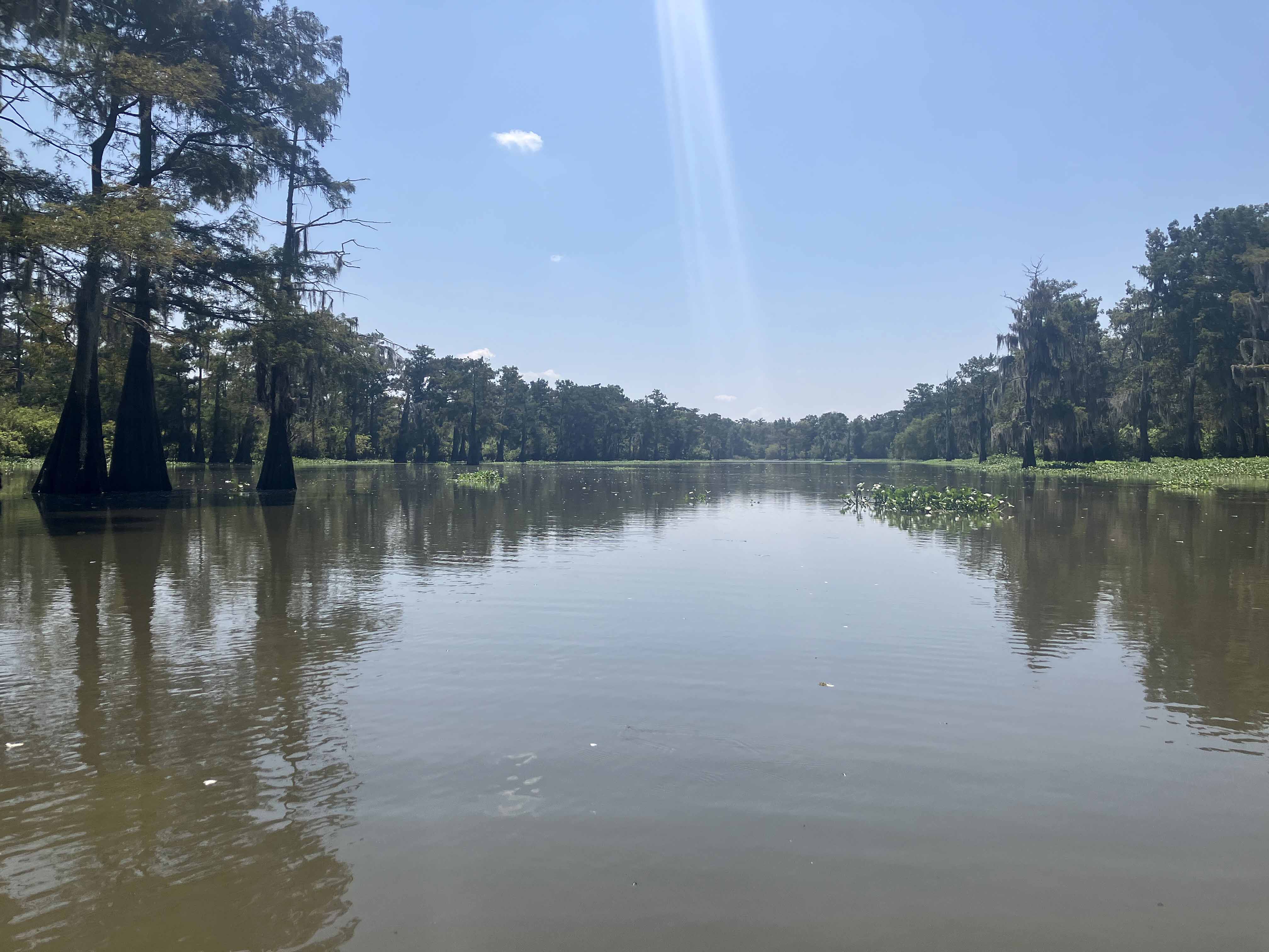
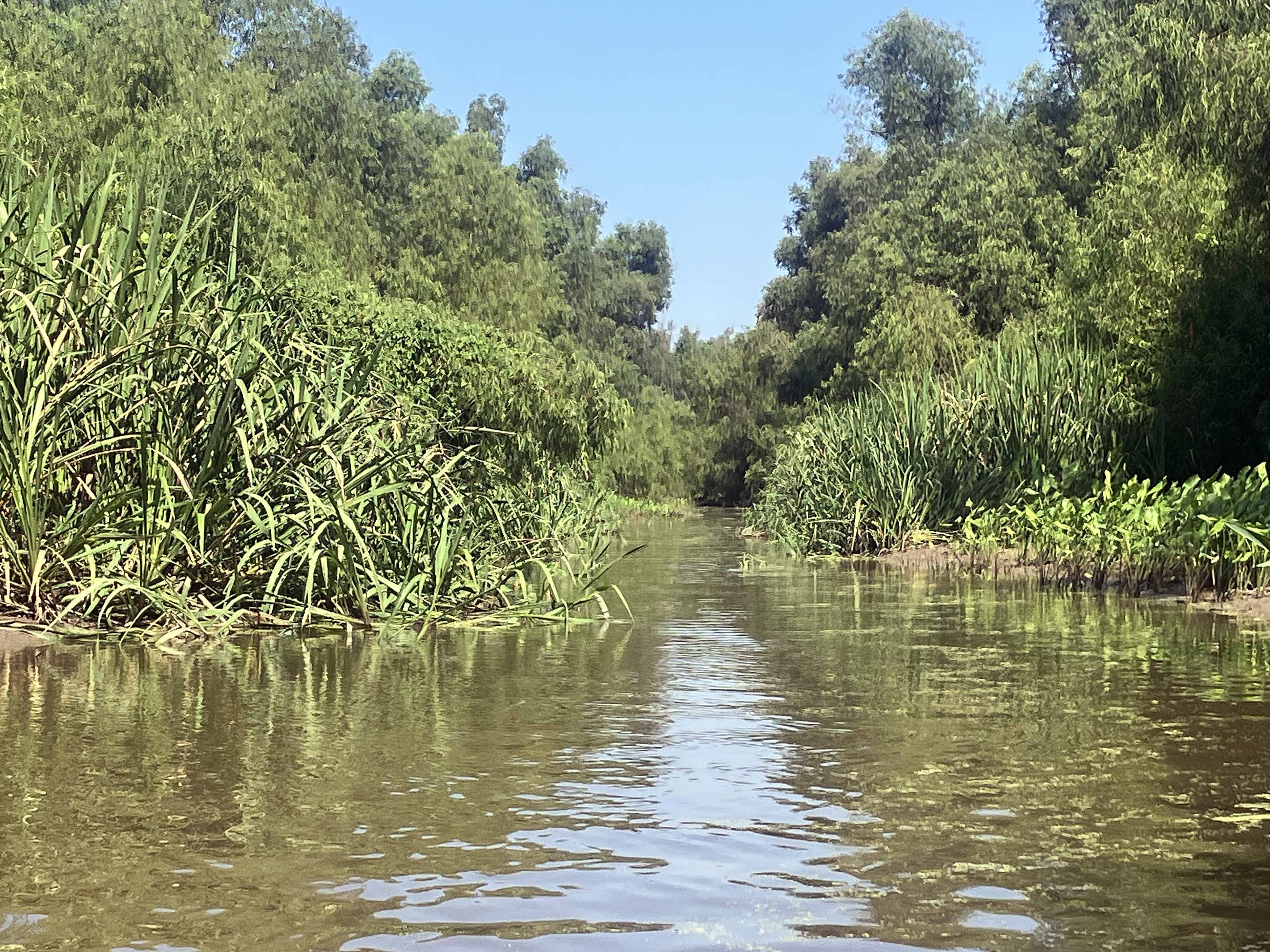
Above: I wonder what will happen if I go down here?
