Atoka Lake, North Boggy, Oklahoma A
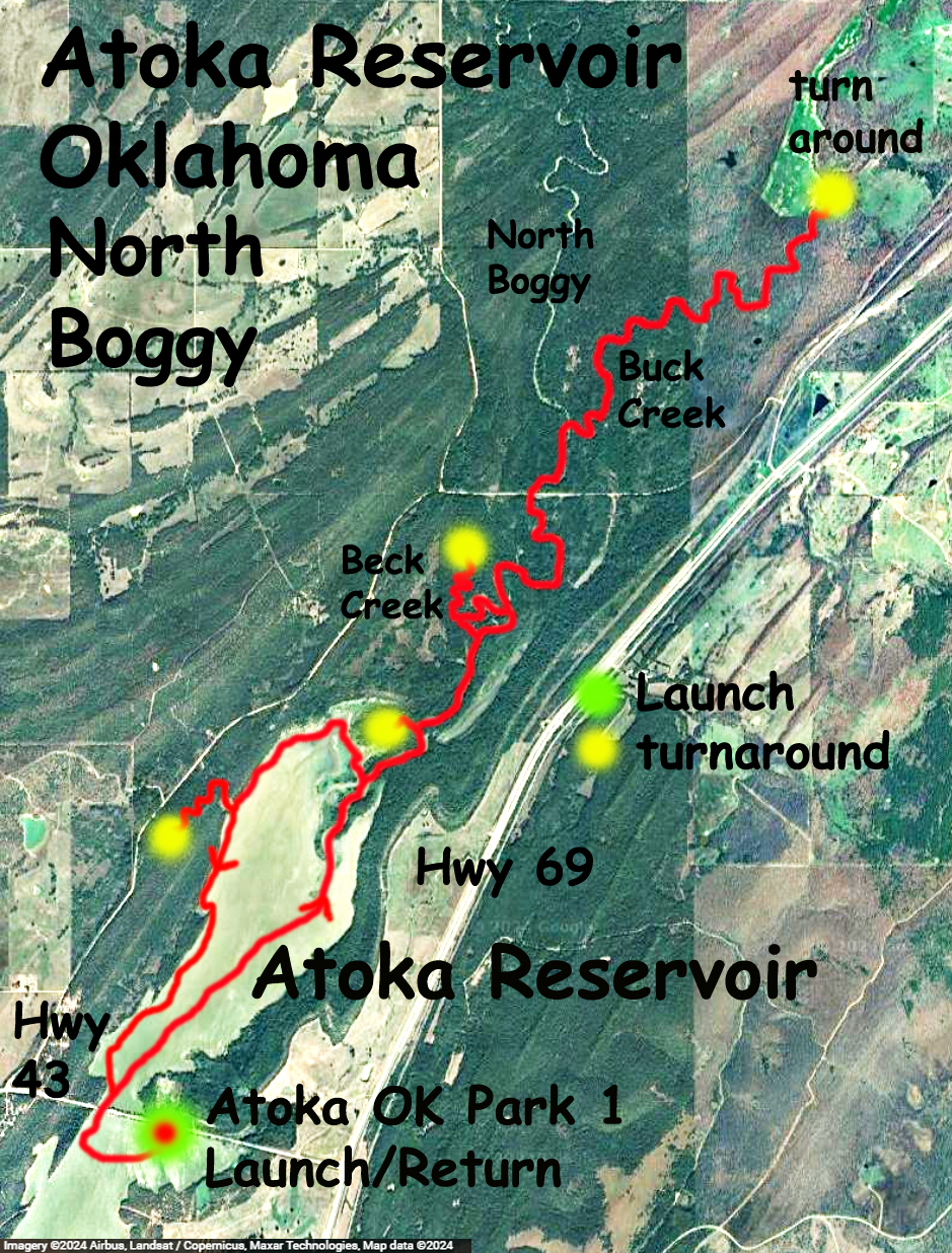
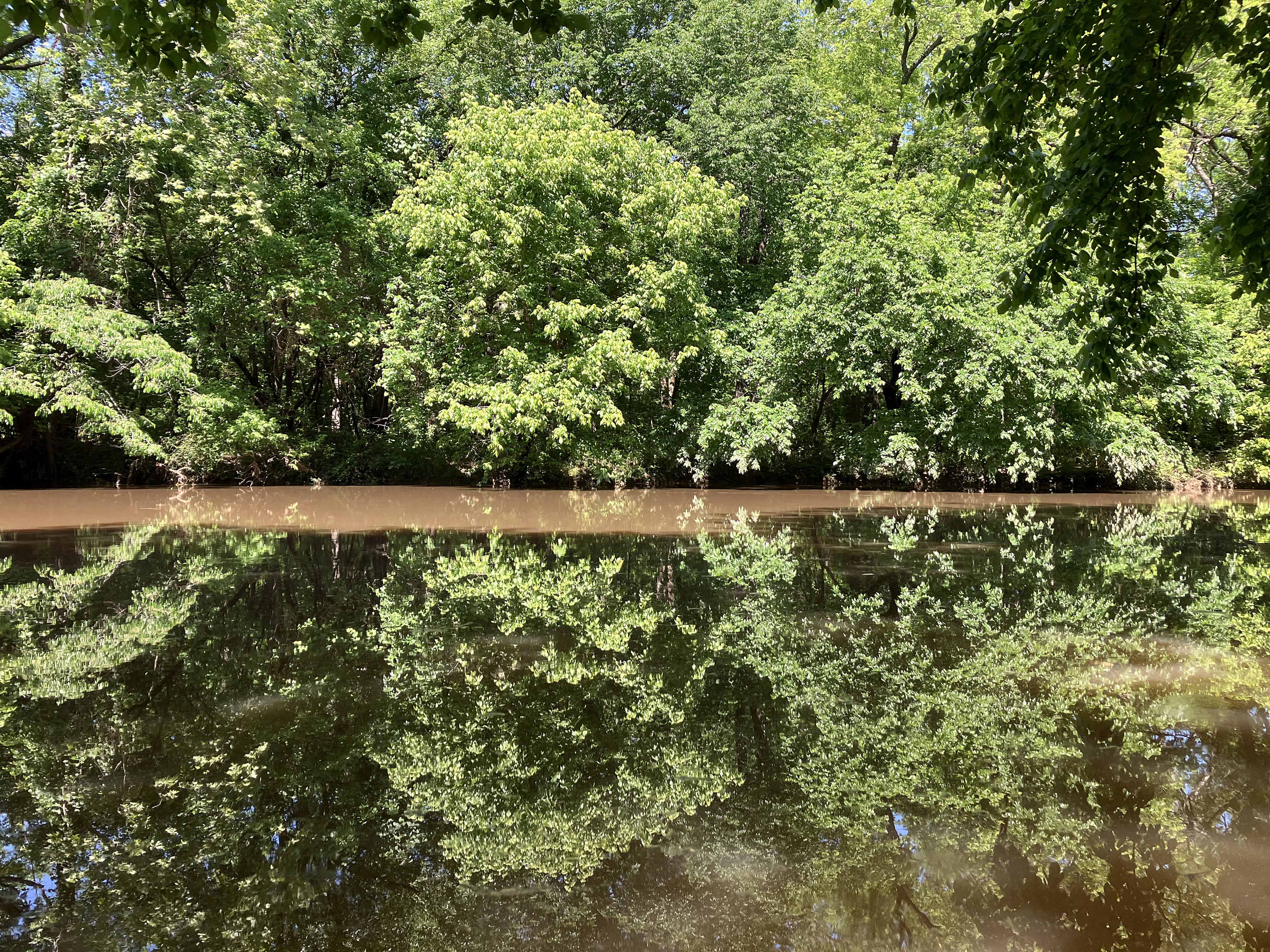
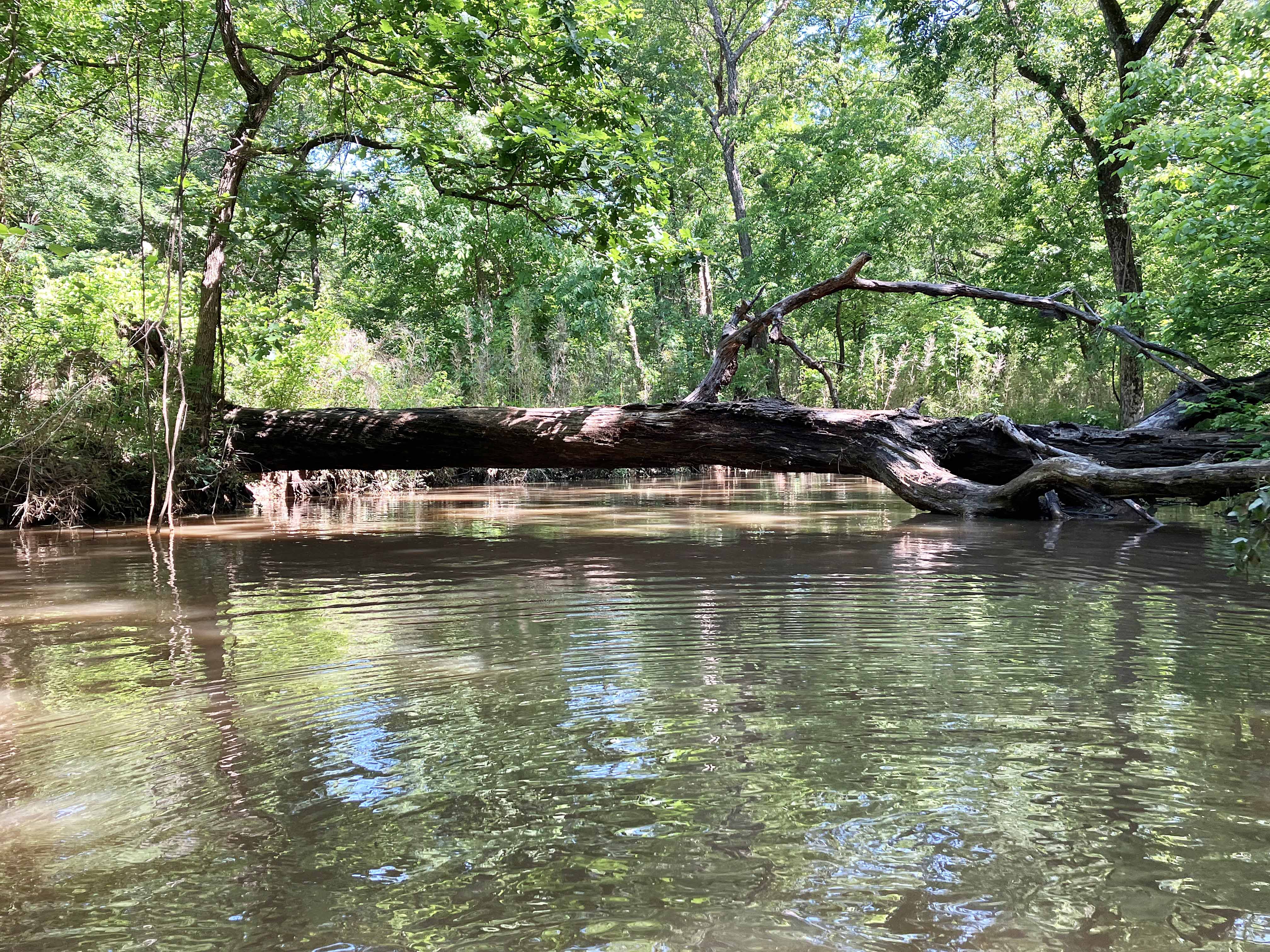
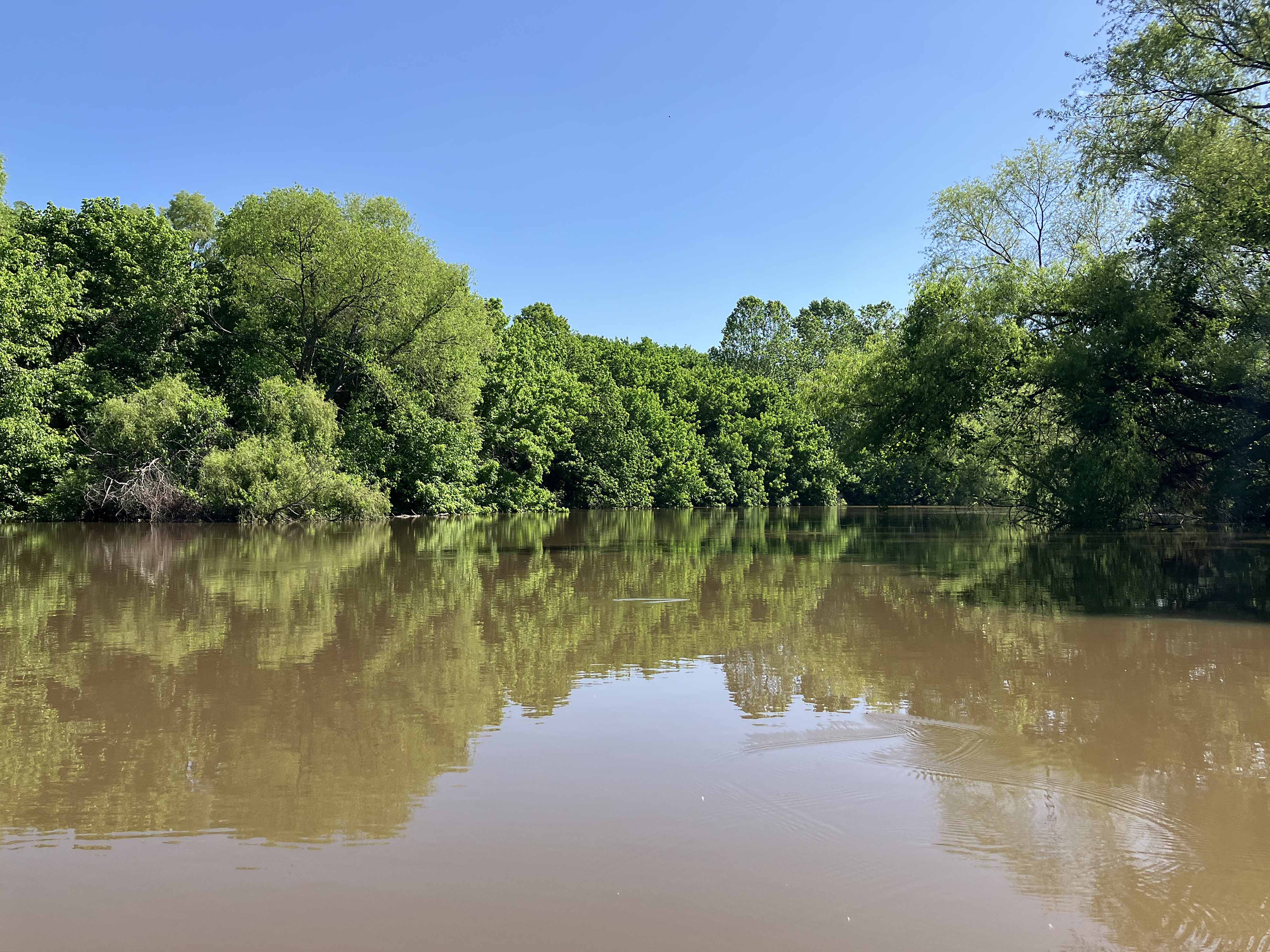
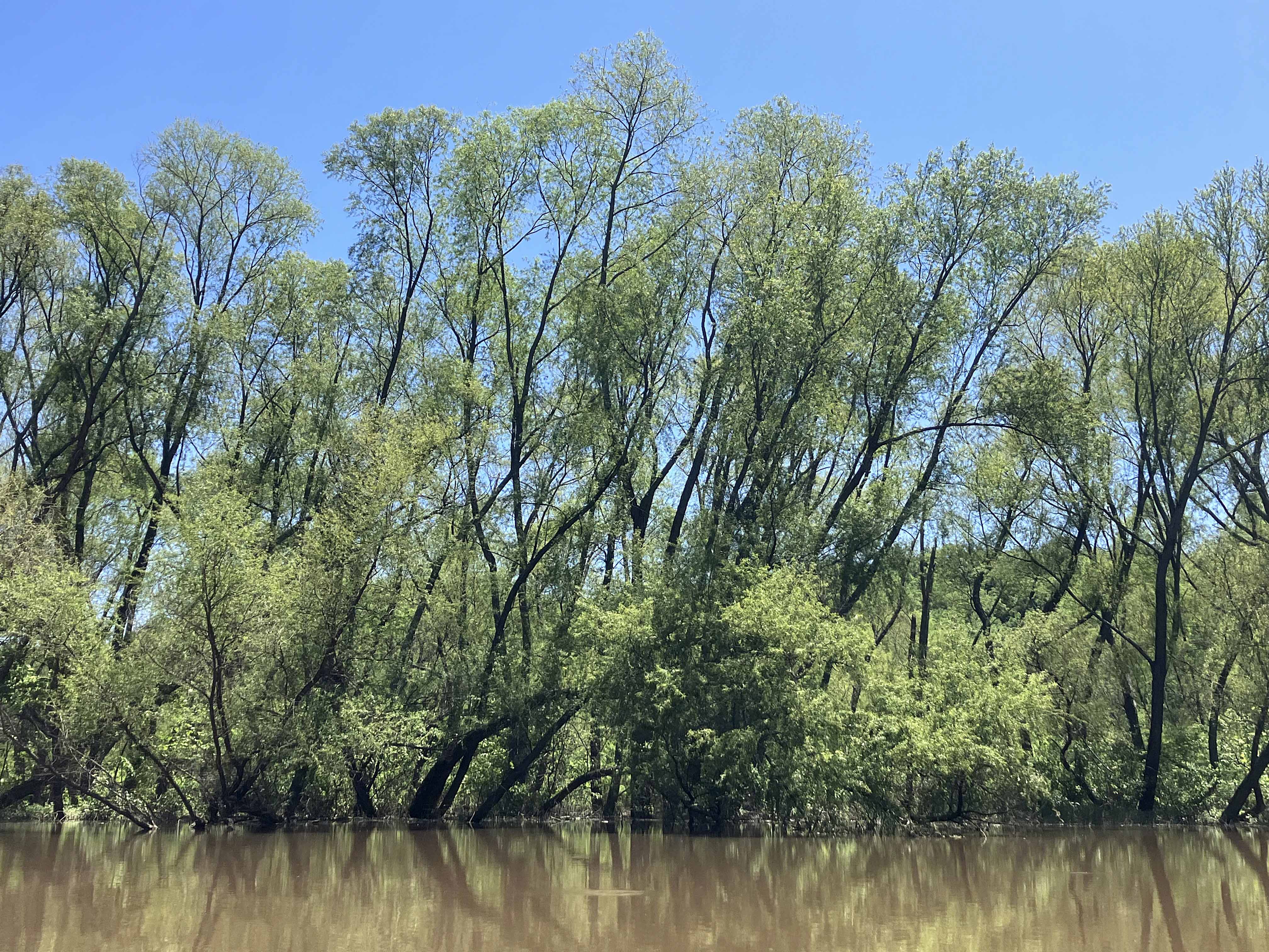
Atoka Lake, or Reservoir, in Oklahoma, is accessed by turning west from Highway 69 onto Highway 43 just north of Atoka and Stringtown. The turn is about a mile north of the correctional center, and the launch is on the left hand side of the road. From that launch I did a couple kayak trips, one of which shown on the map above. This one goes north into the North Boggy Creek and splits into Buck Creek. The open water part on the lake is fine enough, but I was surprised just how nice the North Boggy and Buck Creek sections were. Both felt like warm, relaxed, shady Southern rivers that you just eased your way along. At the turnaround point the gradient of Buck Creek increases and it becomes rockier and more shallow. Heard some deer barking and saw a fine looking coyote.
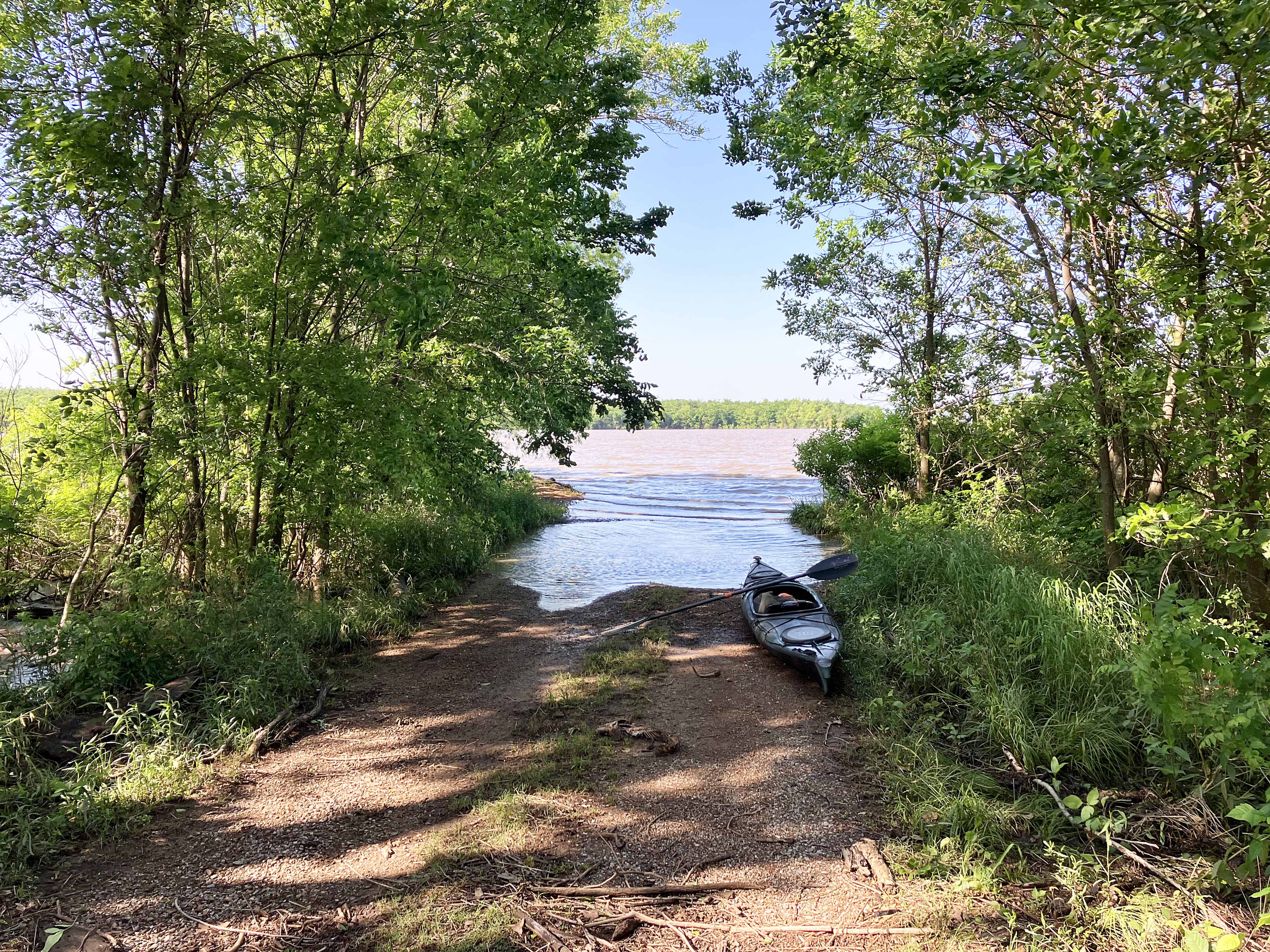
Above: Launch site into Atoka Reservoir off of Highway 43 north of Stringtown, OK.
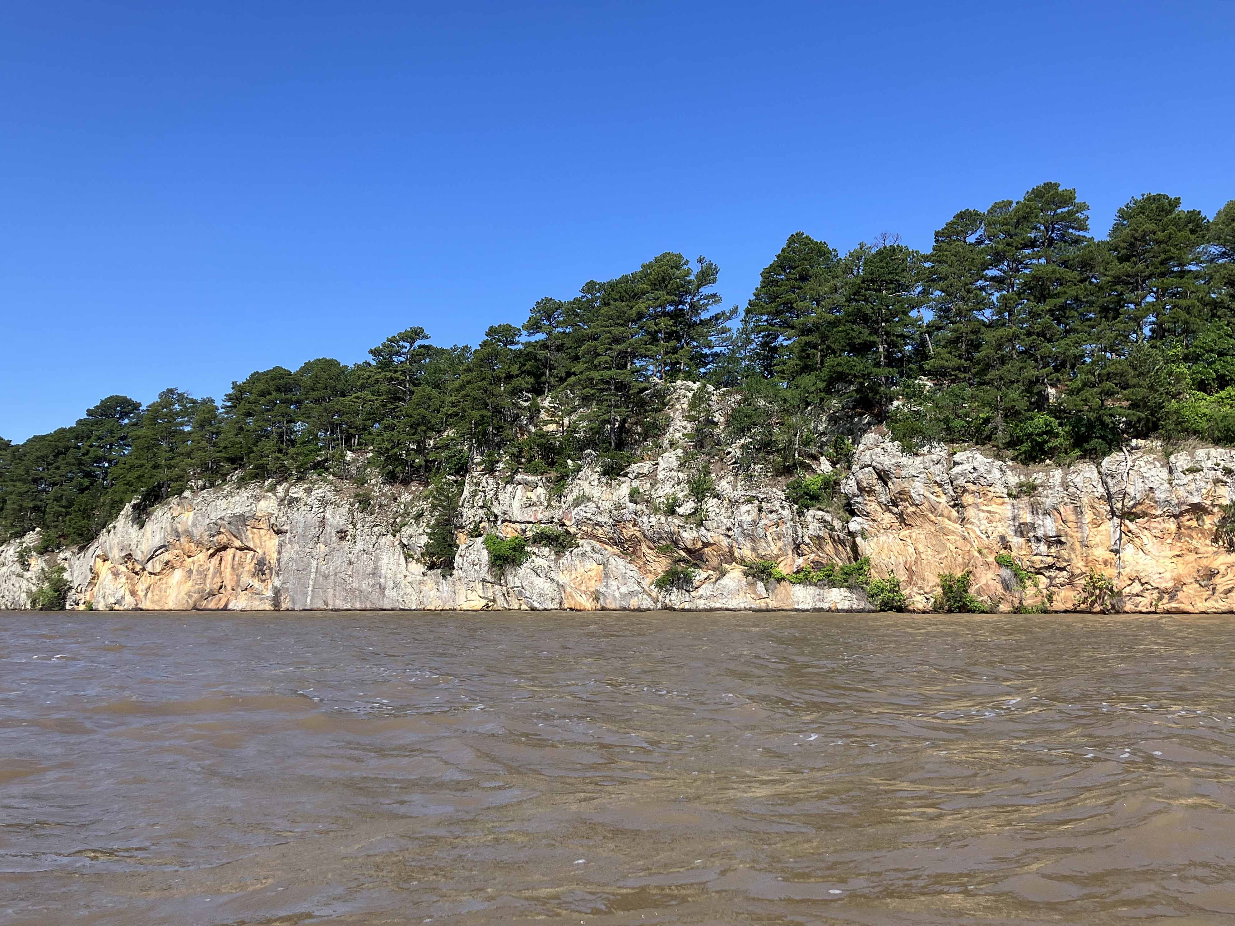
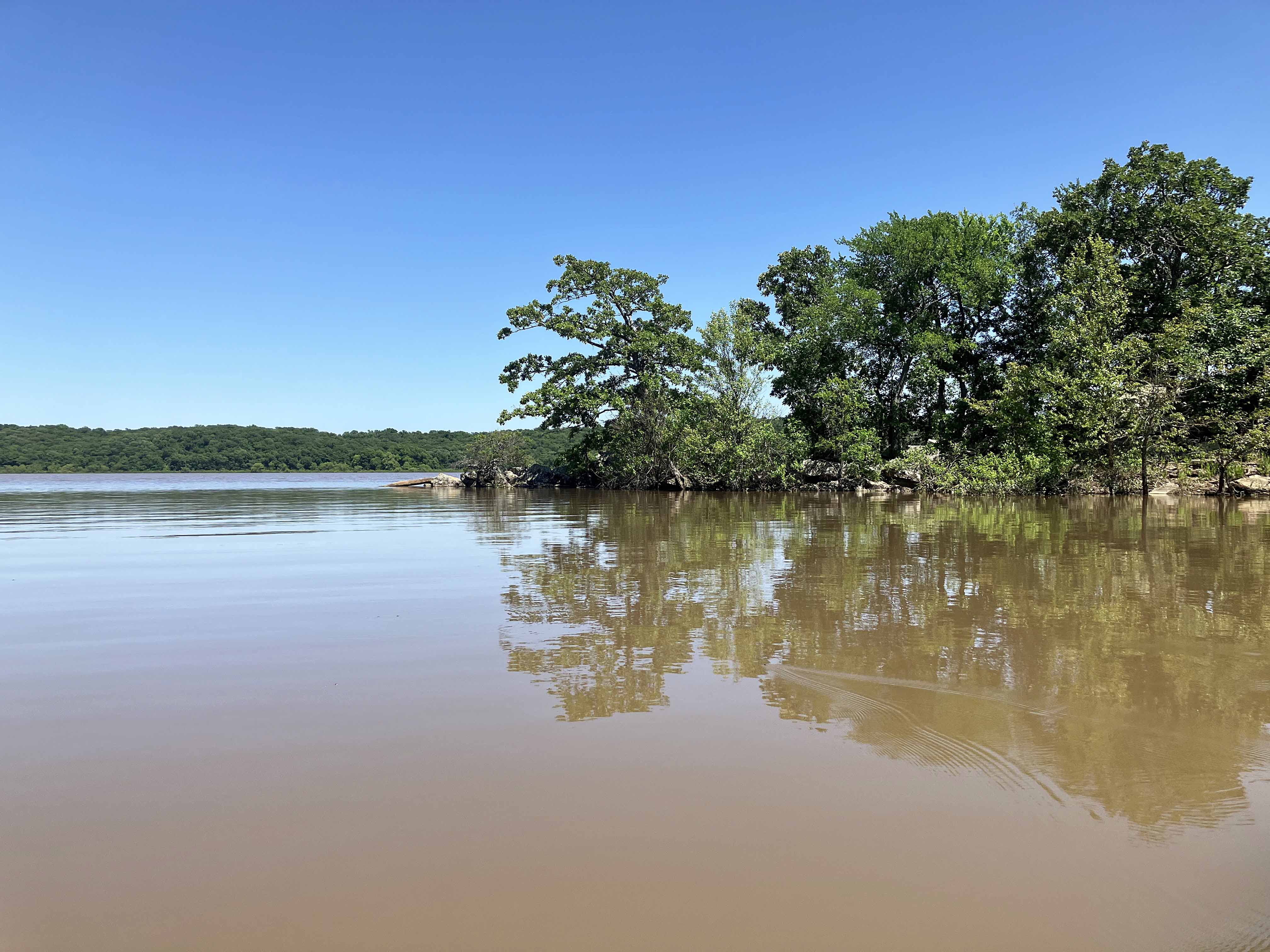
Above: Some cliffs are right around the corner of the launch site.
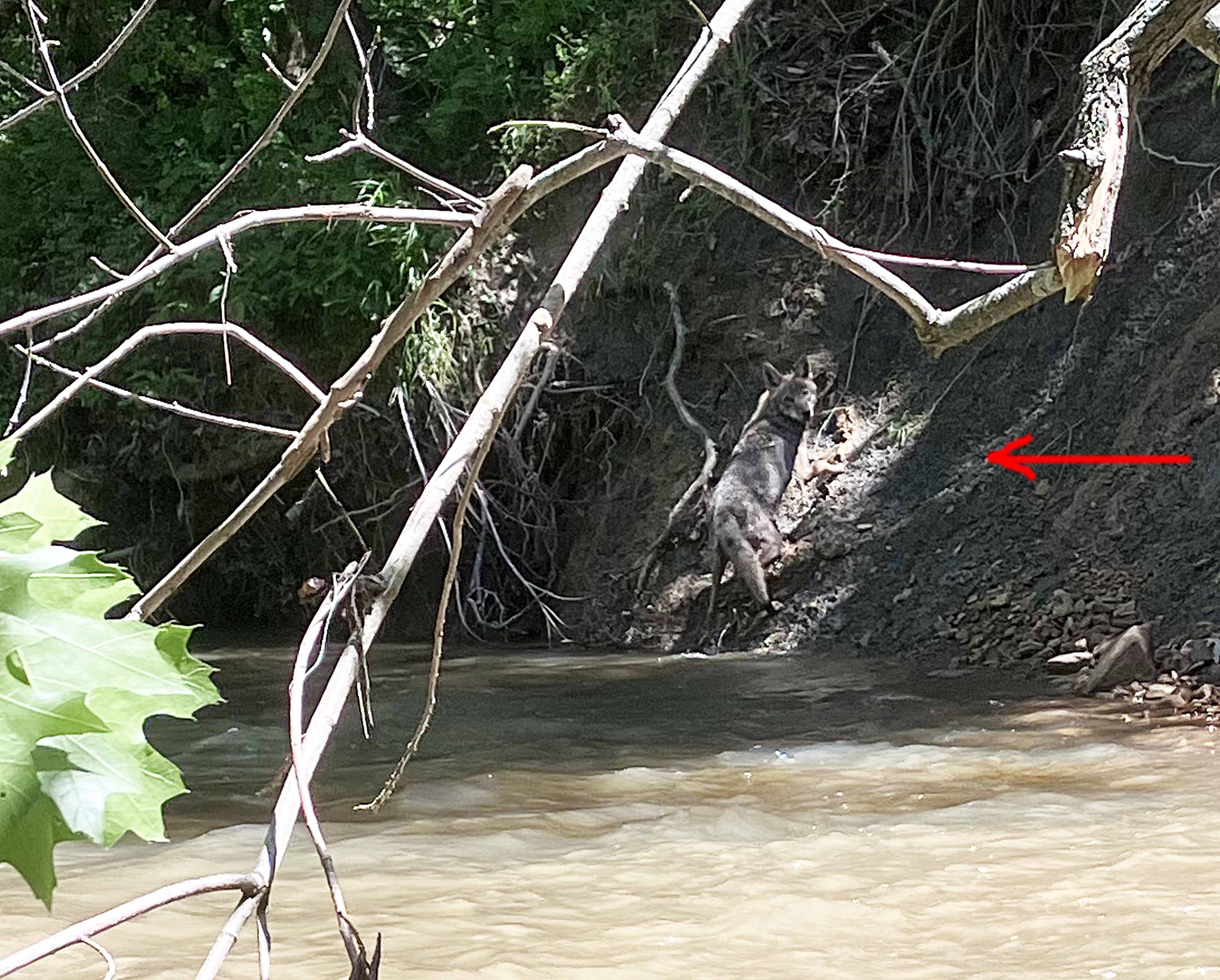
Above: Nice looking coyote?, looking back to see what’s going on.
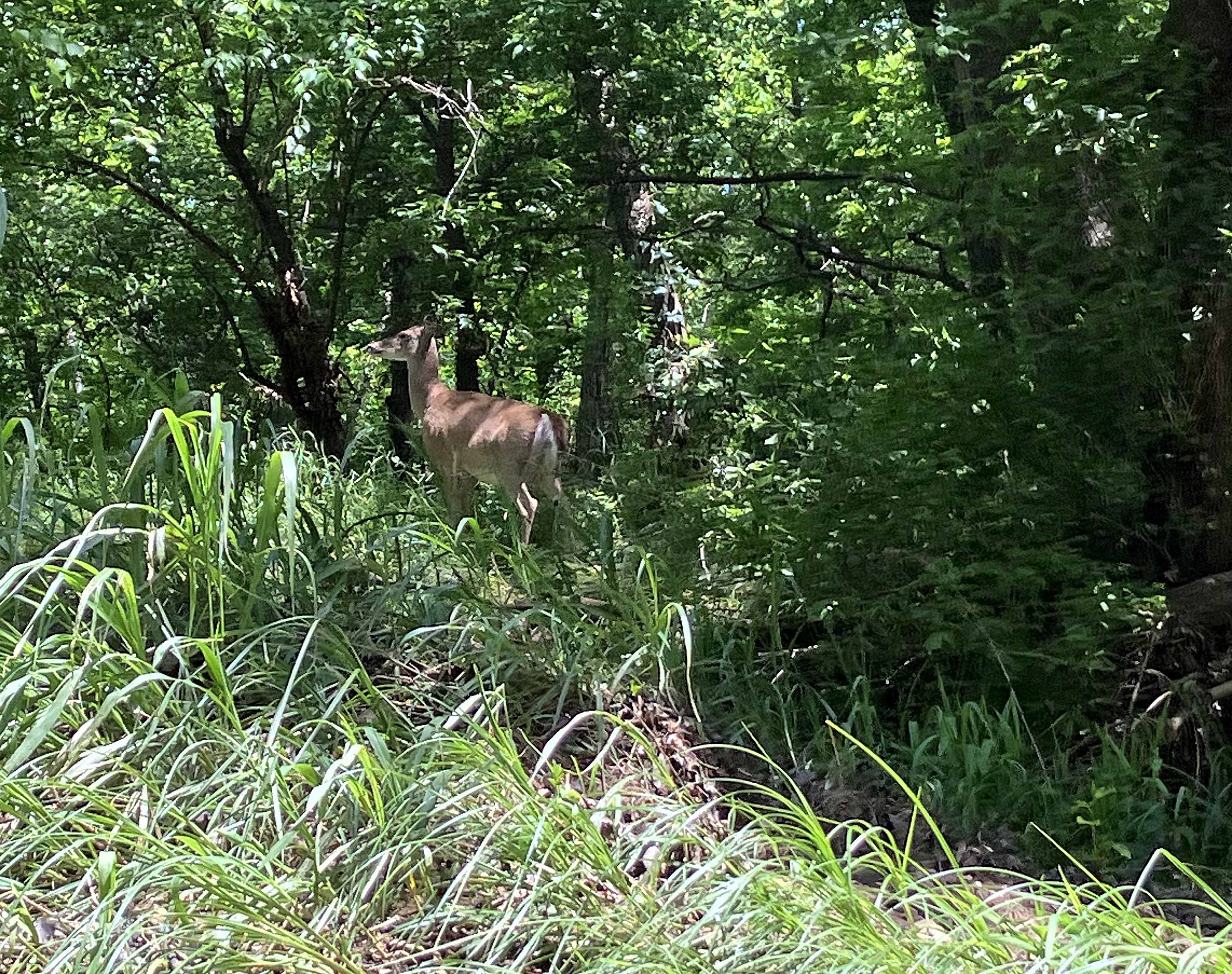
Above: The deer really bark here, kind of notable.