Caddo G 805 WMA Launch Kitchen Creek
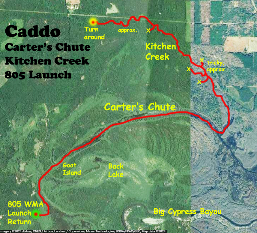
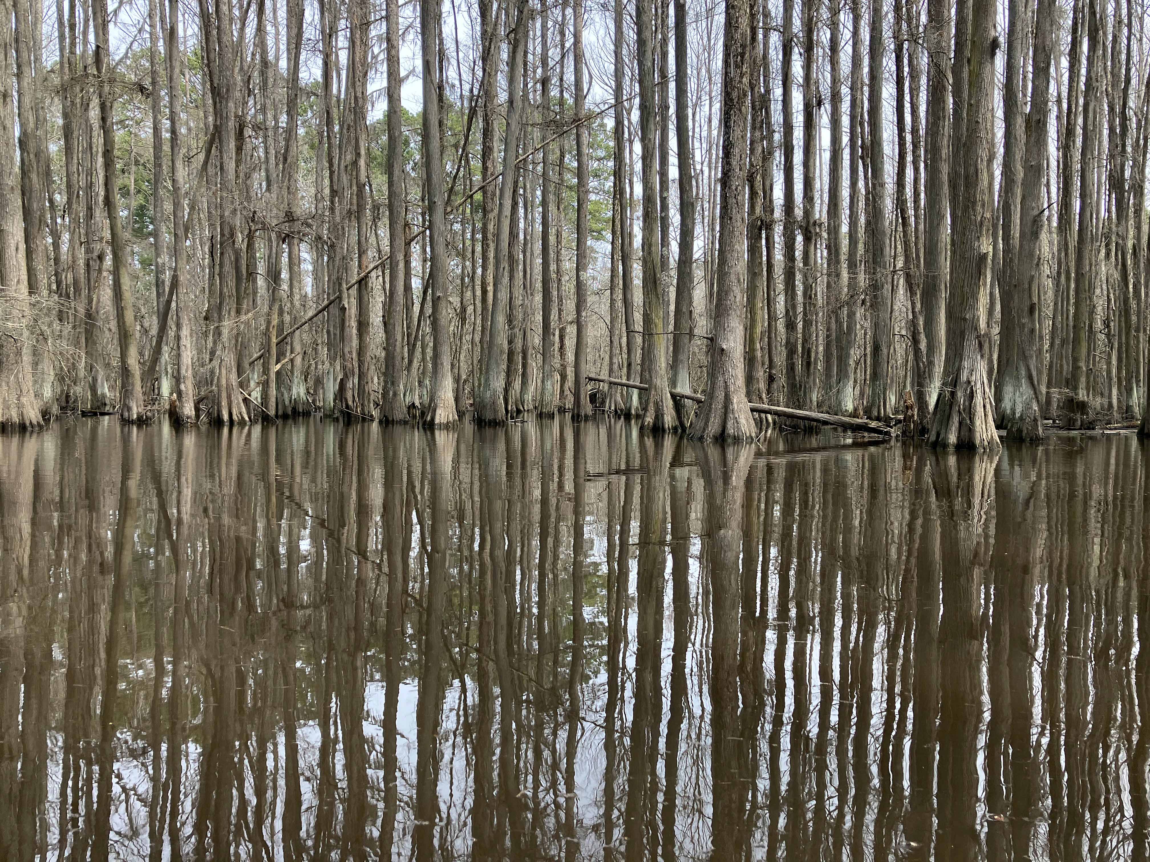
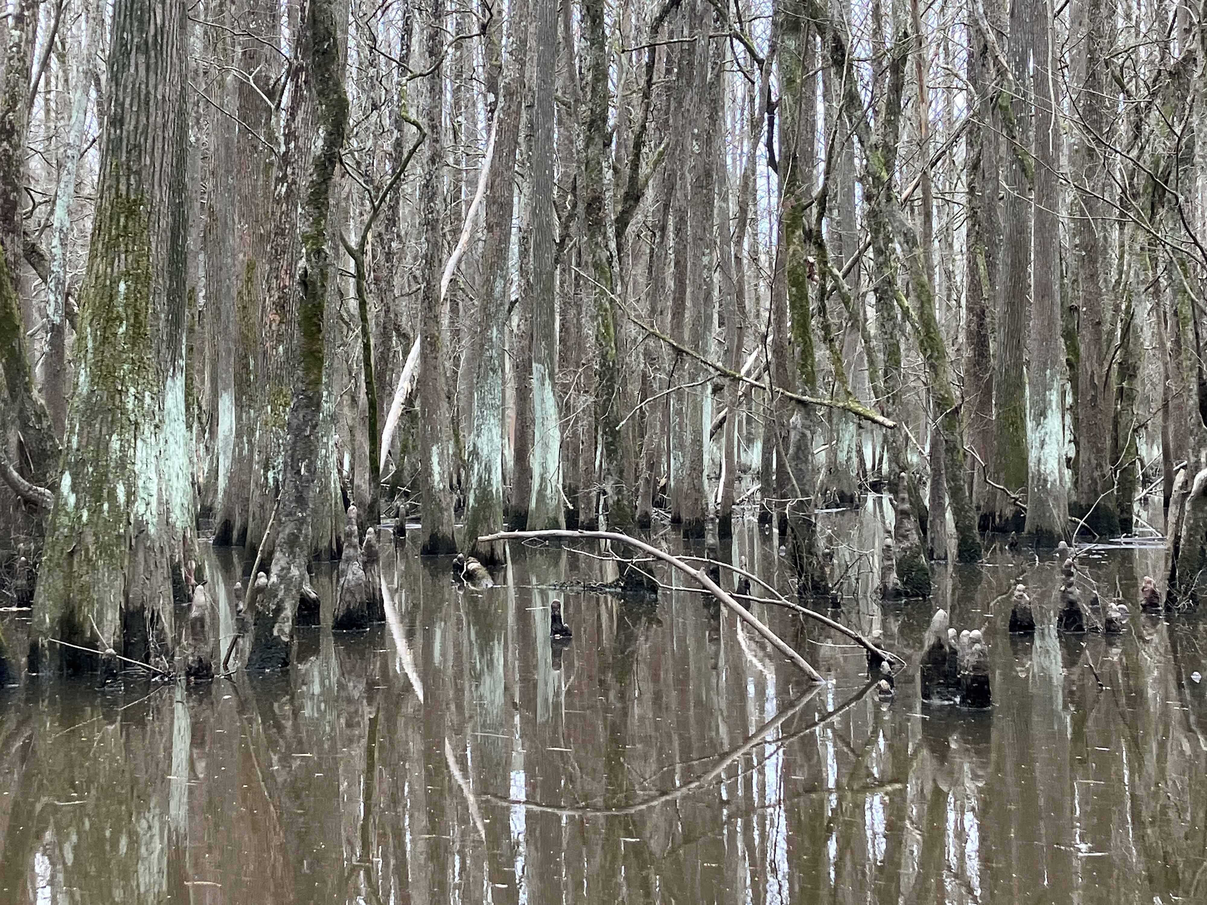
The point of this Caddo kayak paddle trail route was to go up Kitchen Creek a ways. I had tried this once before and didn’t get too far, this time was better. The creek is dark and gets quite narrow and is a nice change from the open Carter’s Chute area. The satellite map doesn’t show the stream very clearly so some of the route is tagged as ‘approximate’. And the area marked ‘tricky’ kind of sprawls. I tried multiple dead ends at this point and had to get out and walk around in the mud and muck for about half an hour before I eventually found the Kitchen Creek channel again to continue upstream. The turnaround point, google-pinned on the map, was where I started to worry about the amount of daylight left that would be needed to return to the 805 put-in.
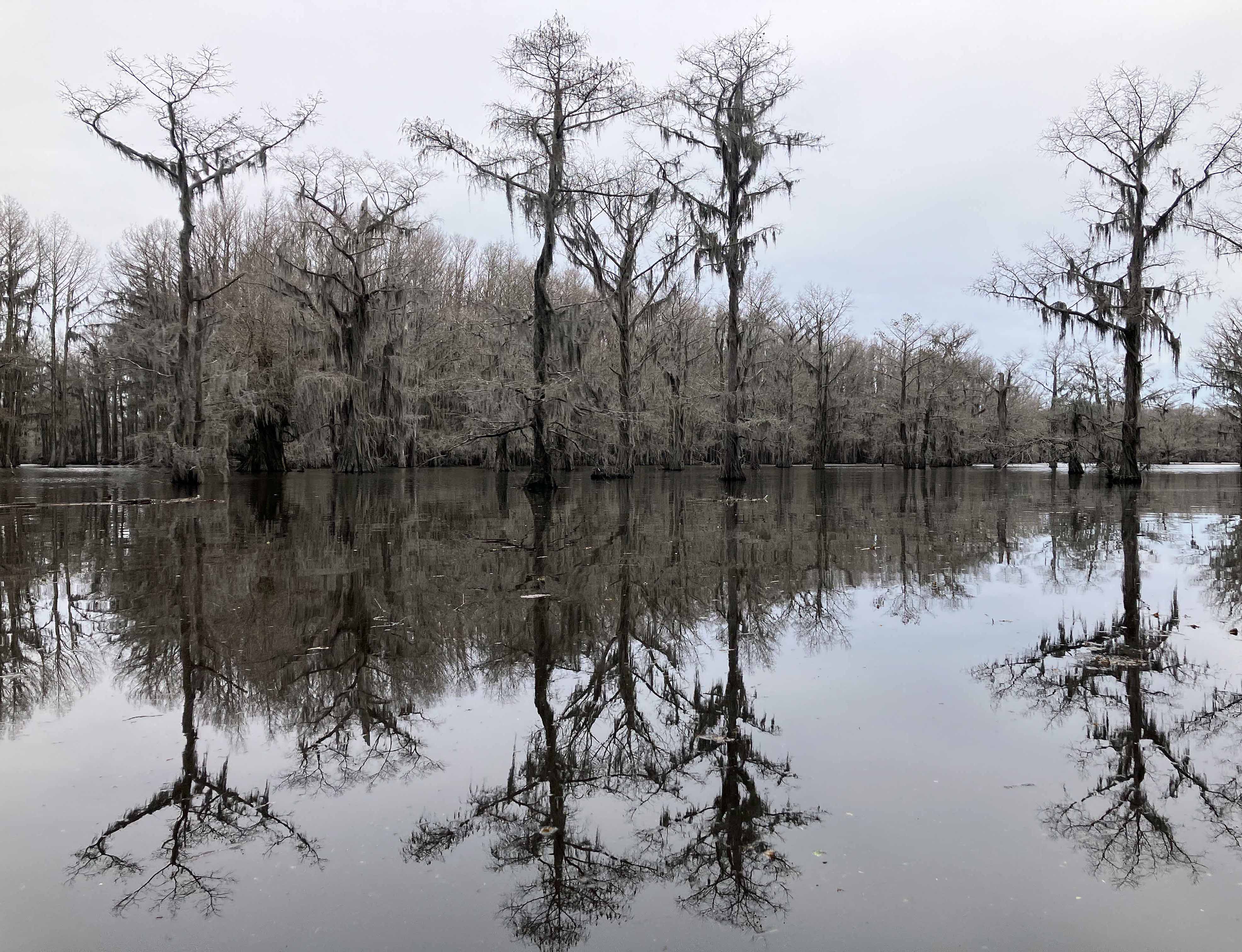
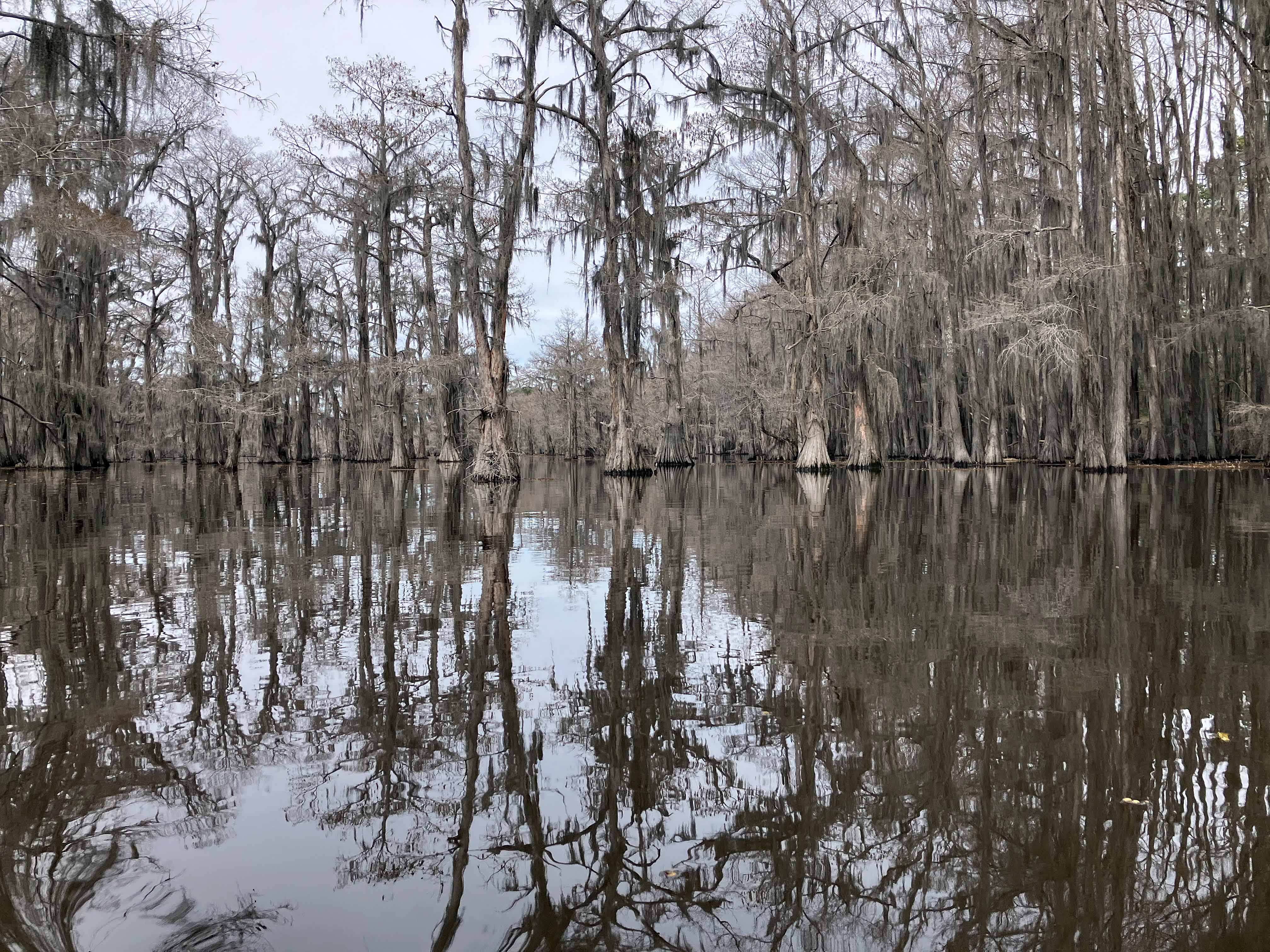
Above: Silent winter Caddo.
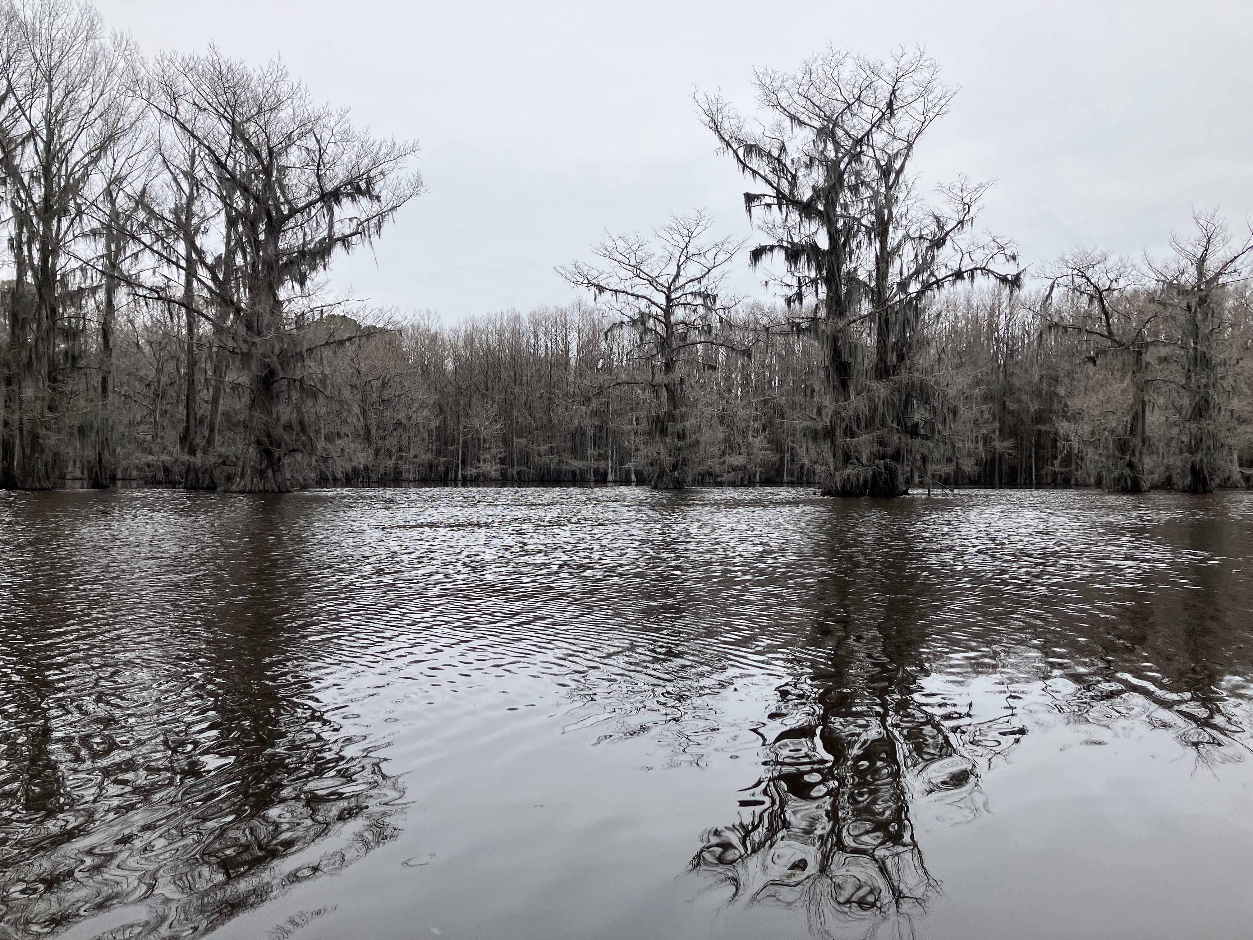
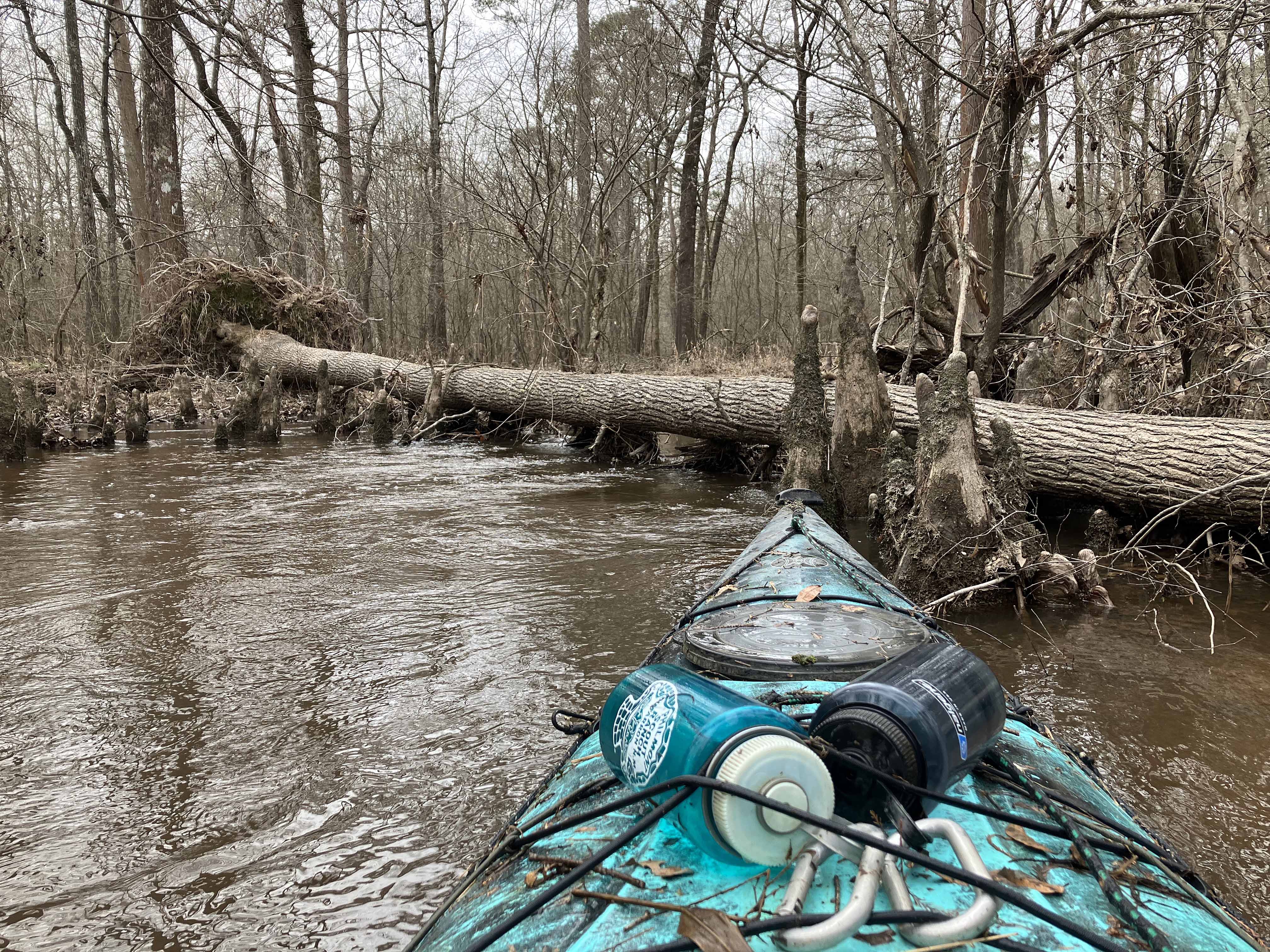
Above: Some work to do in order to keep going.
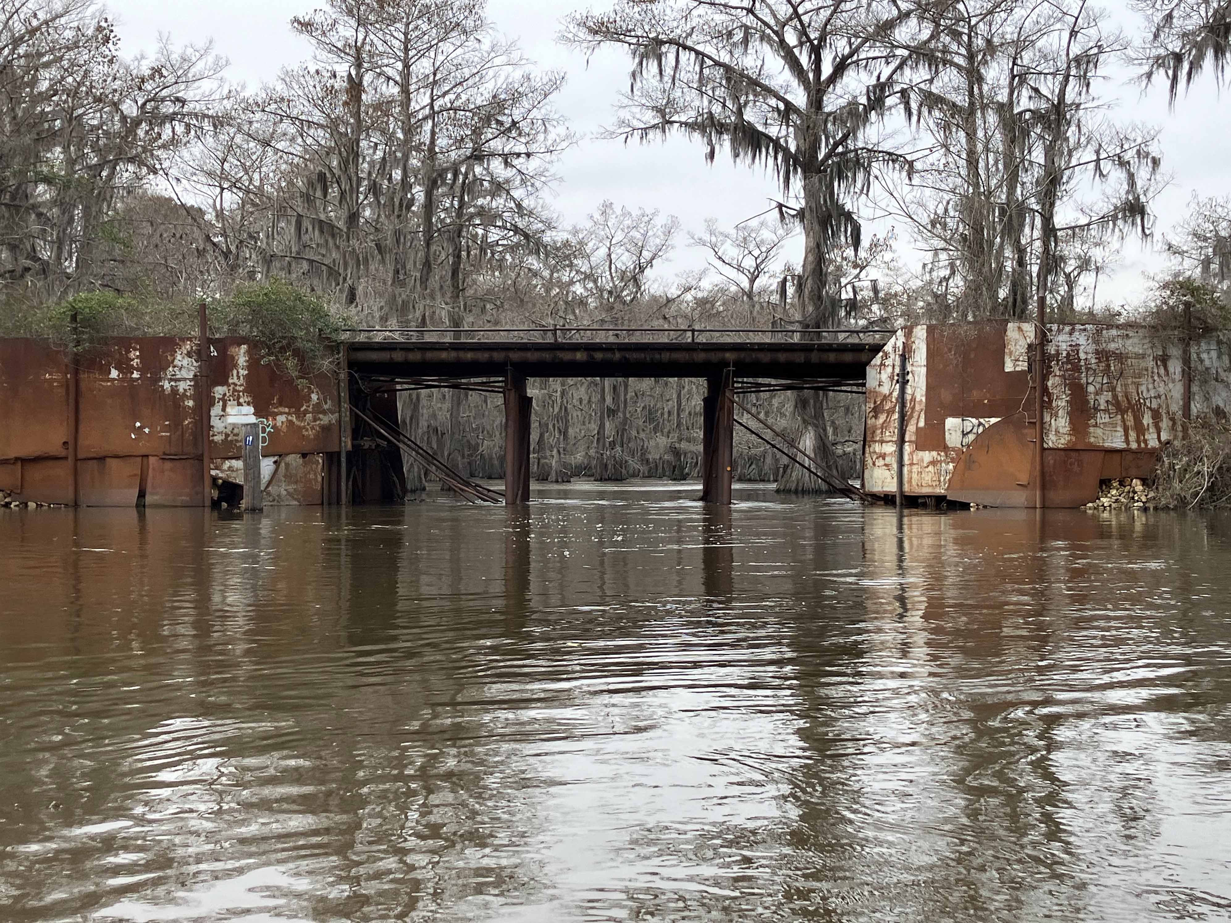
Above: Bridge crossing Carter’s Chute.
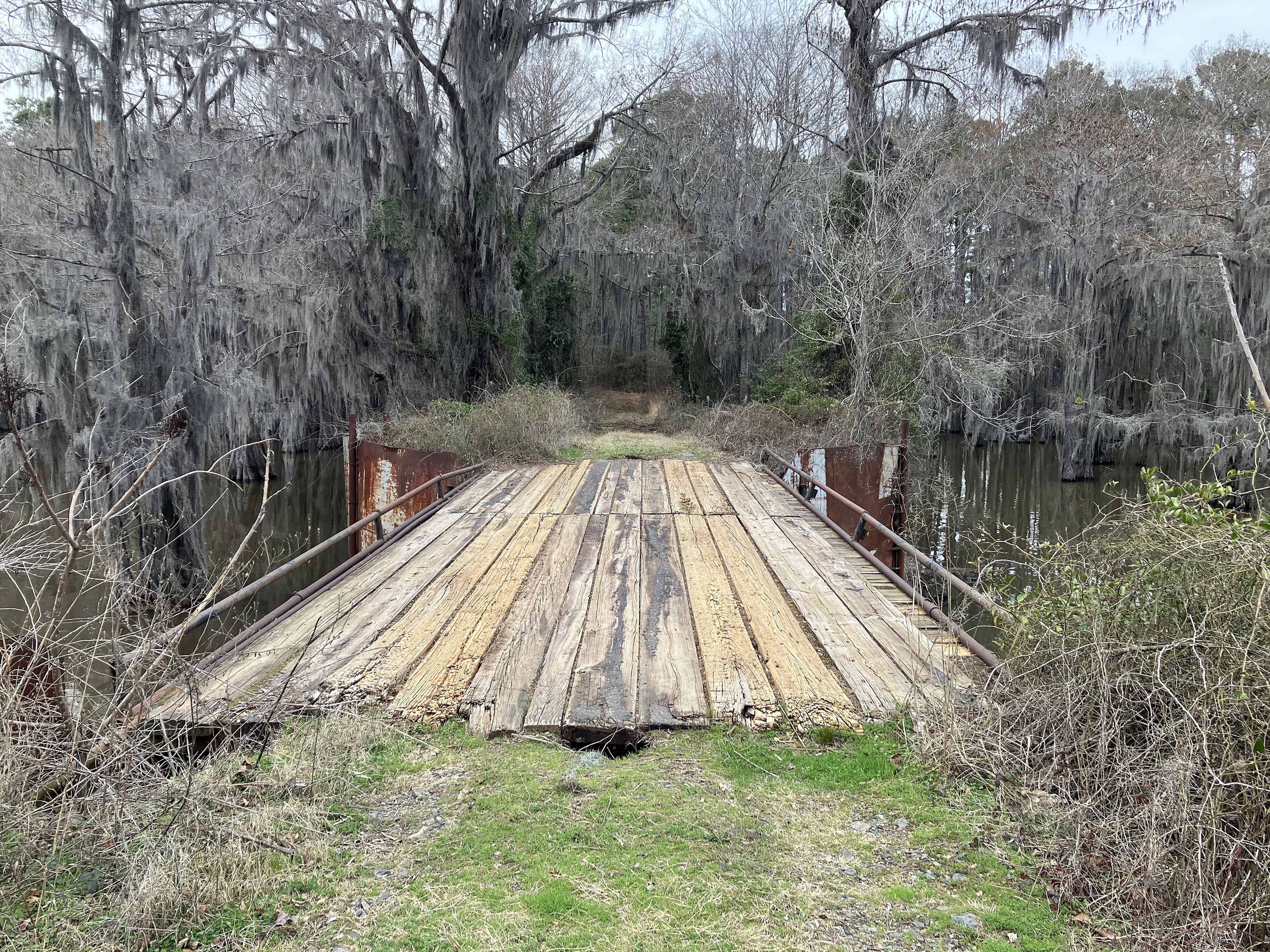
Above: Top of the bridge that crosses Carter’s Chute.