Corney Bayou, Hwy 550

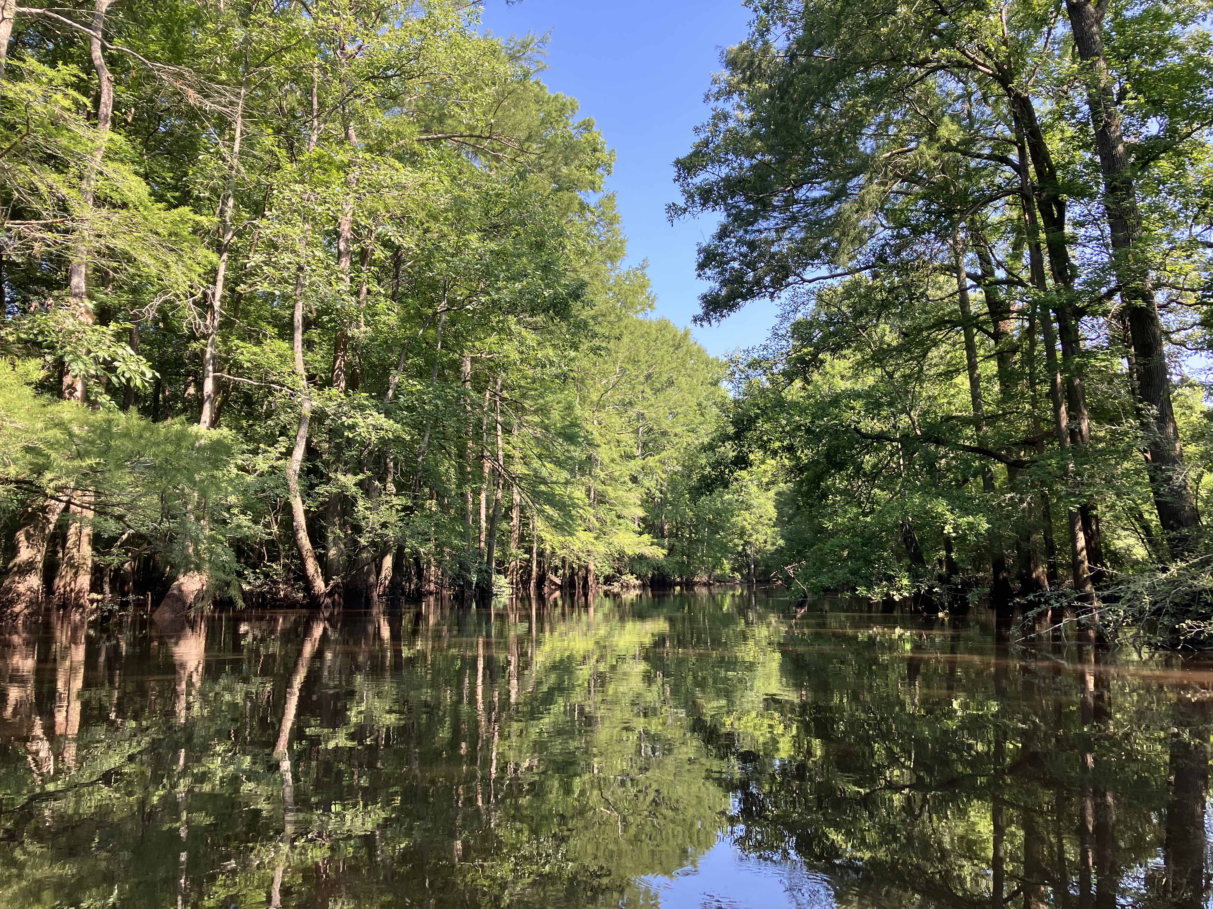
Corney Bayou flows into Lake D’Arbonne from the northwest, not far from Monroe, Louisiana. An excellent place to access the Bayou is the Highway 550 crossing. From there you can paddle upstream to whatever turnaround suits, and head back to 550. Upon launching you are immediately in a fantastic cypress swamp and, for the first mile or so it sprawls through the woods, the channel indefinite. The route in the above map goes fairly far upstream, past the Barnes Bridge Road (which no longer crosses but can be a put-in), past another old railroad bridge, and up to Highway 167. It was a long out and back, I was glad to come around the last turn and see the Highway 167 turnaround. There was actually a fair bit of current in the bayou to paddle against on the way up, and while that is more work, the flow can help determine which channel to take in places where you might go this way, might go that way. So it helps navigation. But as I paddled back downstream the flow shut off. And a couple miles from the 550 launch, there was nothing, the bayou was totally still. And so some muddy backtracking and boat pulling was needed to figure things out. It wasn’t that you would get lost, the general direction is clear, but with no flow it wasn’t so easy to pick which was the continuous main channel. Having to paddle against the current one way and having it die out coming back is a bit of a drag. A similar thing happens with wind sometimes, you paddle against the wind going out and, somehow, unfairly, you paddle against it coming back. This is one pretty bayou, especially at the 550 launch, and one of the nicer places to paddle in the Monroe area.
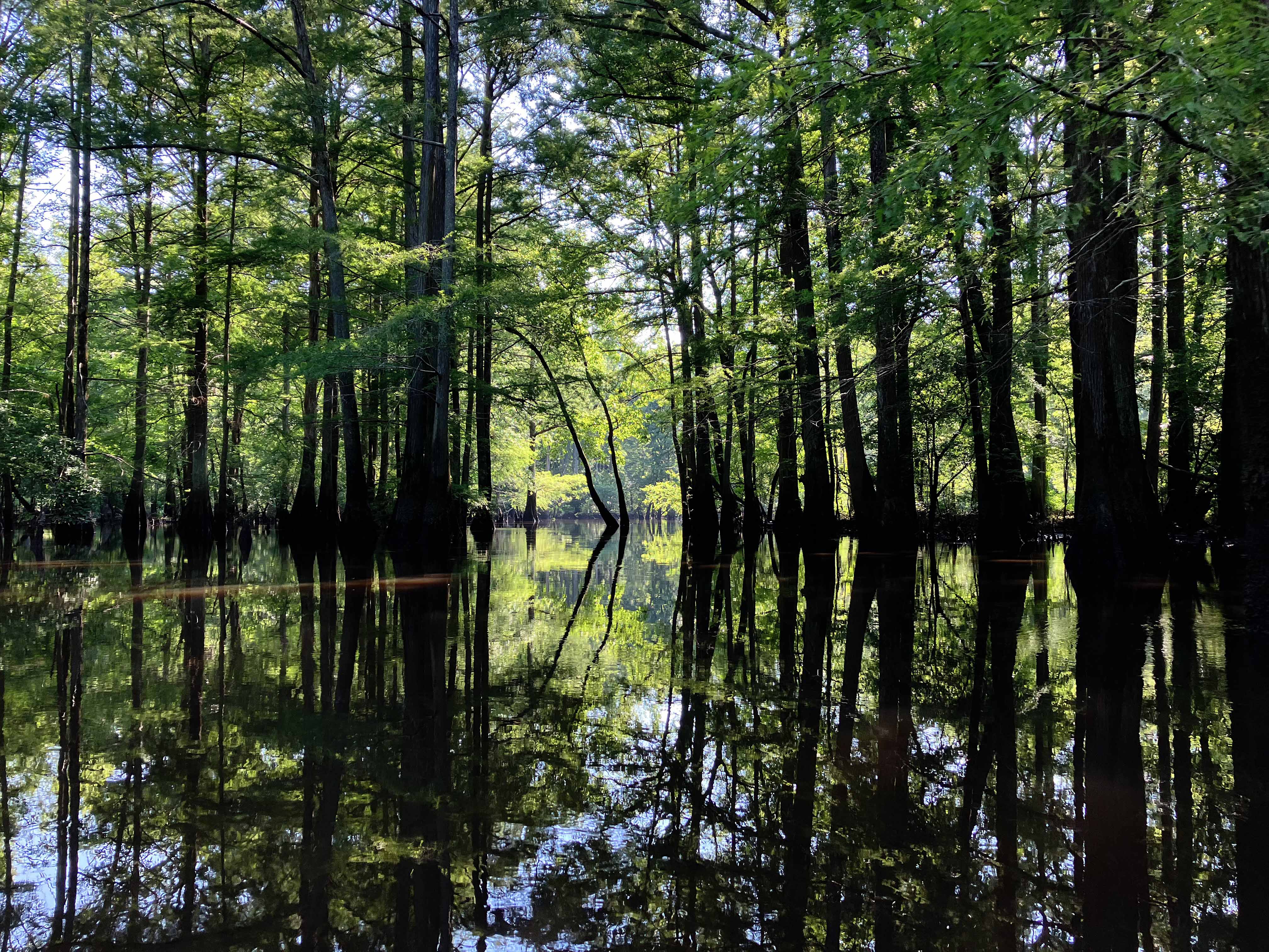
Above: Wow.

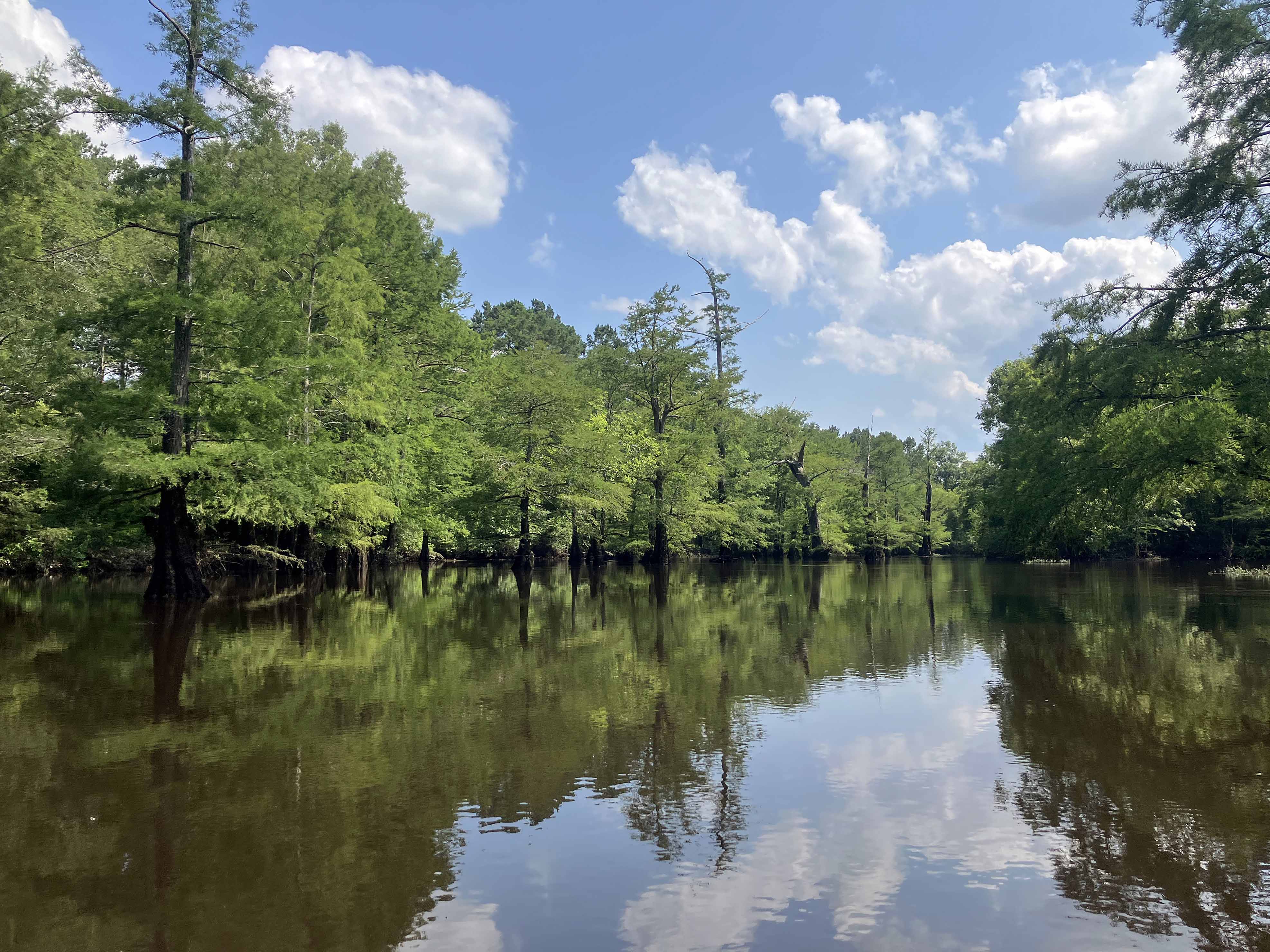
Above: At the Highway 550 put-in, about to launch.
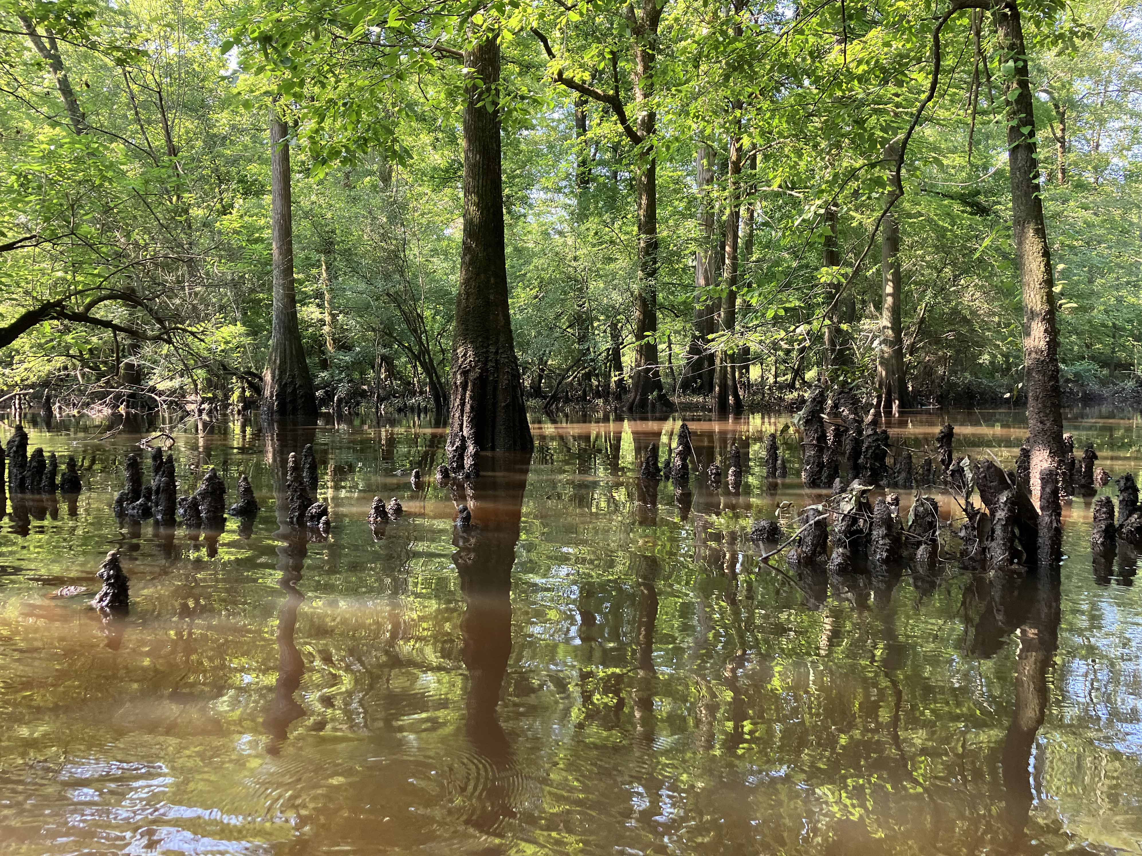
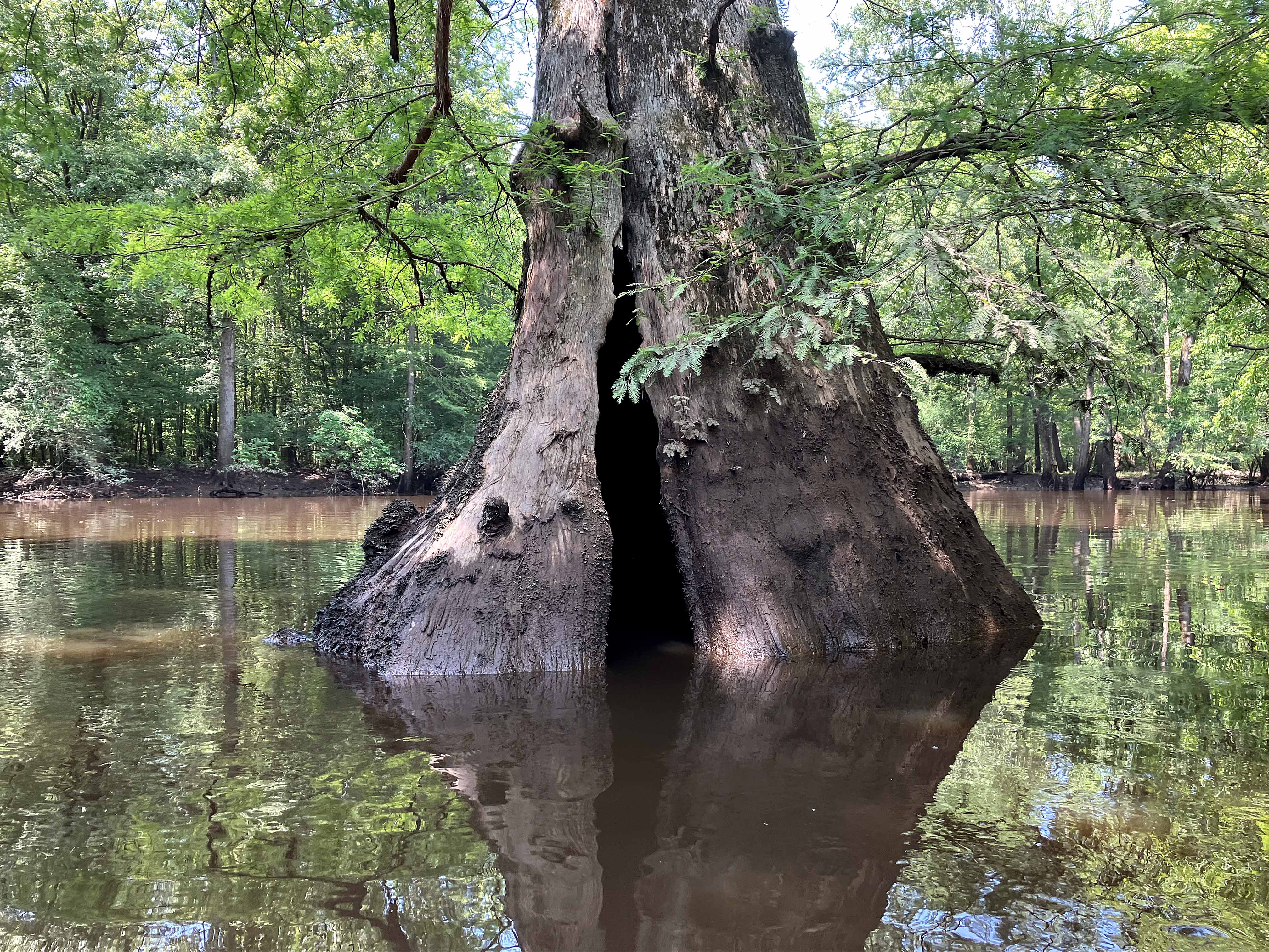
Above: Lots of cypress knees to paddle around.
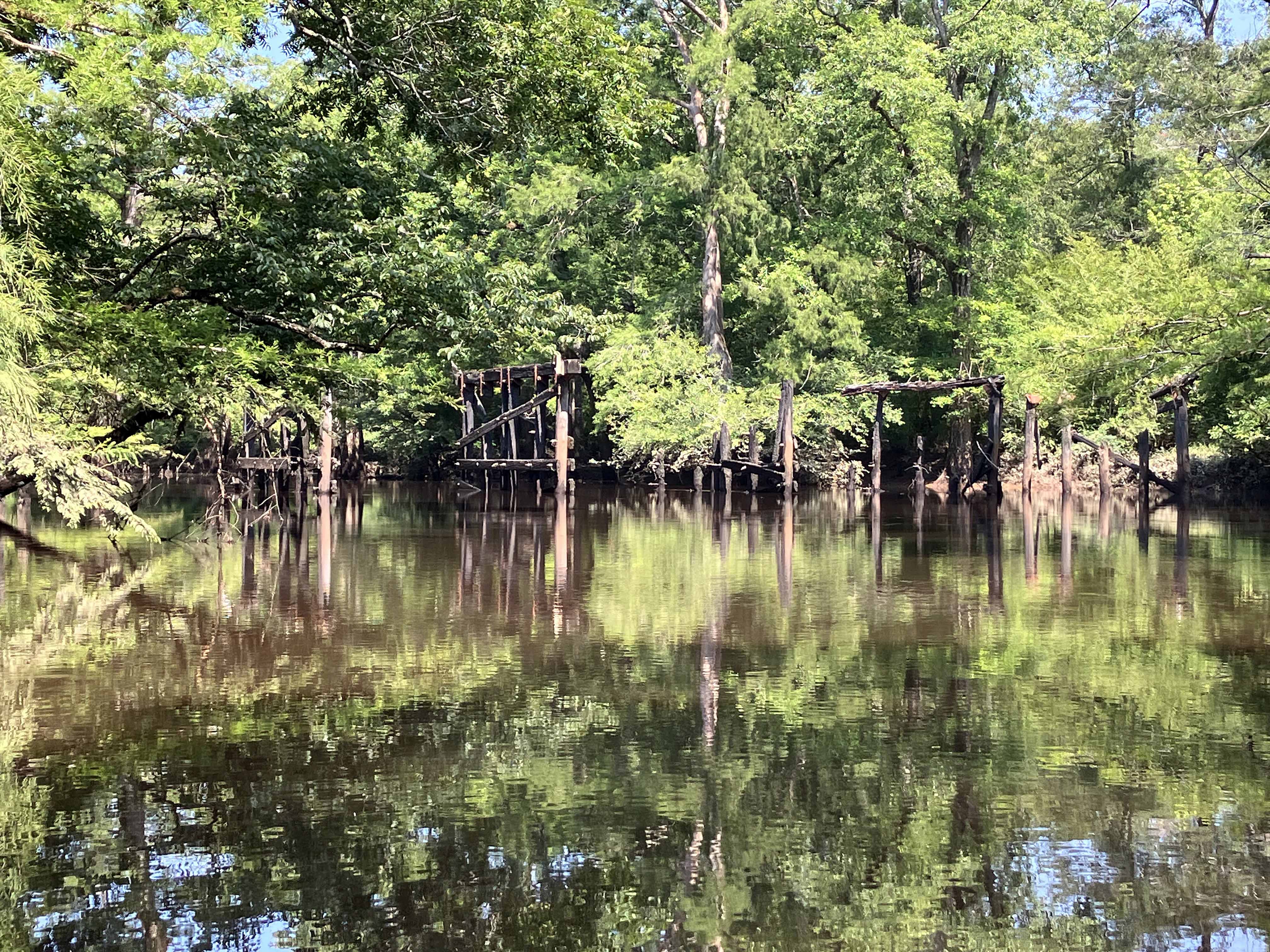
Above: Old, used to be, road crossing.
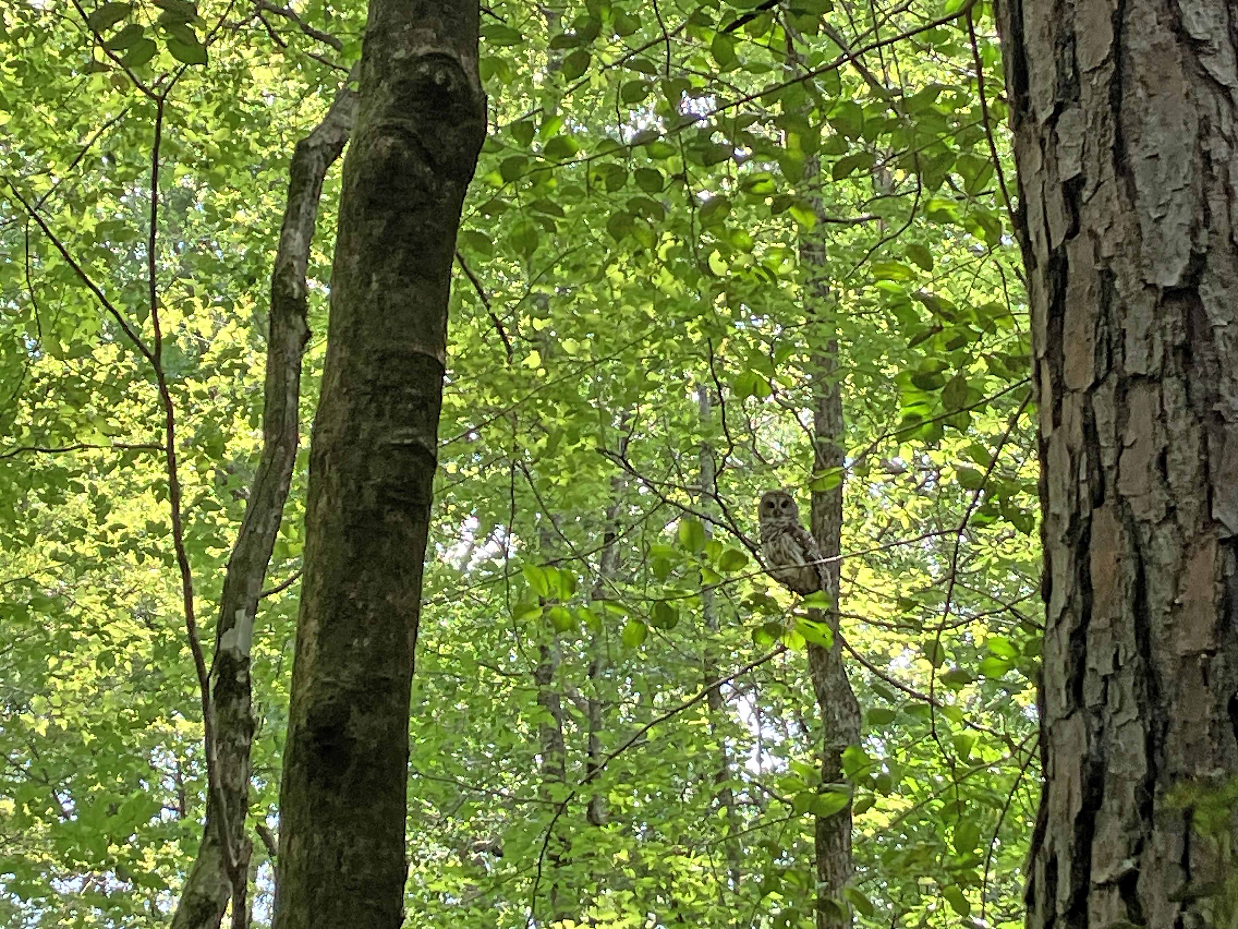
Above: An owl is watching.
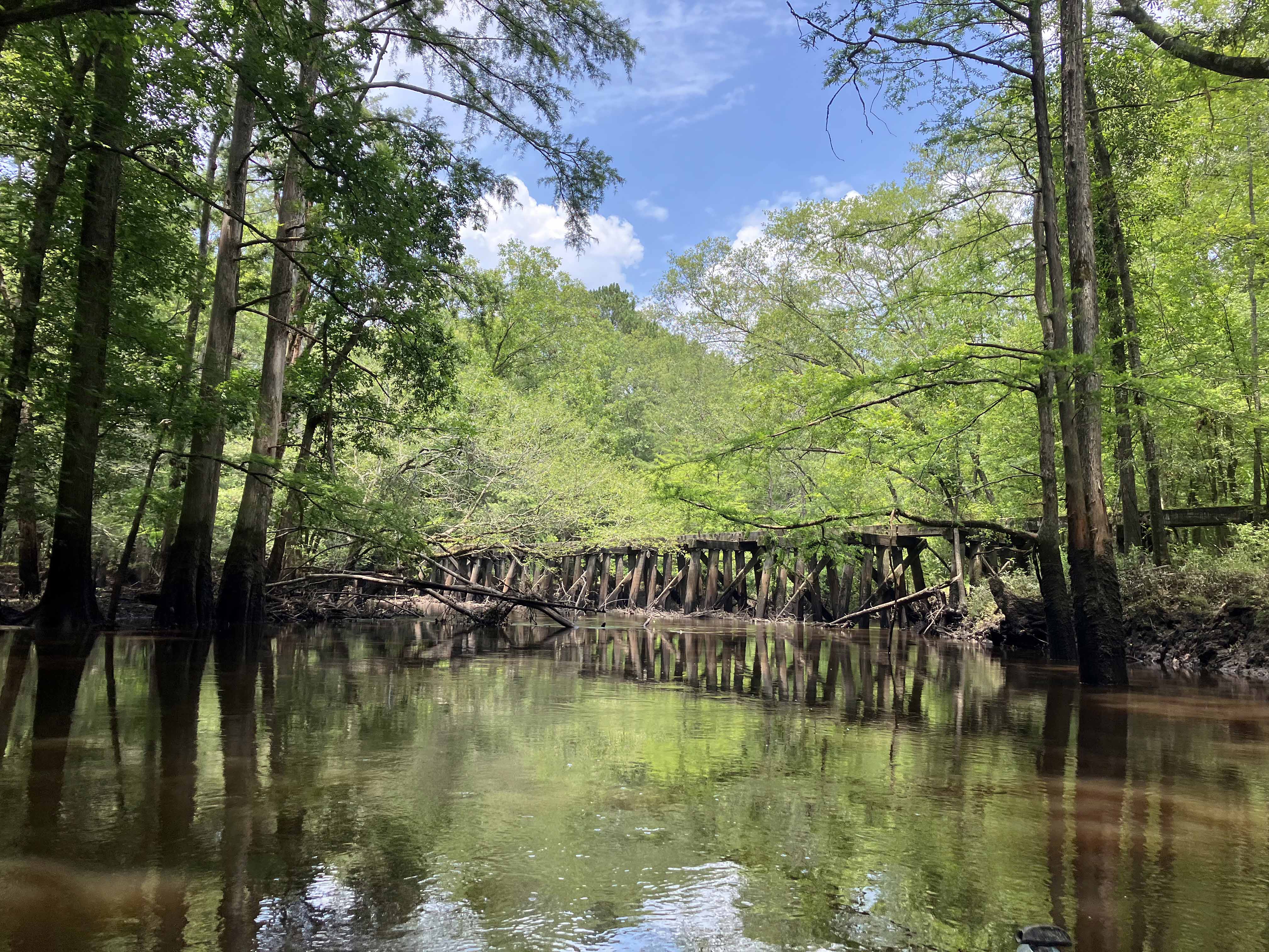
Above: Old railroad bridge far upstream.
