East Fork Trinity River, Ray Hubbard, Highway 78 Wylie
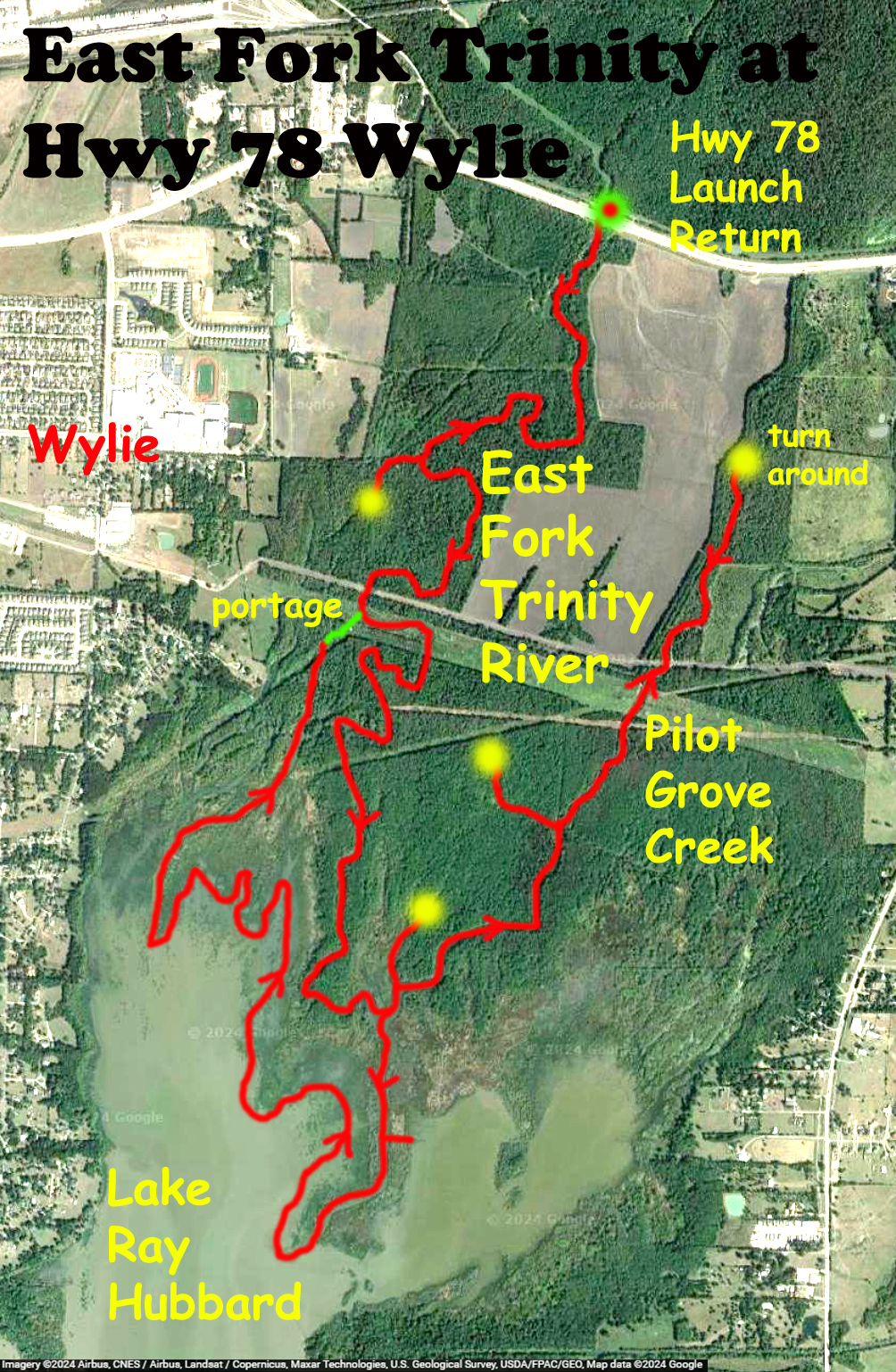
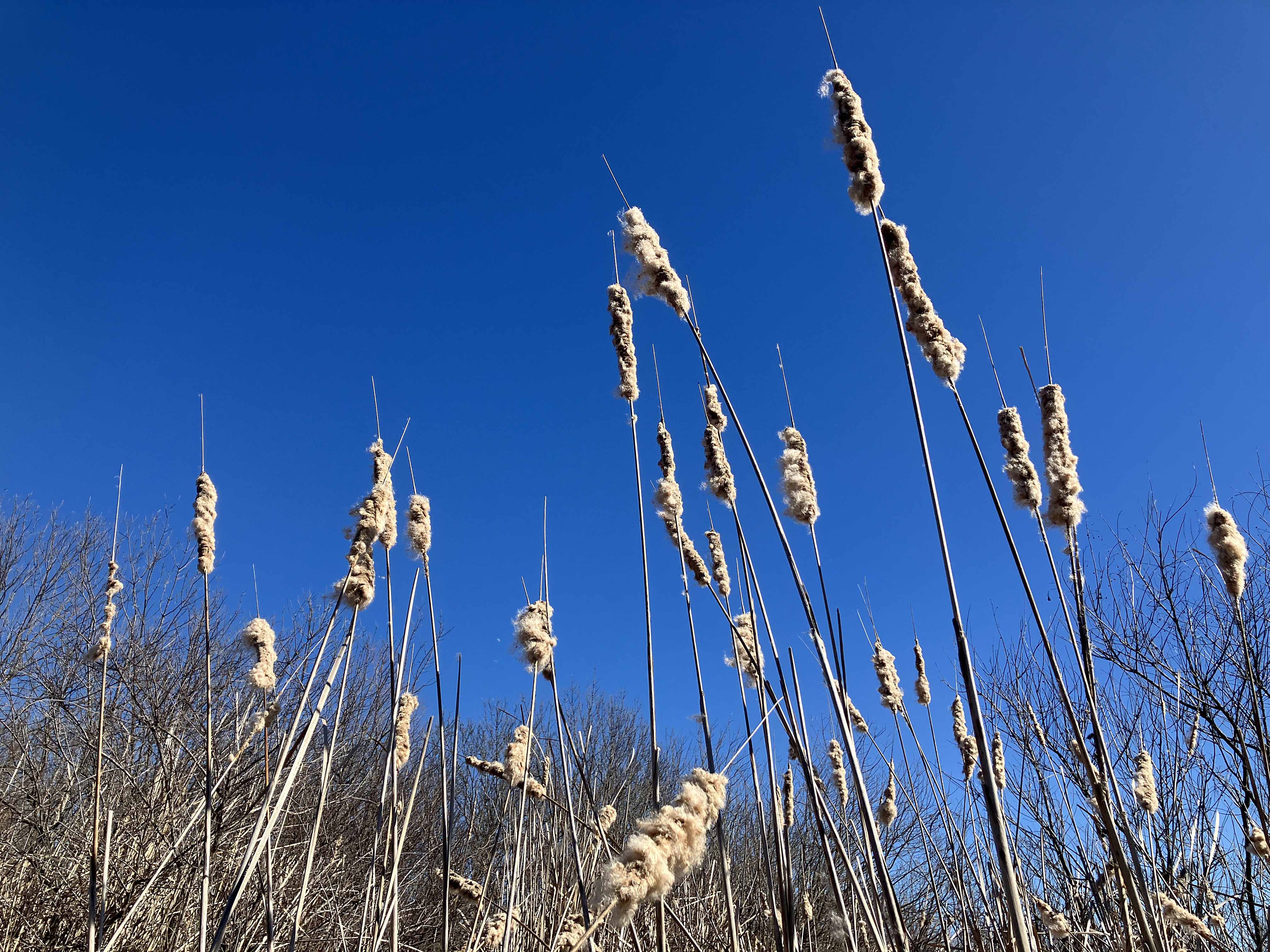
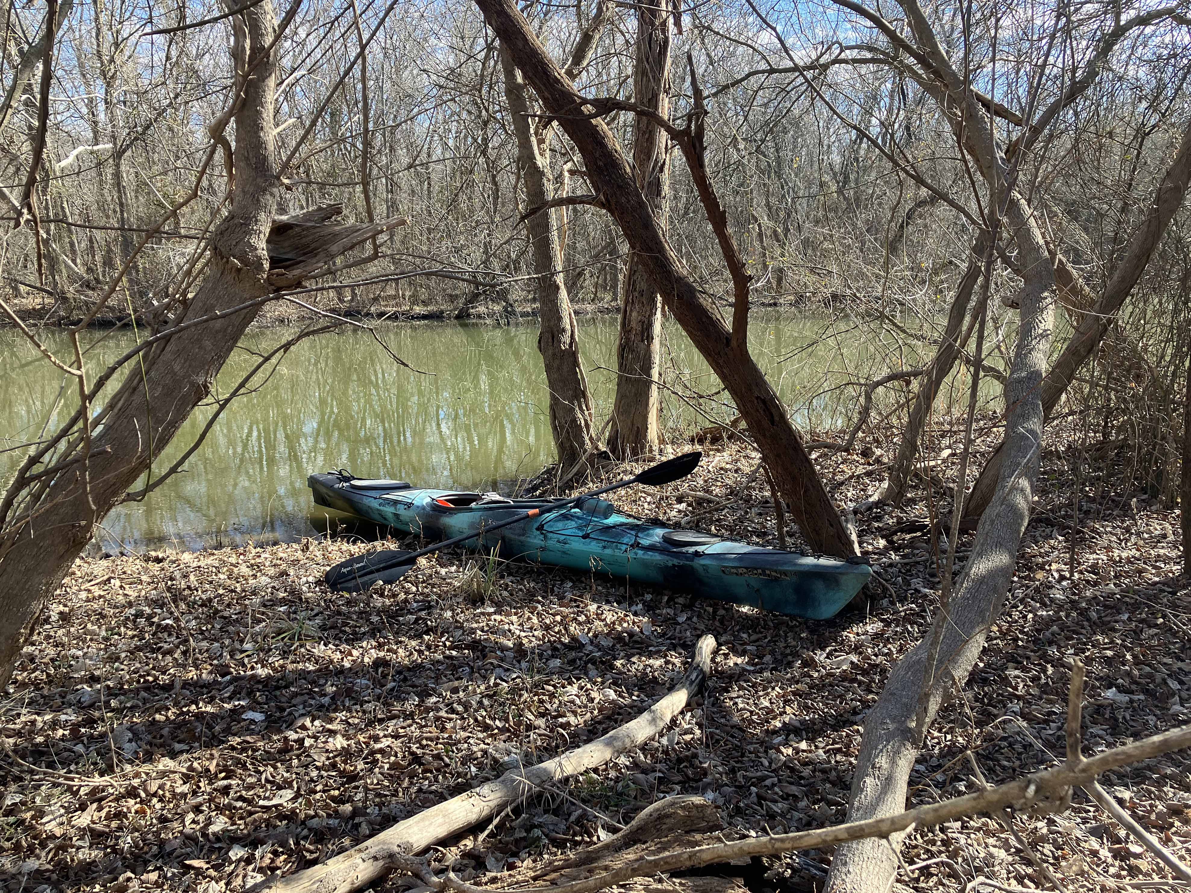
There is a nice section of the East Fork of the Trinity that runs in between Lake Lavon and Lake Ray Hubbard. The access is along Highway 78 near Wylie where it crosses the river below Lake Lavon. The launch requires you skip over the curb of the highway and drive down a short embankment to the river. I’ve had no problem but in wet weather it might be pretty slick trying to get back out. The paddle on this East Fork section is surprisingly isolated and winds back and forth in the woods until it exits out at the north end of Lake Ray Hubbard. In addition, one can also take a U-turn and head back north along what google maps labels as Pilot Grove Creek. The route is kind of approximate, and as I recall there is a tunnel somewhere. And in places the water is dark but extremely clear, very unusual. After reaching the lake, which is often windy, the route went west and north up a small channel visible on the satellite map. As this channel did not connect to the East Fork, a short portage was necessary to get back on the River in order to continue back to the launch site.
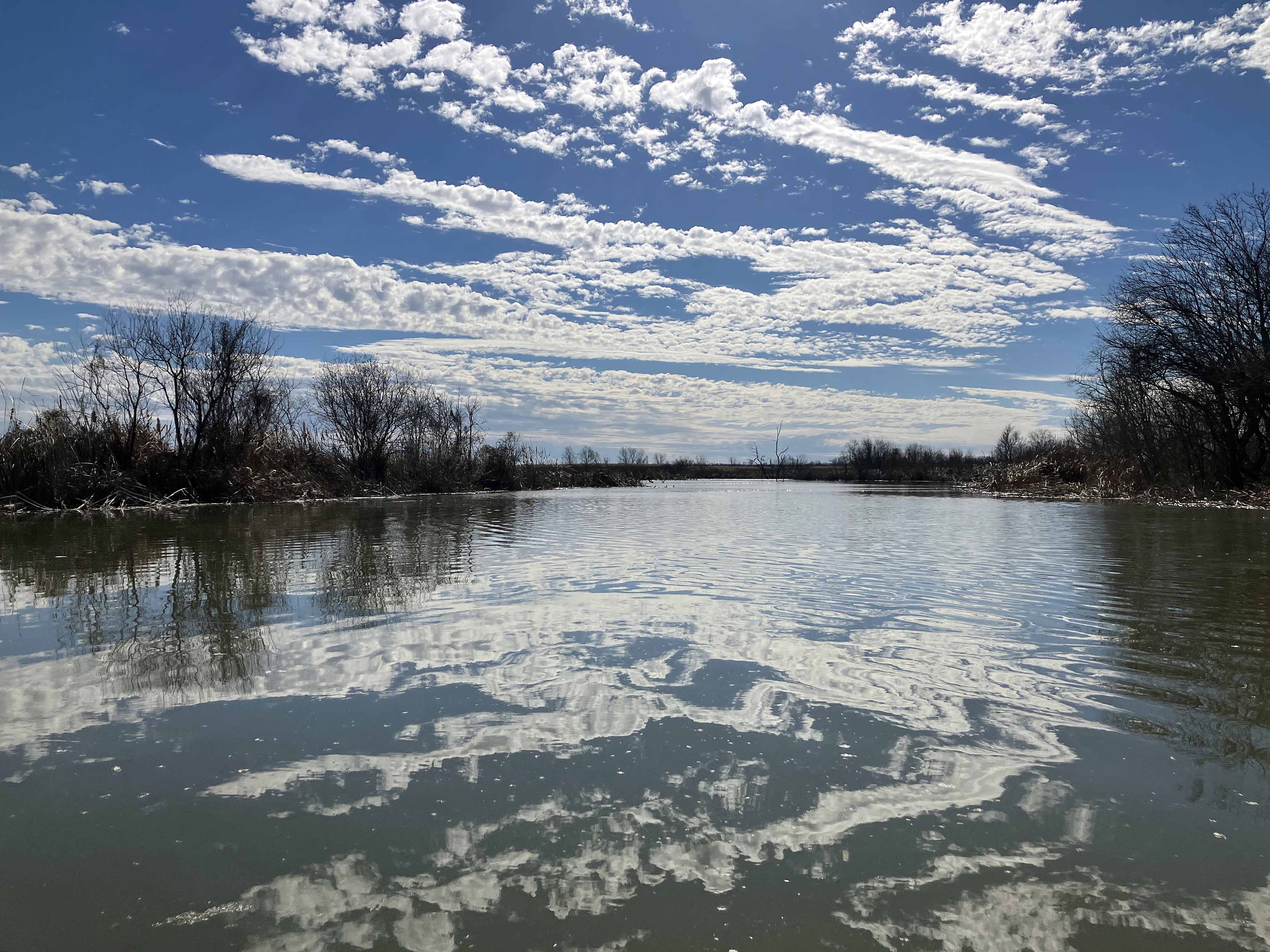
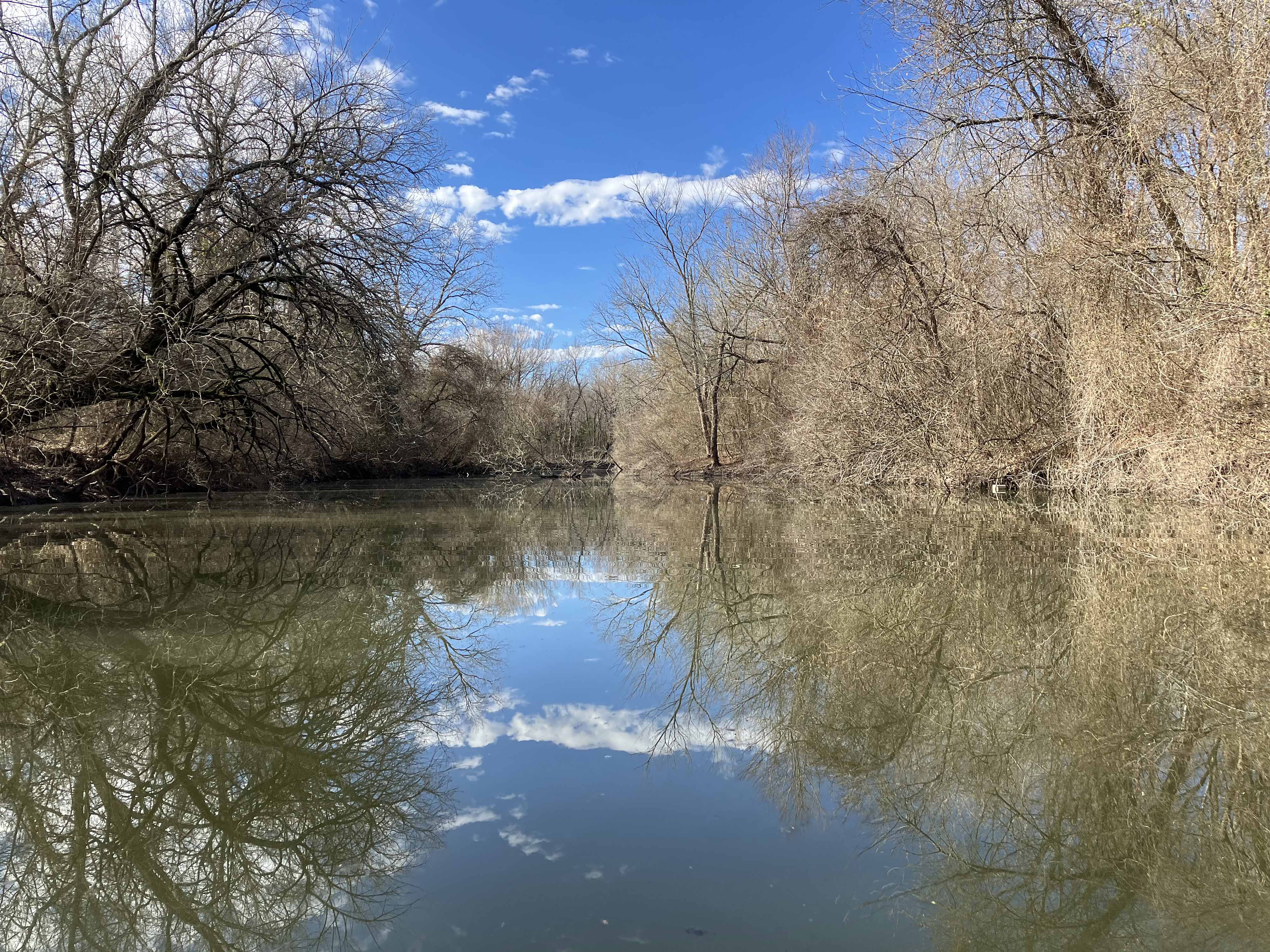
Above: Pretty sky reflection on the East Fork Trinity, just upstream of the lake.
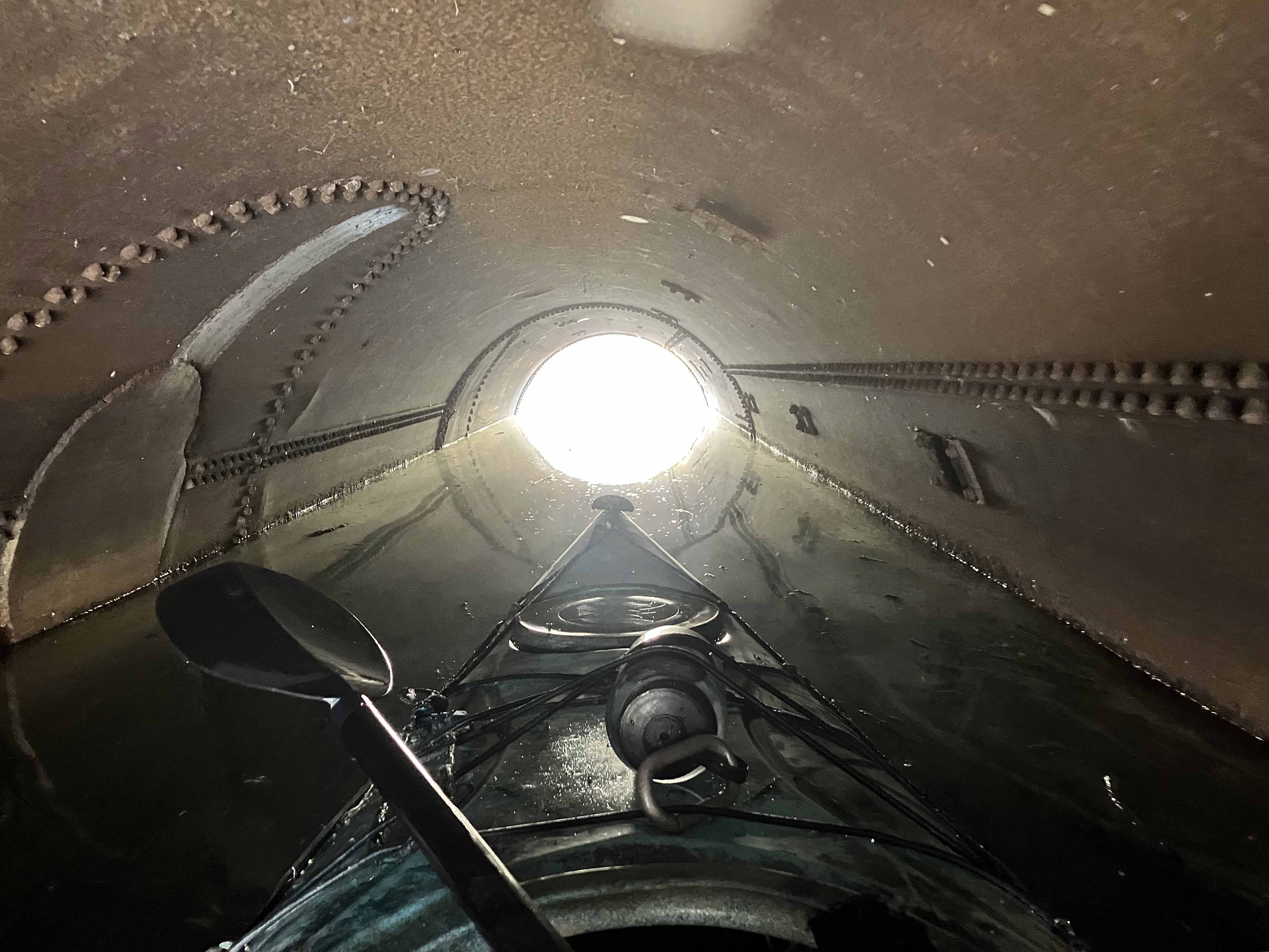
Above: Tunnel.
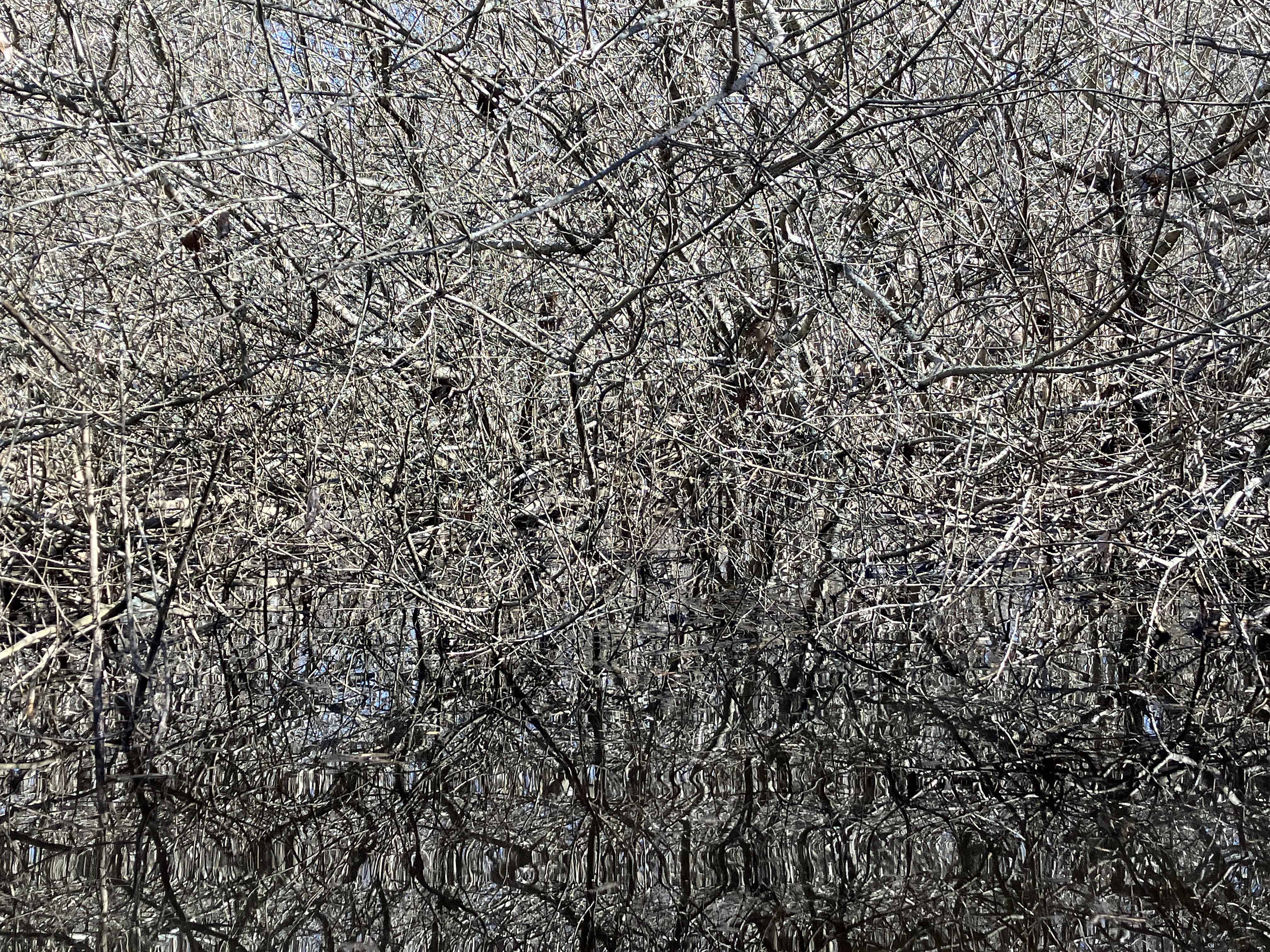
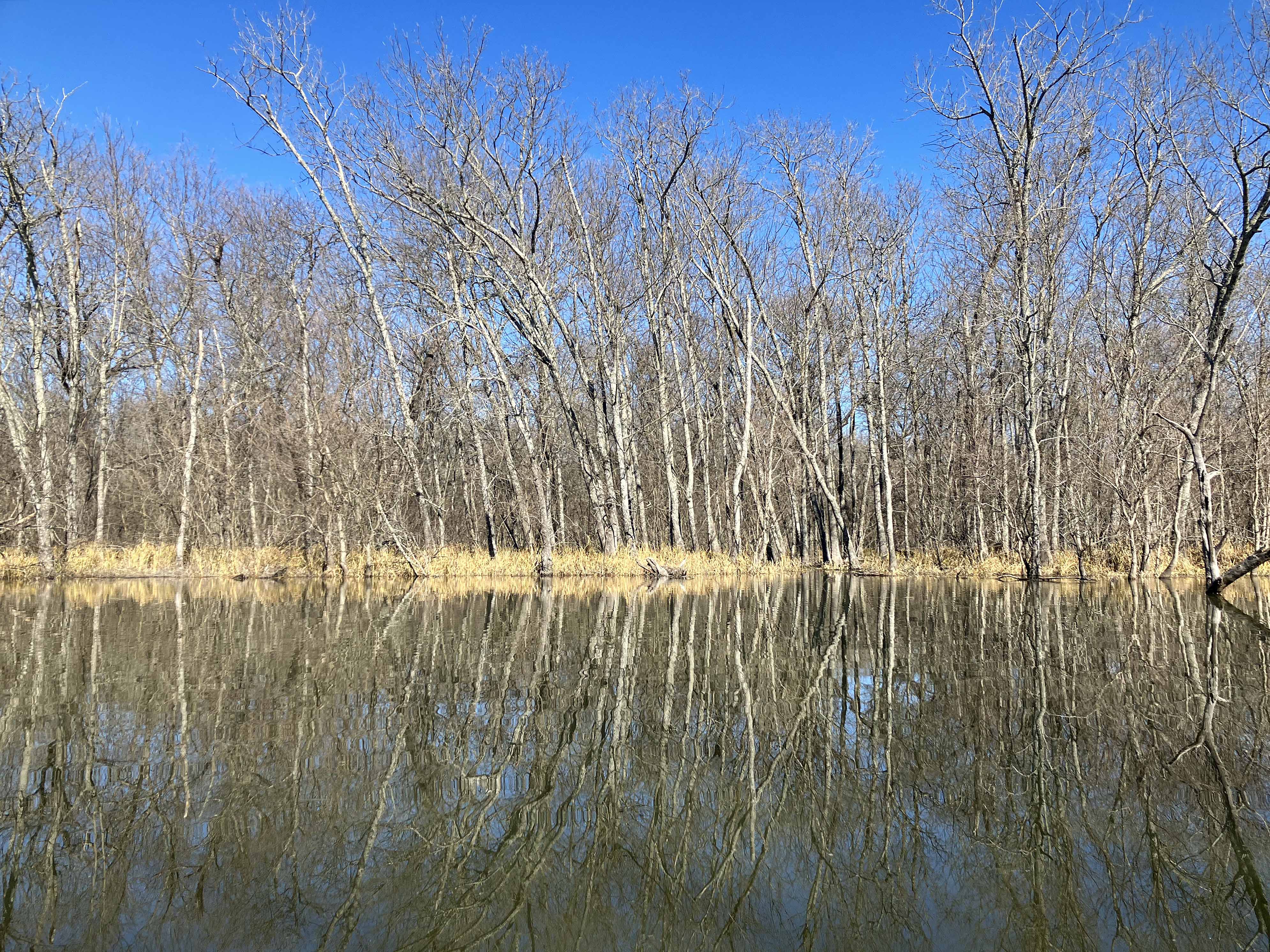
Above: Dense brush and its water reflection along Pilot Grove Creek.

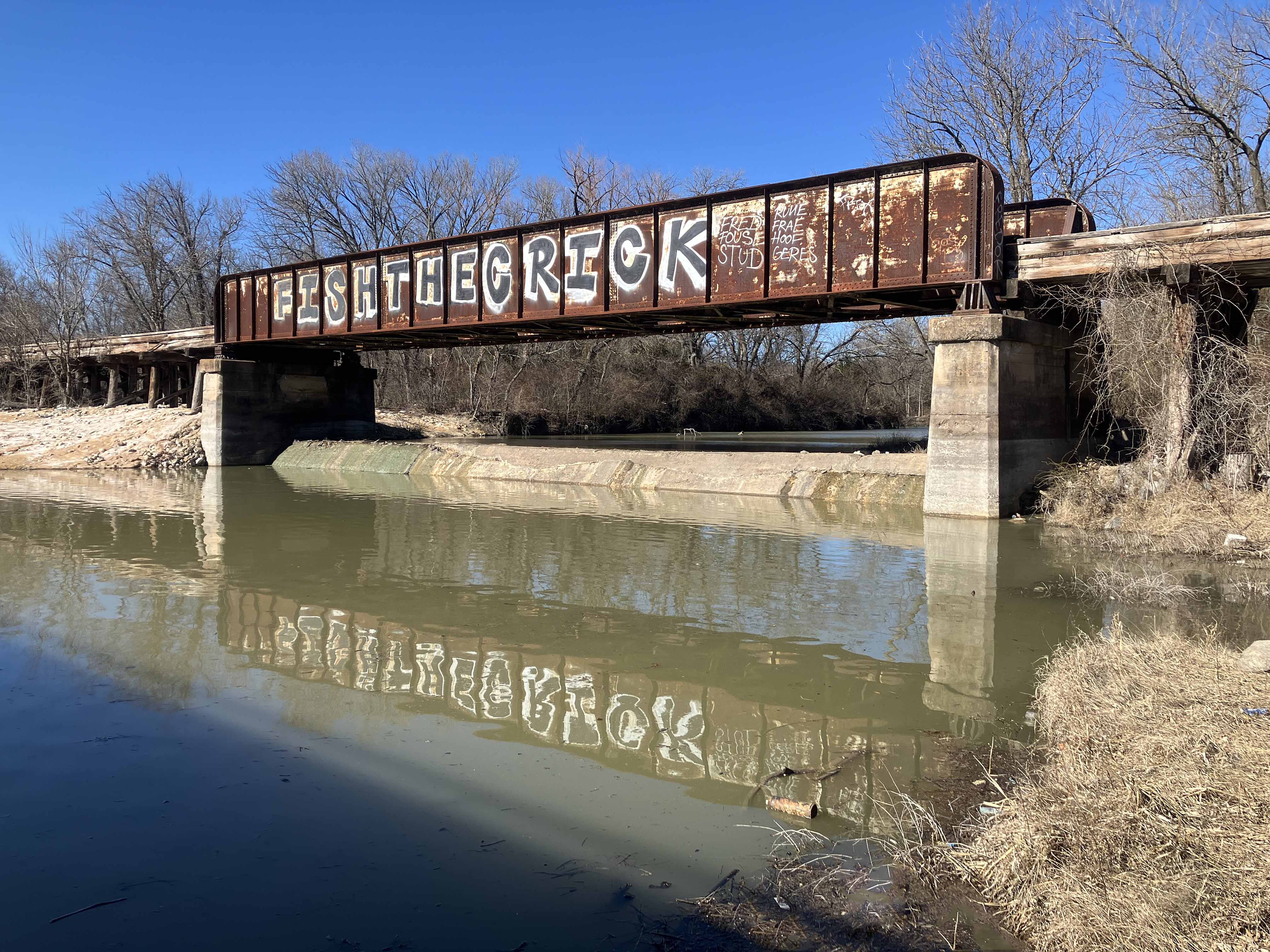
Above: Fish the Crick.
