Felsenthal NWR, Shallow Lake Ramp, Arkansas B

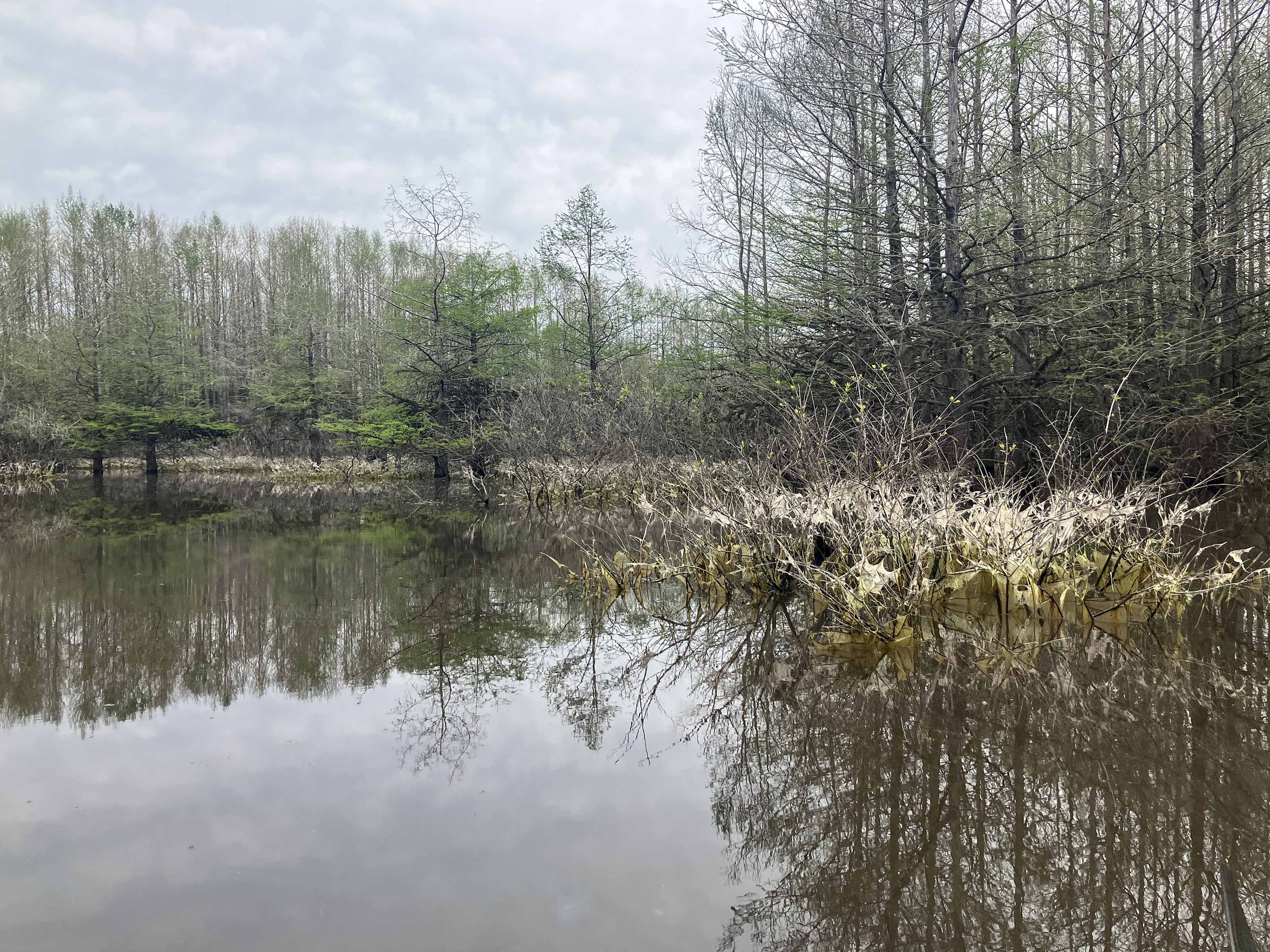
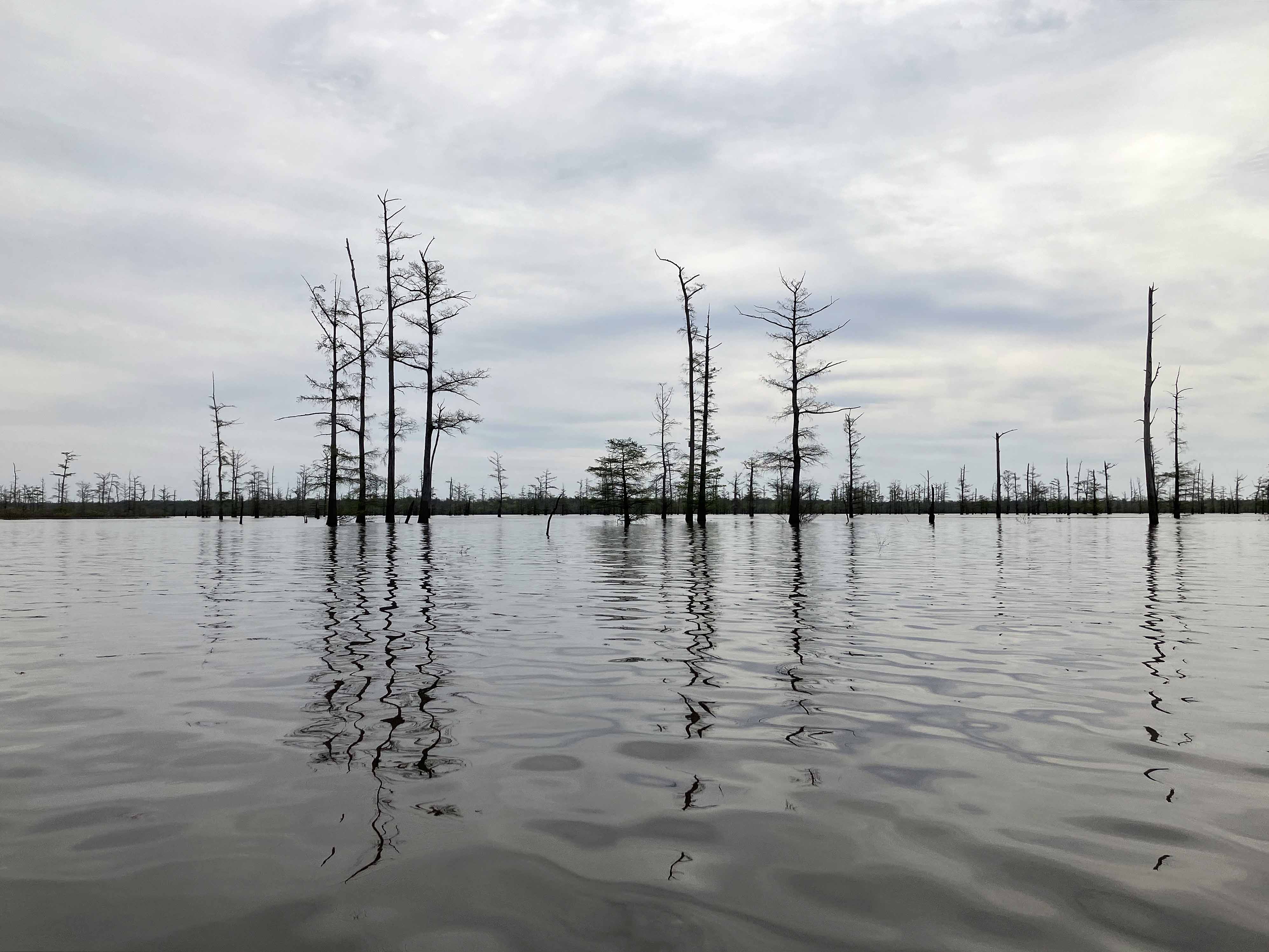
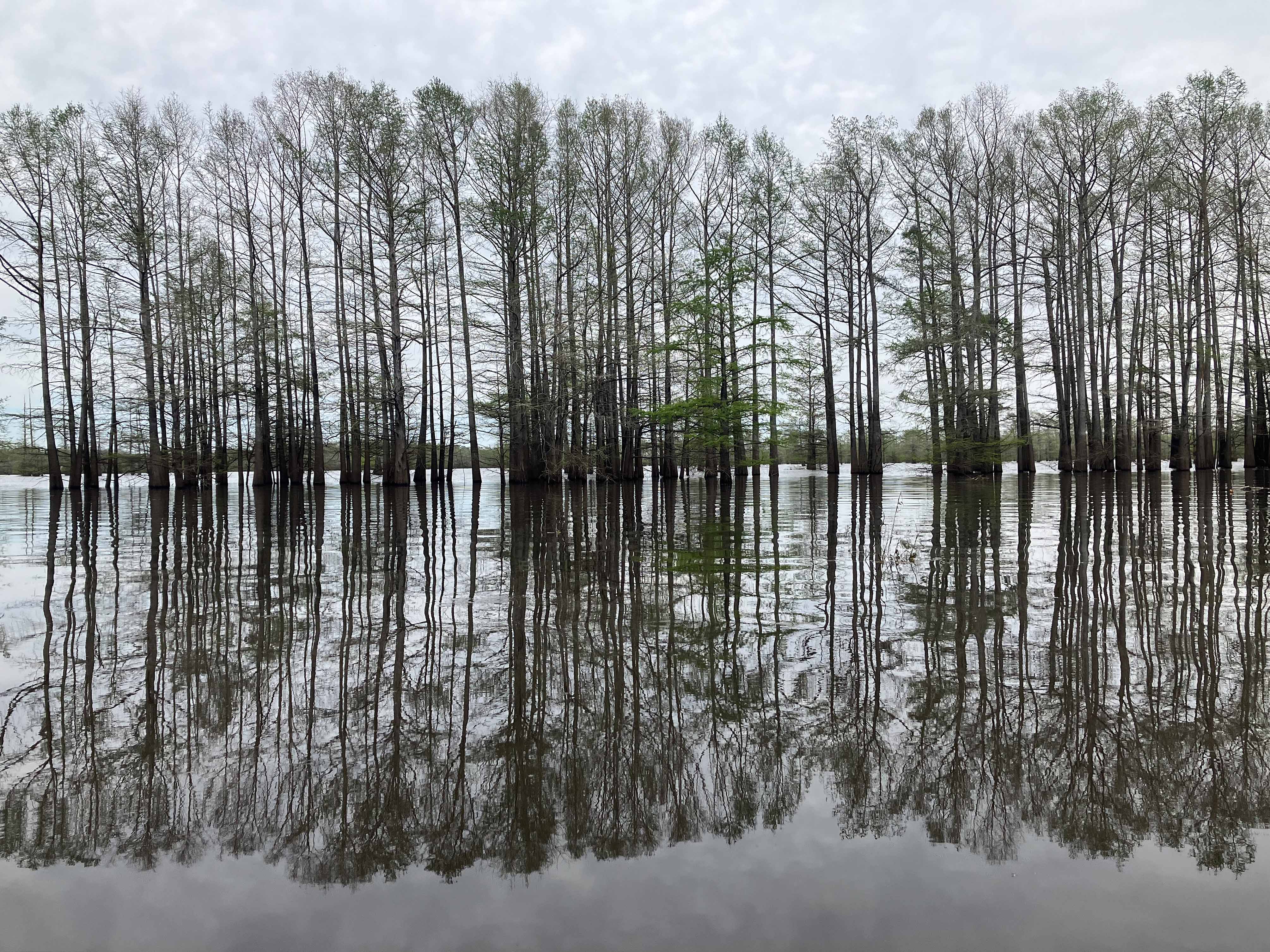
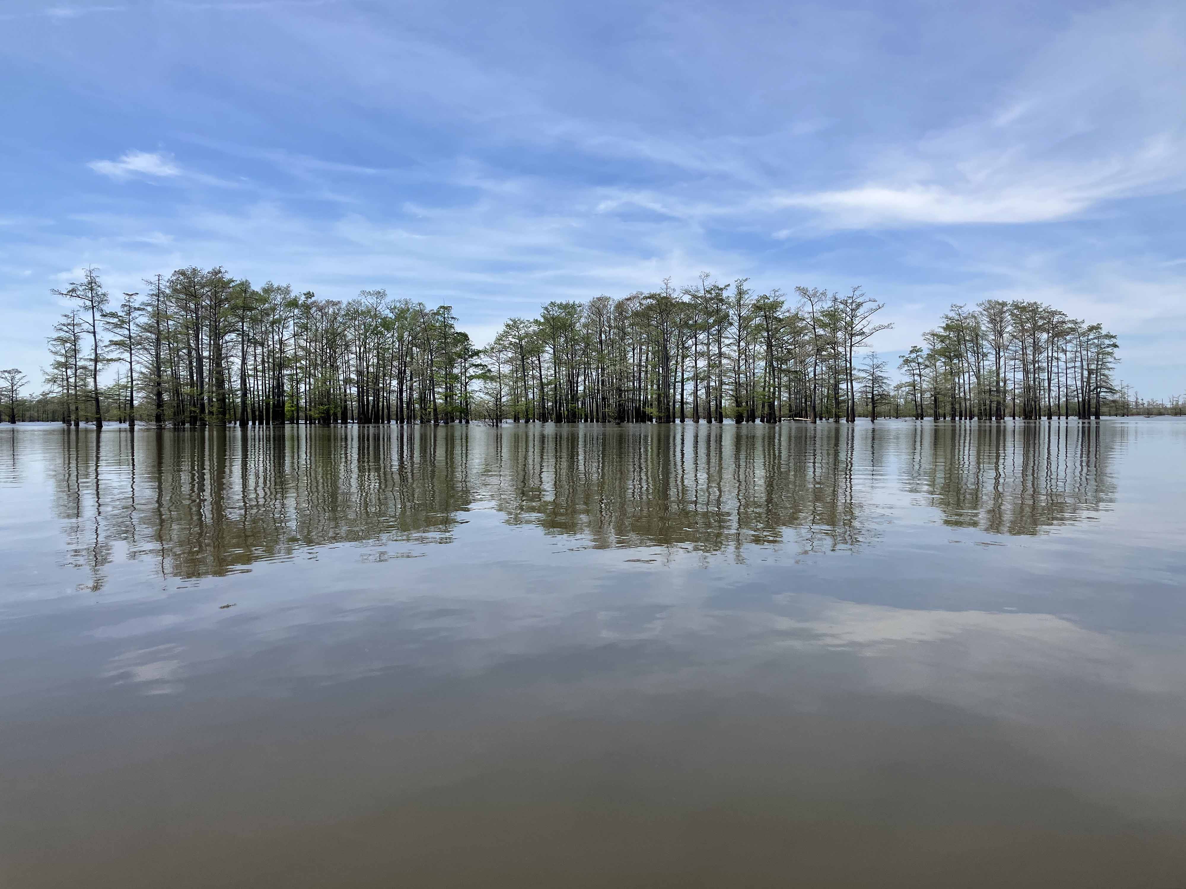
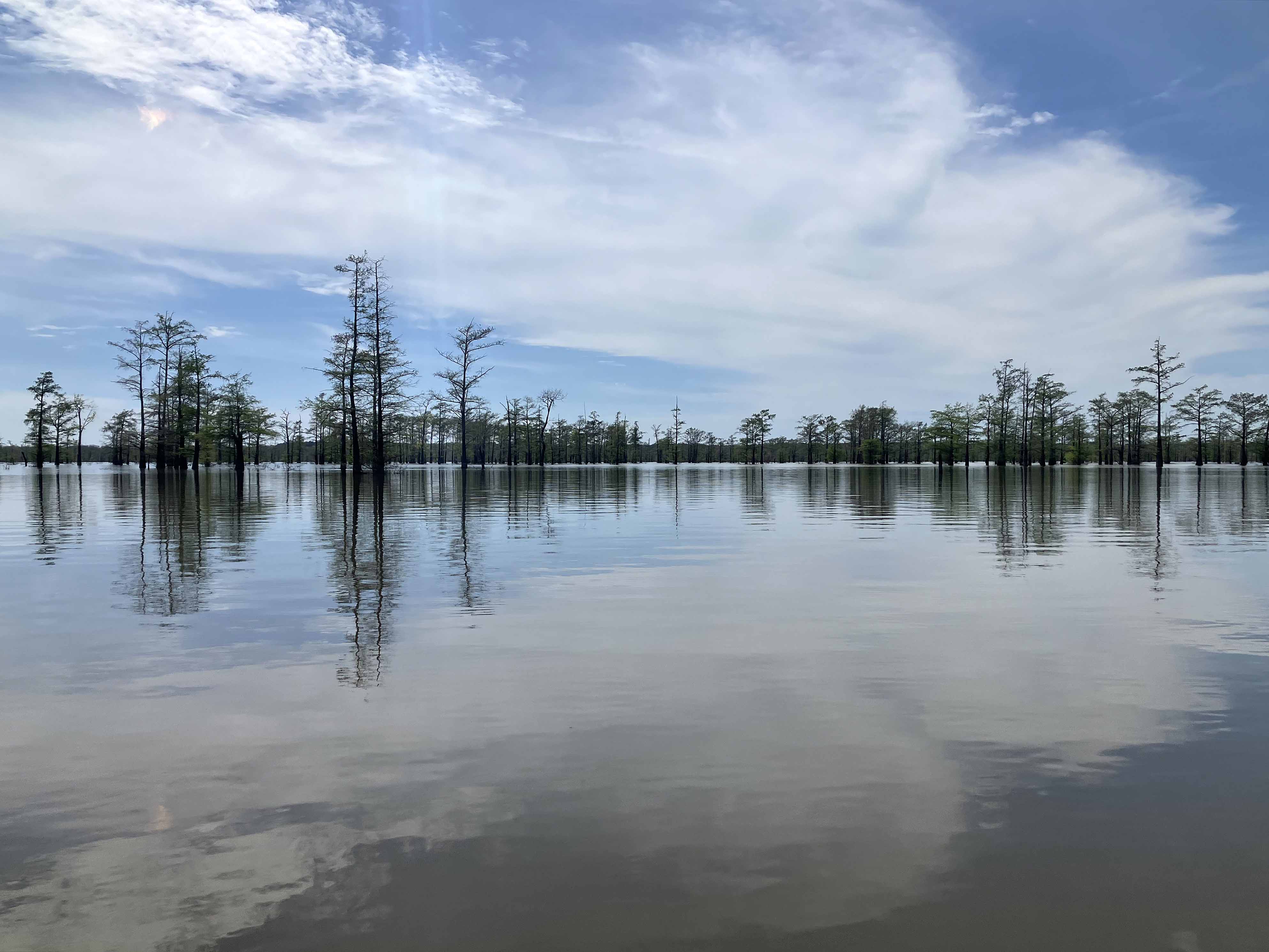
The Shallow Lake Ramp kayak route here goes south and loops that part of the lake that lies the west of the Ouachita River, north of the Lock and Dam. The most interesting area is the dense, watery, forest on the west side where the trees show up as a slightly different army green color on the map. In this area there lots of exploratory possibilities, and its a challenge to choose your path and weave in and out among the trees. On the upper east side is a small, hard to find, channel that allows access to the Ouachita River itself, depending on water levels. Lakes like this, Felsenthal, Bistineau, Caddo, with open water and cypress trees everywhere, tend to look alike no matter where you are. A compass and map are useful, especially in cloudy conditions with no obvious sun direction, to avoid long ‘oops’ backtrack paddles or more serious I’m lost situations. On this trip I got kind of disoriented on the east to west crossing back to the camp and paddled well south of where I had intended. Depending on the season, surface vegetation may make progress into some areas impossible. A free Felsenthal NWR permit is needed.

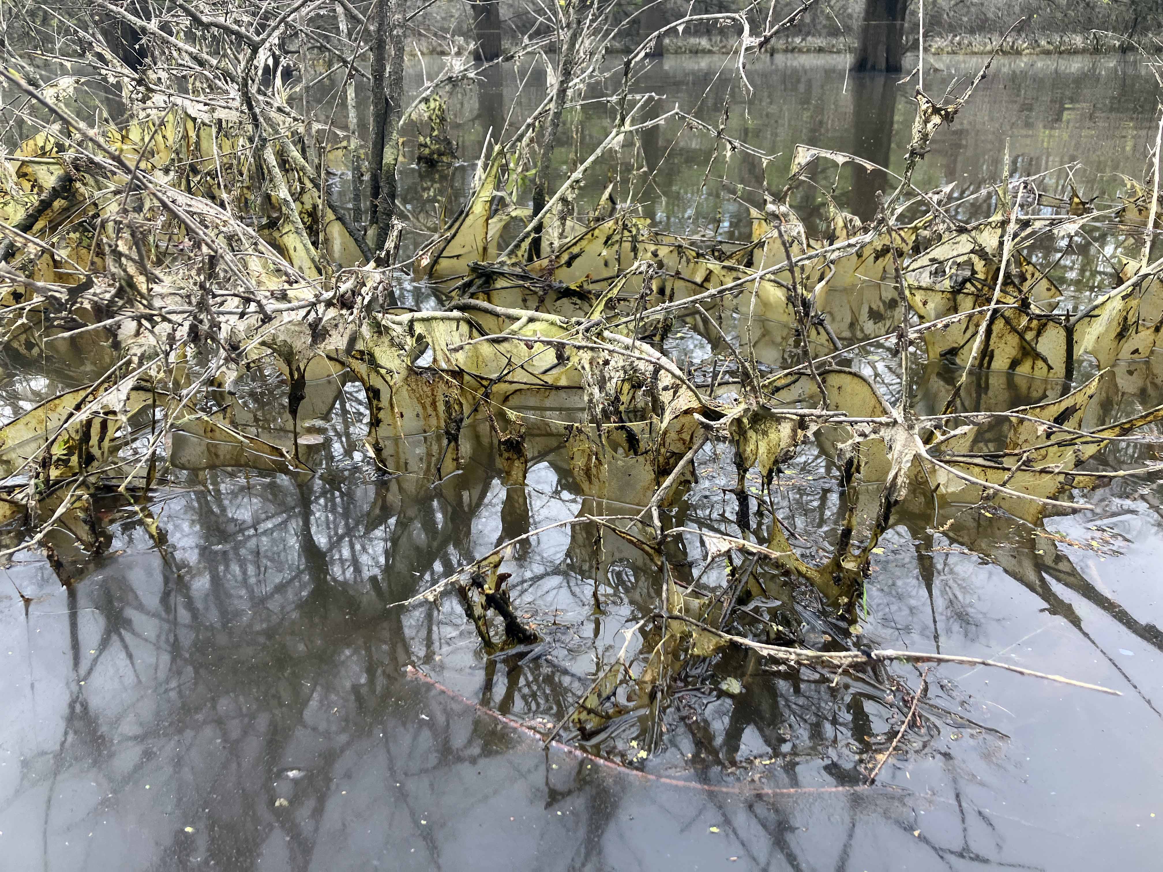
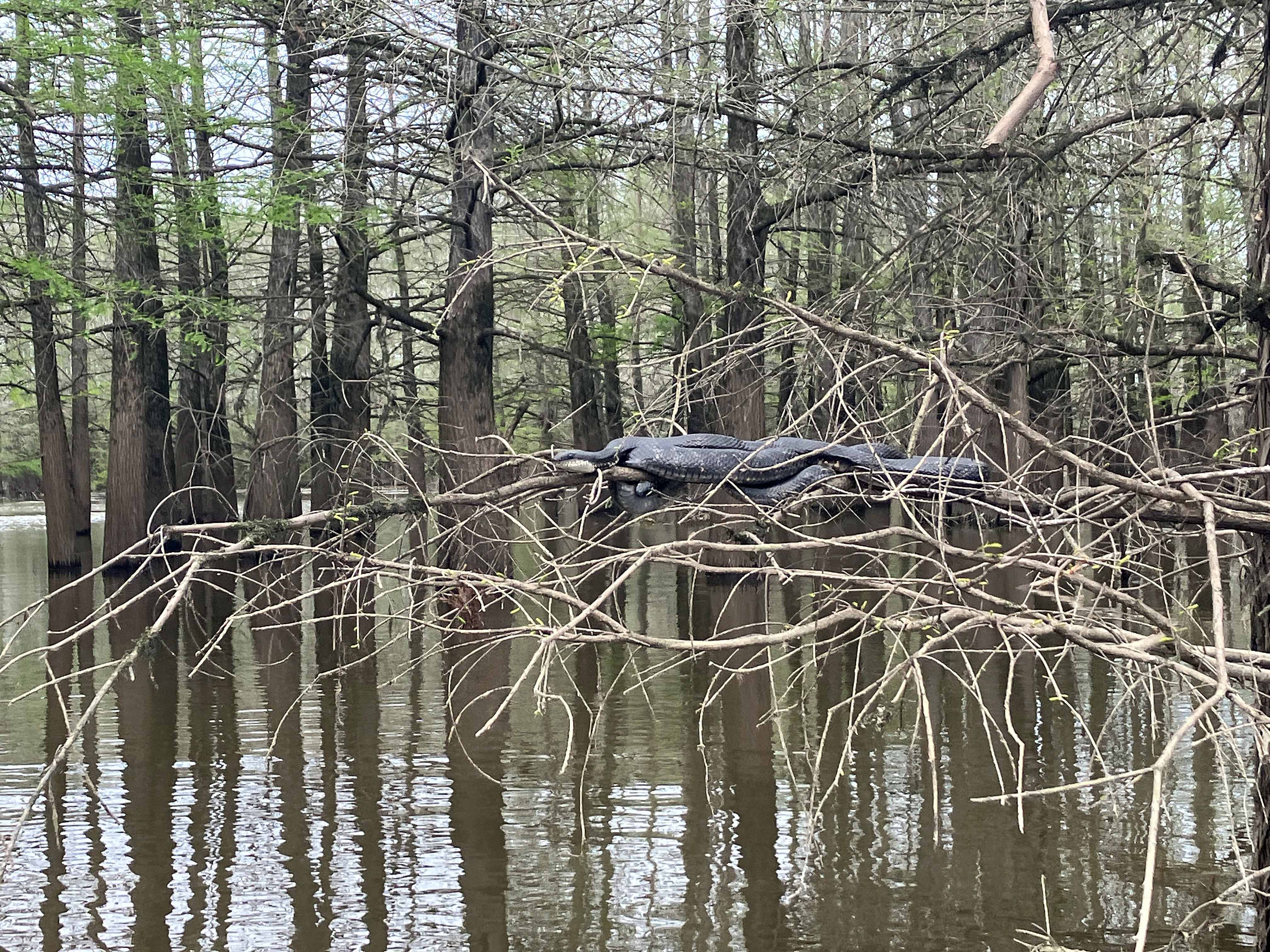
Above: Snake in the branches.
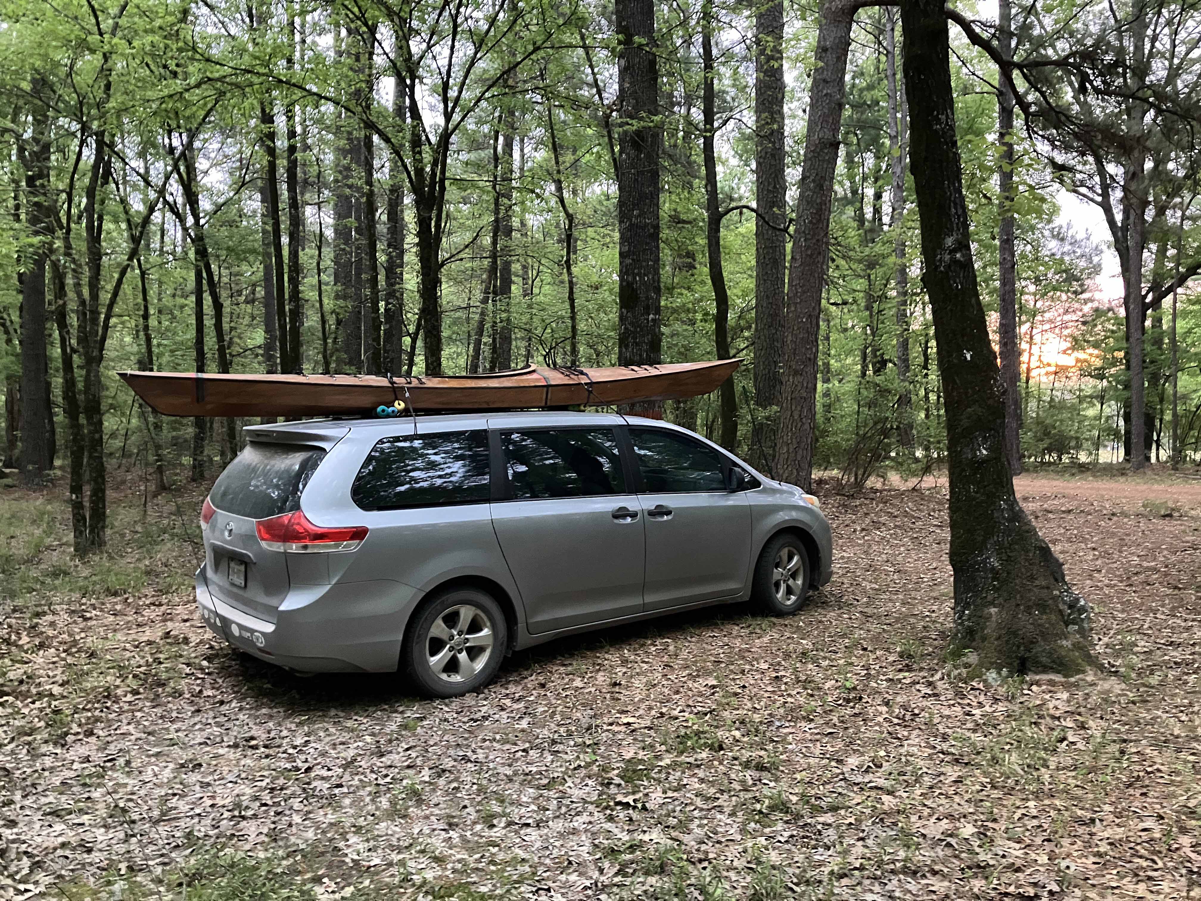
Above: At a Felsenthal NWR primitive campsite.
