Hugo Lake WMA, Kiamichi River, Long Creek, OK E

Kayak Paddle Route Map Hugo WMA, Kiamichi River, Long Creek, Oklahoma www.SawdustRiver.com

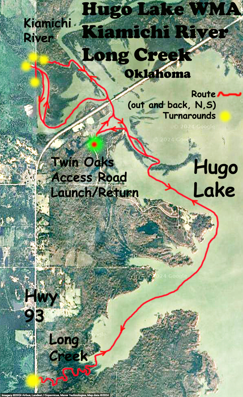
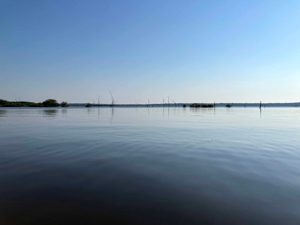
A kayak paddle route in the Hugo WMA, Hugo Lake area of Oklahoma. The launch is at the end of the Twin Oaks Access Road off Highway 93 just north of Hugo OK. The trail goes north first to investigate some areas not explored in earlier trips (yellow dot turnarounds are shown on the map), and then heads south on Hugo Lake. I went up Long Creek to the Highway 93 bridge and then back to the launch site. A bit windy on the lake that day. What a nice place!

Kayak Paddle Scenery Picture Hugo WMA, Kiamichi River, Long Creek, Oklahoma www.SawdustRiver.com

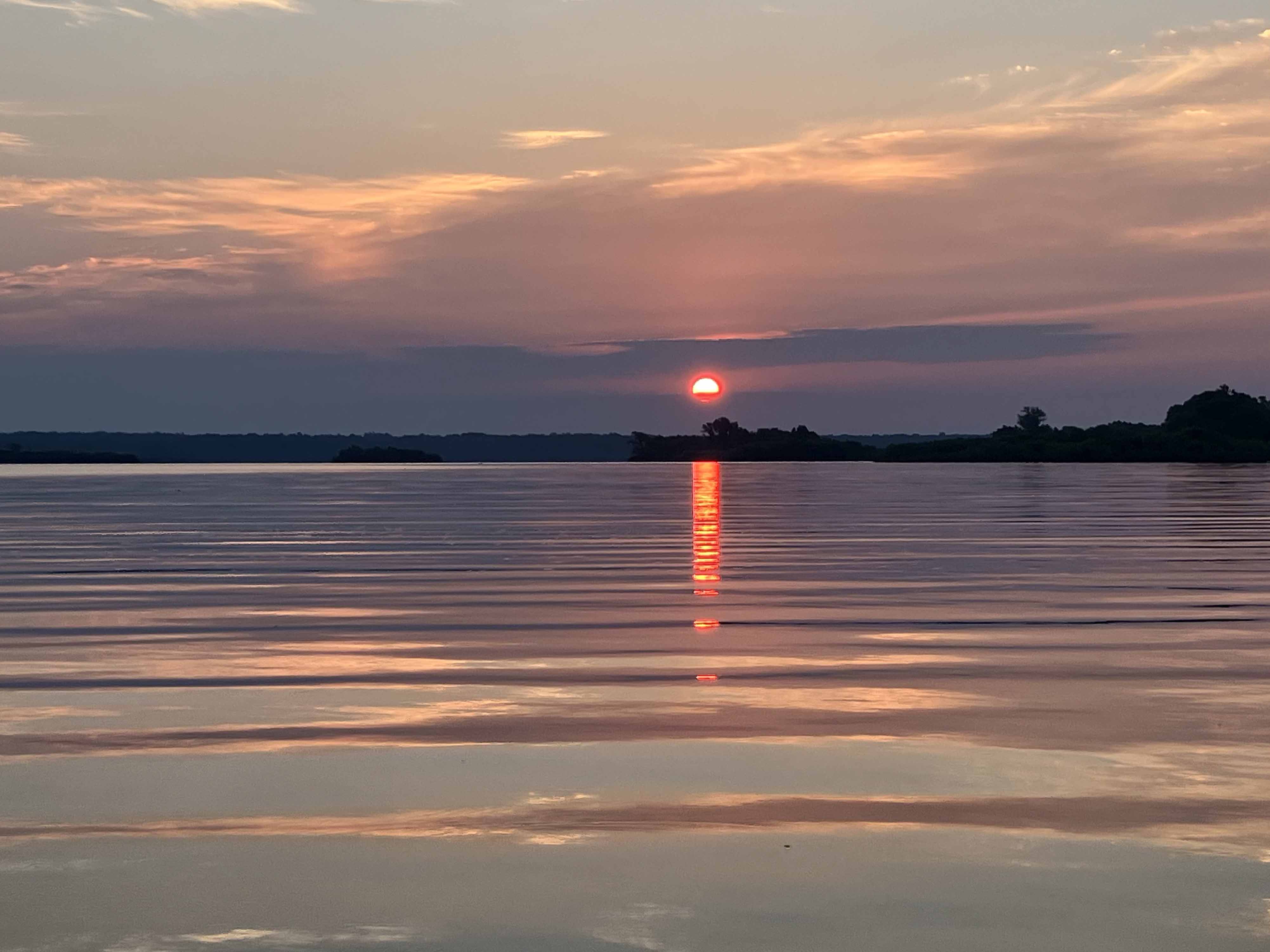
Above: Sunrise early launch at the Twin Oaks Road launch on Hugo Lake.

Kayak Paddle Scenery Picture Hugo WMA, Kiamichi River, Long Creek, Oklahoma www.SawdustRiver.com

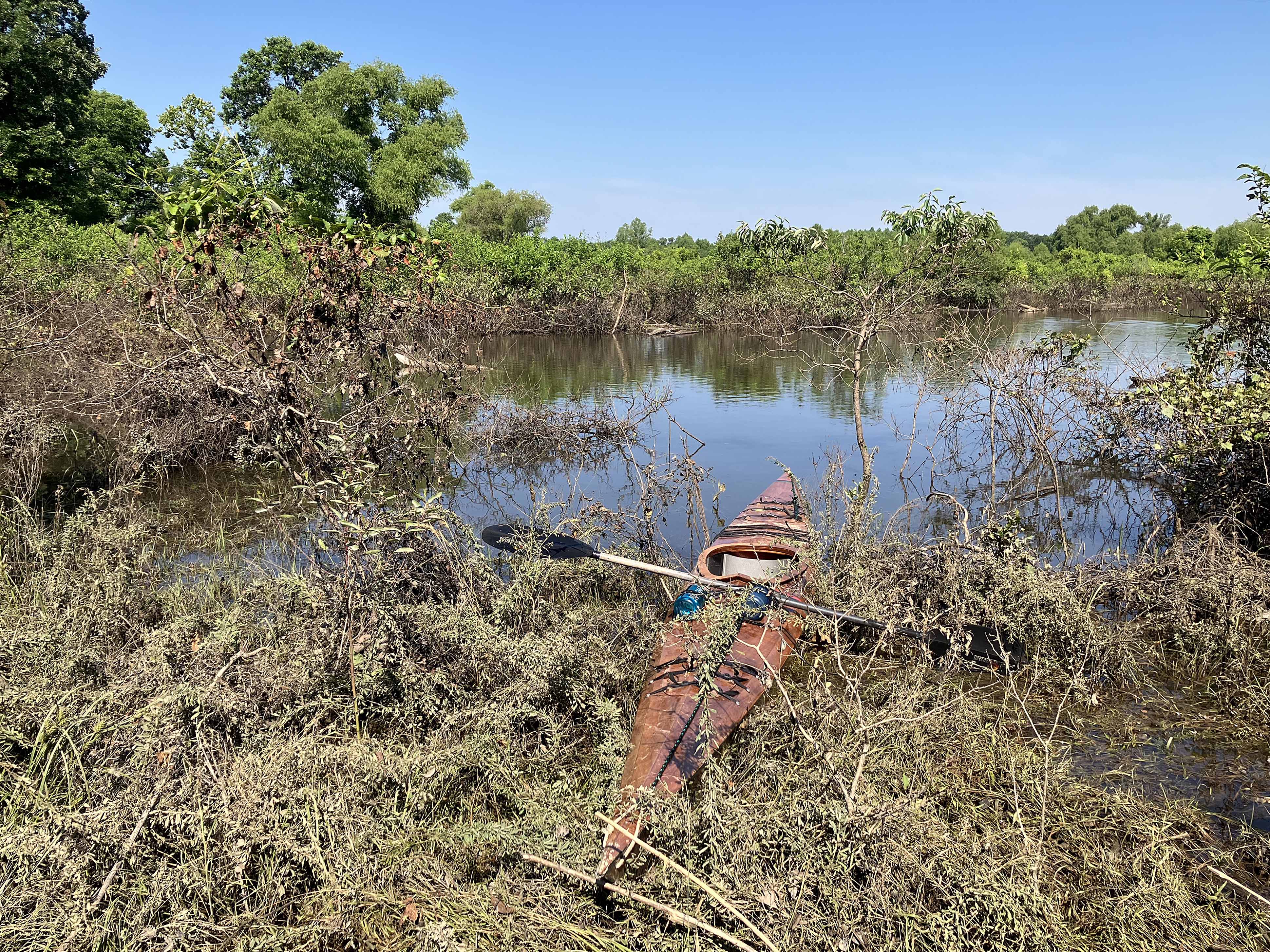
Above: Finally, a landing spot somewhere up Long Creek.
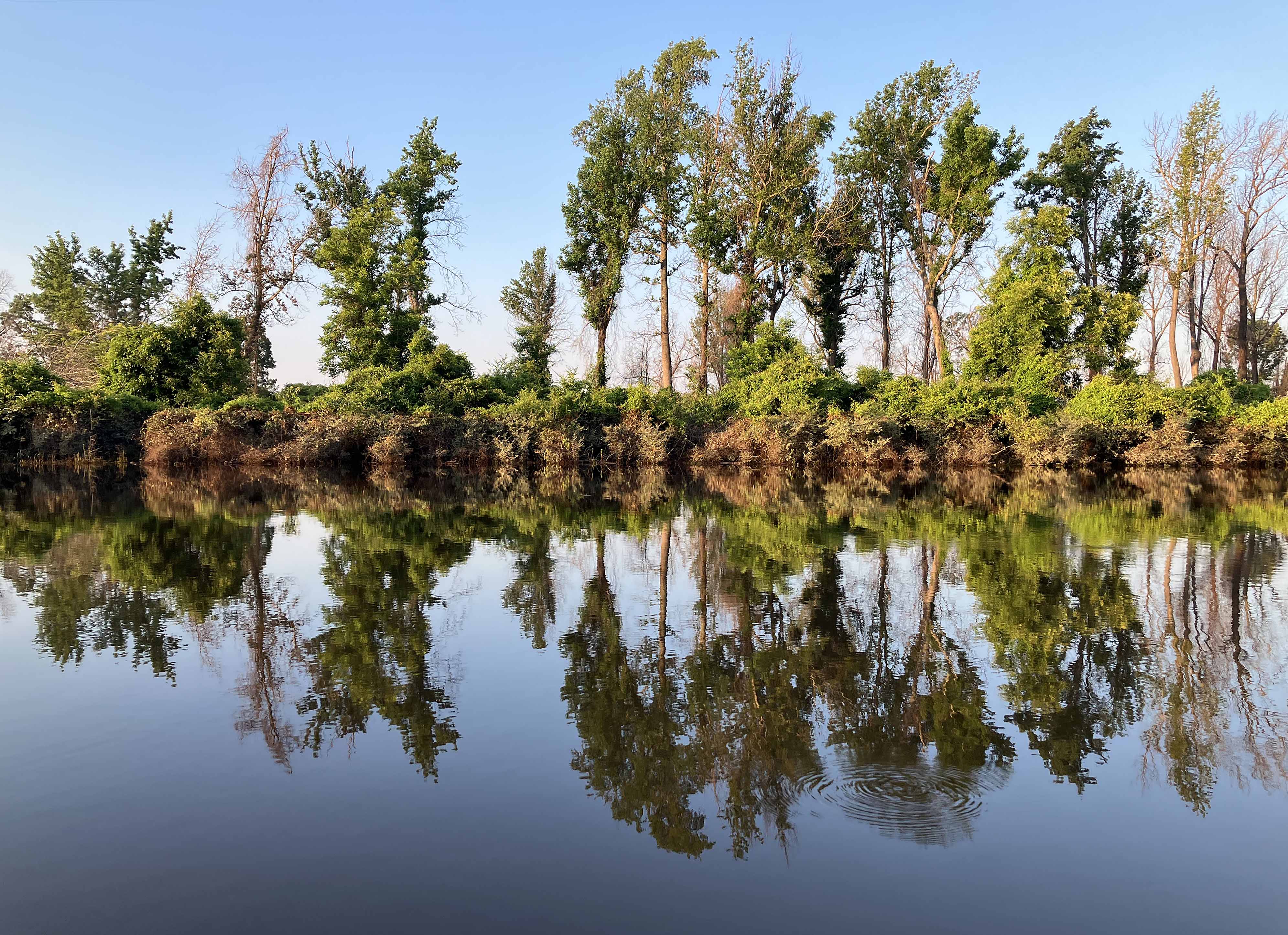
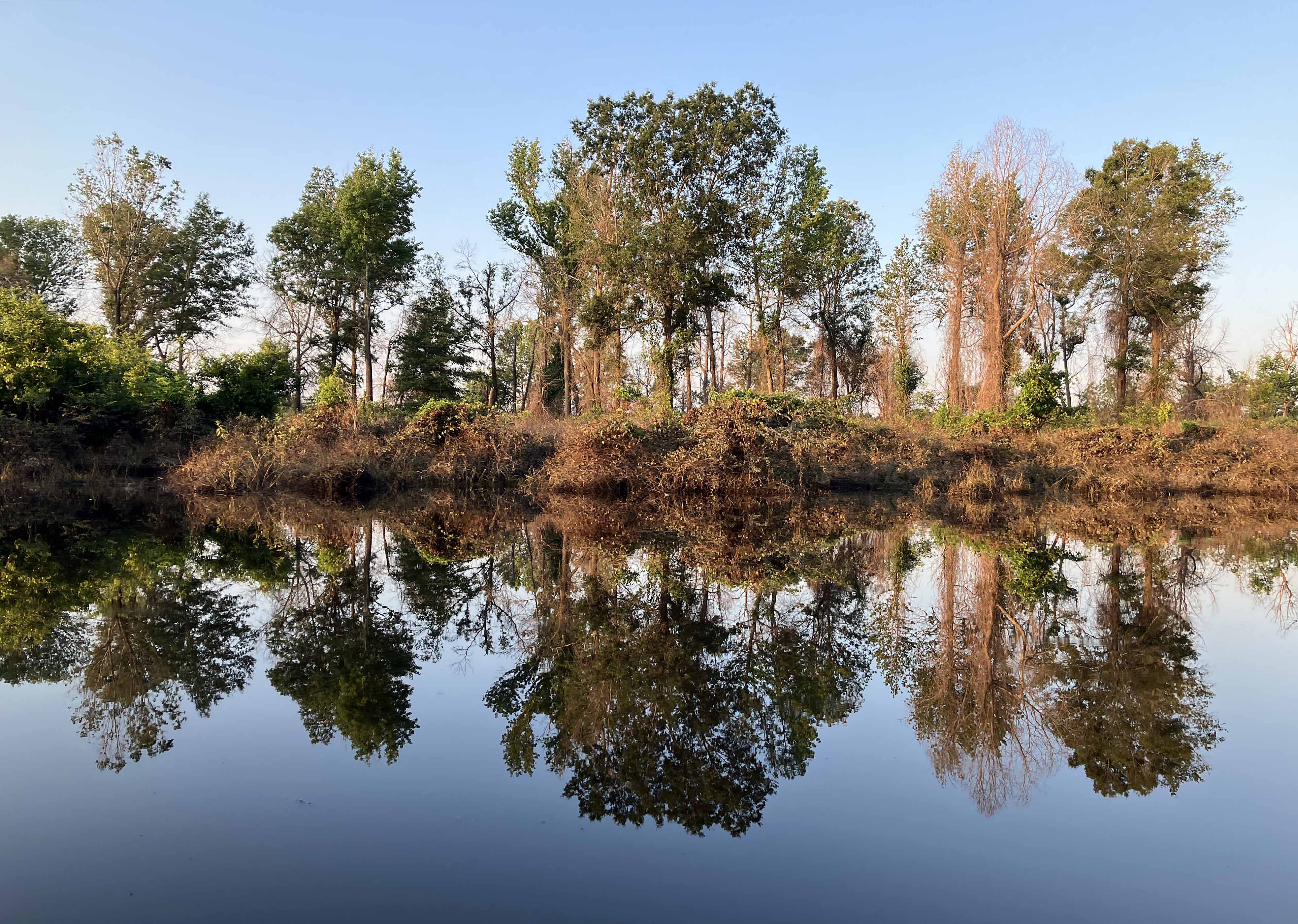
Kayak Paddle Scenery Picture Hugo WMA, Kiamichi River, Long Creek, Oklahoma www.SawdustRiver.com

Above: Perfect.

Kayak Paddle Scenery Picture Hugo WMA, Kiamichi River, Long Creek, Oklahoma www.SawdustRiver.com

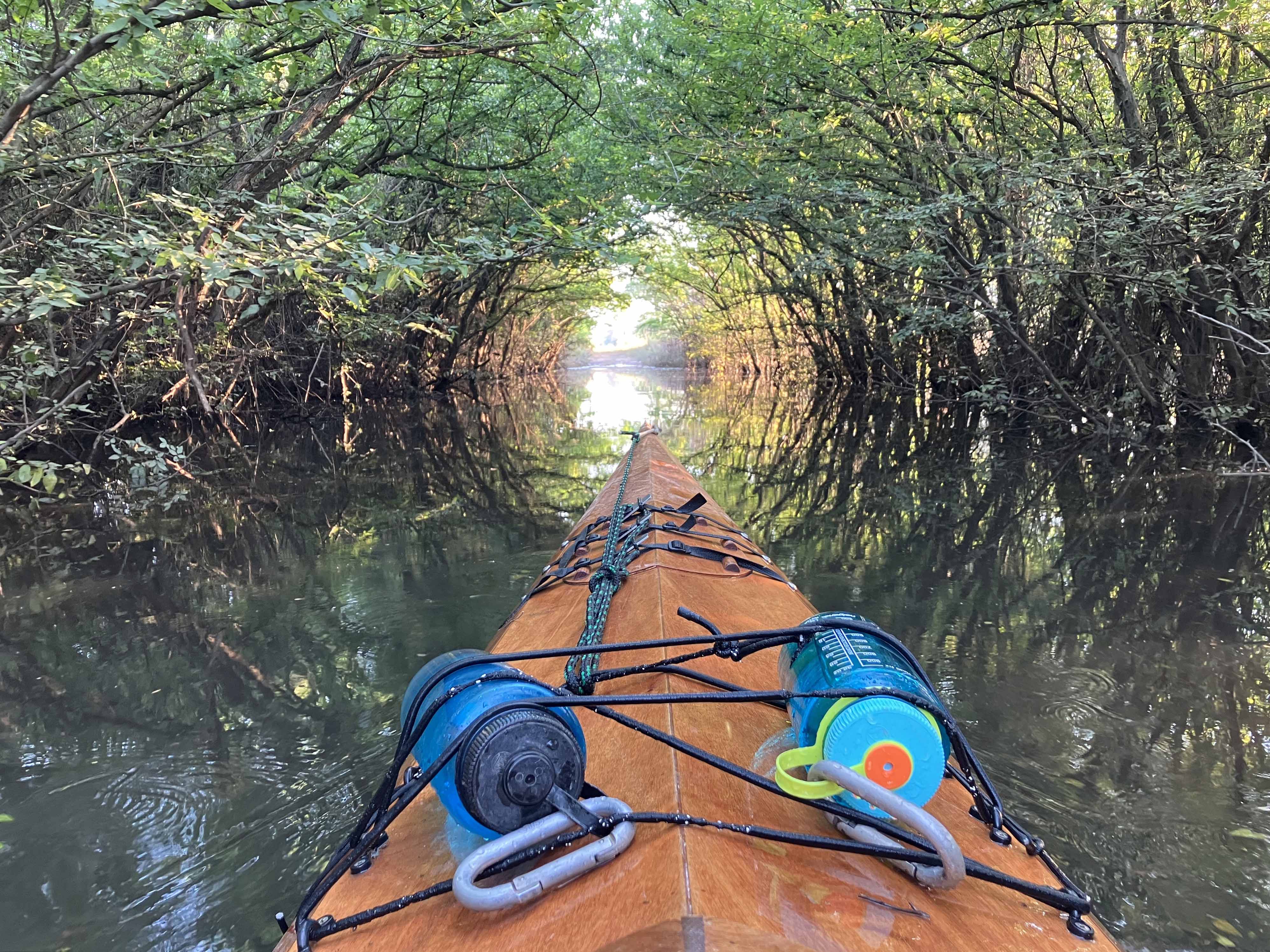
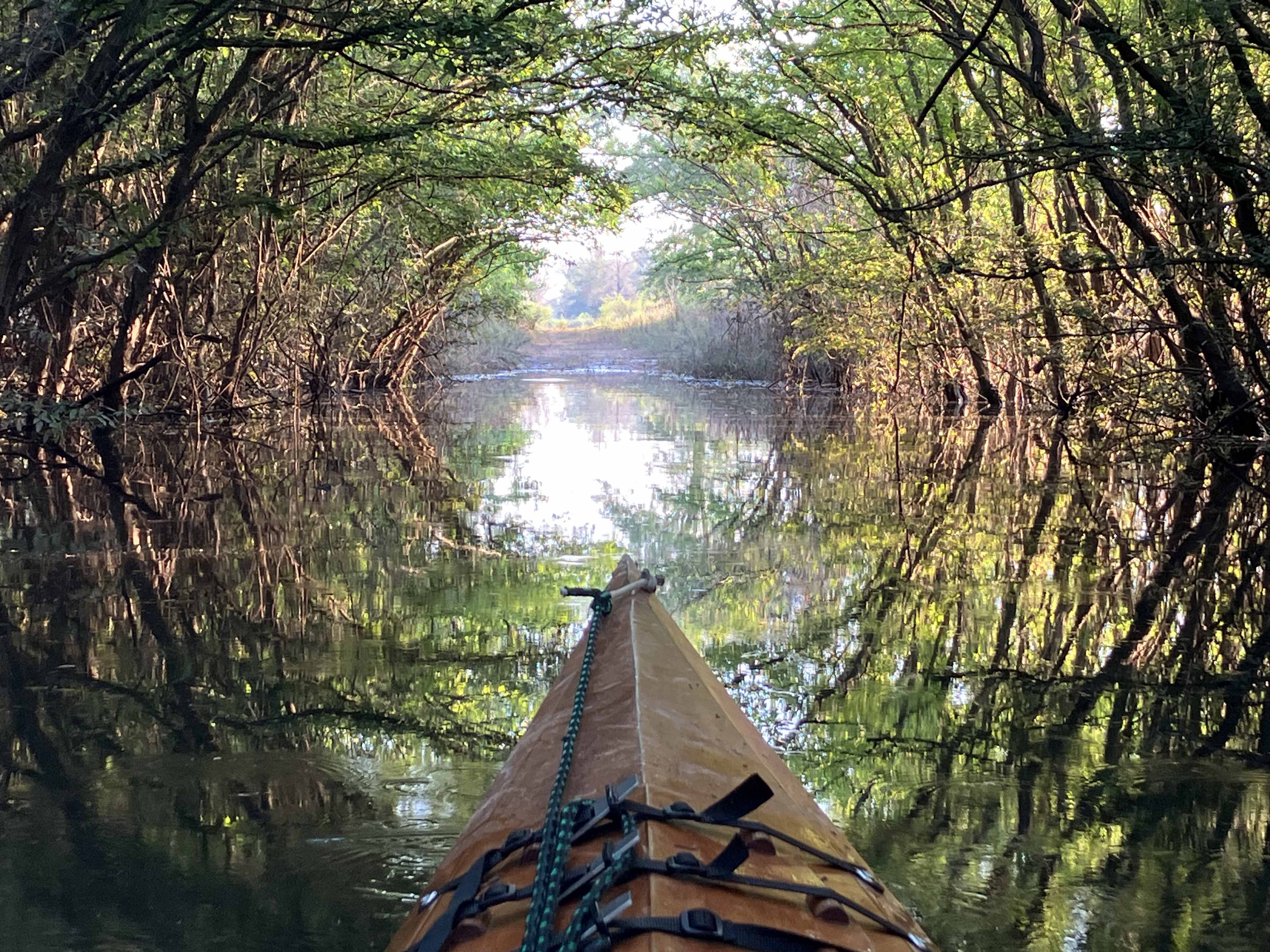
Above: Water flooded an old unused road at the most northerly turnaround of the route. Plants on each side curved inward to form a natural tunnel, and the sunlight hit it just right. Absolutely magical.

Kayak Paddle Scenery Picture Hugo WMA, Kiamichi River, Long Creek, Oklahoma www.SawdustRiver.com