Indian Bayou, West Dixie, Atchafalaya Basin, LA B
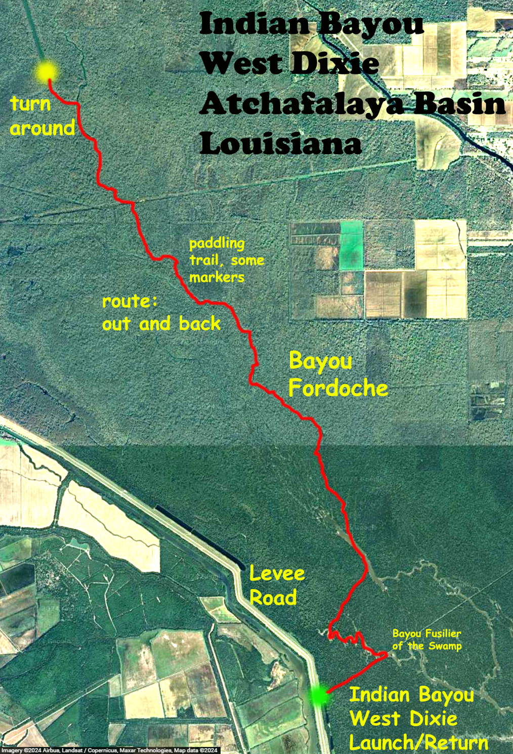
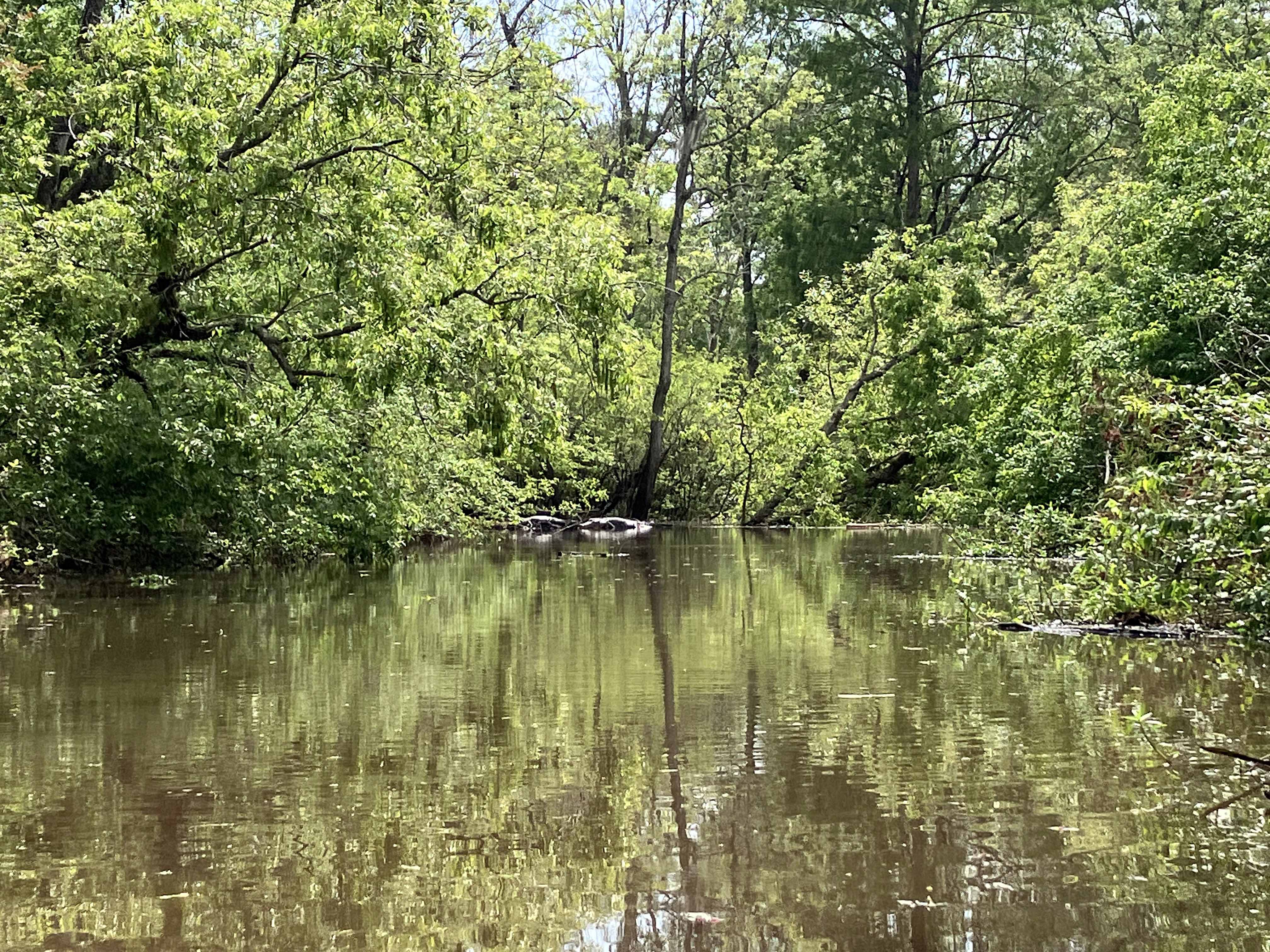
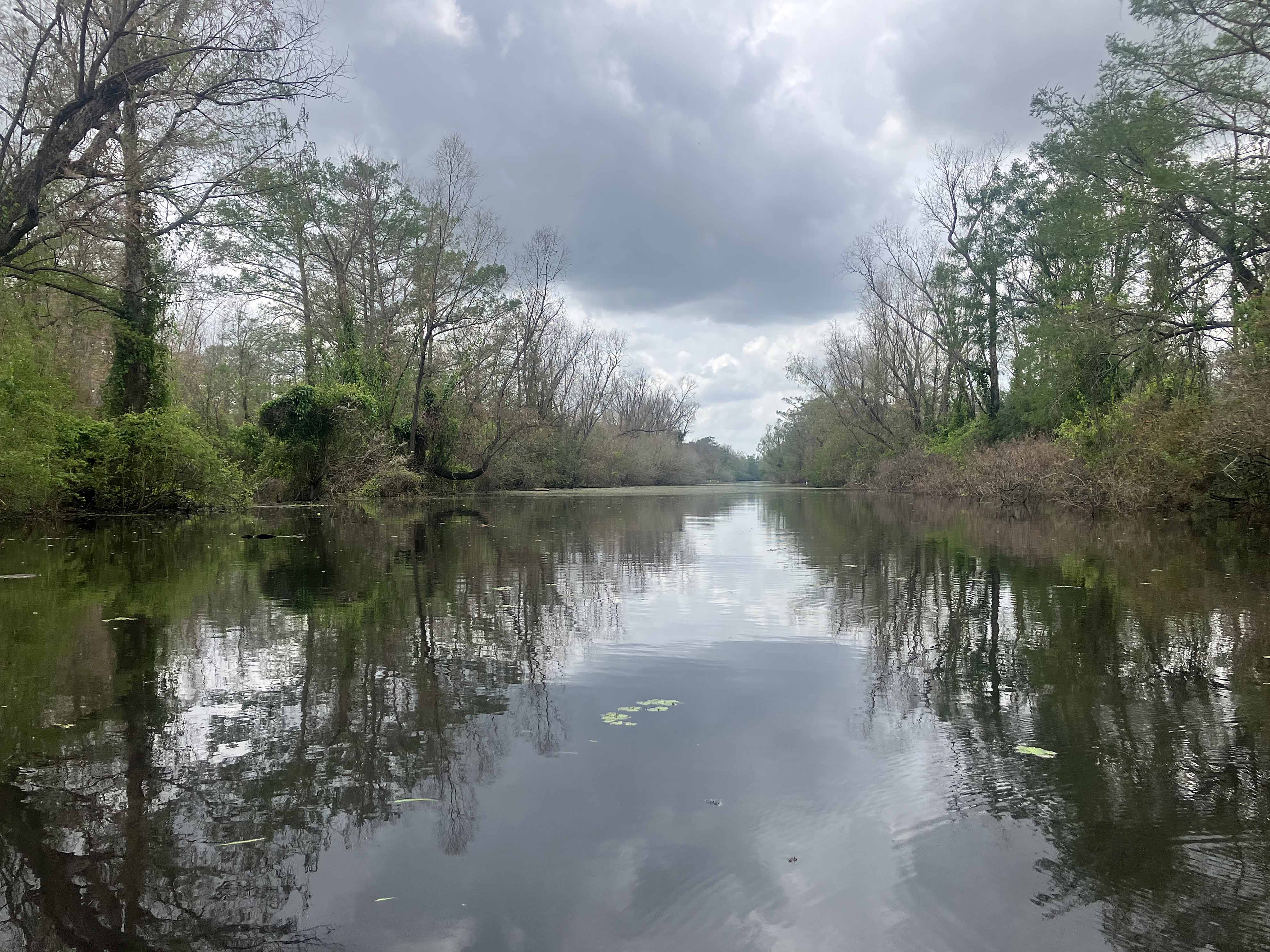
This route starts at the West Dixie / Indian Bayou launch north of I10 on Henderson Levee Road. The route follows a Corp of Engineers Indian Bayou trail up to Lake Fordoche and then further up Bayou Fordoche. I did an out and back, turning around at a point where the bayou widened into a long linear canal. It was pretty clear through the entire route where to go, no confusing this-way/that-way options. And at a few points there are paddle trail markers so you know you are in the right place. This is a spectacular trail, deep in the swamp, many alligators, fantastic scenery, and could be done at various water levels and different seasons for a unique experience each time. A return trip here is on the list.
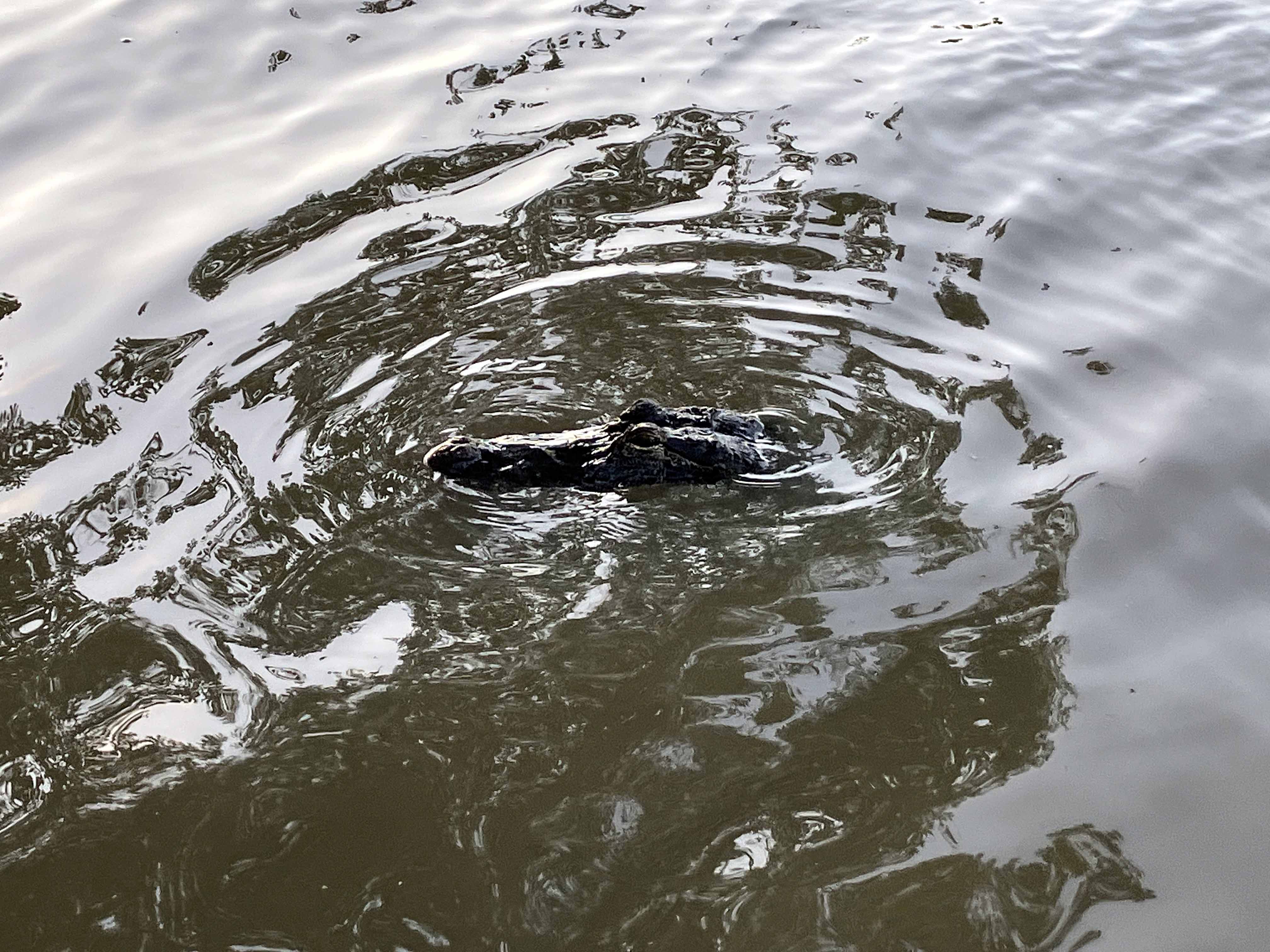
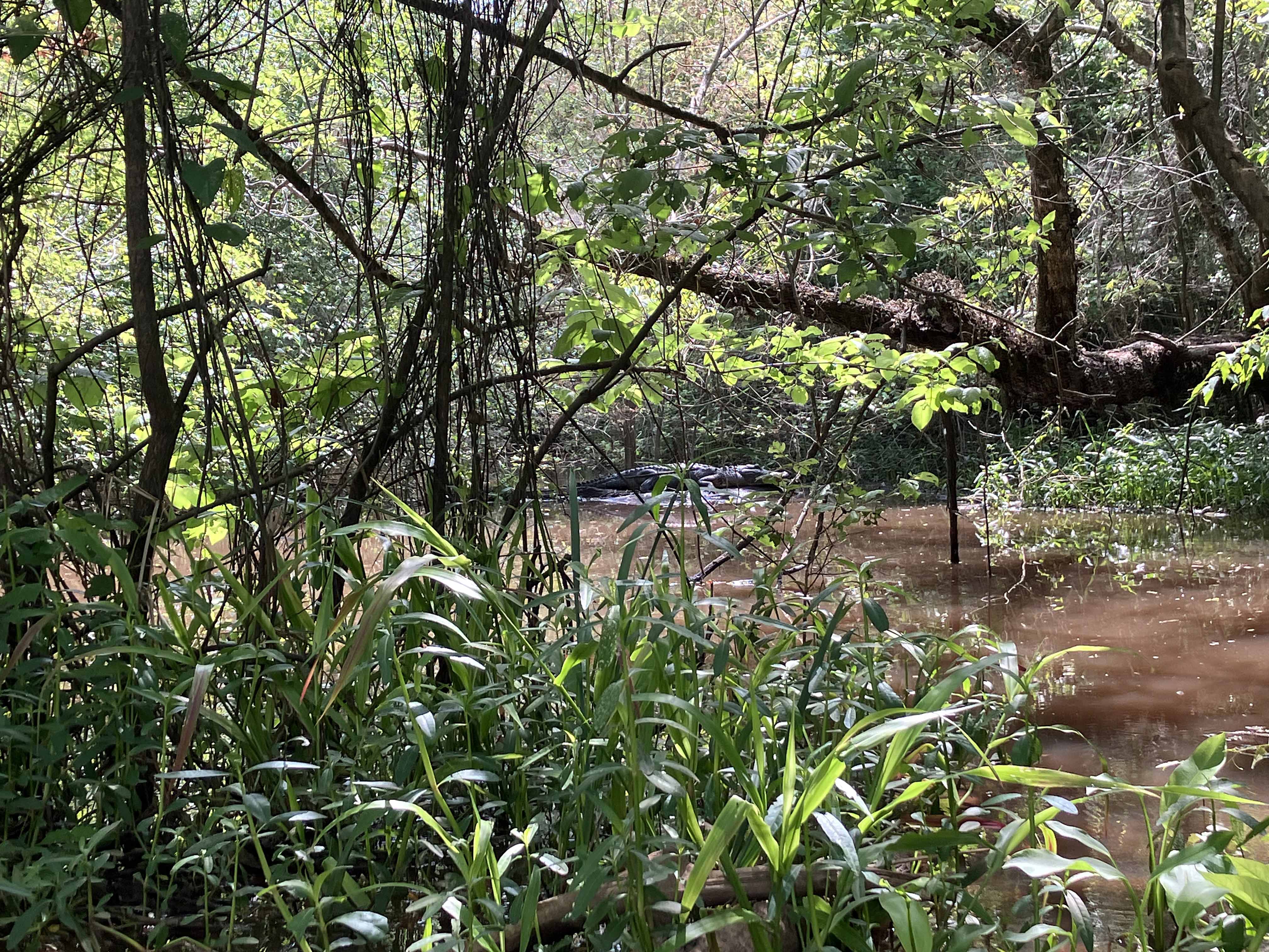
Above: Big gator hiding deep in the swamp.
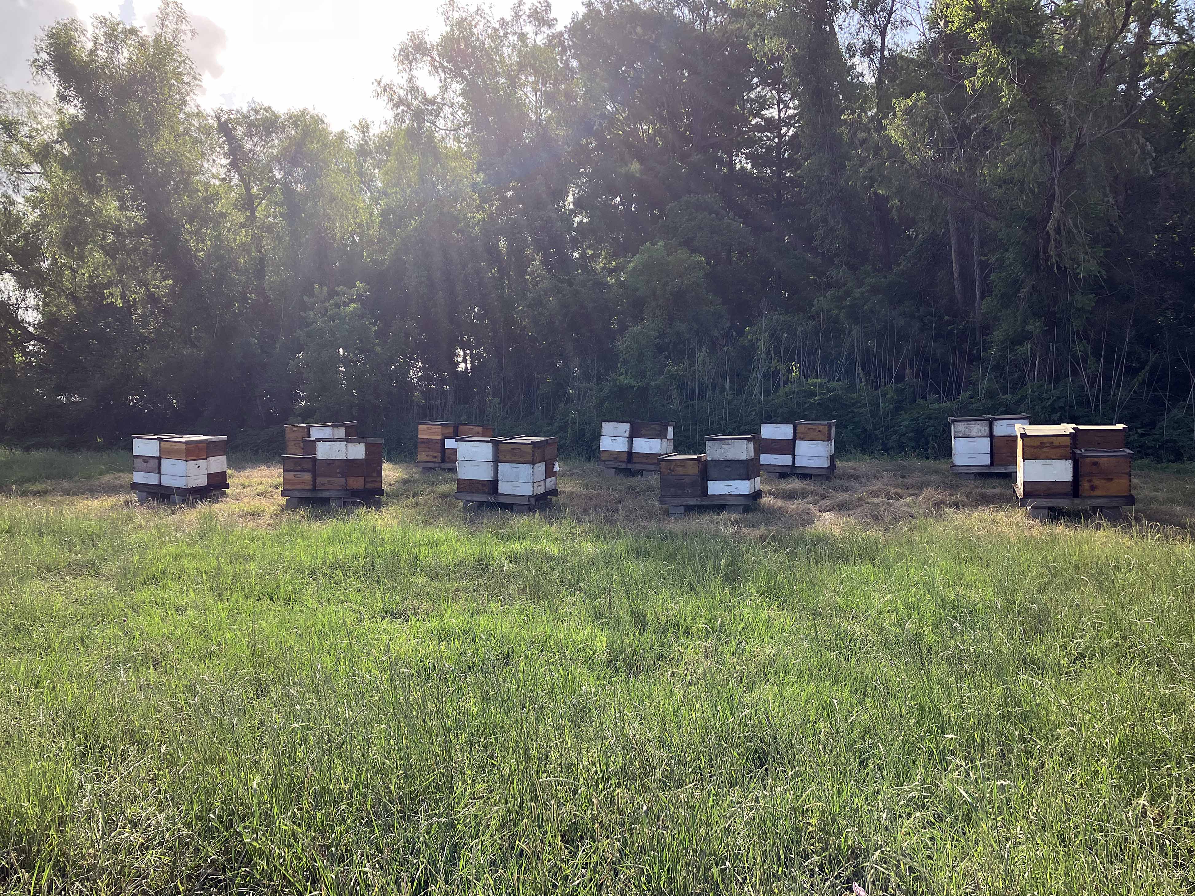
Above: There are lots of beehives along the levee roads.
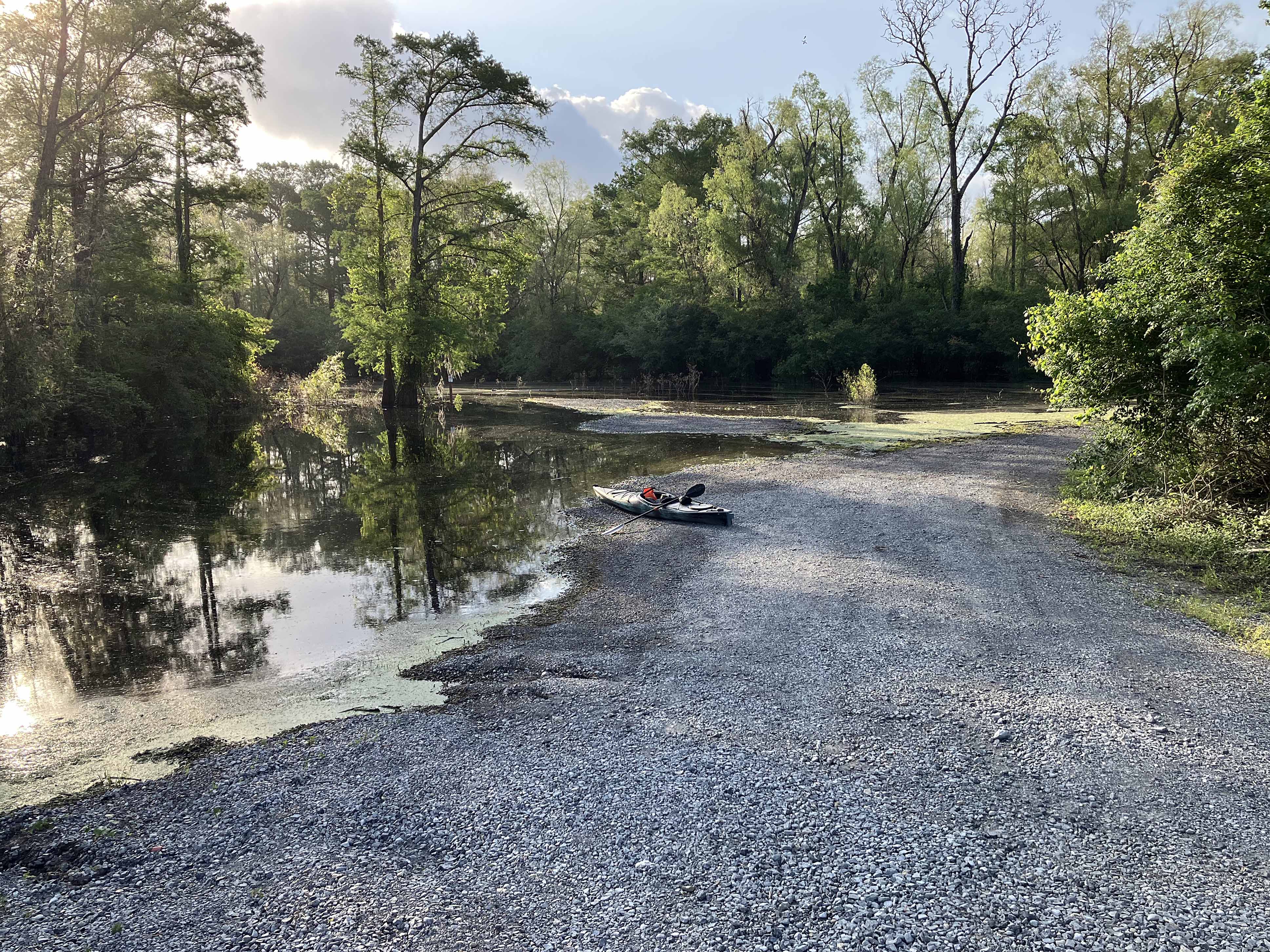
Above: West Dixie / Indian Bayou launch site.
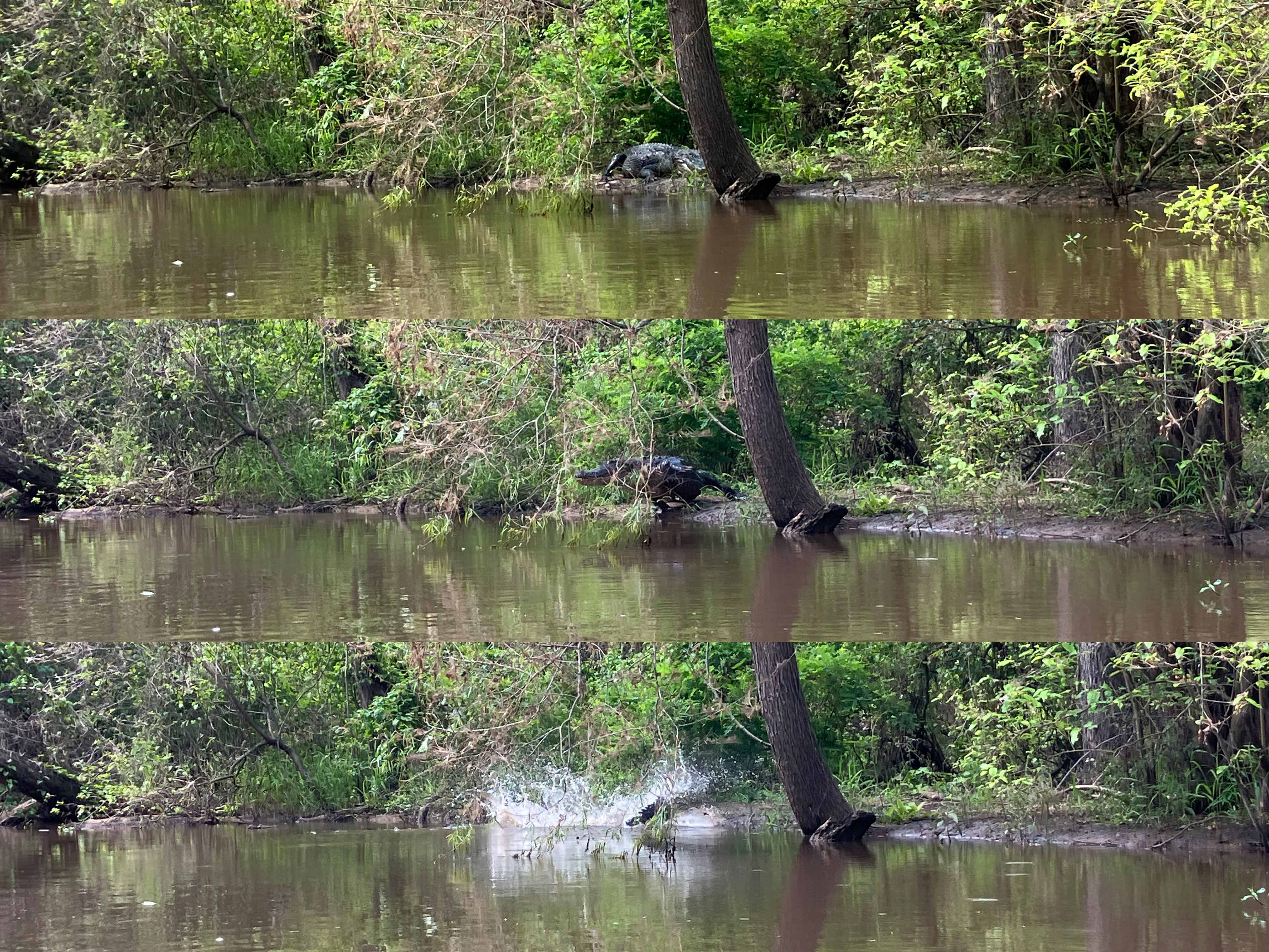
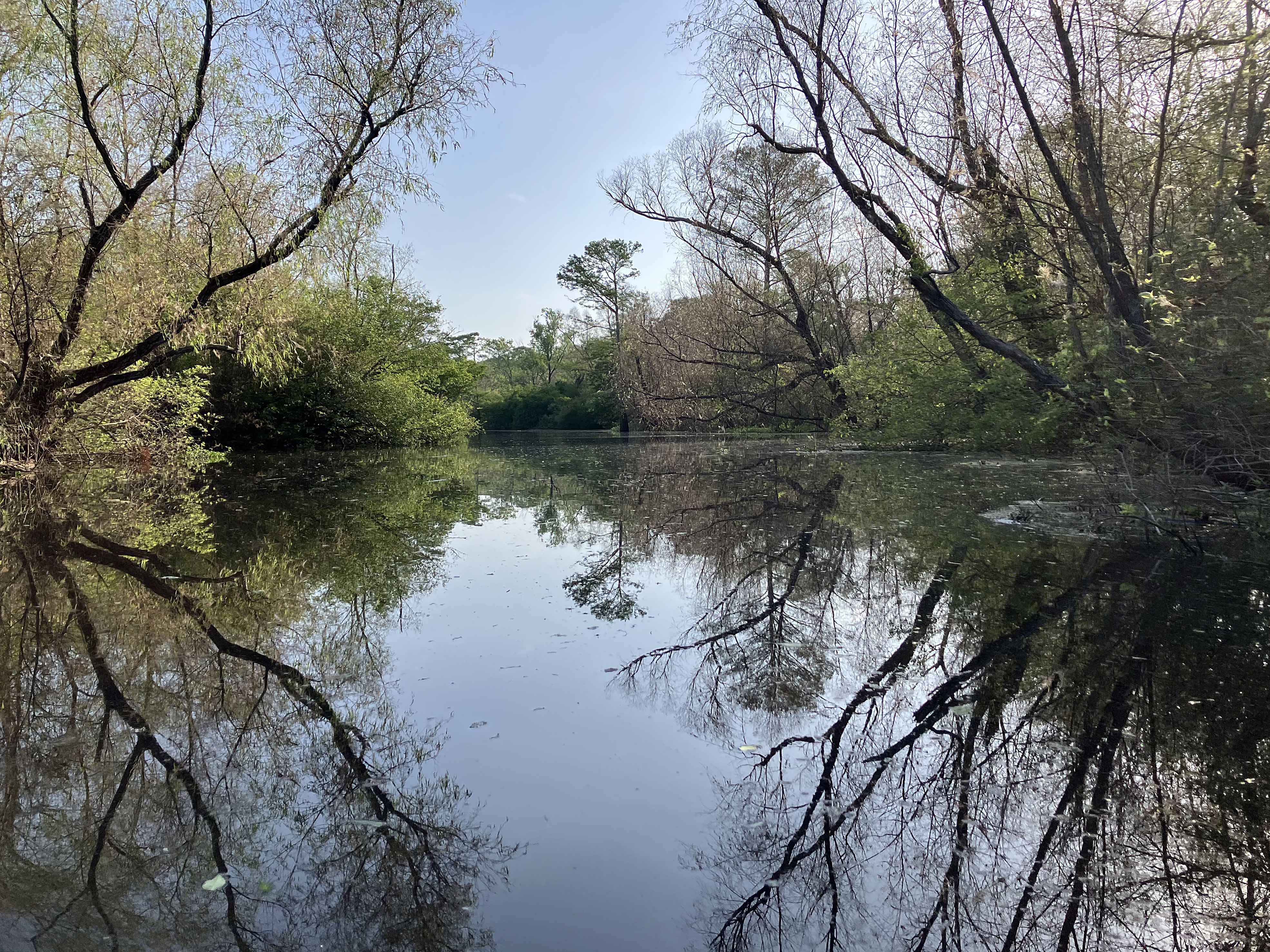
Above: The picture doesn’t do it justice, but this was one of the biggest gators I have seen. It just launched itself into the air.
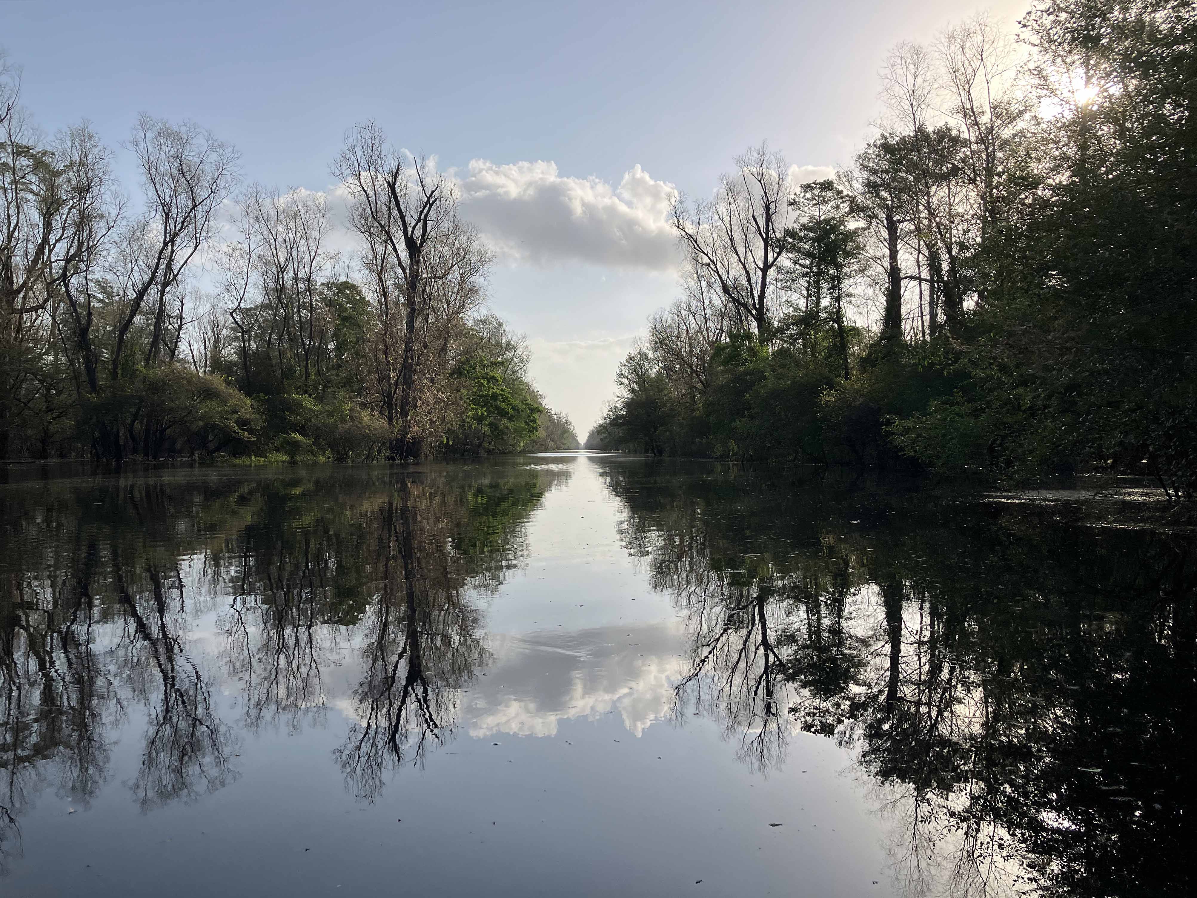
Above: The launch site canal.