Lake Bistineau C, Bayou Dorcheat
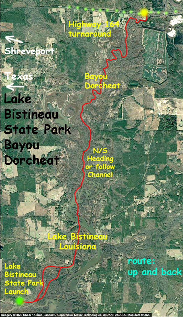
Paddling Lake Bistineau, east of Shrevepoint. Above is a paddle map that does the Bistineau/Dorcheat channel from the state park up to the Highway 164 turnaround. Although this was the goal, you realize there is a lot of area that can be paddled and explored on either side of the channel. And because the whole area runs more or less north-south, going east or west will always get you back to the central channel so that you can reorient yourself. Below the park Bistineau is standard open lake so it’s really this north end that is the best for paddling. Wonderful spot.
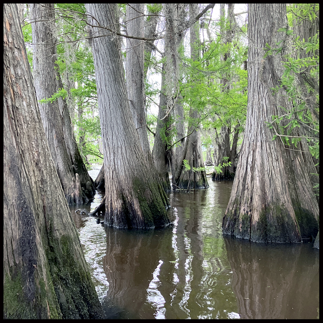
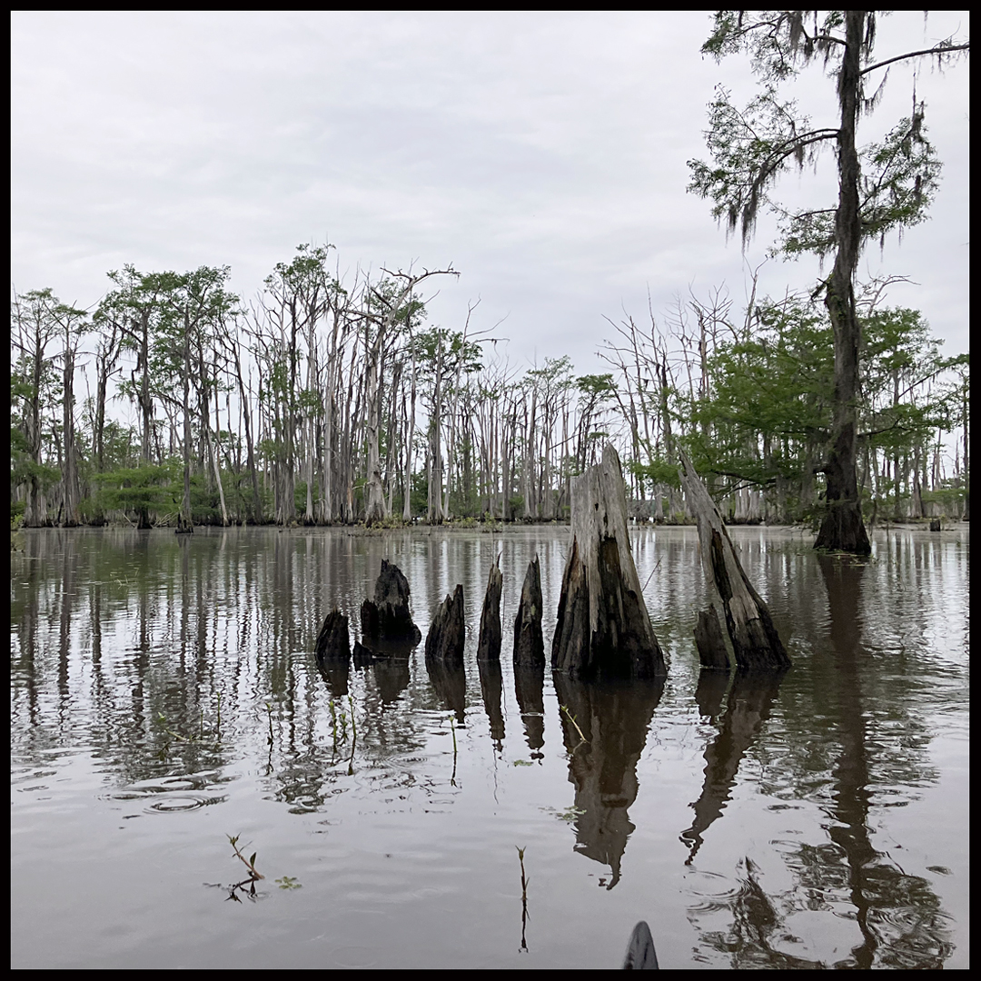
Above: Many places have cypress trees growing so close together you can’t get through.
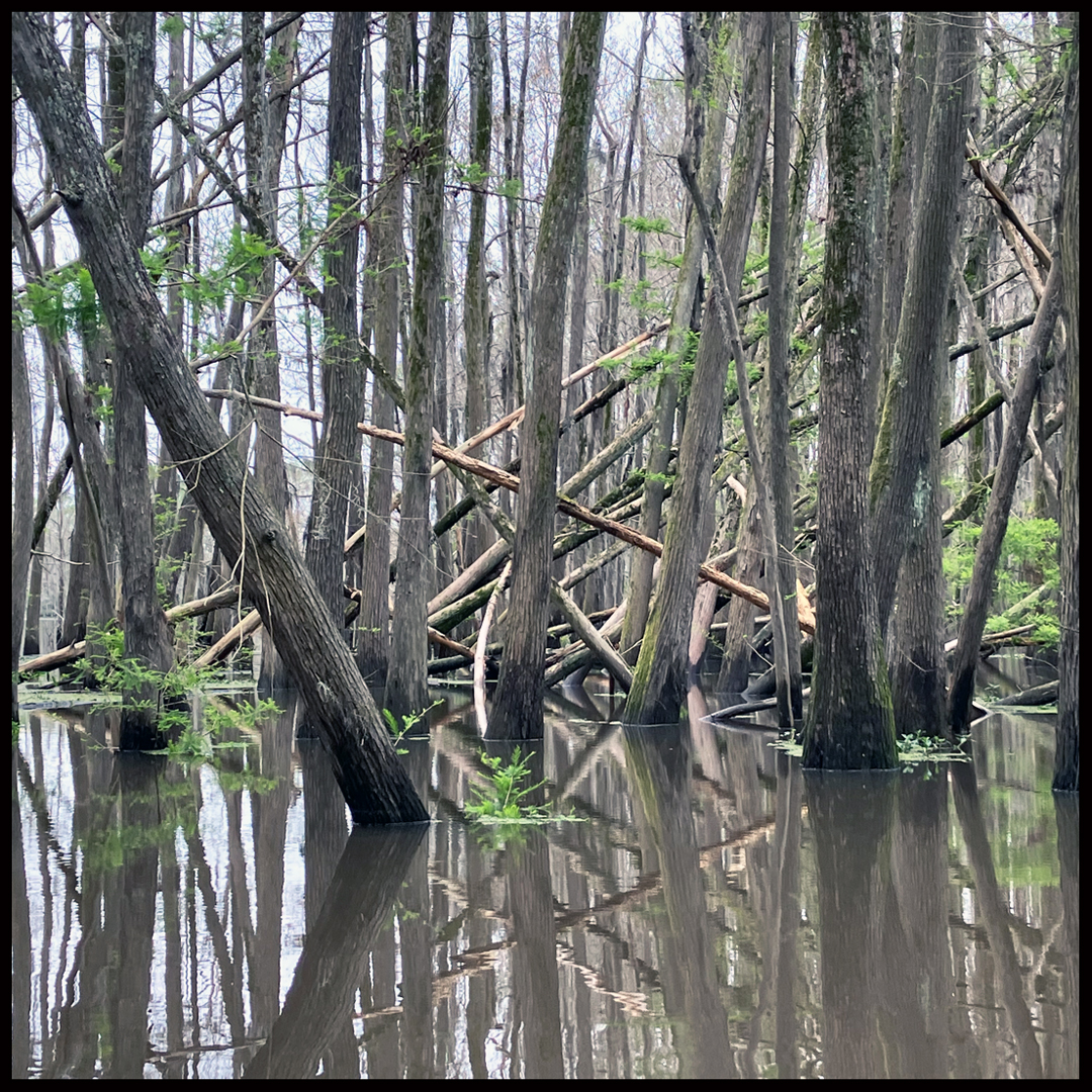
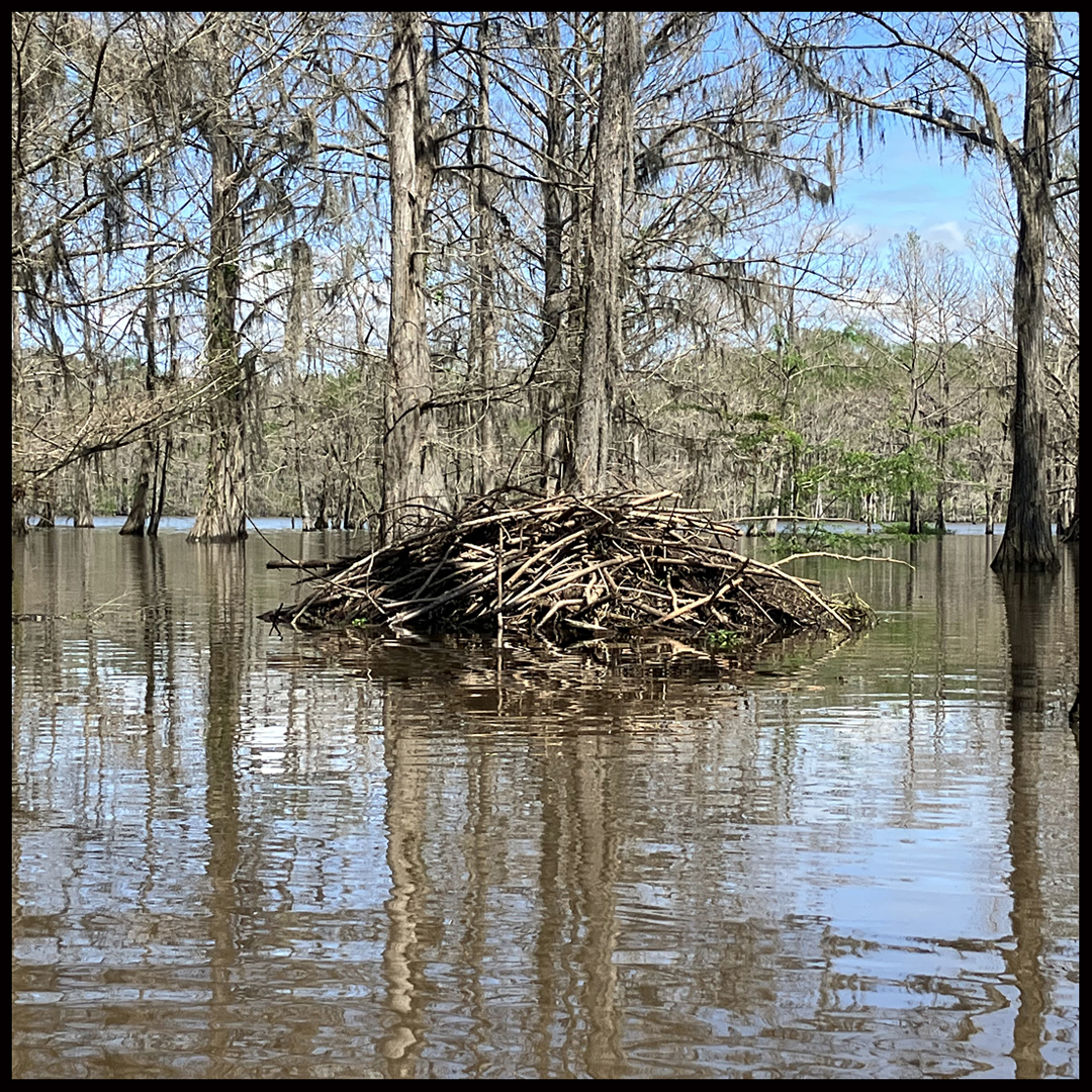
Above: Something happened here.
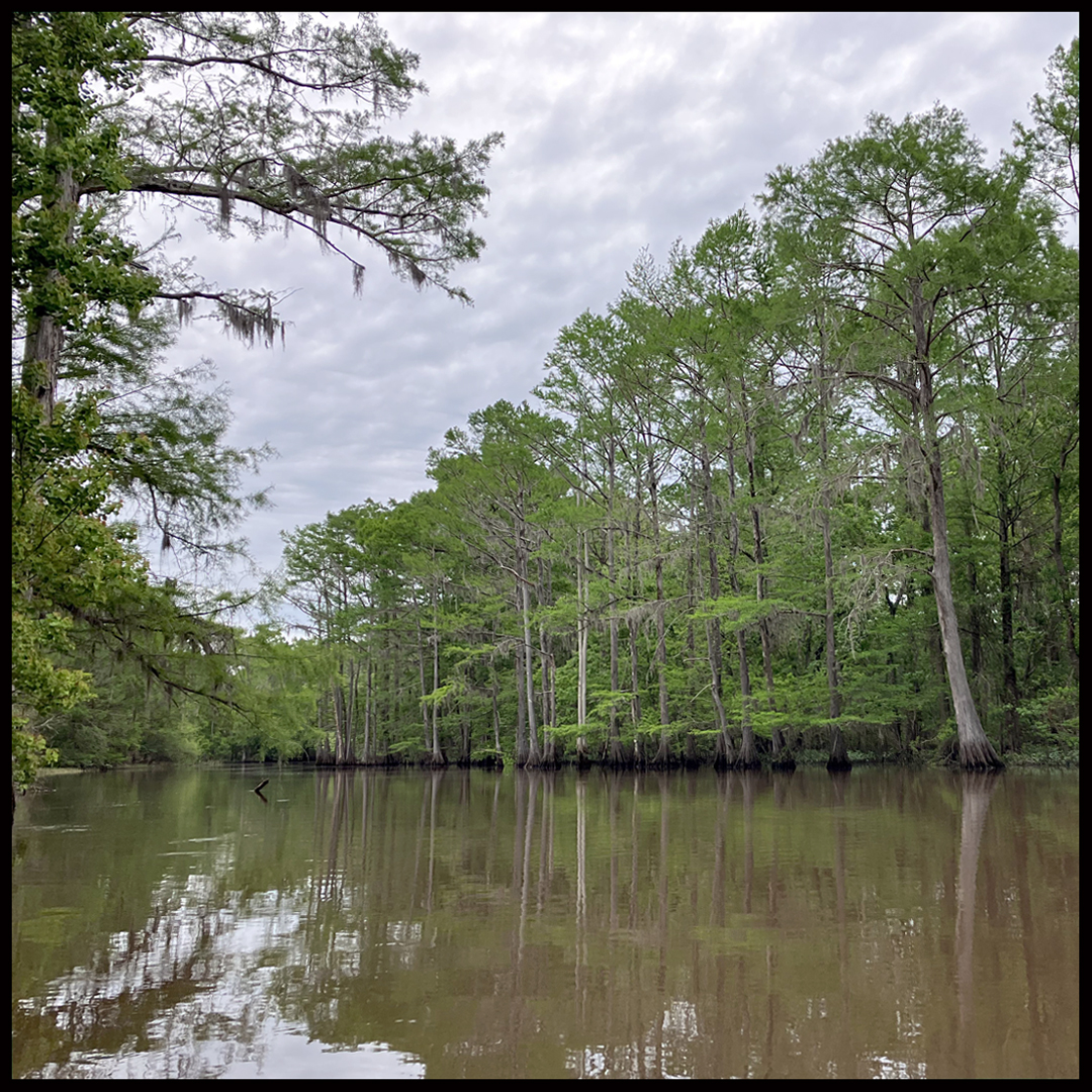
Above: The bayou channel up closer to the 164 turnaround.
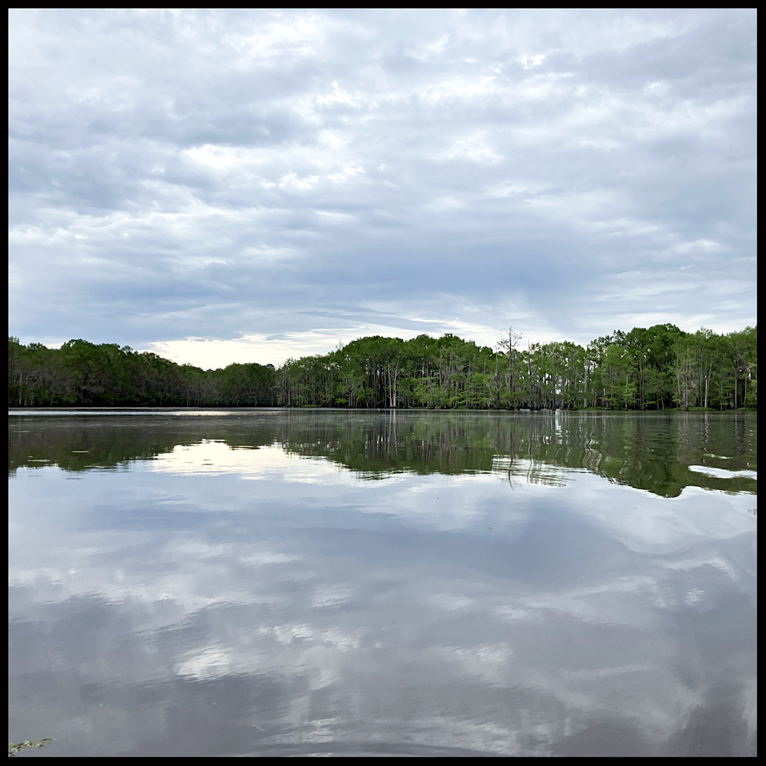
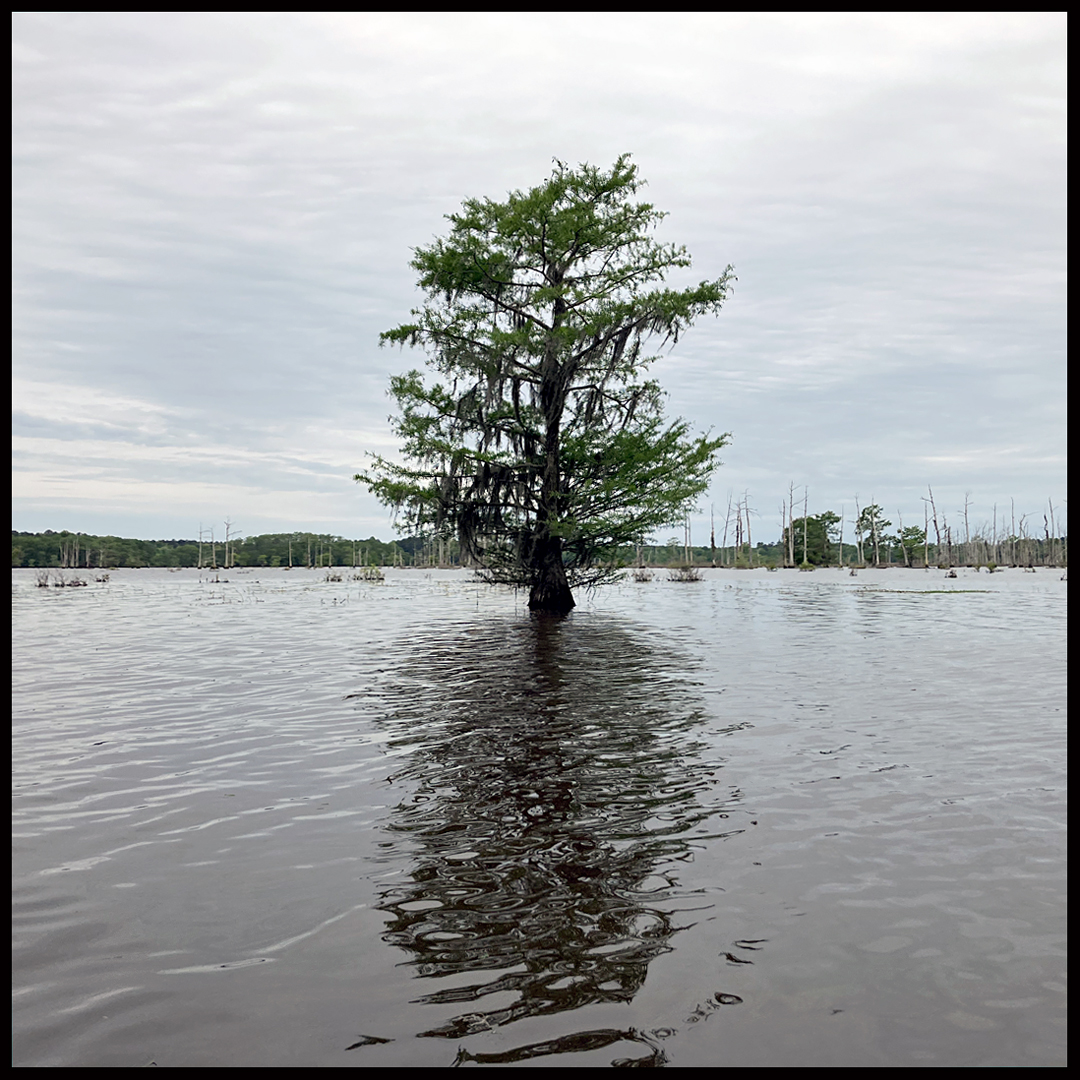
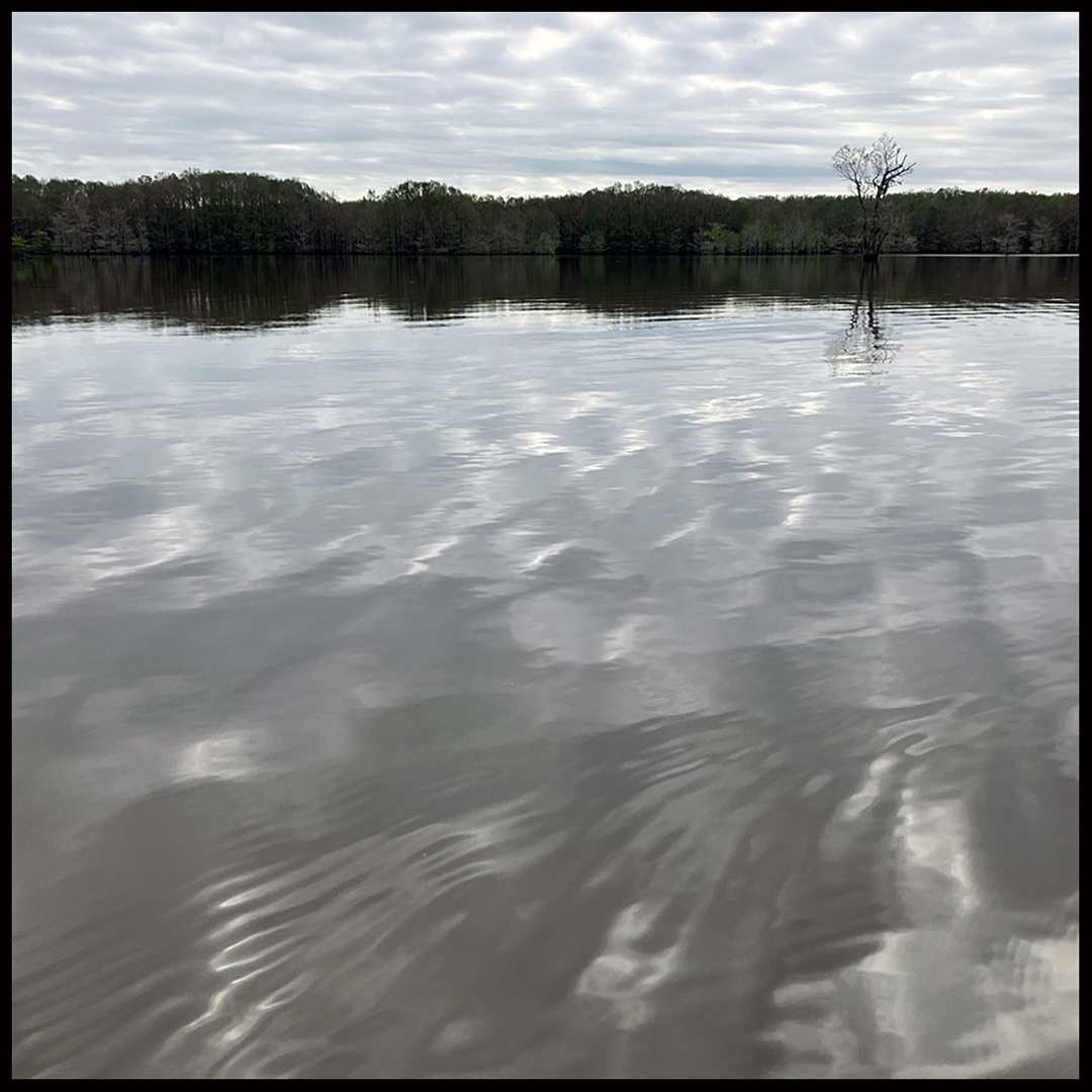
Above: Lake Bistineau, what a great place.
