Lake Lewisville, Elm Fork Trinity
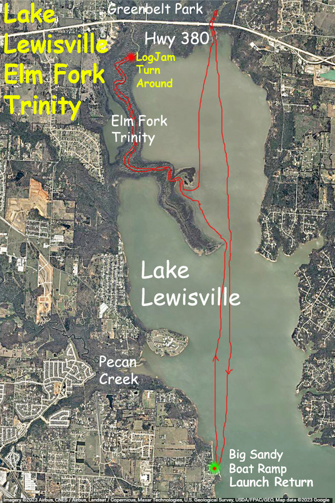
This kayak route launches at the Shady Shores/Big Sandy Boat Ramp on the west side of Lake Lewisville and goes north to the Highway 380 bridge and into the Elm Fork of the Trinity. It may be necessary to use google maps for directions to the launch, driving there is a bit confusing. The paddle route was aiming to find where the Elm Fork of the Trinity flowed in to Lewisville Lake and to go up the river as far as possible. Unfortunately there is a big log jam upstream so you can only go so far before you have to turn around. The region where 380 crosses the lake at the north side had a lot of beaver activity, lots of gnawed trees. This paddle crosses some open regions of the lake, not my favorite thing, and requires care and judgement. One of the links, Center for Cold Water Safety, has a lot of information about open water and cold water safety, extremely important. Nice paddle but too bad about the semi-permanent log jams on the Elm Fork.
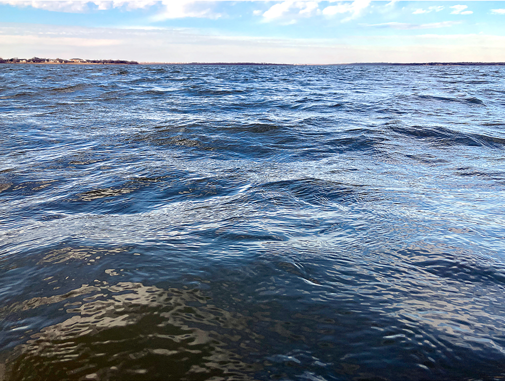
Above: Open blue water.
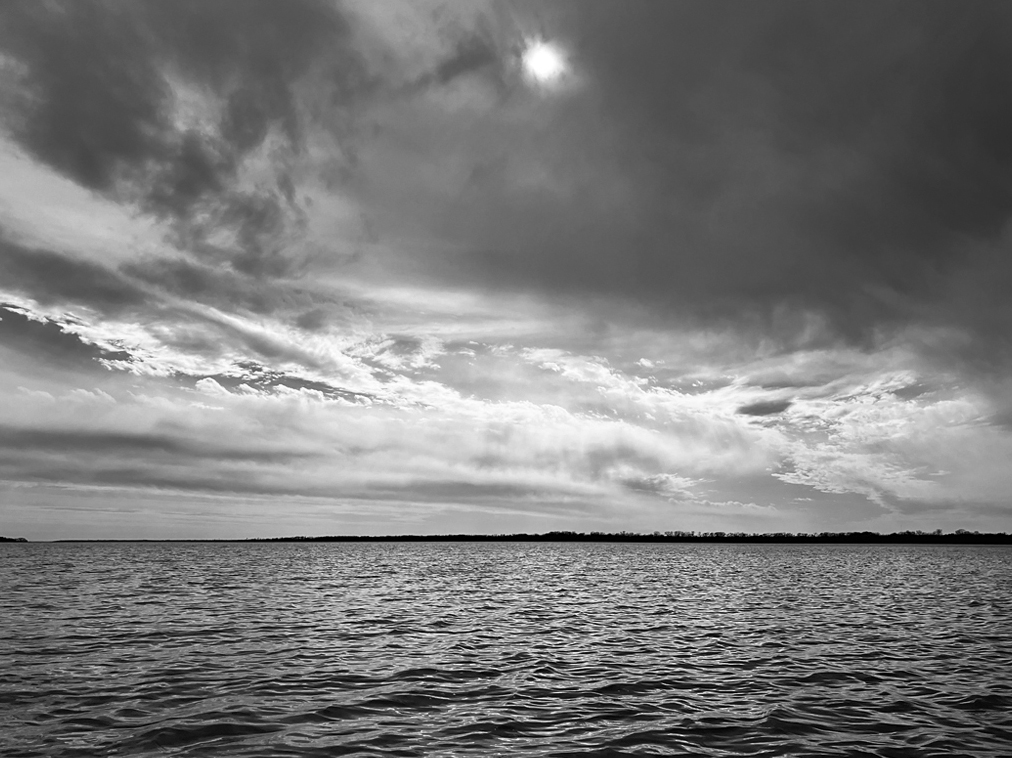
Above: In black and white.
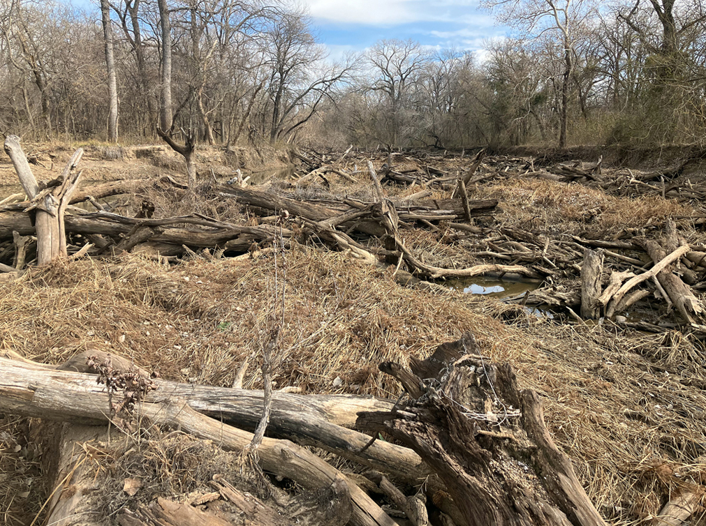
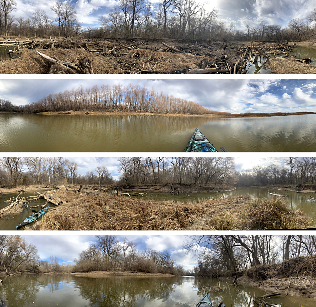
Above: Big log jam on the Elm Fork of the Trinity below 380.
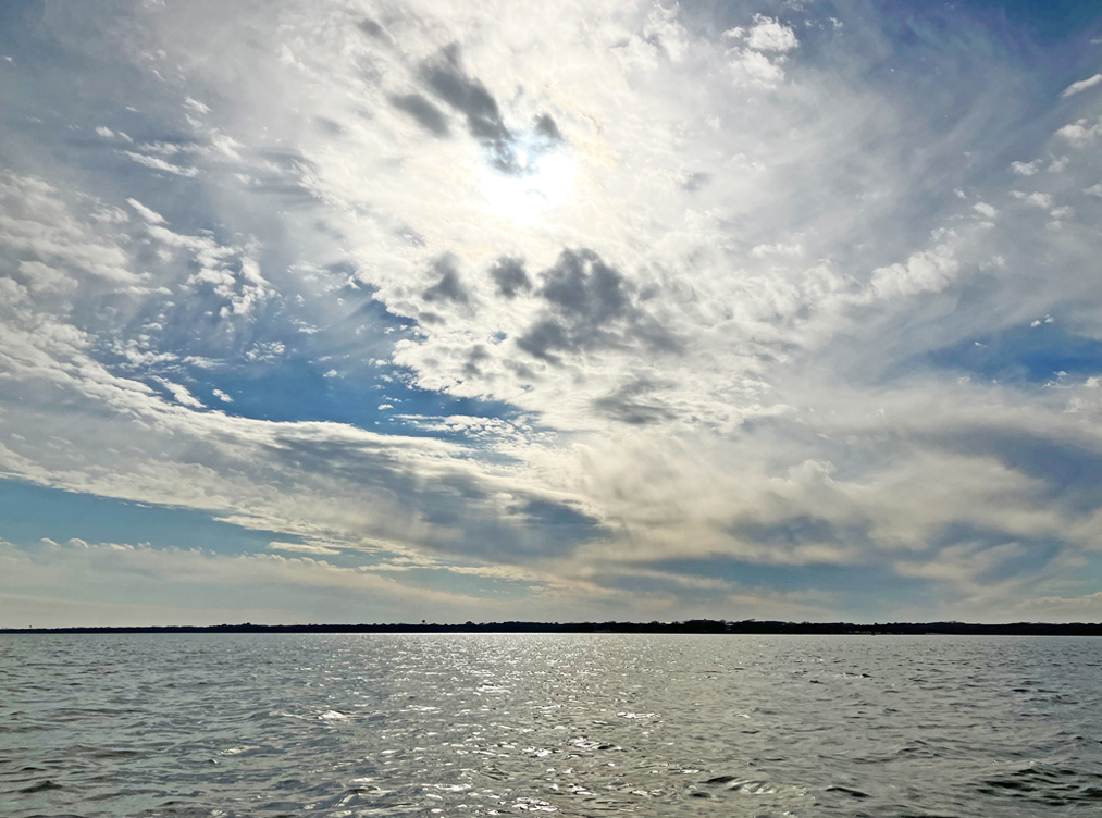
Above: In color.
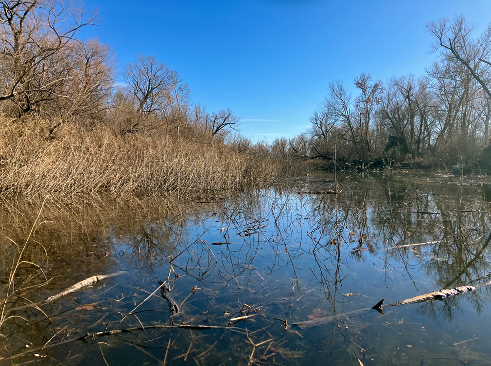
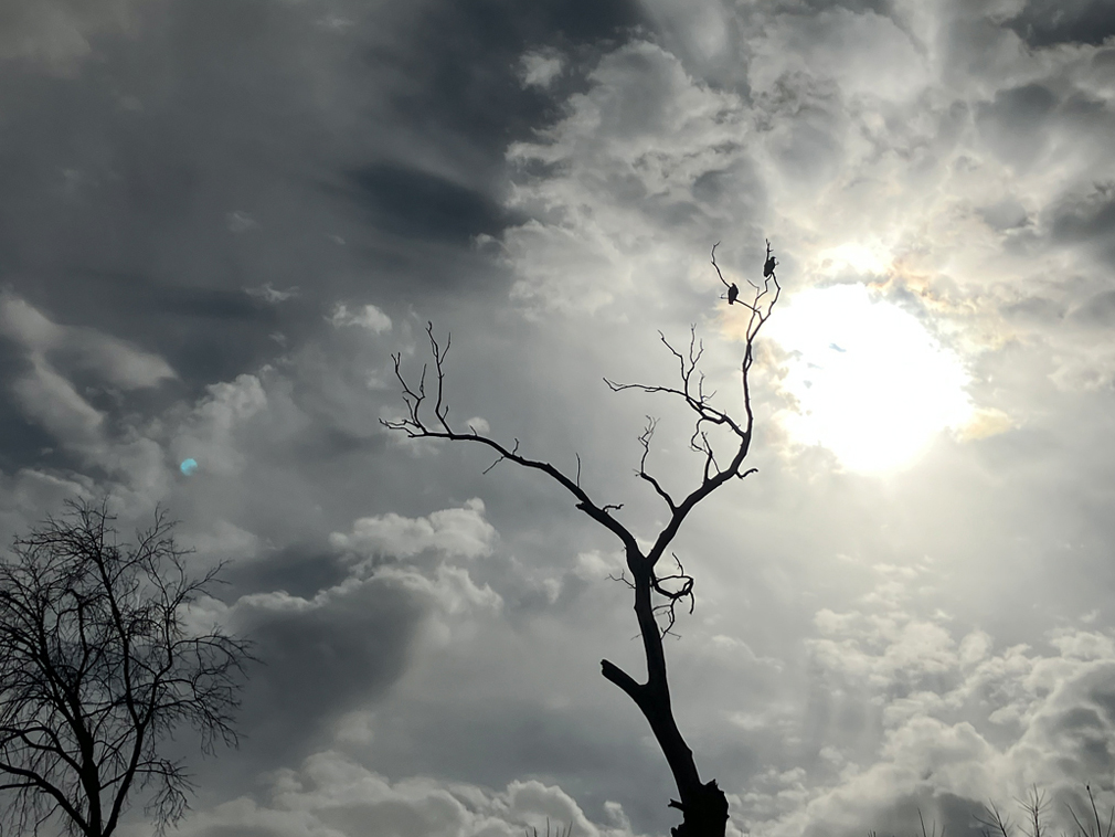
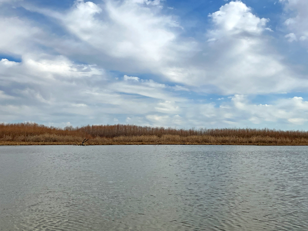
Above: Spooky.
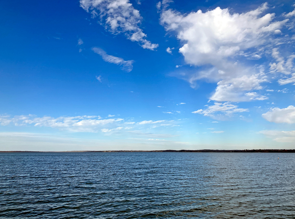
Above: Pretty calm day. There is a well known distance illusion when looking across water like this: it’s farther than you think.
