Lake of the Pines, Big Cypress Creek
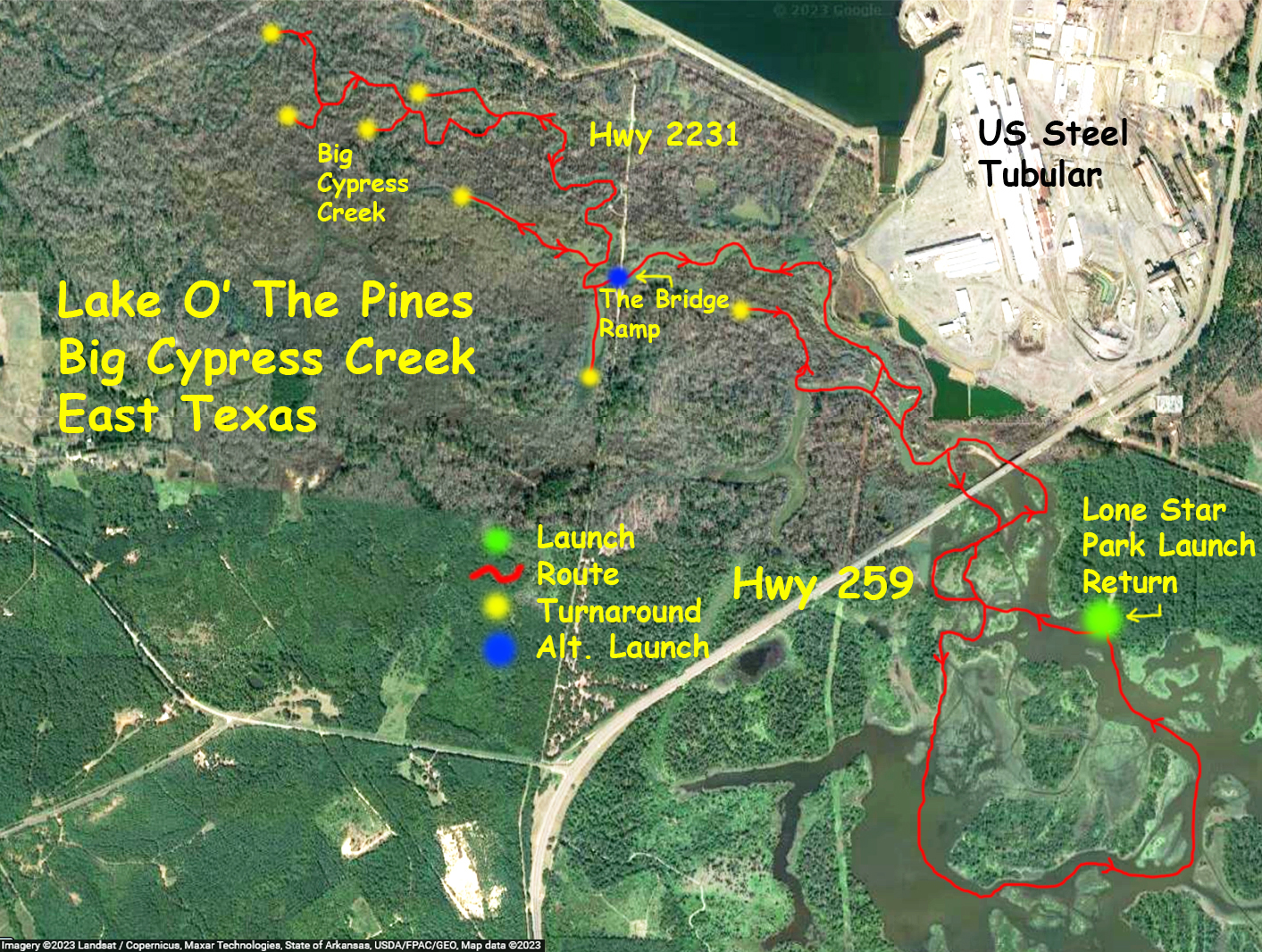
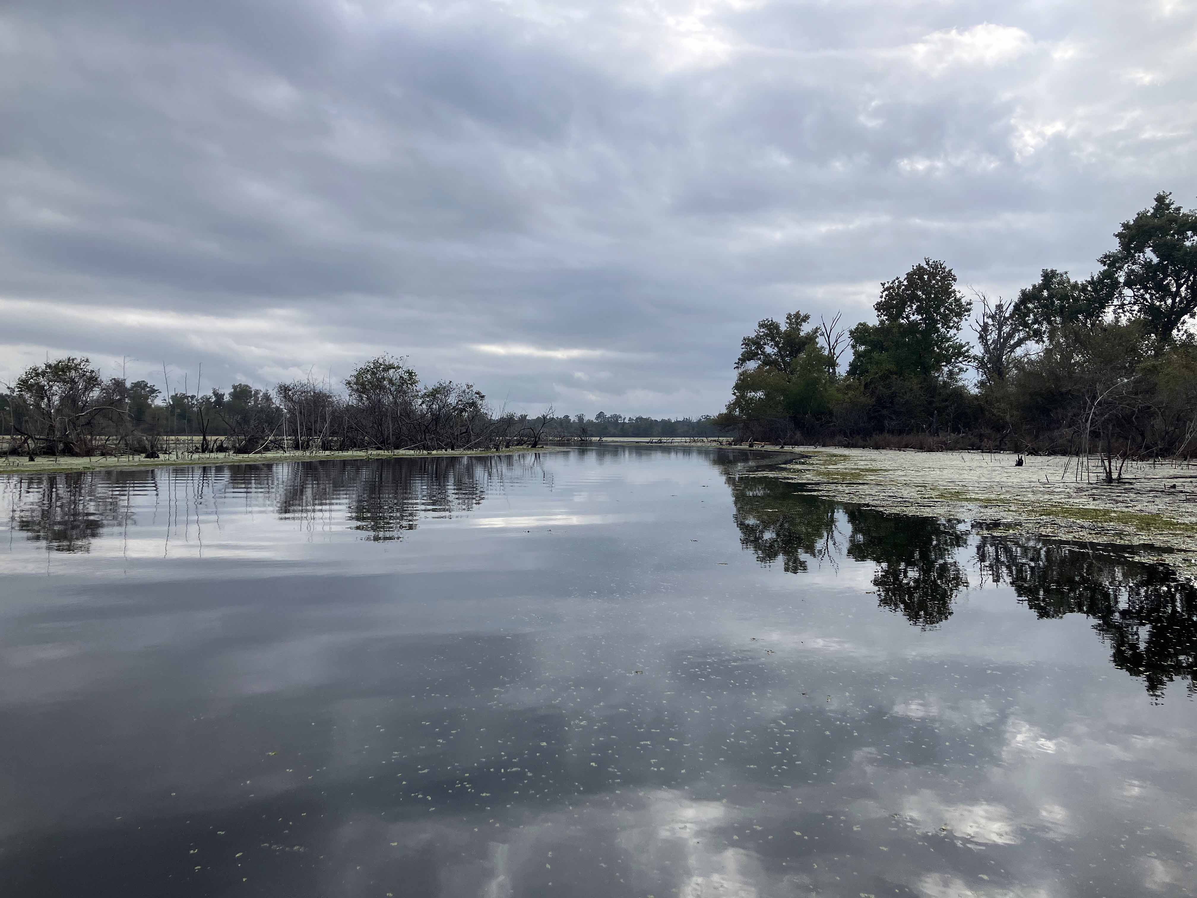
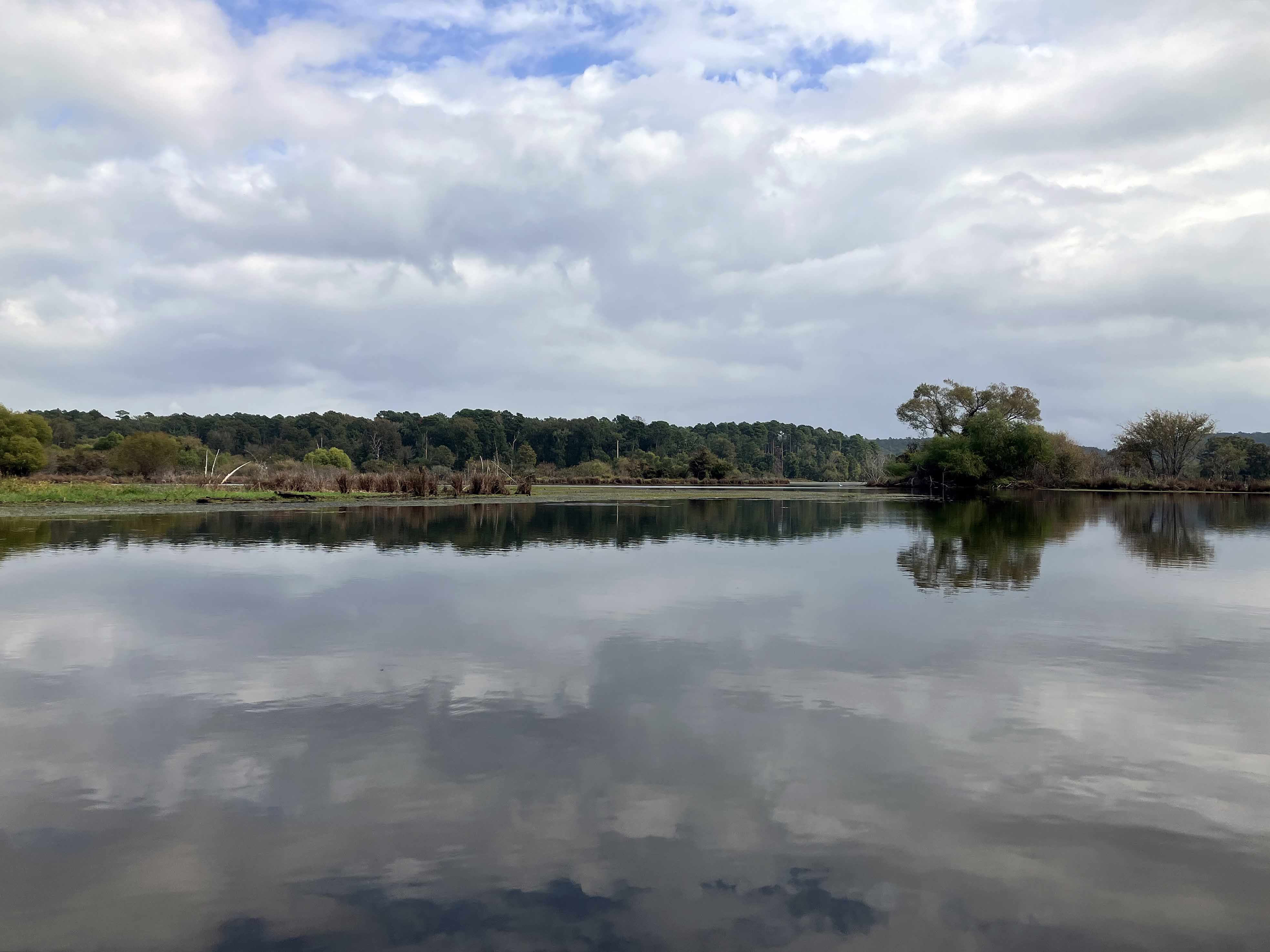
This paddle trail map launches at the northwestern end of Lake of the Pines at the Lone Star Park Launch. The trail heads up Big Cypress Creek and tries to explore all the various side branches. There are a lot of in and out, dead ends, channels, turnarounds and so there are a bunch of yellow dots on the map where I reversed direction. I thought I could go up the creek even further but it was a lot brushier and loggier paddle than I expected, and some work. The map shows there were quite a few exploratory out and backs to be investigated, each of which terminate with the yellow dot on the map. Upon returning the trail loops some islands in the lake before heading back to the launch site. Another separate trip launches at the same spot and circles the lower part of the lake.

Above: Couple of deer swimming across the lake! Best that could be done with the iphone.
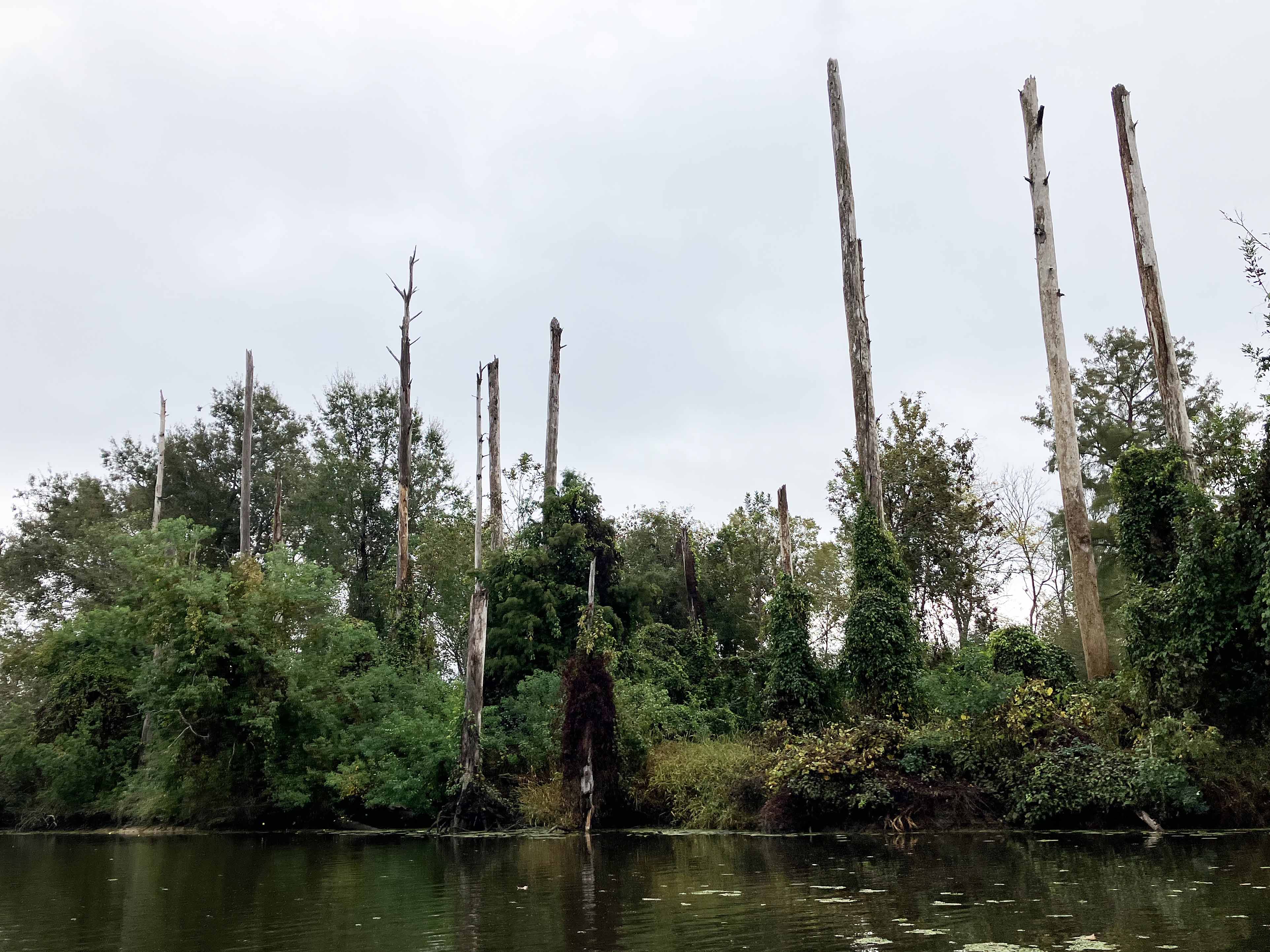
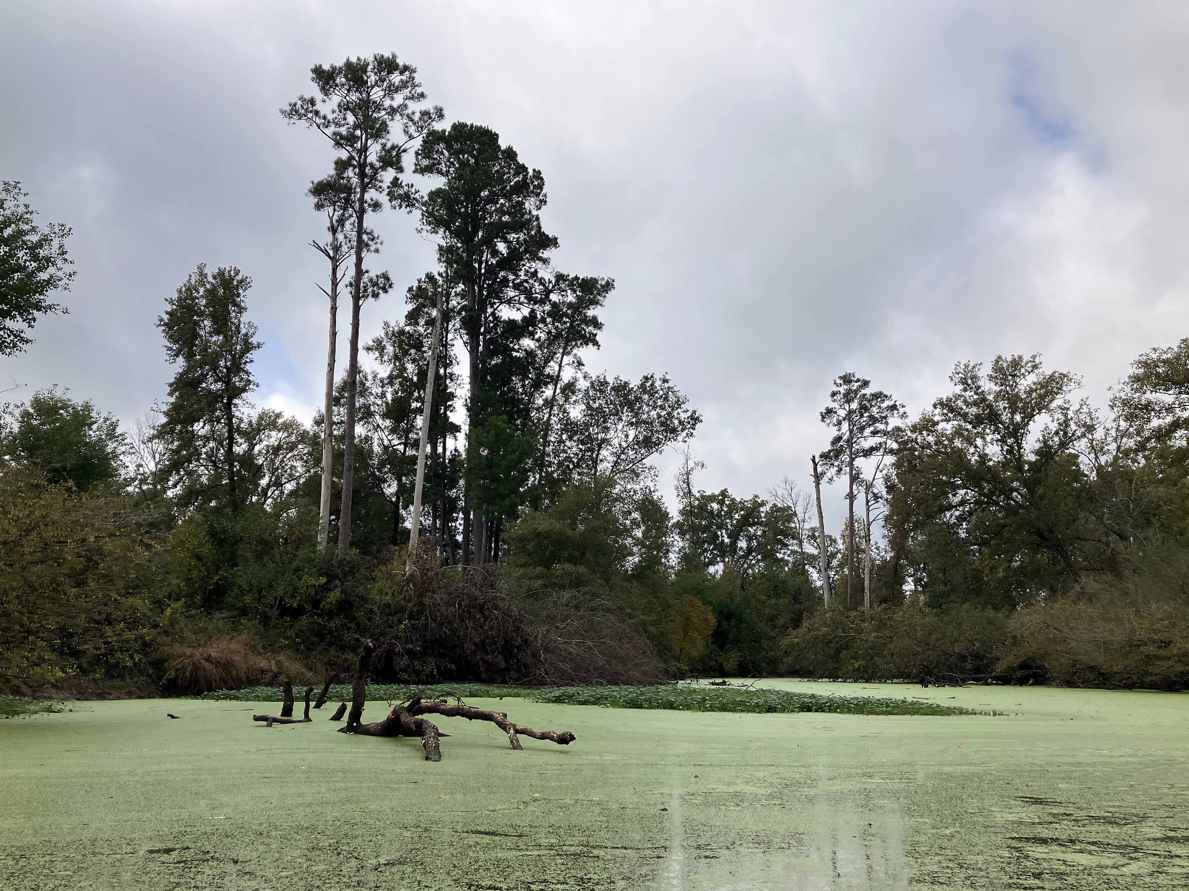

Above: There was more of this type of thing than I expected.
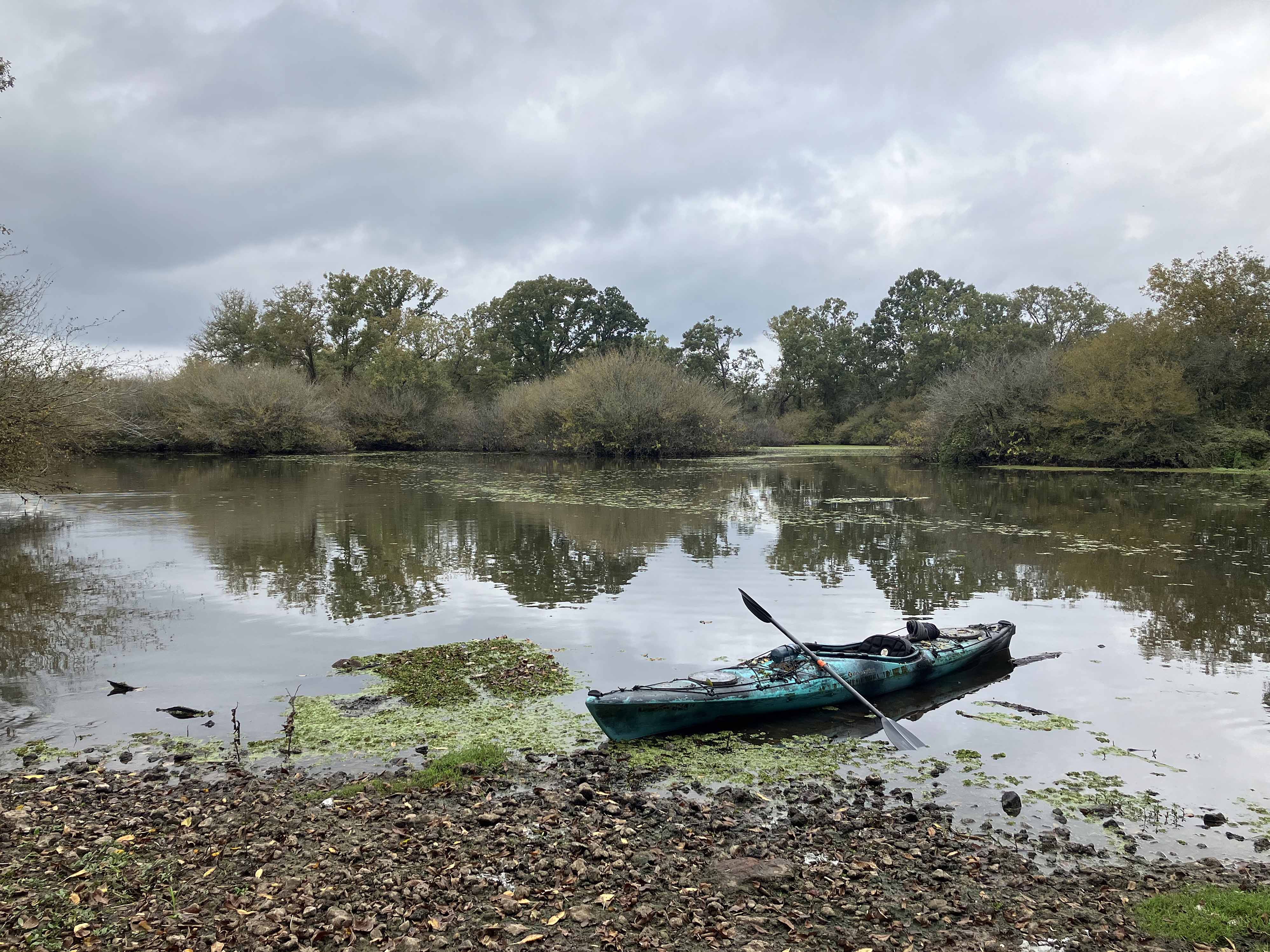
Above: Time for a break.