Little River, Millwood Lake, Arkansas C

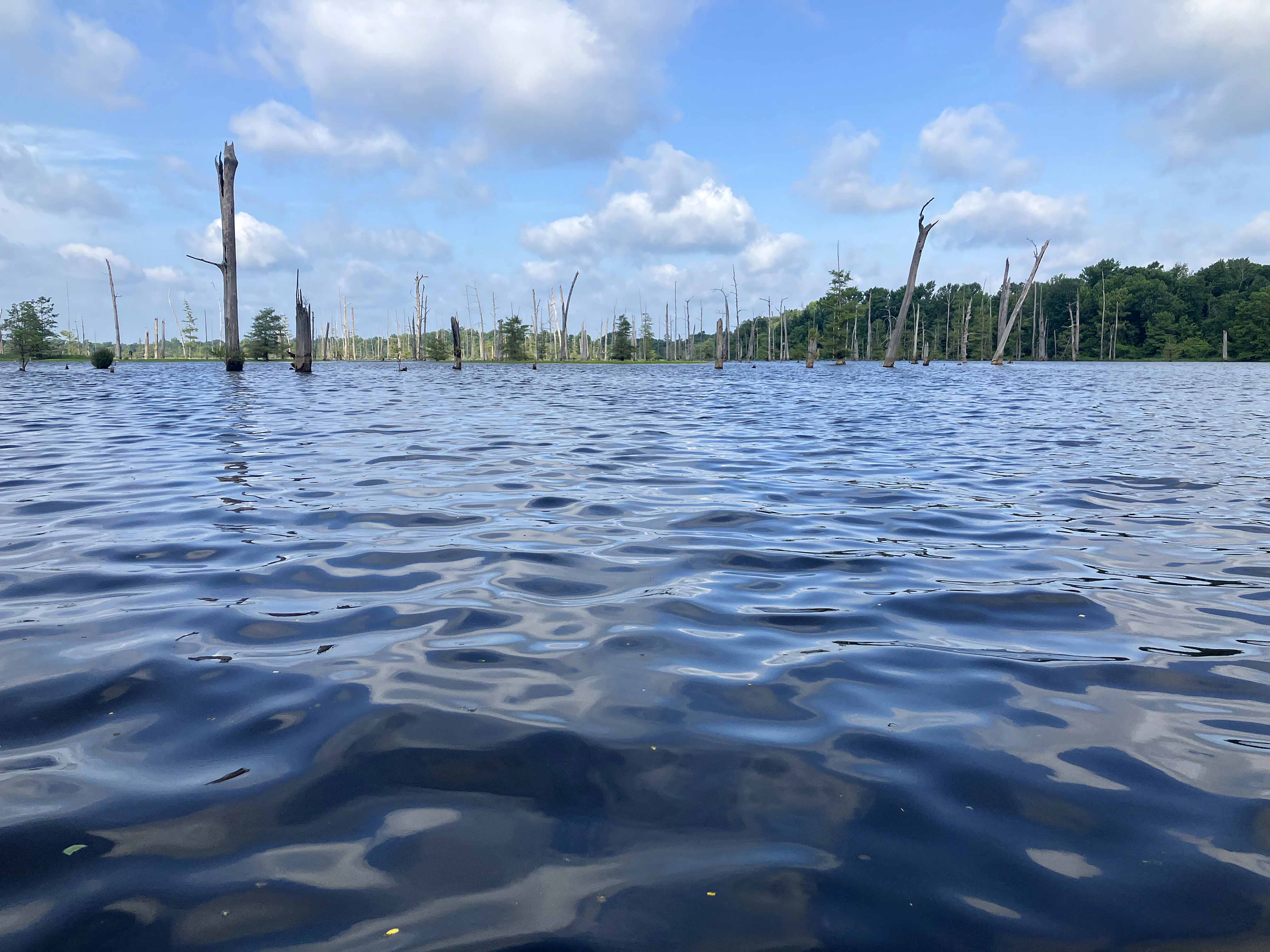
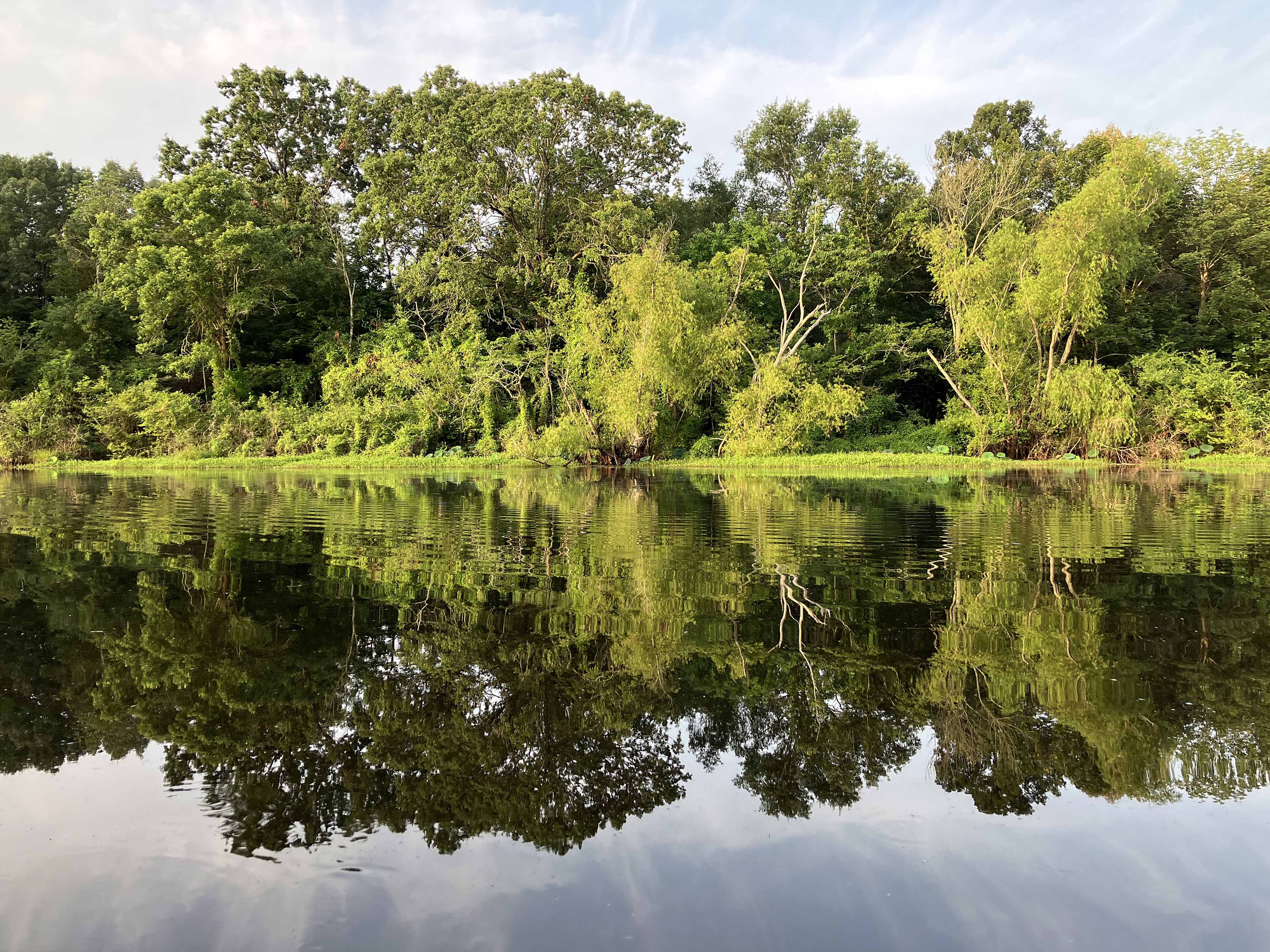
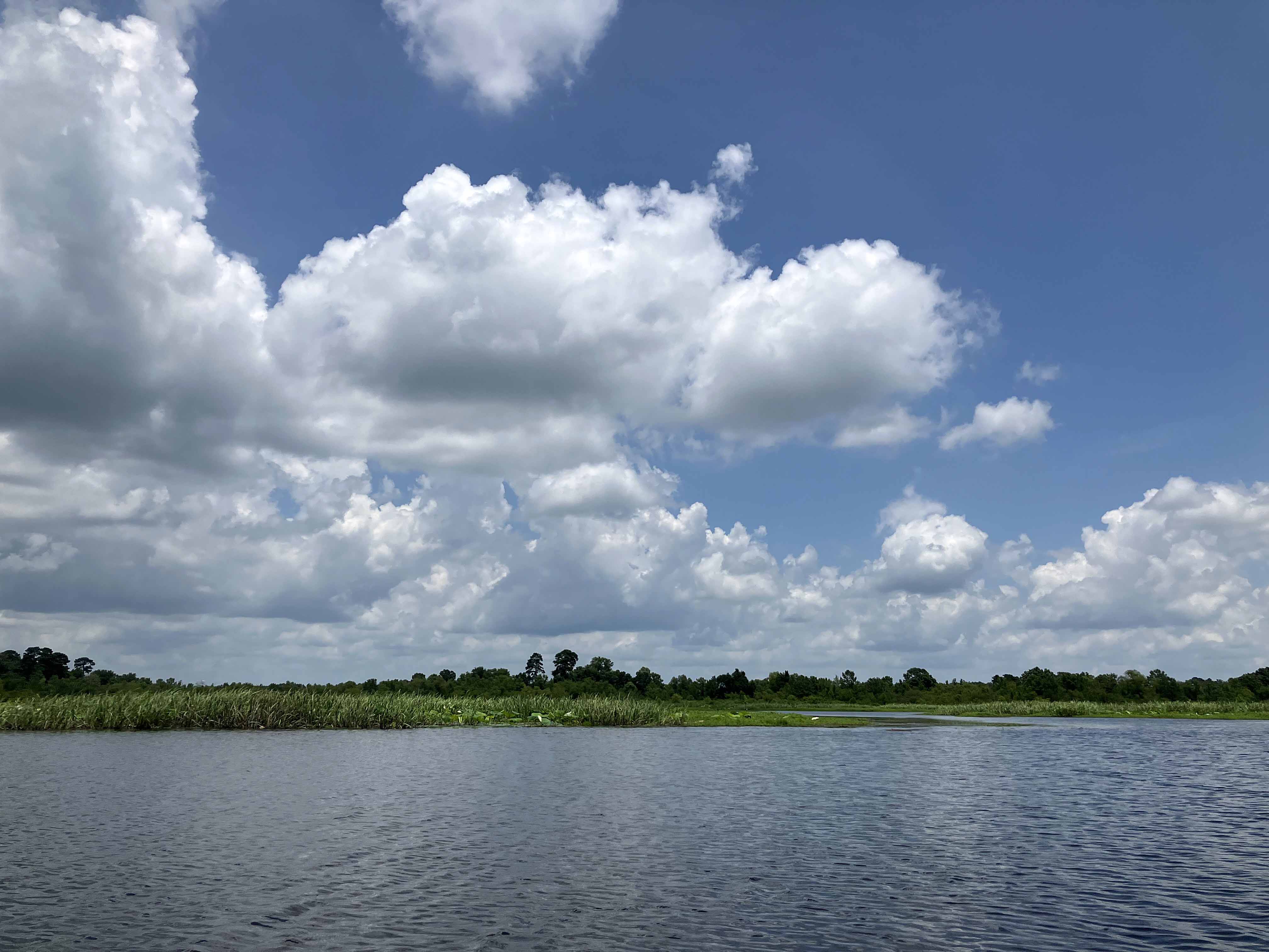
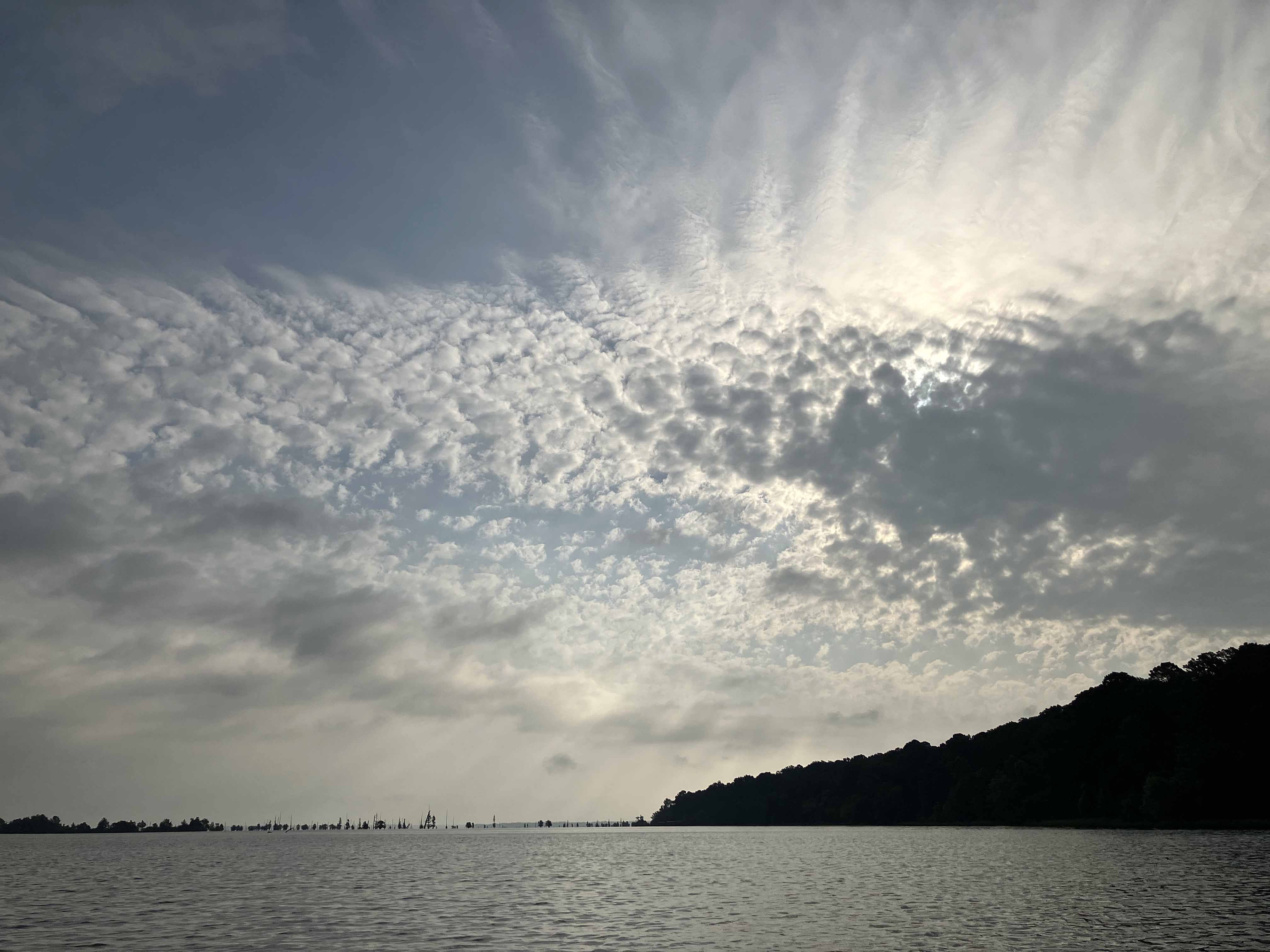
Another Little River/Millwood Lake kayak map launching from Yarborough Landing. This area continues to surprise. Here I took a long counterclockwise route (with a few turnarounds where I thought I could portage to shorten the trip but found there was too much brush to get to shore). The Little RIver and Millwood Lake areas seem to have more stable water levels than say Upper Ouachita, which can get flooded hard. Maybe this is why it seems so lush. As always there are some surface vegetation blockage issues, as can be seen by the green splotches on the satellite map above, but overall…awesome. The pictures speak for themselves.
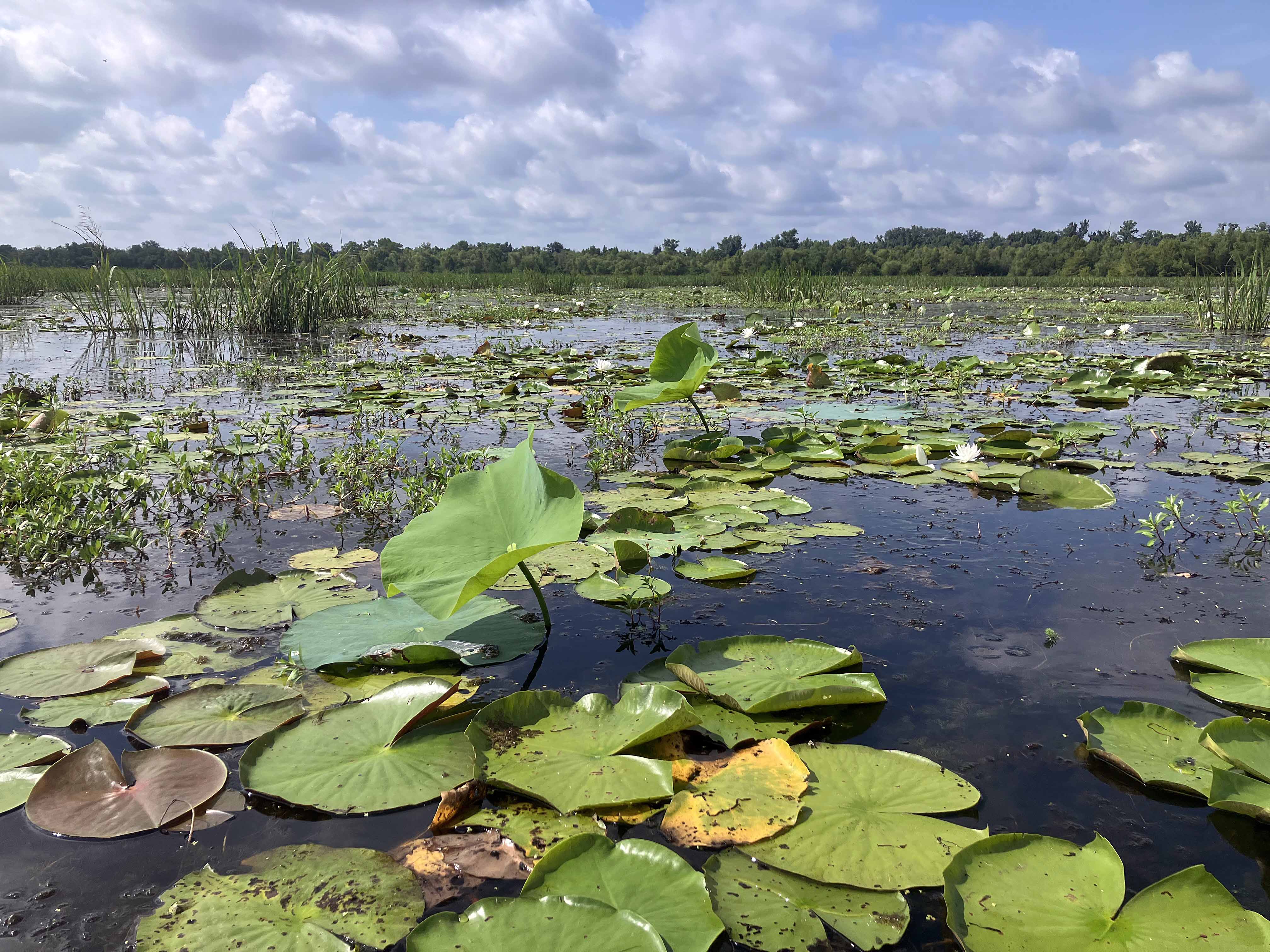
Above: Incredible morning launch.
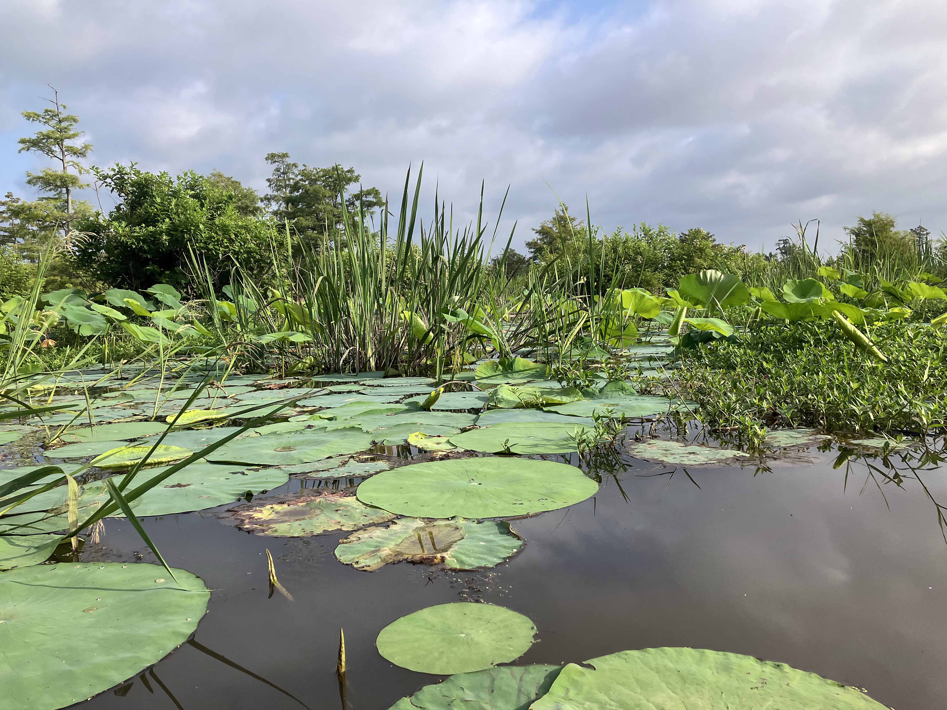
Above: Green and lush.
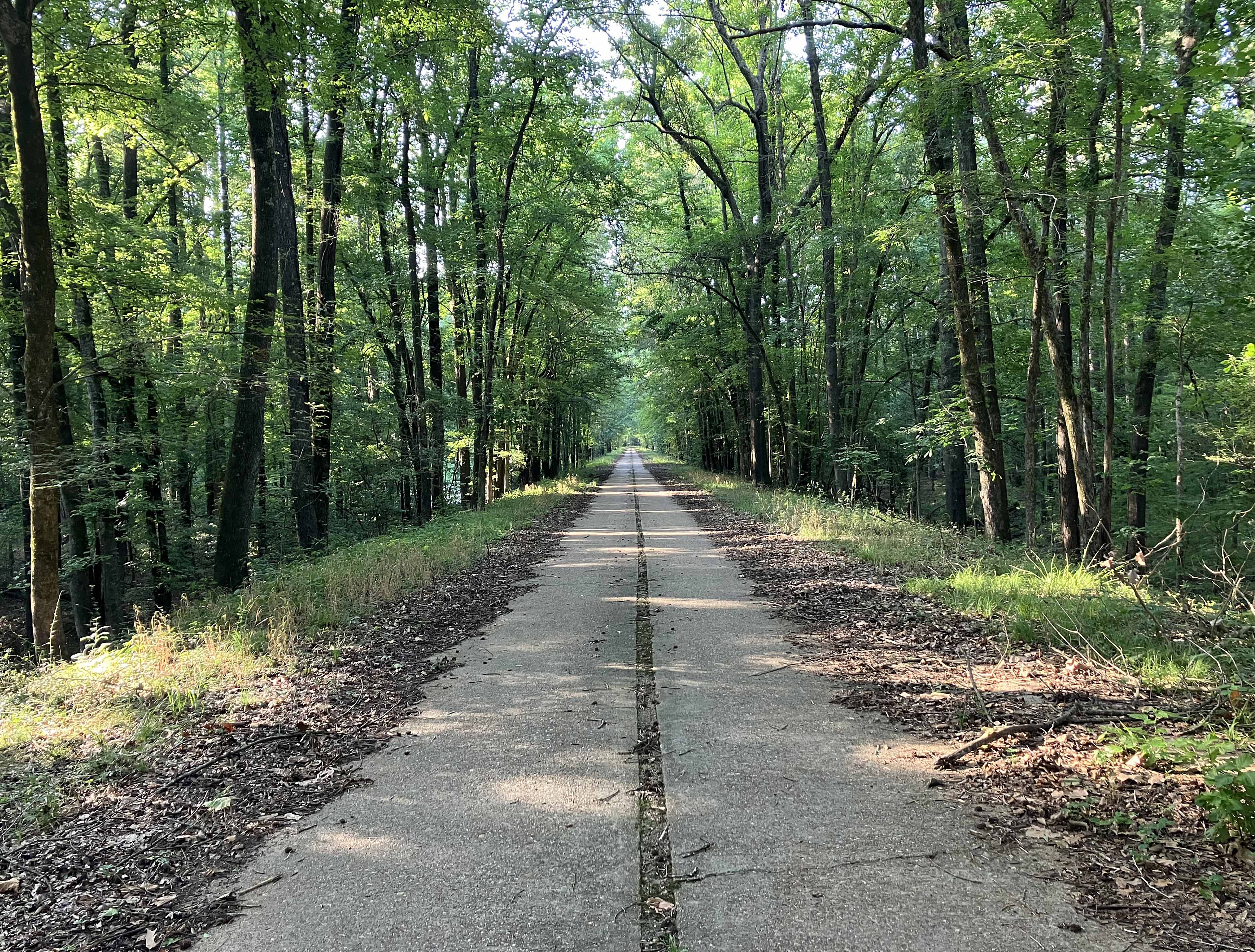
Above: Long single lane road to Cahoots Springs.
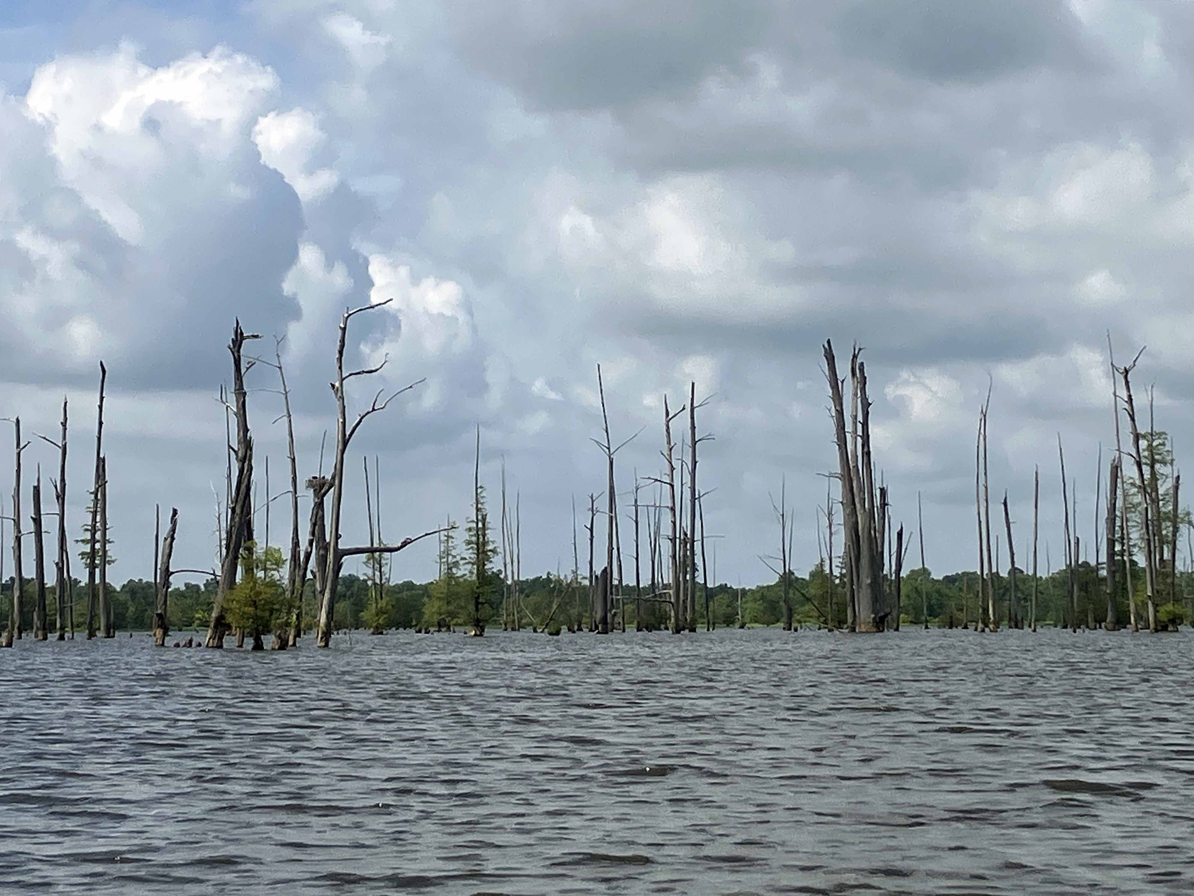

Above: Out on the Millwood Lake.