McGee Creek NSRA Oklahoma
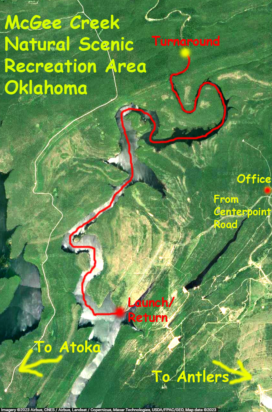
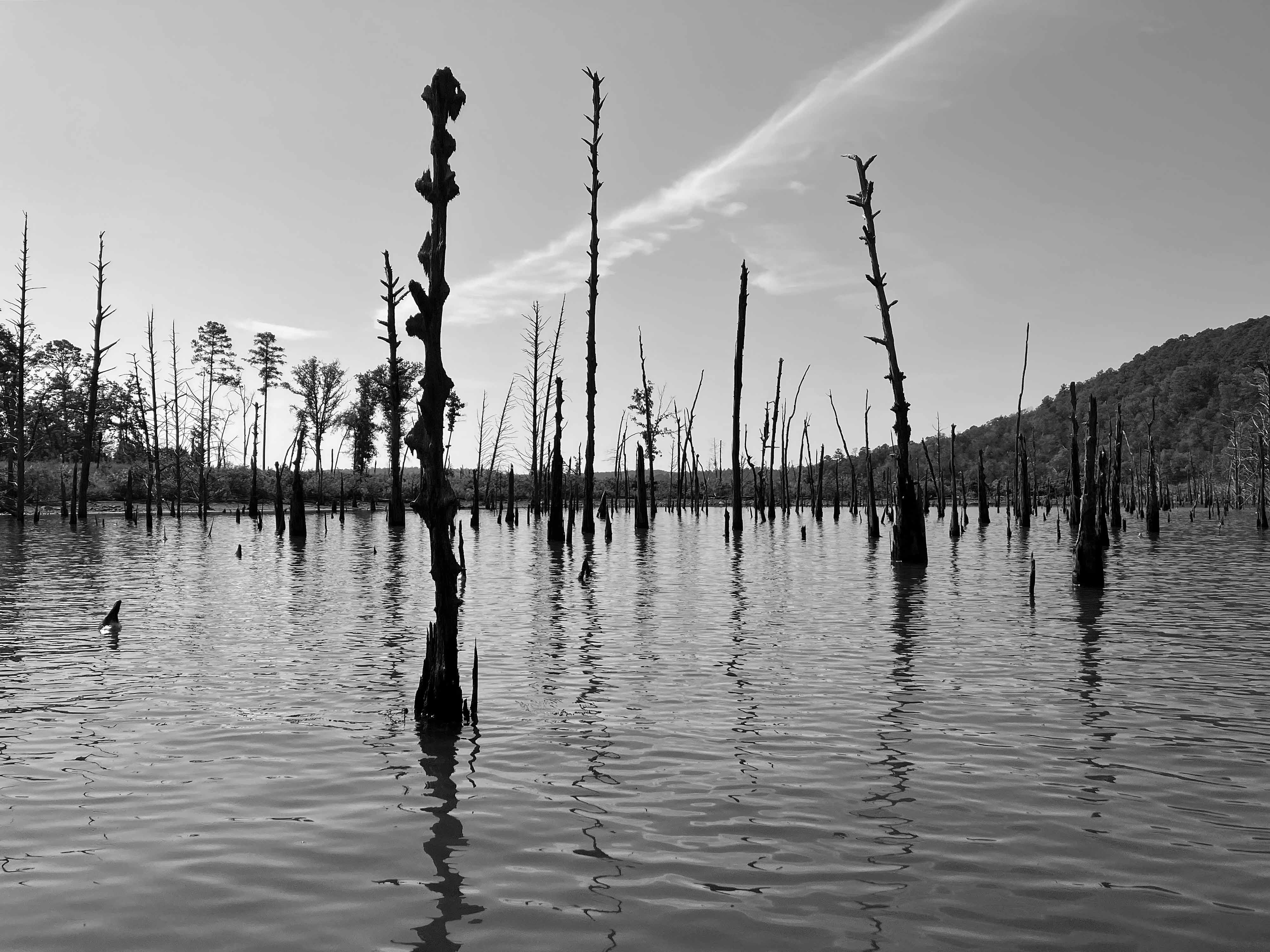
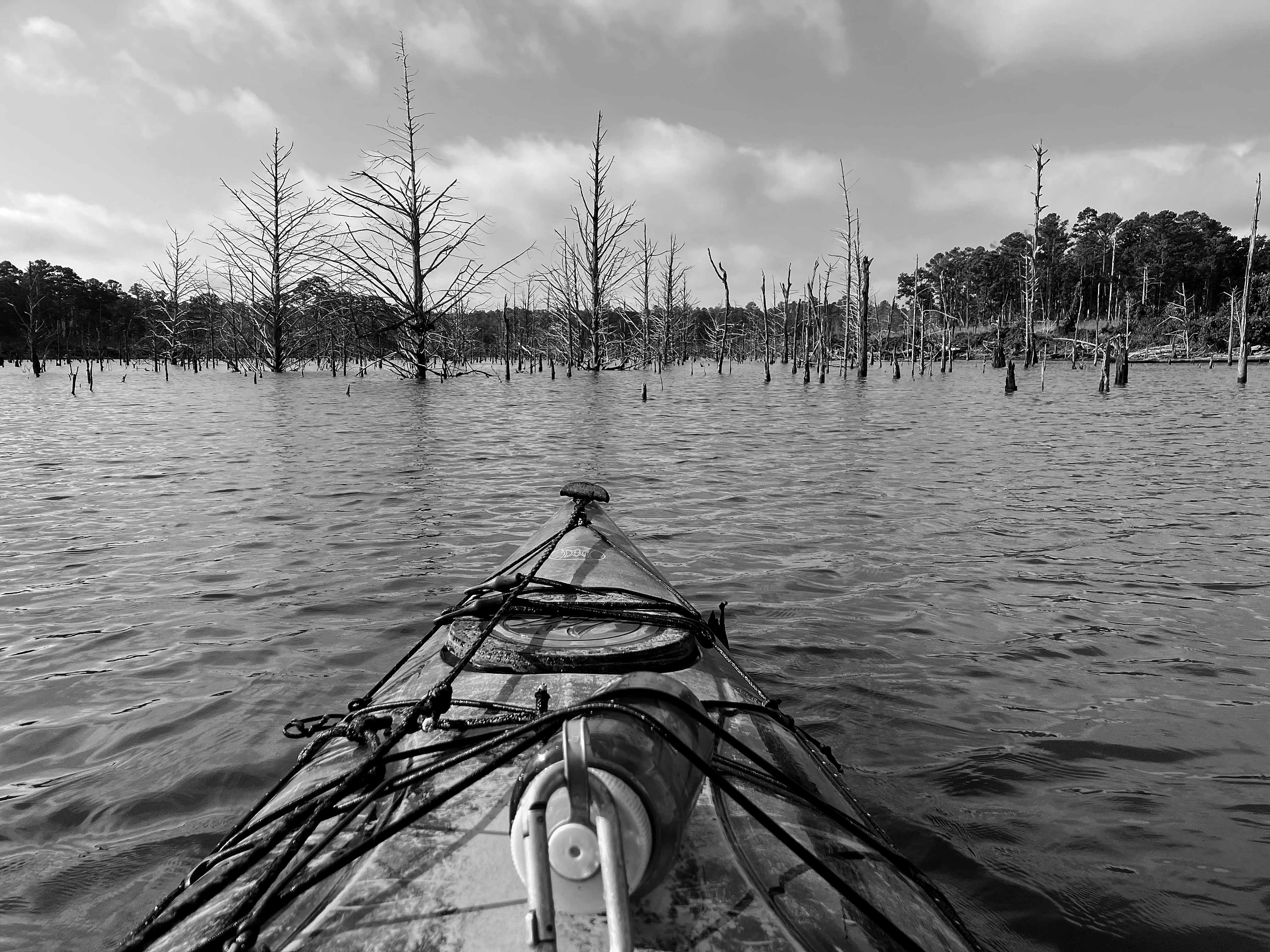
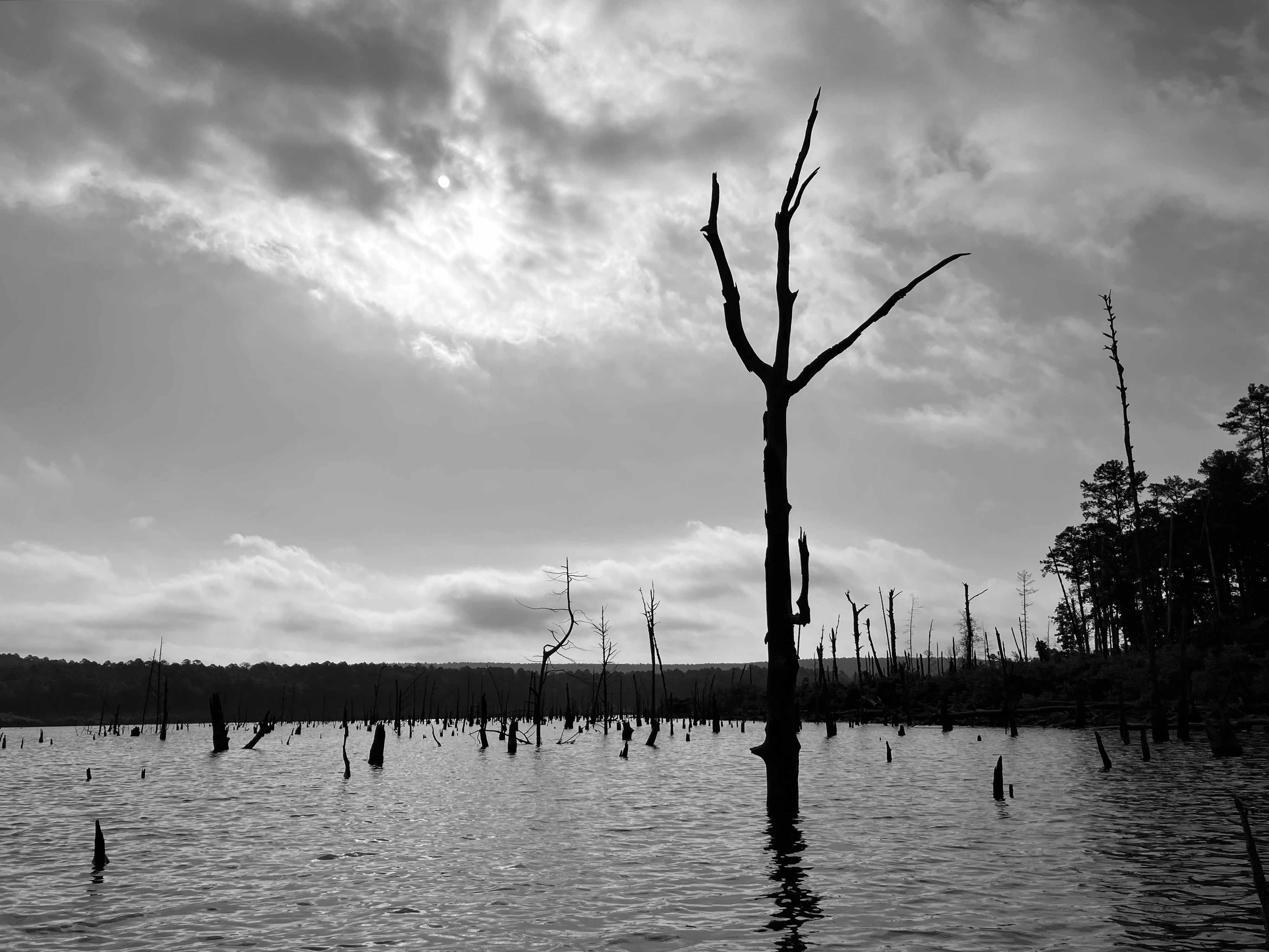
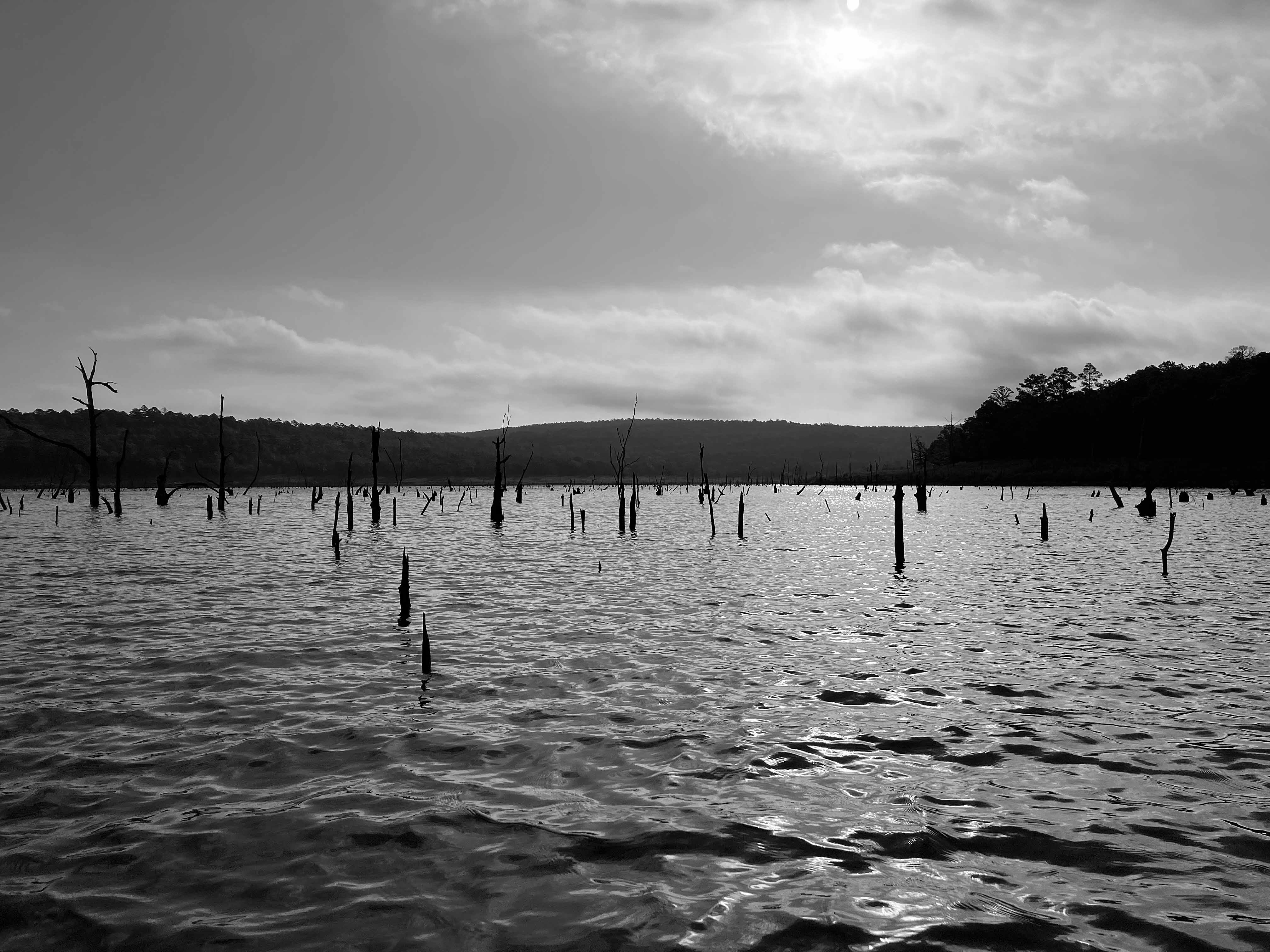
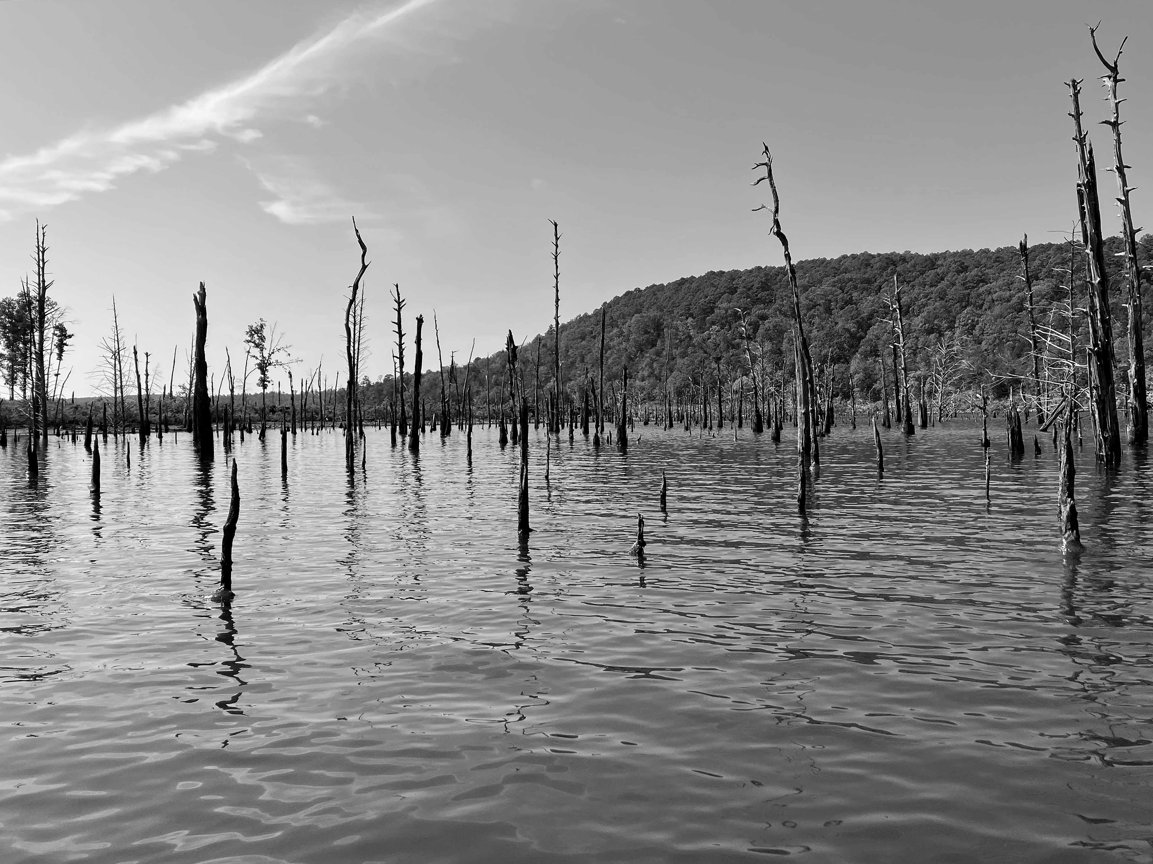
McGee Creek Lake, or Reservoir, in Oklahoma, is between Atoka and Antlers. It is divided into two halves, east and west, by a southward projecting peninsula. The above map shows a kayak trip on the east side of the lake, in the McGee Creek Natural (not National) Scenic Recreation Area (NRSA). The launch is found by taking Centerpoint Road off of Highway 3, which runs between Atoka and Antlers. Centerpoint Road goes north about 10 miles to a park station with restrooms, but slightly before that there is a junction going west which actually leads to the launch site. This place is remote and lonely, do not make a mistake here. You can paddle up McGee Creek Lake to the turnaround point shown on the map above, but you can’t go further. Its all flatwater paddling, isolated, and the lake is filled with old trees that can hang you up without notice. Which can be interesting once you get used to it. The pictures below give a pretty good idea of how it is. There are also some primitive hiking trails here which are rather nice. Beautiful place, and remote.
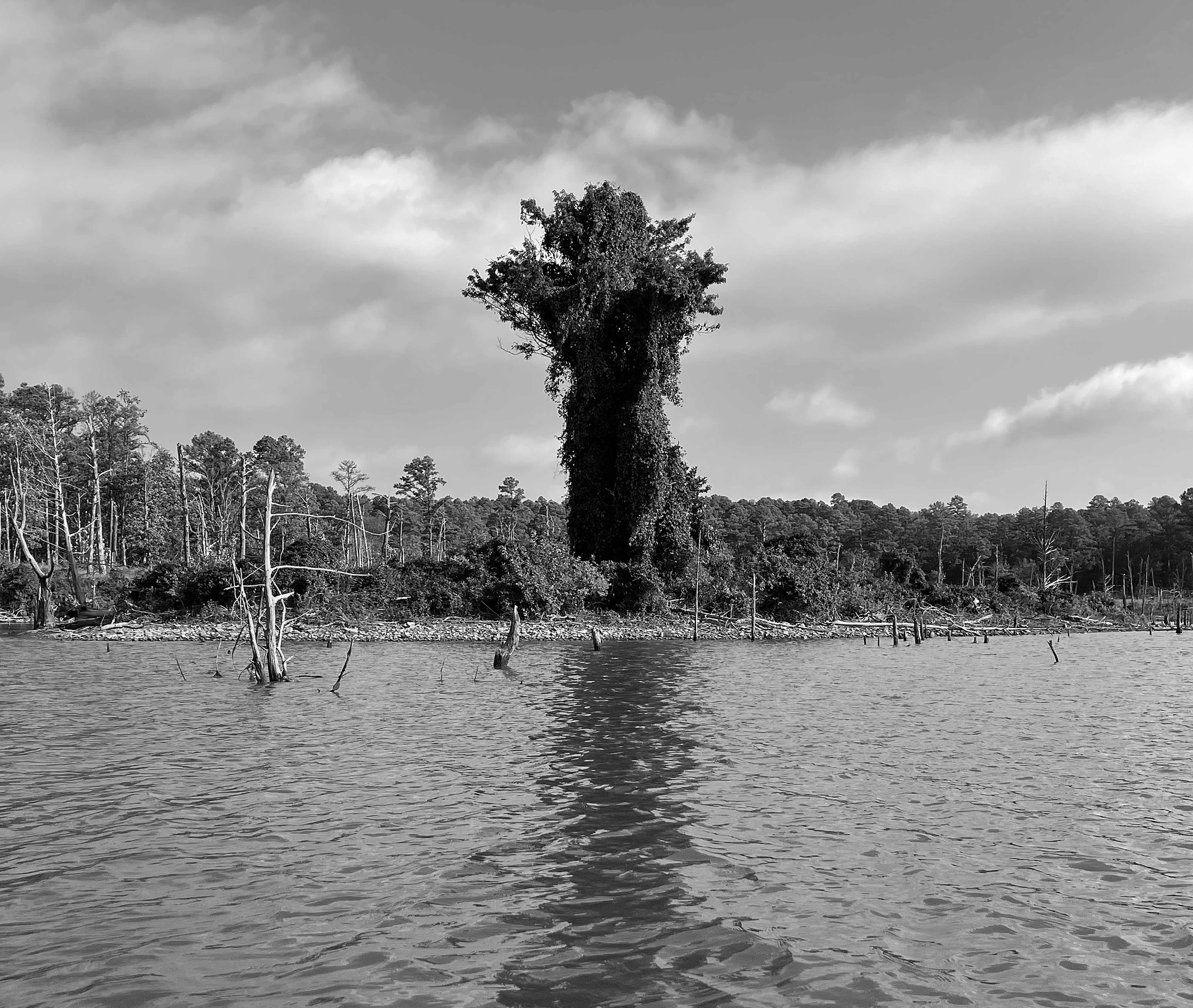
Above: Huge vine creature, “Vinezilla”, outstanding.
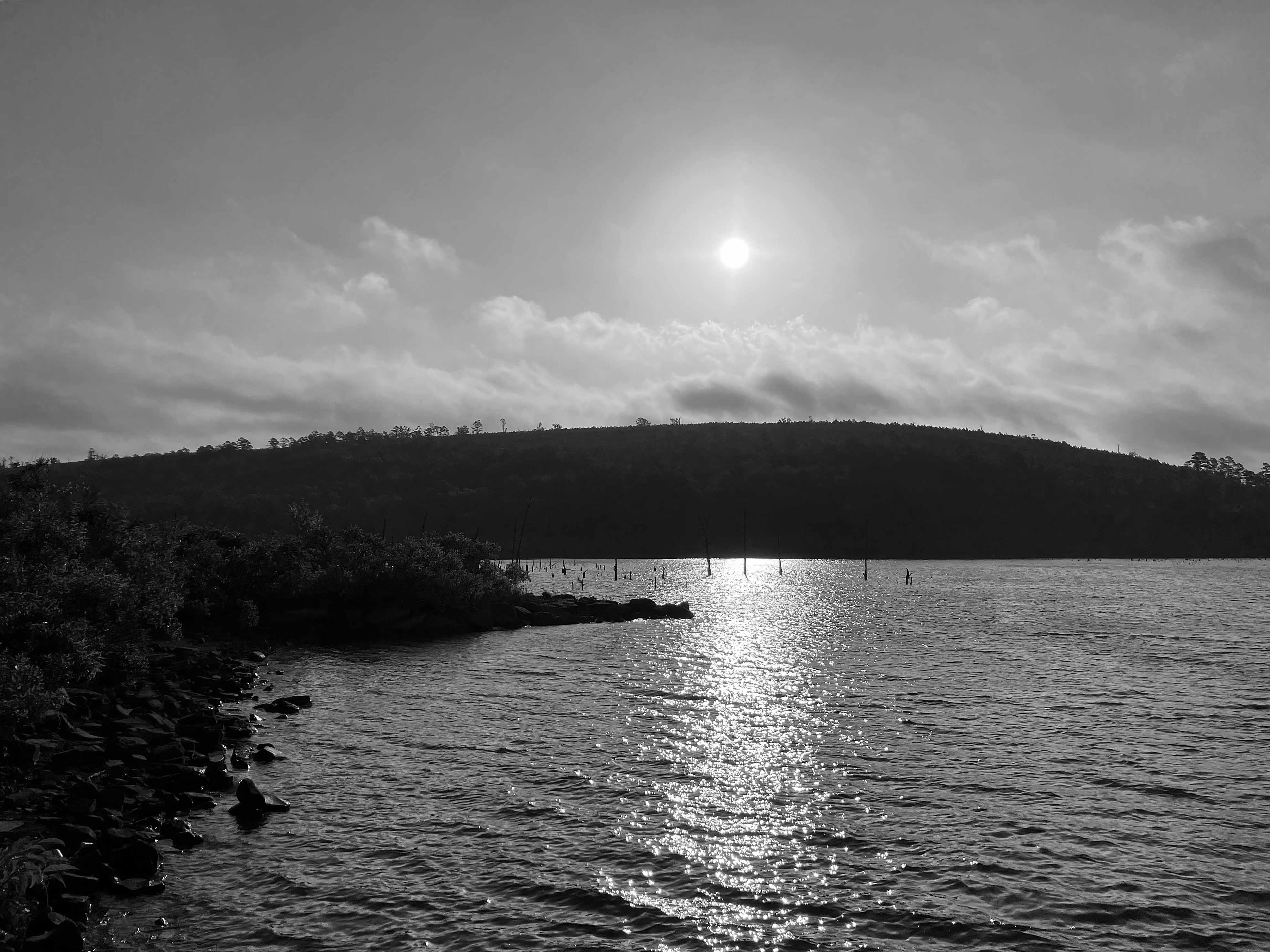
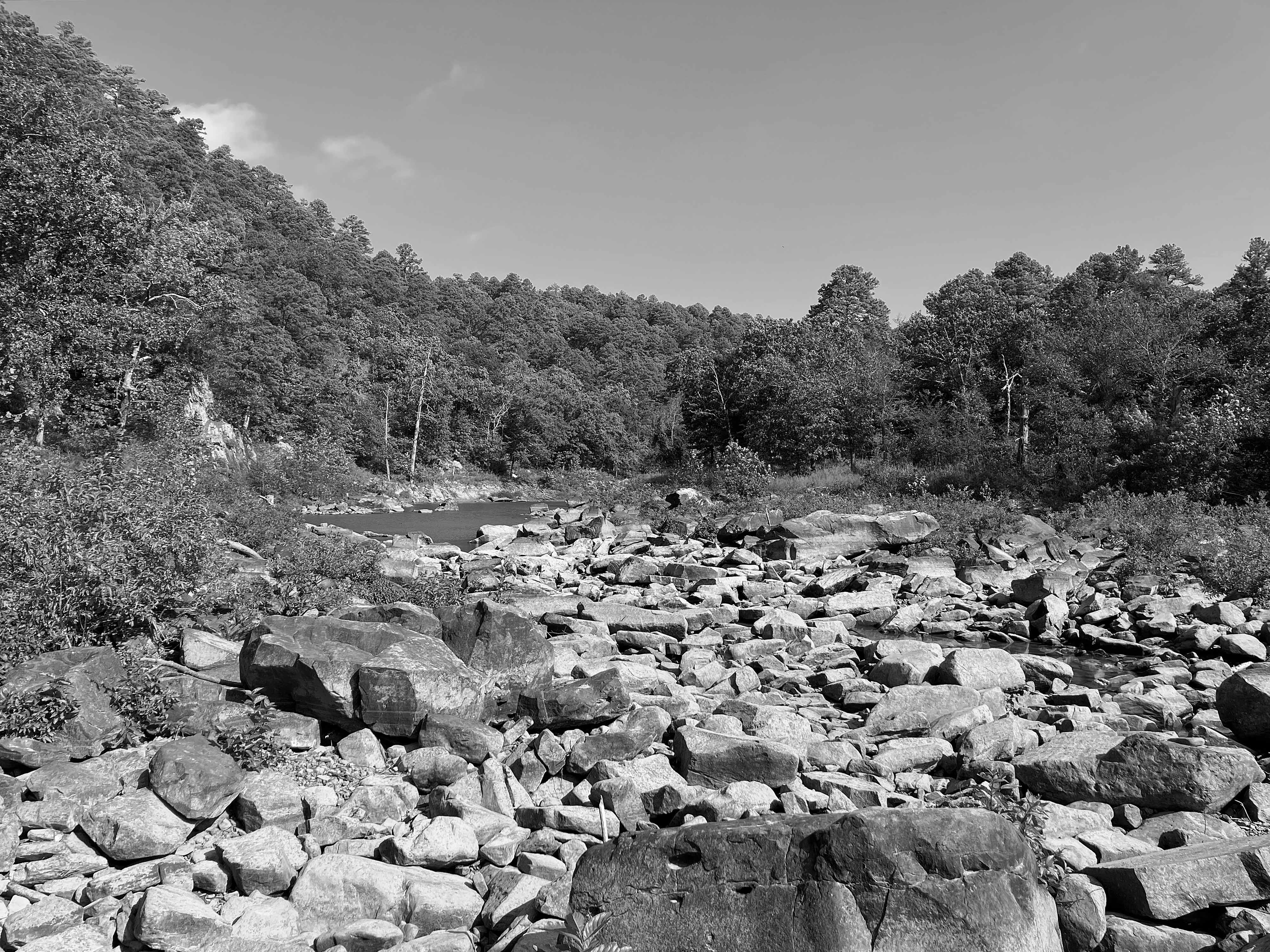
Above: Turnaround point where lake suddenly turns to creek.