Pat Mayse Lake, Lamar Point

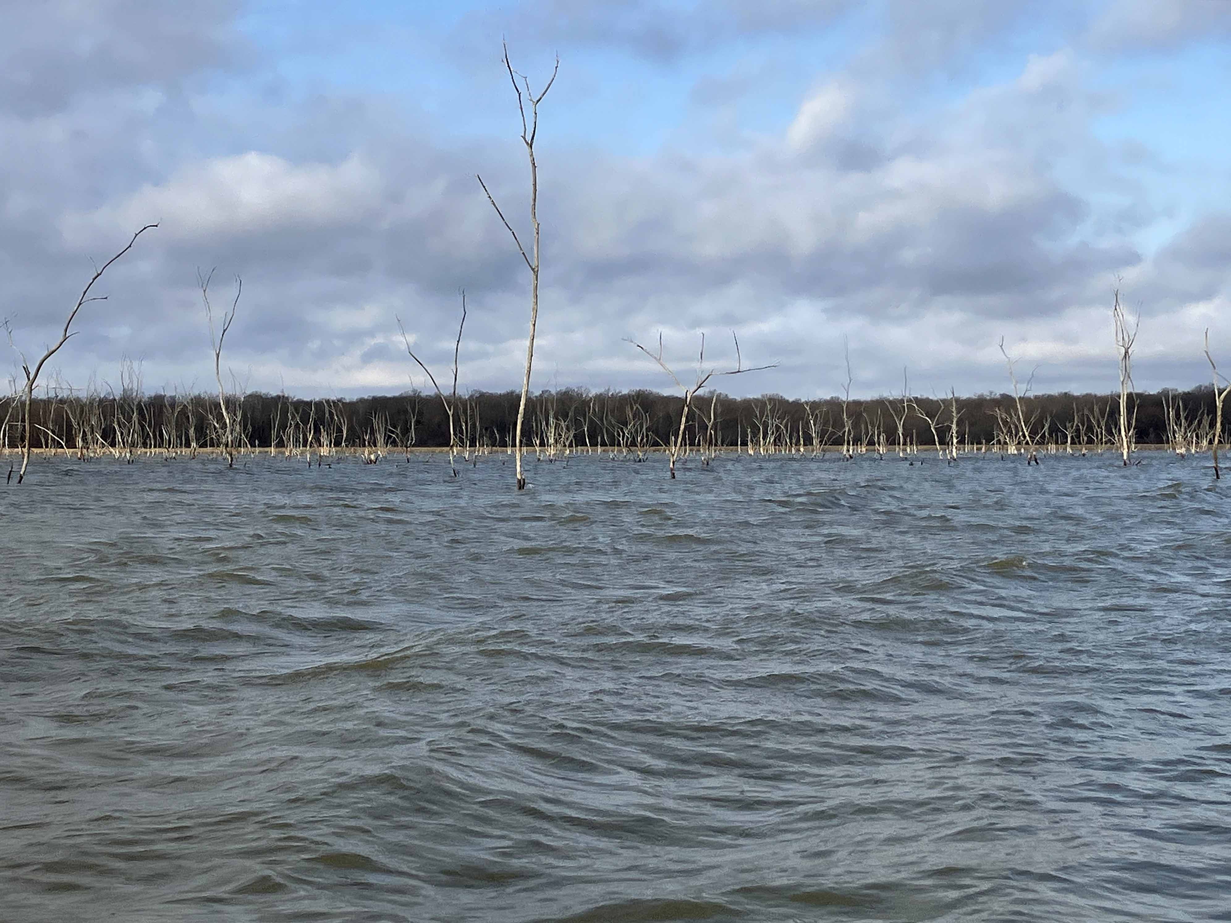
Pat Mayse Lake is approximately 10 miles north/northwest of Paris, Texas and a couple miles south of the Texas-Oklahoma border. It is surrounded on the west side by the Pat Mayse WMA. The launch for this trip was at Lamar Point, off of 1500 which shoots directly north. There is another possible launch at Clay Bluff which the route passes by (see map). The goal was to explore the lake a bit, find the mouth of Sanders Creek, go up into the WMA area, and return to the launch. I managed to make it up Sanders Creek past 1499, set a google pin (shown by the yellow dot on the map), and paddle back. The most notable feature of this trip was the incredible sky, as seen in some of the pictures below; the stream was pretty typical, muddy with some logjams.
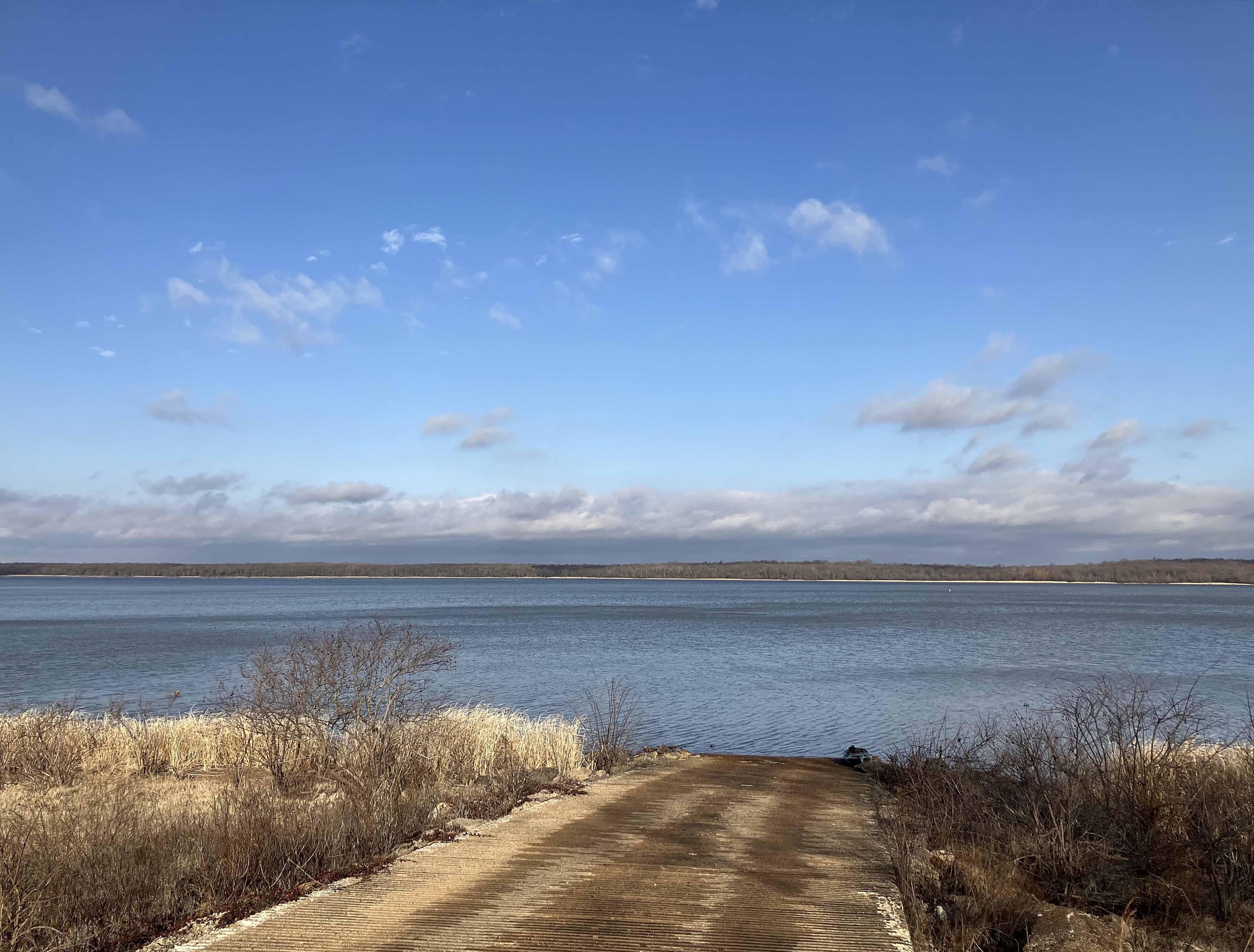
Above: The Lamar Point launch site. Beautiful, wide open lake.
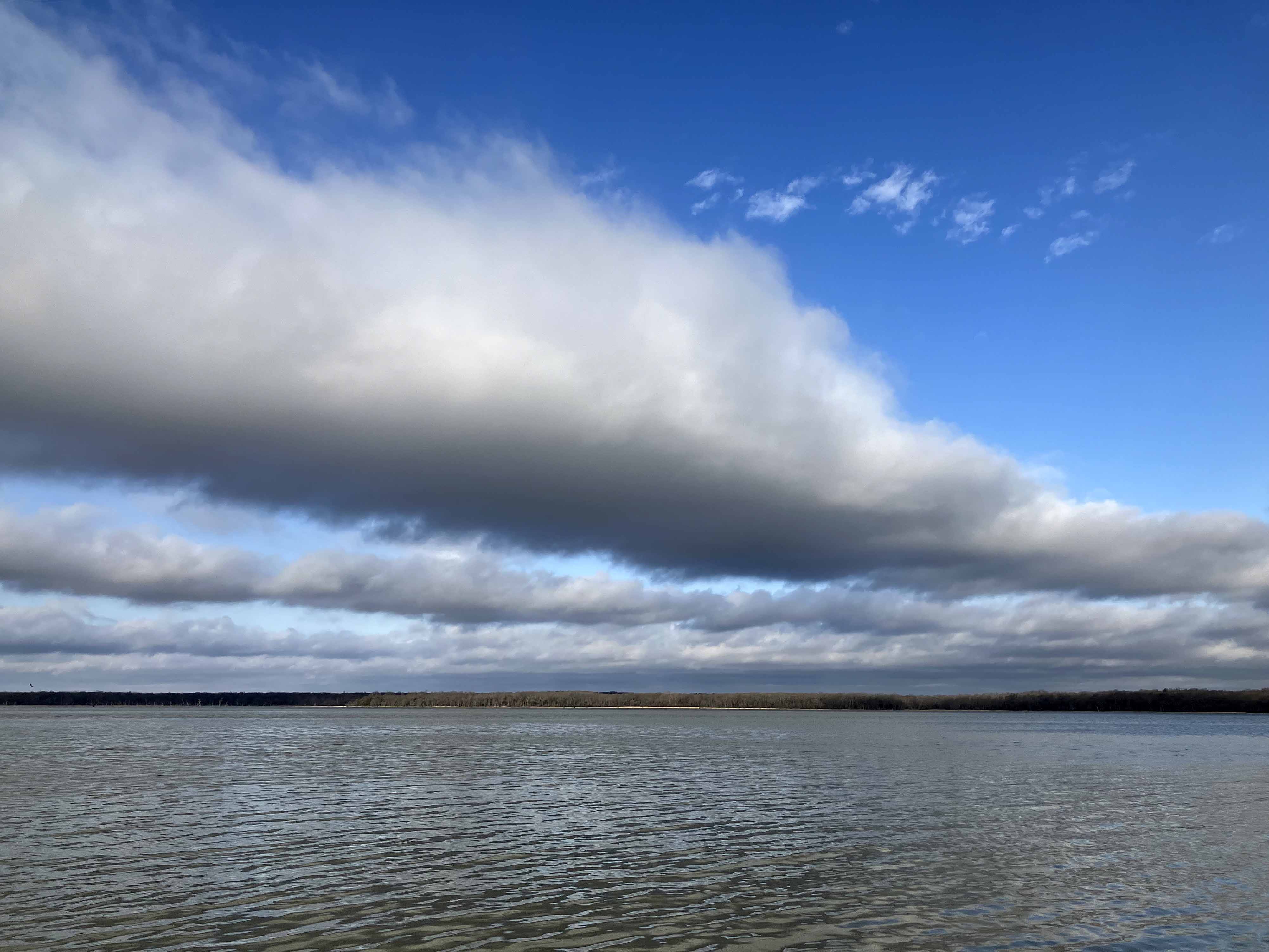
Above: Layered cloud formations over the lake.
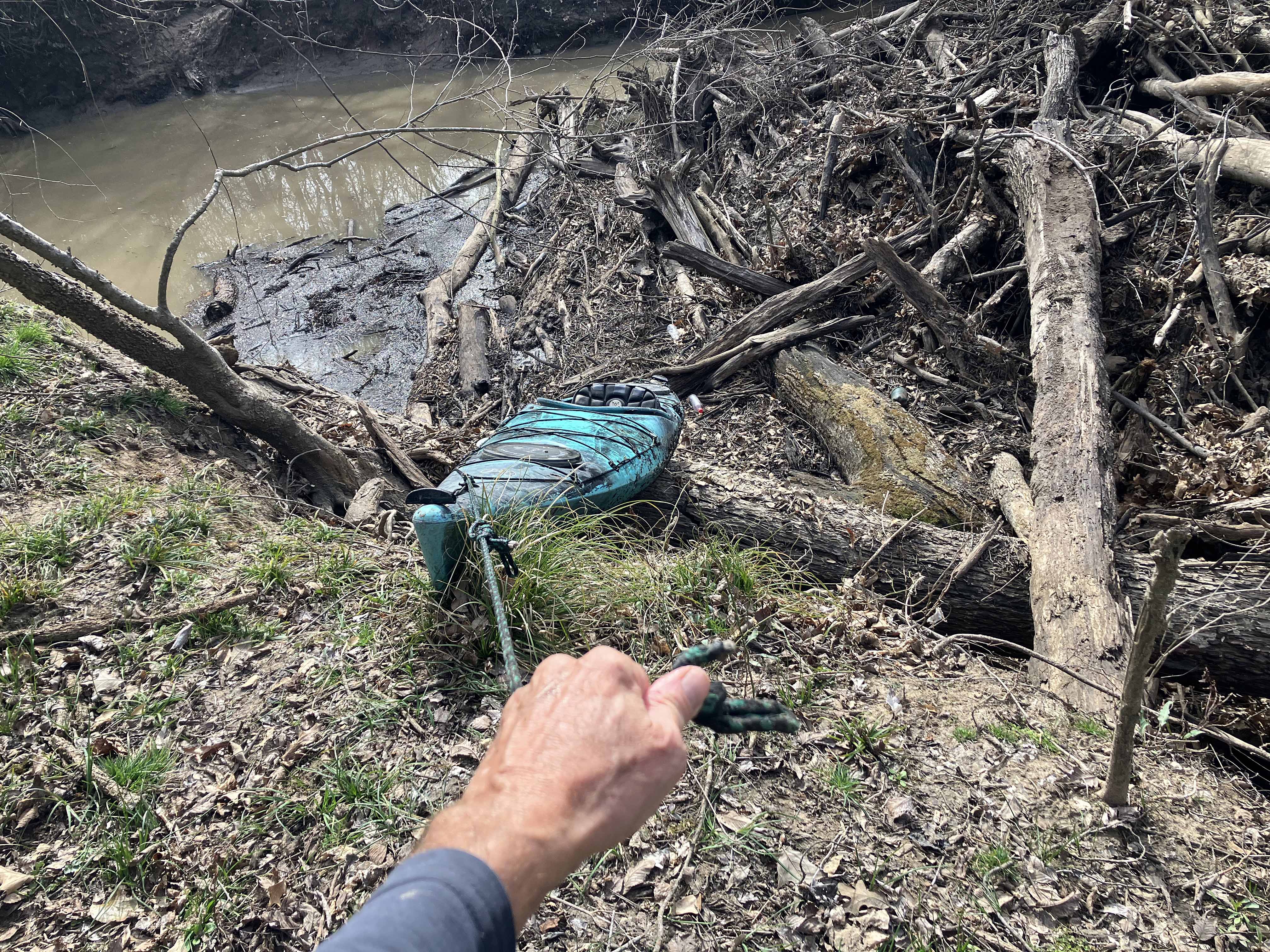
Above: A logjam portage in progress, somewhere up Sanders Creek.
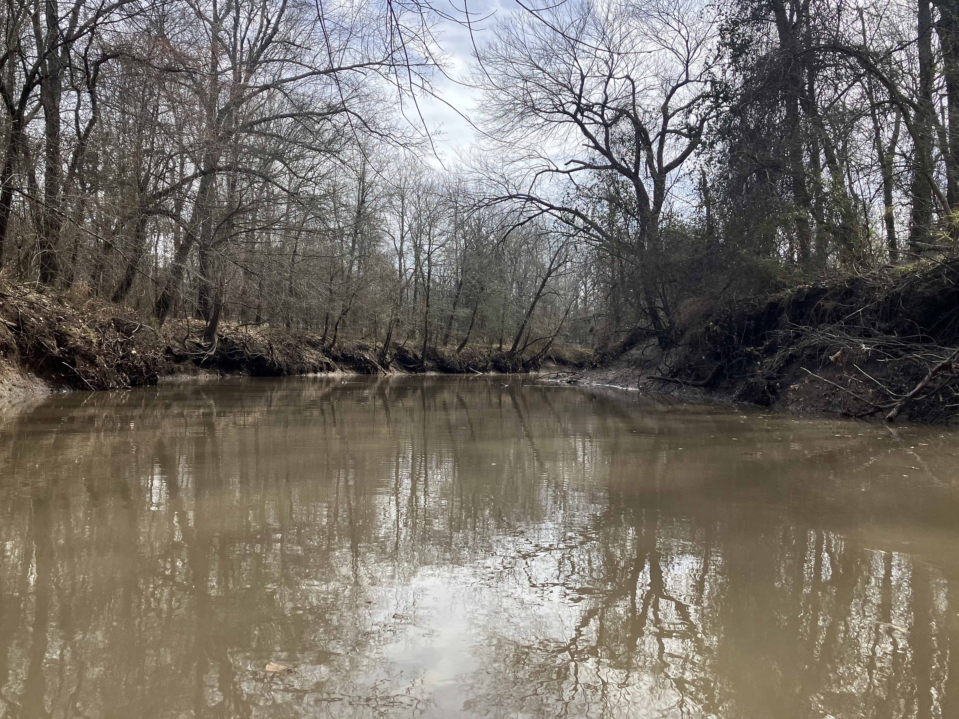

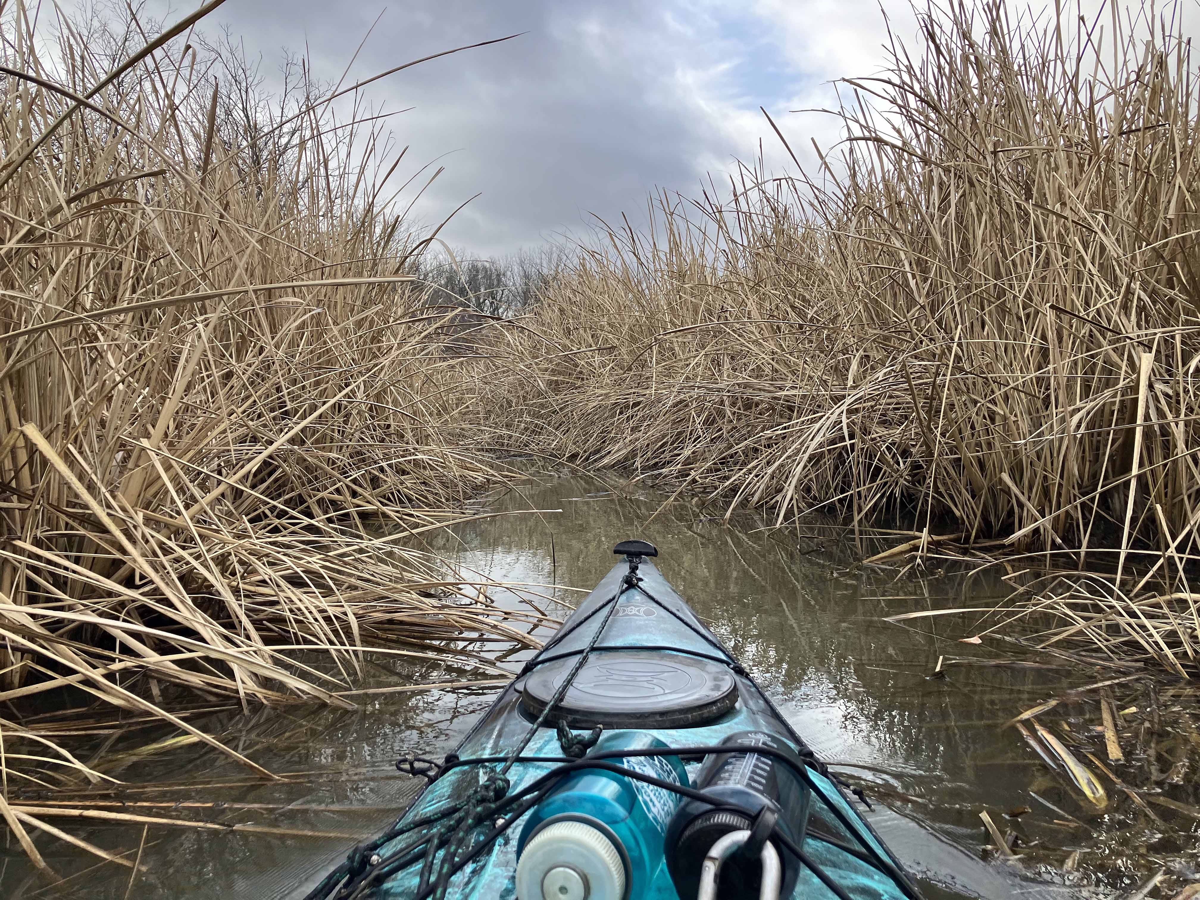
Above: Some trial and error is needed to find the right channel into the creek. This one isn’t right as I recall.
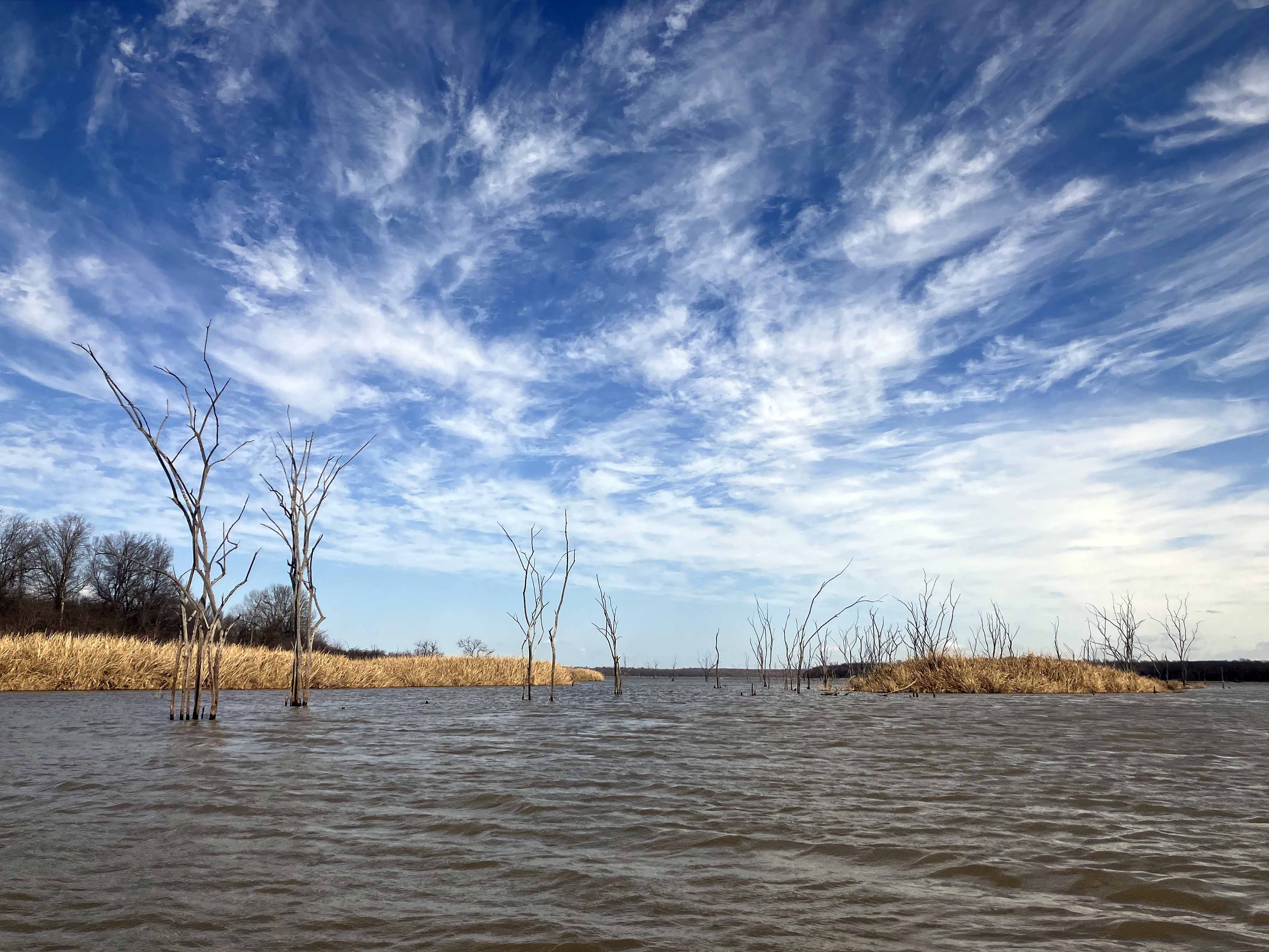
Above: Wow.

Above: The 1499 bridge. Things upstream got tighter soon after this spot.
