Sabine Island WMA B
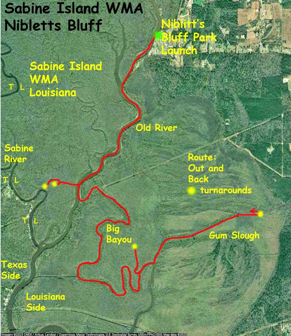
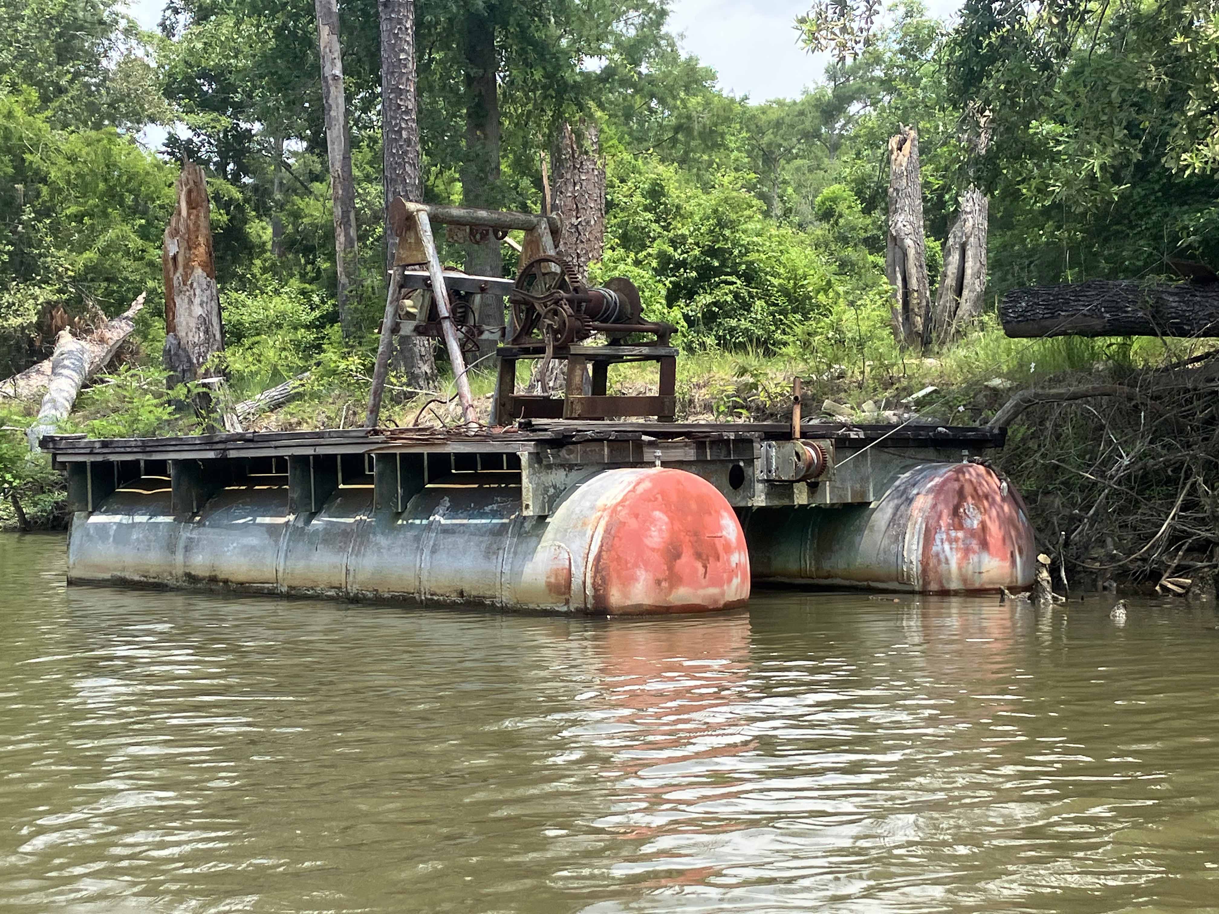
The above map describes a kayak paddle trail launching out of Nibletts Park in Louisiana into the Sabine Island WMA area. This trip goes south on Old RIver, takes Big Bayou east, then explores Gum Slough. Gum Slough goes on and on and at some point you just say here’s the turnaround. Along the Old River there are some really narrow man made channels that shoot straight into the forest of Sabine Island. They’re easy to miss, but are interesting to paddle into if you find one. Most of this trip however is on the wider river or open canals and was a good way to investigate the southern part of the WMA. It’s not clear from the map but the southernmost tip of the paddle route is, surprisingly, only 1.5 miles north of I-10.
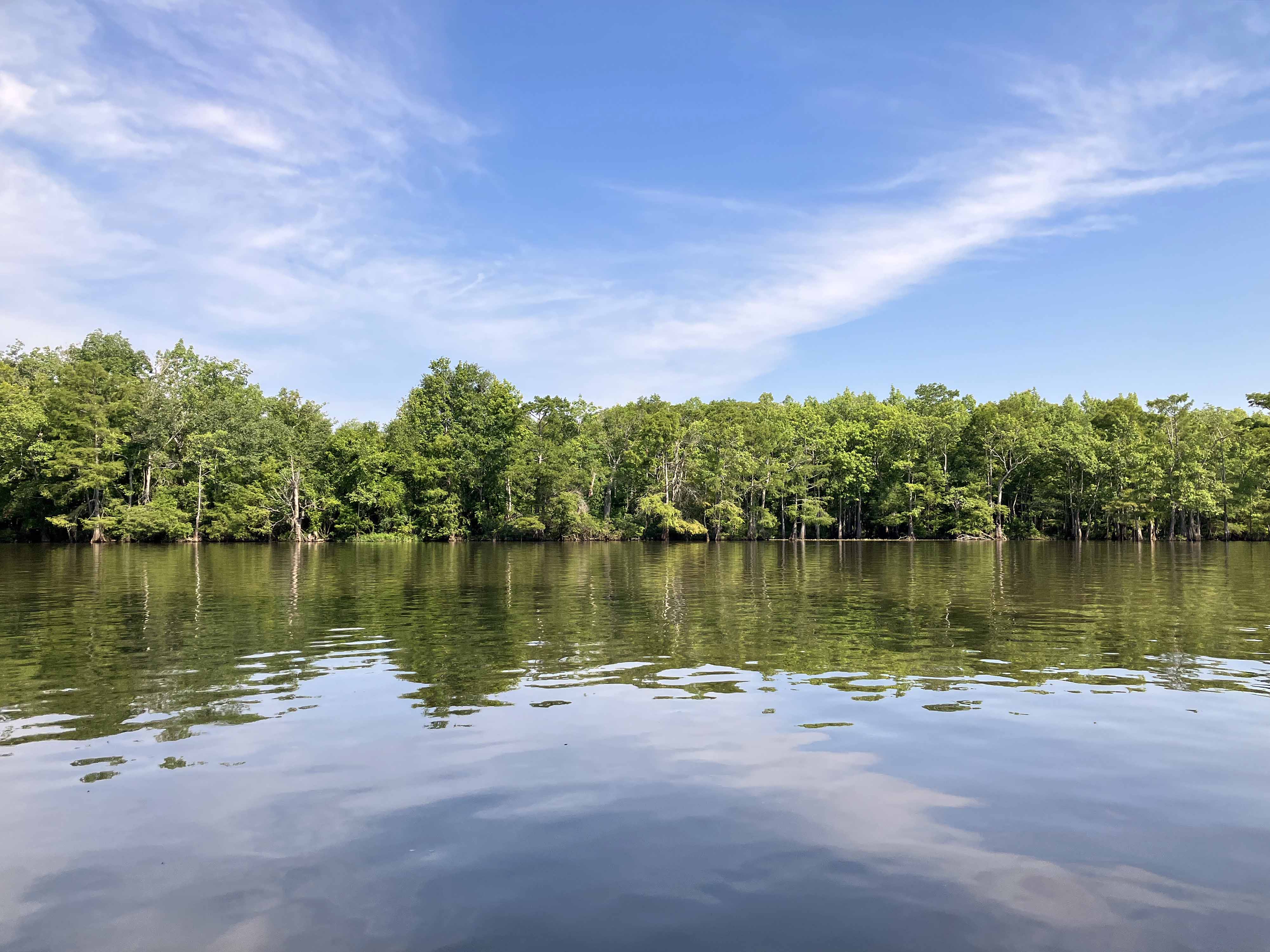
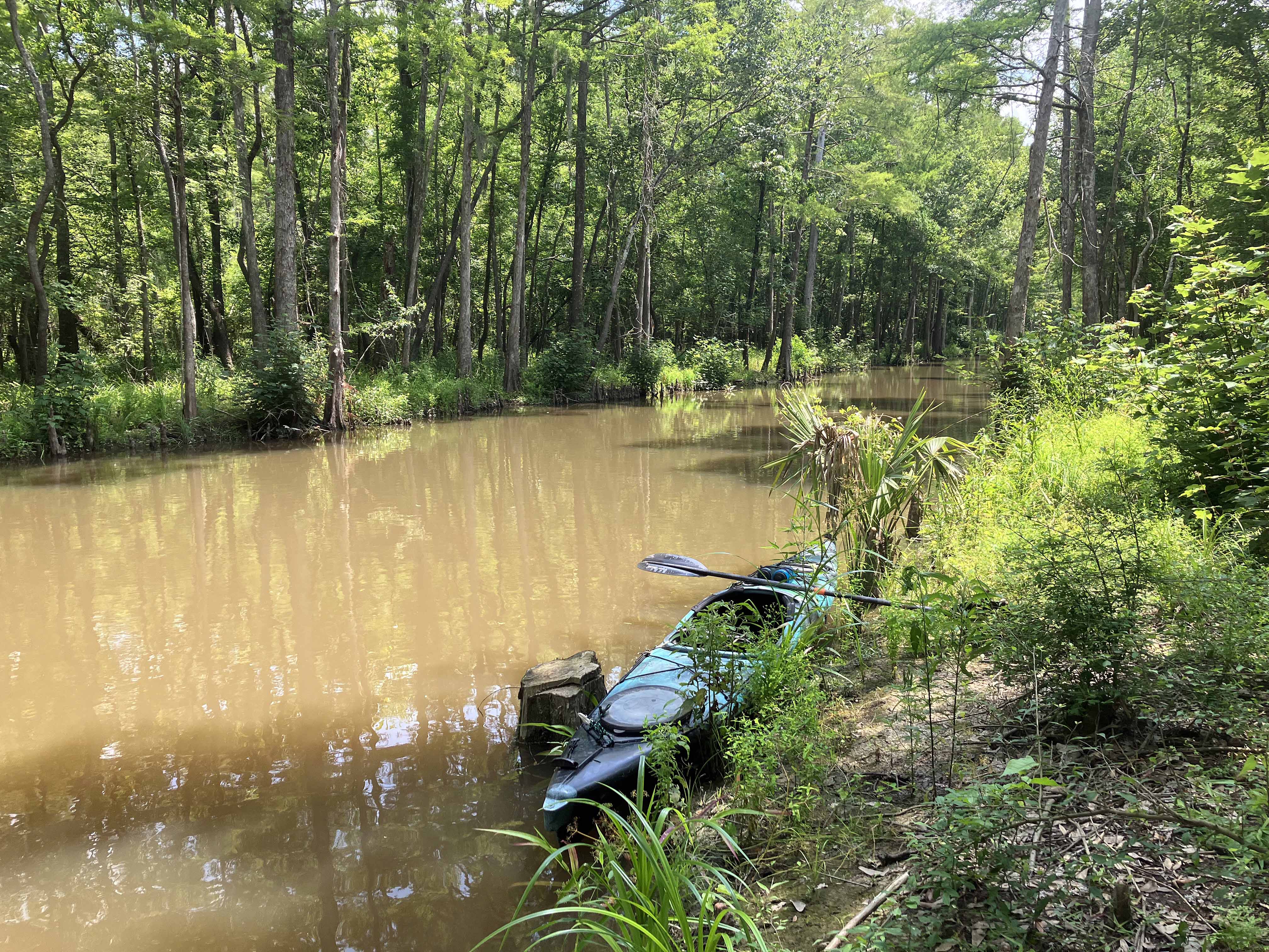
Above: A tiny channel that goes way into the forest of Sabine Island.
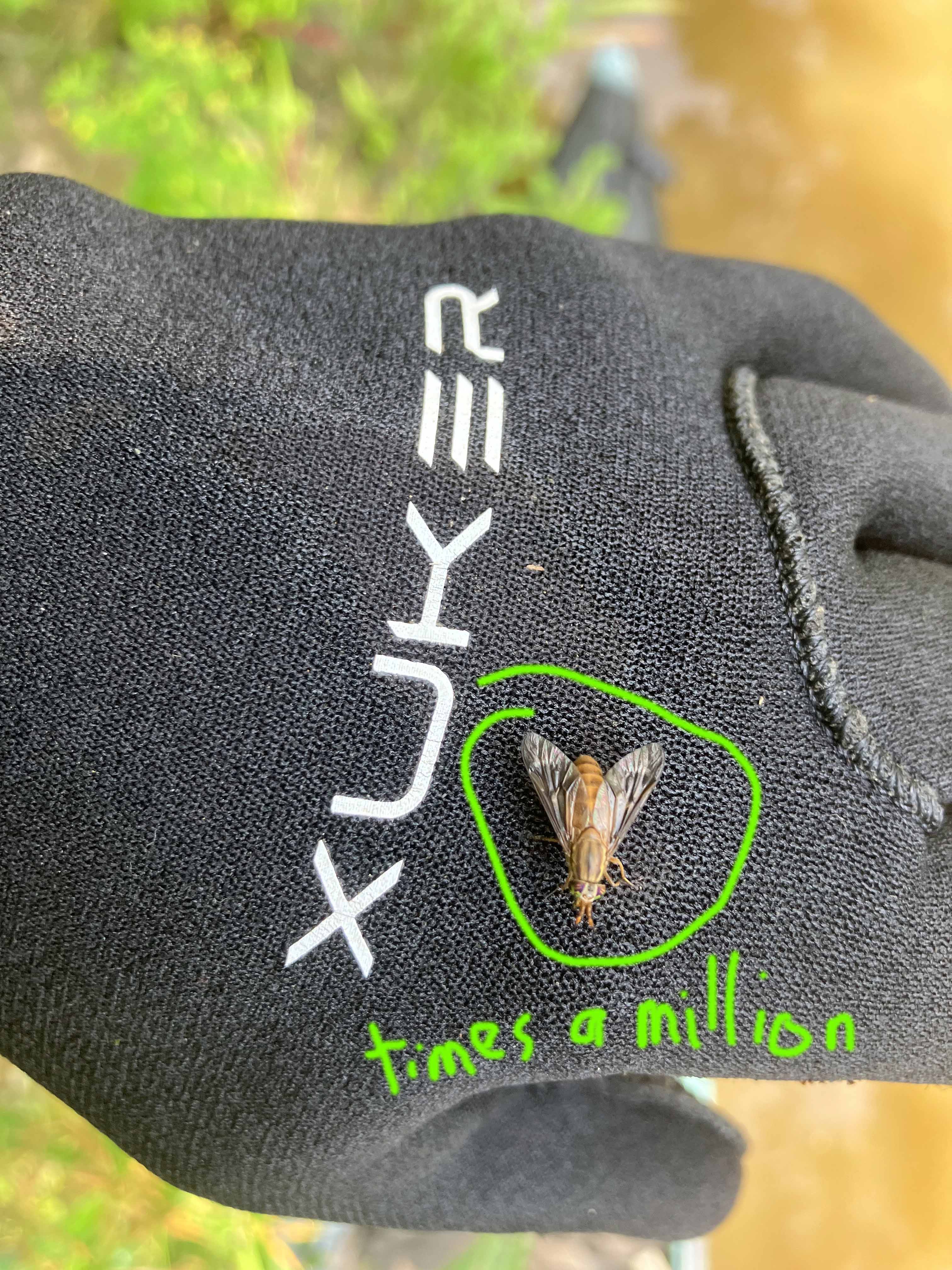
Above: A lot of what I remember about this trip was swatting these.

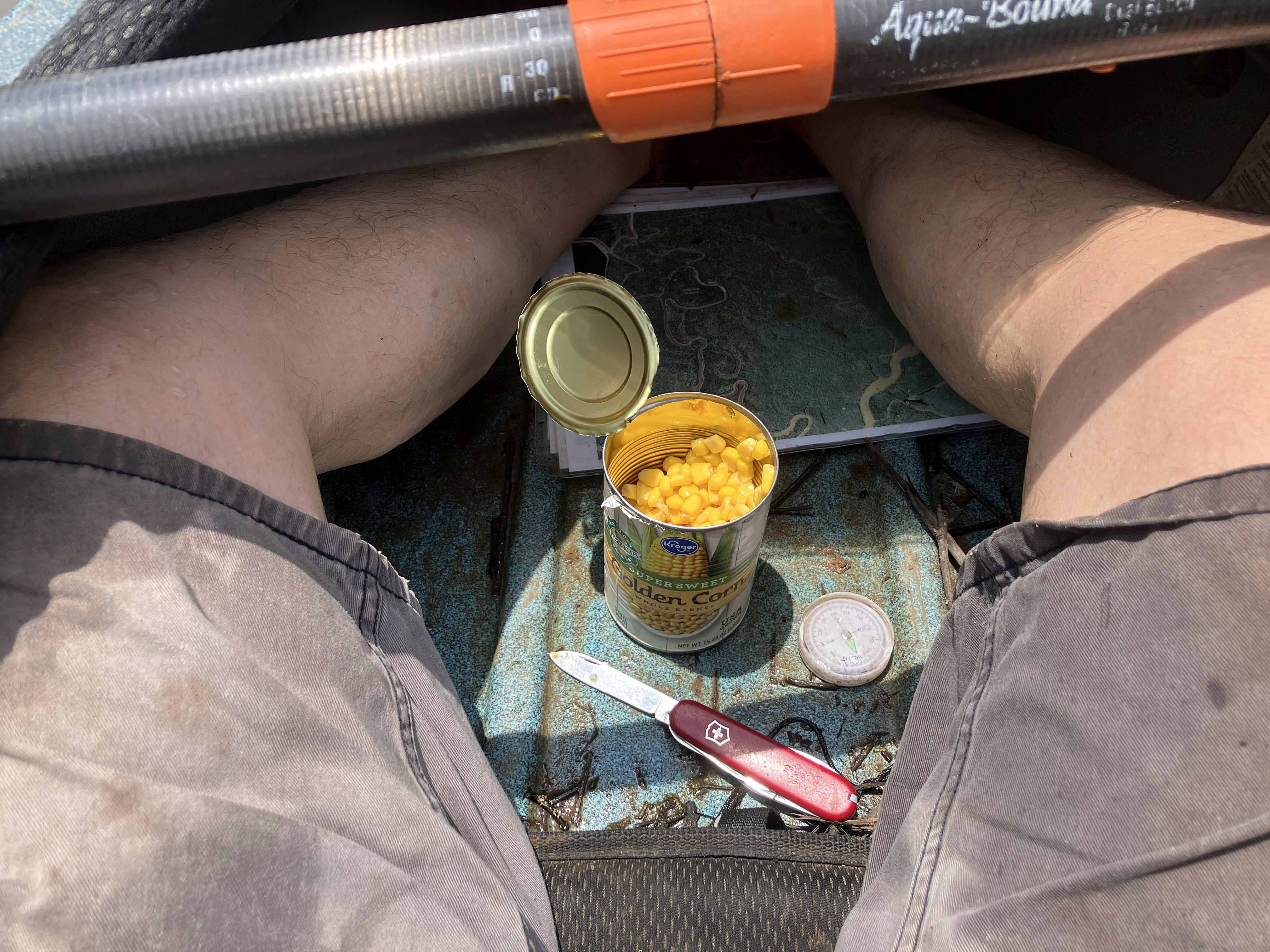
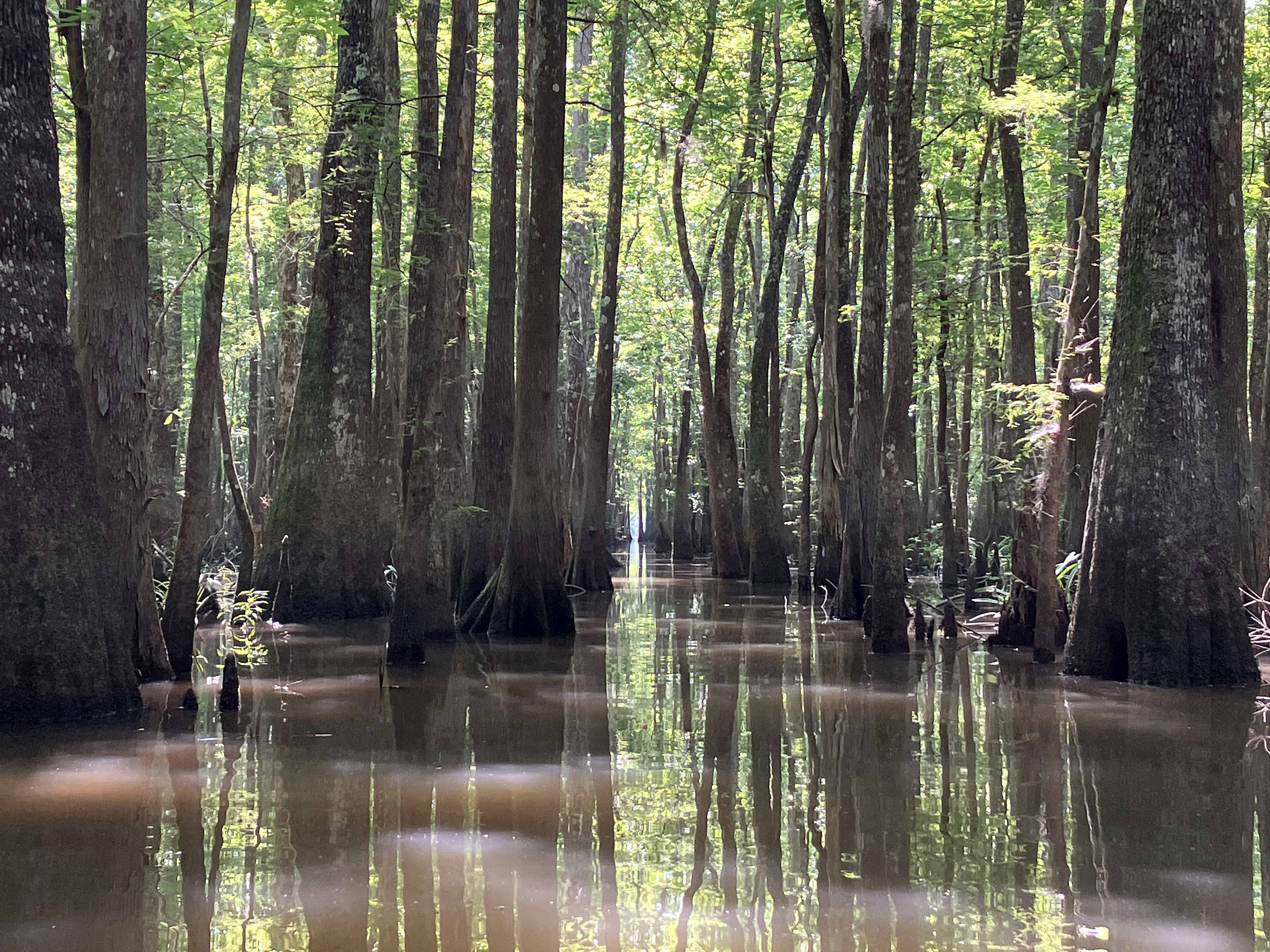
Above: Time for lunch.
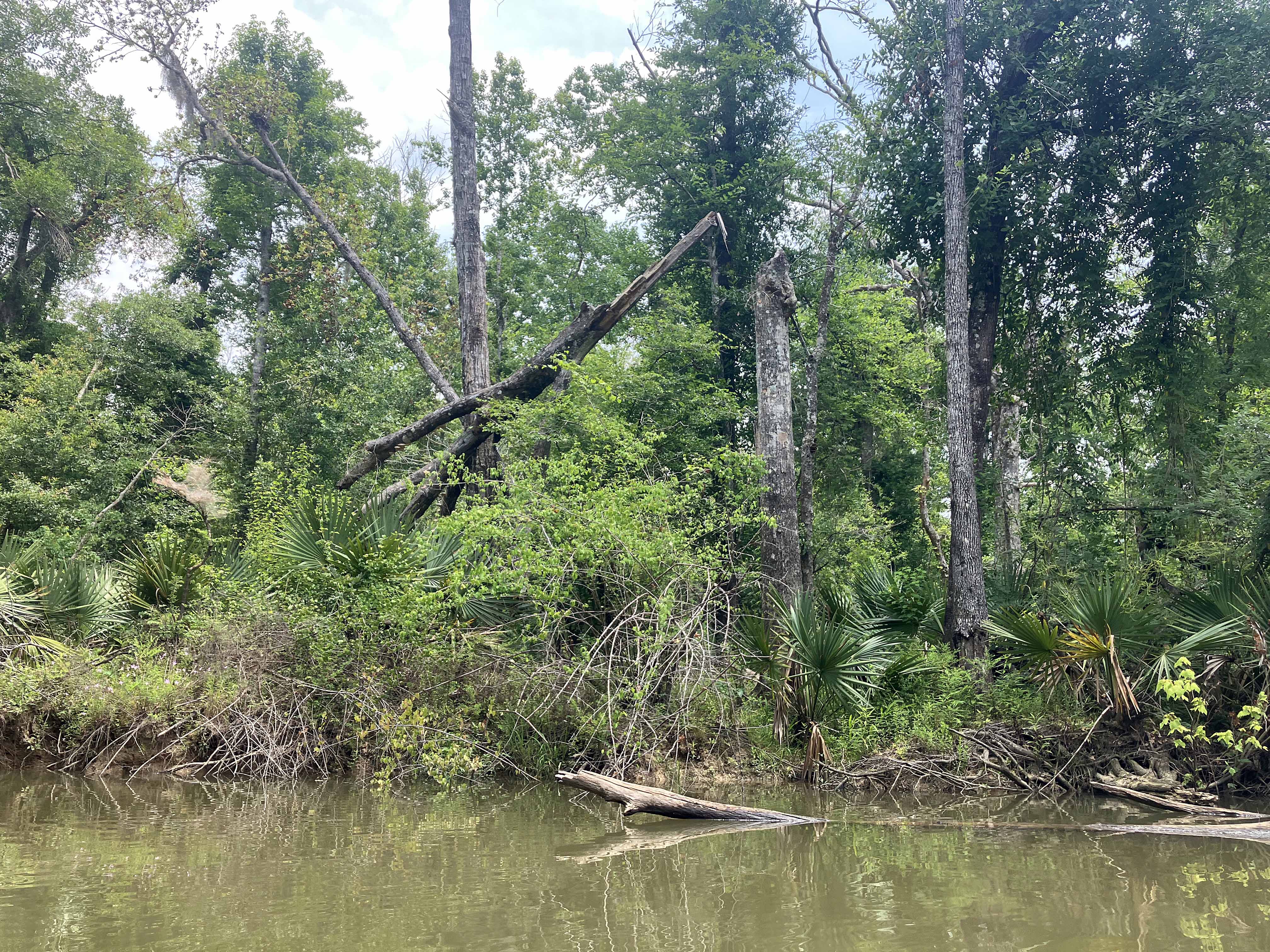
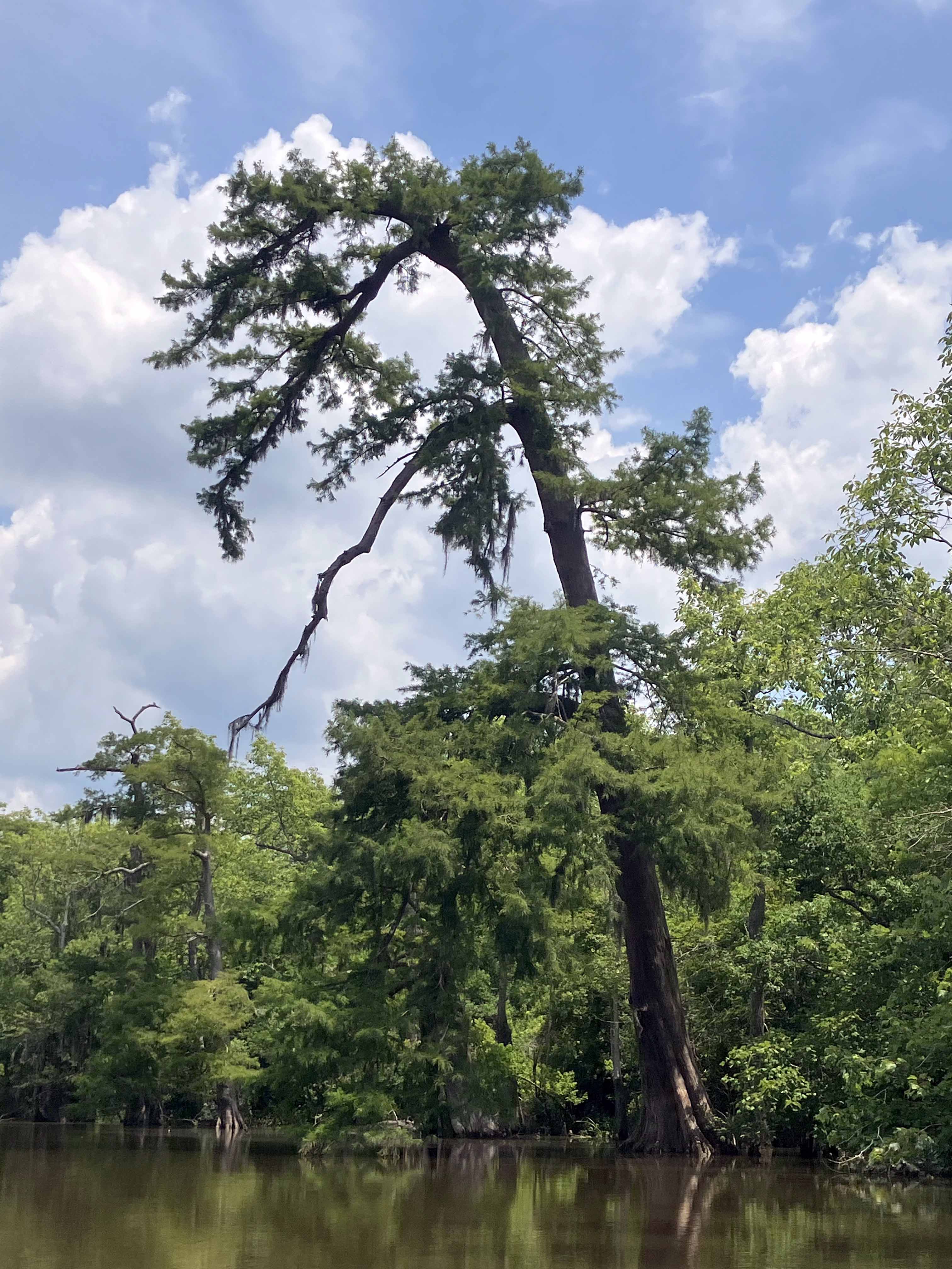
Above: The turnaround point on Gum Slough. The plan was to go further but I was tired.
