Steinhagen, Martin Dies State Park A
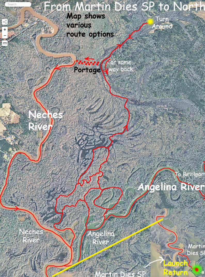
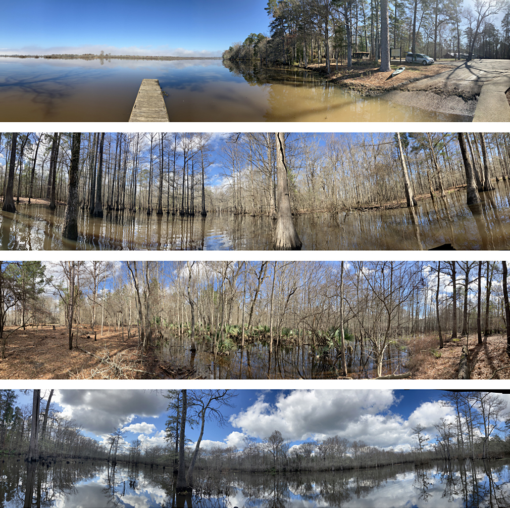
Steinhagen! One of the best places to paddle in Texas. I could not believe it when I first went to Steinhagen and the Martin Dies State Park area. Paddle routes can be designed all over the place here, well beyond the simple TPWD/State Park trails which stick pretty closely to the Park. Like the other paddling areas where I have done multiple trips, the trips in this section have been labeled A, B, C…etc. There is just so much to explore. This particular map is (awkwardly) divided into two sections. First, an inset at the lower right shows the Martin Dies State Park Boat launch and path that gets up to where the Angelina River (on the right) and the Neches River (on the left) meet. The yellow line connects the end of this first map with the start of the next. The confluence between the rivers is at the bottom of the larger, main map; the Neches is the muddy side and the Angelina is the clear side. Where the two rivers meet is where you can enter the swamp. This in-between area is filled with little channels, sloughs, branches, lakes, some continuous, some dead-end, but all of which can be explored (although Steinhagen like many places does have an aquatic invasive plant problem that restricts some areas). As the map shows, it is possible to go pretty far north into the swamp following a channel (marked in red) that is usually pretty clear and which may even have a bit of current to it making it easy to follow. From the northernmost turnaround point (yellow dot) you can head back the same way you came and return to the state park. The map also shows an alternative return route I once tried that involved a portage from east to west at the narrowest spot. This was a hard portage, hot, weedy, longer than I expected, and with several unexpected water-filled gullies to cross. And I missed the tip of the U where I wanted to hit the Neches, I stupidly veered off to the side. And I had a headache. Alligators, really big ones, are numerous throughout area. The map also indicates that if you stay on the Angelina River and paddle upstream you eventually reach the Bevilport launch. You can do this as an out and back at about 18 miles roundtrip, or as a point to point, but its all flatwater paddling and less interesting than the swamp.
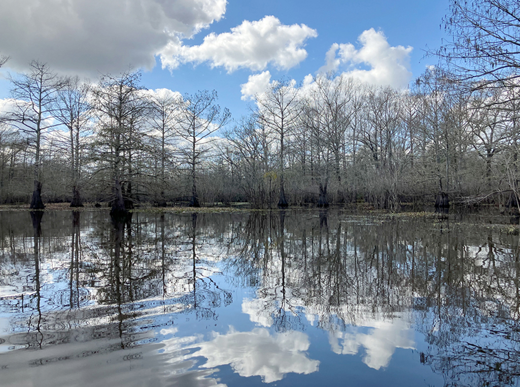
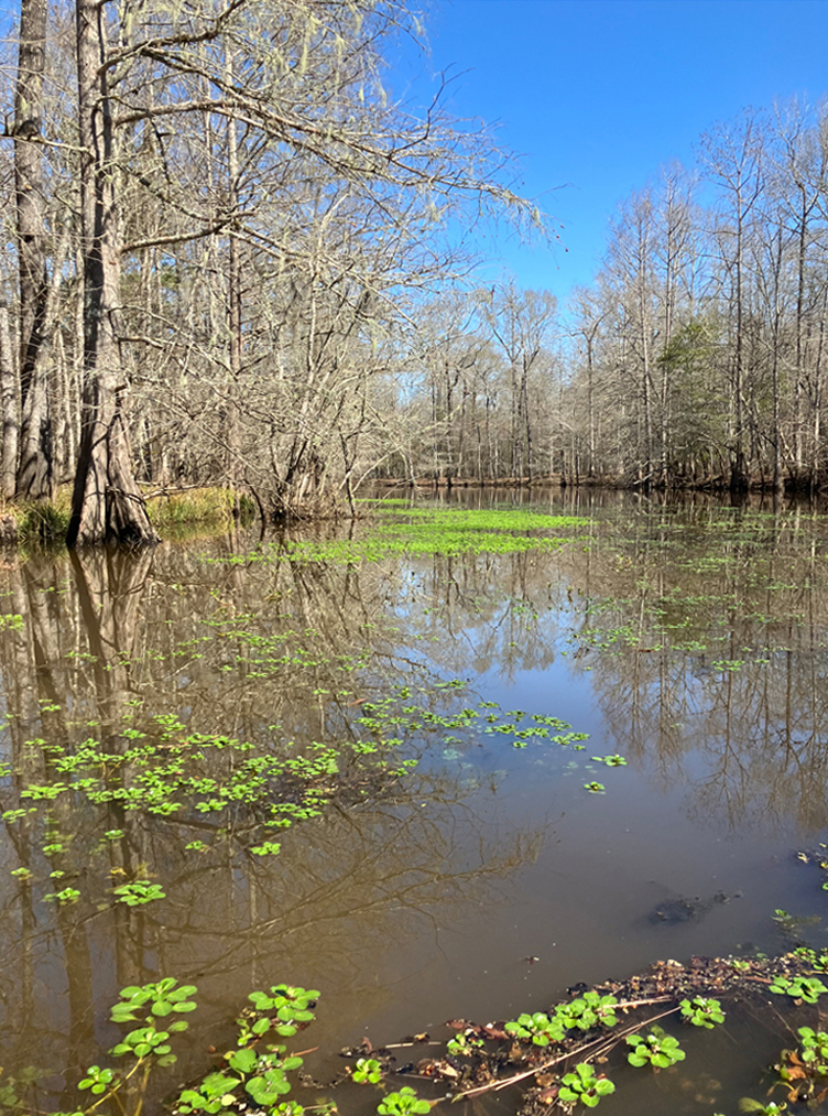
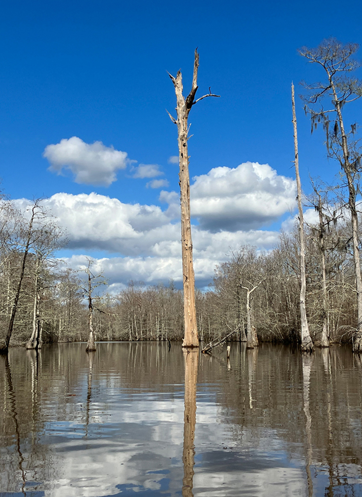
Above: Winter scene at Steinghagen.
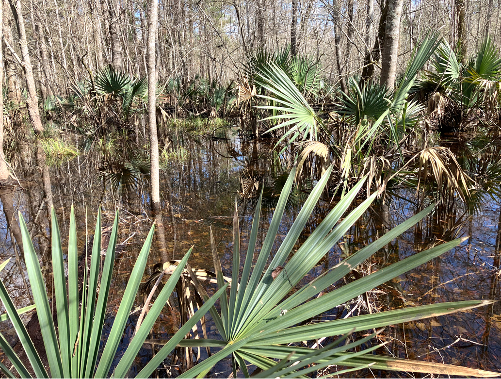
Above: These palmettos, if that’s what they are, are great plants.
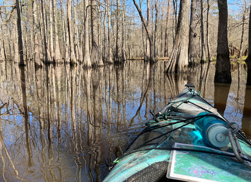
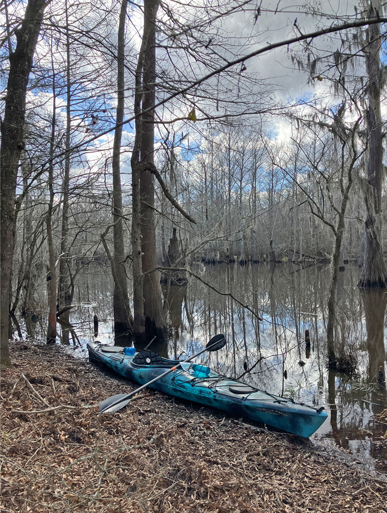
Above: Keeping track of where I am, hopefully.