Steinhagen, Martin Dies State Park B
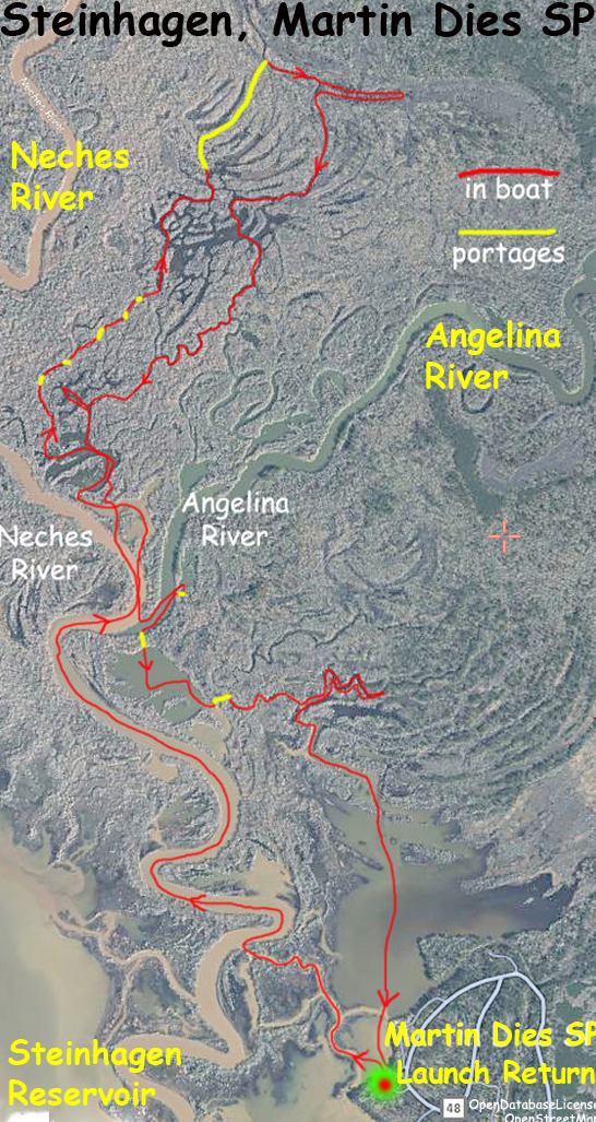
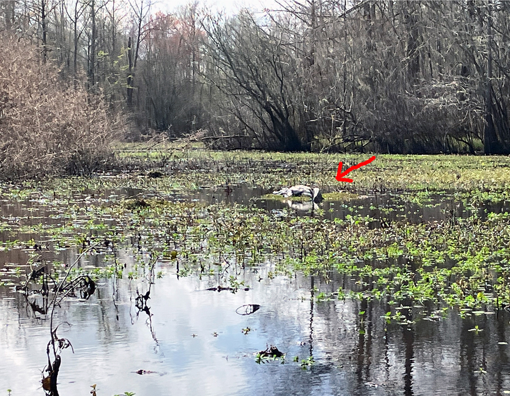
More Steinhagen! This route begins as usual at the Martin Dies State Park Launch. The launch is on the north portion of the park, which is split into two parts by Highway 190 that runs between Woodville and Jasper. There are actually two launches, one for paddle boats, the other is used by motorboats. I usually launch at the motorboat launch since it is closer to the lake and main river. The route here aims to go up a small channel between the Neches and Angelina Rivers. This seems complicated but once you start to get familiar with the layout and look at the maps closely you can start to see the idea. I did manage to locate this channel and go up, but several portages (yellow on map) were needed to make it. A second goal of the route was to paddle north on one of the open ‘finger’ lake areas that were visible by satellite. Turns out those open areas were actually super shallow and filled with brush. As a result there was an unplanned portage (shown by the long yellow line) necessary to get to the main channel. After arriving back where the rivers meet I came back by exploring some of the channels on the east side. The channels here are kind of convoluted; multiple small streams that seem to wind around one another and which have to be sorted out, sometimes by trial and error and backtracking. Eventually you come out on the north side of the lake just north of the park and from there it’s a straight shot back. This was a challenging exploratory paddle. Great!
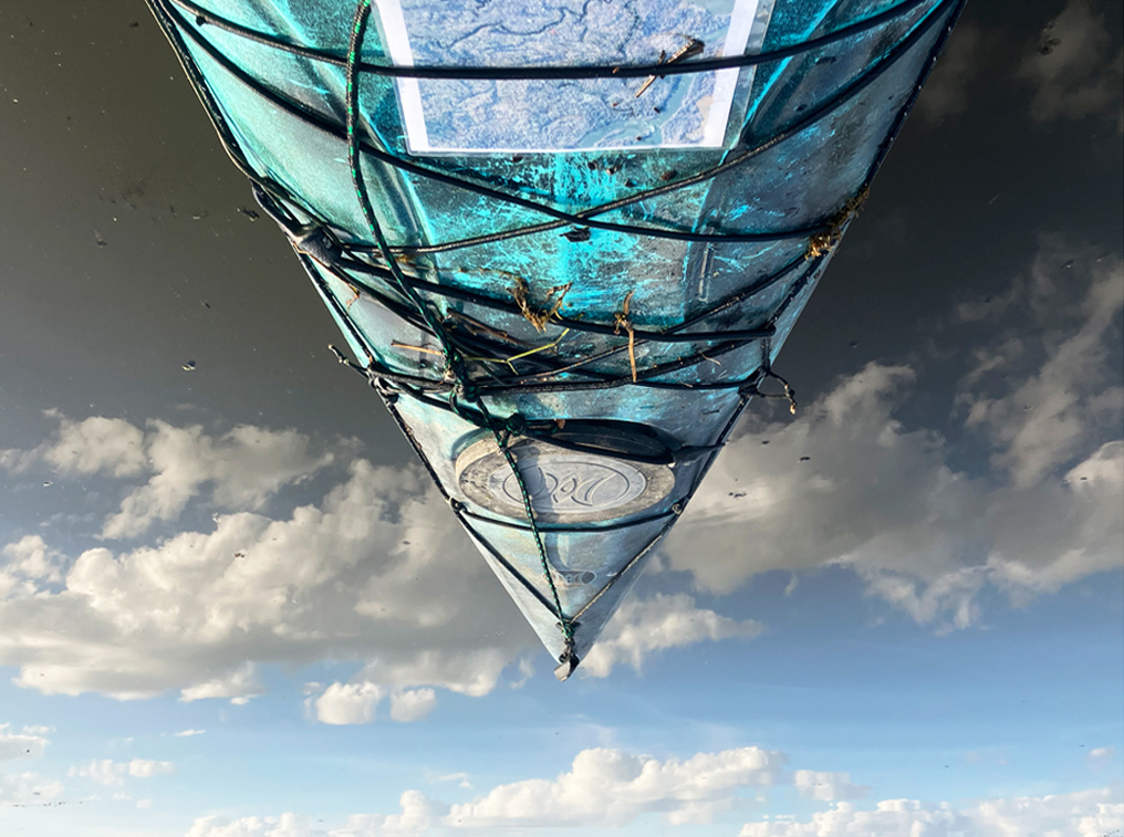
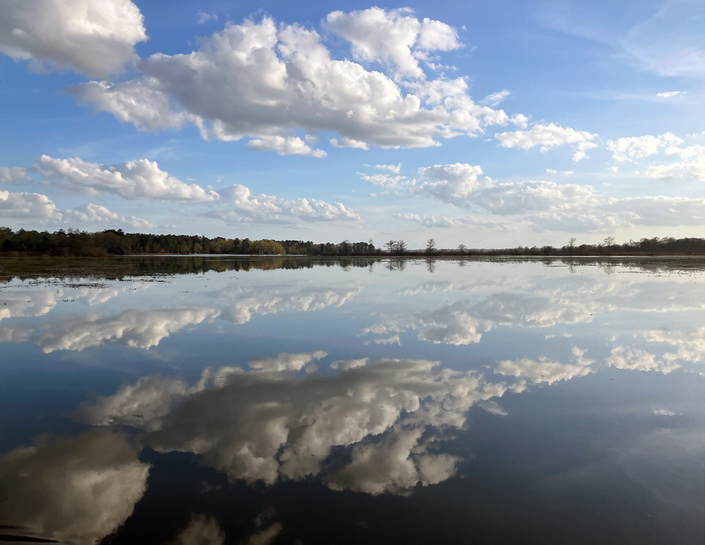
Above: Sometimes the water is so clear with reflection you can’t tell what’s up or down.
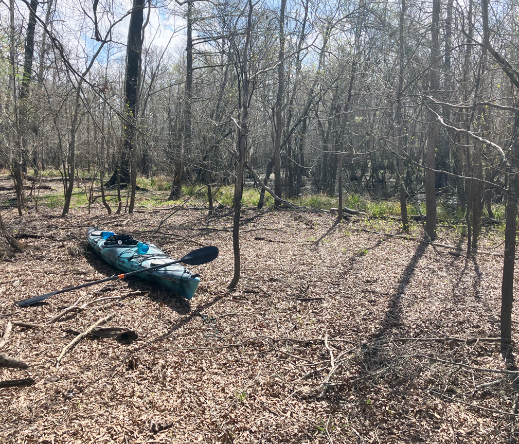
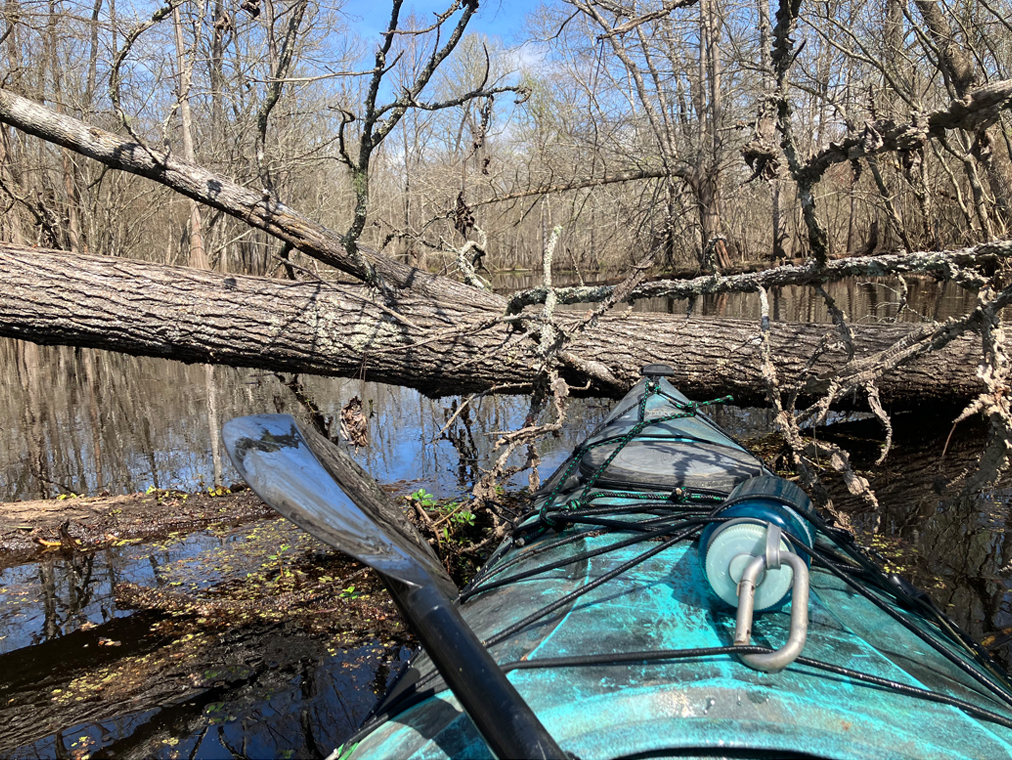
Above: In the middle of a long portage.
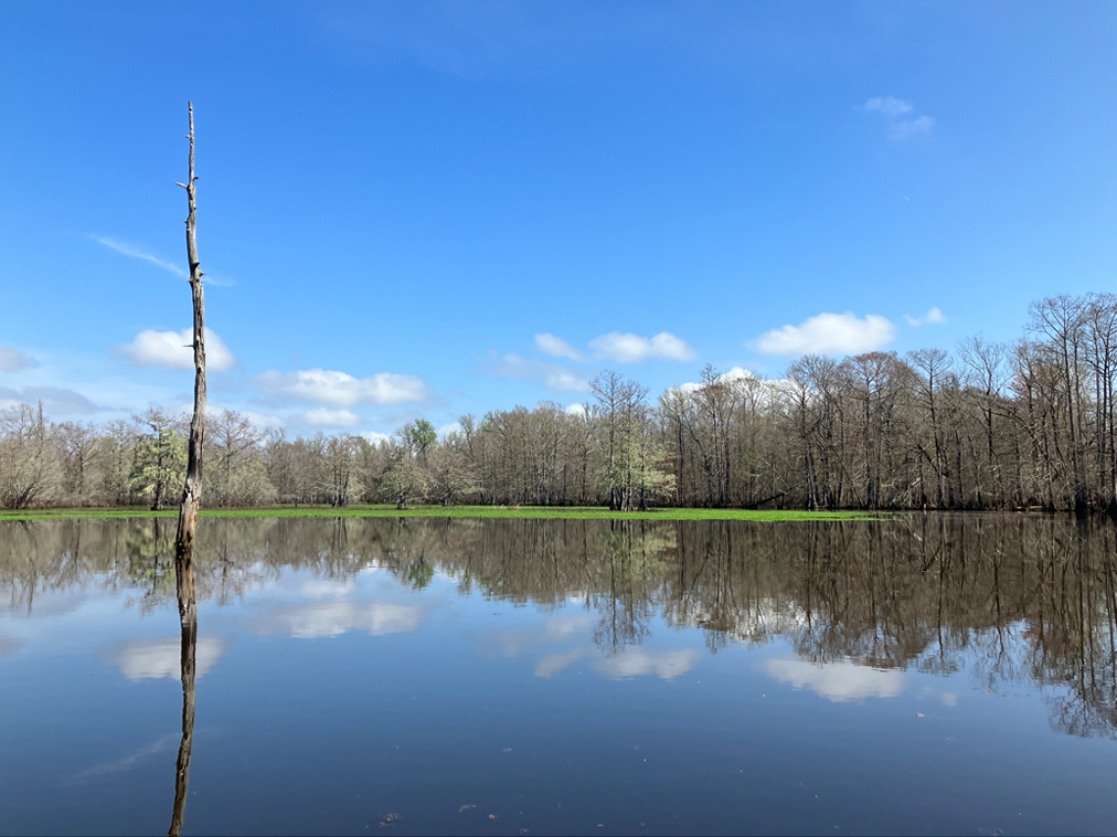
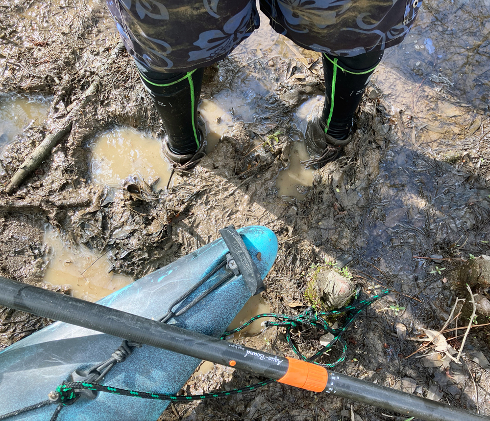
Above: To be expected on such trips.
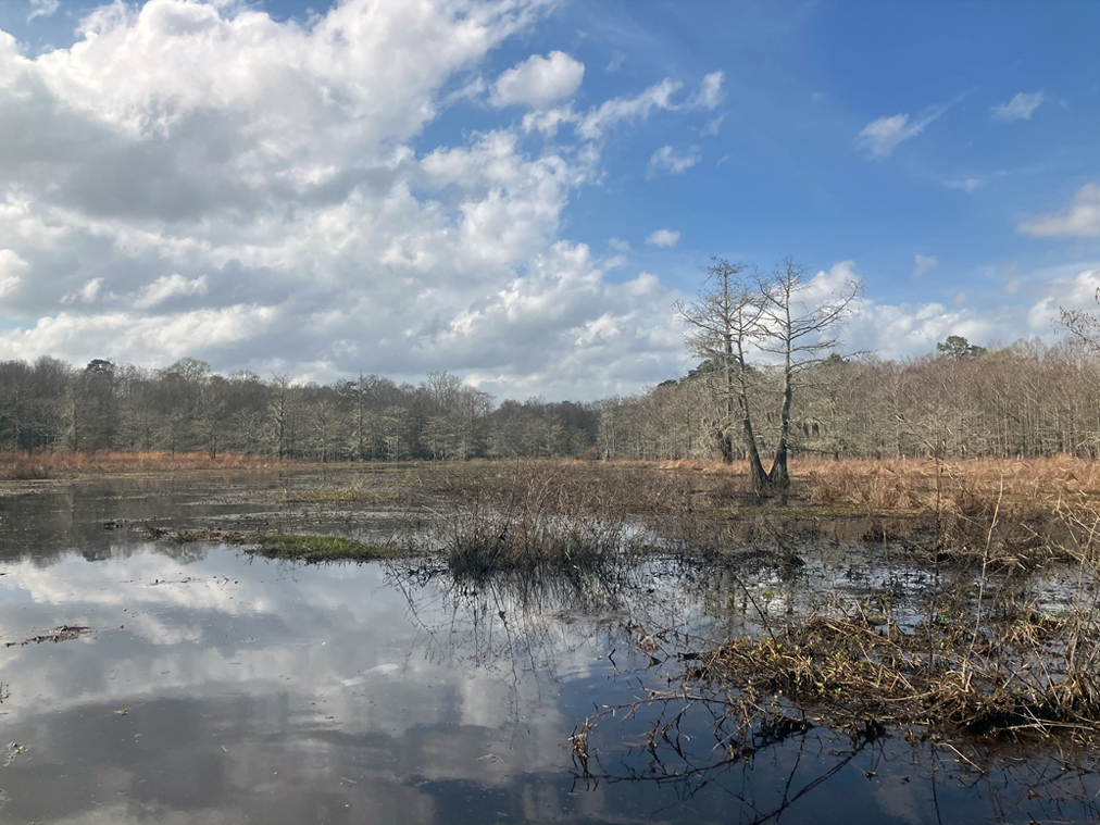
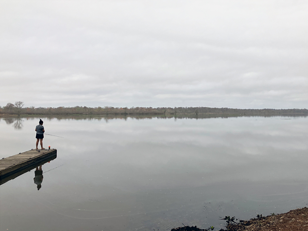
Above: View from the Martin Dies SP launch.
Above: Wow.
