Trinity River, Lost Lake, Lost River, Hugo Point Park, A
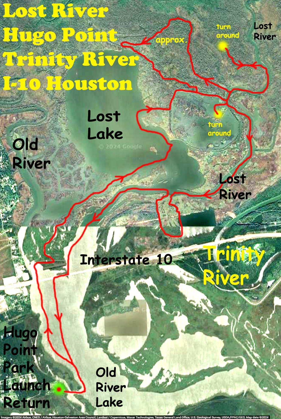
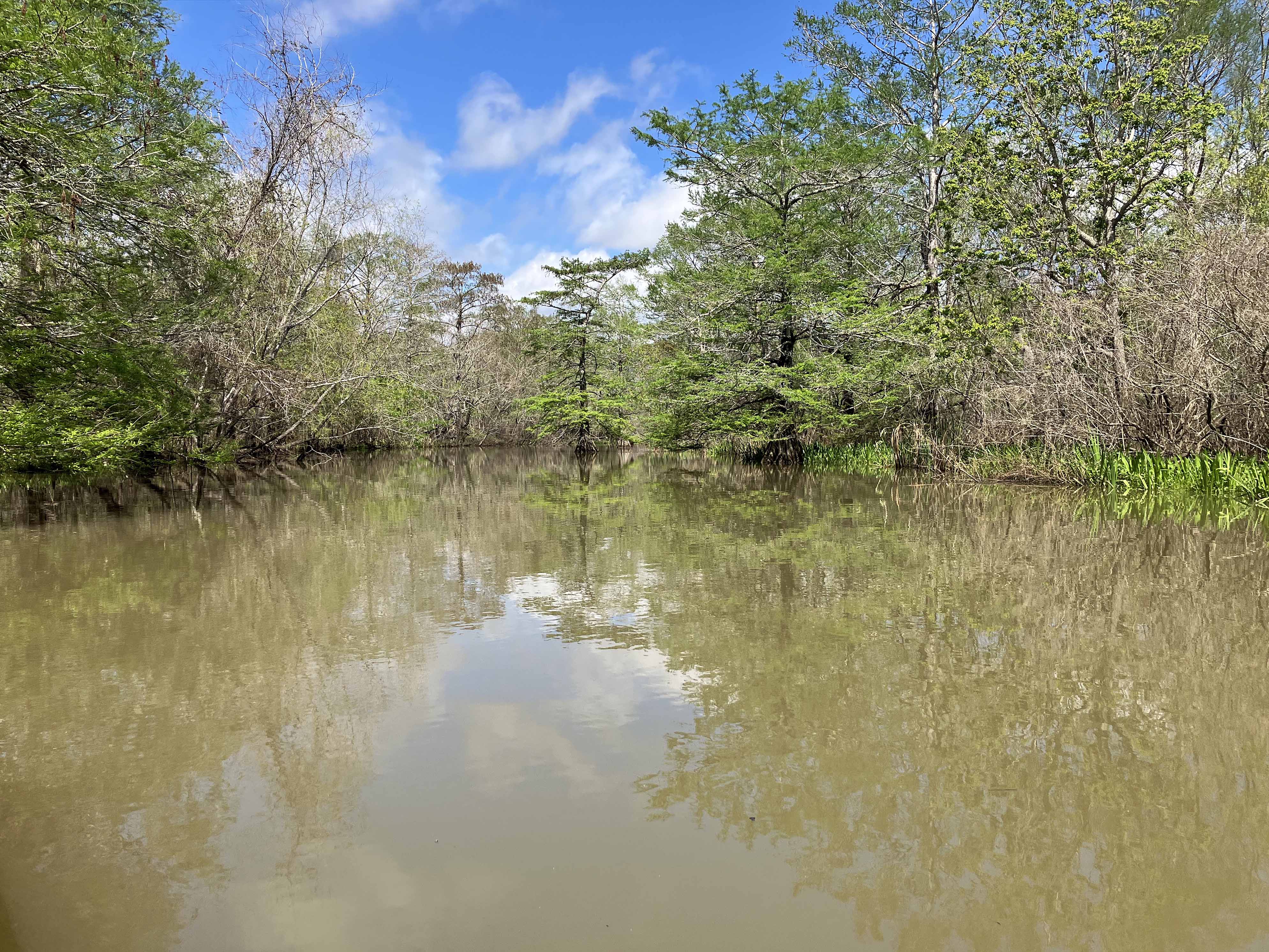
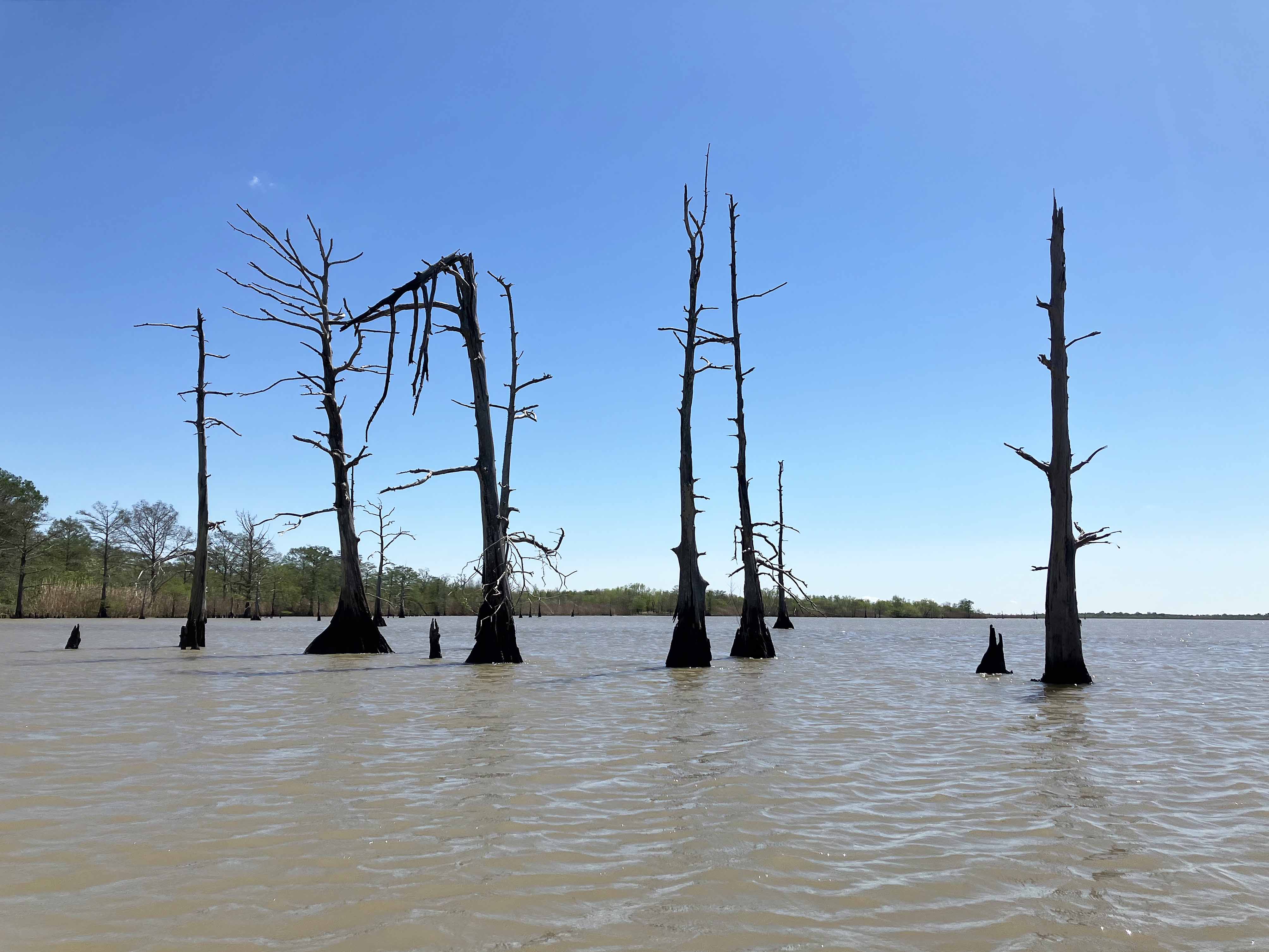
Kayak trip launching from Hugo Point Park near Cove on I-10, east of Houston, going up into the Lost River and Lost Lake areas. This trip is a kind of a general check things out paddle, see where it’s possible to go. It stays west of the John Wiggins Bayou that was explored in another trip. The route includes a nice tight channel on the north end that connected Lost River to Lost Lake, and explores a rather odd, enclosed, geometric structure east of Lost Lake that may have once had something to do with oil or gas but I don’t know. The trail finally tracks back along Lost River to the launch. The water for this trip was high and many side channels were available open for paddling. Surprisingly, water levels the next day had dropped dramatically. I am not quite sure how the water level in this area is determined and how it relates to flow control on the nearby Trinity but there may be some (inverse) logic to it. Alligators are everywhere here and I saw some really tiny ones (with large parent). Lots of possibilities for exploration here, the place is great.

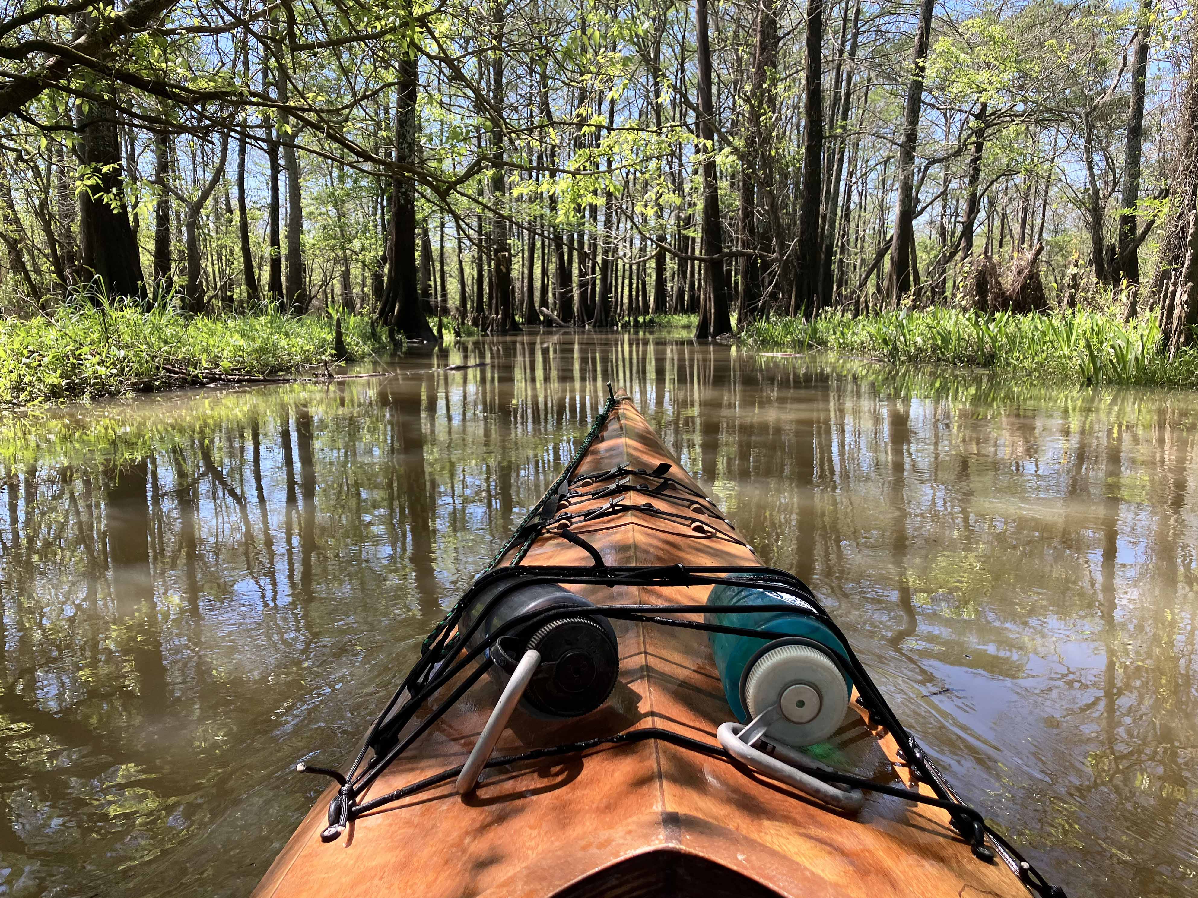
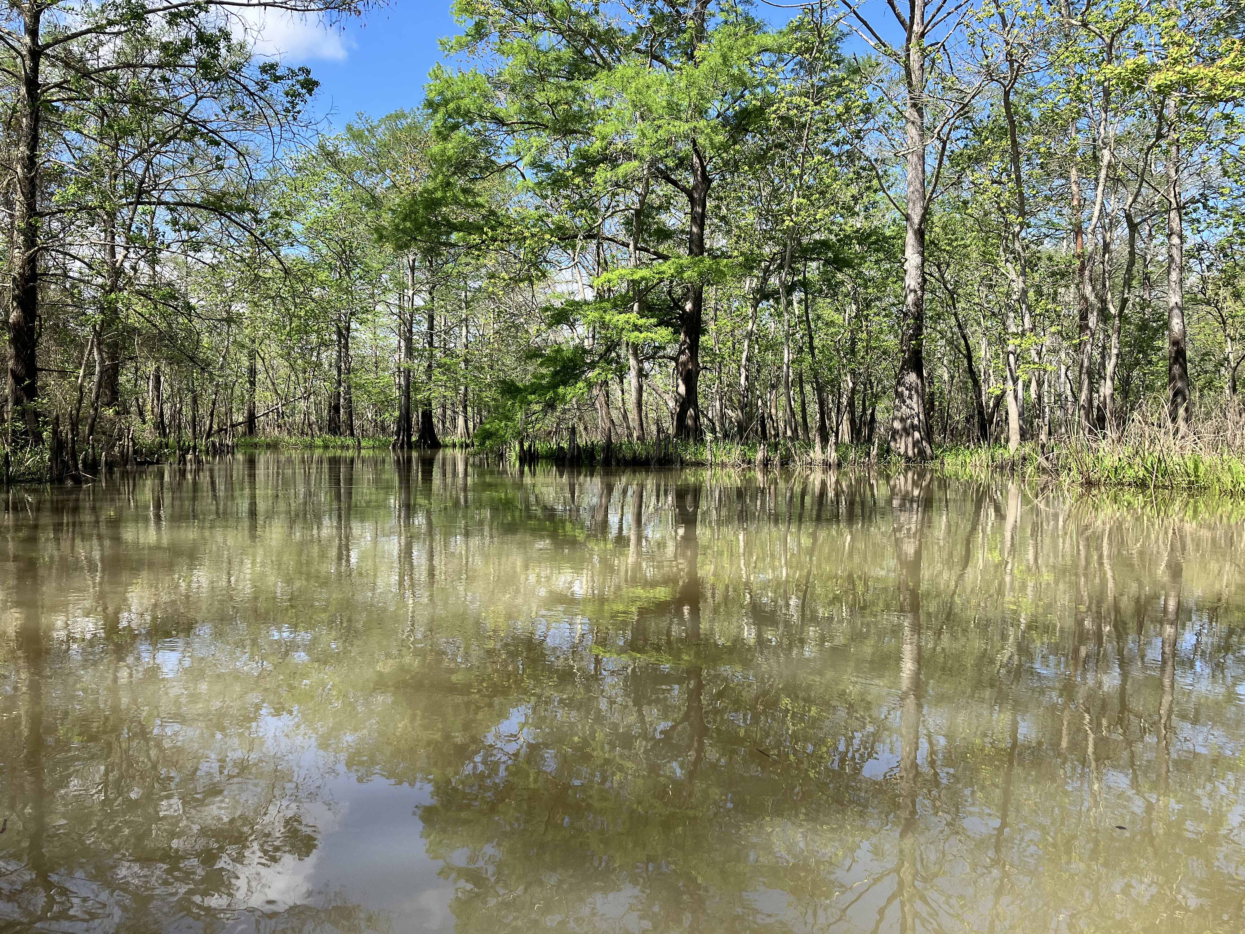
Above: Cruising along some small channel.
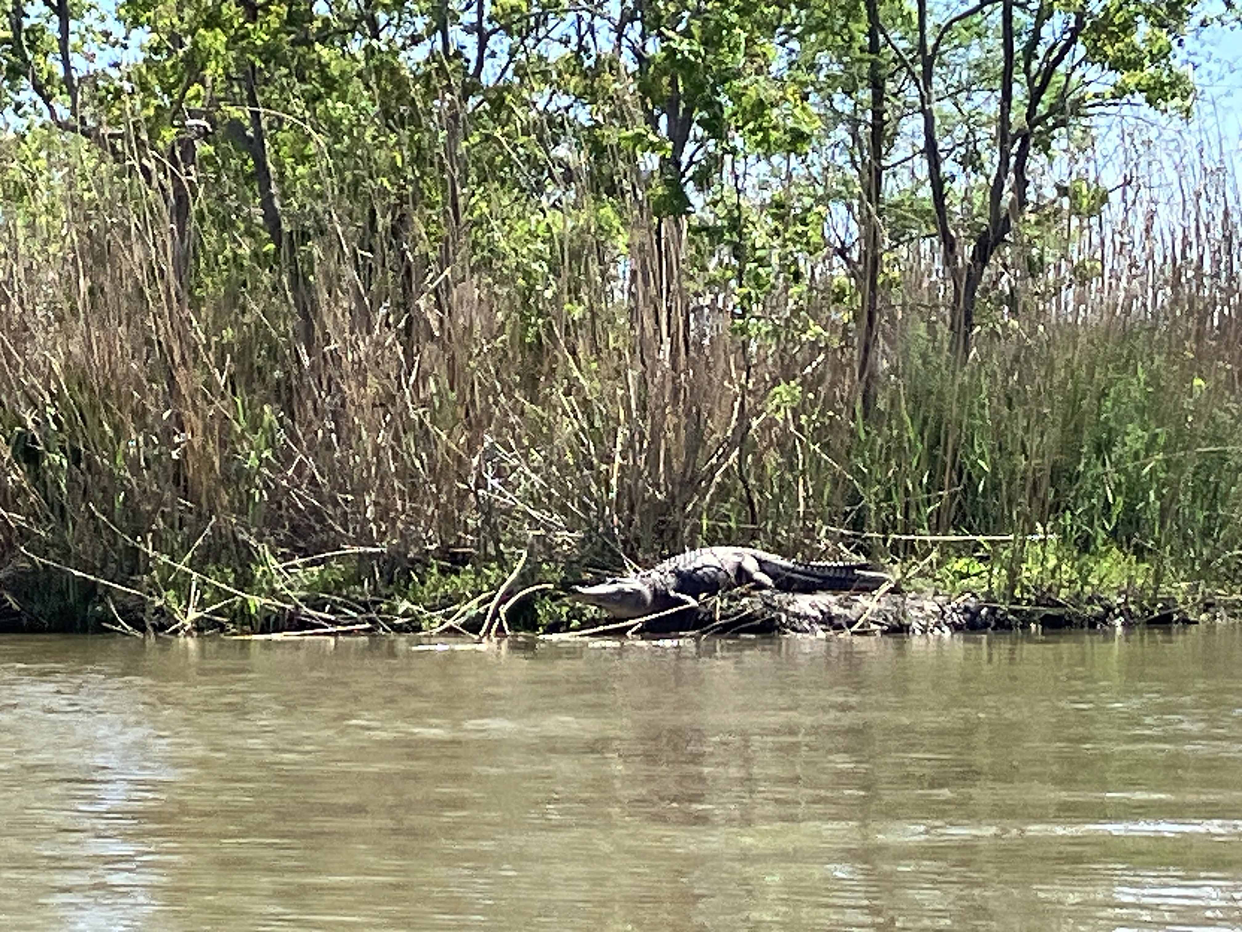
Above: Gator.
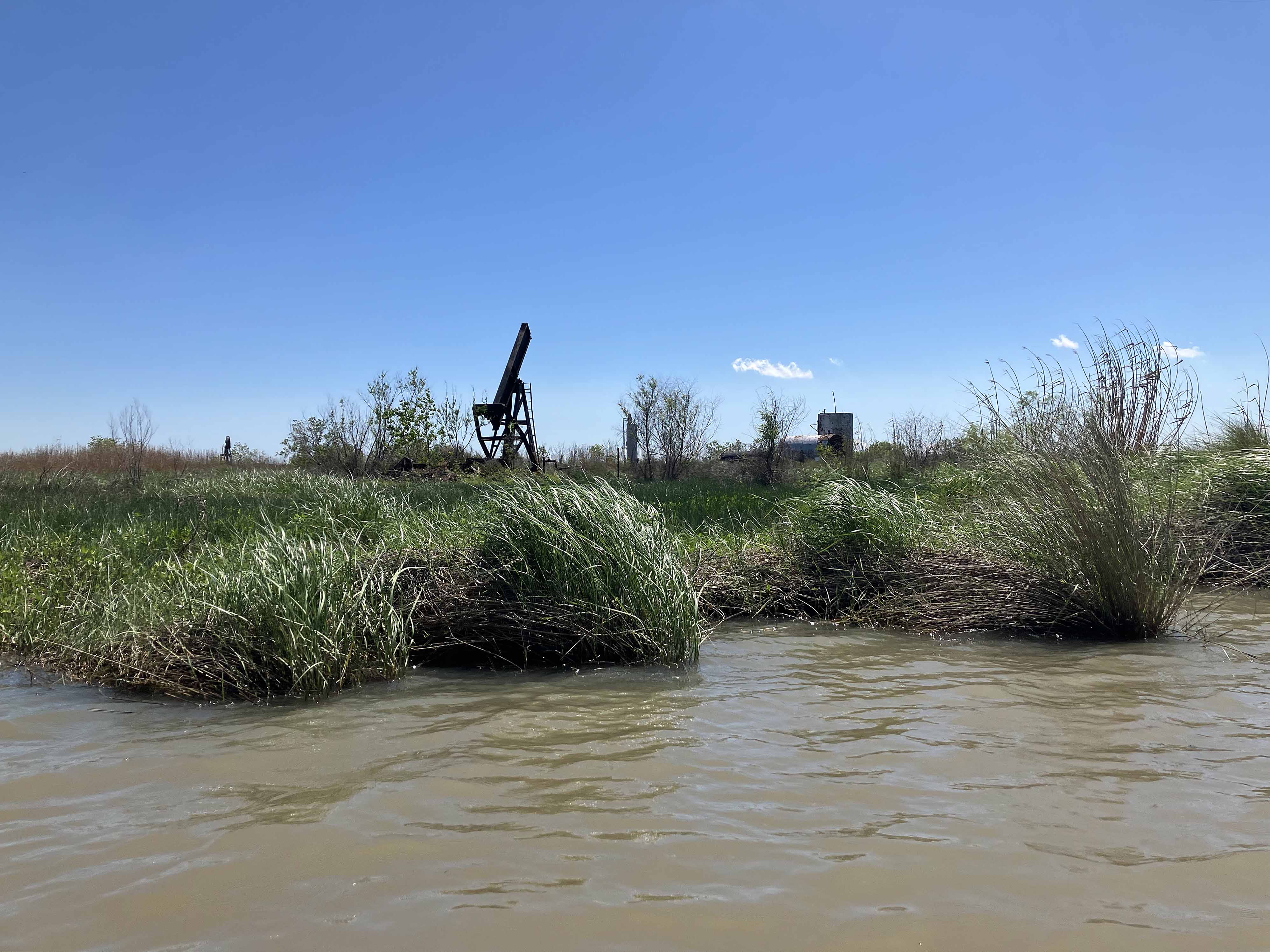
Above: An old pumpjack within the geometric enclosure seen on the map.
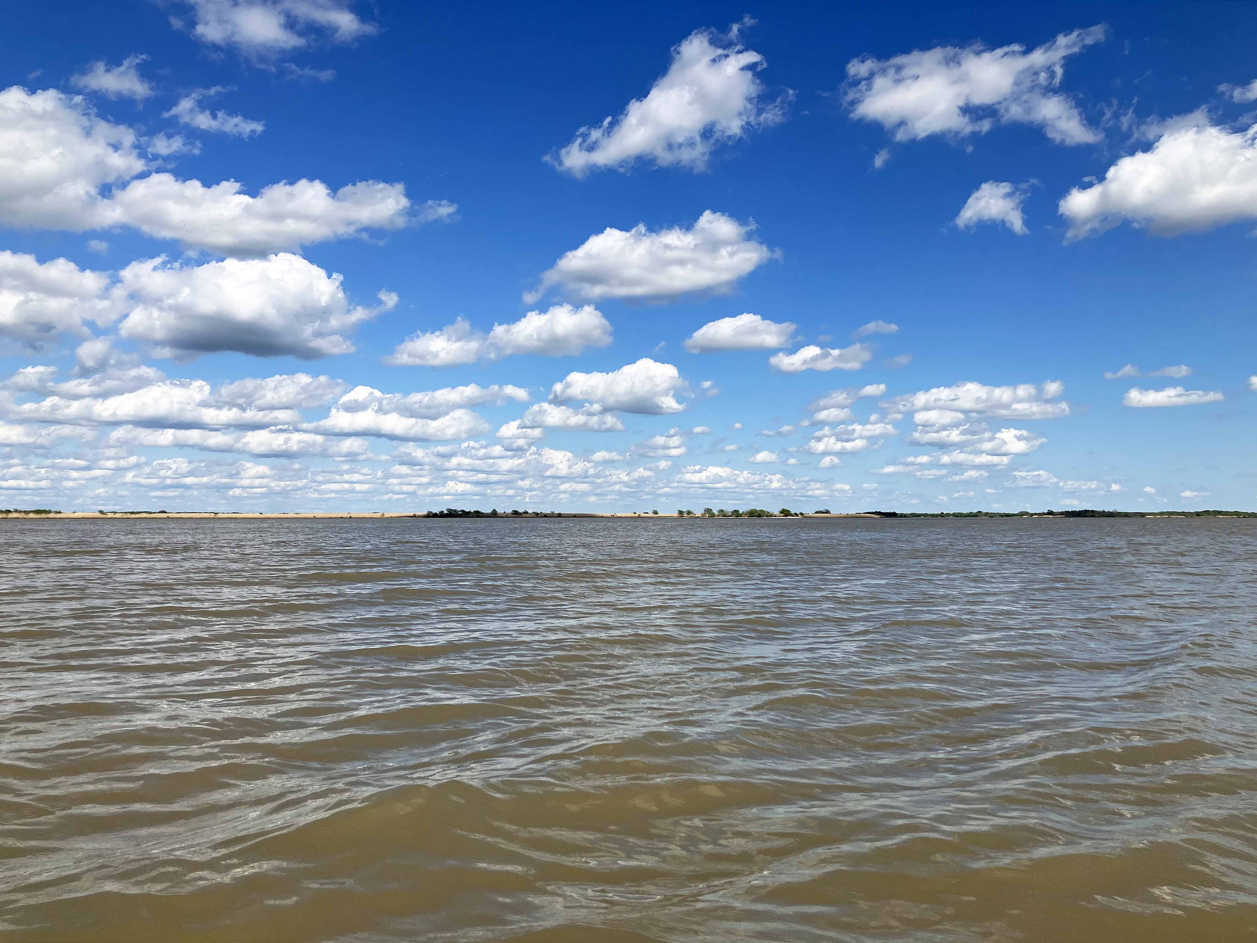
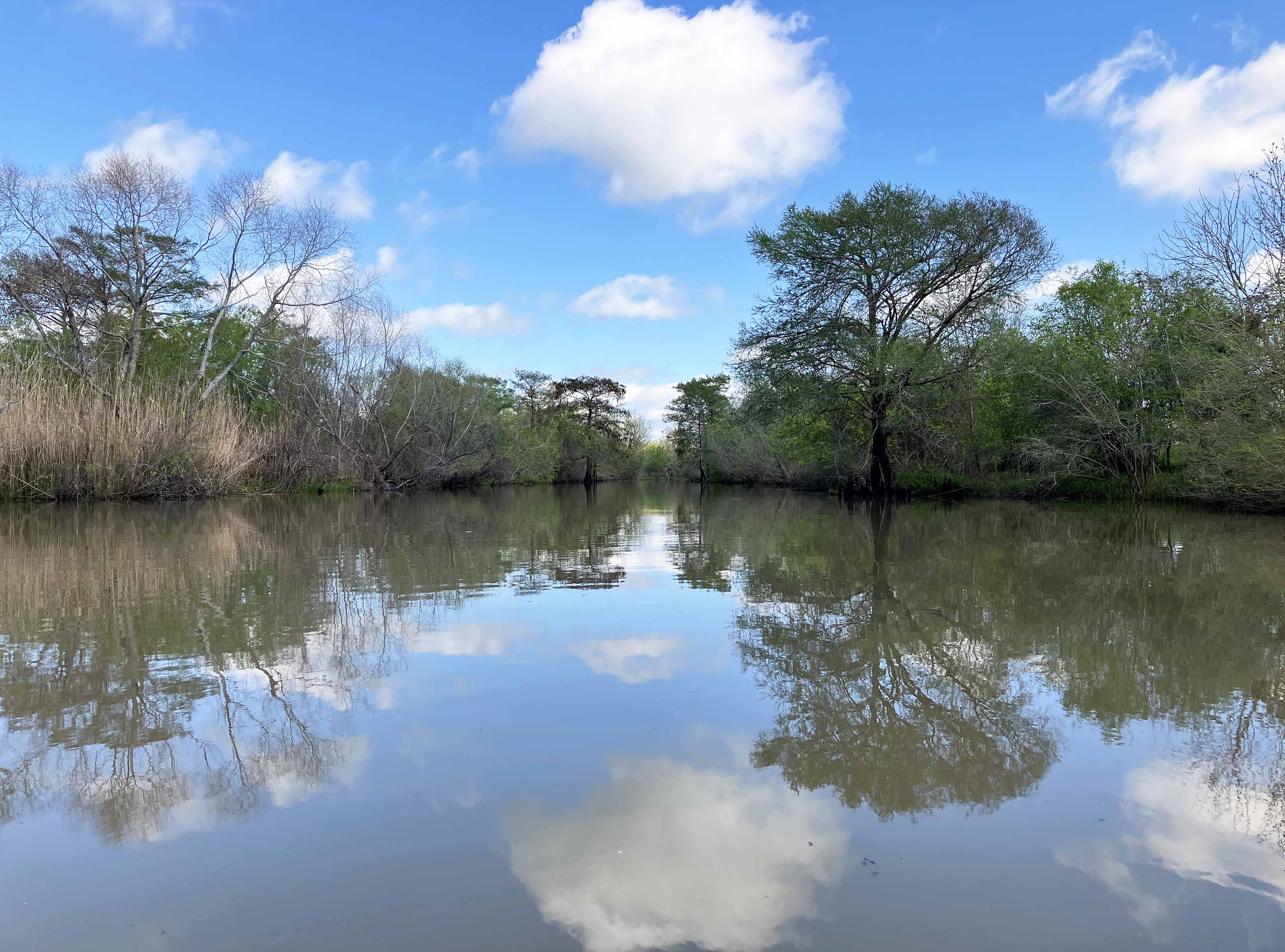
Above: Nice spotted clouds.