Trinity River, Lost Lake, Lost River, Hugo Point Park B
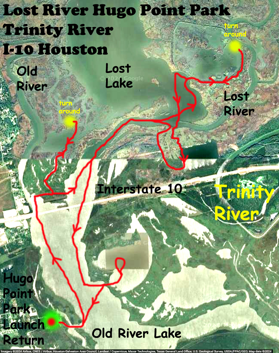
Another kayak trail trip map launching out of Hugo Point Park south of I-10 near Houston. The water level on this day had dropped considerably from the previous day. As the pictures show, many areas were mudflats and paddling was very choppy along the shores of the lake. At the yellow dot turnaround on the upper left side of the map there was just no way to go any further, too low. The other yellow dot turnaround was due to a earthen barrier that ended the channel. Some of the trail explores the perimeter of, for lack of a better term, the geometric enclosure, seen to the east of Lost Lake. Even with water low there is so much to paddle here so that issue did not really limit the trip. Lots of alligators. This is a place that can be revisited again and again, some longer trips up to The Cutoff and back might be fun.
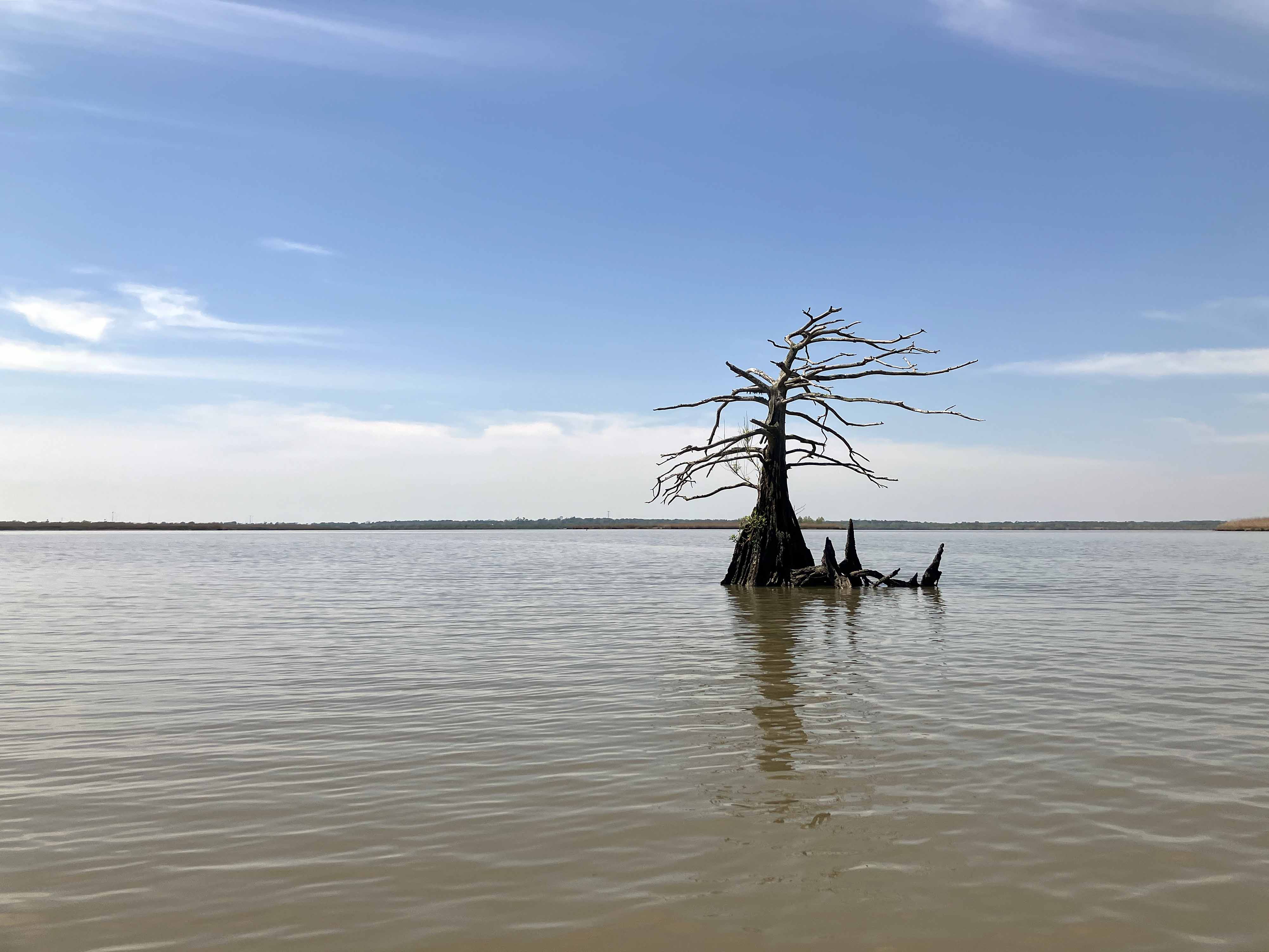
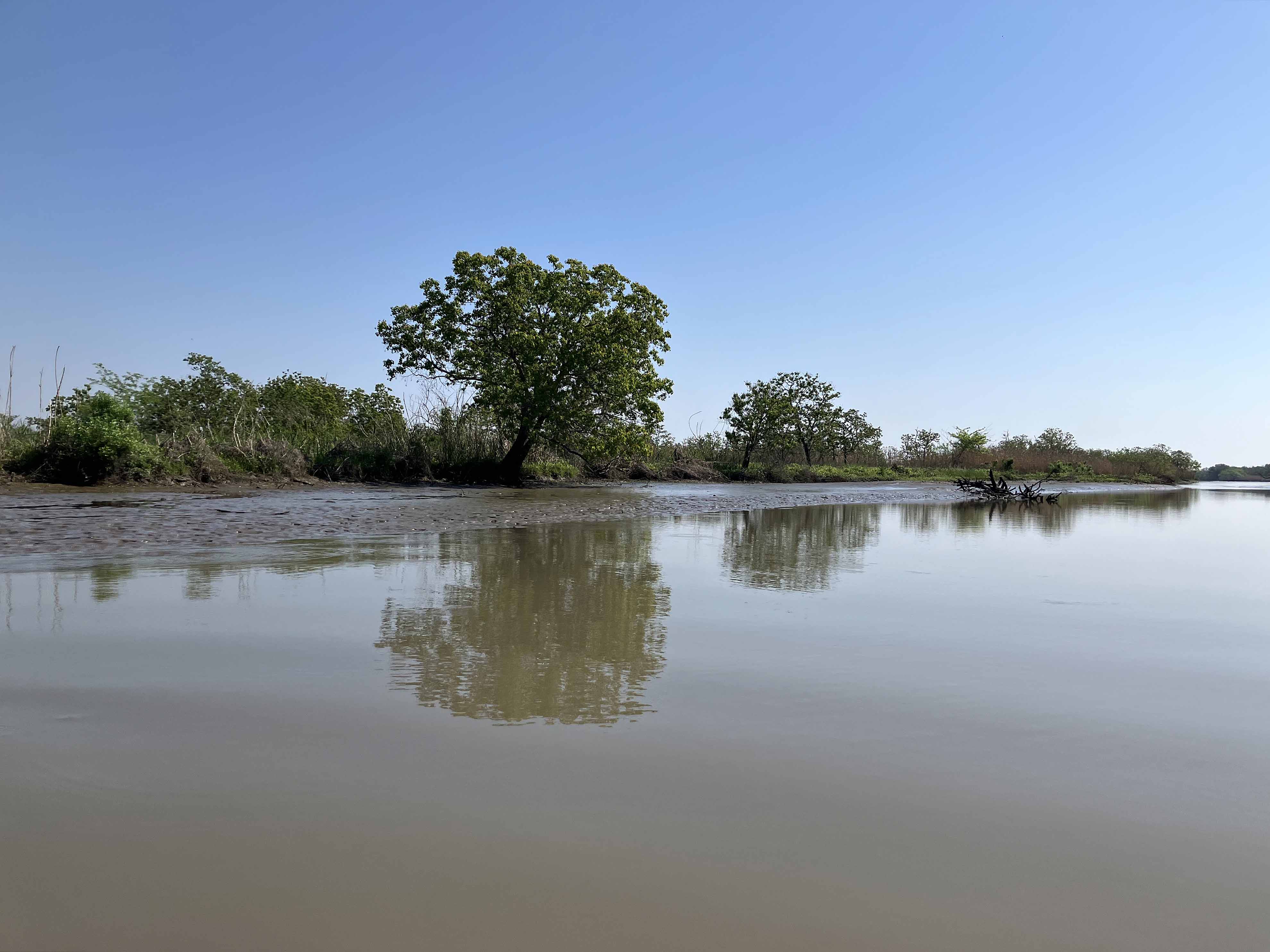
Above: Lonely tree.
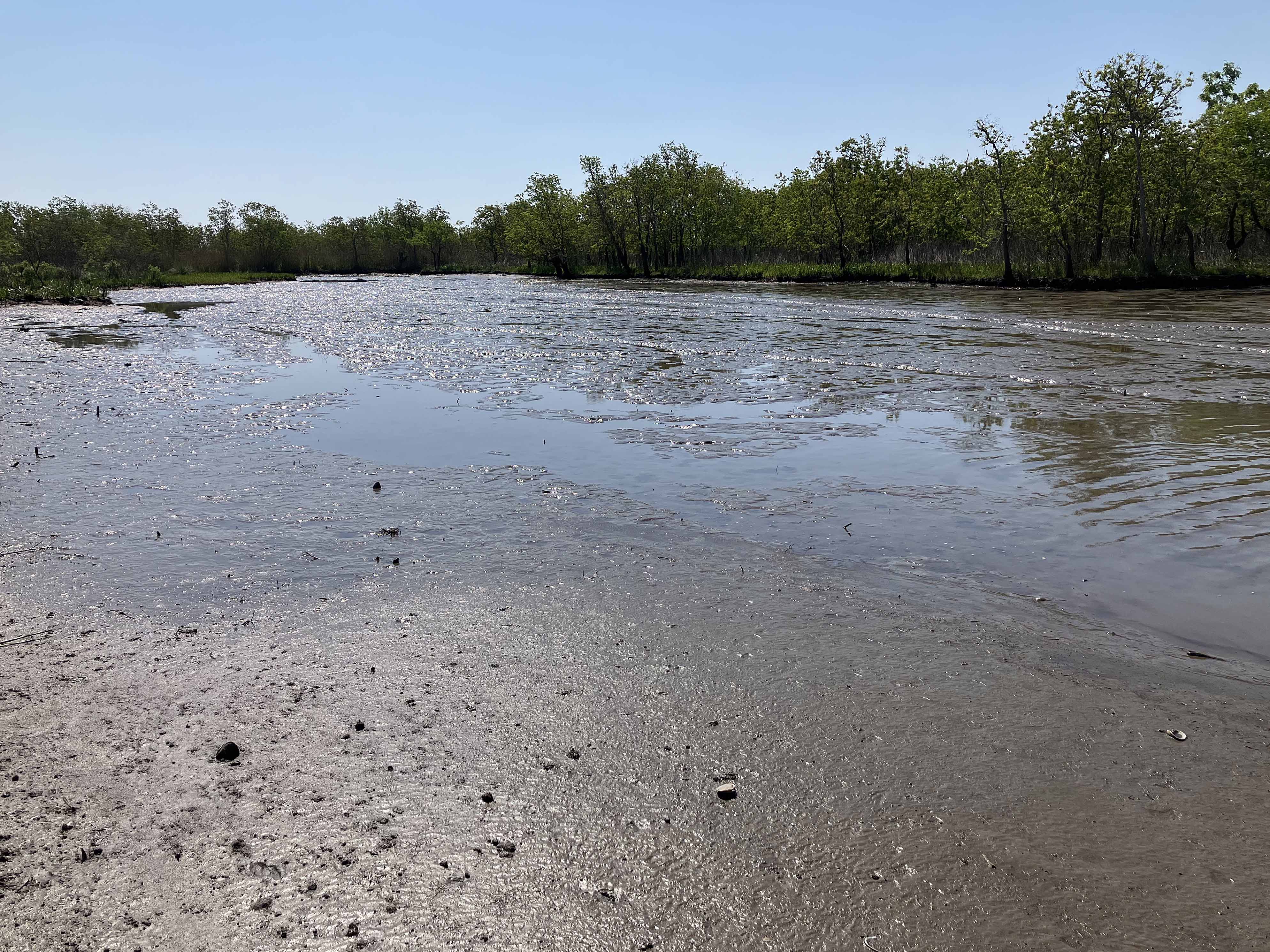
Above: Today was such low water, all mud here.

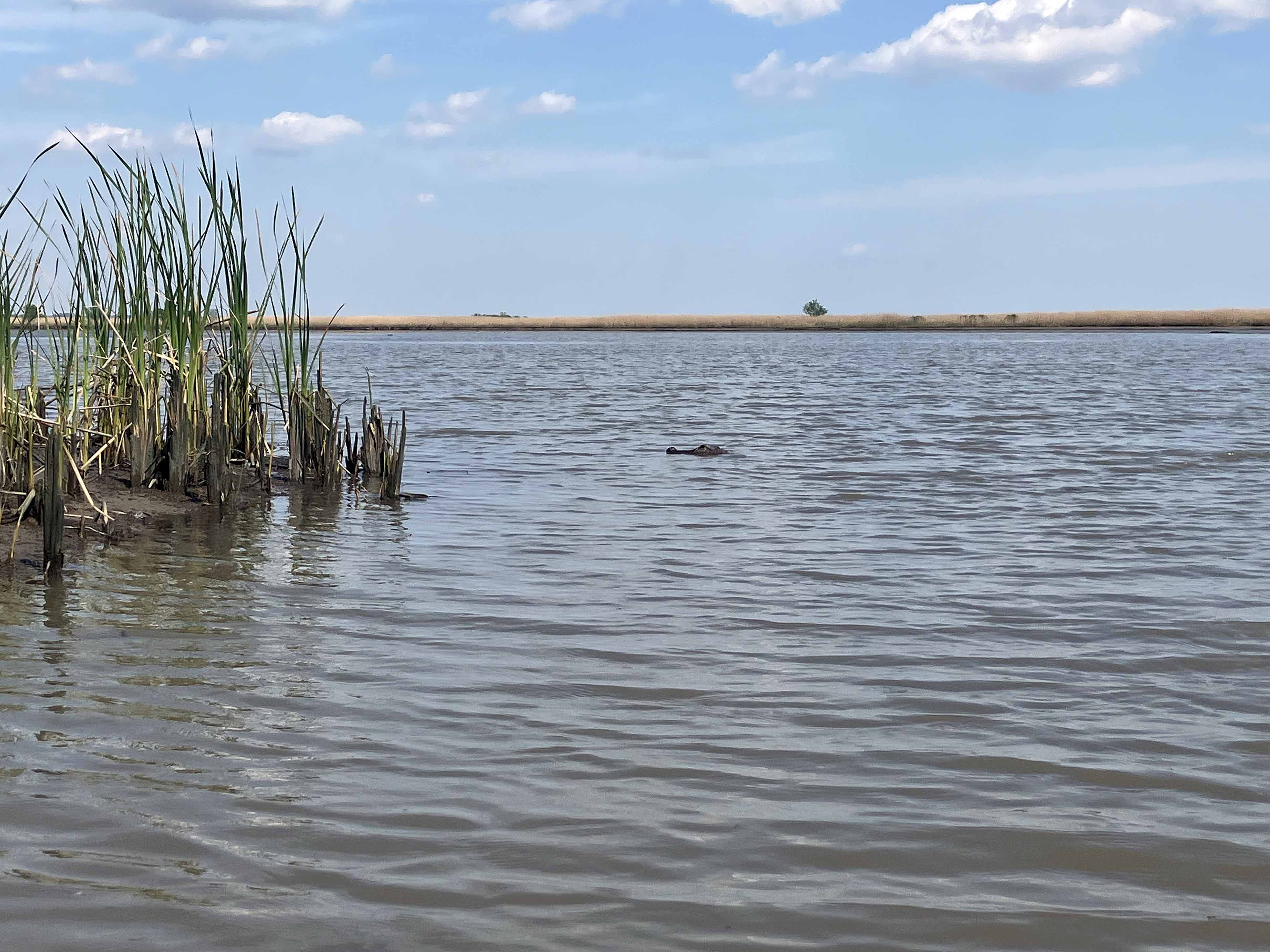
Above: Alligator in the water.
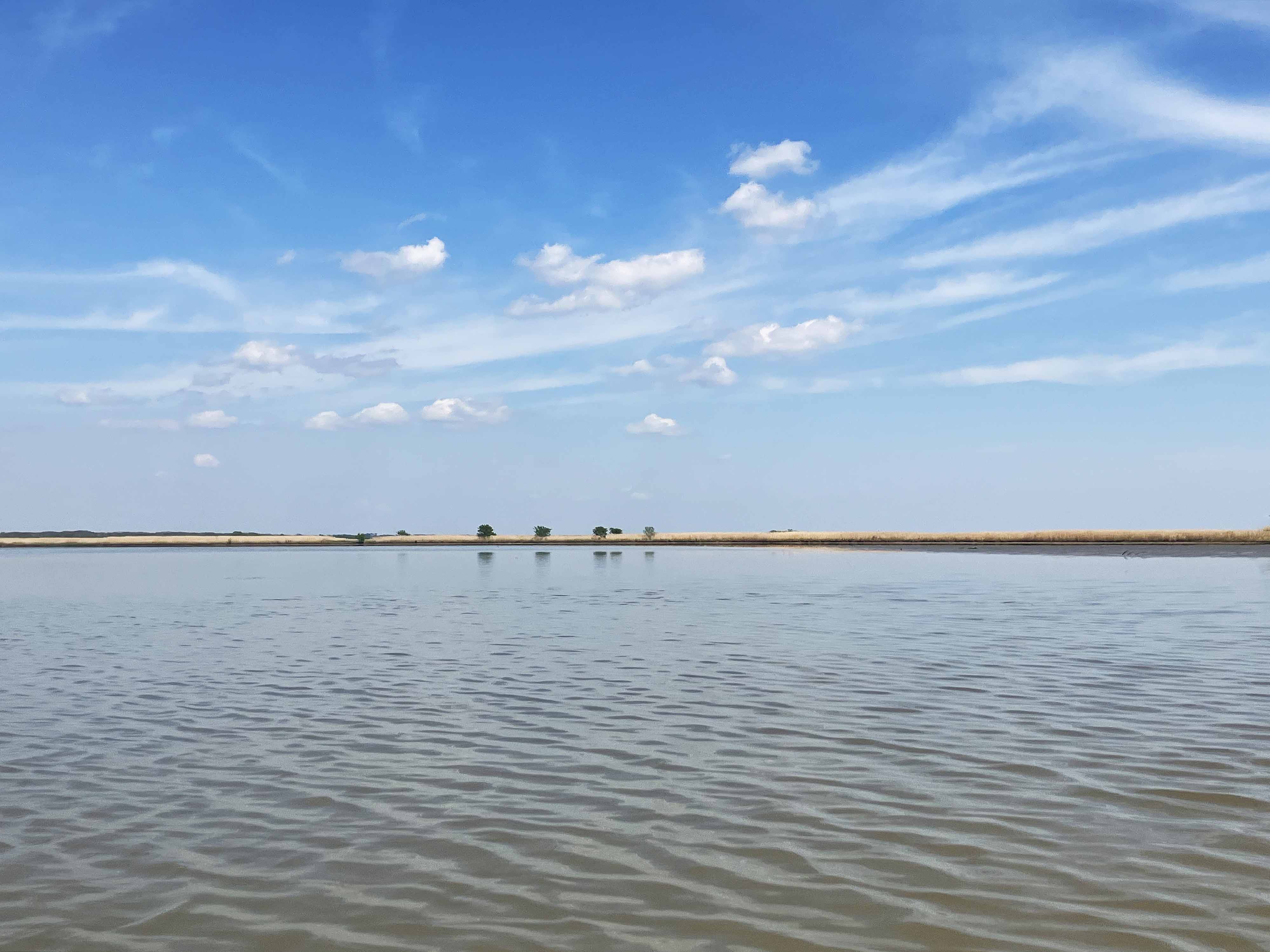

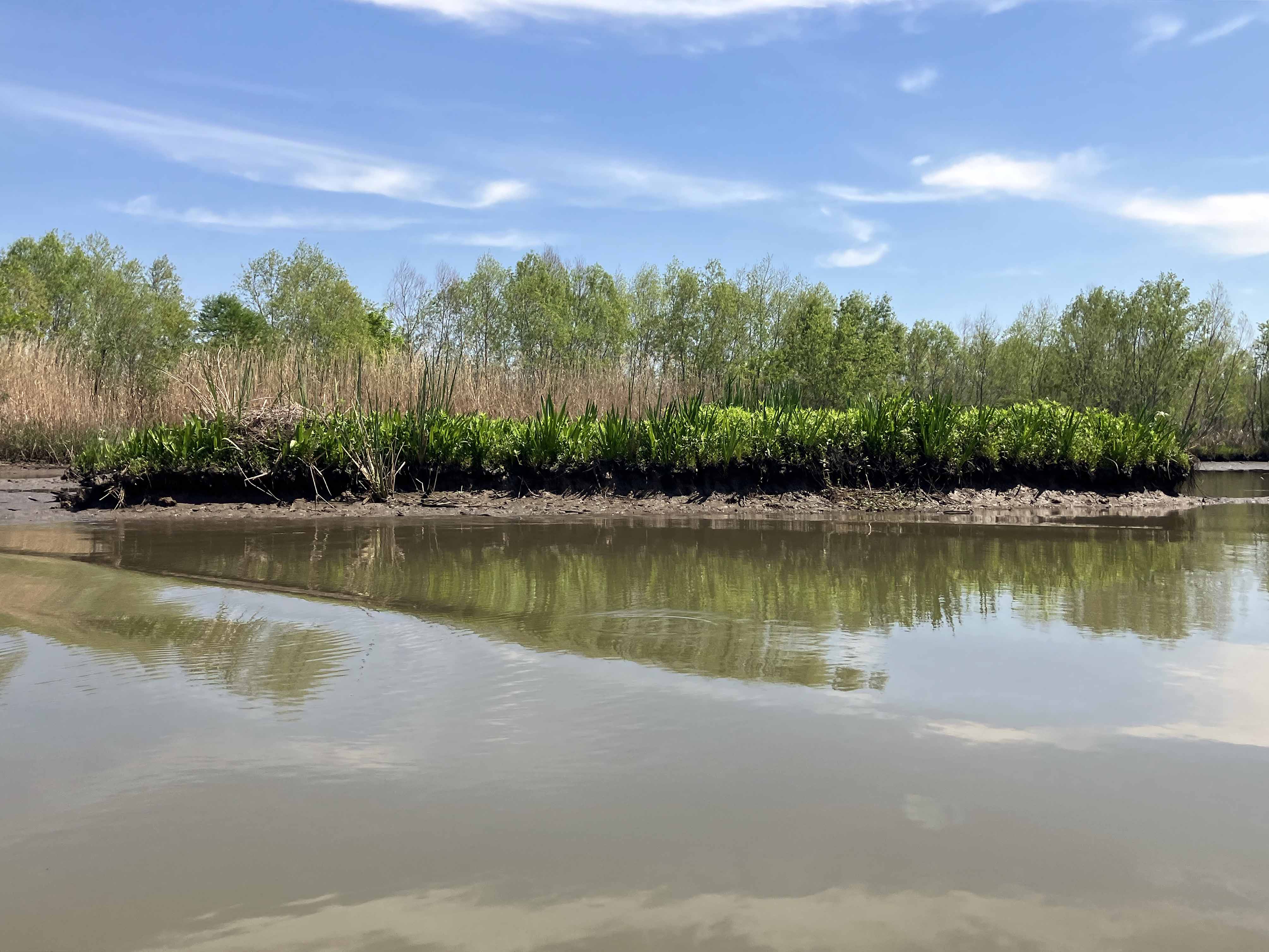
Above: Muddy shoreline.
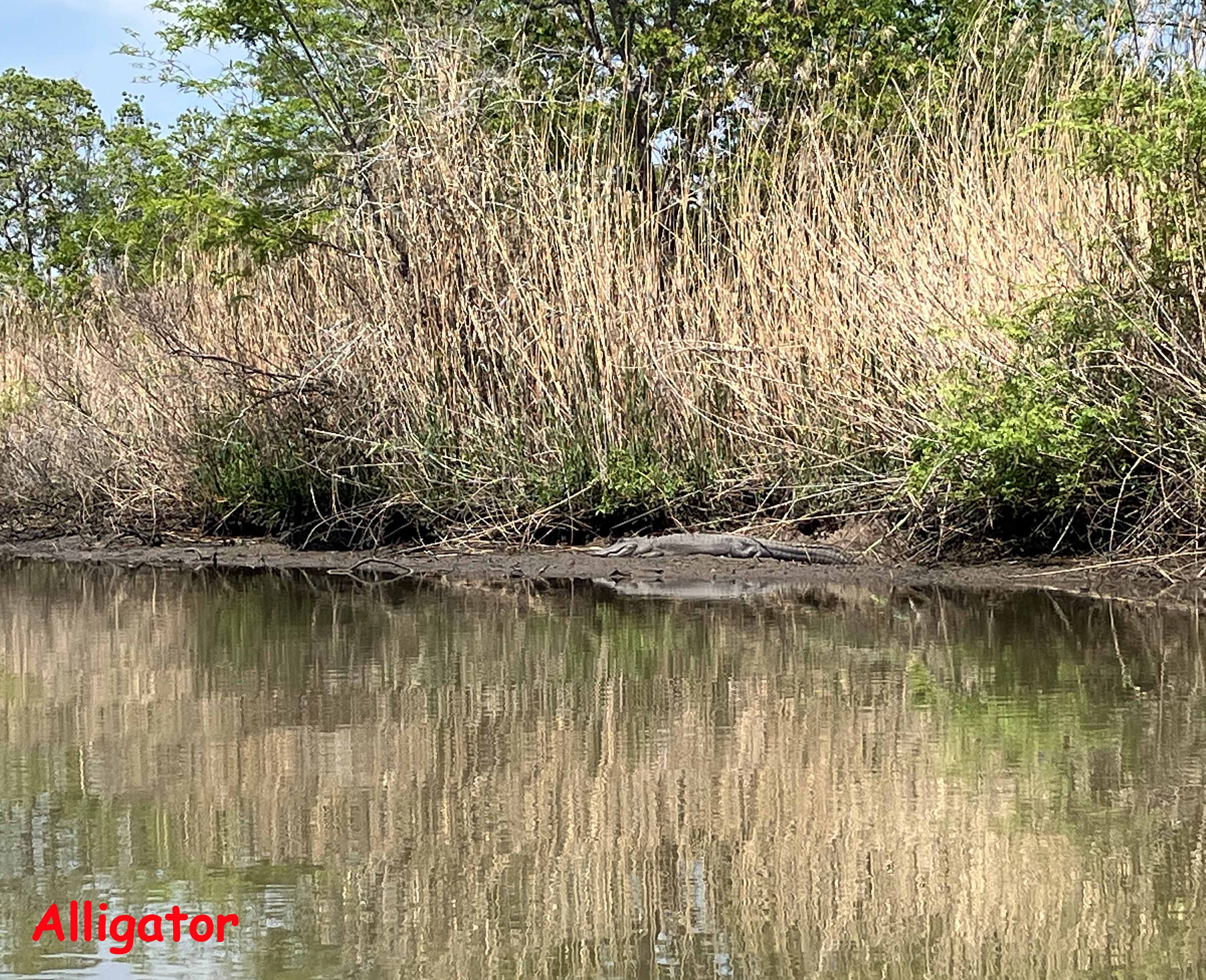
Above: An alligator is watching.
