Upper Ouachita NWR A Kayak Paddle Trip
The Upper Ouachita NWR is incredible. I have done multiple trips here (labeled A, B, C…etc.) and it has it all–interesting and varied paddle routes, great scenery, the big Ouachita River, and numerous pools, sloughs, branches to explore. The NWR is a large tract of land in north central Louisiana. It’s just south of the Felsenthal NWR in Arkansas, so that these two tremendous paddle areas are right next to one another. The Upper Ouachita area is very isolated and not a good place to run into trouble.
For one or two trips here I stayed at Lake D’Arbonne State Park near Farmersville to the southwest. But that’s a bit far and for other trips I stayed at primitive sites in the Finch Bayou Recreation Area run by the Corps of Engineers. It’s not super great but one of the main launch sites on the Ouachita River is right there. And even though it’s a ways down Alabama Landing Road Public Landing Road (or Hooker Hole Road), it’s a surprisingly busy launch. The roads there seemed to always have long puddles in them; if I was unfamiliar with a particular puddle I would usually get out and walk through it first just to see. Some roads in the refuge are impassable at high water levels.
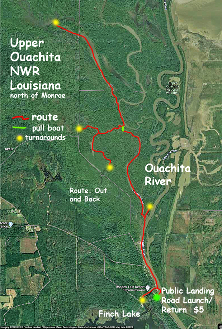
The Ouachita River flows out of the Felsenthal Lock and Dam about 18 miles upstream. But the trips in this section stay below that point. Some, like the one in the map above, launch at the Finch Bayou Rec Area and go upstream to find side channels to explore. The route above is the first one I did here. The plan was to paddle up the Ouachita to a side channel going west and go from there as far up as possible. At the most northern turnaround the water started to get shallow. According to google maps this northerly region looks kind of open but it wasn’t possible to do it when I went. Some of the remote areas are shallow and filled with old trees and shrubs that block progress. Water levels in the Upper Ouachita NWR vary a lot and this means that large areas of the refuge can at one time be lakes, and at another time be dry land. A great first trip into the area, and I saw one alligator in one of the side channels.
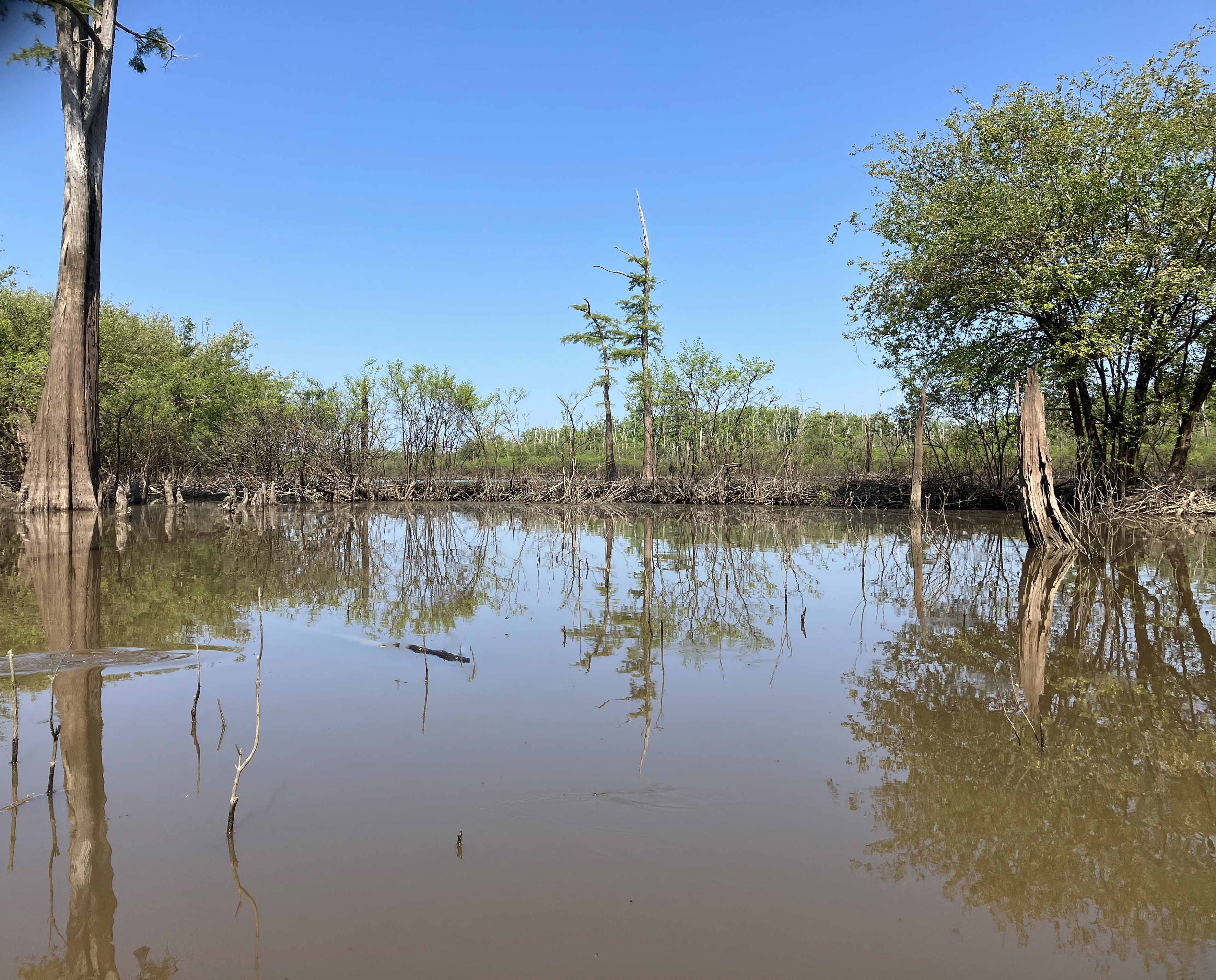
Above: Pretty characteristic look of the Upper Ouachita NWR.
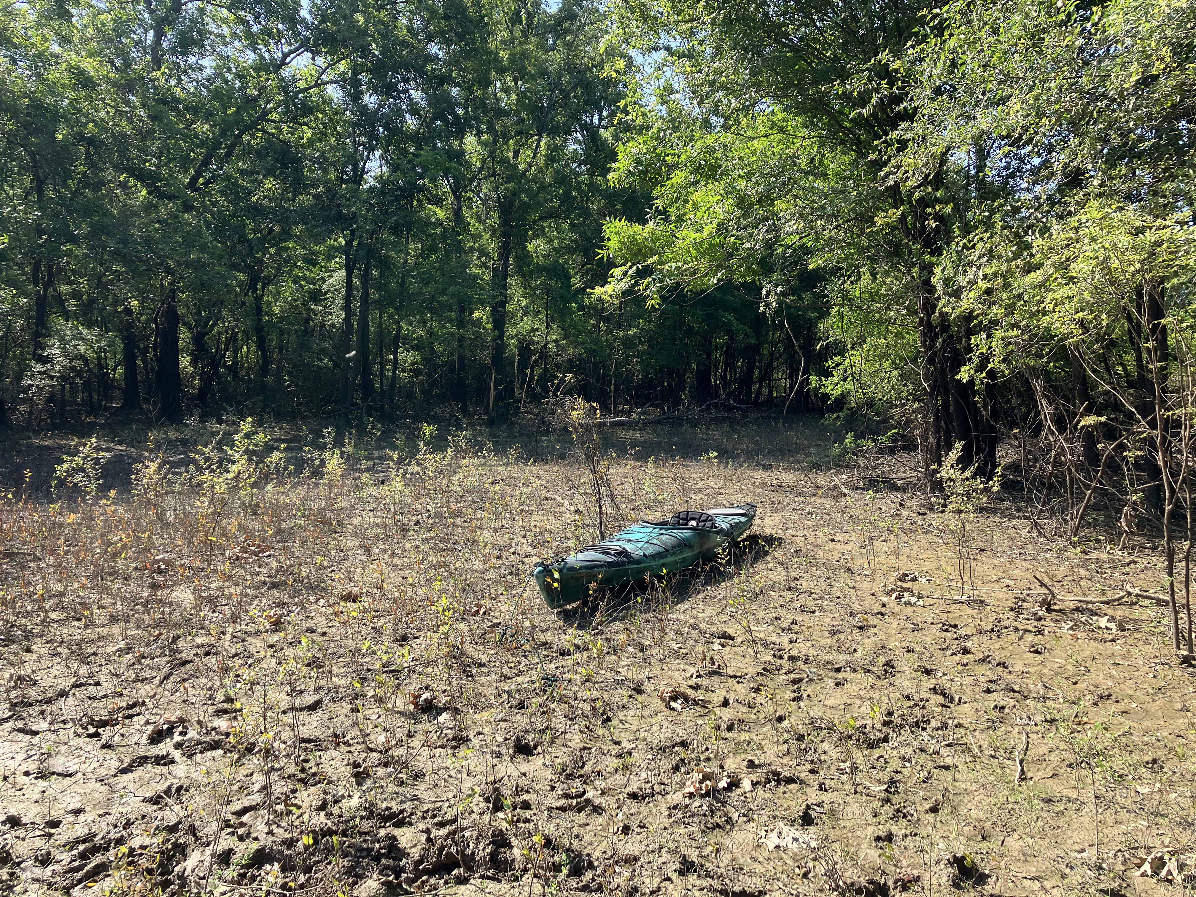
Above: Dragging the boat to go from point A to point B.

Above: Massive cypress.

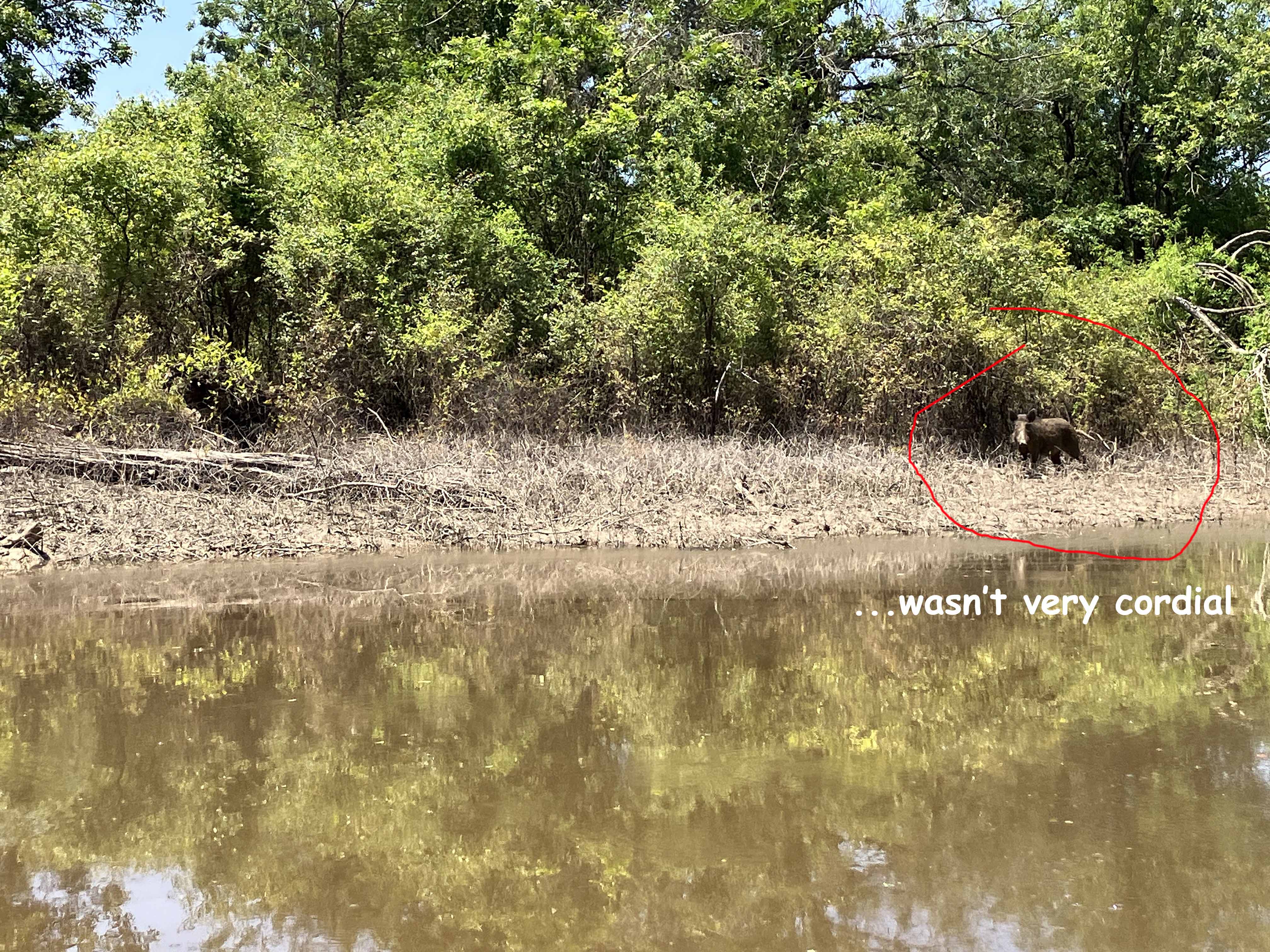
Above: Wasn’t very cordial.
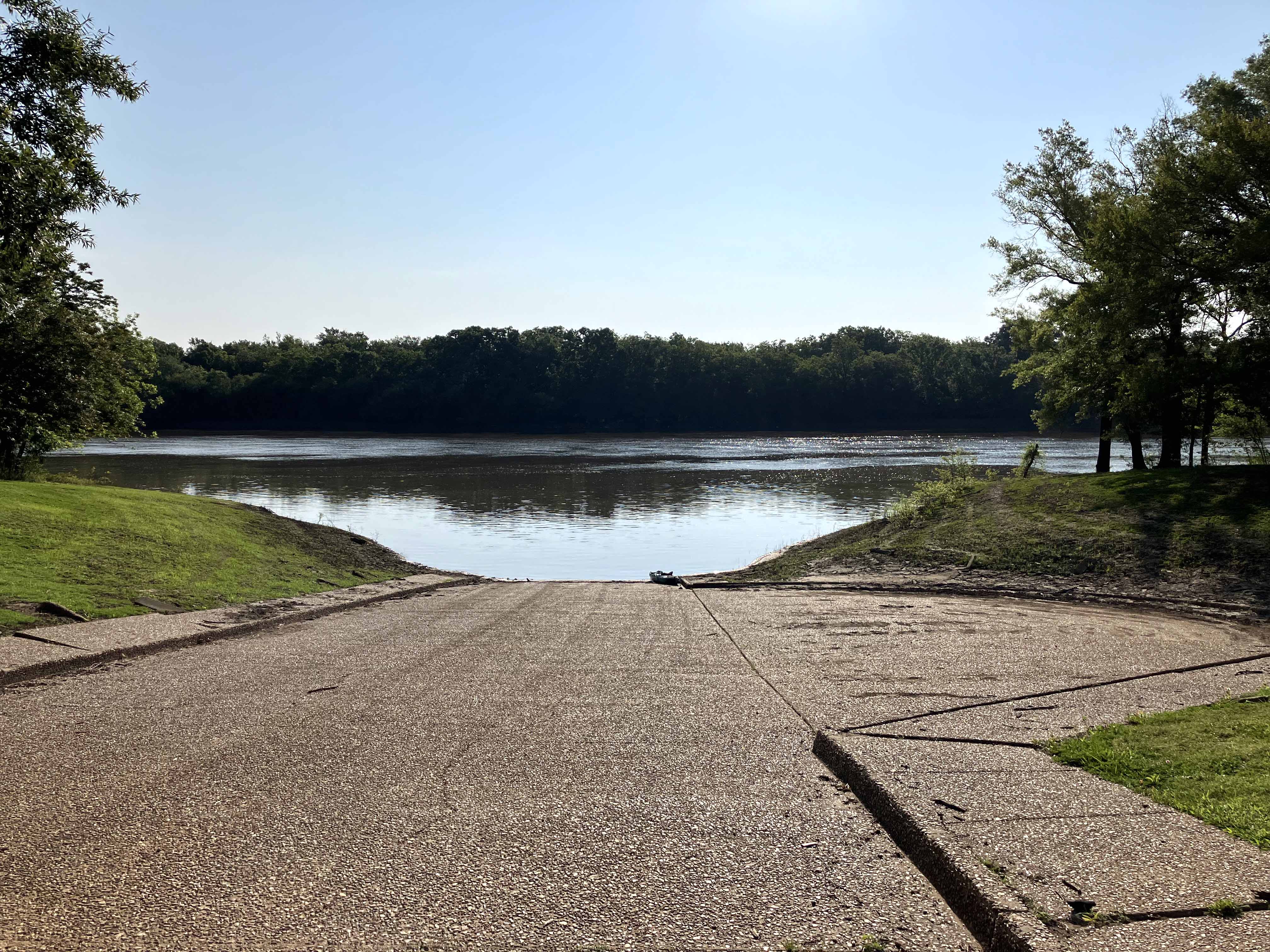
Above: The launch at the Finch Bayou Rec Area.
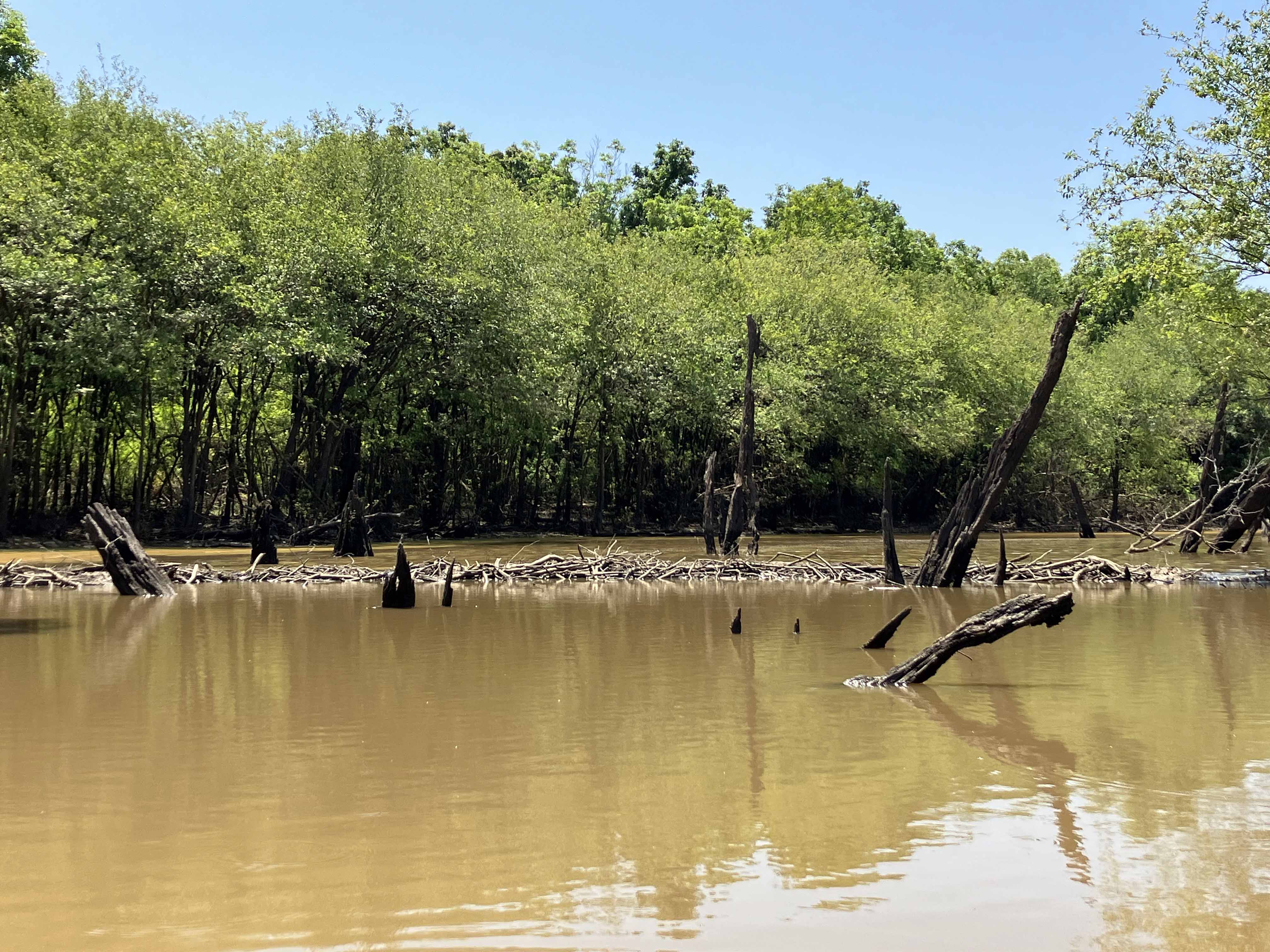
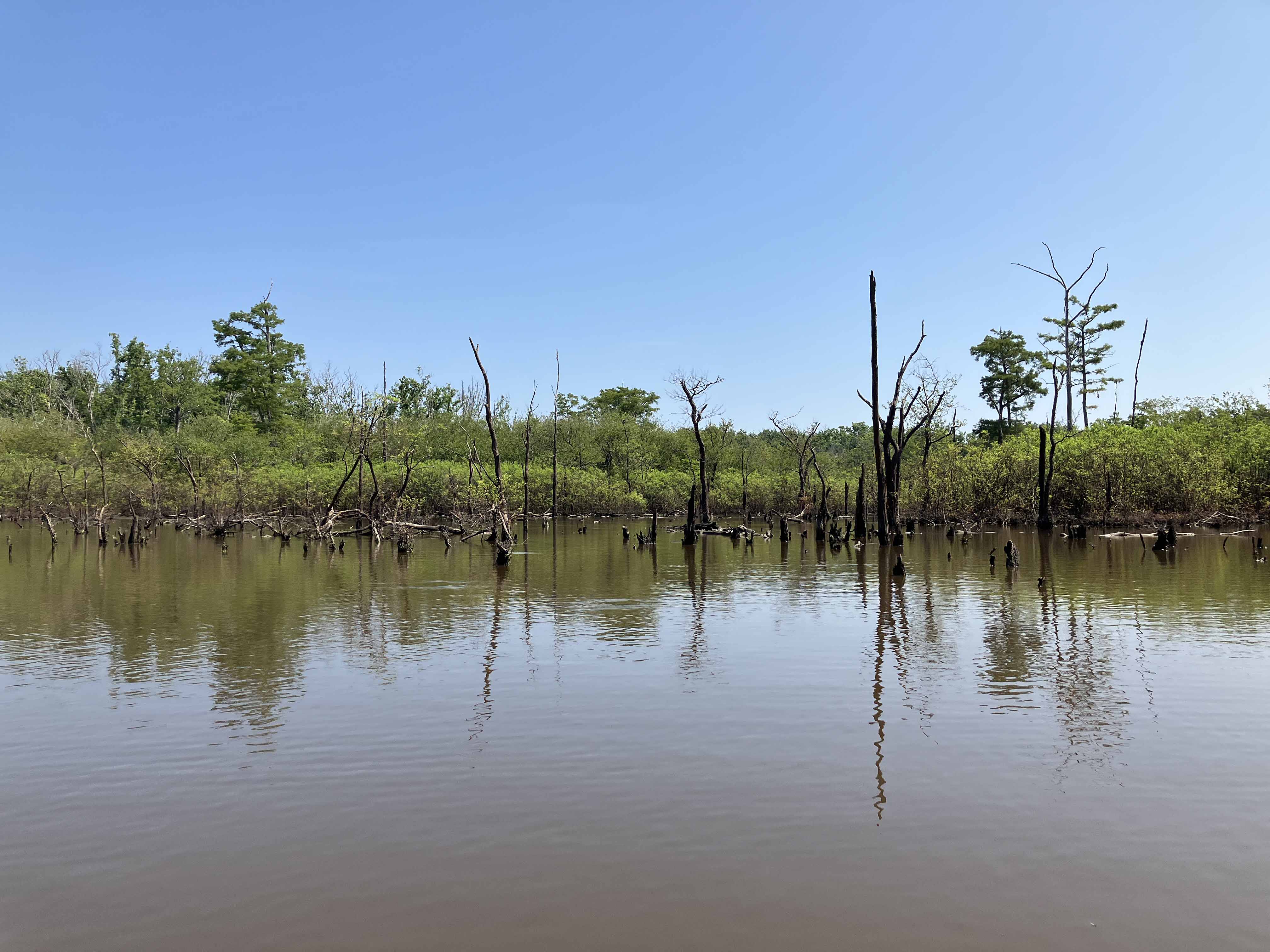
Above: A long beaver dam. These can result in upstream lakes that look paddleable on satellite maps but often aren’t.
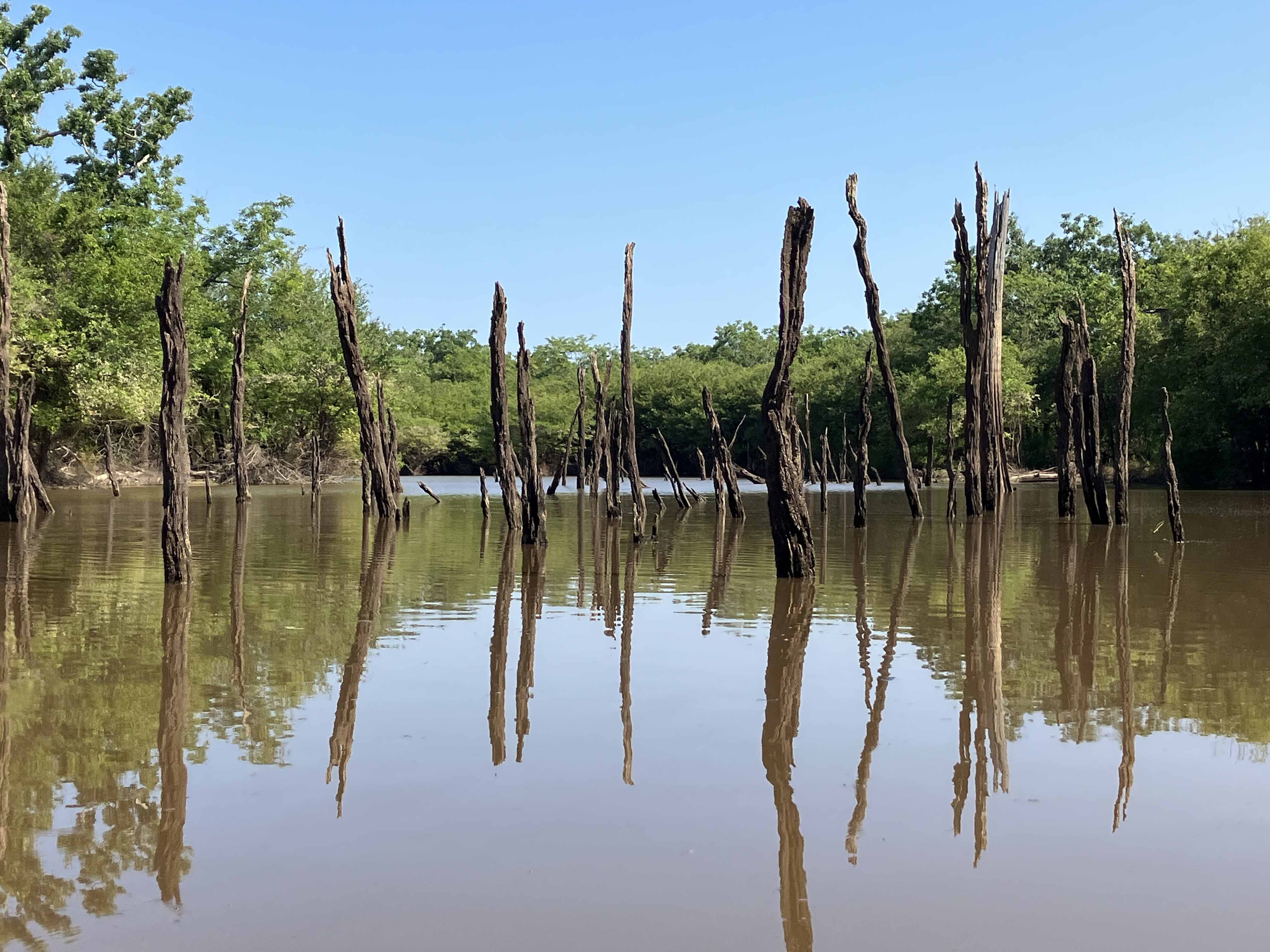
Above: Typical paddle scenery on this side of the river.