Upper Ouachita NWR B Kayak Paddle Trip
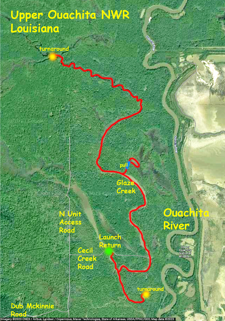
This paddle route in the Upper Ouachita NWR launches at a spot along Cecil Creek Road, which branches off of N Unit Access Road. The purpose of launching here was to avoid the up and back on the Ouachita that you have to do if you launch at Alabama Landing. Note that access to this point when the water is high isn’t possible, the roads are submerged. From the put-in the route goes up into Glaze Creek to a cross or intersection of channels shown on the map. It looks like you could go further but a lot of the trip even to the point of the intersection was already in just a few inches of water and involved a lot of mud chop paddling. Maybe another day.

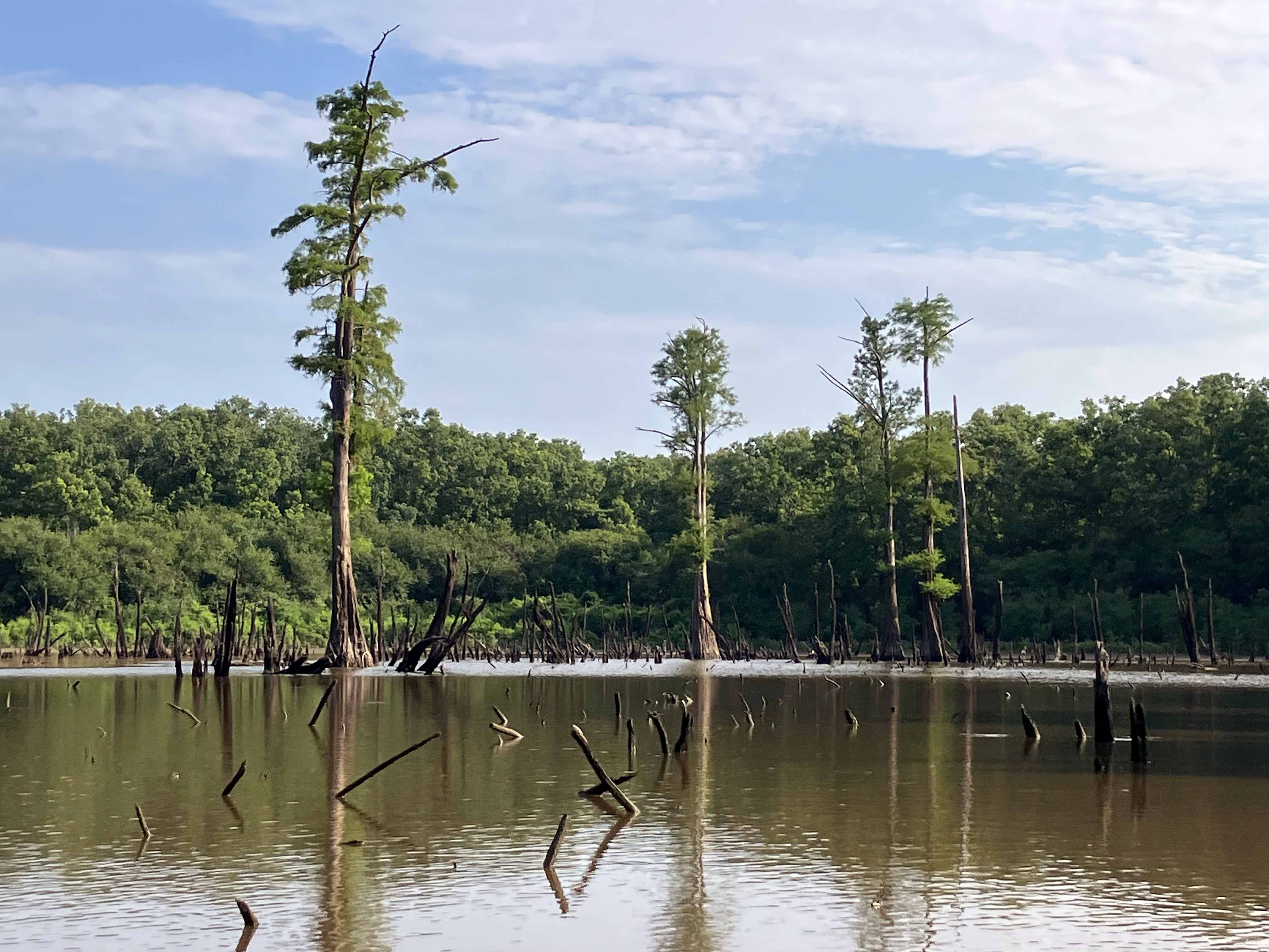
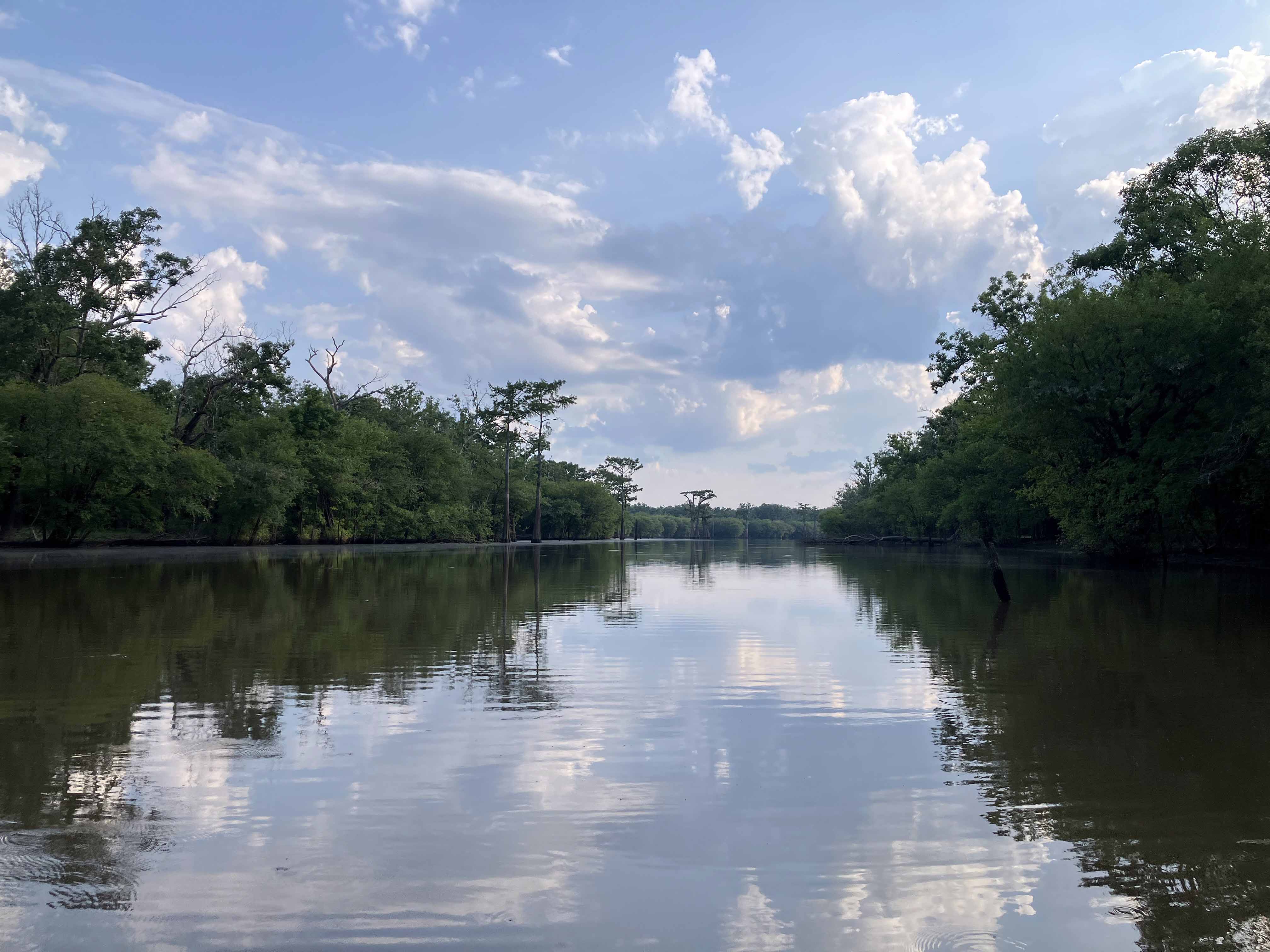
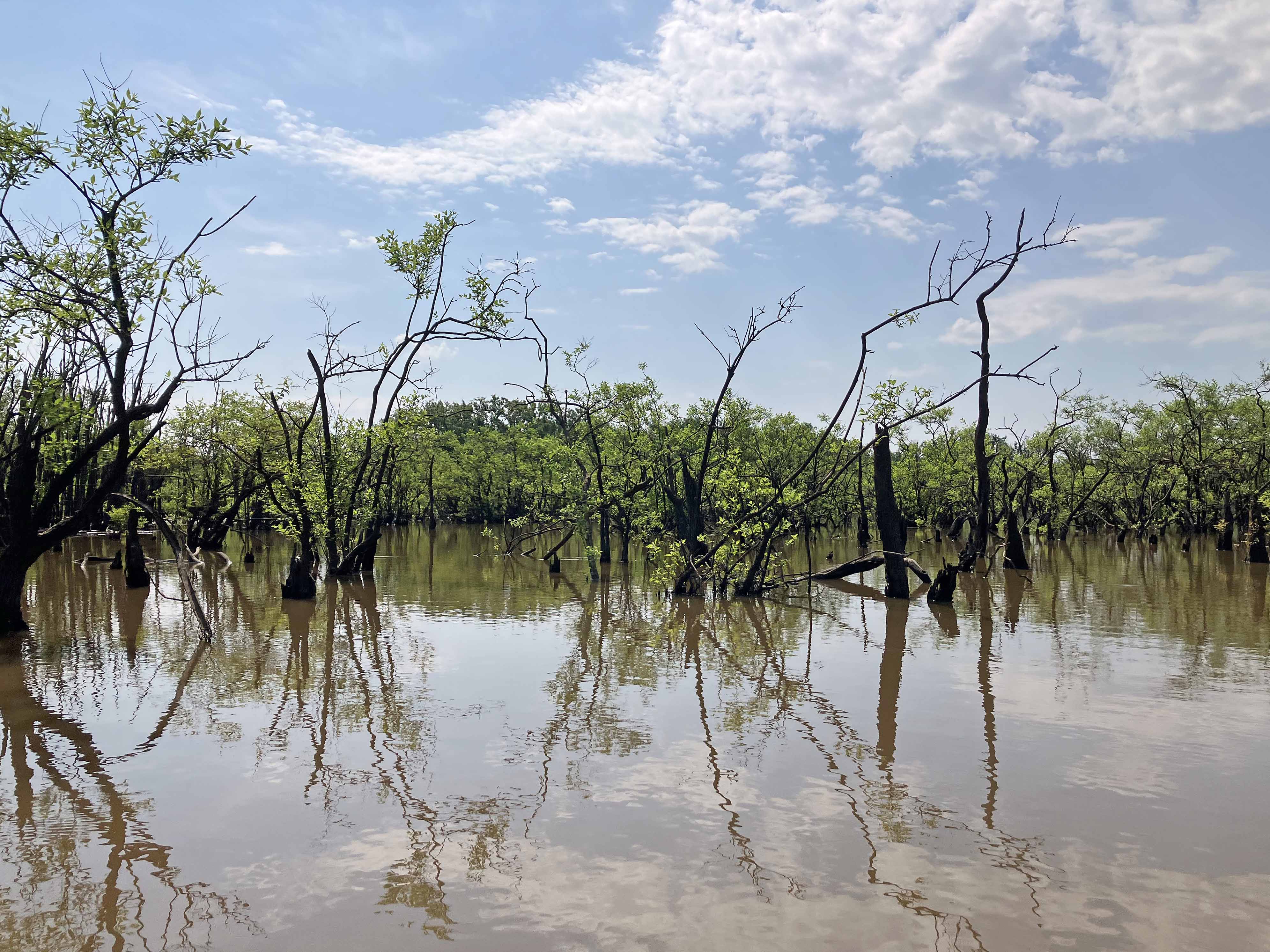
Above: The look of the Upper Ouachita NWR area. Pools and stumps.
Above: Busy.
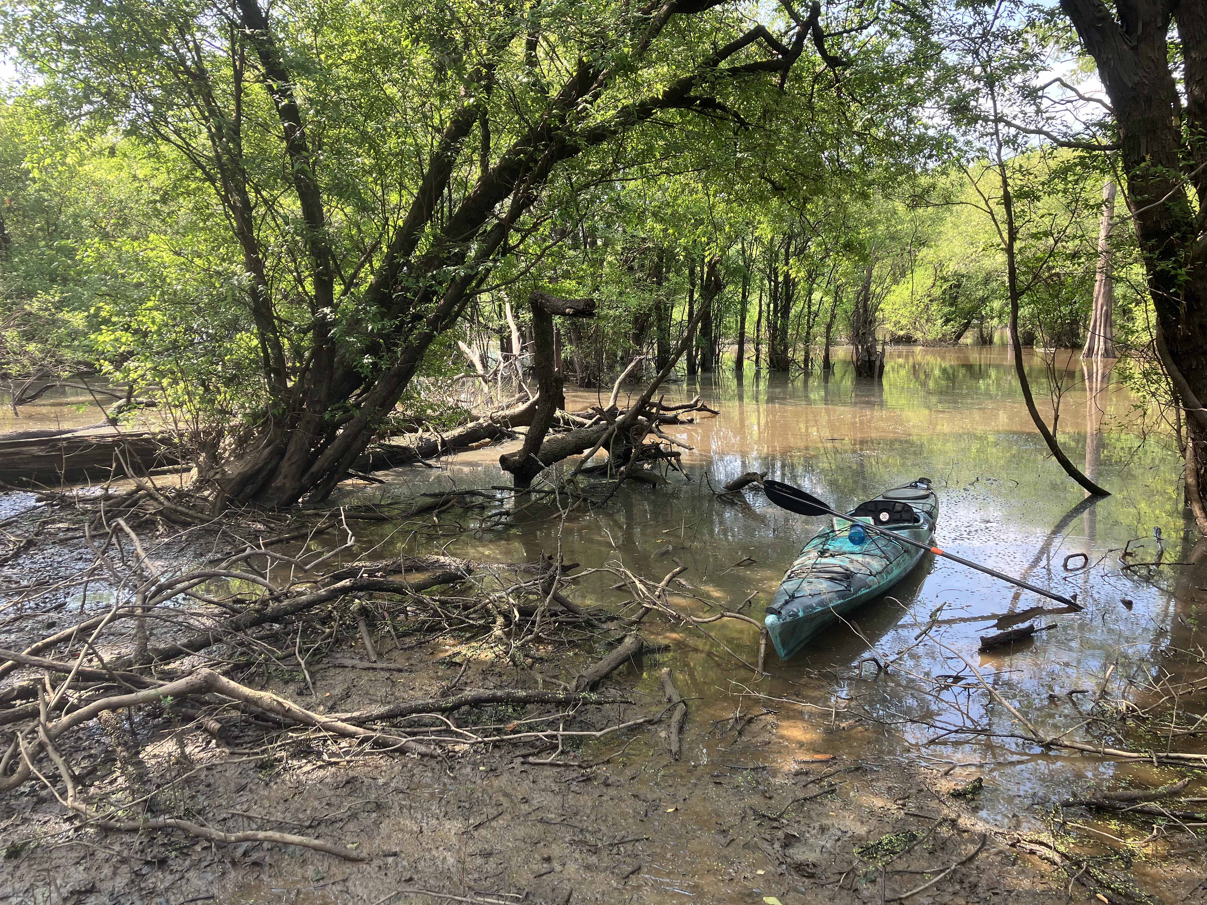
Above: When the water is low the shores are tangles and mud.
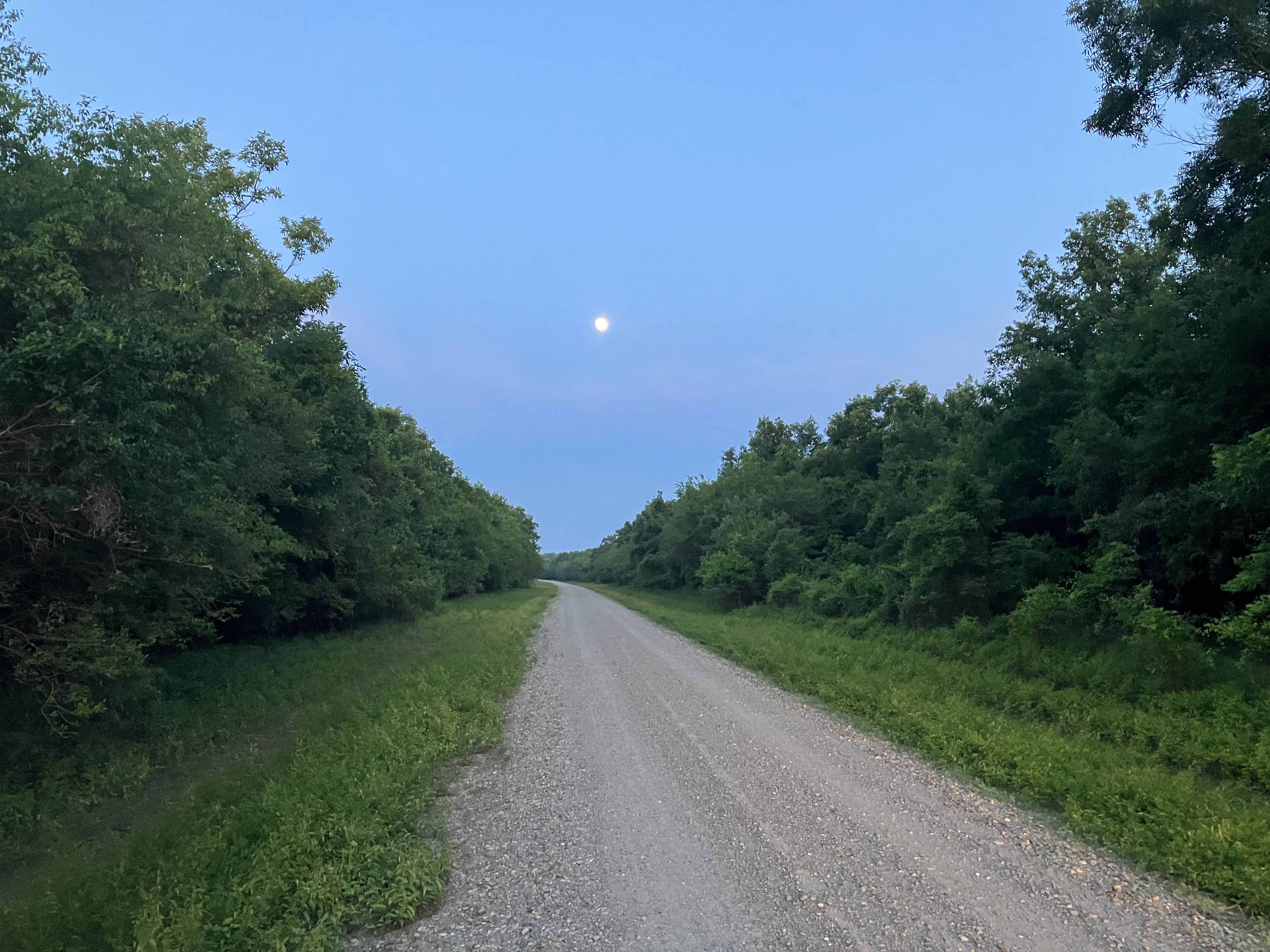
Above: On one of the refuge gravel roads.
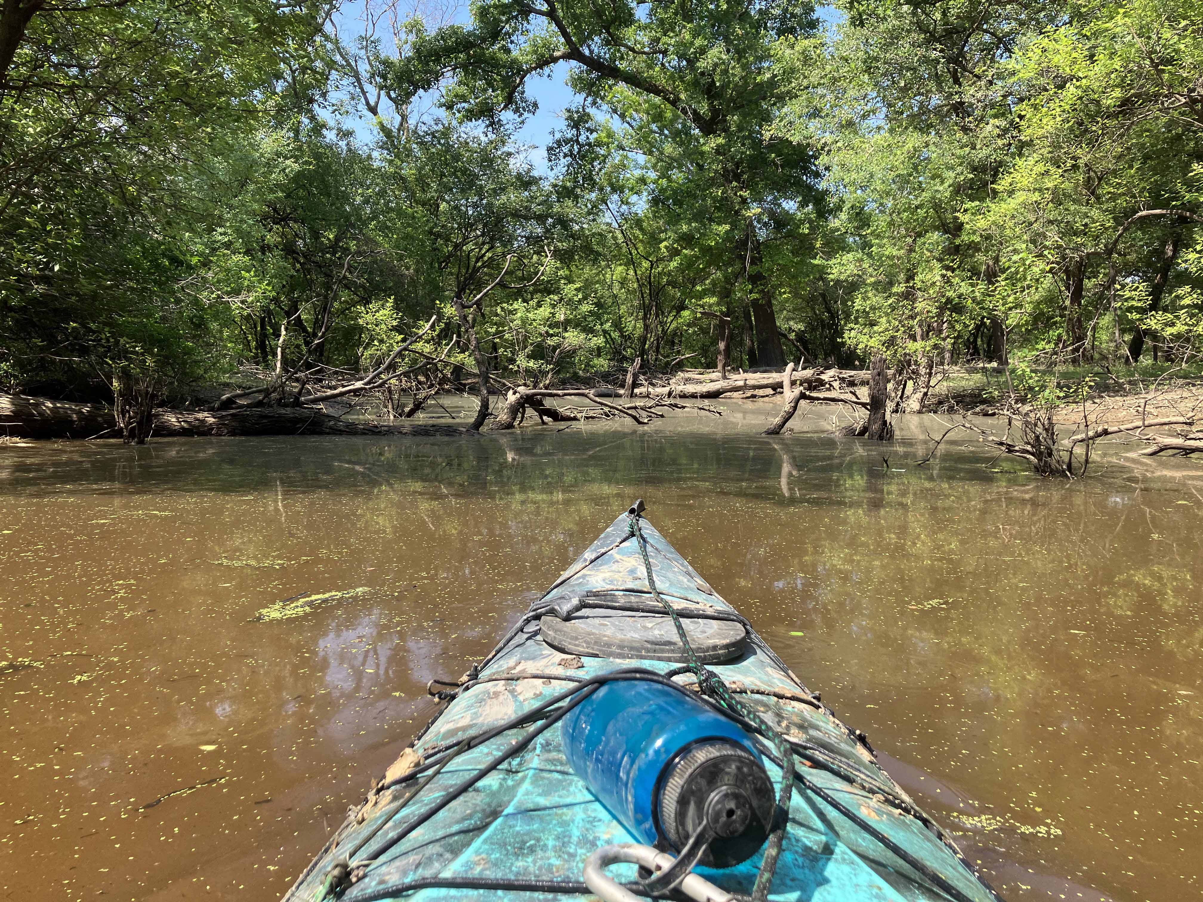
Above: About to get messy.