Upper Ouachita NWR F Kayak Paddle Trip
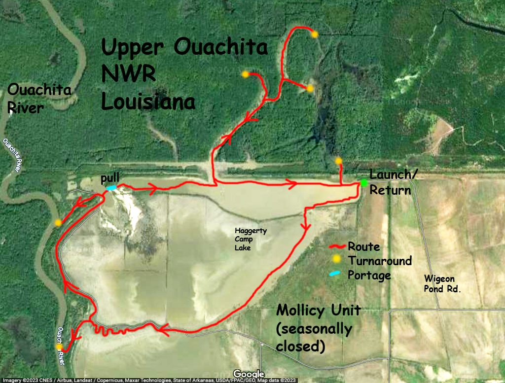
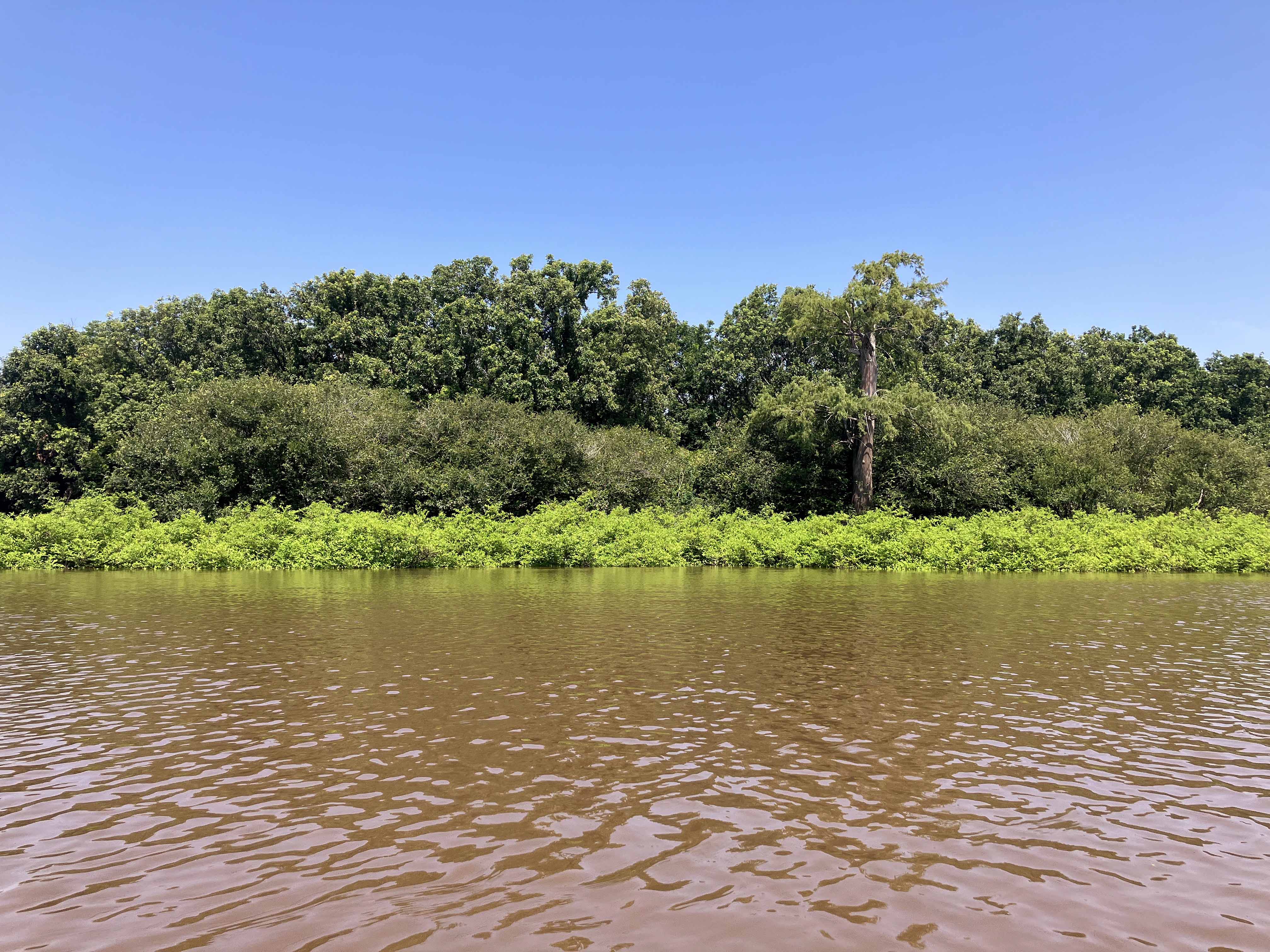
Kayak paddle trail route map in the Upper Ouachita NWR of Lousiana. With the Upper Ouachita area being so large it seems there are always more paddle trails to design. This one launches at the northeast corner at the end of Wigeon Pond Road. It wasn’t so easy to get here, it’s on the other side of the refuge altogether, but it gives access to the Haggerty Camp Lake and to some of the boggy areas north. This was an interesting paddle; there were some really big cypress trees in the channel to the north, but the invasive shrubbery (is it buttonbush?) that thrives in shallow areas often made progress difficult or impossible. The satellite map says one thing, but the reality is different once you are there. The area (blue line) where the boat was pulled is near a huge open expanse that was all yellow green (see picture below). Sometimes the area in the above map is covered in water and you can paddle anywhere, other times when the water is low it’s mostly land. Note that upstream of here, farther up the Ouachita River in Arkansas, is the Felsenthal NWR, another great paddling location.
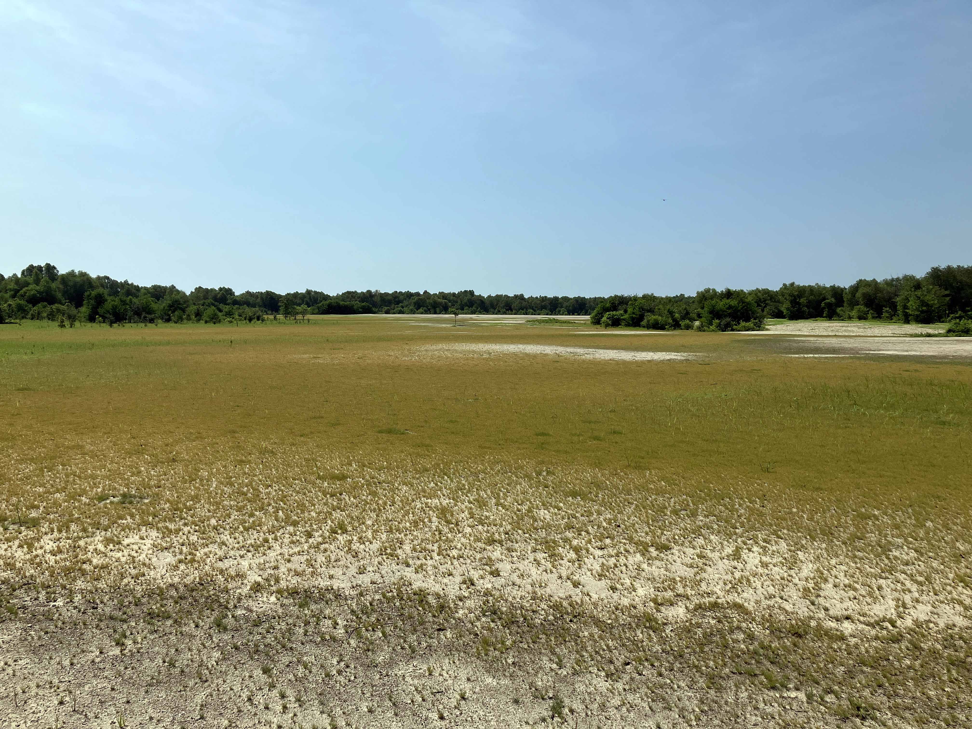
Above: Near the portage spot, huge stony field. Was hoping to see a bear loping across but no such luck.
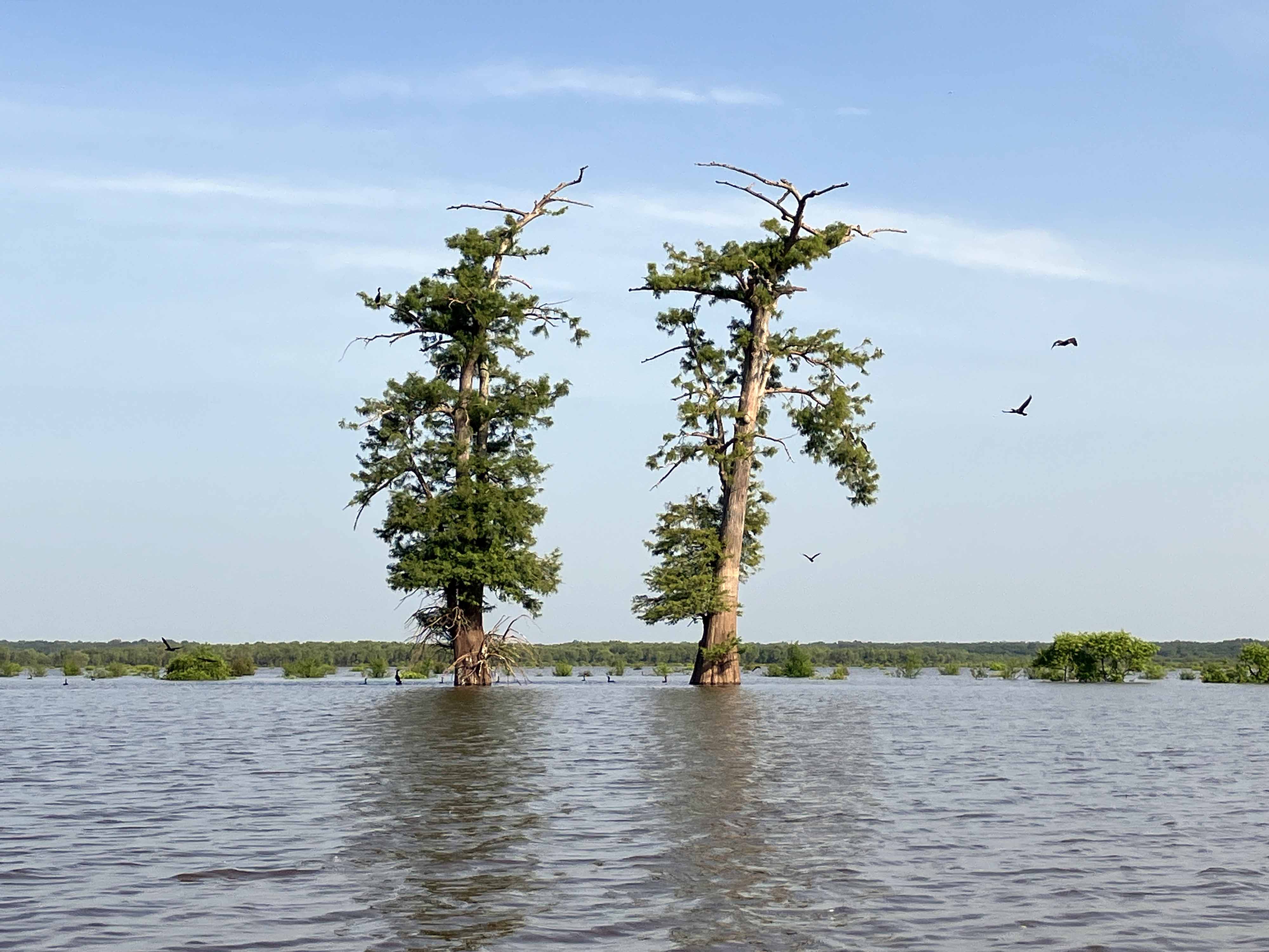
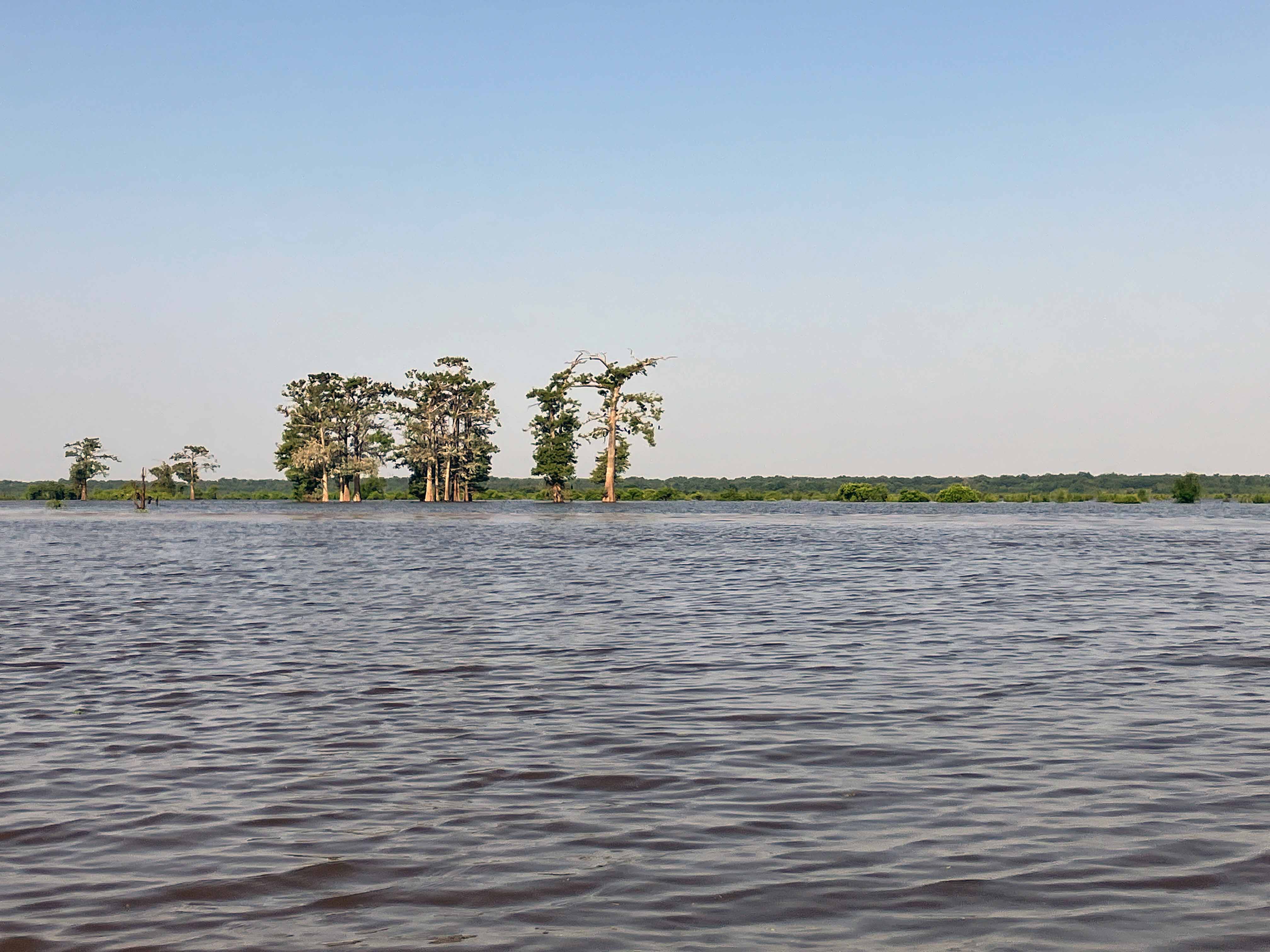
Above: Landmark trees help orientation.
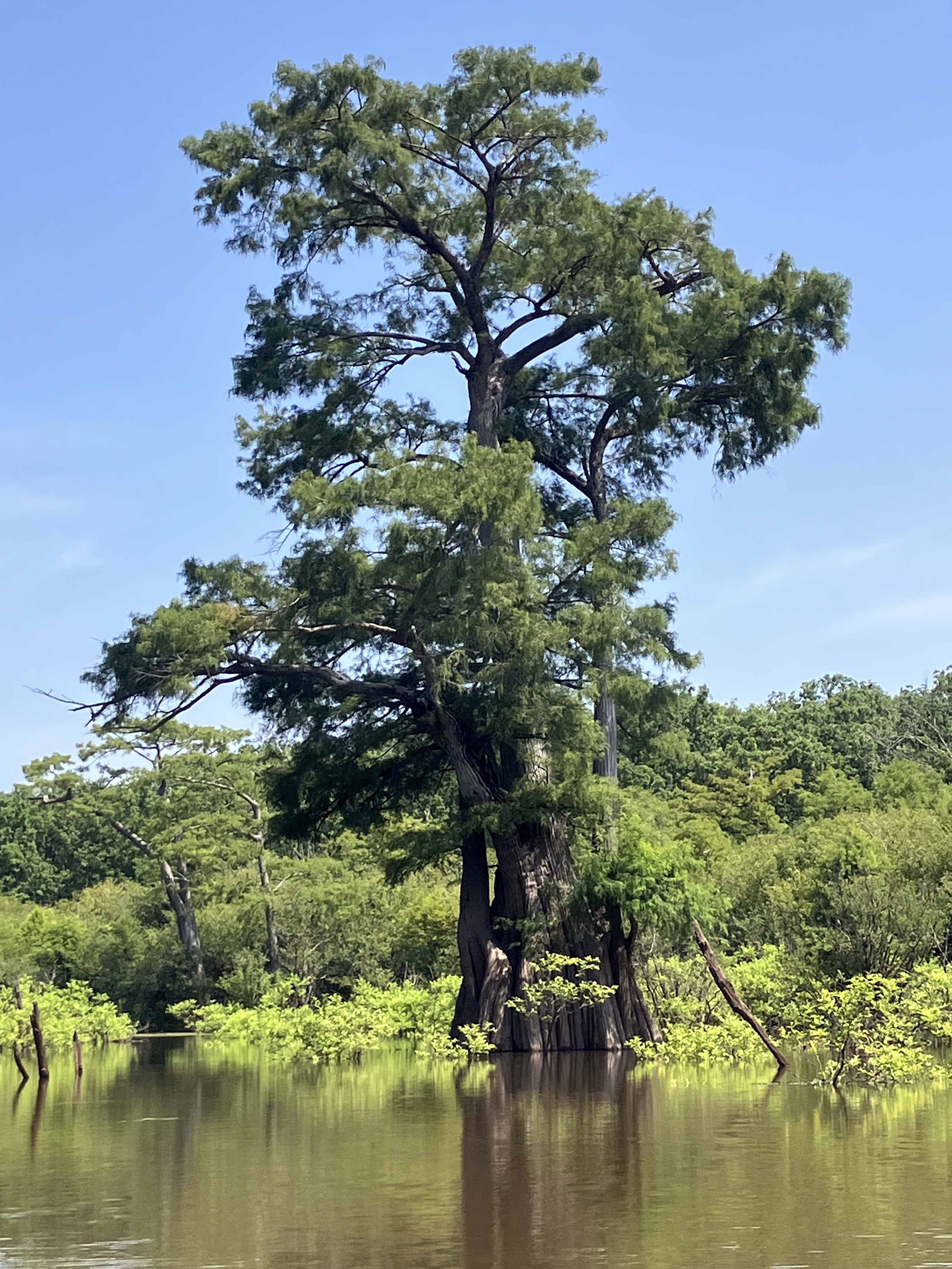
Above: A king.
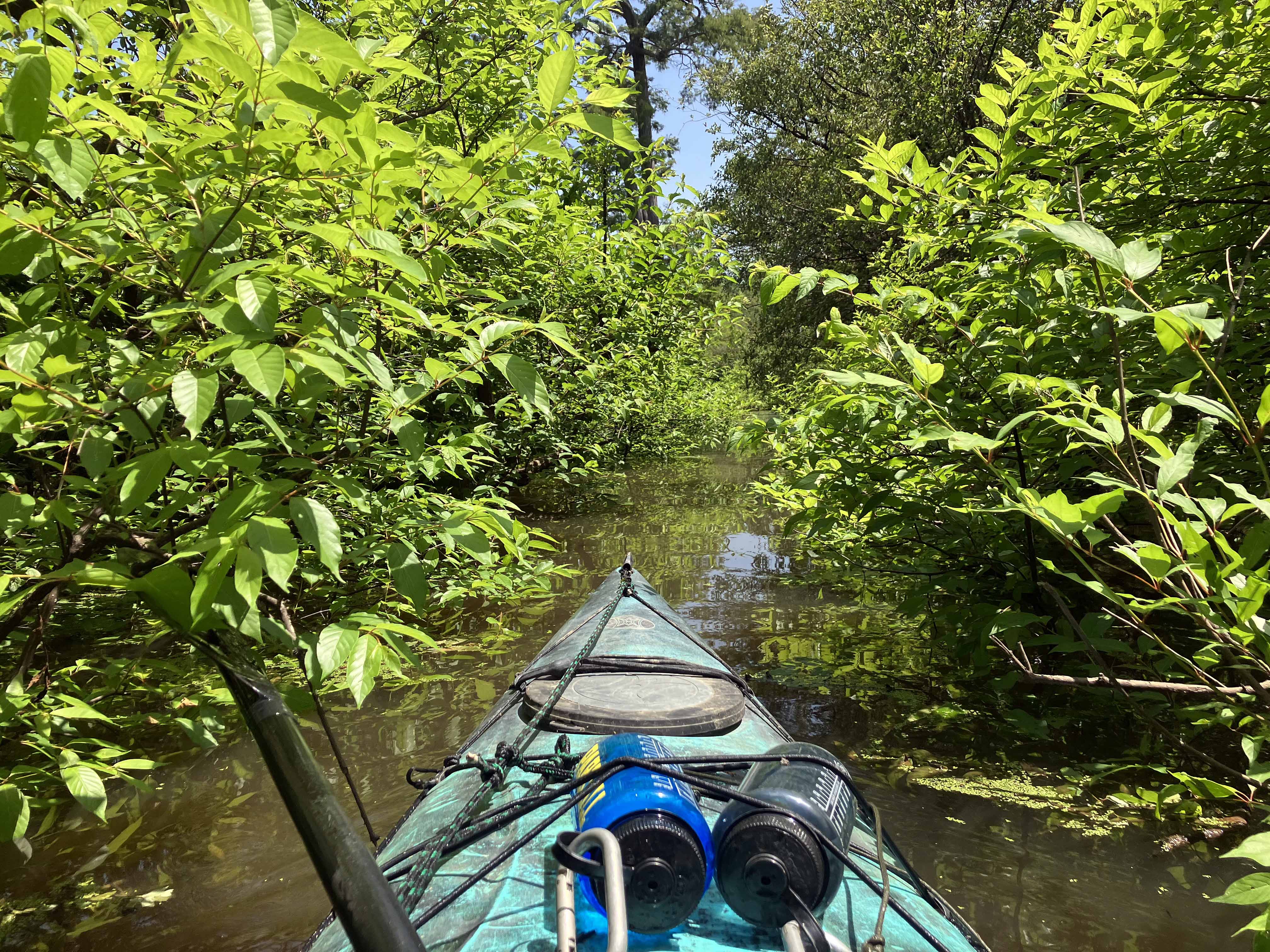
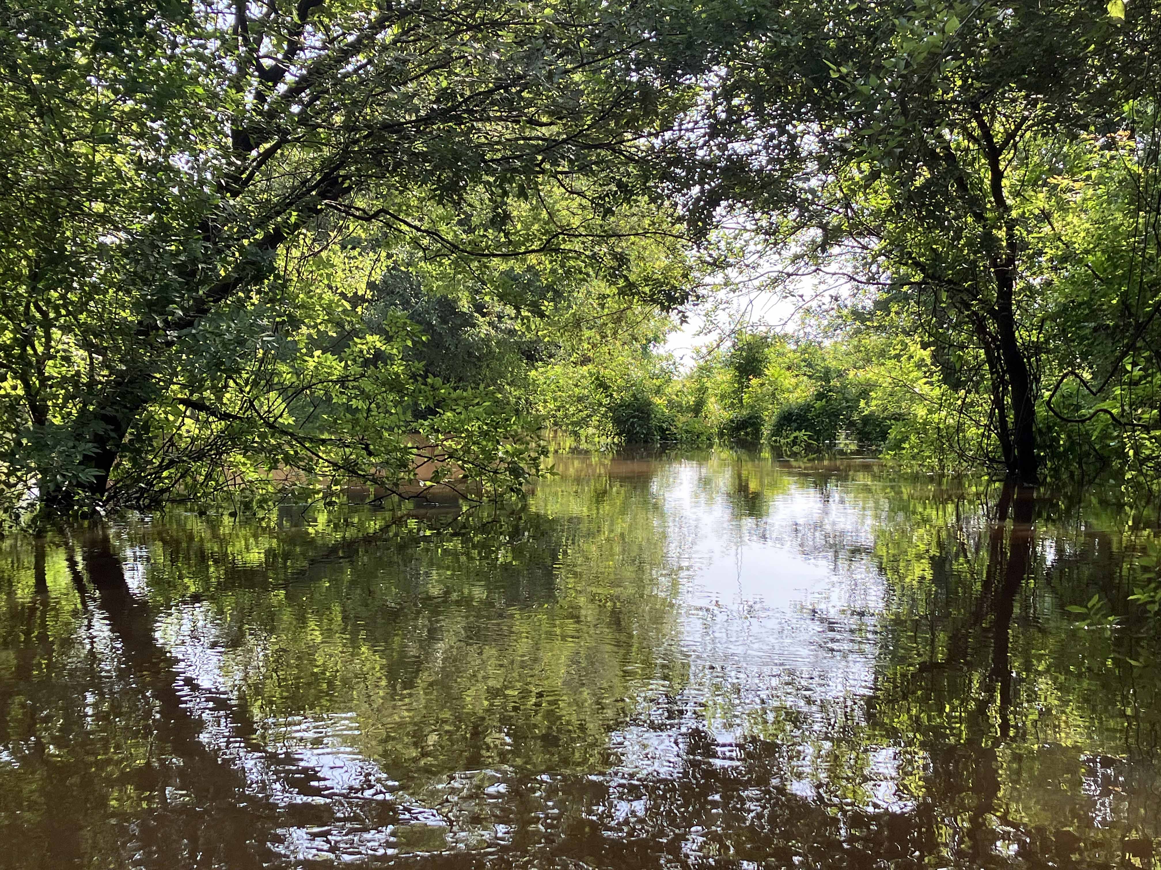
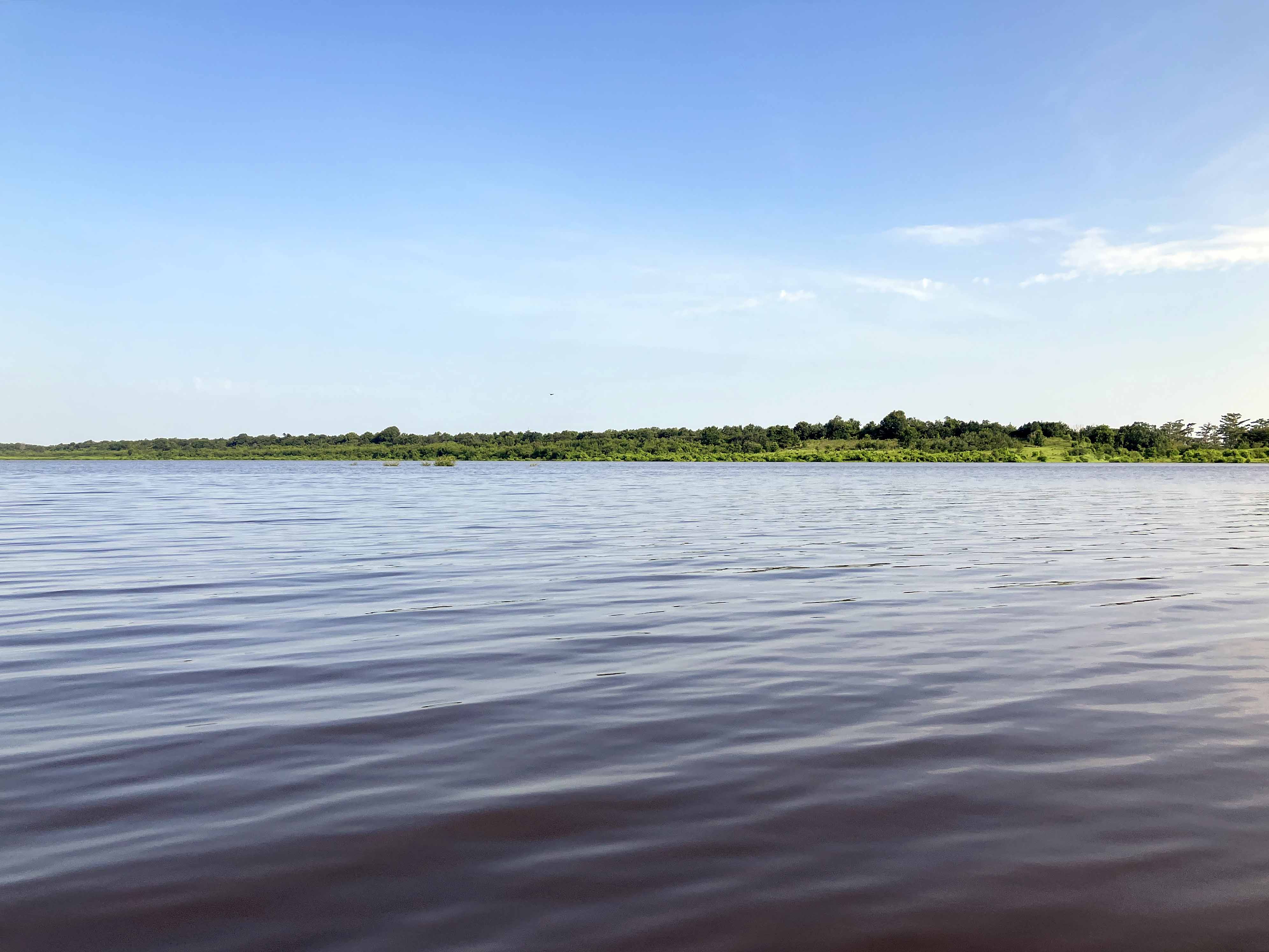
Above: Narrow channel leads out to the river.

Above: Houseboat on the Ouachita River.