Atchafalaya NWR, Sherburne WMA, Interstate 10 Launch B
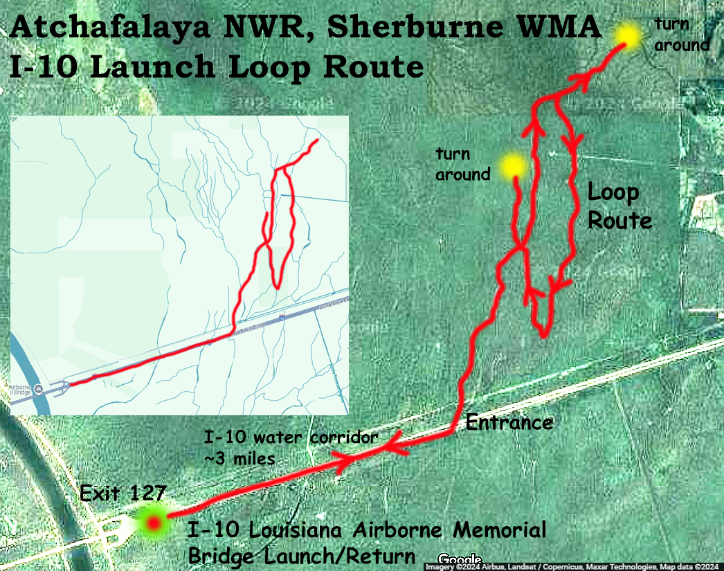
This route describes a second launch from Interstate 10 into the Atchafalaya NWR and Sherburne WMA areas. The prior trip branched to the left up towards the Big Alabama Bayou. This trip explores the right hand side of the split, going as far north as possible to the yellow dot turnaround, then making a loop down the east side before reconnecting. Interesting paddle. The loop is not super easy to see by satellite map but on the water things were pretty obvious. Like the earlier trip there was nobody present at the launch site, probably because it is so unappealing, lying as it does between the east and west Interstate 10 freeways, which roar with traffic. It takes about 3 miles to get to the swamp entry, but once inside the environment is isolated and silent. In the most northern part of the trip things were a bit brushy but the loop itself, which was the goal, was no problem at the existing water level. Atchafalaya @ Butte La Rose gage about 6. A worry for predicted loop routes, which can look good by satellite, is that sections are blocked by water hyacinth or dry stretches. In such an event backtracking may be necessary, no fun. This time things were good and the plan succeeded. The I-10 water corridor at this location (seen in the first picture below) is actually 7 miles end to end, a straight shot. As the curvature of the earth results in about 8 inches vertical change per mile, in a way you are paddling an arc. The trip featured lots of alligators, but all very skittish.
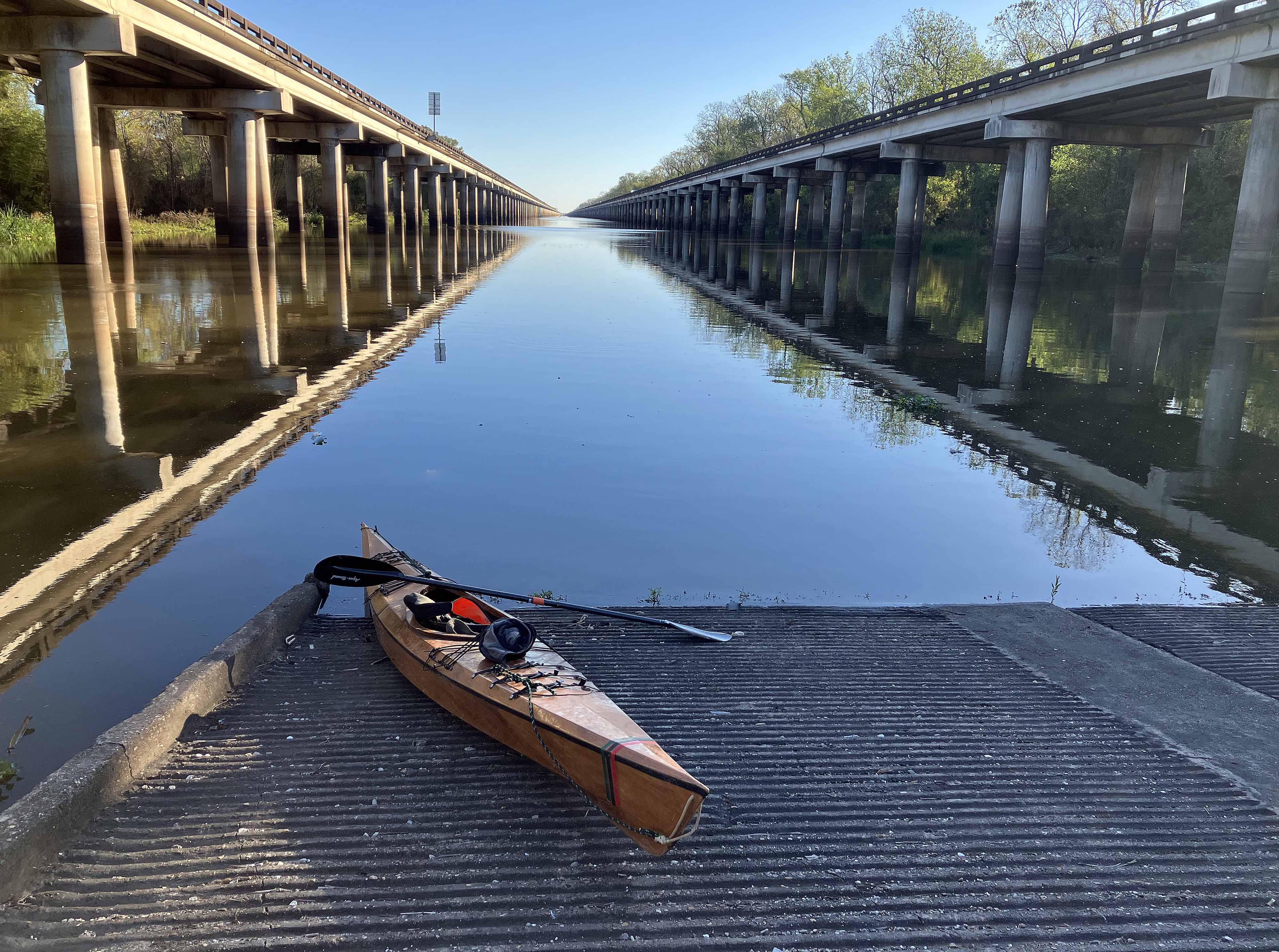
Above: Interstate 10 Boat Launch, Exit 127.

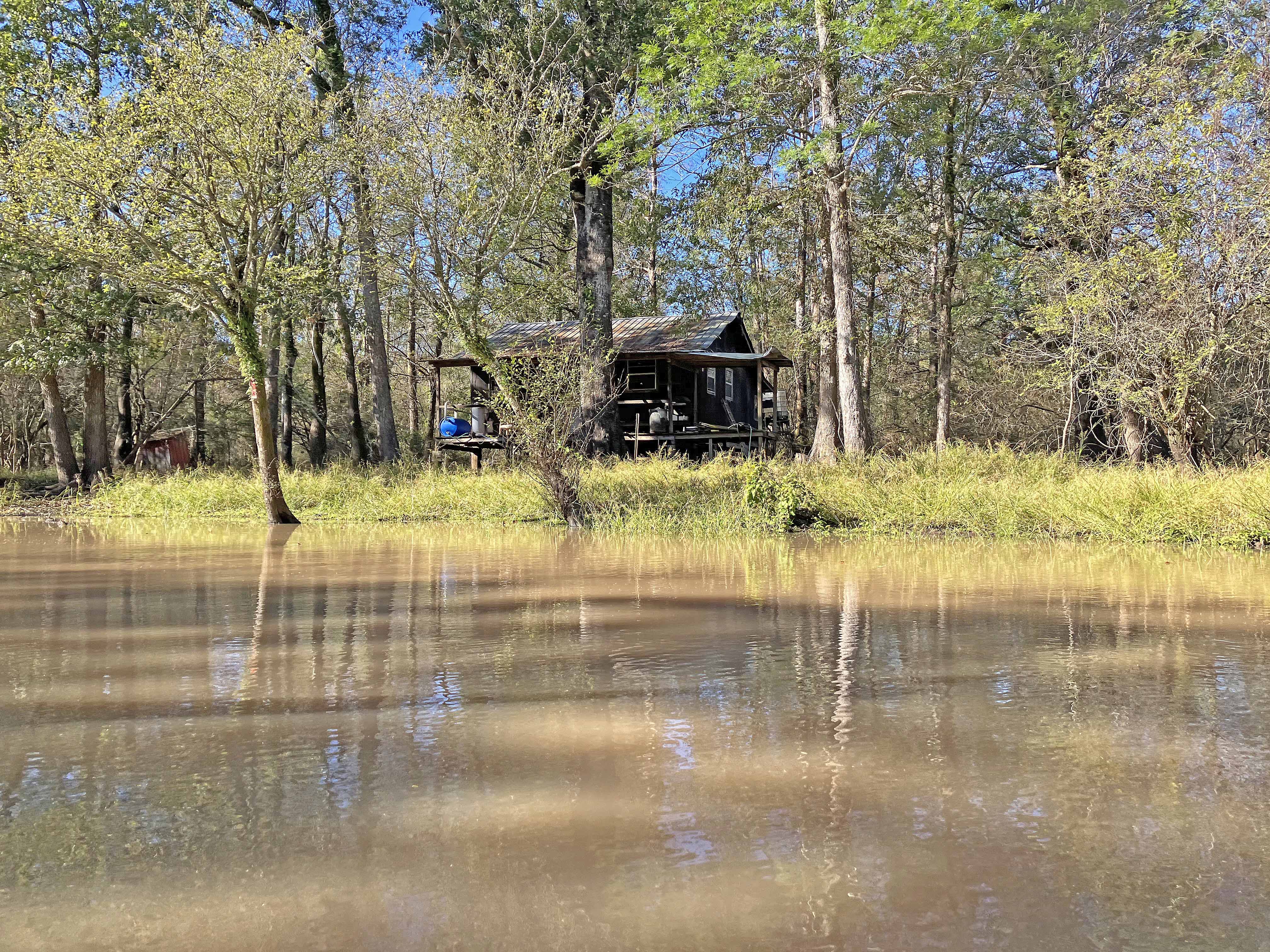
Above: Swamp Shanty
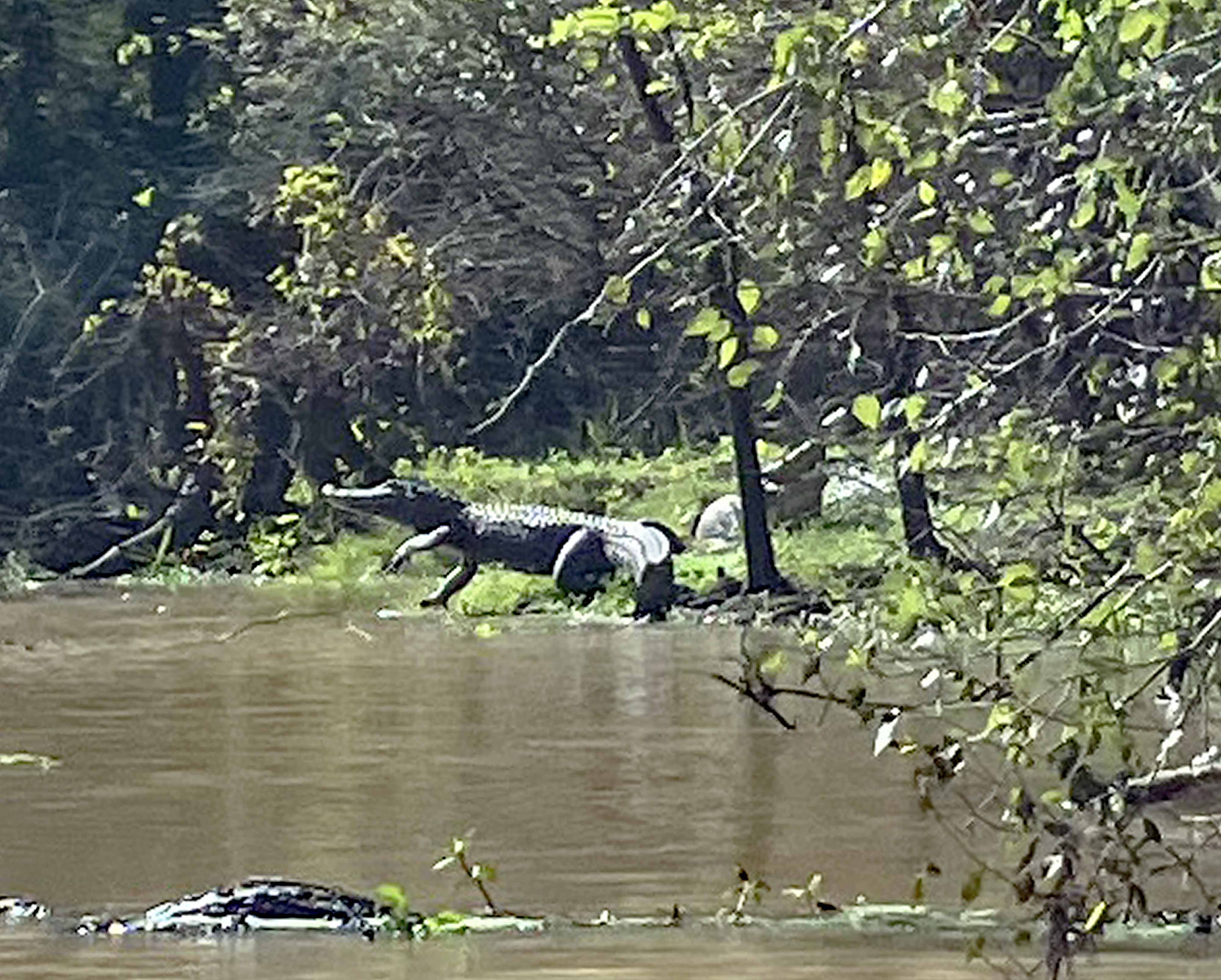
Above: The Great Leap Forward.

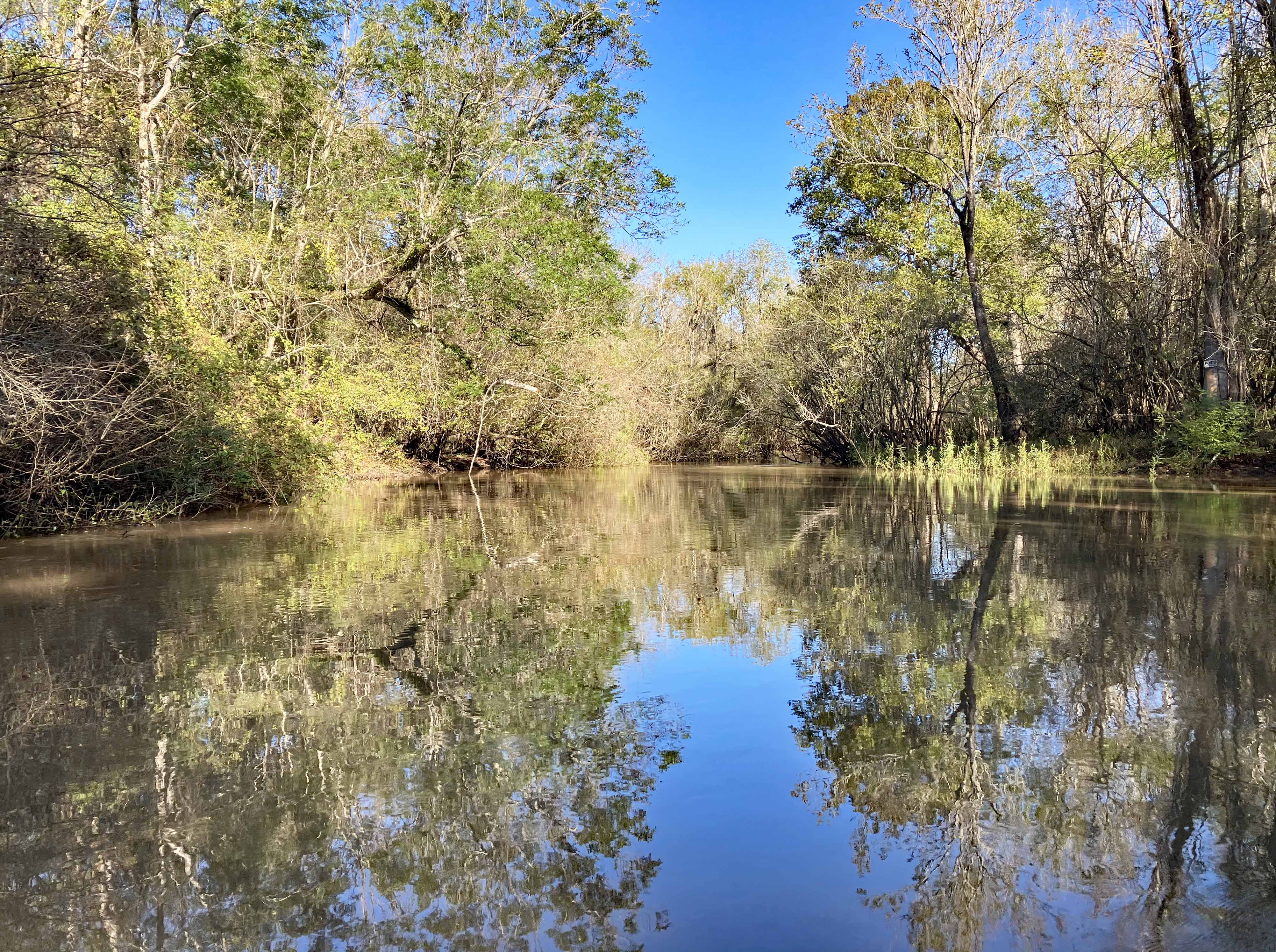
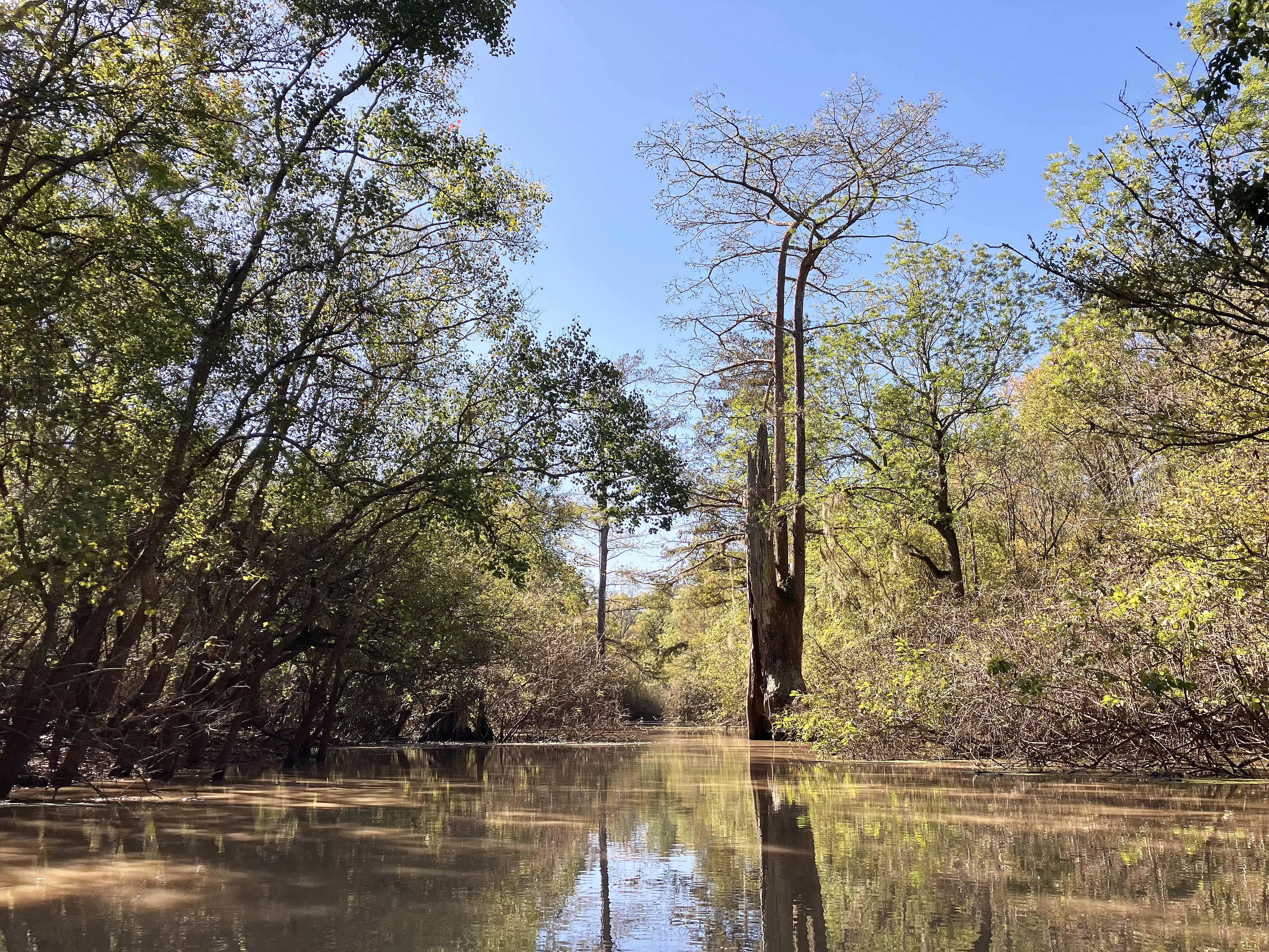
Above: Swamp.
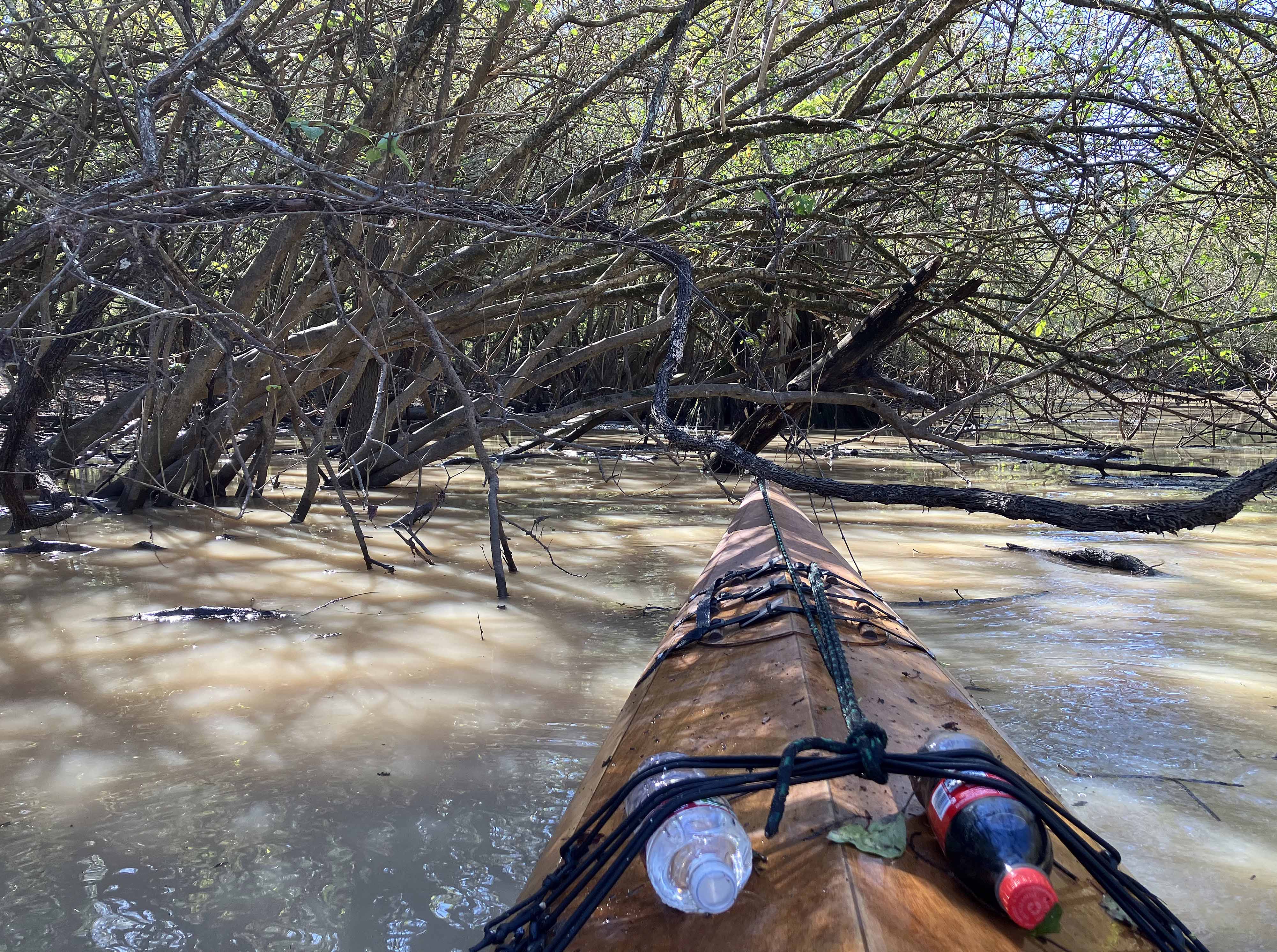
Above: Some places were a bit brushy to get through.
