Atchafalaya, Ruiz/Sandy Cove Launch, Buffalo Cove, Bayou Gravenburg A
The kayak trail map route above launches at the so-called northern Sandy Cove Landing off of Levee Road south of Lake Fausse Pointe State Park. Although the route is fairly short, only about two to three hours or so, it’s actually a very nice Atchafalaya paddle. Unlike many routes in this area, which tend to follow this or that corridor or canal, this one feels more swampy. The trail is noted in Herndon’s book and there is a good map on the Pack and Paddle website. There are a few side channels that would be nice to explore, but I launched mid-afternoon after driving from Dallas and, not being familiar with the route, and particularly the portage, I wanted to be sure to get back before dusk. The level of darkness at a given time in the evening changes (a bit) as you go east or west within a time zone, and in mid November at 5 pm it was car headlight time and at 6 pm it was black, stars out. The crossover point back to the big Bayou is a narrow curvy channel that had very little water. I had to pull the boat a couple hundred yards through this before reaching the actual up and over back to the main channel. Better than if it were dry though. If you don’t mind the portage, this is a good Atchafalaya paddle and one that is conveniently close to Lake Fausse Point State Park. Atchafalaya @ Butte La Rose gage about 6.
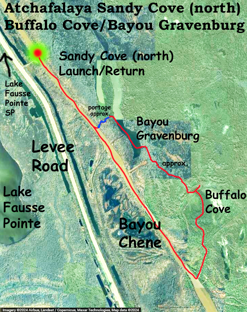
Above: The Sandy Cove (north) Landing launch site just off of Levee Road.
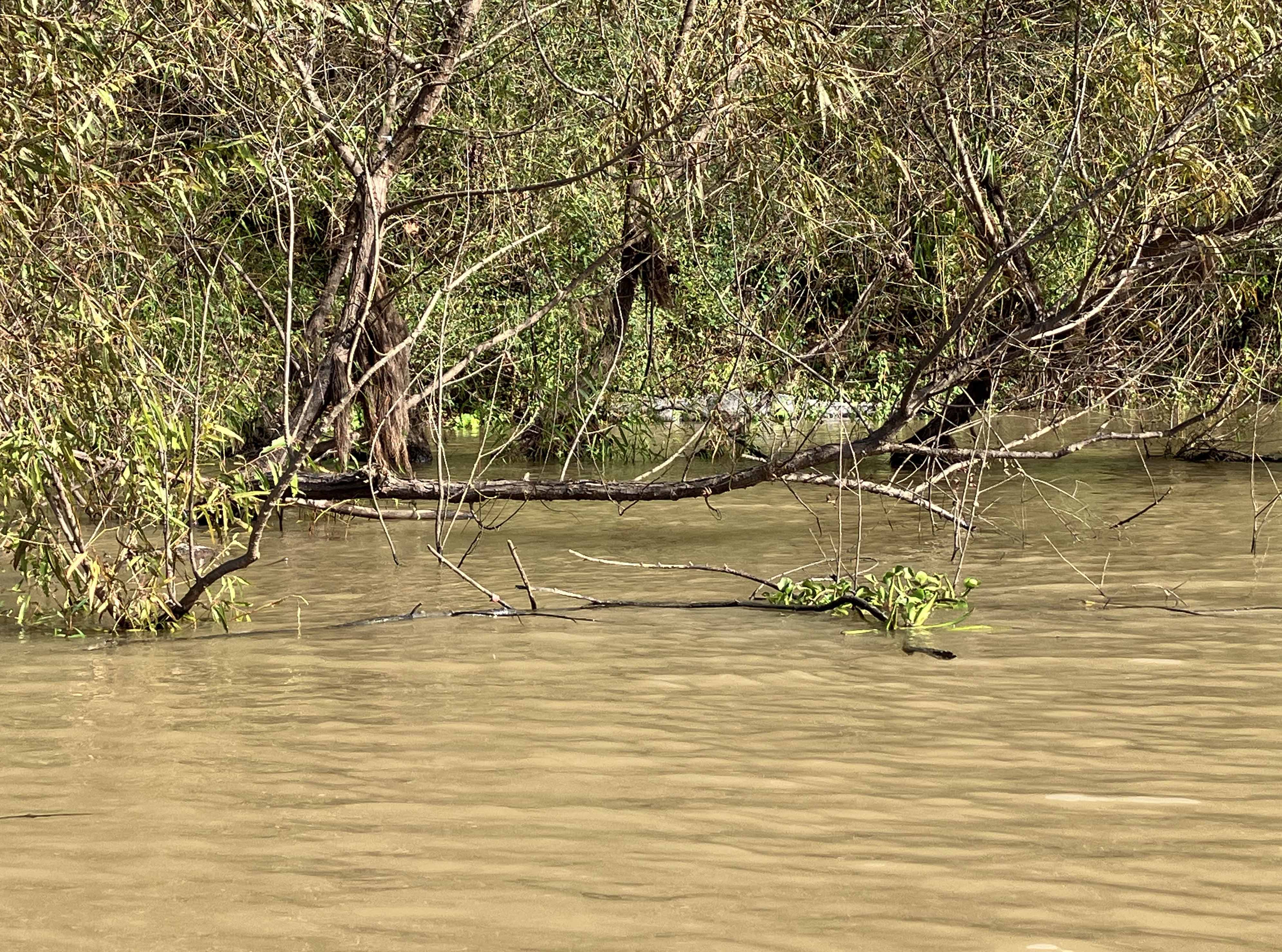
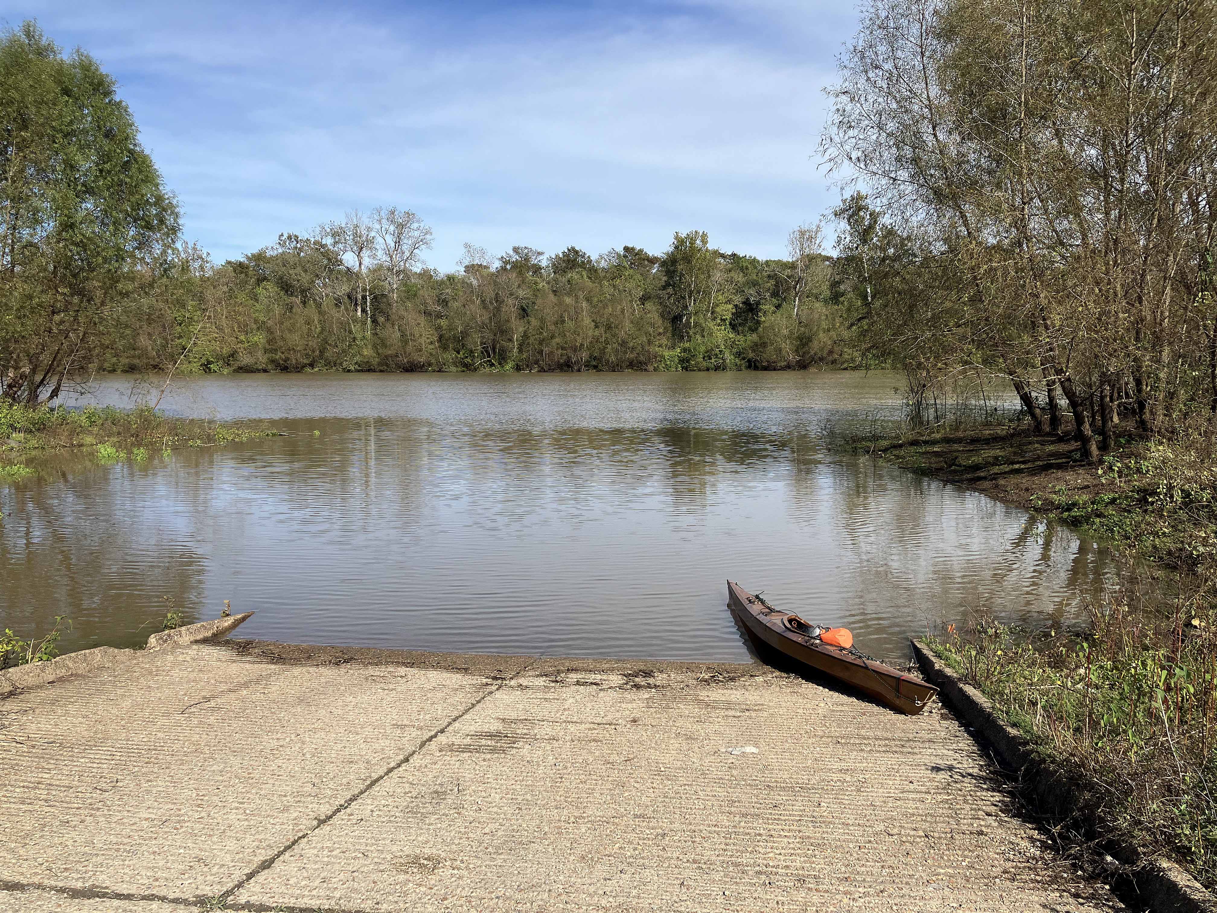
Above: I easily saw 20 alligators along the route but they were so skittish it was hard to get a picture. There is one hiding above though.
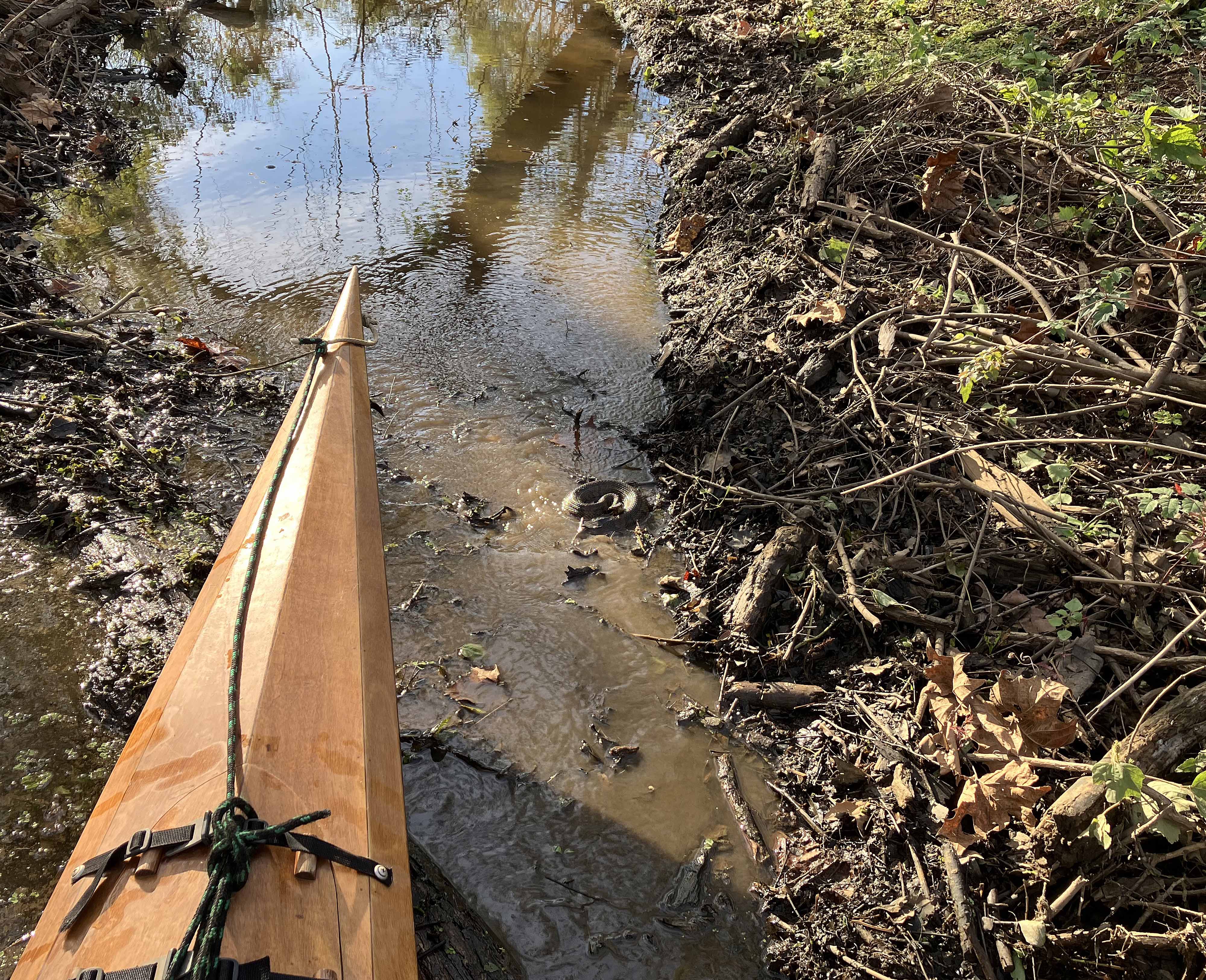
Above: Out of the boat and preparing to loosen the bow line to pull through the mucky portage channel. But wait…something that bites is hiding there! Try to find it.
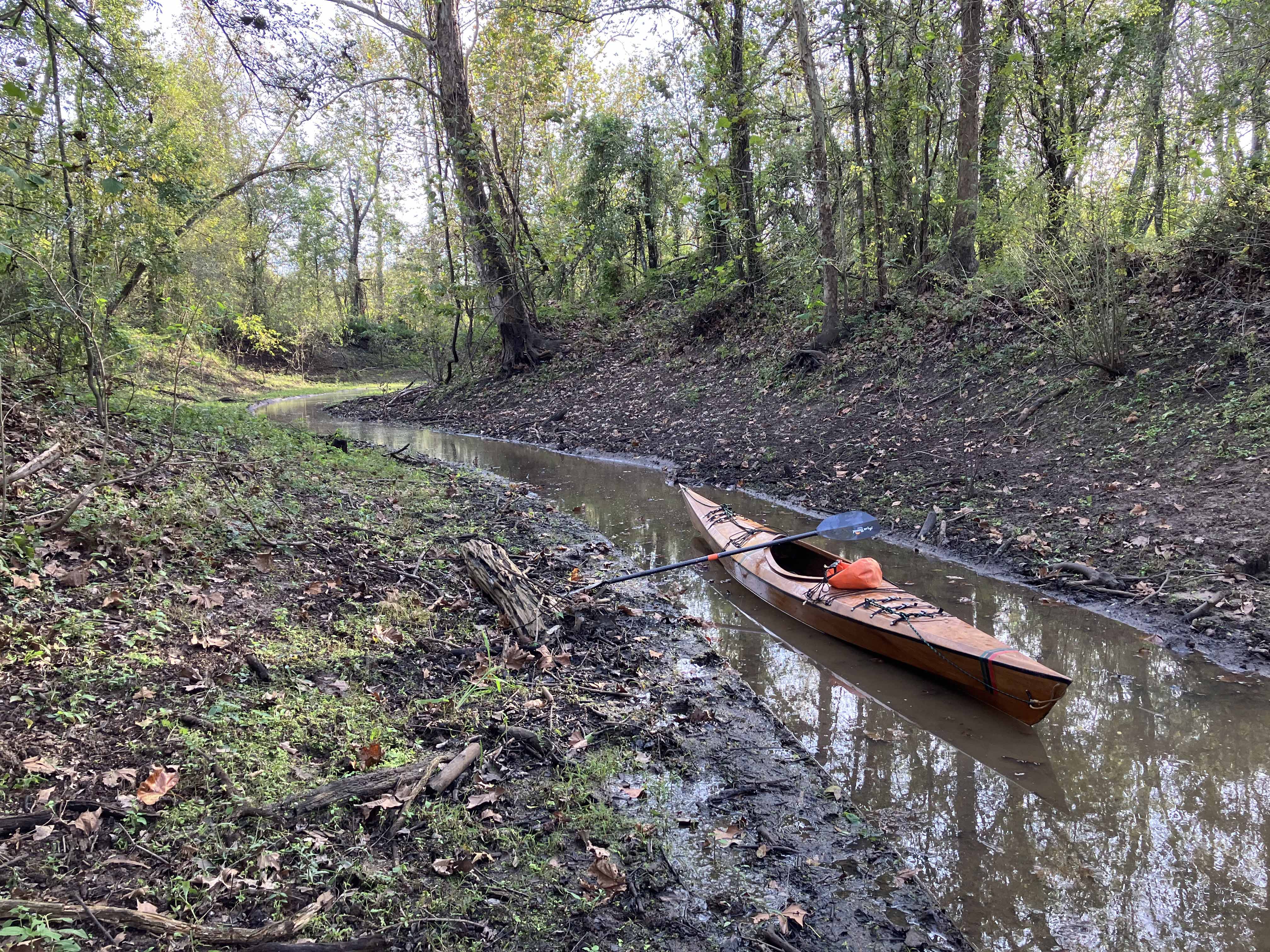
Above: Pulling the boat through to get back to the bayou.
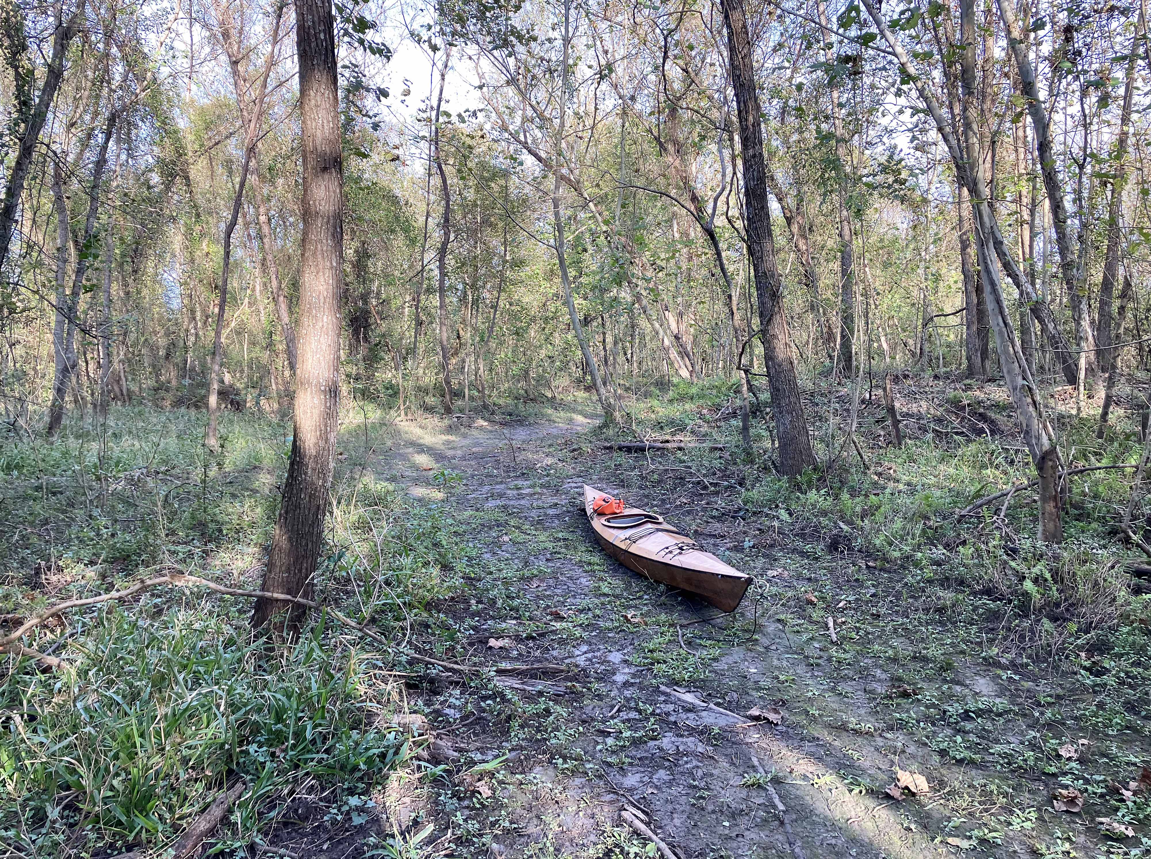
Above: More pulling.
