Atchafalaya, Sandy Cove (south) Launch B
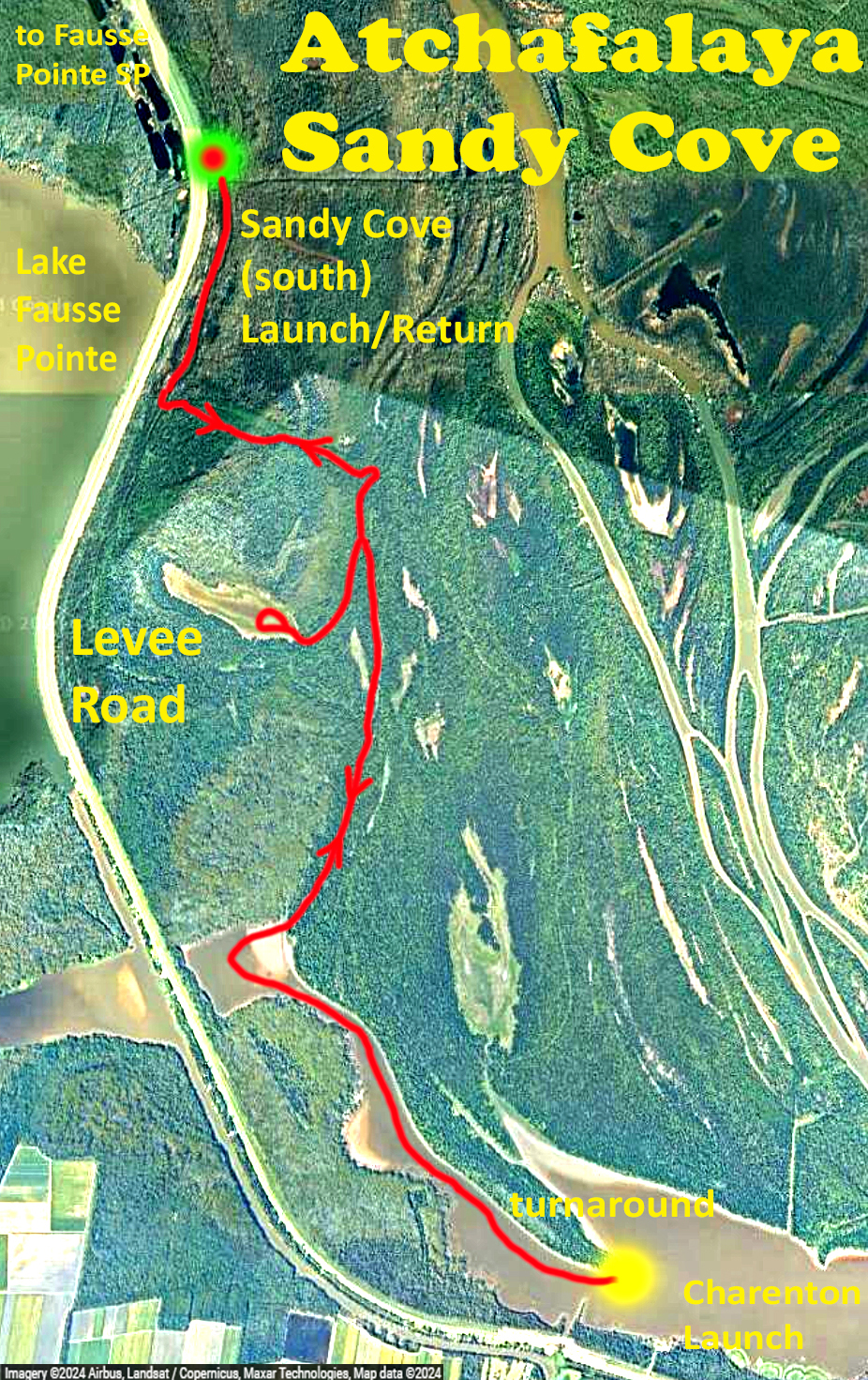
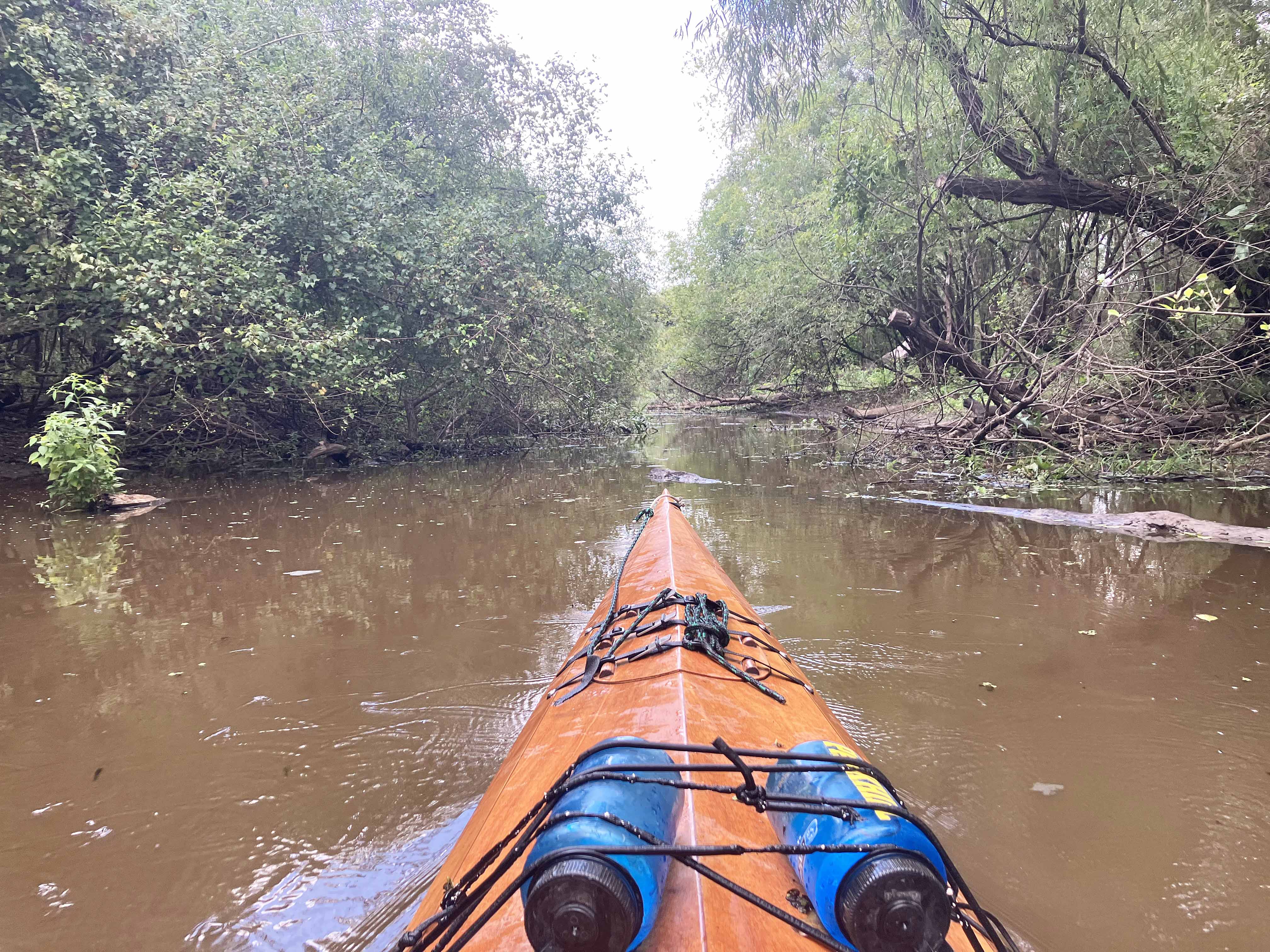
An Atchafalaya kayak route starting from the west side Levee Road Sandy Cove launch (the southernmost one according to google maps). Lake Fausse Pointe State Park is only a few minutes to the north of the launch along the Levee Road so this is a convenient location to put in if staying there. This trip (B) is similar to an earlier one (A) listed in this section but it goes down further into Six Mile Lake. The channel leading to the lake is narrow, isolated and muddy, and a fork in the channel leads to a shallow lake to the west that was blocked by hyacinth in the earlier trip. Although I got in, higher water would be needed to go around it completely. The entry into Six Mile Lake (as labeled by google) to the south is all the sudden and quite beautiful with nice sized cypress trees along the bank. Fortunately the channels were mostly clear of water hyacinth and while water levels were low the route was doable without getting out of the boat. I accidentally dropped a plastic laminated map into the water and it disappeared into the depths (a couple feet but still gone). So…these maps don’t float, a new piece of information for me. A backup map remained in the boat, although this particular trail is pretty obvious just by following the channel.
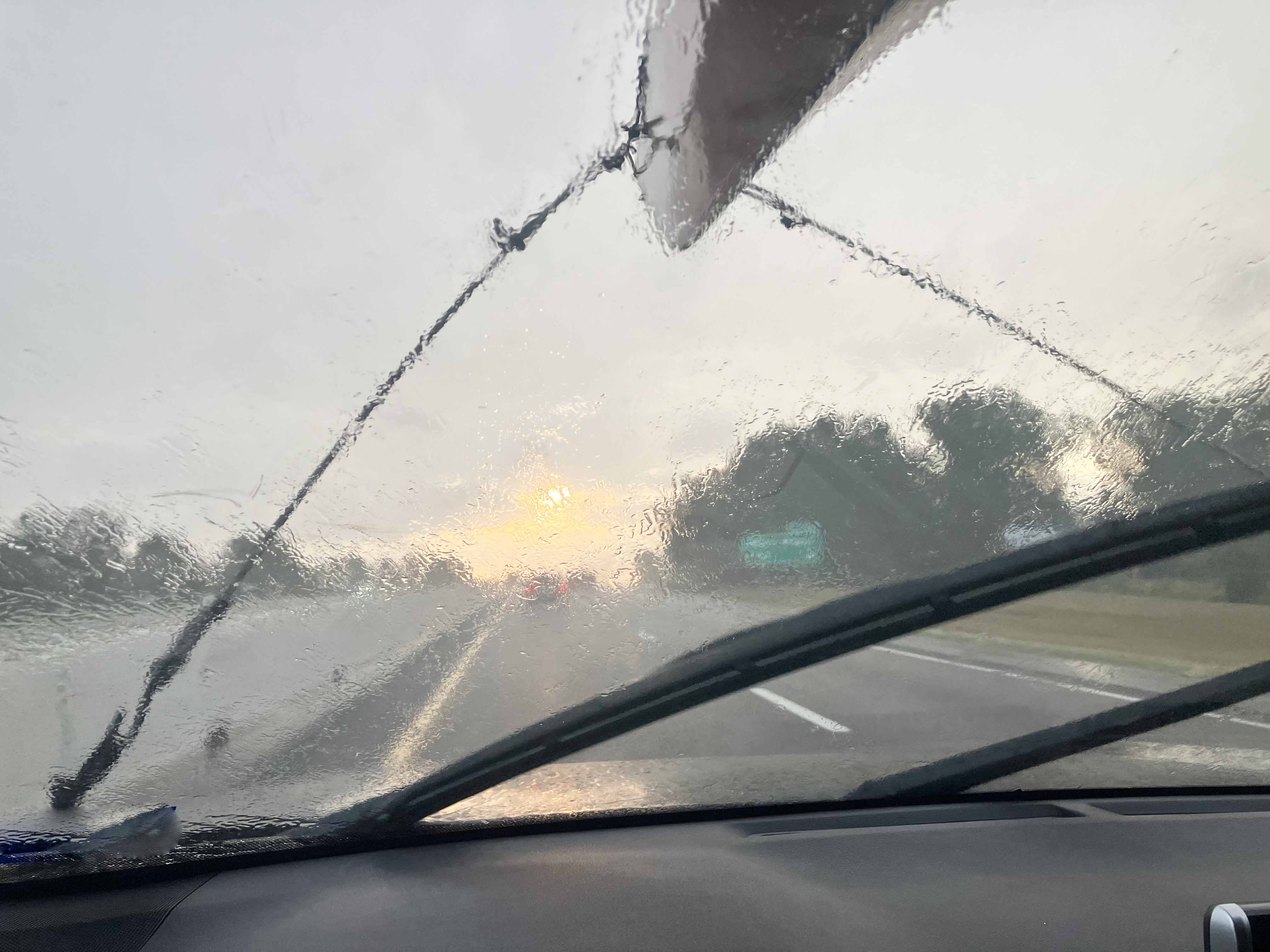
Above: Rainstorm starting out from Dallas, boat on top.
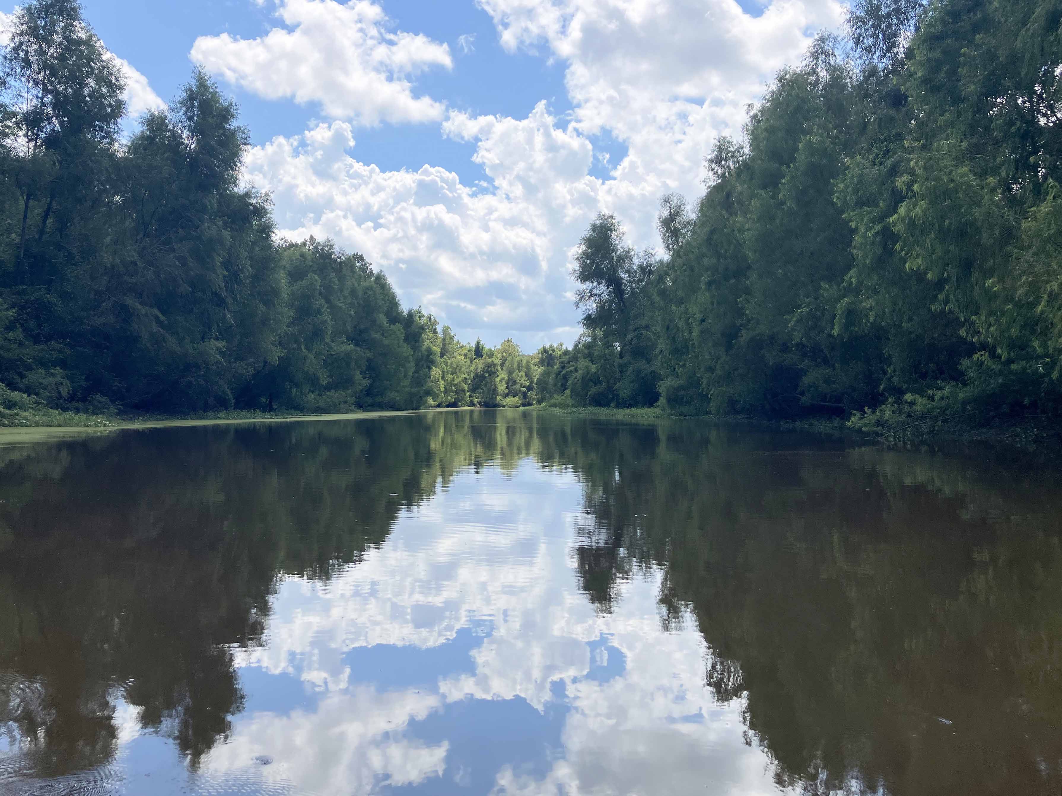
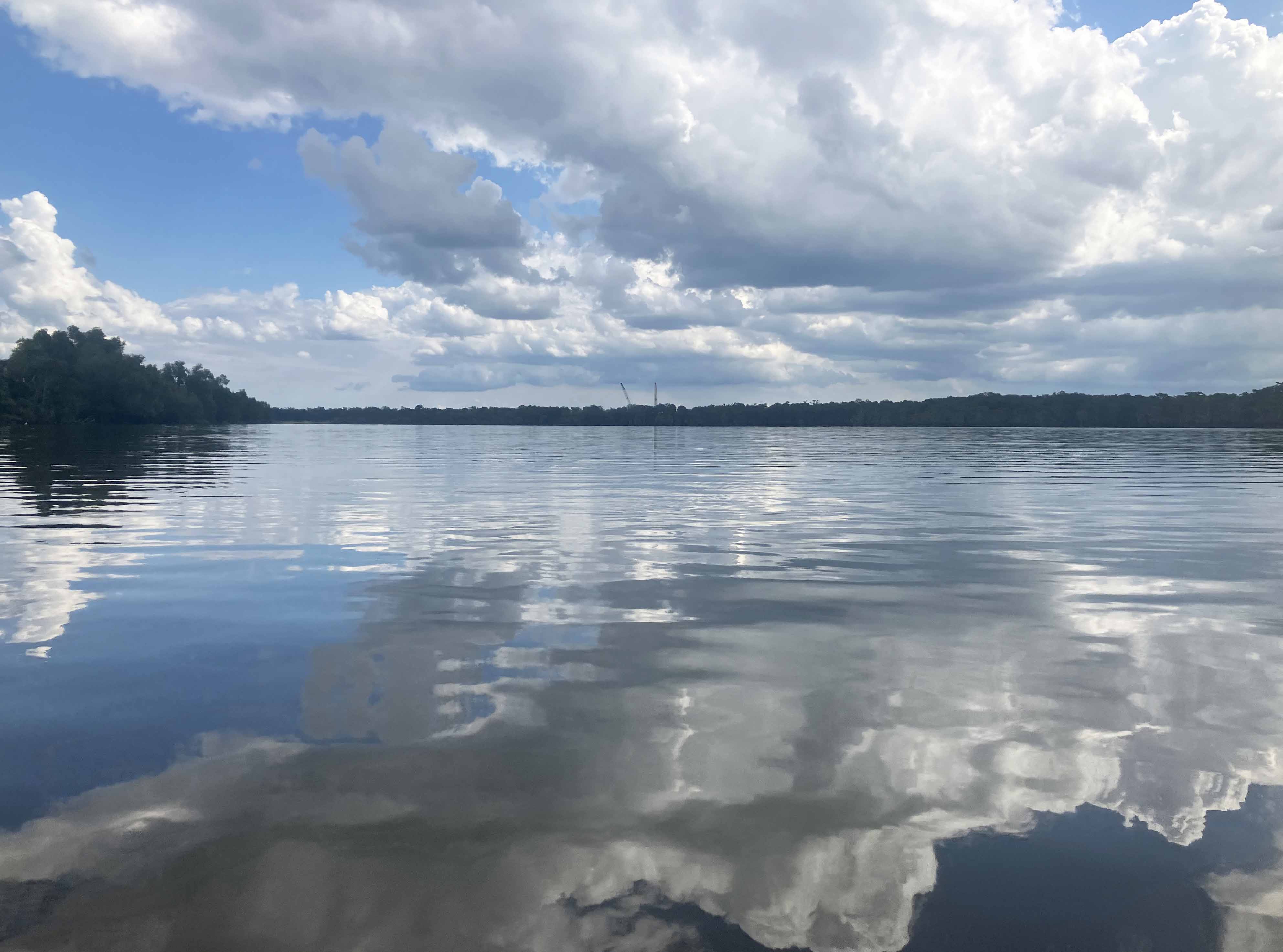
Above: But beautiful down at the Atchafalaya Basin area!
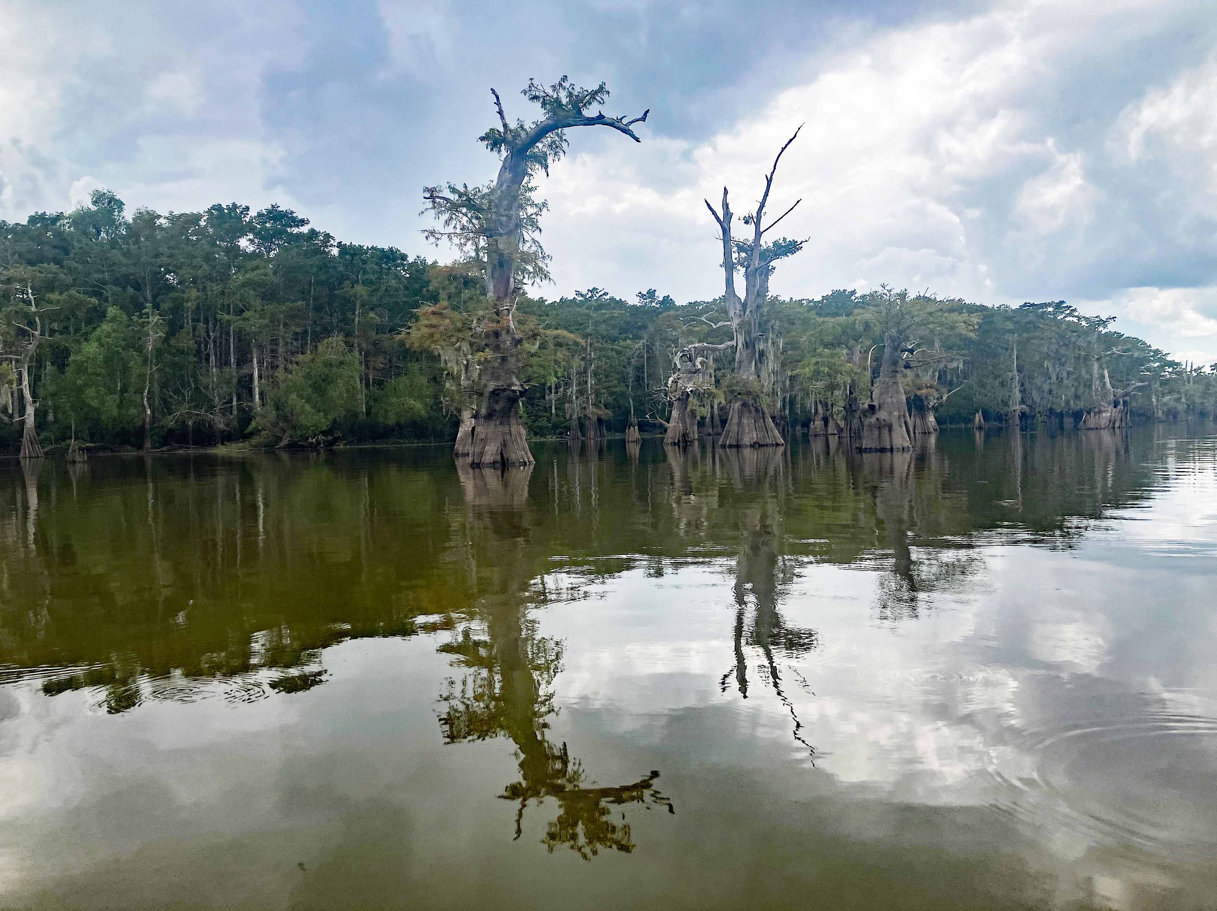
Above: Entry into one of the small lakes.
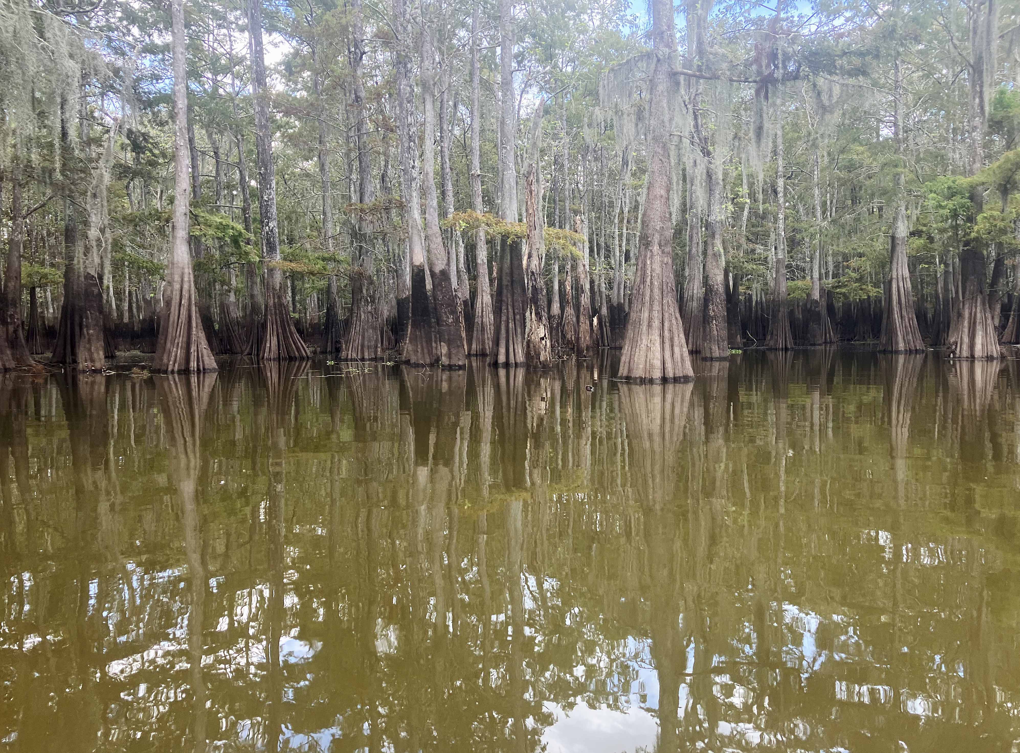
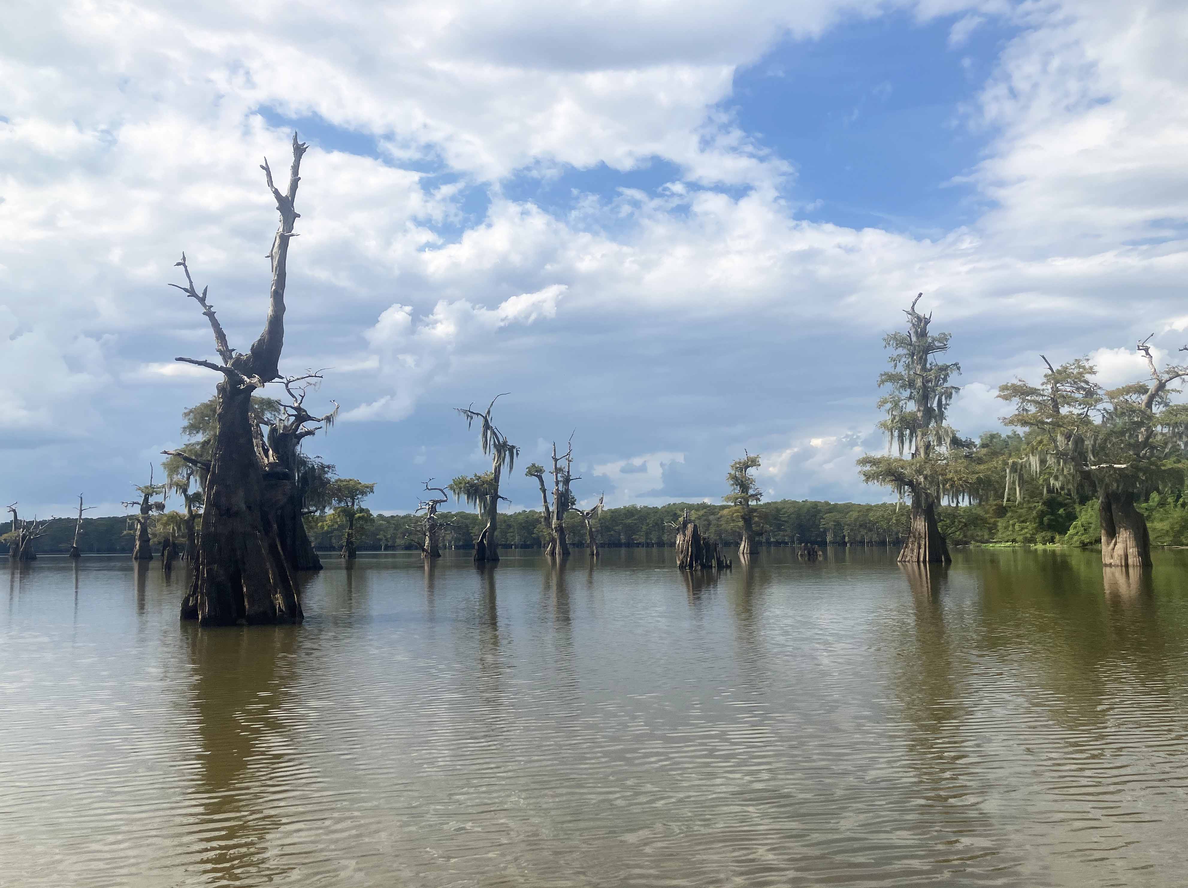
Above: Old cypress trees down at Six Mile Lake.
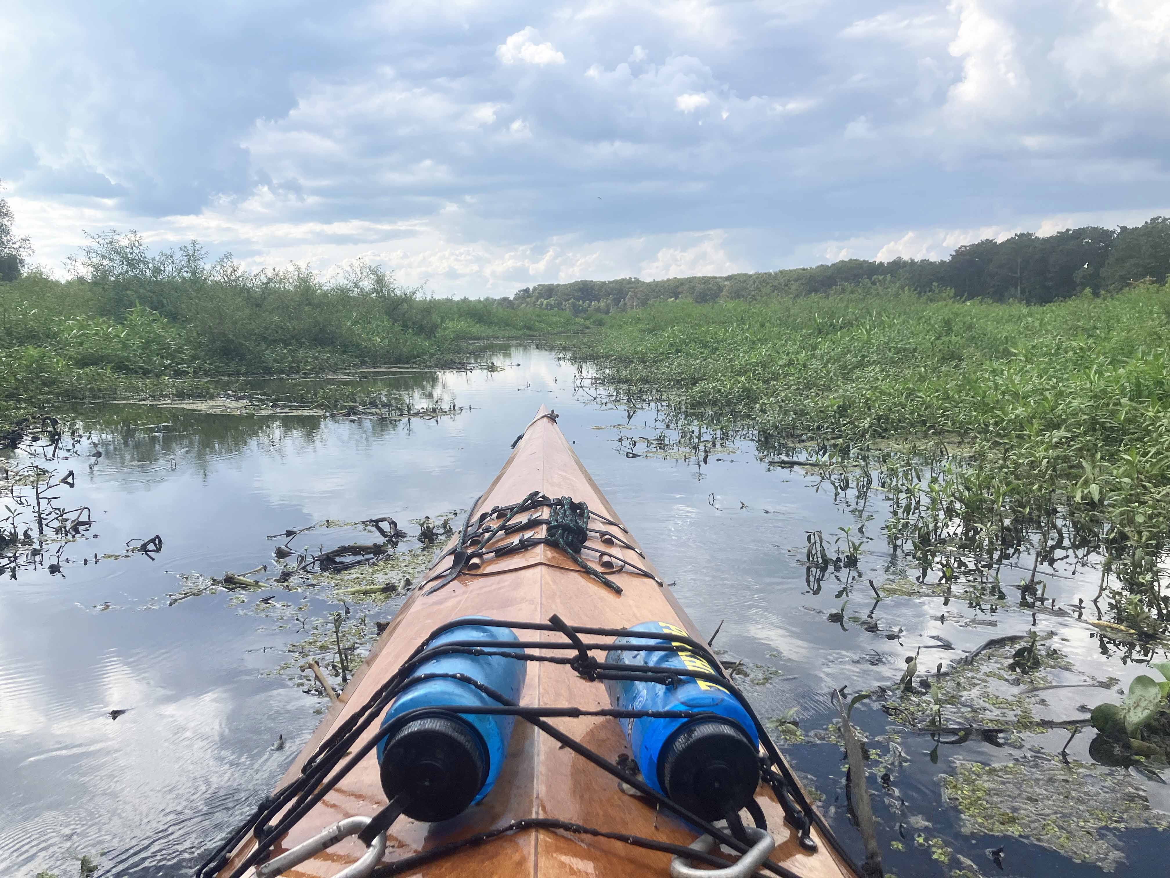
Above: Kayaking in the swamp.
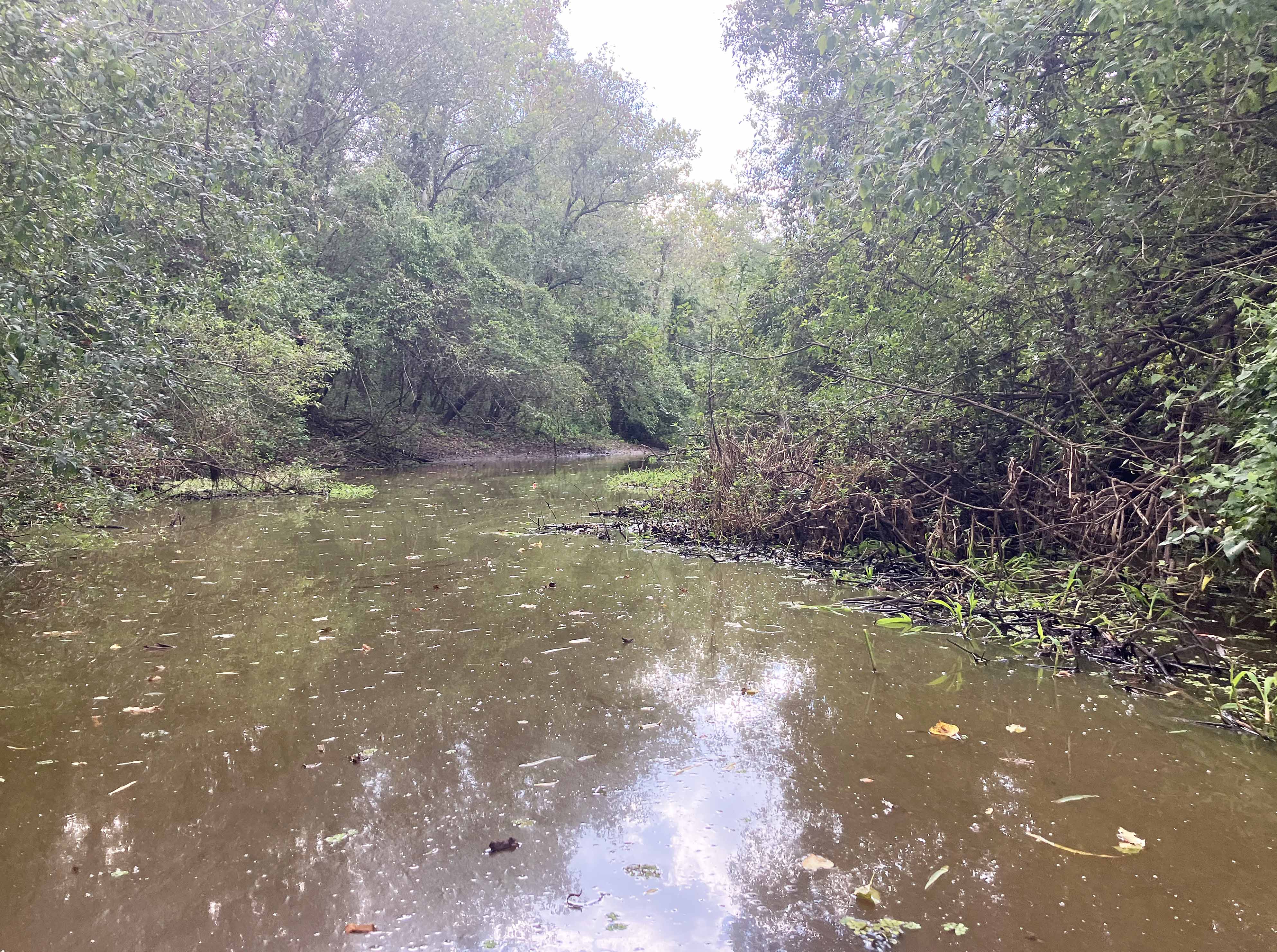
Above: Muddy and narrow.
