Atchafalaya, Two O’Clock Bayou, Hwy 190, LA
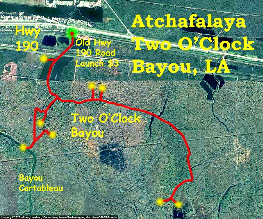
Kayak route map starting at a self-service launch along Hwy 190/Old Hwy 190 at the north end of the Atchafalaya Basin in Louisiana. The launch costs $3 in a little envelope. The route is not in a WMA or NWR and the launch is not that obvious by scrolling through google satellite images. But, a similar trail is posted on the Pack and Paddle site so it’s worth a try. It’s a short out and back, but there is some possibility for exploration of the little side channels and sloughs if water levels are high enough. One of the side channels actually connects to the bigger Bayou Cortableau to the west. For this trip I launched about noon in early March after driving in from Dallas. The paddle is especially pretty in the north-south sections; some of the east-west section runs through land that has been logged and looks a bit spare and brushy. A few spots off the main bayou were ‘push and pole your way through’, a picture of one spot like that is below. Nice paddle, a few gators, and some interesting pictures. On the trip down I bought a couple deep fried jalapeno cheese boudin spheres and some cracklins at a little gas station place and they were so good. I later bought a package of frozen cleaned crawfish at a supermarket and brought it back to Dallas in the cooler to make etouffee at home. It was fantastic, I had two big helpings, and then I got very very sick.
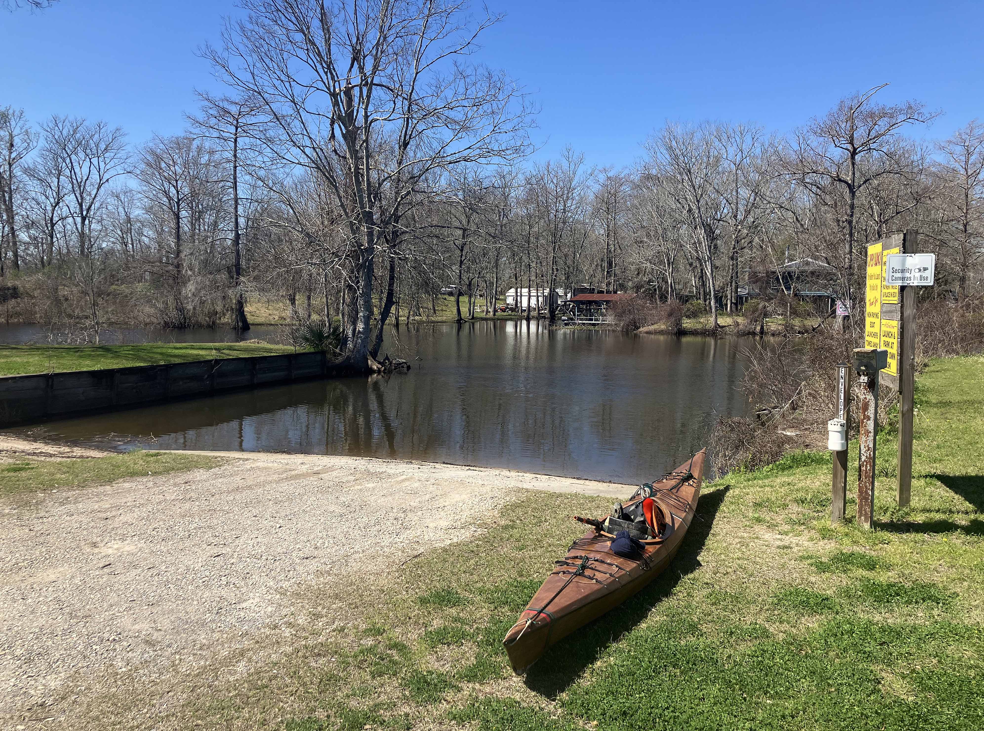
Above: The launch site for Two O’Clock Bayou. Nobody else was there.
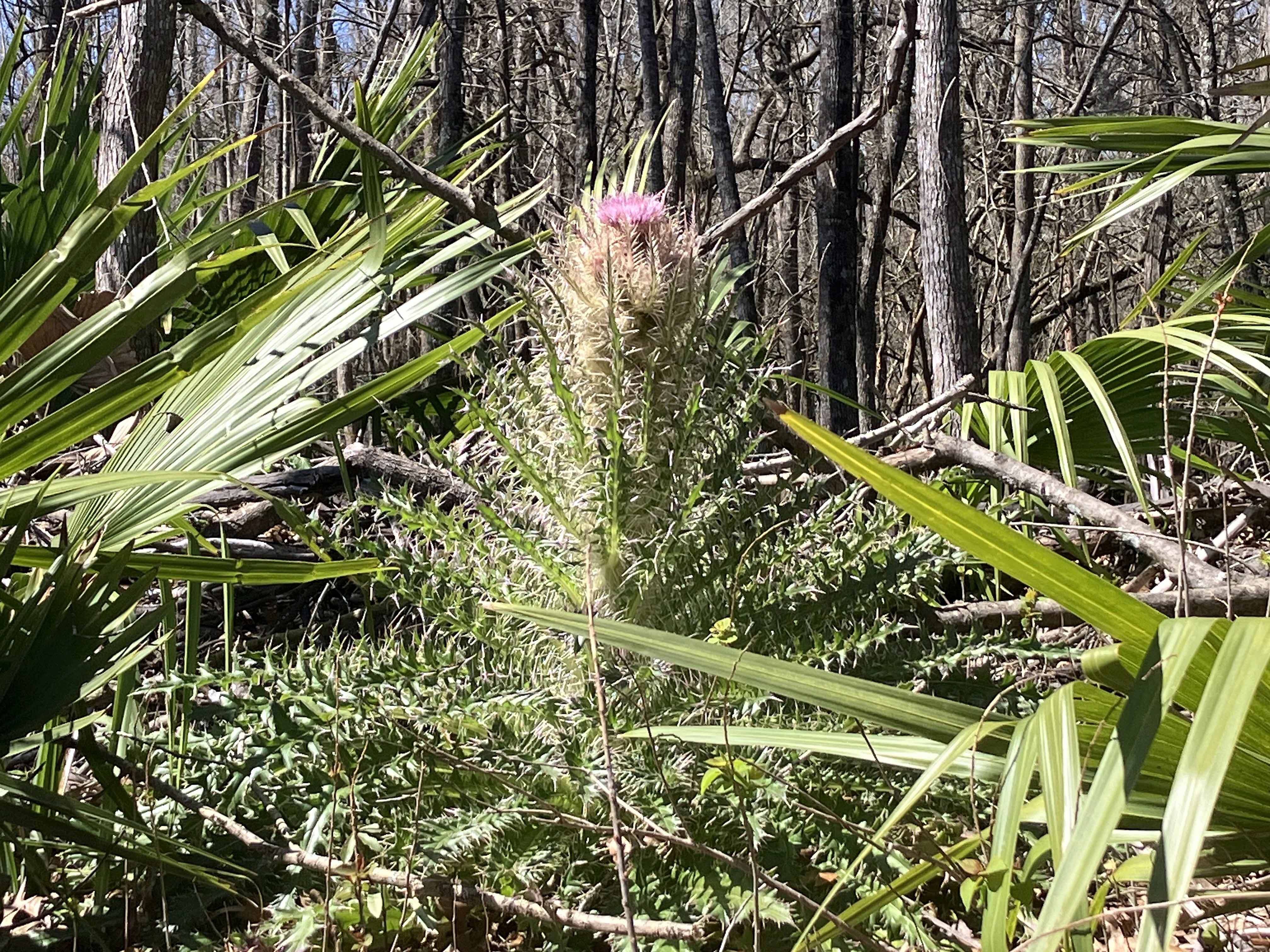
Above: Late winter blooming thistle.
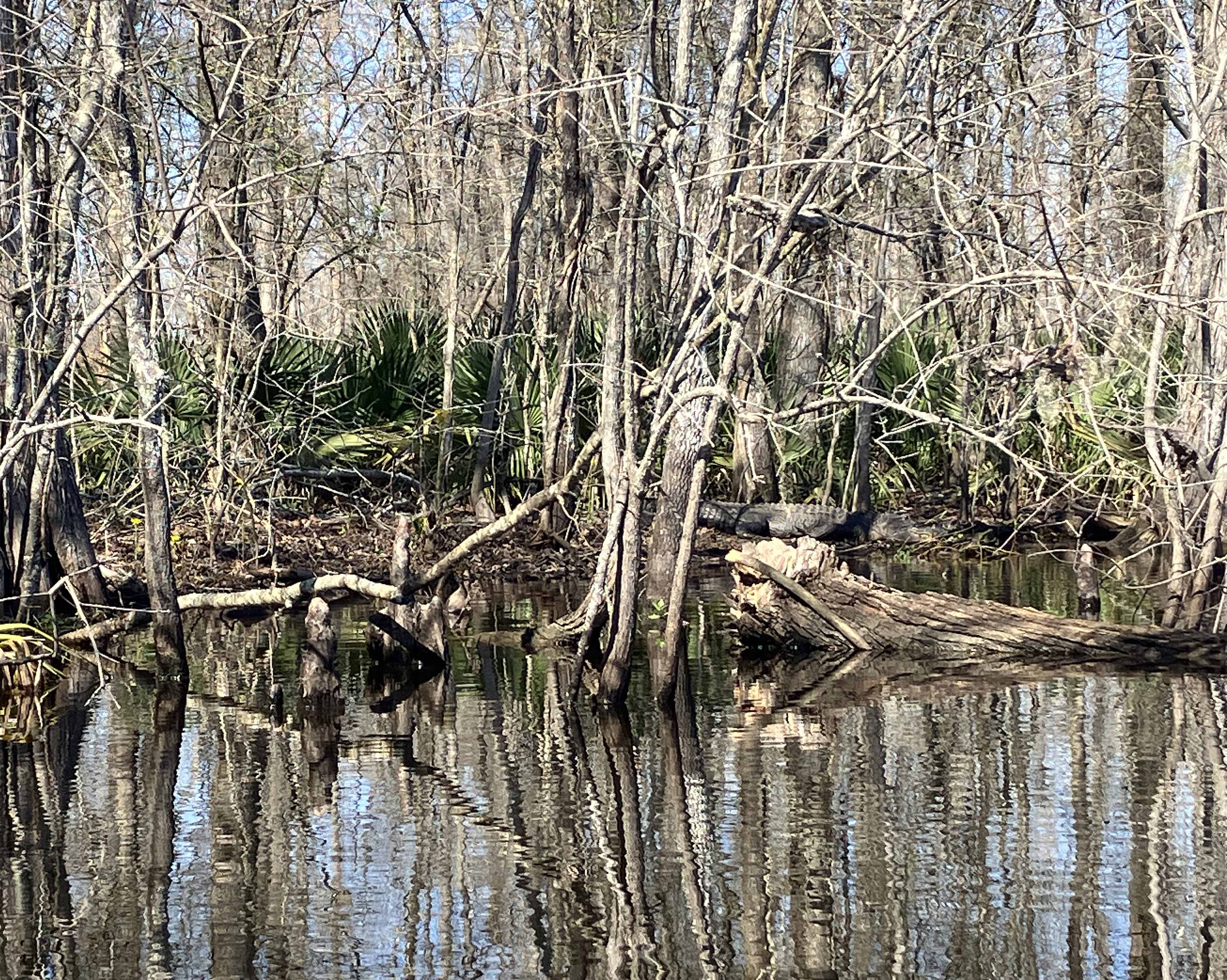
Above: Find the alligator.
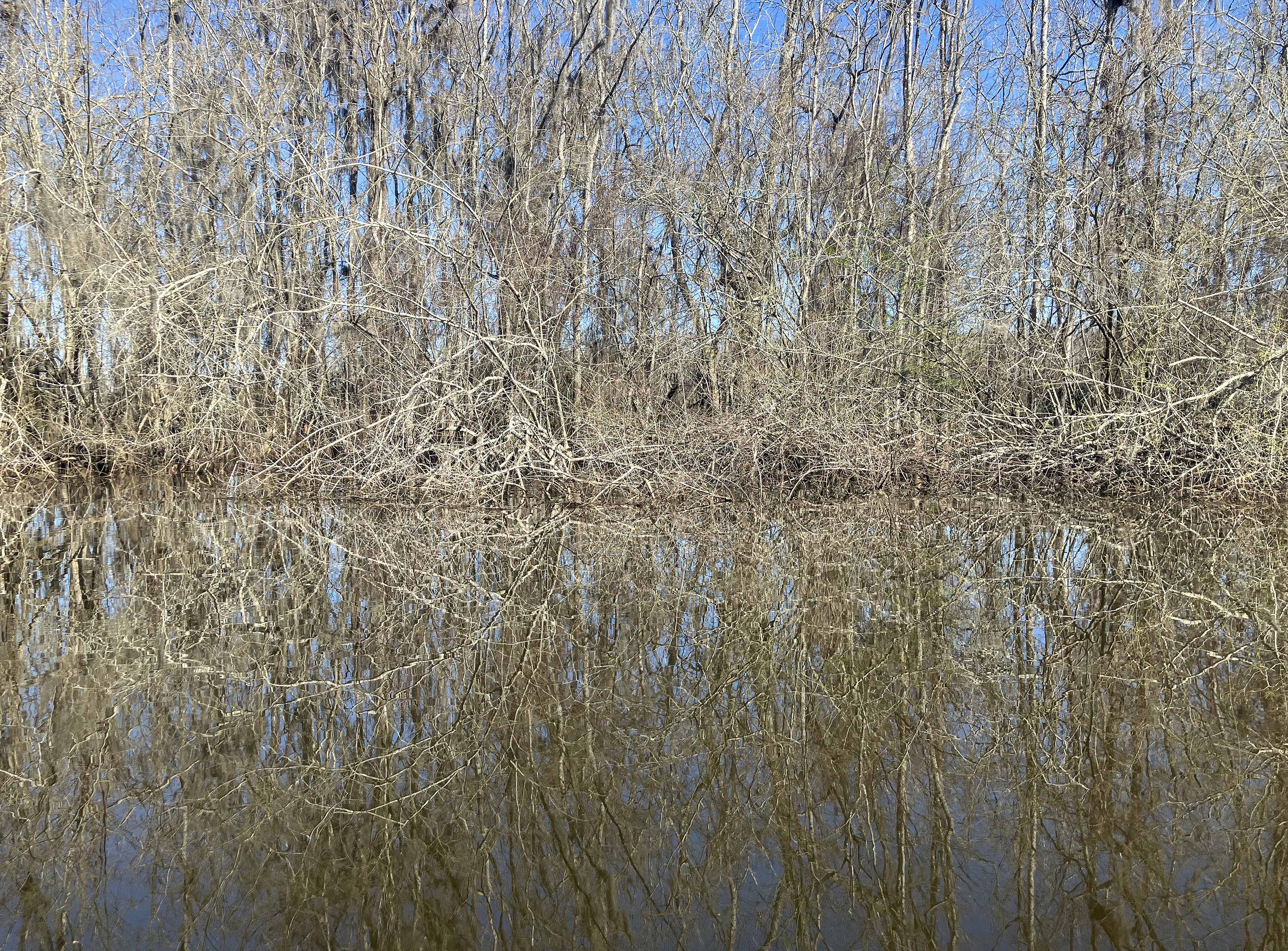
Above: Scribble Scrabble.
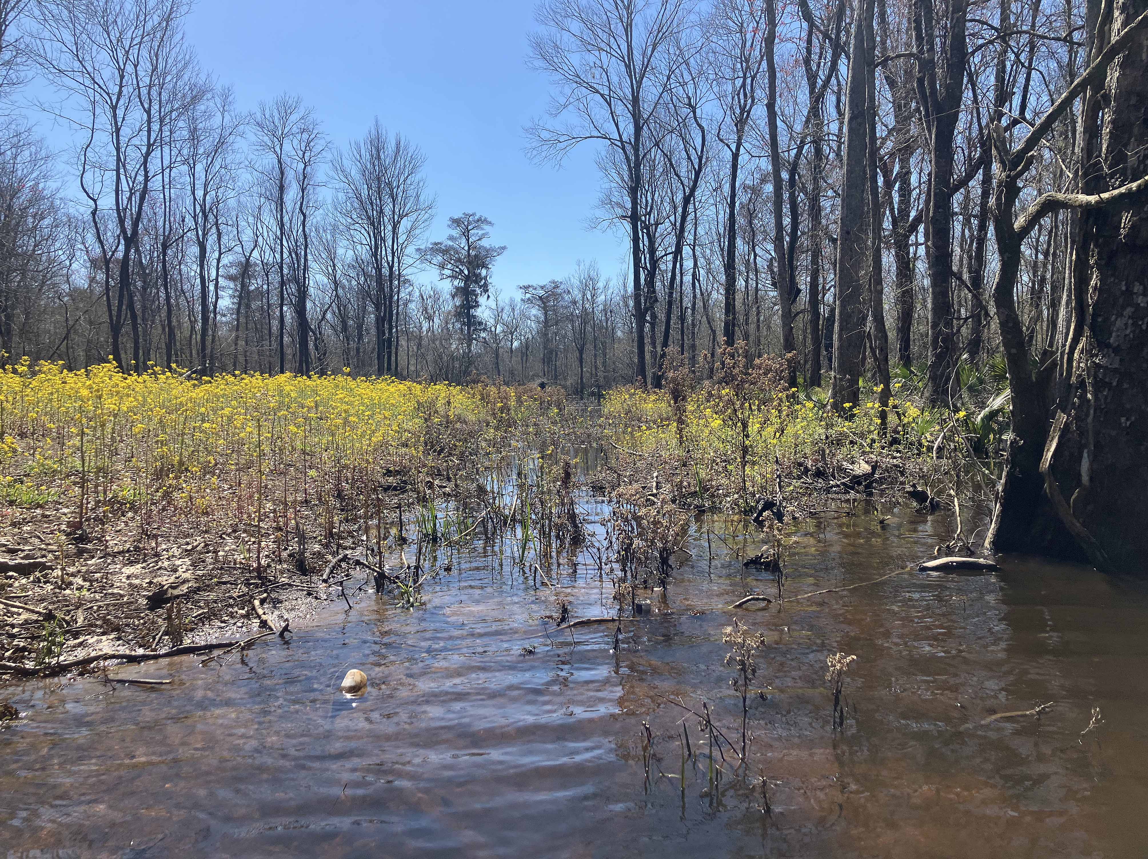
Above: The route is the little break you see in the middle, between the yellow flowers. Barely deep enough for the boat but OK.
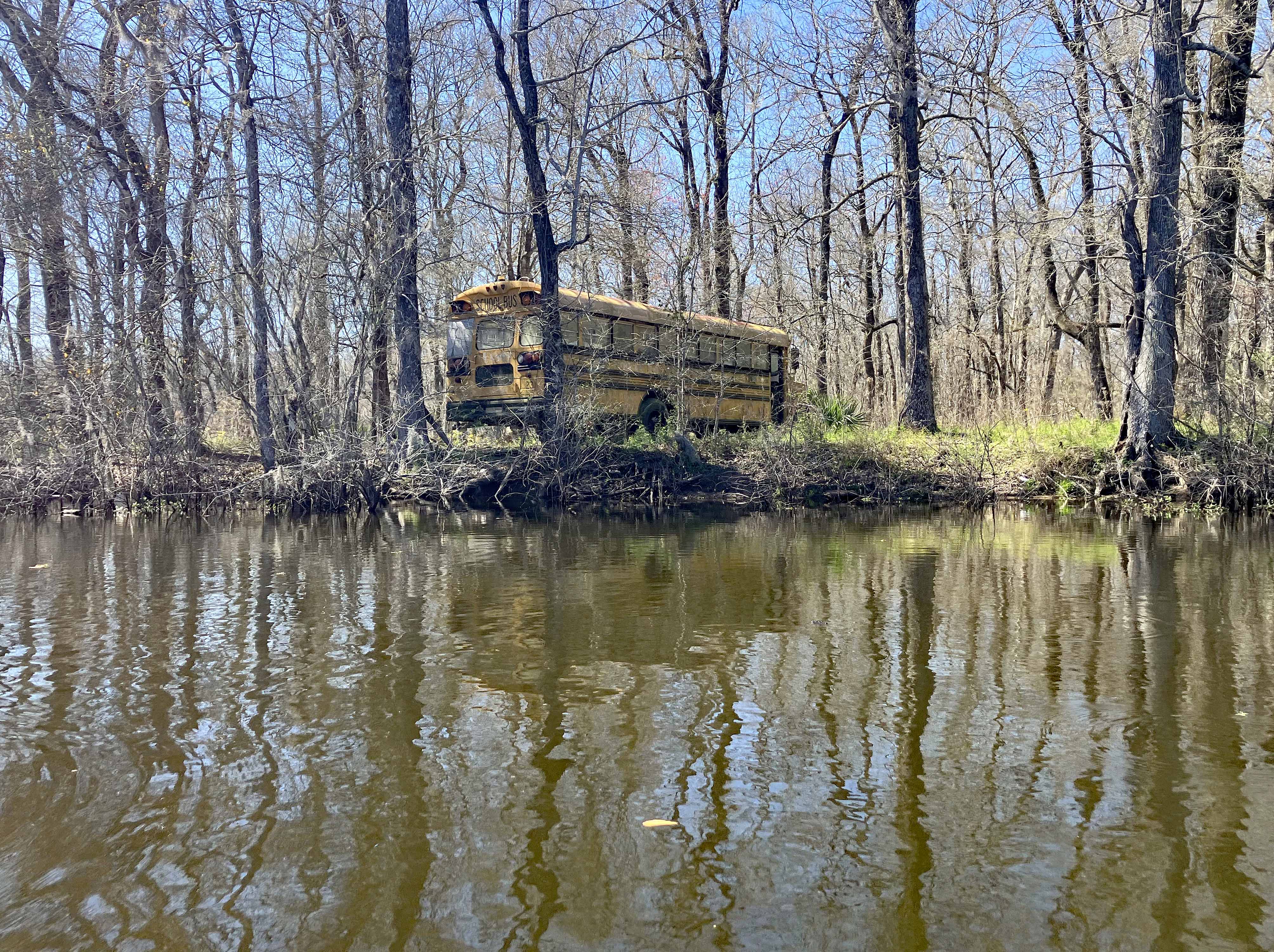
Above: Last stop, everybody out, forever.
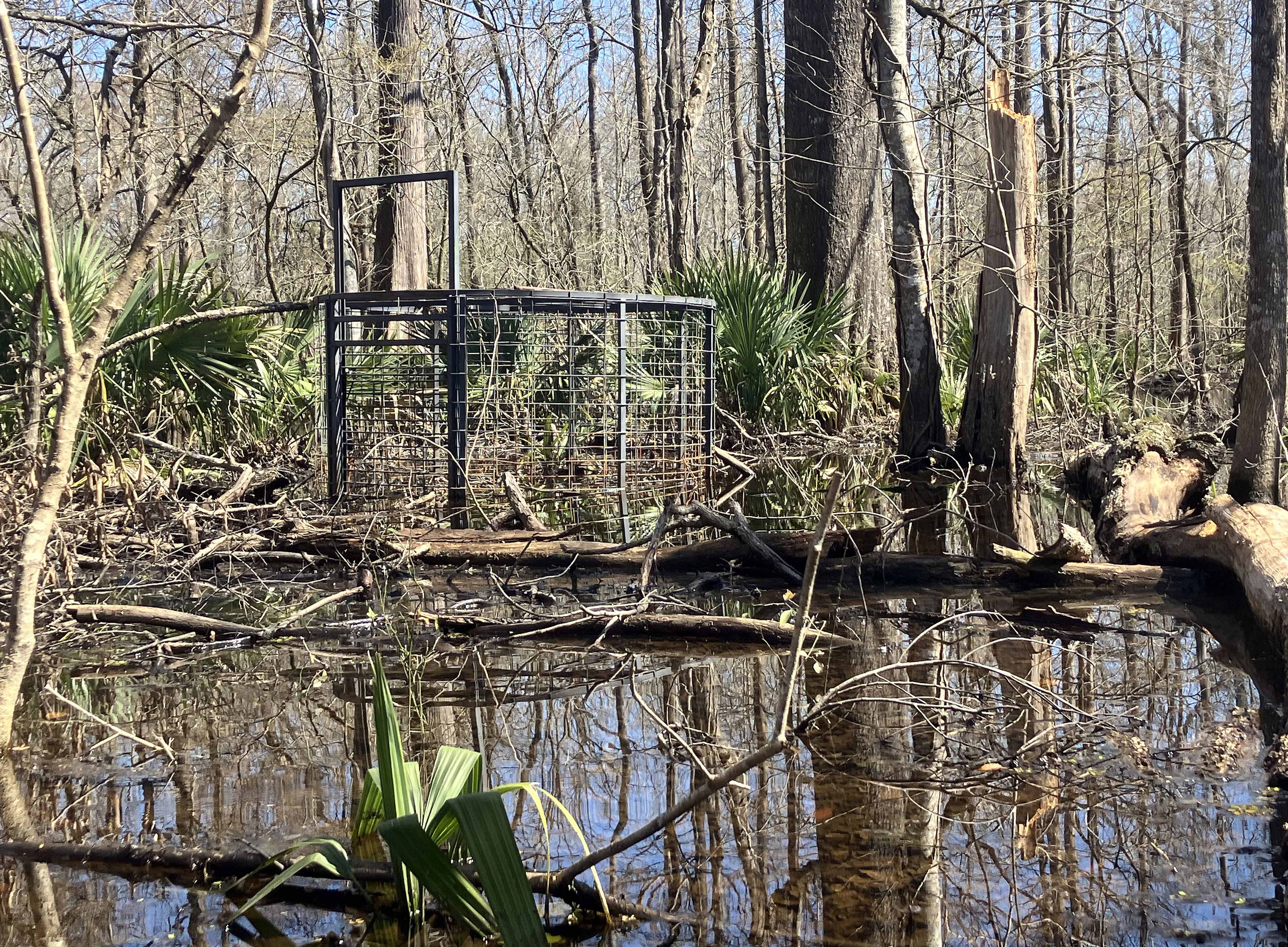
Above: I think this is a pig trap but I’m not 100% sure. I wonder how often it is checked. I wouldn’t get inside.
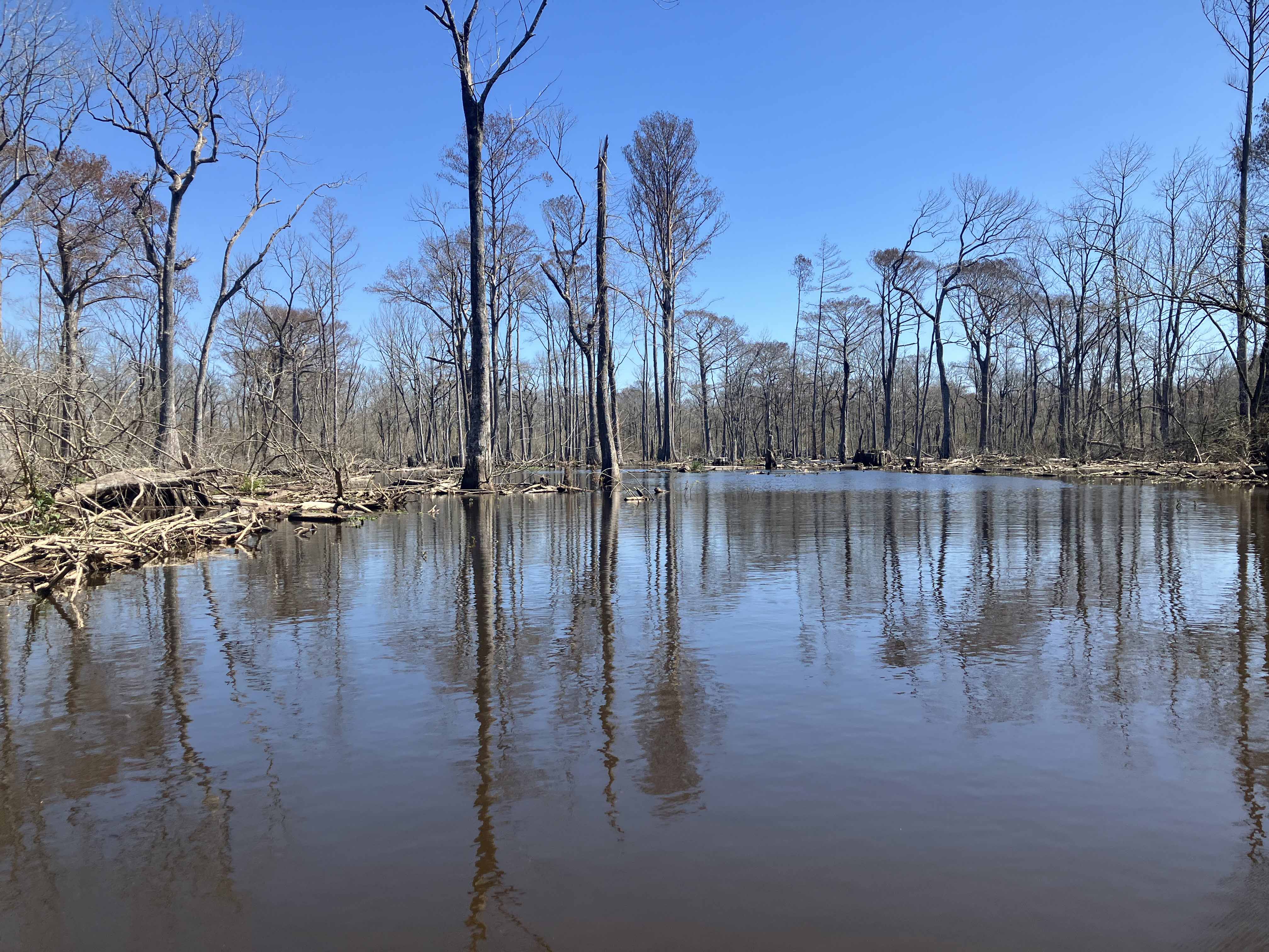
Above: A little interior lake area, but logged and sawed up pretty bad, lots of stumps and debris.
