Blind River, Maurepas Swamp WMA, St. James Boat Club A
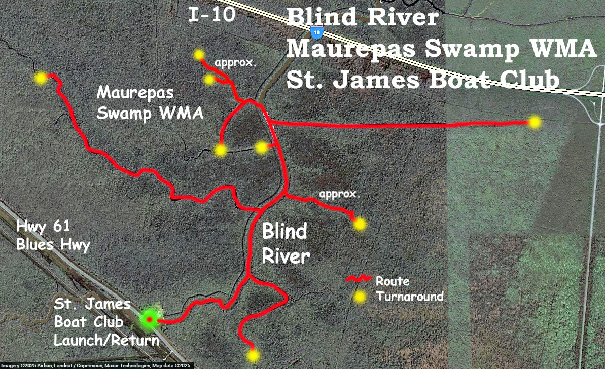
Kayak paddle map route exploring Blind River in the Maurepas Swamp WMA off of Hwy 61, aka Blues Highway, aka Airline Highway. The launch, St. James Boat Club, is about 30 or so miles west of New Orleans. From the start, right away, this was great. The pictures show it. This type of tree-filled cypress swamp is exactly what I was hoping all the Atchafalaya Basin would look like (but doesn’t). Turning left from the launch into Blind River and occasionally thereafter you encounter very large cypress along the river banks that have been left untouched. These trees are massive and give an idea of what things must have once been like. It takes hundreds of years to grow trees like that and now they are mostly gone. The sloughs, channels, and inlets adjacent to Blind River allow access to the sprawling swamp on each side. The route goes north along Blind River and tries to access these inlets as they are encountered, left and right. On occasion you surprise a cluster of little gators and they all go streaming into the water like destroyers. I reached a point where Interstate 10 was visible, but didn’t go up to it or beyond. More trips are possible here, further up the river as well as to the west. There were self-clearing WMA permits at a sign as you drive in. The USGS Airline Canal at Blind River read about 0.9, a good level.
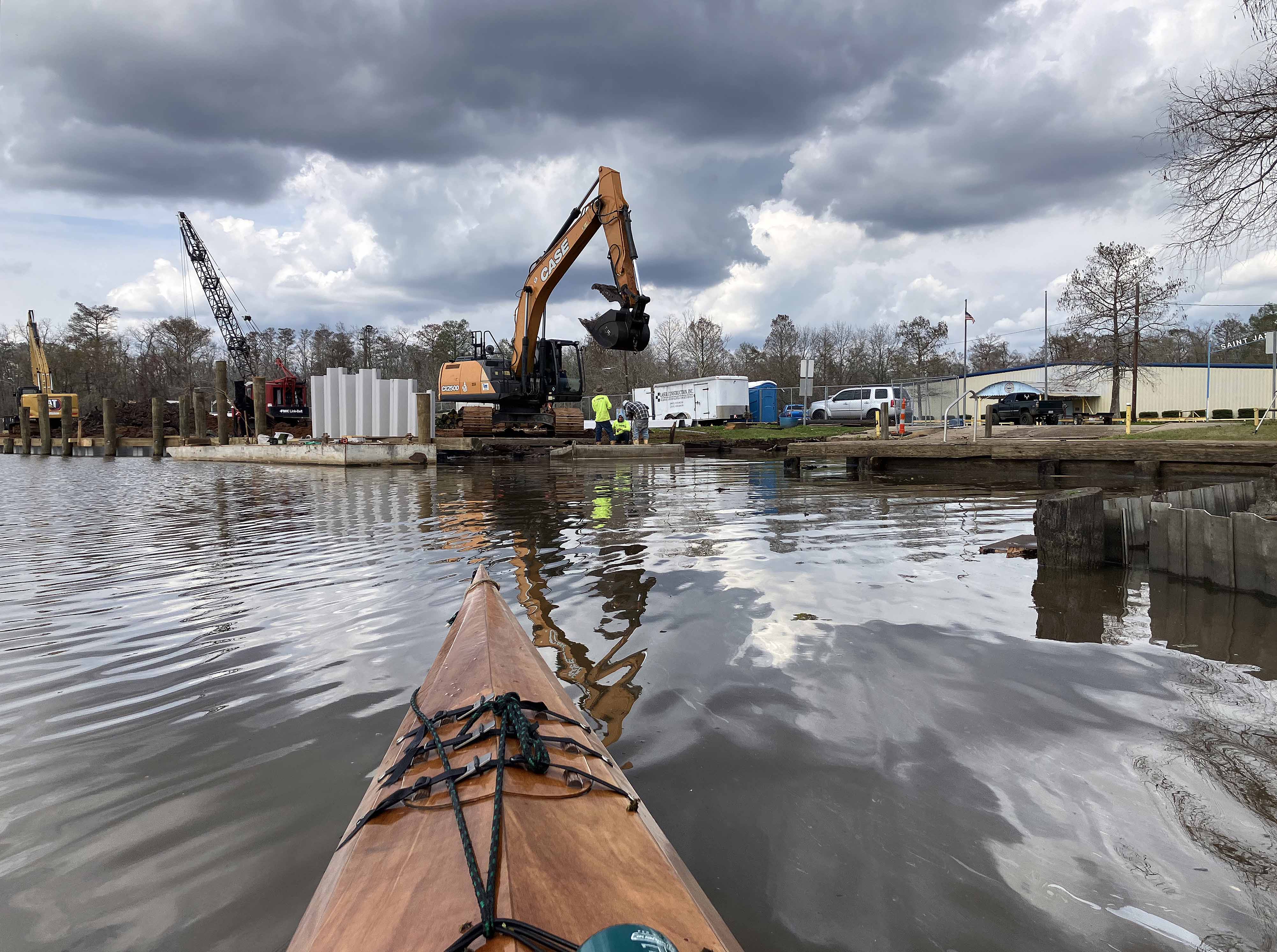
Above: Coming back from the paddle to the St. James Boat Club Launch, some construction going on.
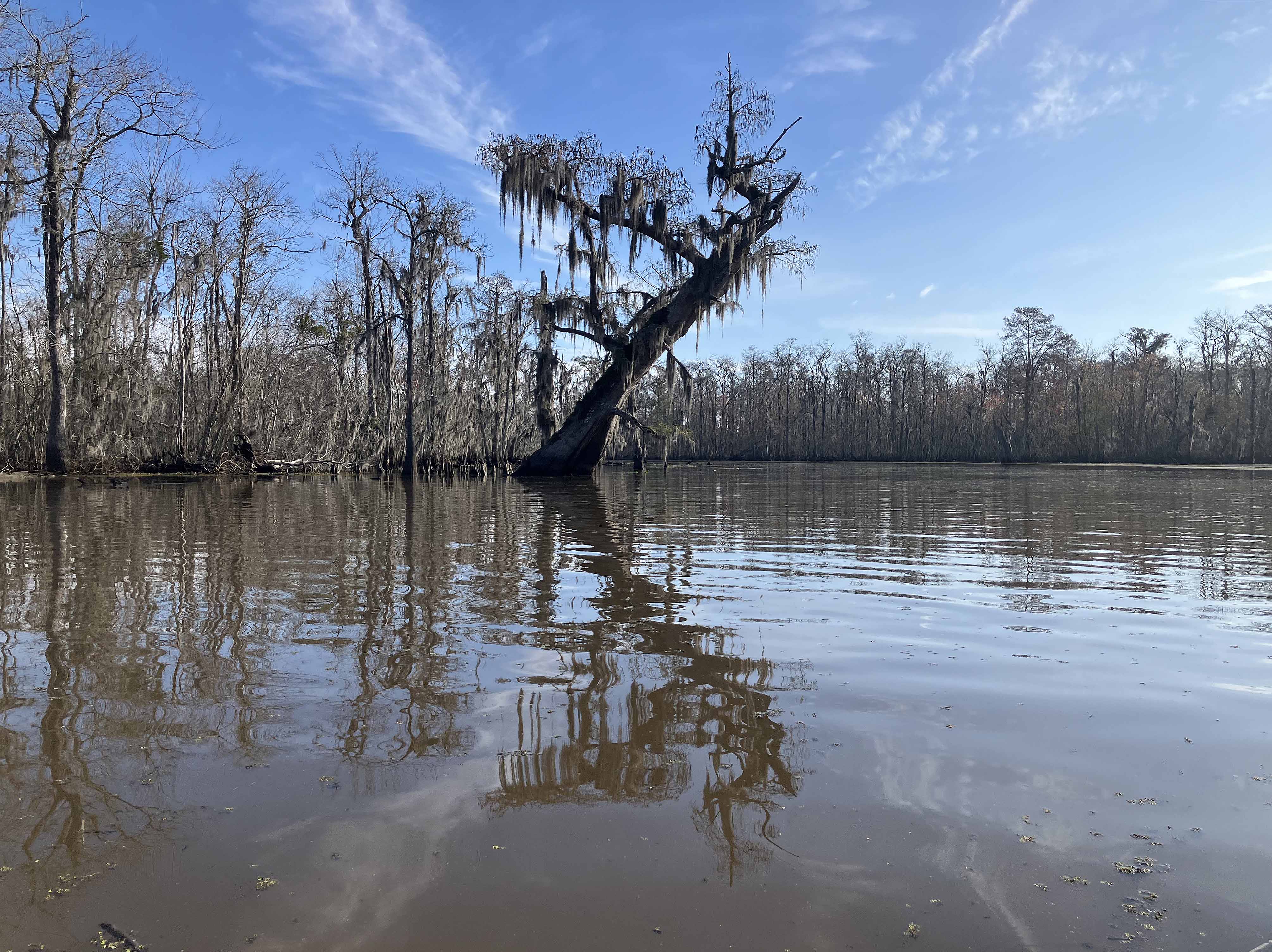
Above: Right around the corner of the launch is this behemoth, tilting over the river.
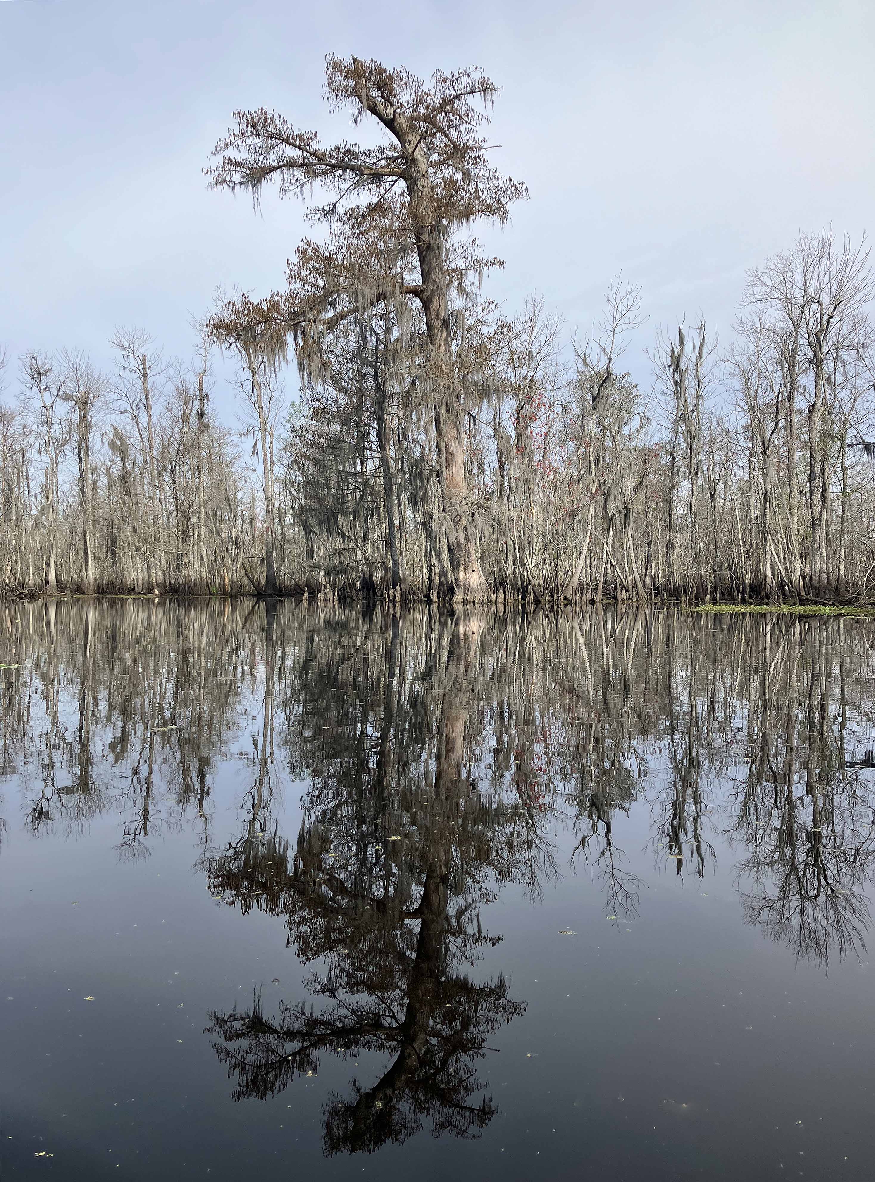
Above: Another old cypress giant. The other trees pale in comparison.
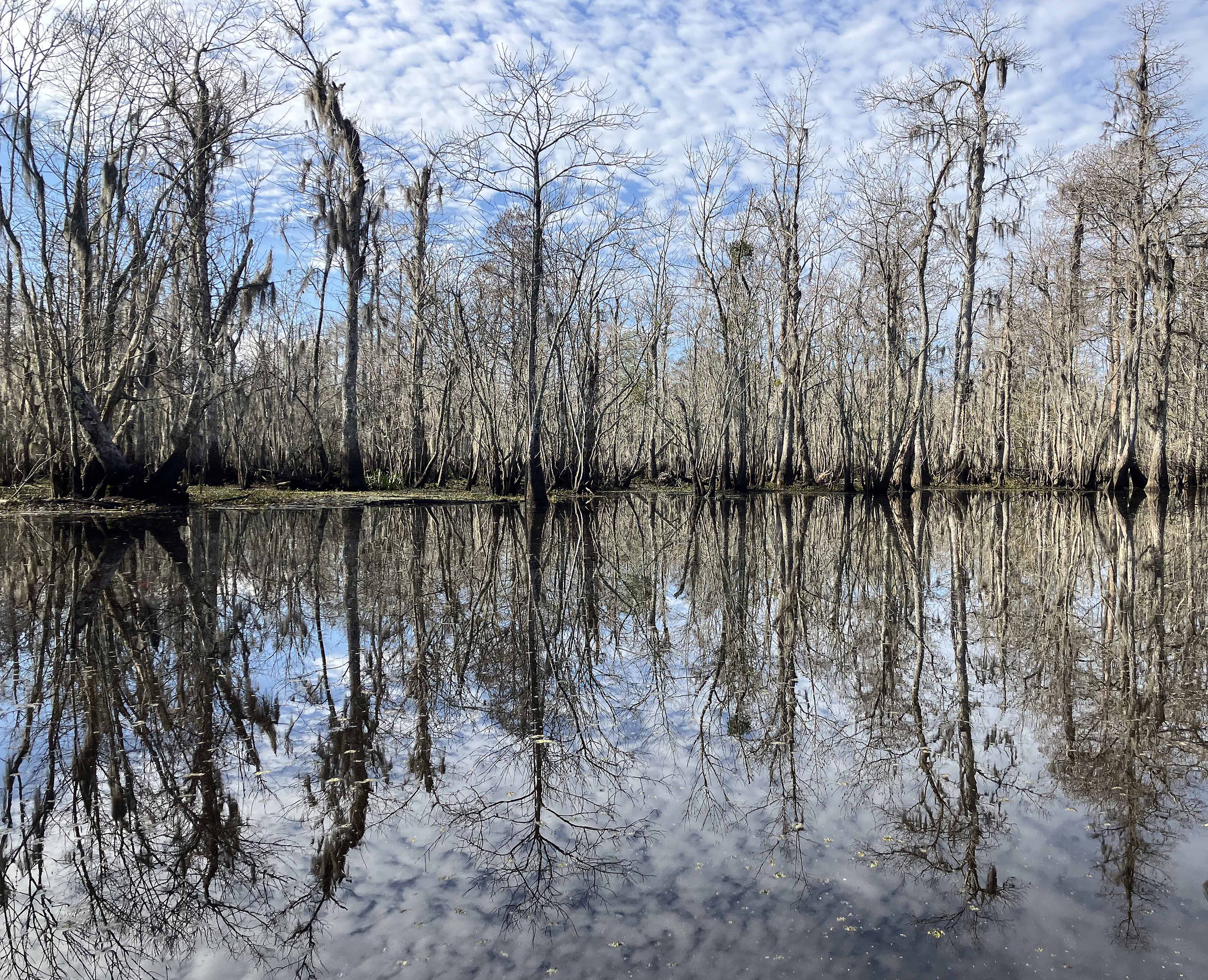
Above: Wow.
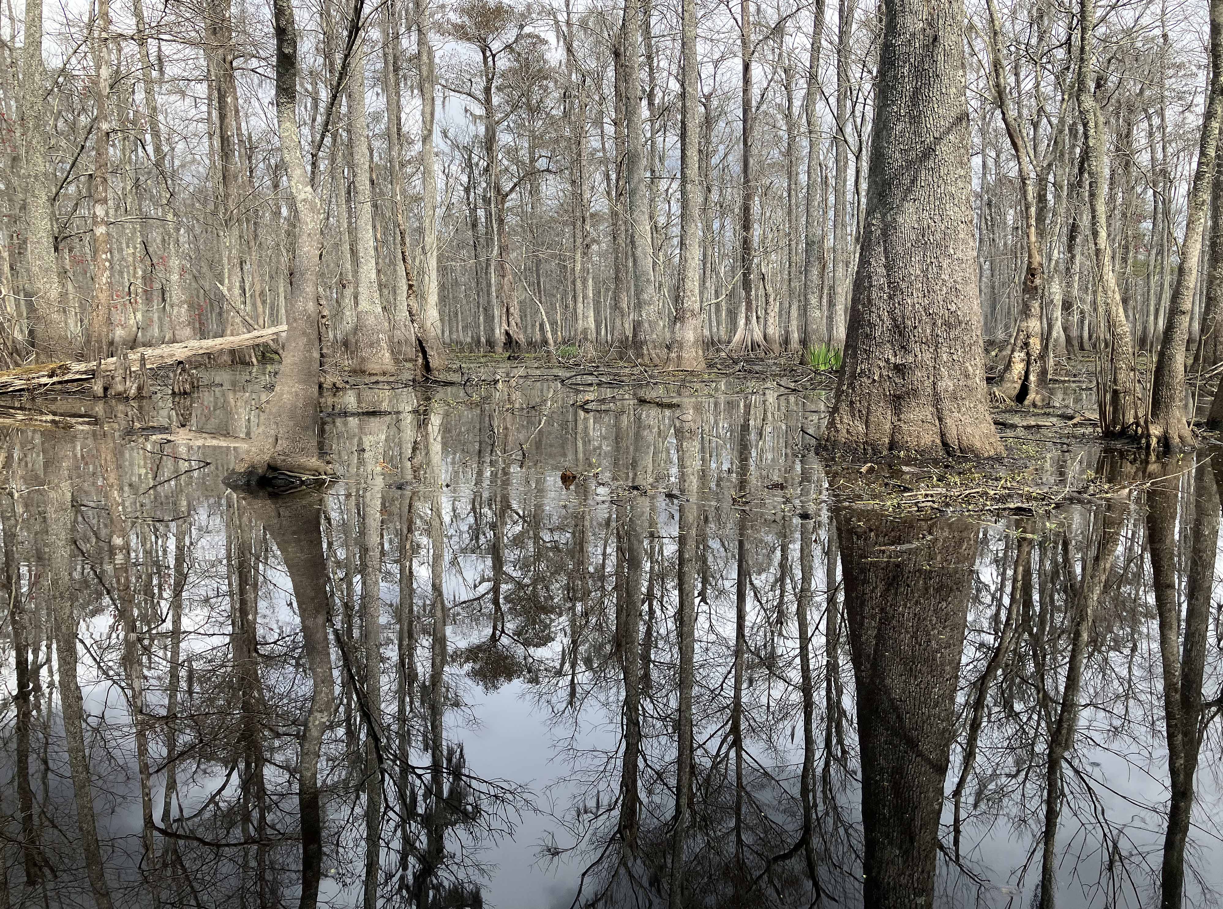
Above: Lots of swamp to explore beyond the main river.
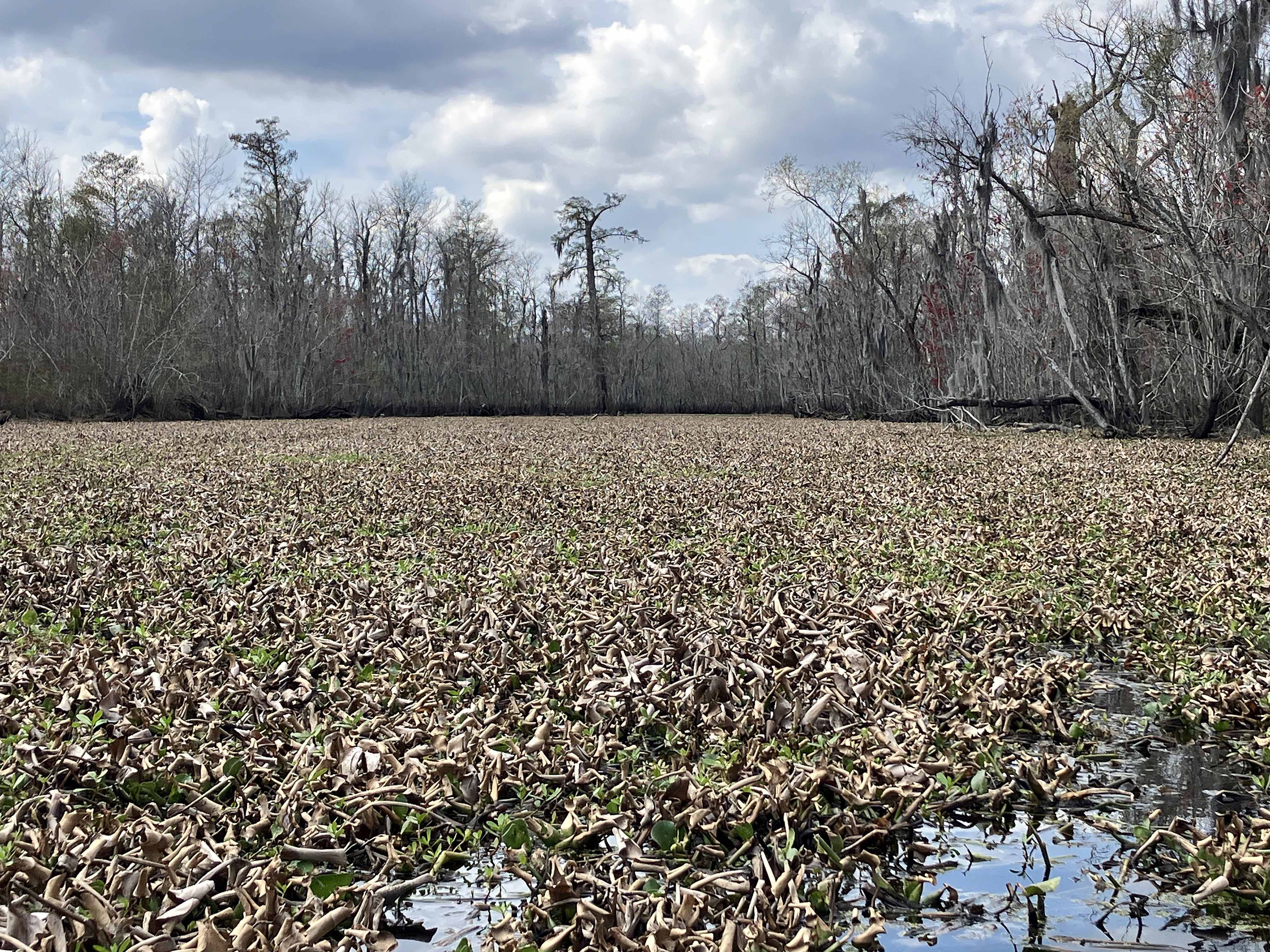
Above: Well, a few problems, some channels are clogged with lilies/hyacinth.
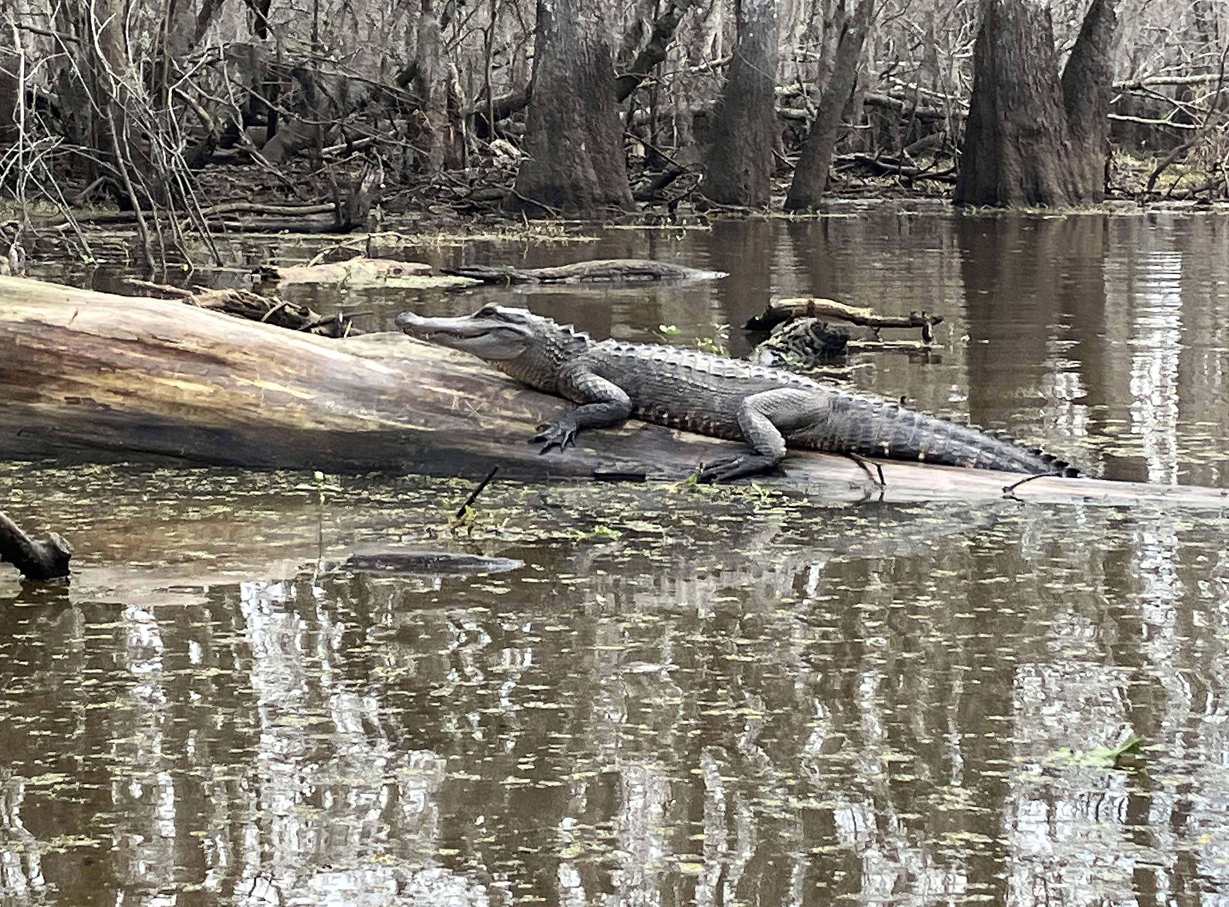
Above: This alligator bolted into the water the first time I saw it, but coming back it was on it’s log again and this time stayed still for a photo.
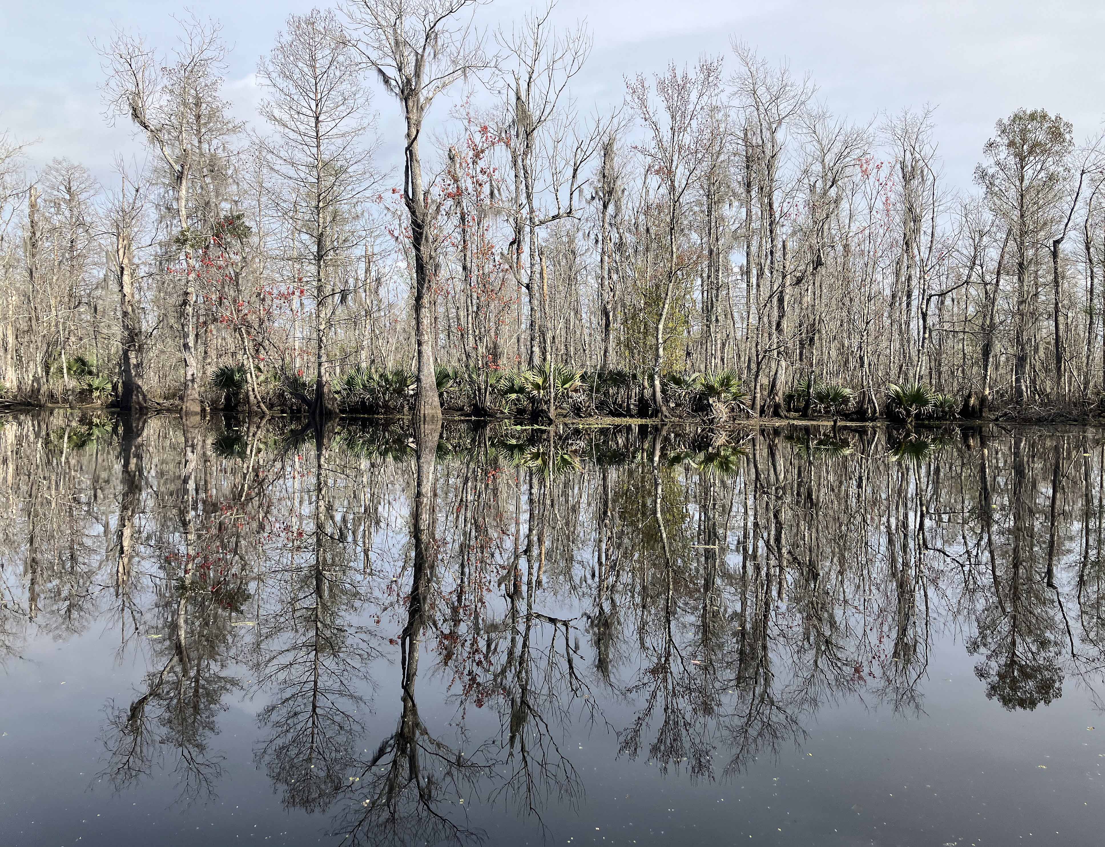
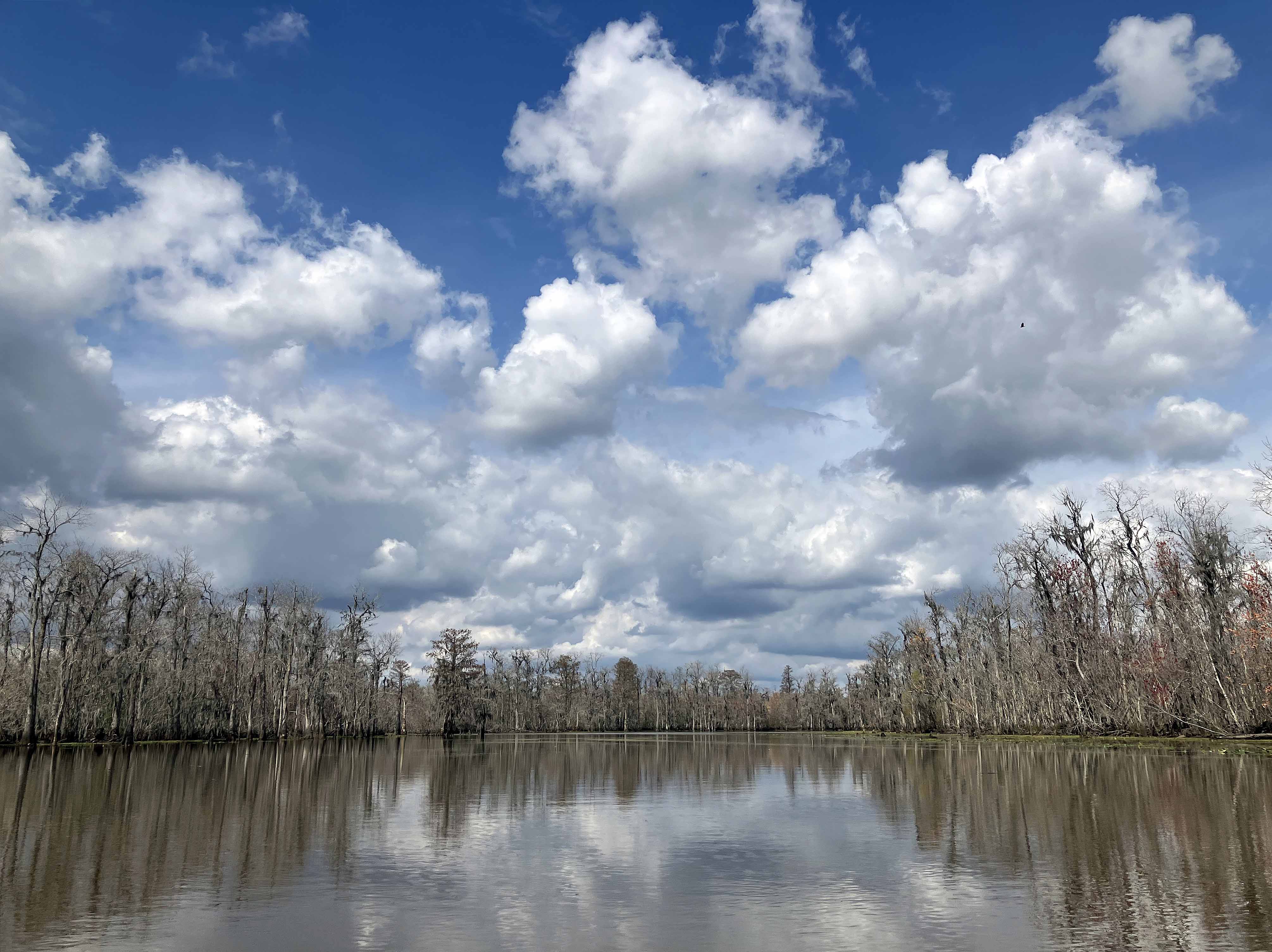
Above: How great it is.
