D/Arbonne NWR, Hollands Bluff B
This is the second route I have done starting from the Hollands Bluff Launch in the D’Arbonne National Wildlife Refuge. I drove from Dallas, stayed at Lake D’Arbonne State Park, drove to the refuge and the sign says *LAUNCH CLOSED*. ack! But the ranger at the station said with a kayak just slide it in wherever you can no problem. Thank you! The ranger also explained that the water in the refuge was down three feet because of a emergency repair on a lock/dam along the Ouachita River downstream at Columbia LA. However, people I talked to had a variety of alternative explanations. In any event, levels here, and upstream at Lake D’Arbonne, were super low. For this trip that meant that rather than exploring the otherwise huge expanse of D’Arbonne NWR, I paddled down the D’Arbonne Bayou corridor to Highway 143 and back. Everything to either side was mud. Which was fine, kind of weird, very unique as the pictures show. Saw five or six gators, a bald eagle, and lots of fish concentrated into much smaller volume than normal. Great, scenic paddle under peculiar conditions. Note that a large region on the west side of the D’Arbonne NWR is off limits for waterfowl hunting AND is open all year to non motorized watercraft. The seasonal entry limitations vary from refuge to refuge but this one can be paddled year round.
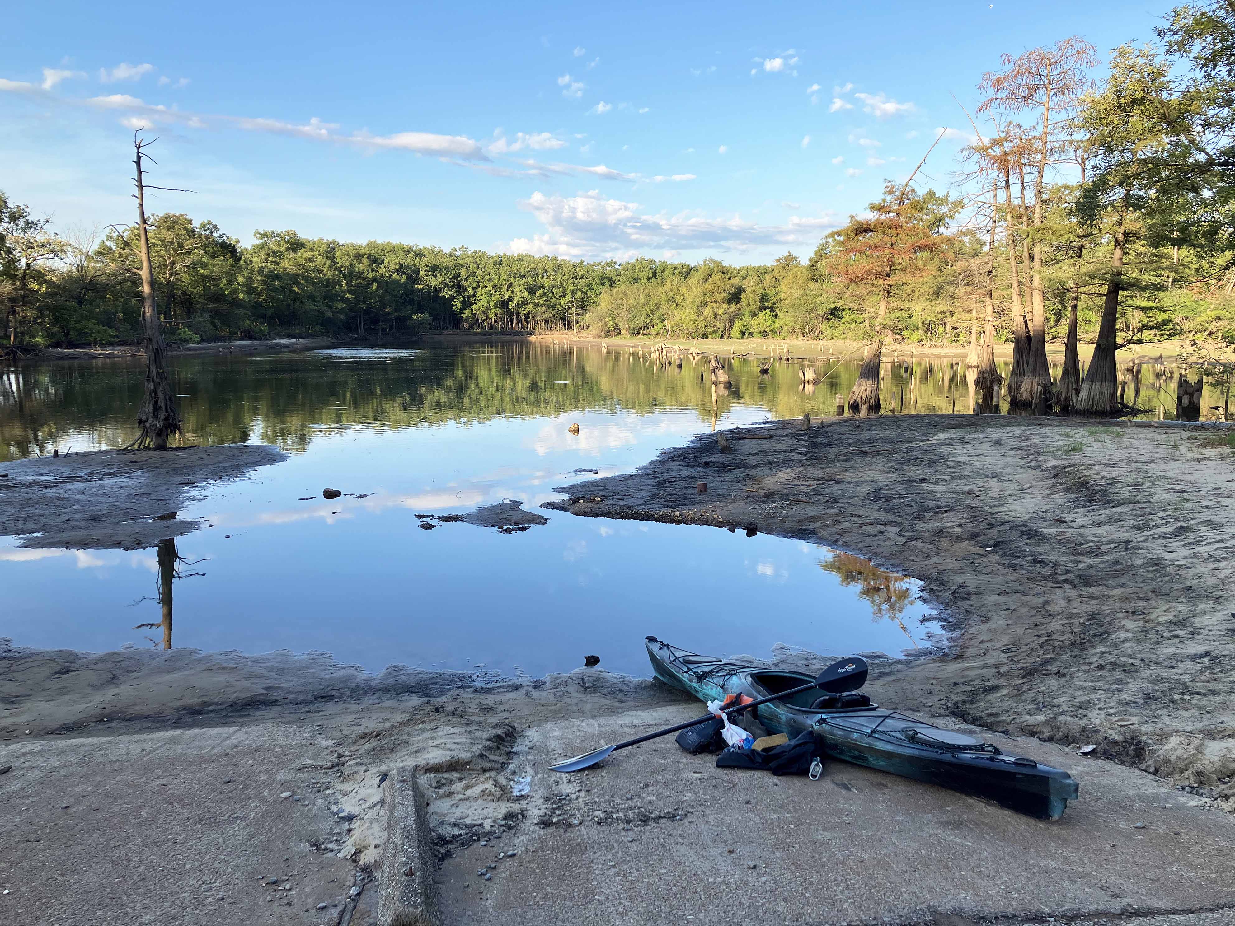
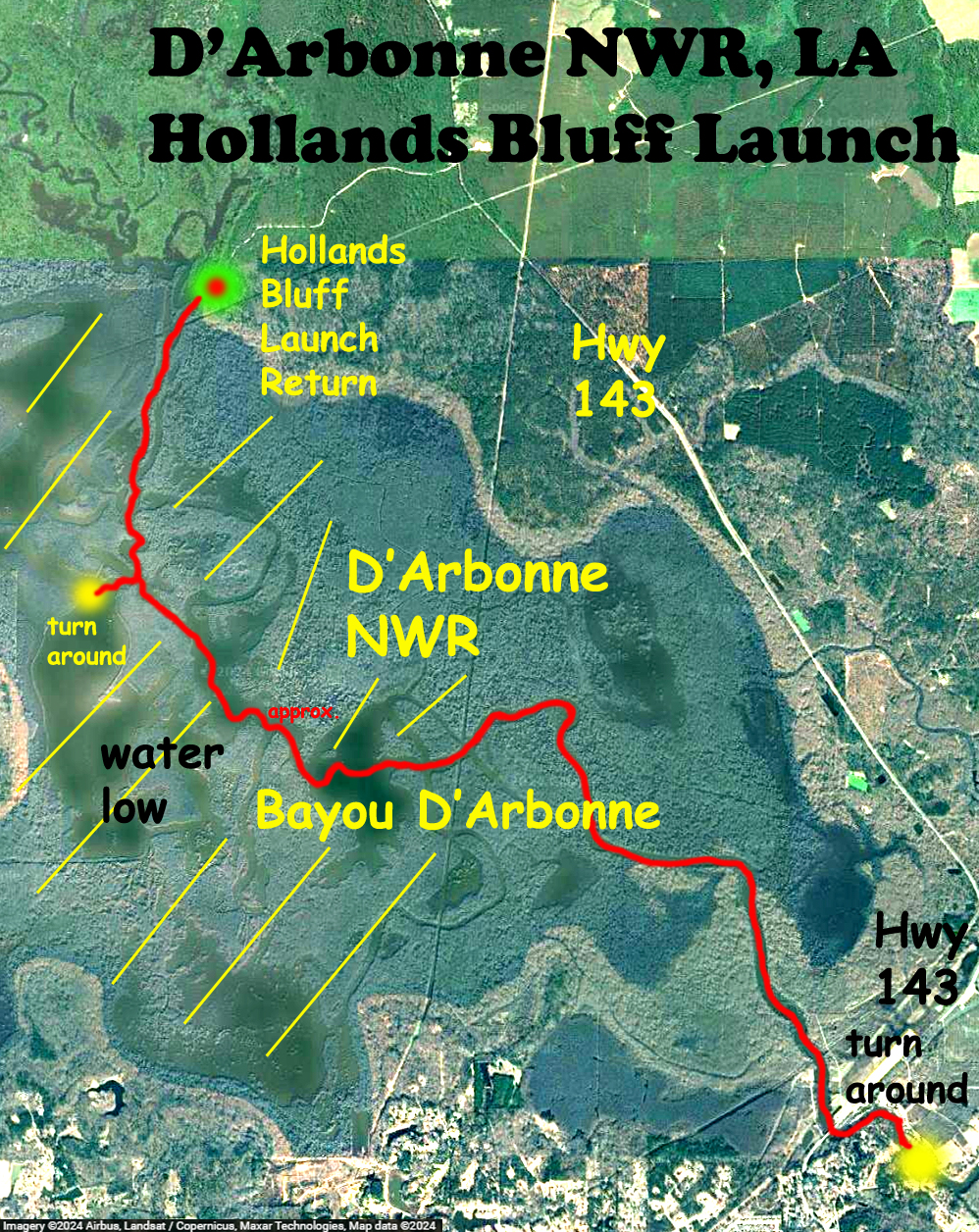
Above: Hollands Bluff Launch is SO low, look how low.
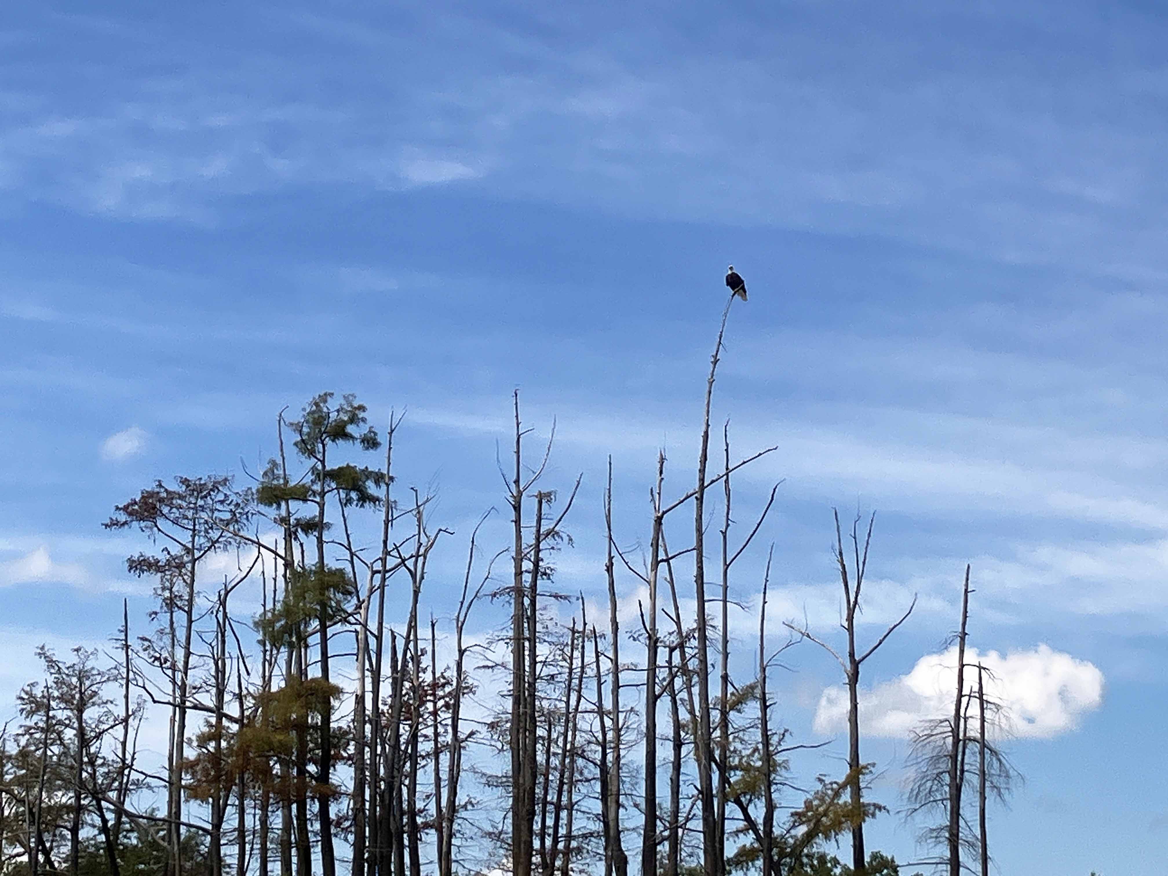
Above: The iphone tries to take a clear picture of a bald eagle.
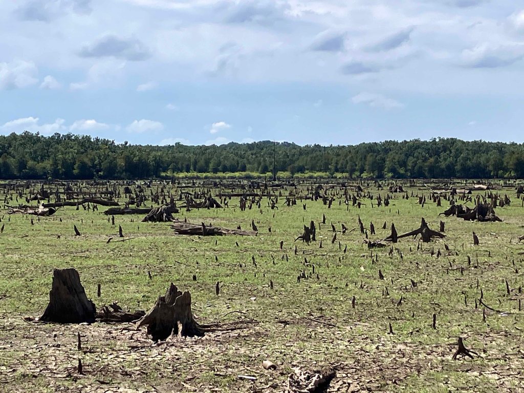
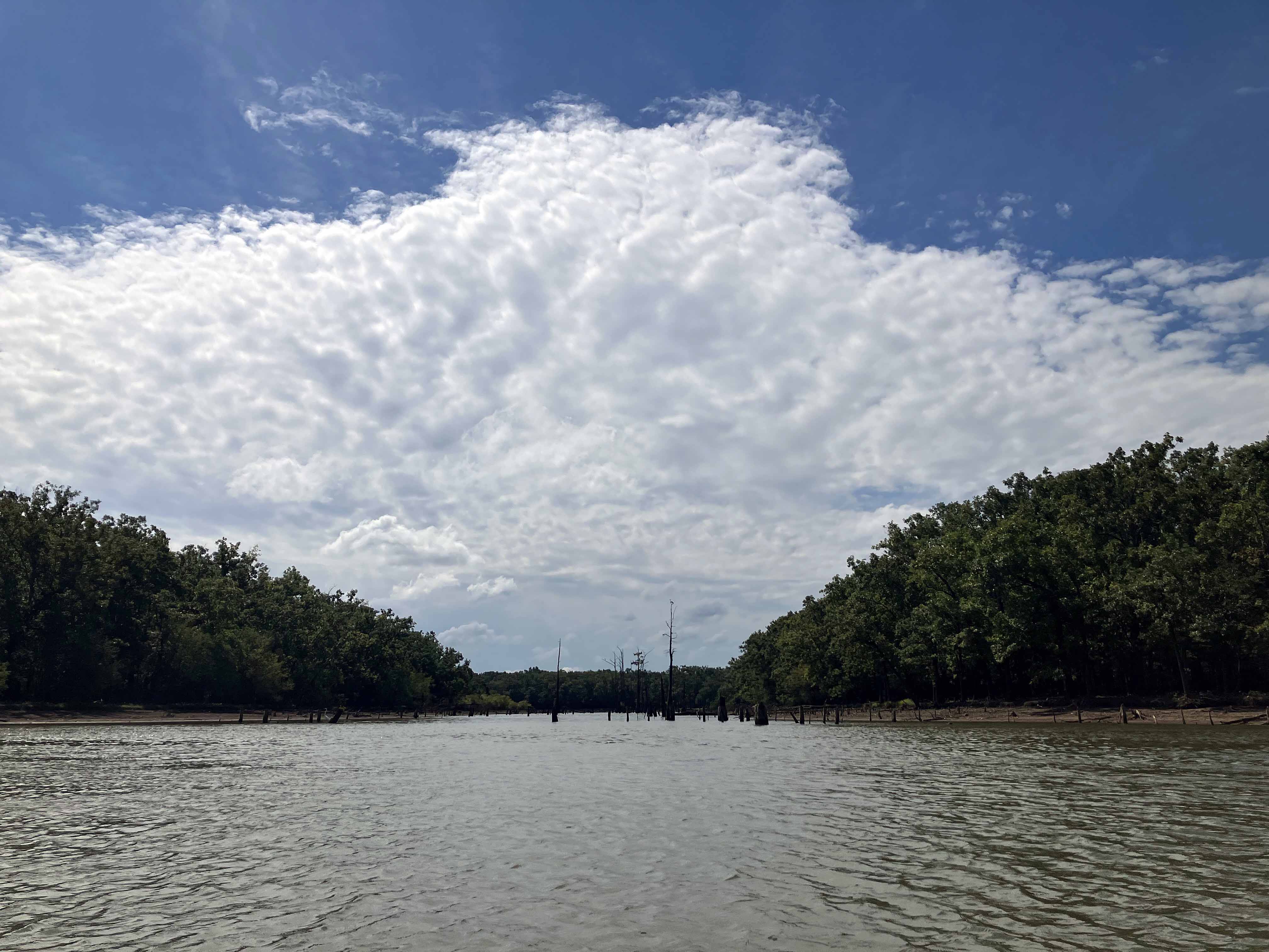
Above: Wow! This is often a huge shallow lake in the refuge, now it is a broad flat plain of grass and stumps. Incredible.
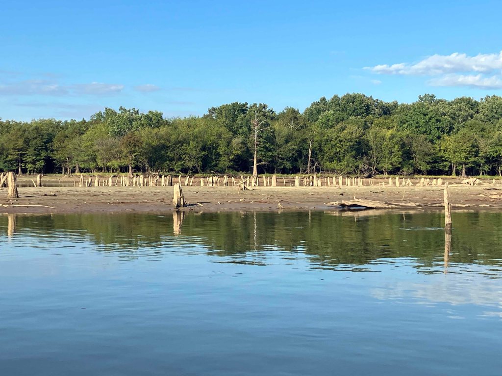
Above: A lot of shoreline.
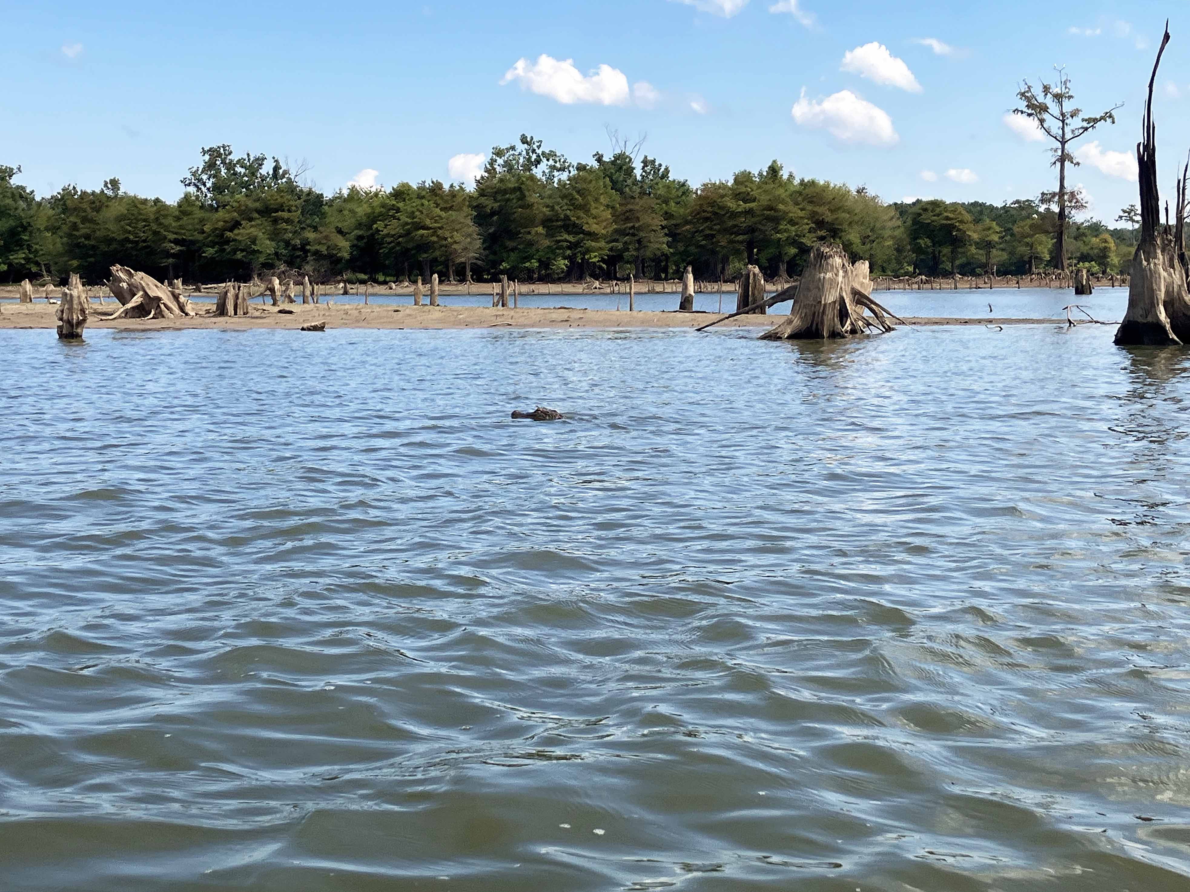
Above: Gator in the water, one of five or six I saw along this down and back route.
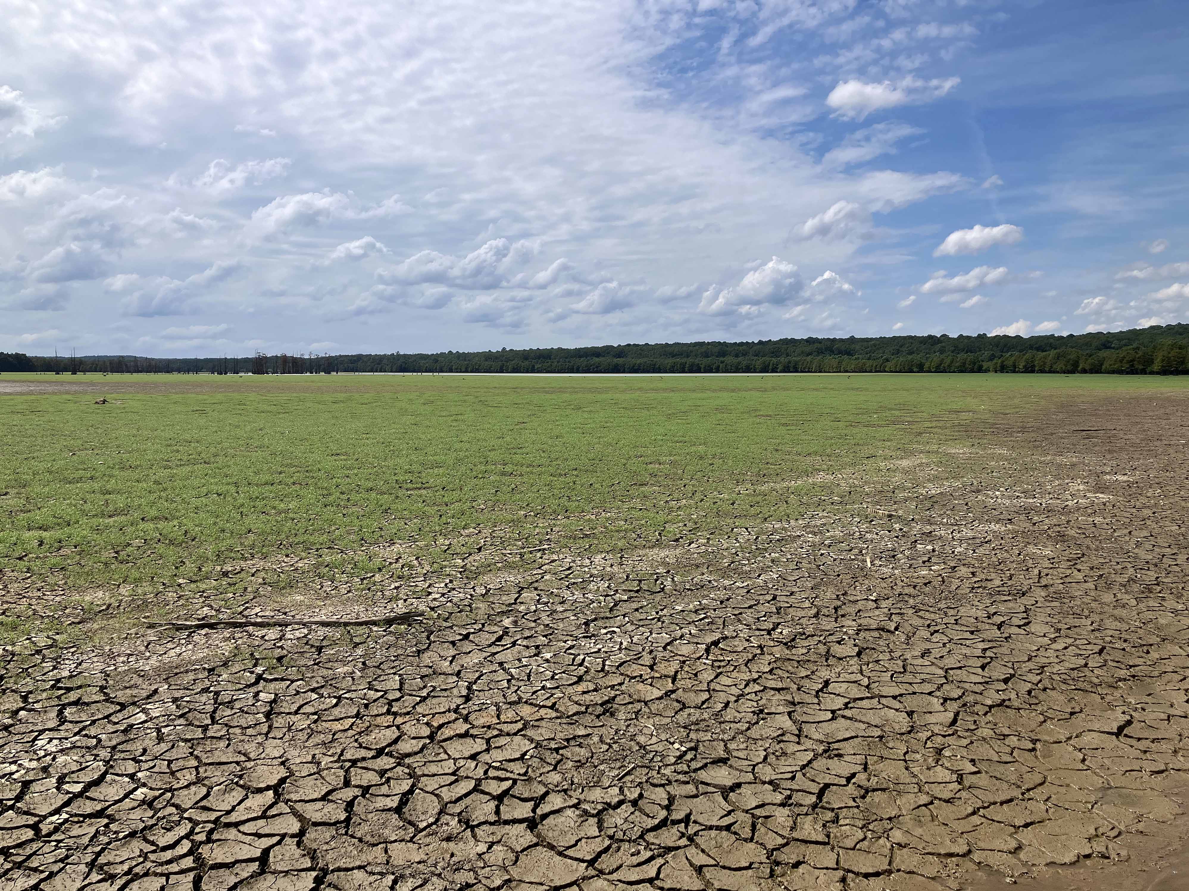
Above: Another huge area of the refuge that would normally be submerged.
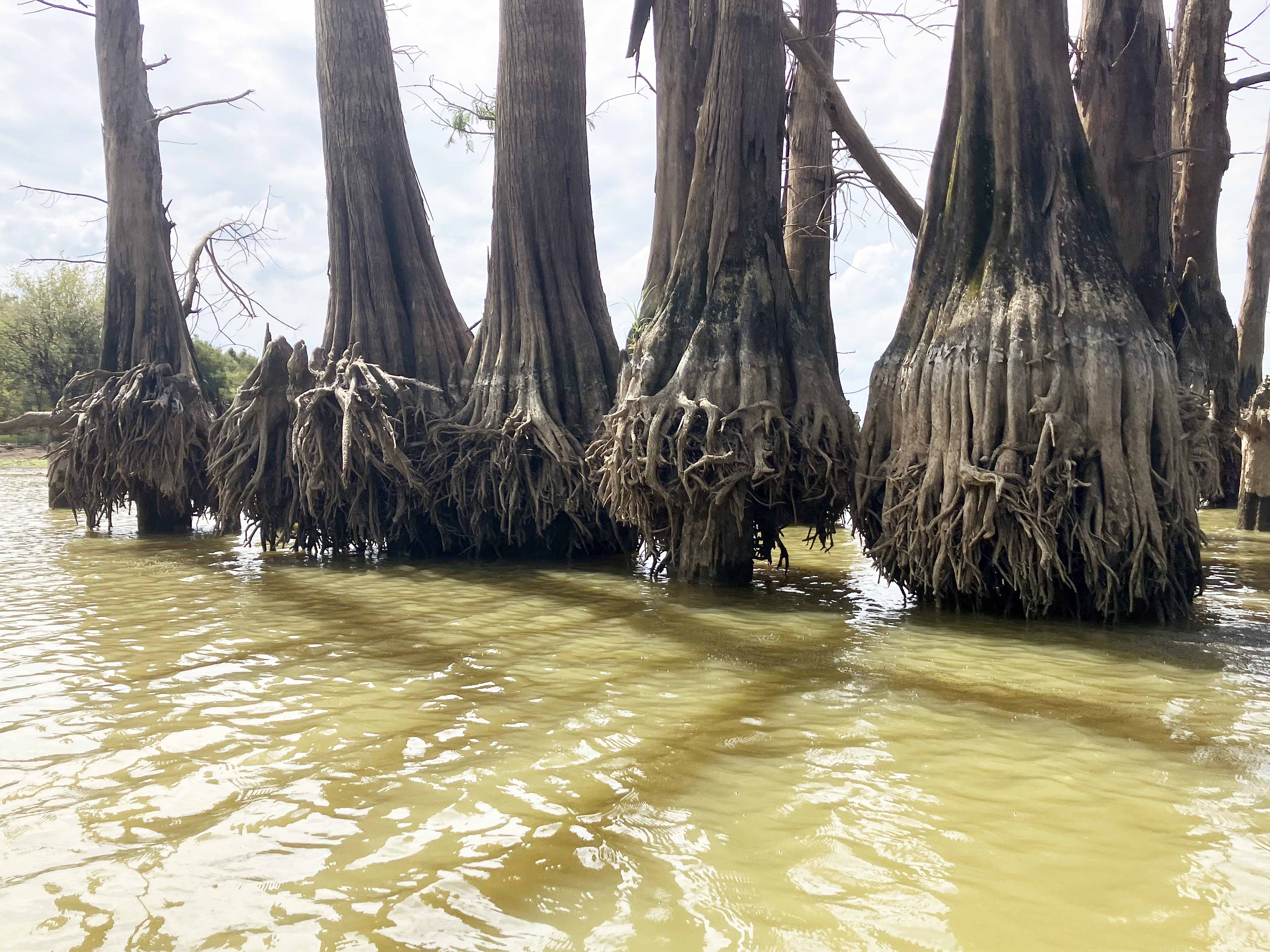
Above: The base of dead cypress trees kind of stand up on a narrow shaft with their old roots exposed.