Indian Bayou, West Dixie, Atchafalaya Basin, LA A
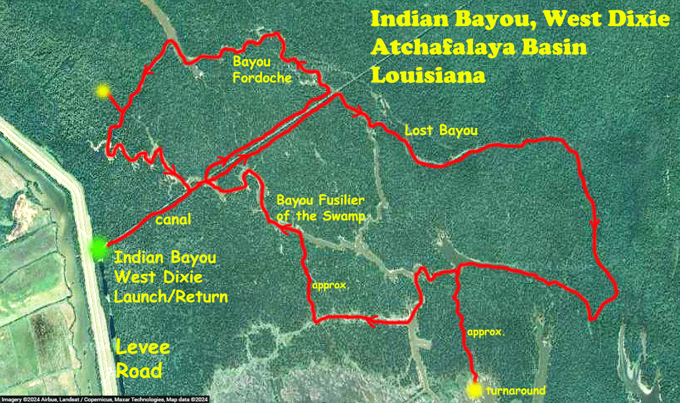
This route into the Indian Bayou area of the Atchafalaya swamp starts at the West Dixie launch. The access is a parking area up and over the levee at about 4 miles north of Interstate 10 on Henderson Levee Road. The route is a variant of internet-suggested trails that launch here into Bayou Fusilier of the Swamp and Bayou Fordoche (a Fusilier is a soldier that carries some sort of flintlock musket, a Fordoche is …). However, this route is a bit more involved than the internet version and gets into some areas that are brushy, narrow, and heavily covered with surface vegetation, making progress difficult. I initially wanted to find the connection to Indian Bayou but it was a little tricky and once I was in that area I redecided things (chickened out) and thought it might be best to circle back around. Overall the route is a figure 8, out to Lost Bayou, down to the lake, up Little Fordoche Bayou, back to the canal, up and around to Lake Fordoche, again back to the canal, and finally to the launch site. The water level seemed quite high and in some areas you could float into or take shortcuts through the adjacent woods, which was the case in the red trail areas I have marked as ‘approx’. I don’t think this would be possible at lower levels. This was an exciting and satisfying trip, some big gator sightings, didn’t get too lost, no major foul-ups. And, there is more to do by launching either here at West Dixie or at I-10.

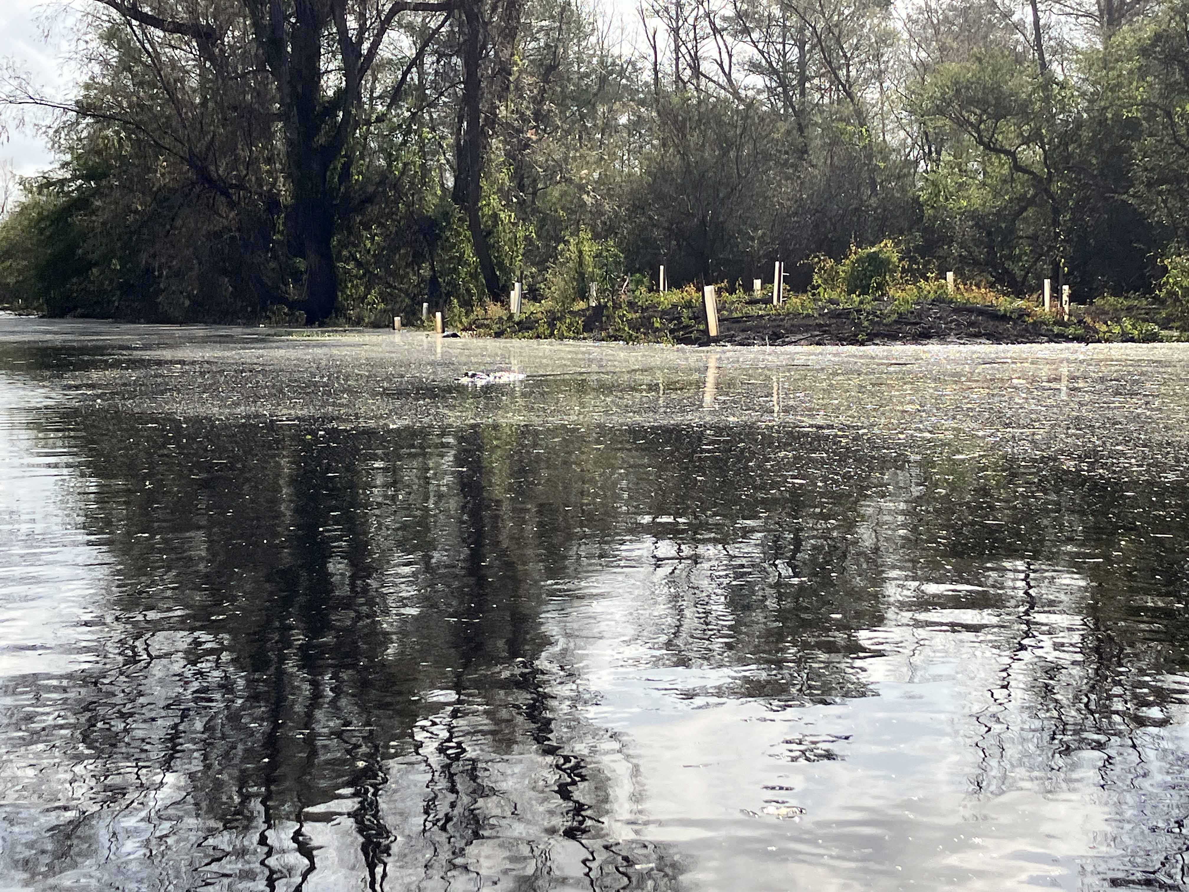
Above: Paddling into the main canal from the West Dixie Launch.
Above: A decent sized gator right near the shore at Lake Fausse Pointe SP.
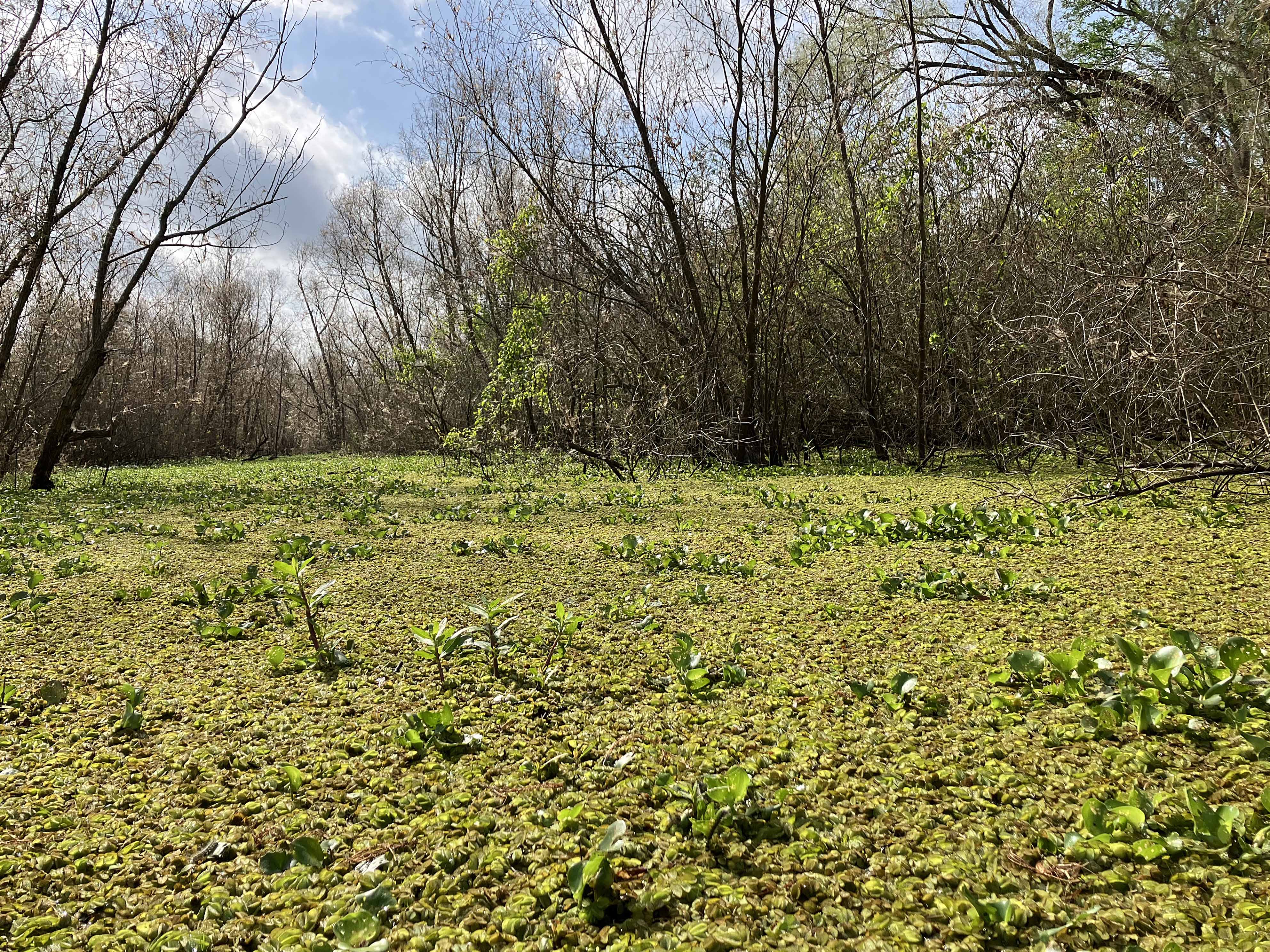
Above: Slogfest.
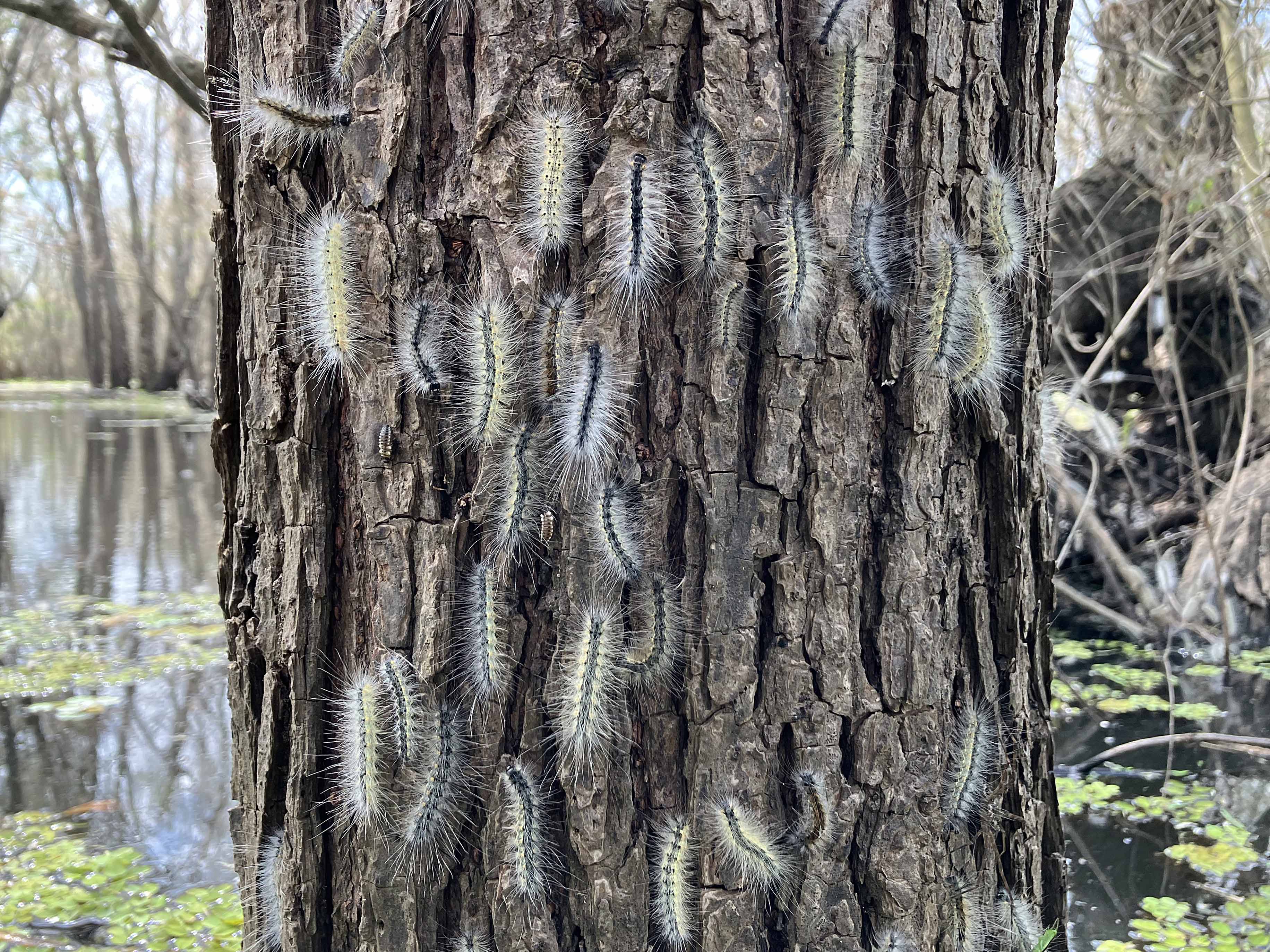
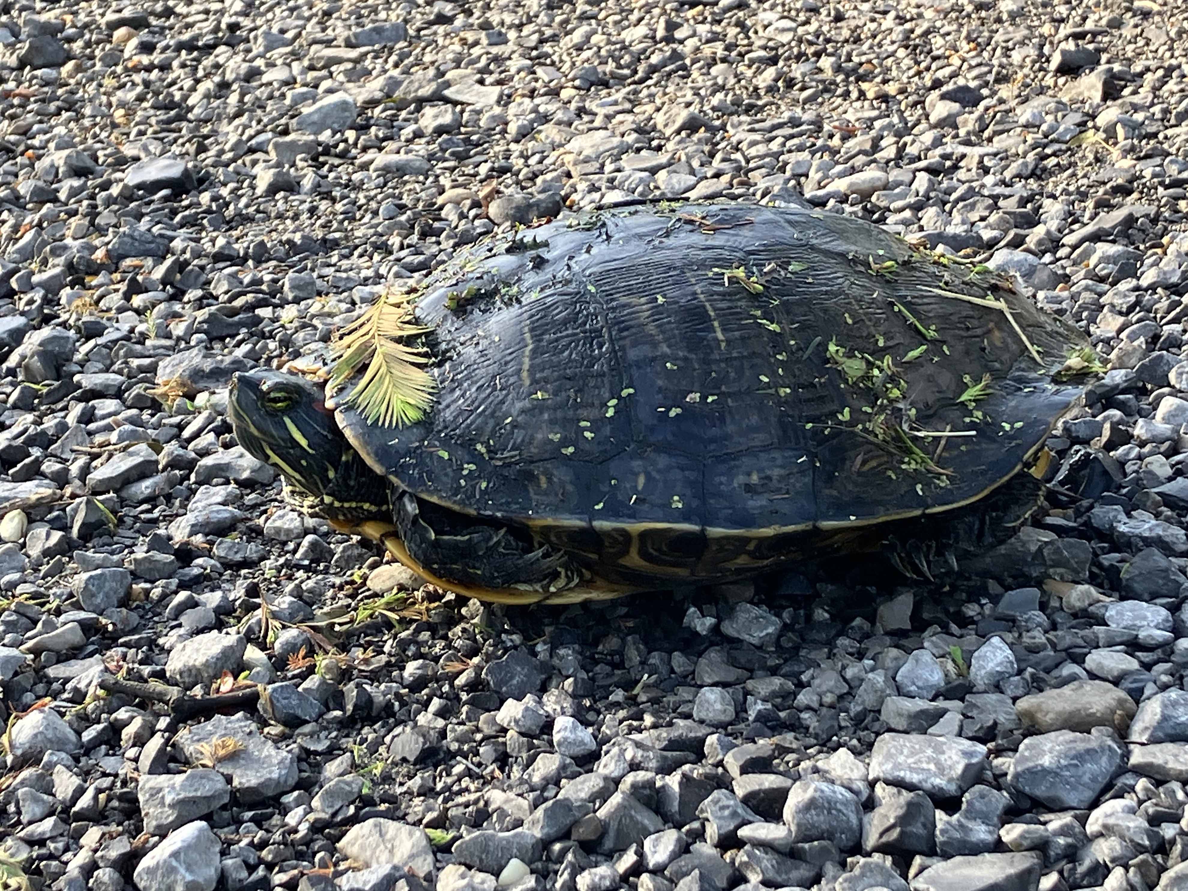
Above: These things were just falling out of the trees everywhere.
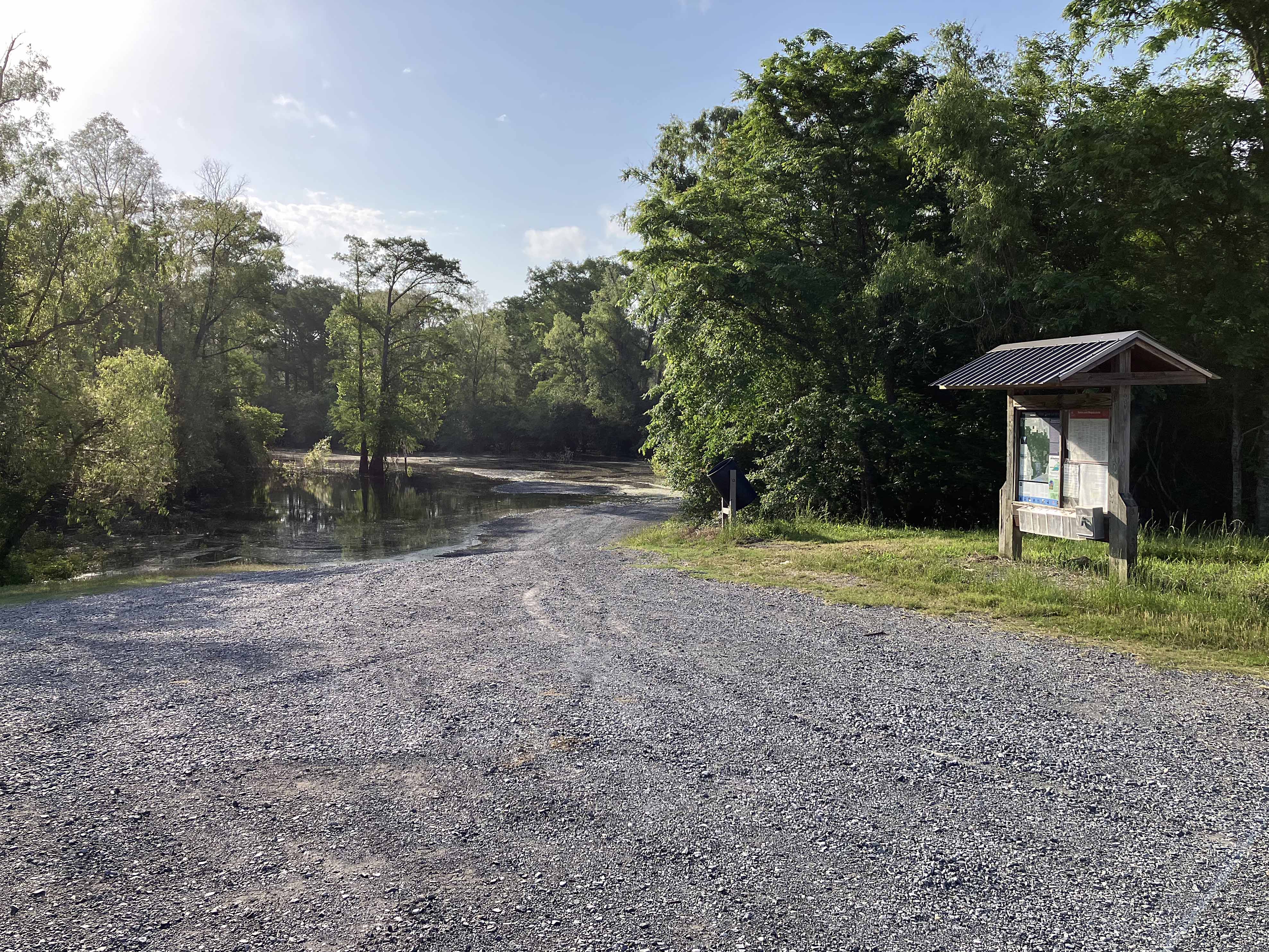
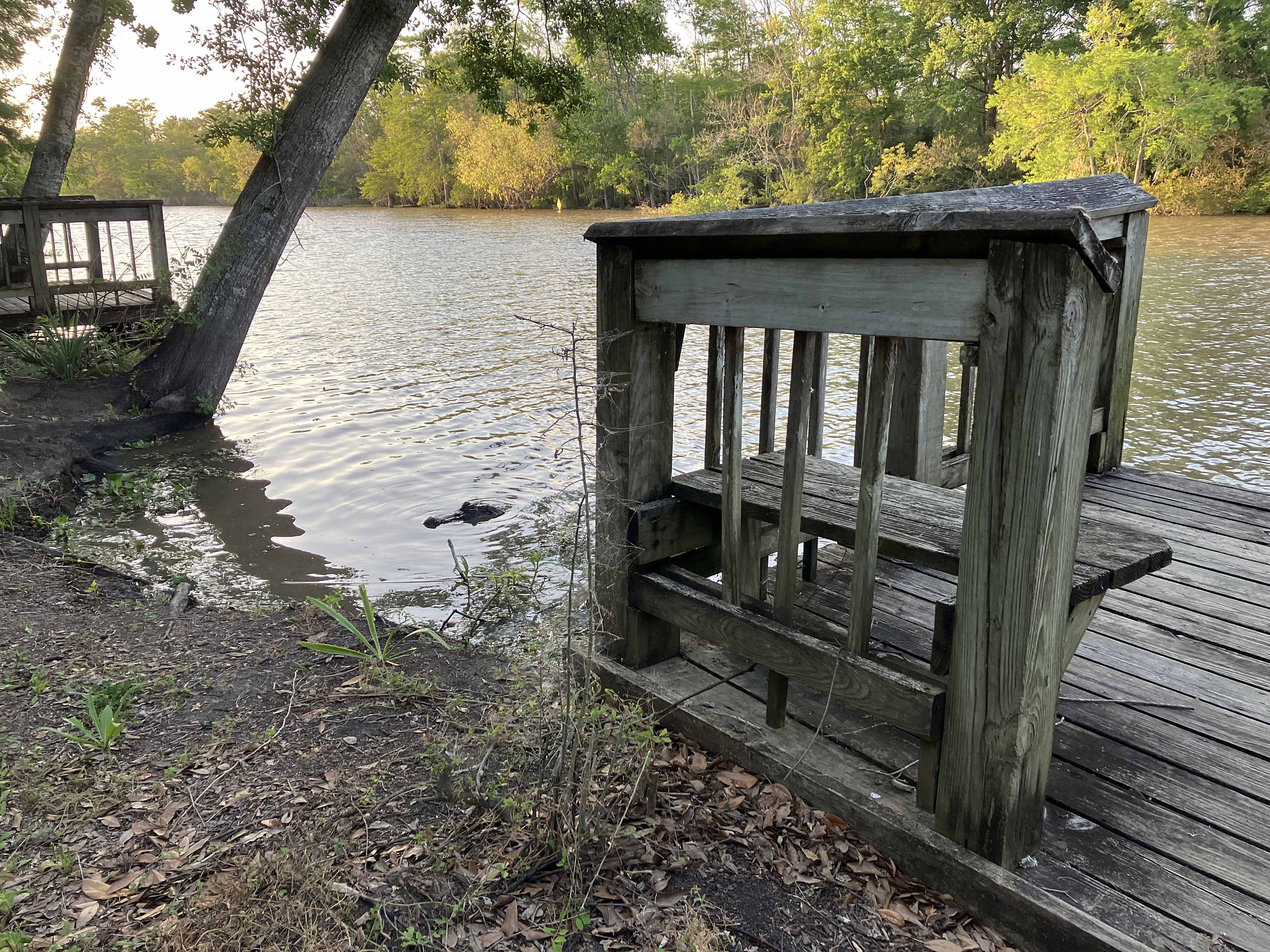
Above: West Dixie/Indian Bayou launch site.
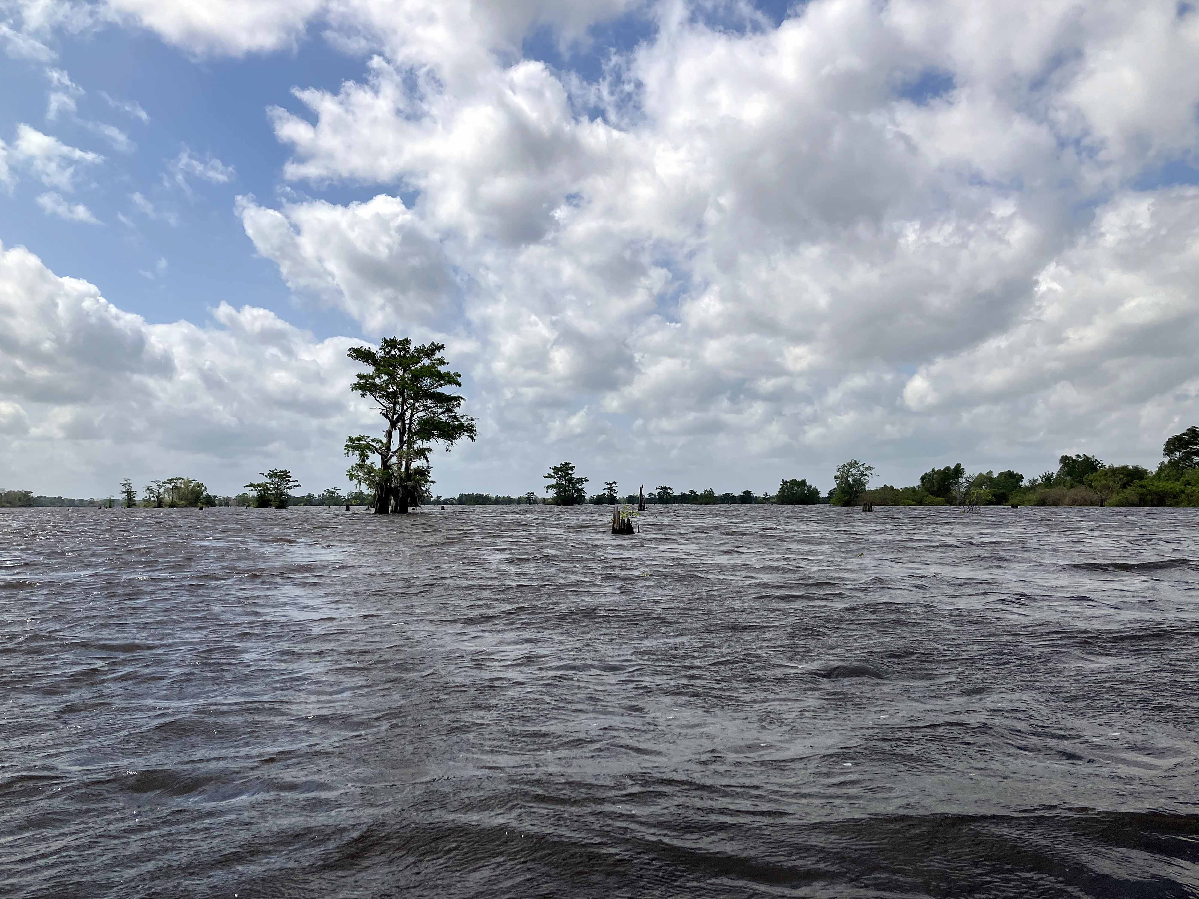
Above: Route went down the main lake, took a pic, back into swamp.
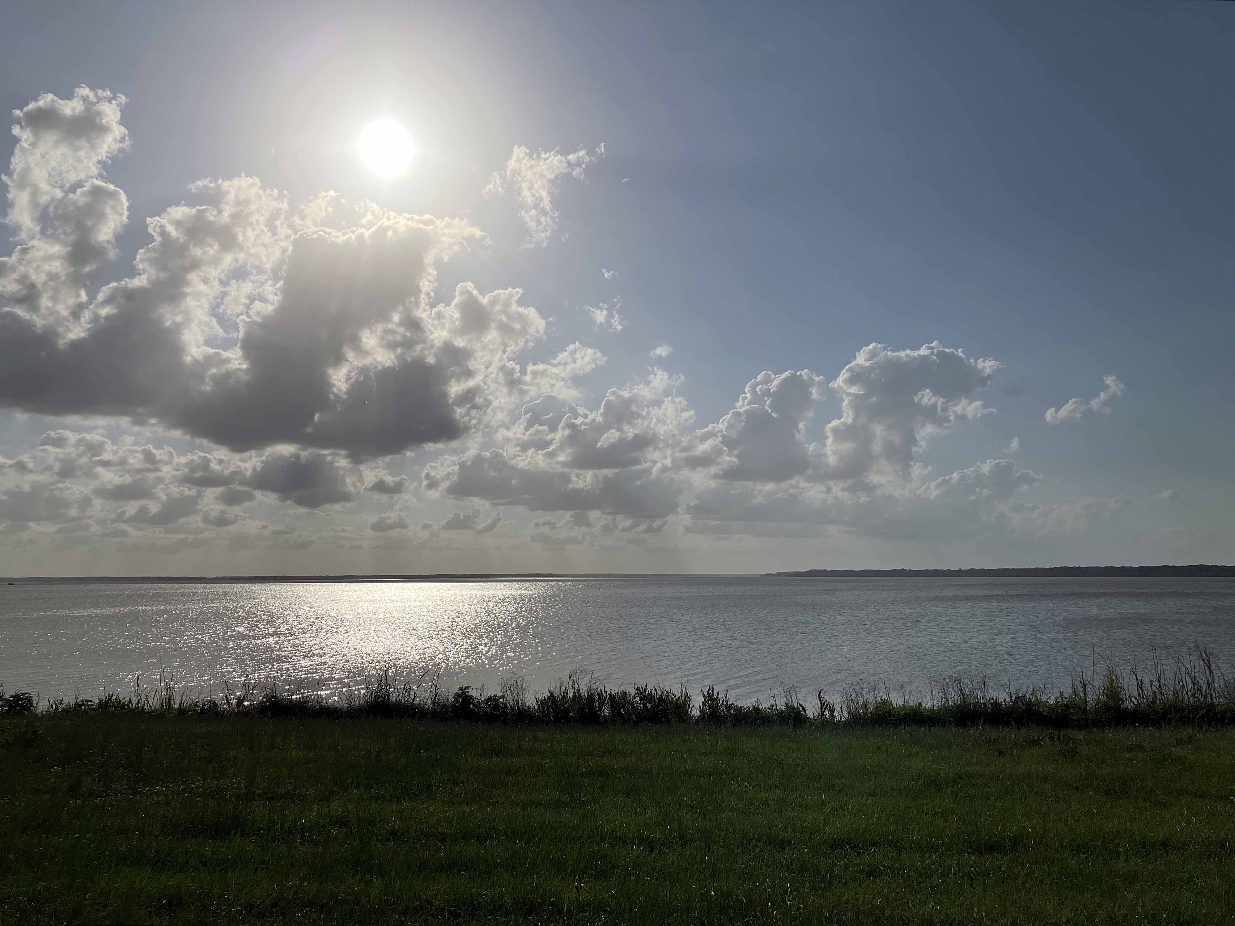
Above: Lake Fausse Pointe south of the State Park.
Above: Newly planted trees by the white stakes, nice to see, and an alligator watching.
