Kiamichi River, Rattan Landing, Oklahoma F
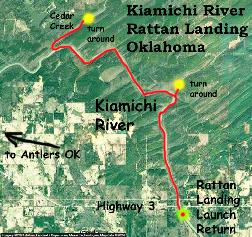
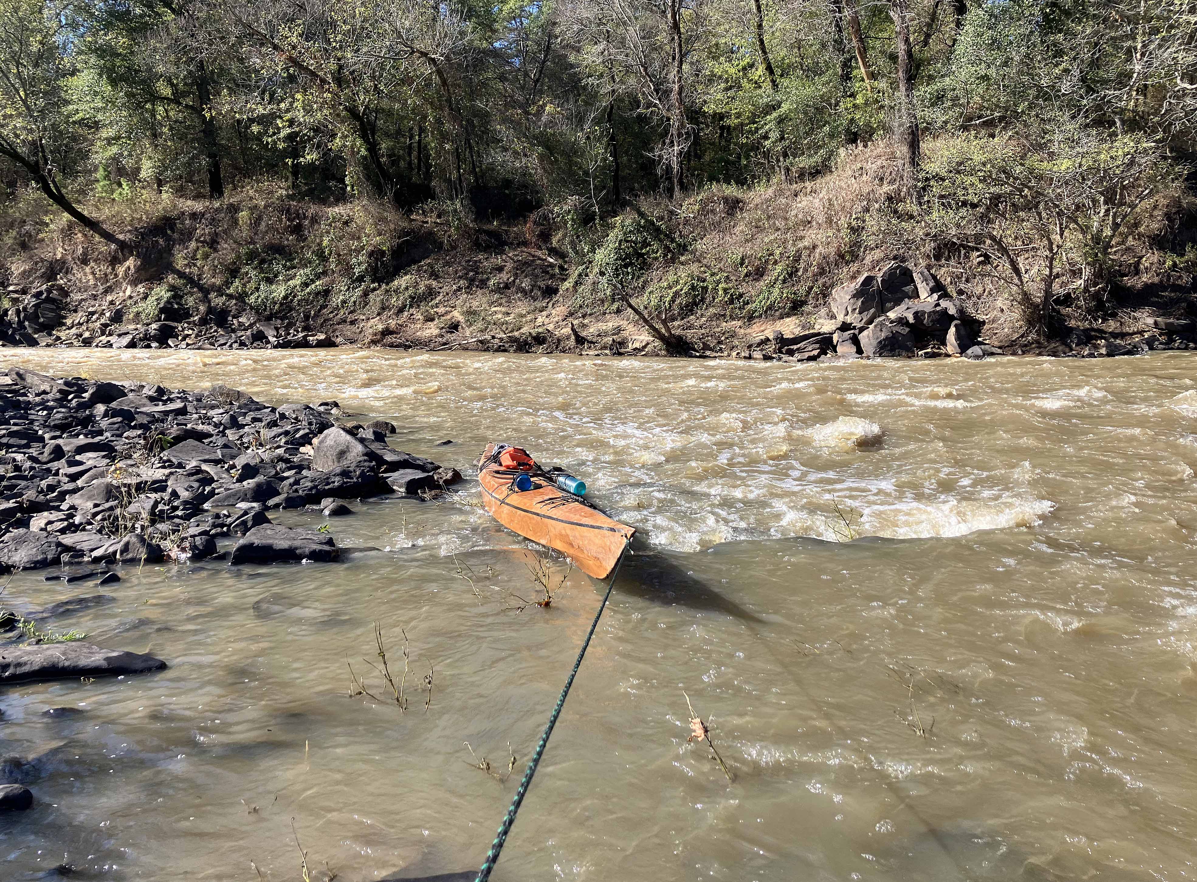
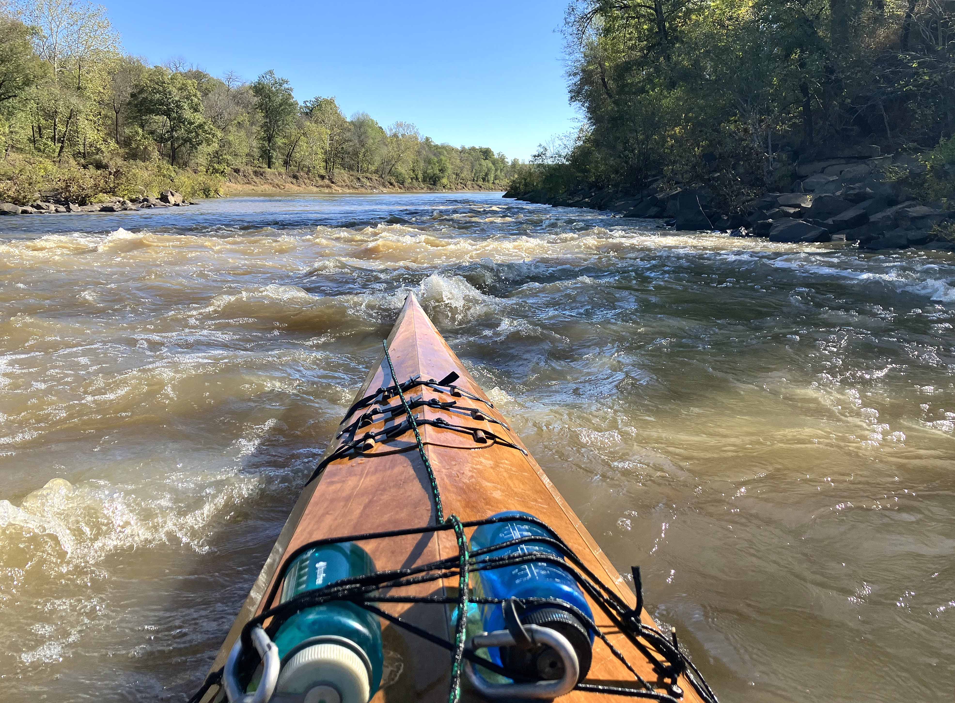
This kayak route map launches at Rattan Landing on Highway 3 just a few miles east of Antlers Oklahoma. From this launch you can go south into the Hugo WMA area and several posts describe routes in that direction. The trip here goes north from the launch up the Kiamichi River towards Antlers, OK. The turnaround point was at a jumble of rocks in Cedar Creek. I was surprised at the gradient in the Kiamichi, at least as compared to the southern direction out of Rattan. While mostly a wide flat river, there were some nice riffles here and there. Some of these could be paddled up, there was enough depth for the blade to bite, but there were another three or four where I had to pull the boat up through, as the pictures below show. Perhaps this varies with flow rate (this trip was ~750 cfs Kiamichi at Antlers), sometimes higher flow is easier. Navigating these spots made progress slower but the portages also added a bit more fun compared to a continuous flatwater paddle. And the day was perfect, cool and sunny, with a few otters chattering and playing in the river.
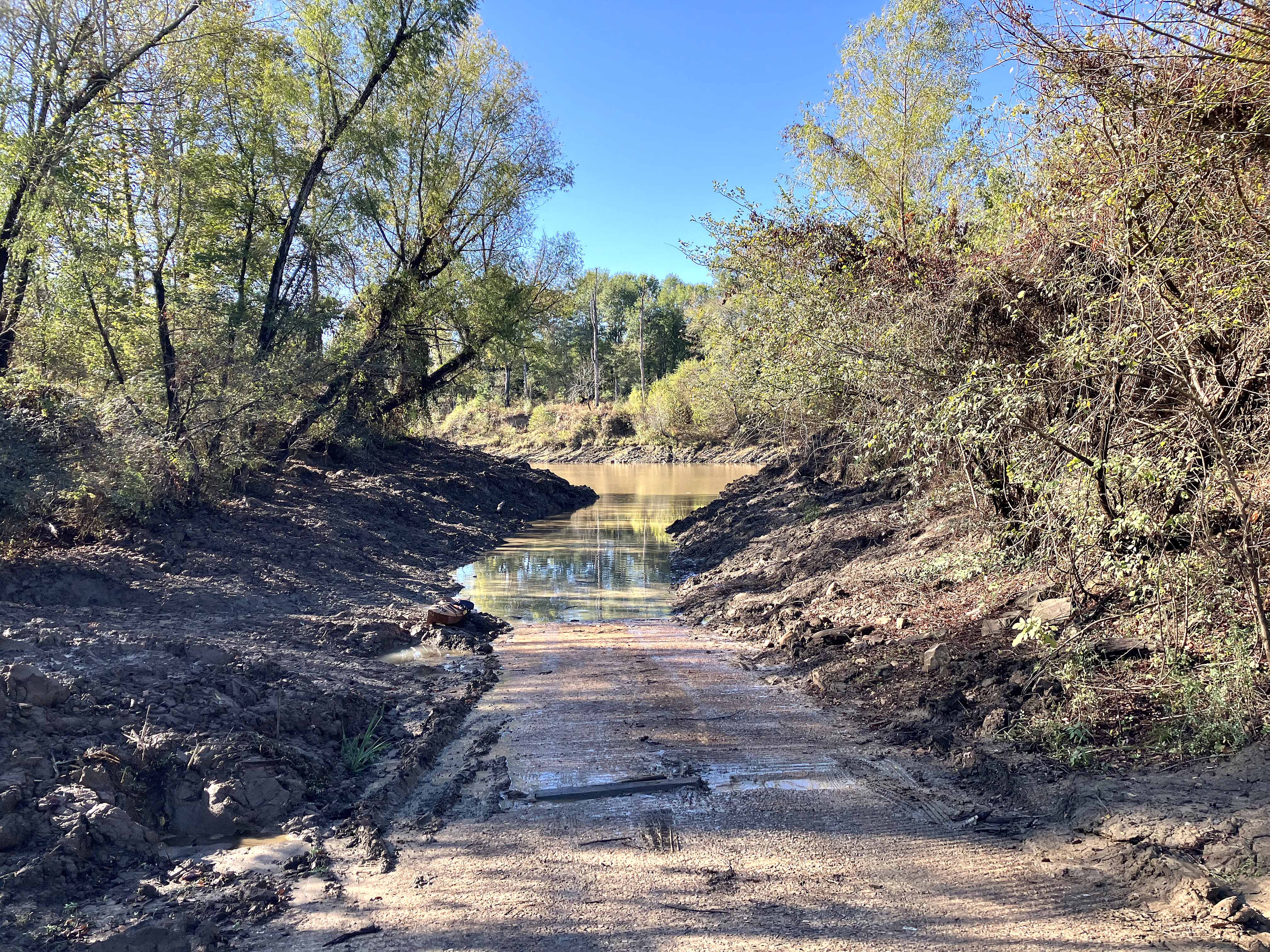
Above: The Rattan Landing launch had just been bulldozed and was wet and muddy.
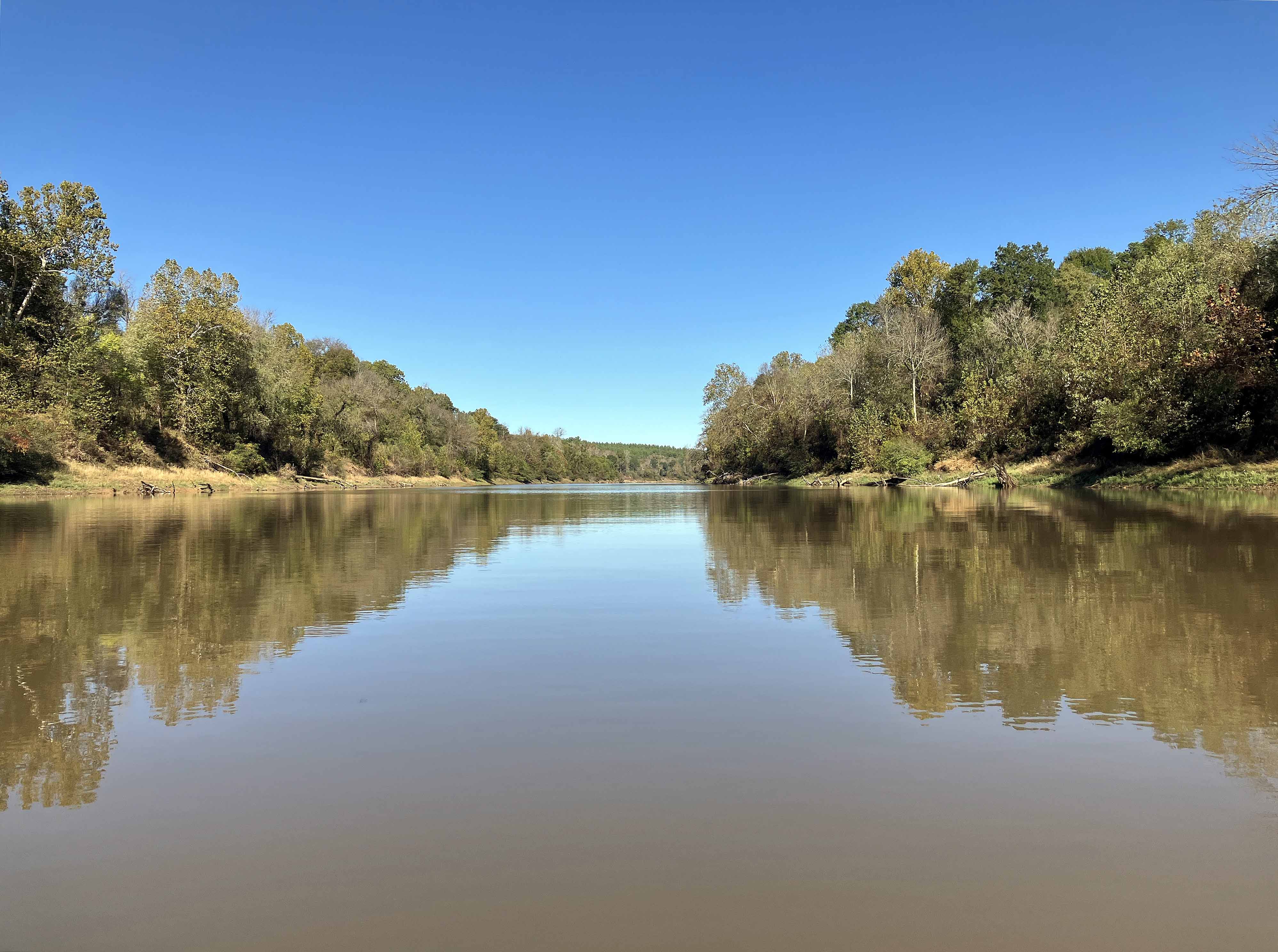
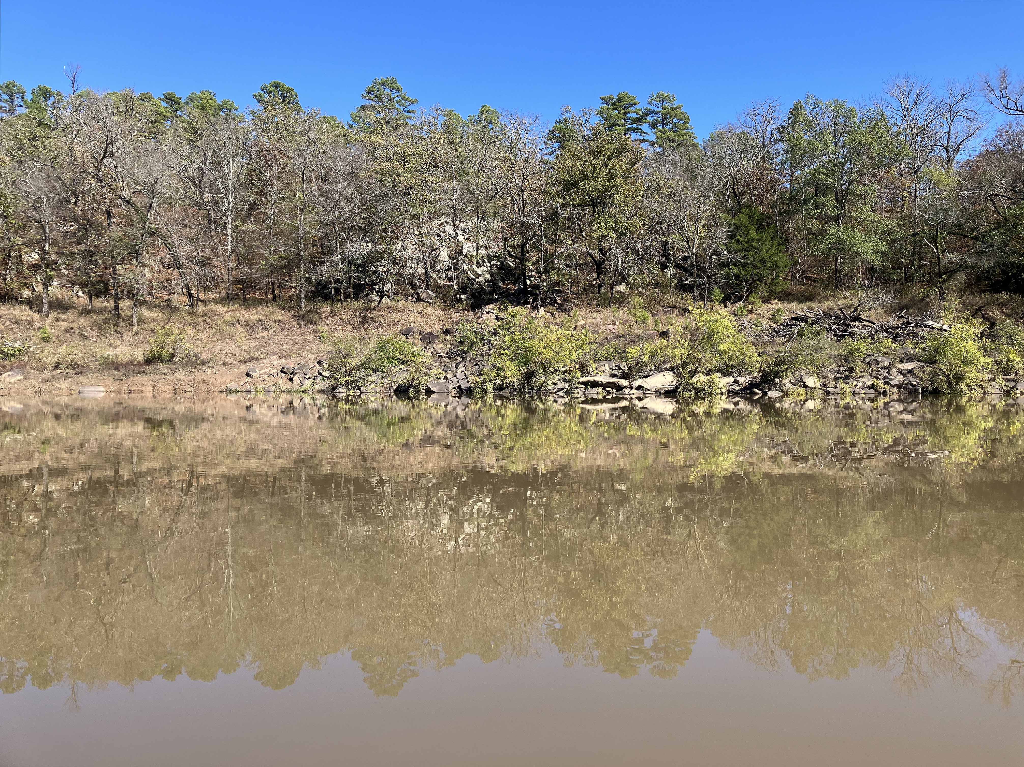
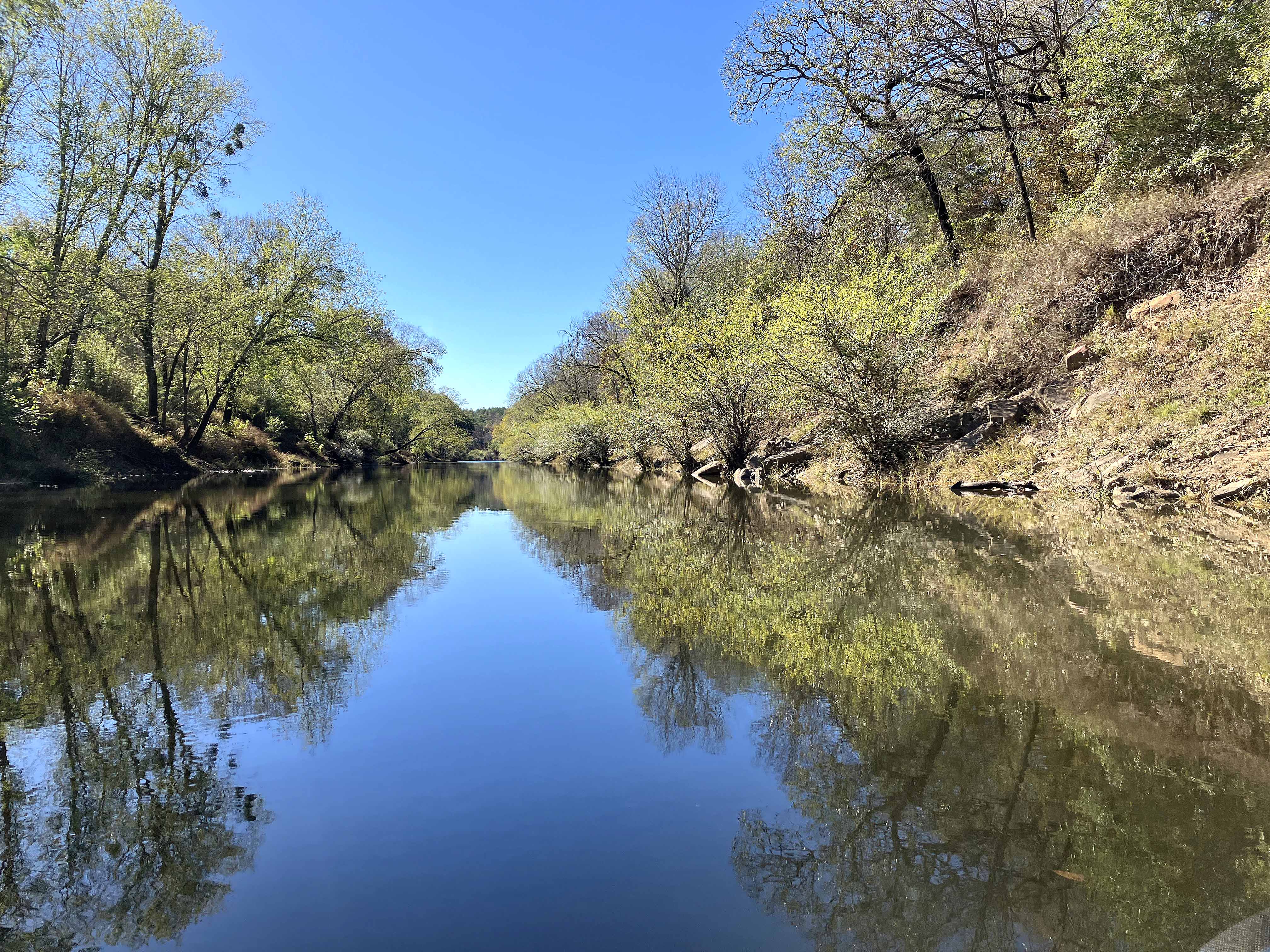
Above: Typical look on the Kiamichi River
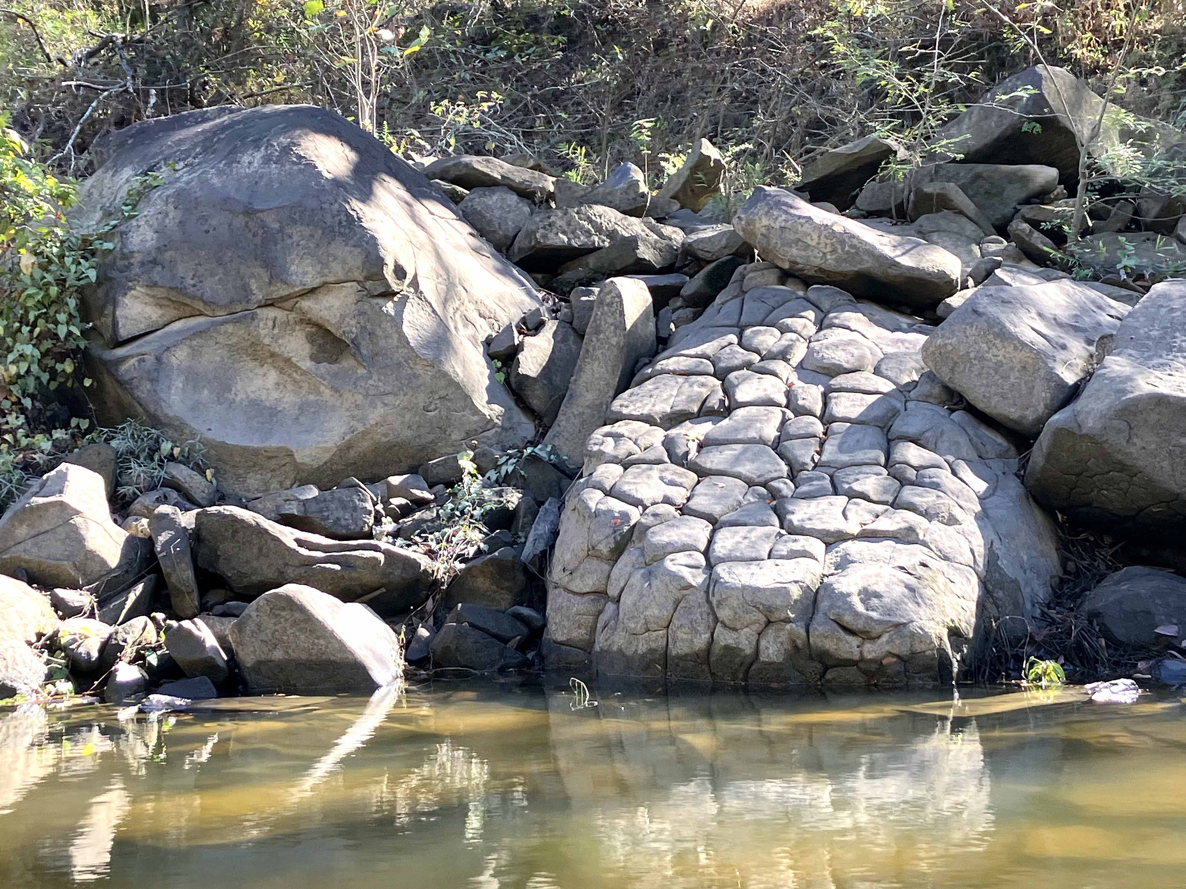
Above: A boulder disintegrating, slowly, into smaller rocks.
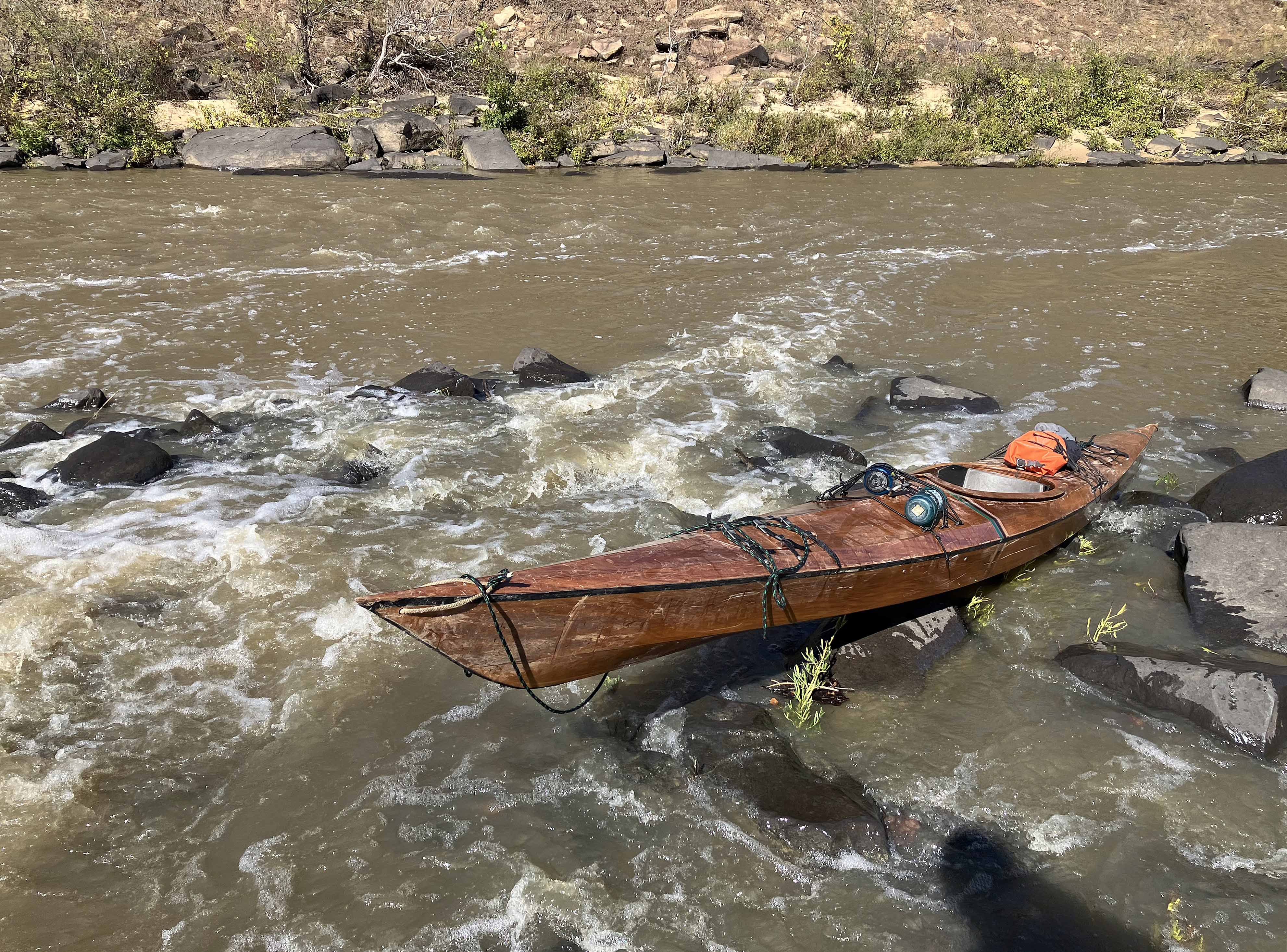
Above: John Wesley Powell lite.
Above: The footing is uncertain and the rocks are hard. Tread carefully.
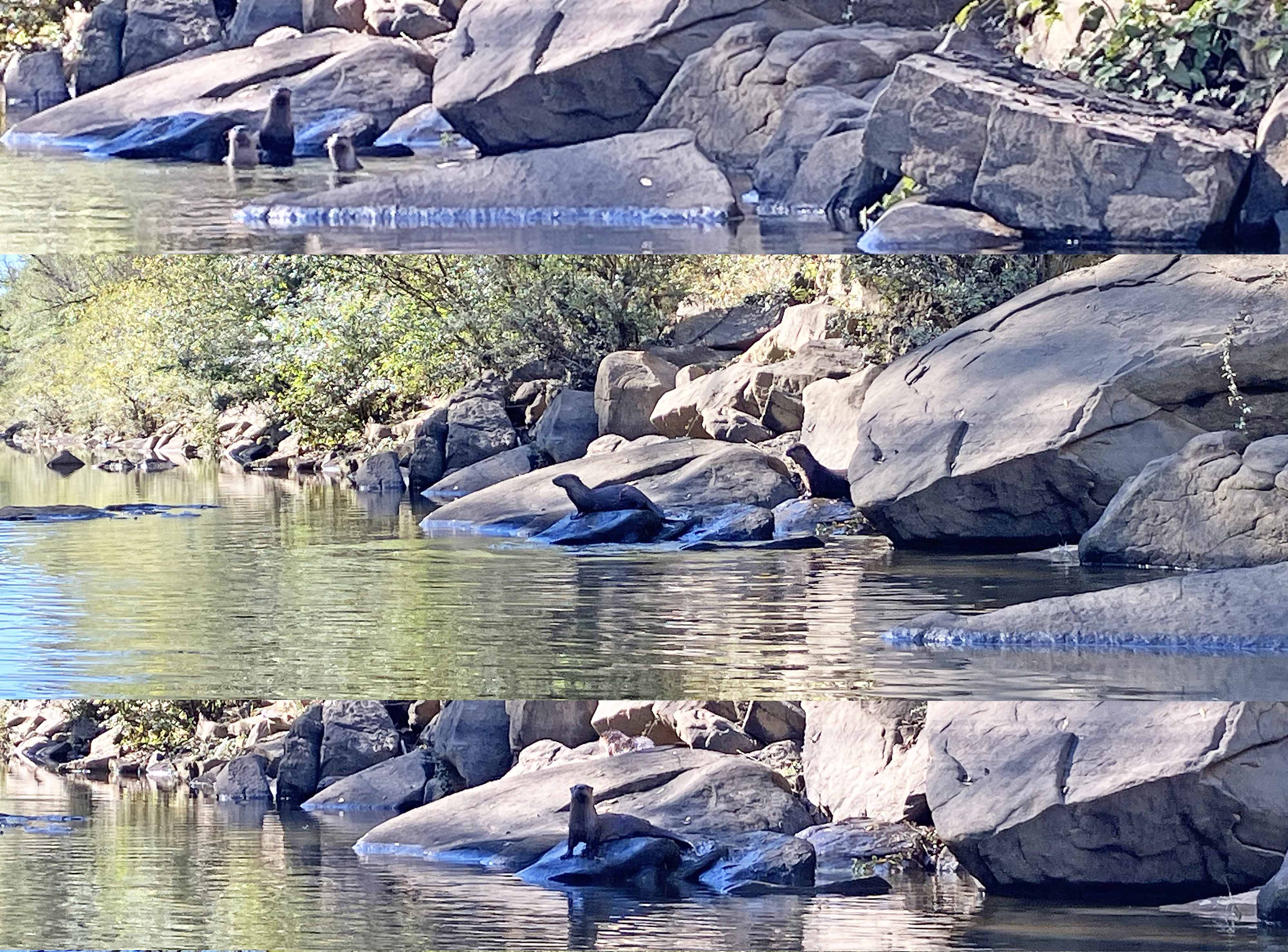
Above: Find the otters!
Above: Yeah, more fun going downstream.