Mercer Bayou, Sulphur River WMA, Texarkana Arkansas B
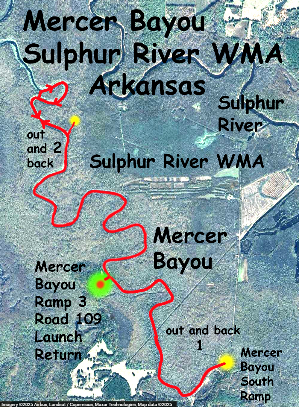
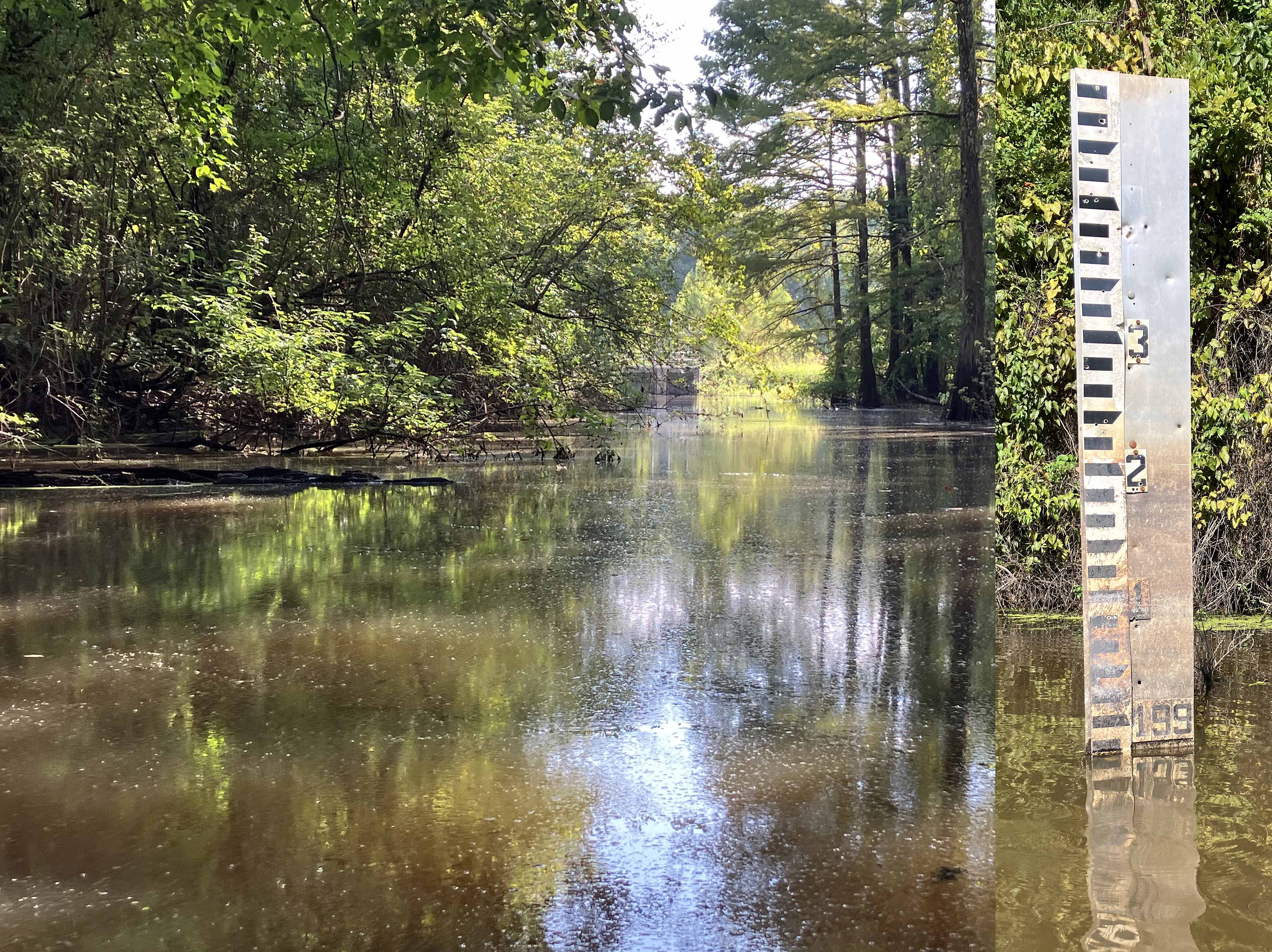
Kayak paddle route trail map on the Mercer Bayou located in the Sulphur River WMA south of Texarkana, Arkansas. This area is included in the Arkansas Game and Fish Commission Water Trails program. This trip was my second one here, and it launched at the end of a small county road 109, a spot called Mercer Bayou Boat Ramp No. 3. The trip has an out and back leg to the south and an out and back leg to the north. At the southern end there is another boat launch but further progress is blocked by an earthen barrier and closed water gate. The southern leg was swampy paddling through duckweed and watermeal and, in early afternoon, almost completely silent, spooky, like it might have been 100 years ago, or so I imagine. I think it’s the watermeal that gives the gritty feeling on your hands when you paddle. The northern leg entered wider, more open areas of the bayou with lots of lily pads and lotus. An Arkansas Game and Fish guy I talked to said he recently had the bayou treated in order kill off the Cuban bulrush growing along much of the shoreline. Saw nobody the whole trip.

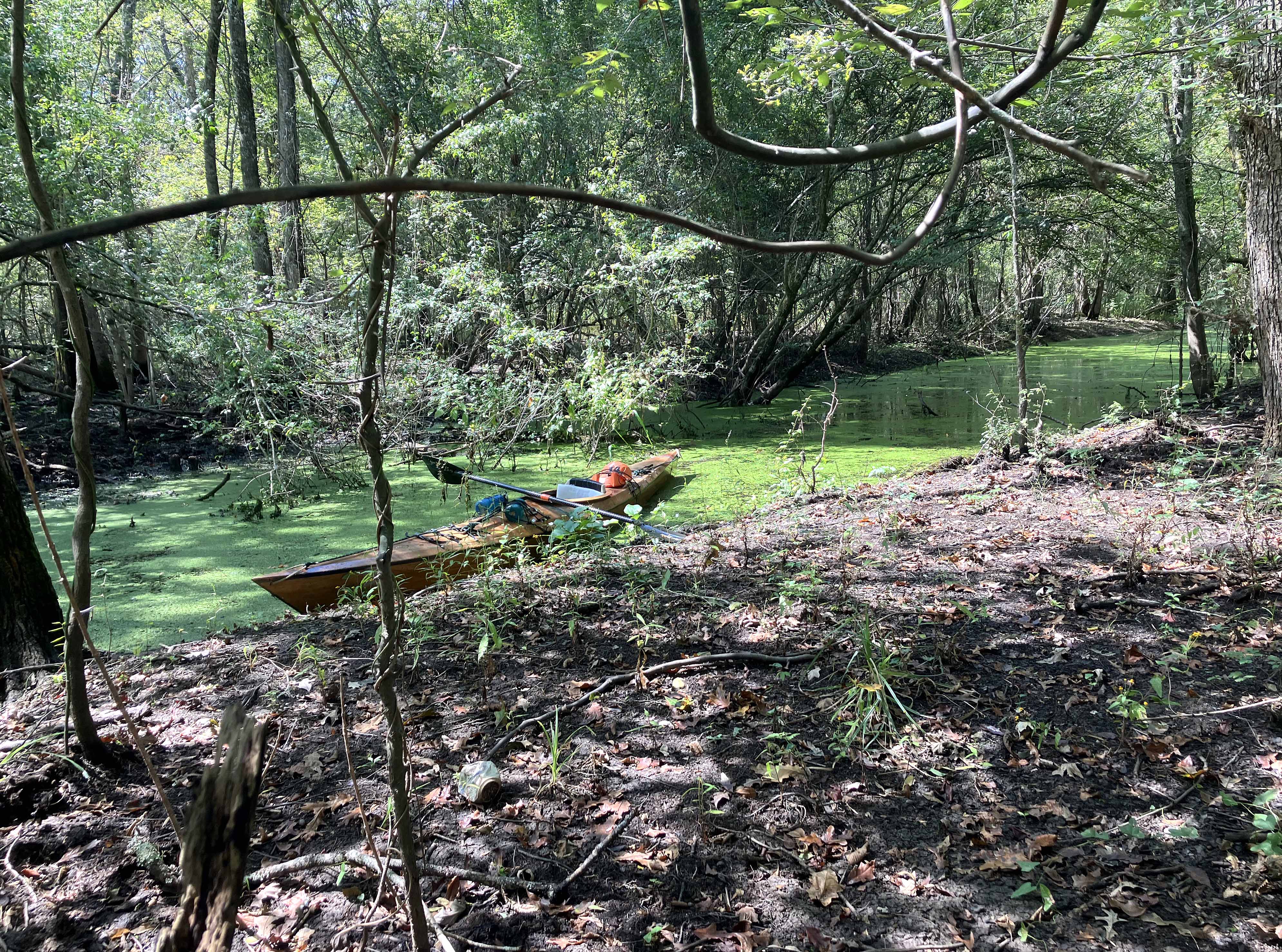
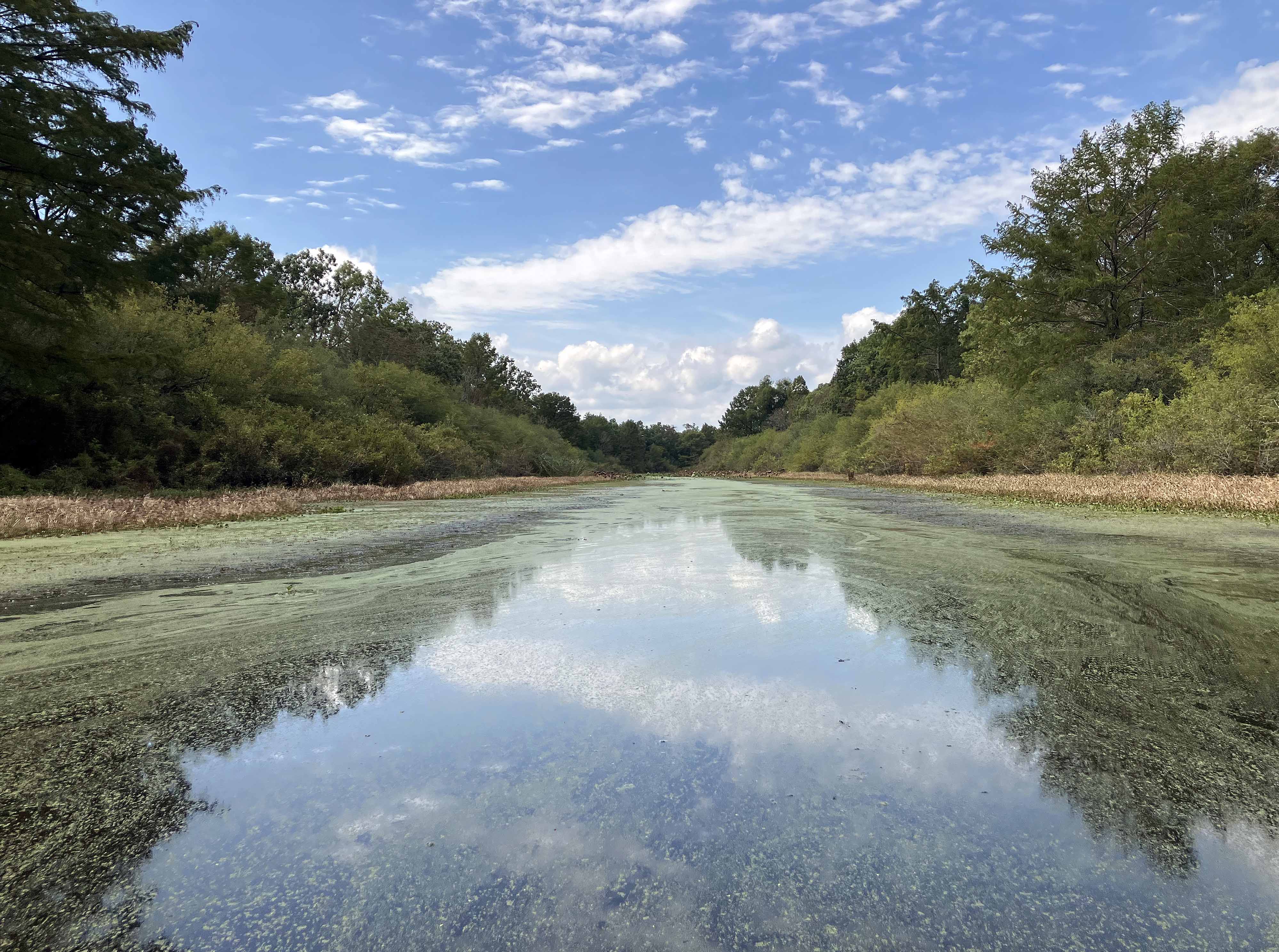
Above: View of the swamp near the launch.
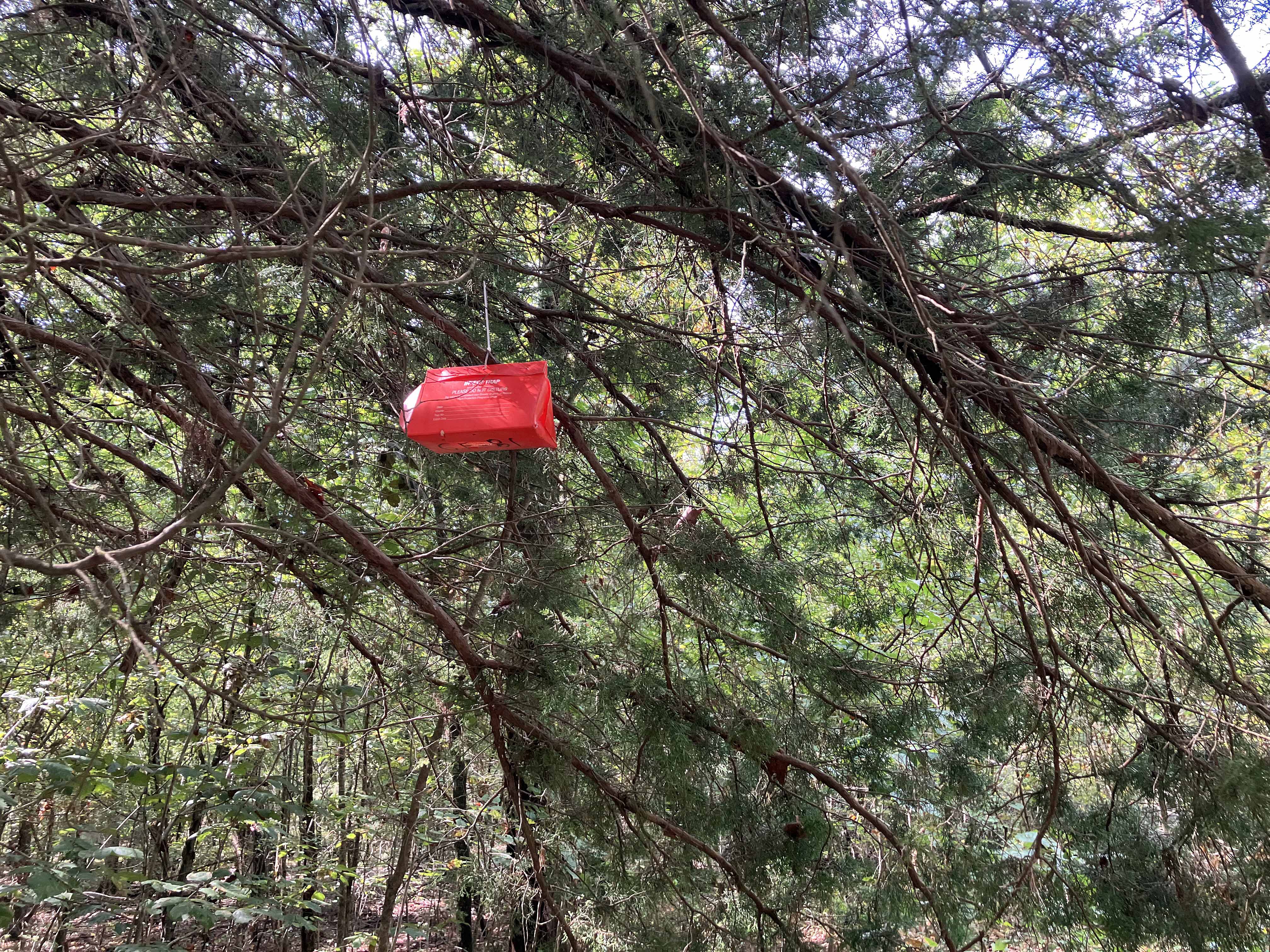
Above: Hadn’t seen one before, it’s an insect trap for a research study.
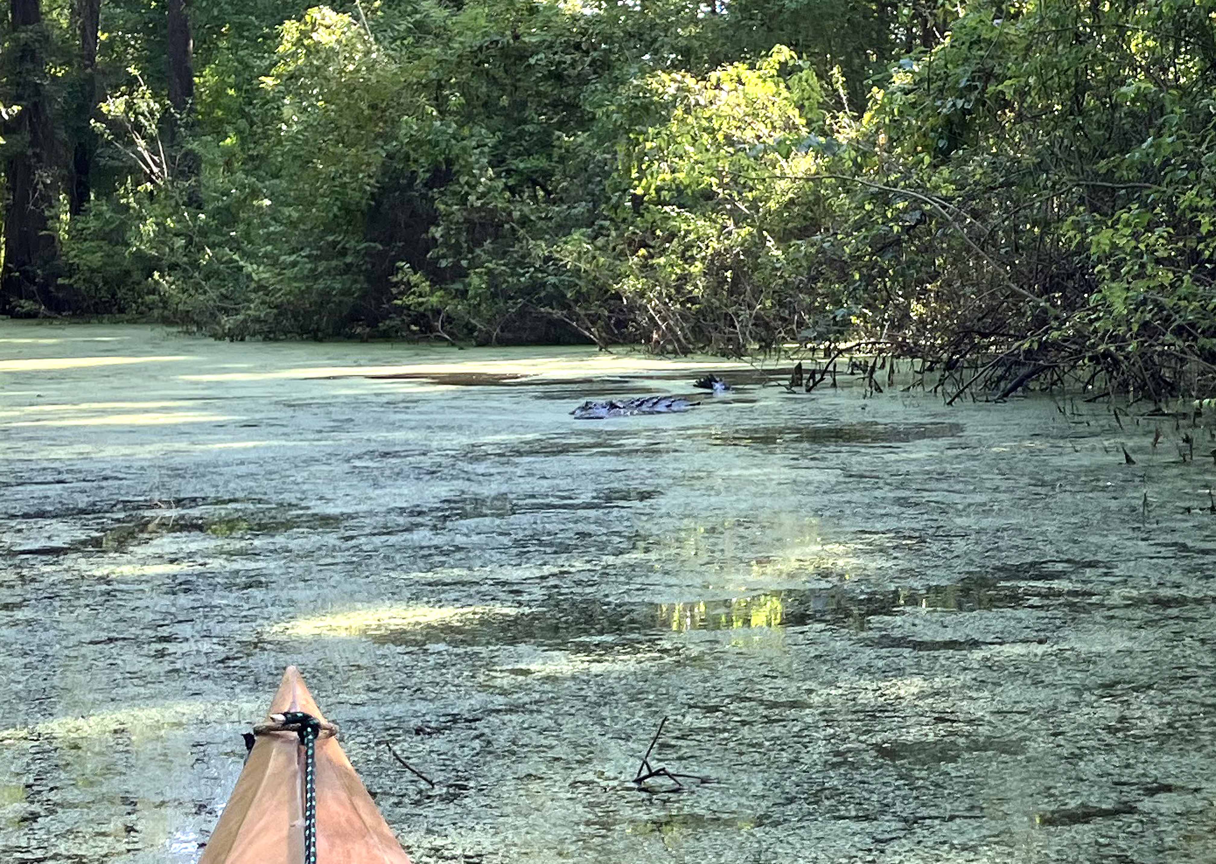
Above. Expand the picture to find the alligator. The alligators here seem particularly stout.
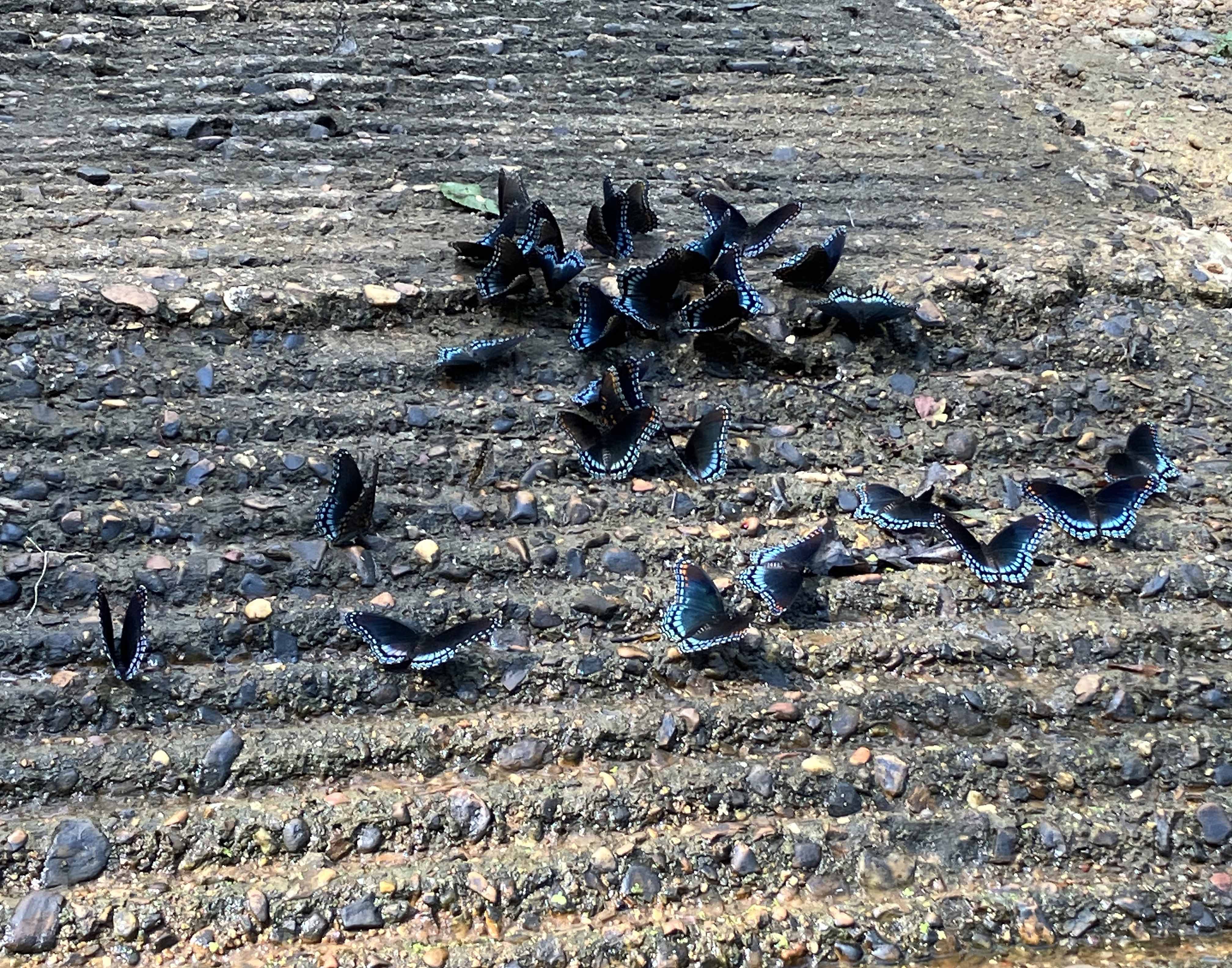
Above: The Diana Fritillary, state butterfly of Arkansas.
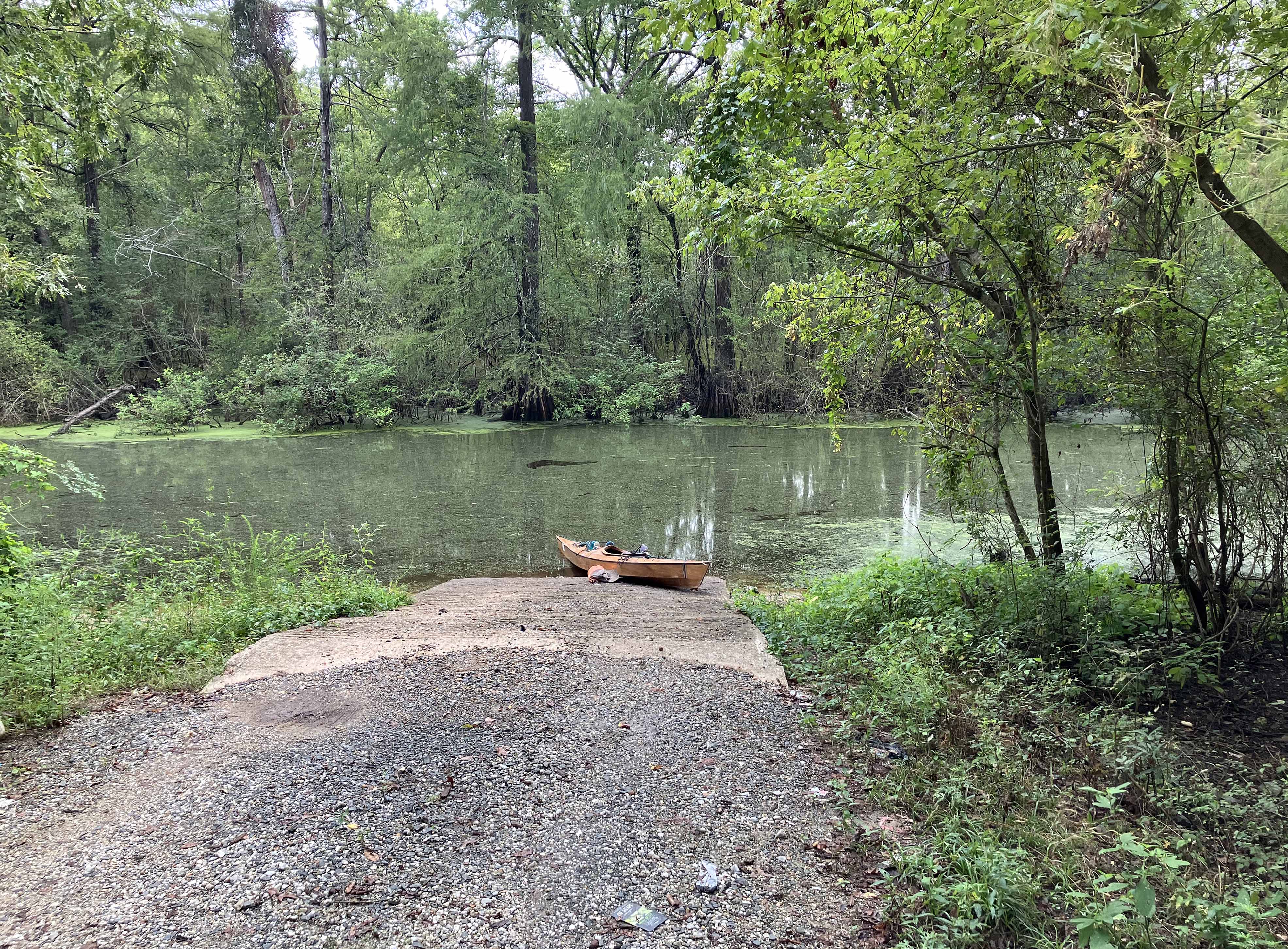
Above: Mercer Bayou Boat Ramp 3.
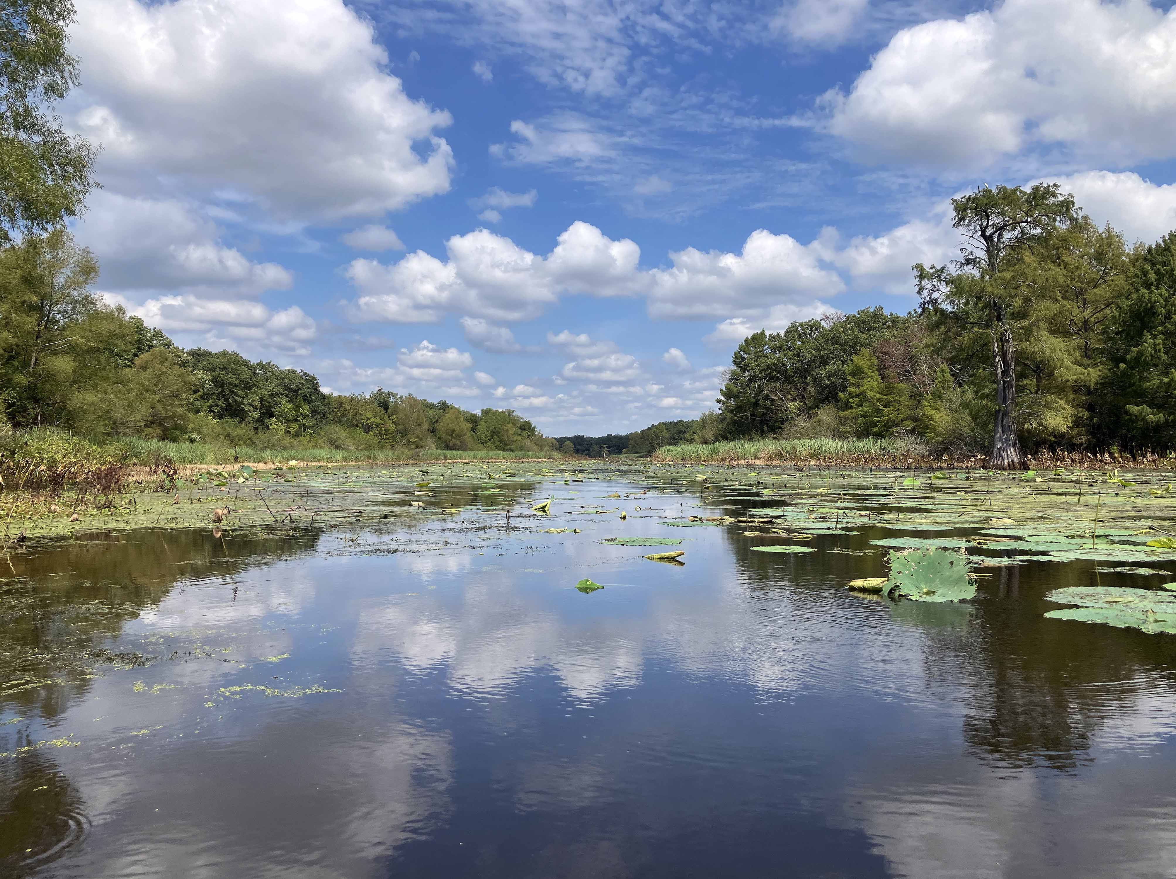
Above: Here the bayou is open and very wide. The brown vegetation on the sides is dead Cuban Bull Rush bulrush.