Neches River, CR 1155 CR 2829 Launch, up
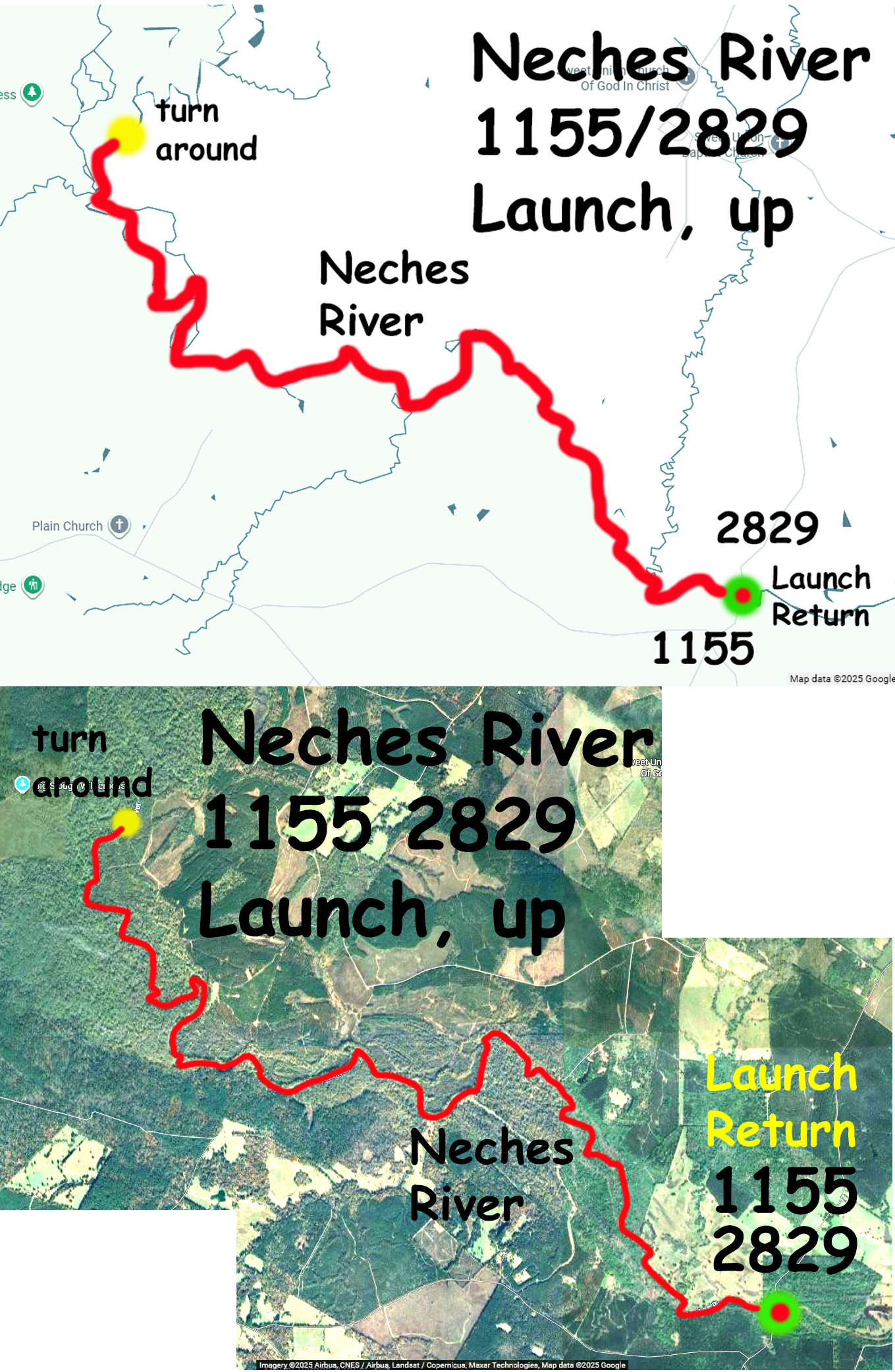
Kayak paddle route trail map on the Neches River starting at the CR 1155, CR2829 put-in. This route starts at an out of the way launch in the Davy Crockett National Forest. It is actually the put-in for the ‘downstream to Highway 7’ Crockett Trail. But the route here goes upstream about 10 miles to an ‘I’m done’ turnaround point and returns to the launch. Took approximately three hours up and two hours back, more or less, with the Neches at Hwy 294 gage reading 320 cfs and the Neches at Hwy 7 gage reading 460 cfs. A bit of current so easier coming back. The forest adjacent to the river in this section tended to be deciduous/hardwoods, less densely packed, even some cleared fields, with fewer sections closed in by tall east Texas pines. The river is the eastern boundary of the Davy Crockett National Forest, although some of this may be private inholdings–there were a few houses along the river and one or two private launches. Upstream of the put-in the river is fairly wide and no portages were necessary, but towards the turnaround point where the river is oriented north-south the geography changes. There you can see by google maps that the river wanders and takes some side channels and in that area the main course narrows and things get a bit more brushy, although still not too bad. Overall nice winter paddle, super bright day.
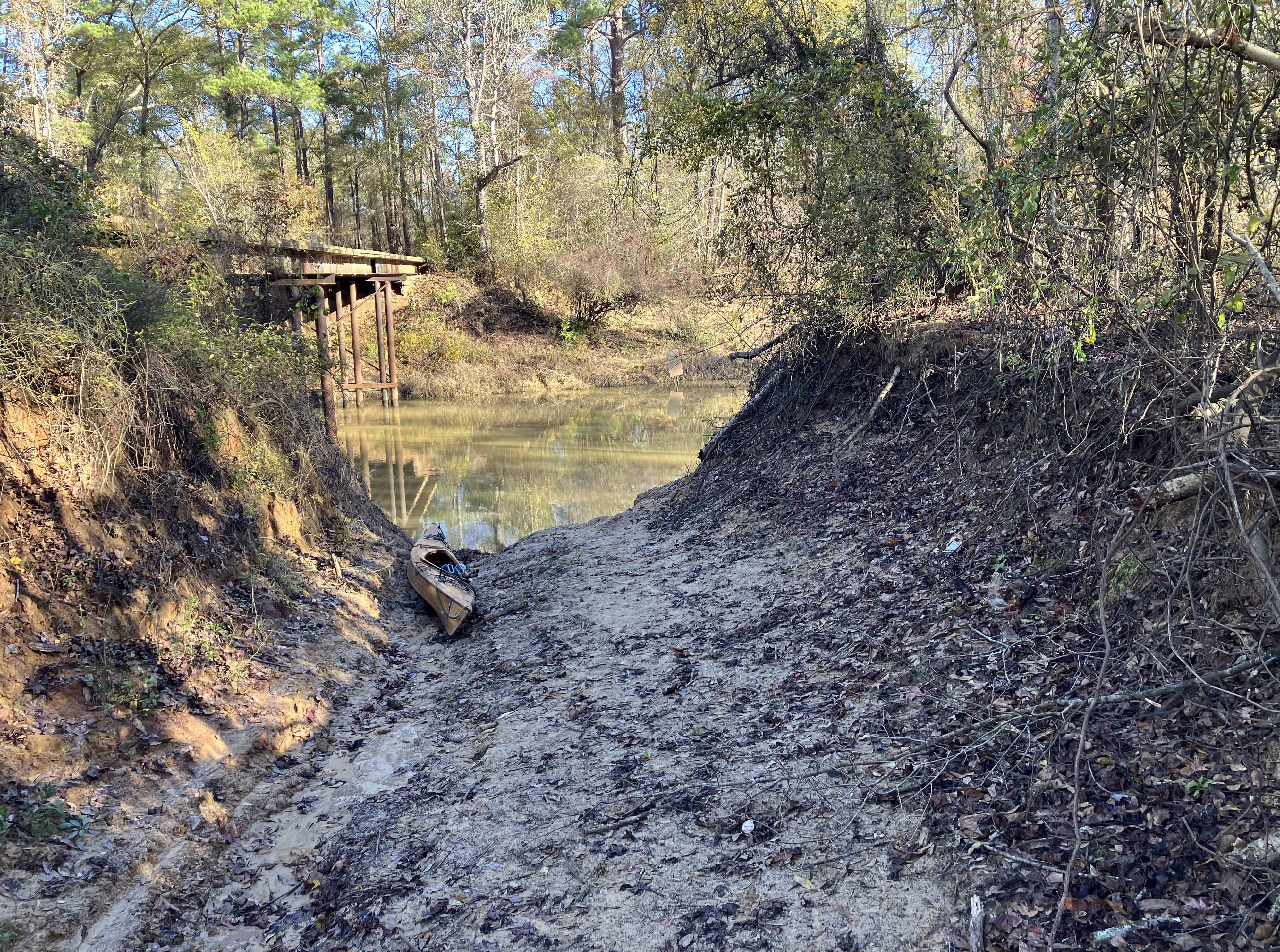
Above: The launch at the CR 1155 CR 2829 bridge, a muddy cut down to the water.
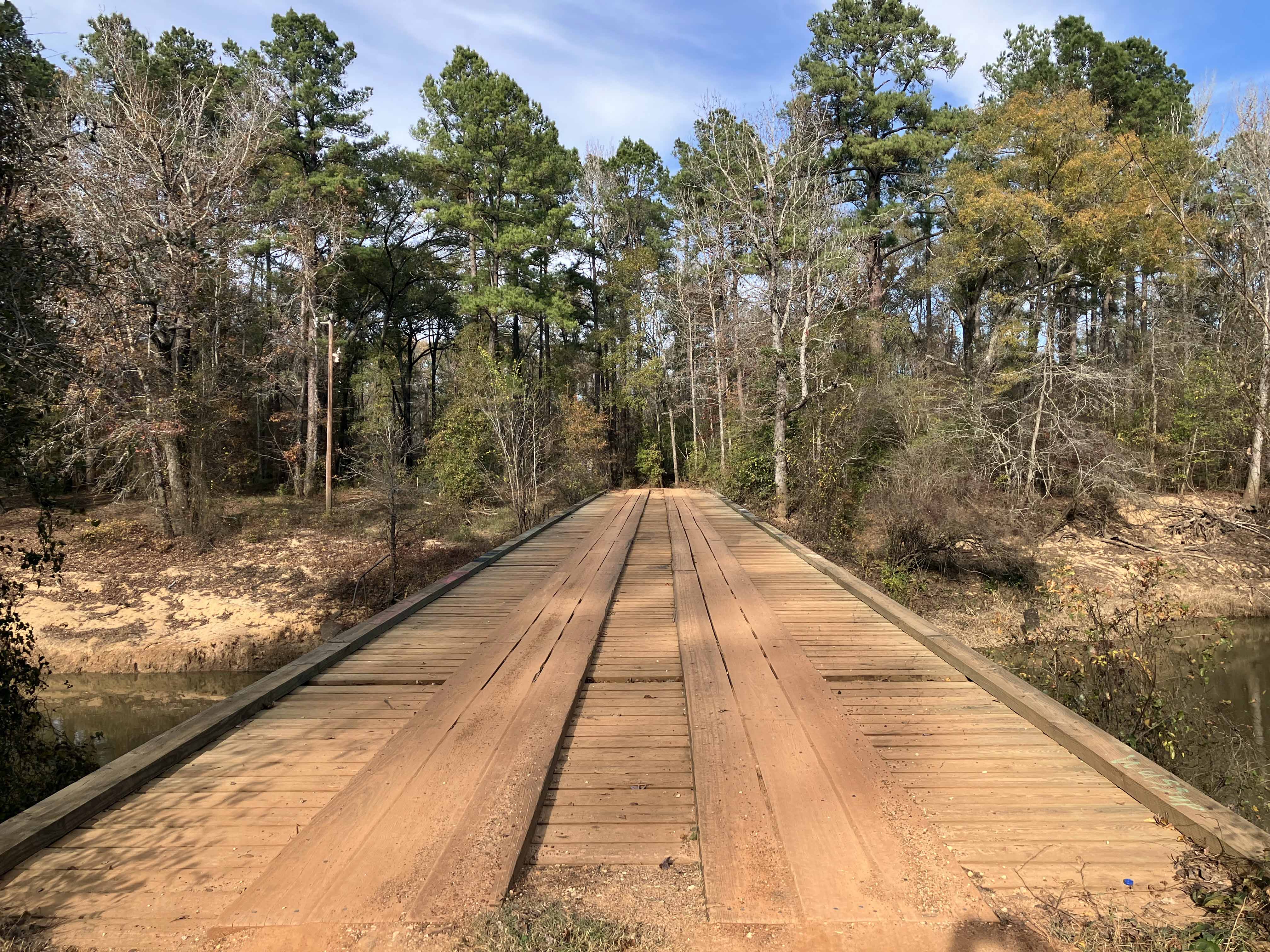
Above: And here is the bridge itself, with wood planks, very nice.
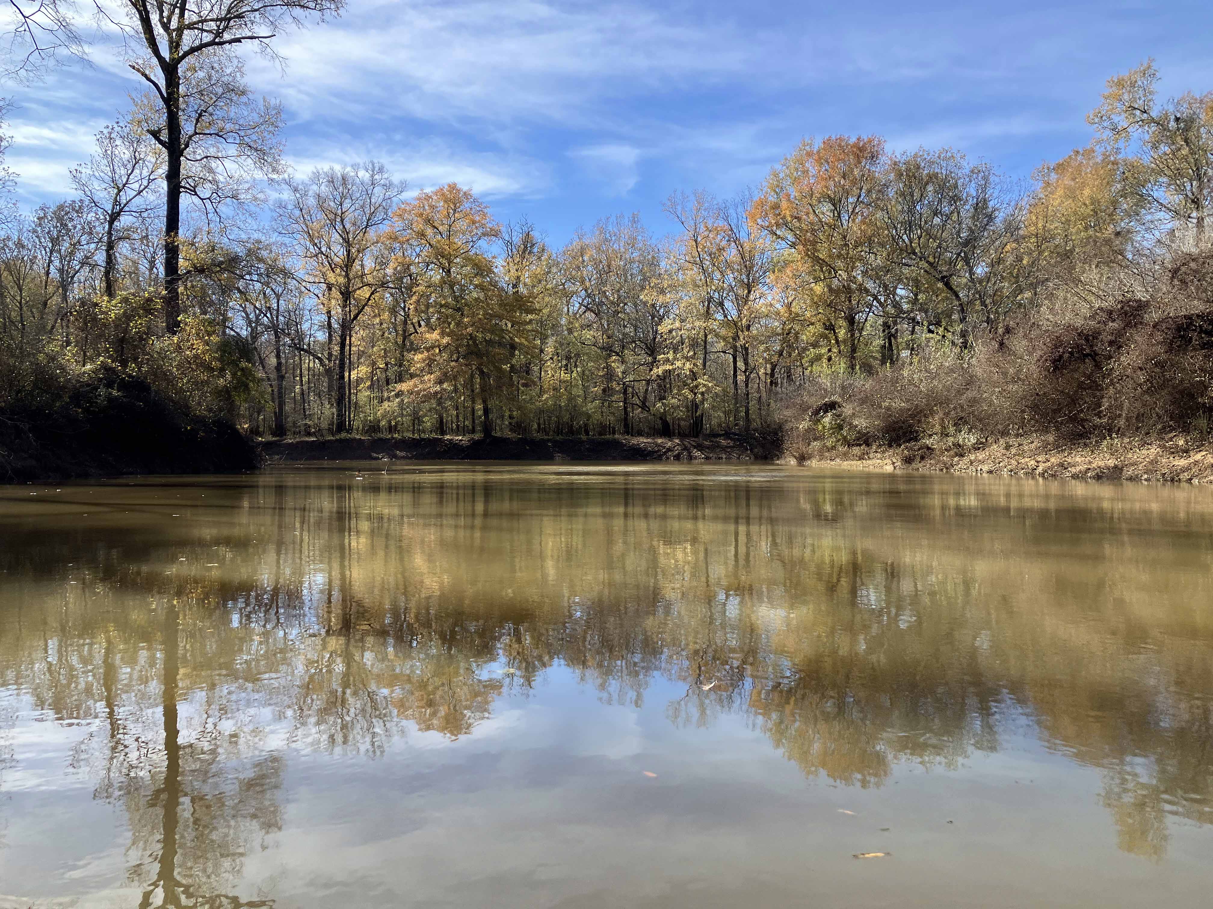
Above: Beautiful day for a paddle.
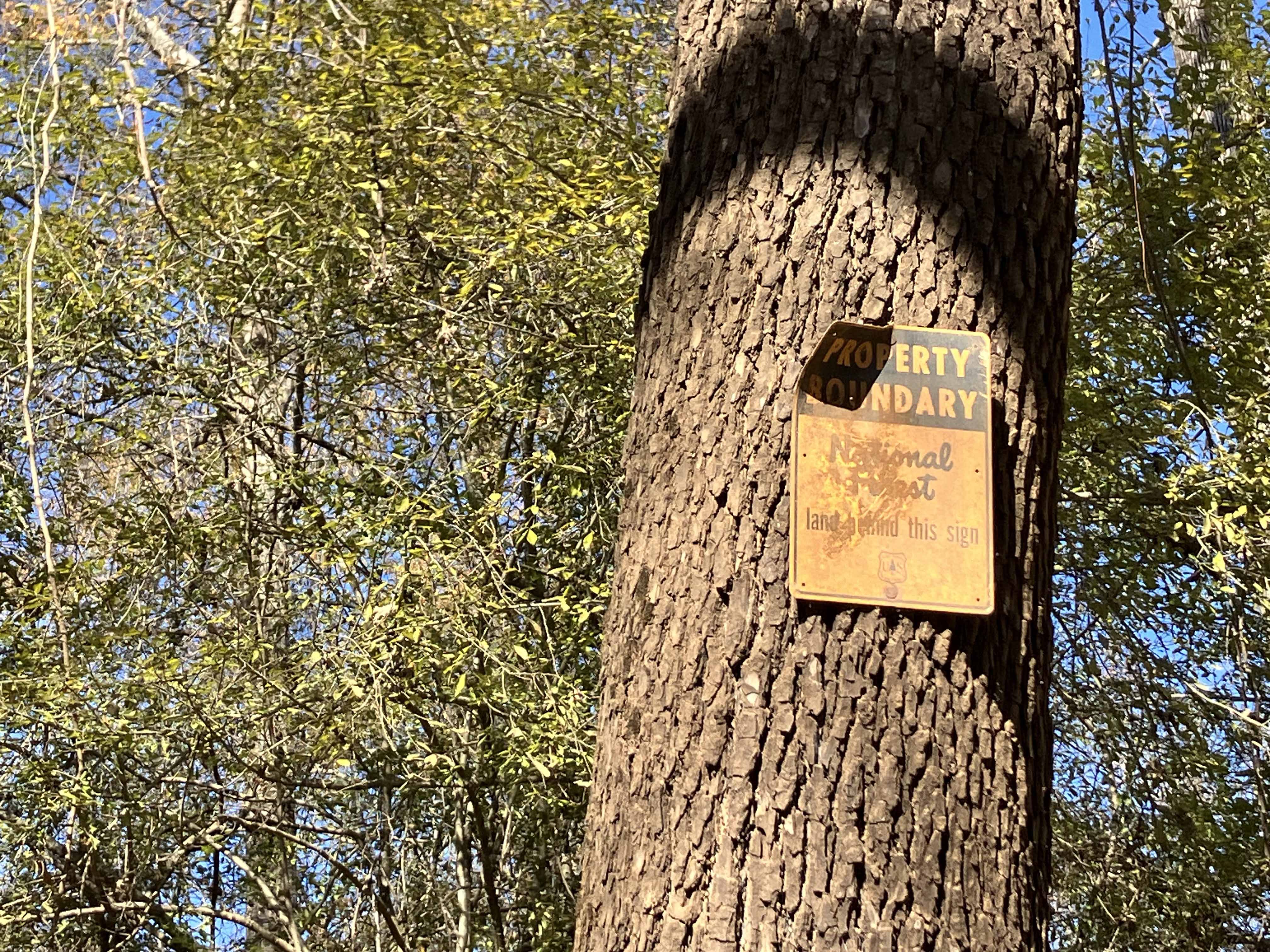
Above: Boundary sign for Davy Crockett National Forest.
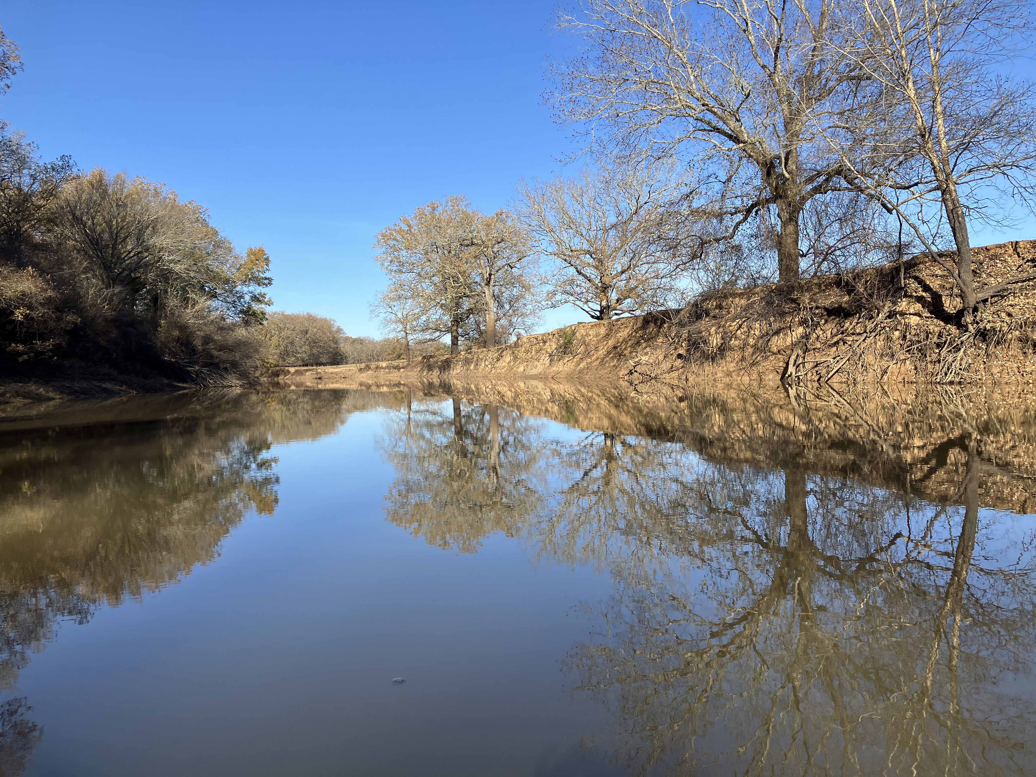
Above: Some stretches were open, cleared areas rather than forest.
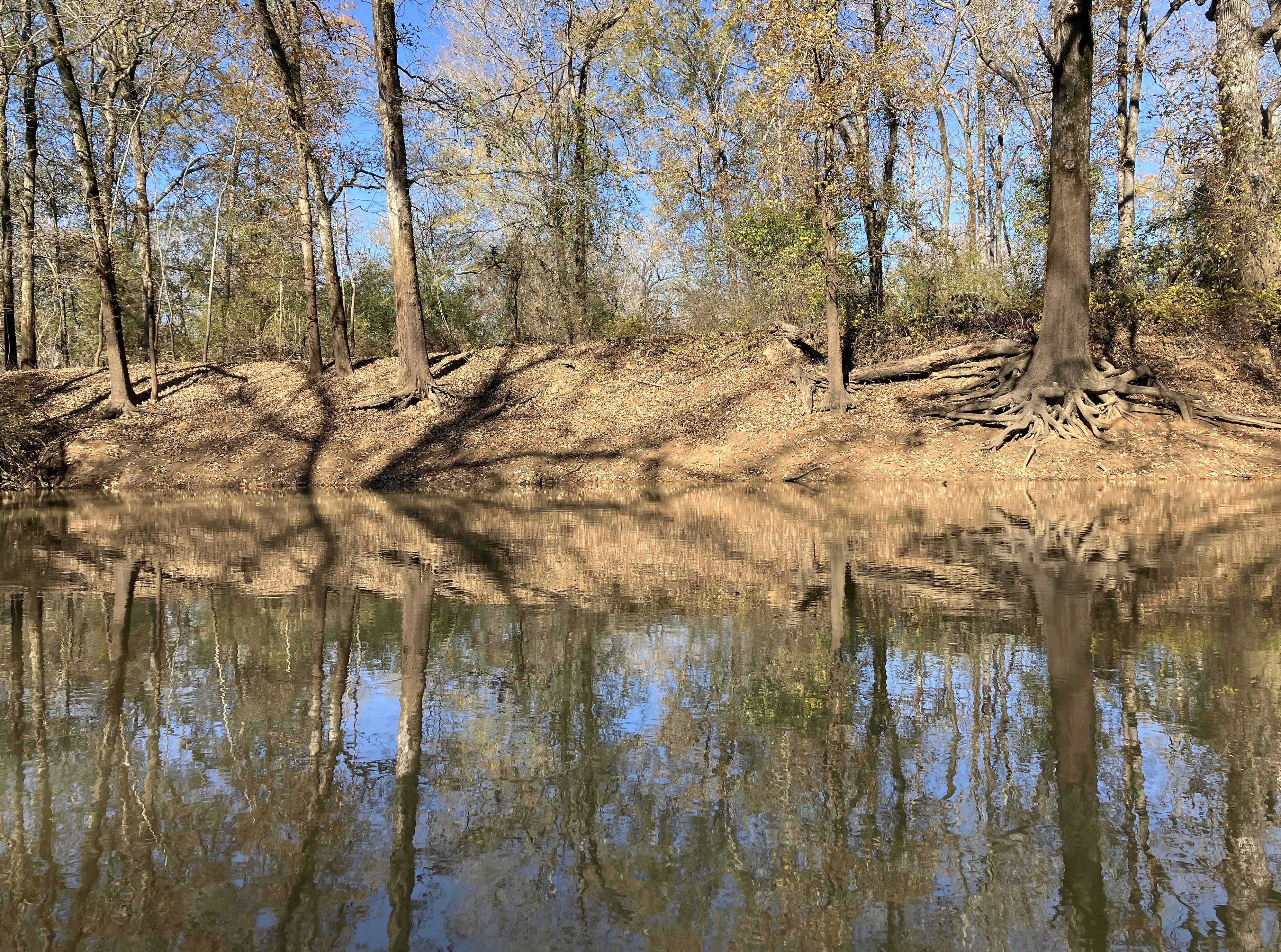
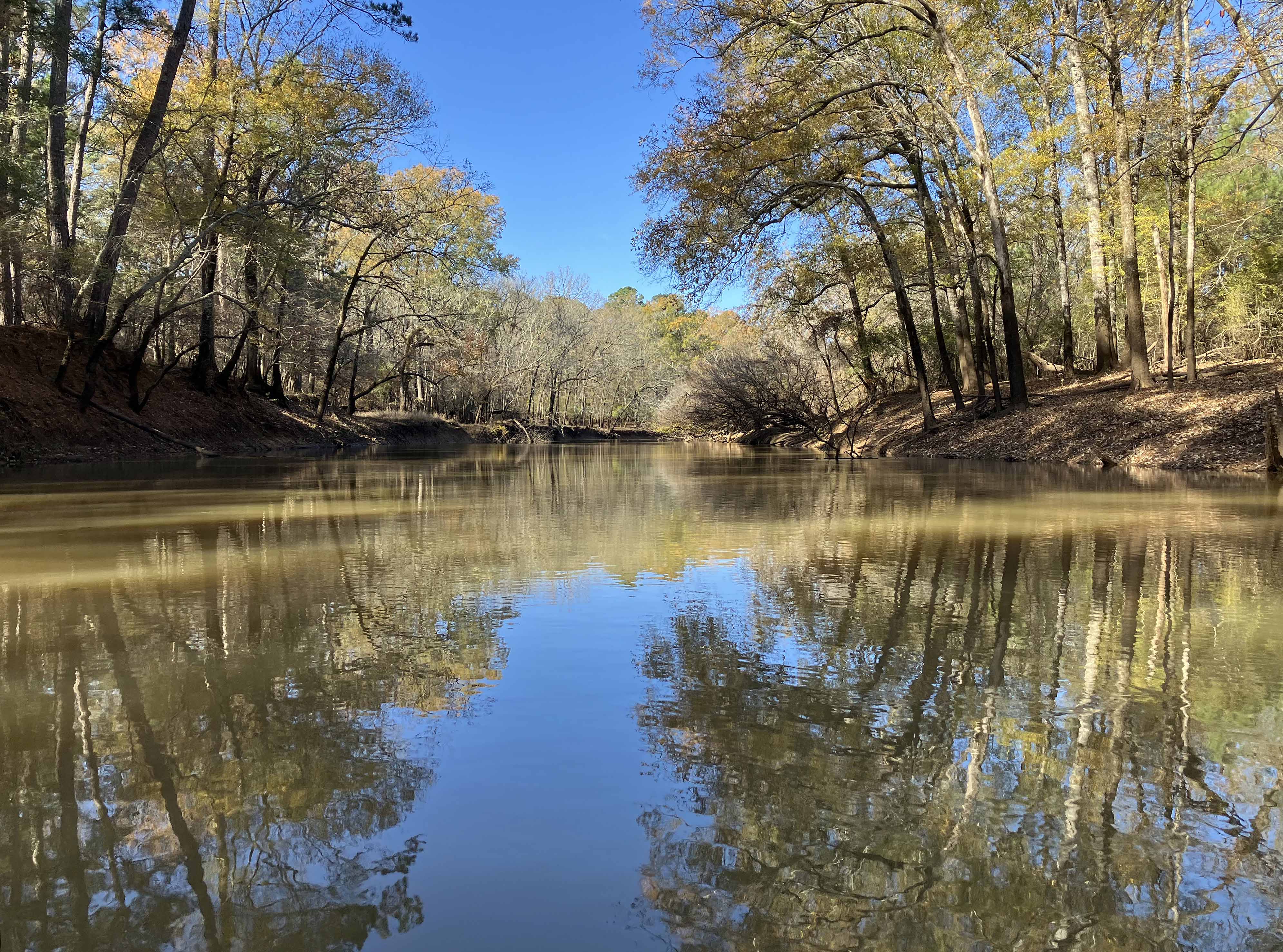
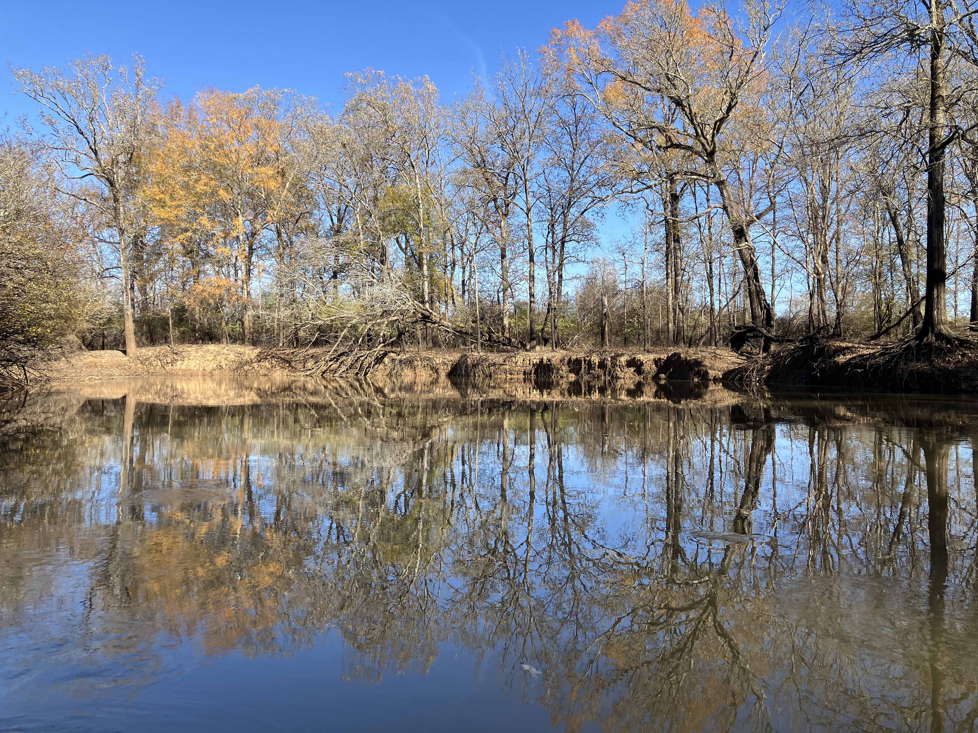
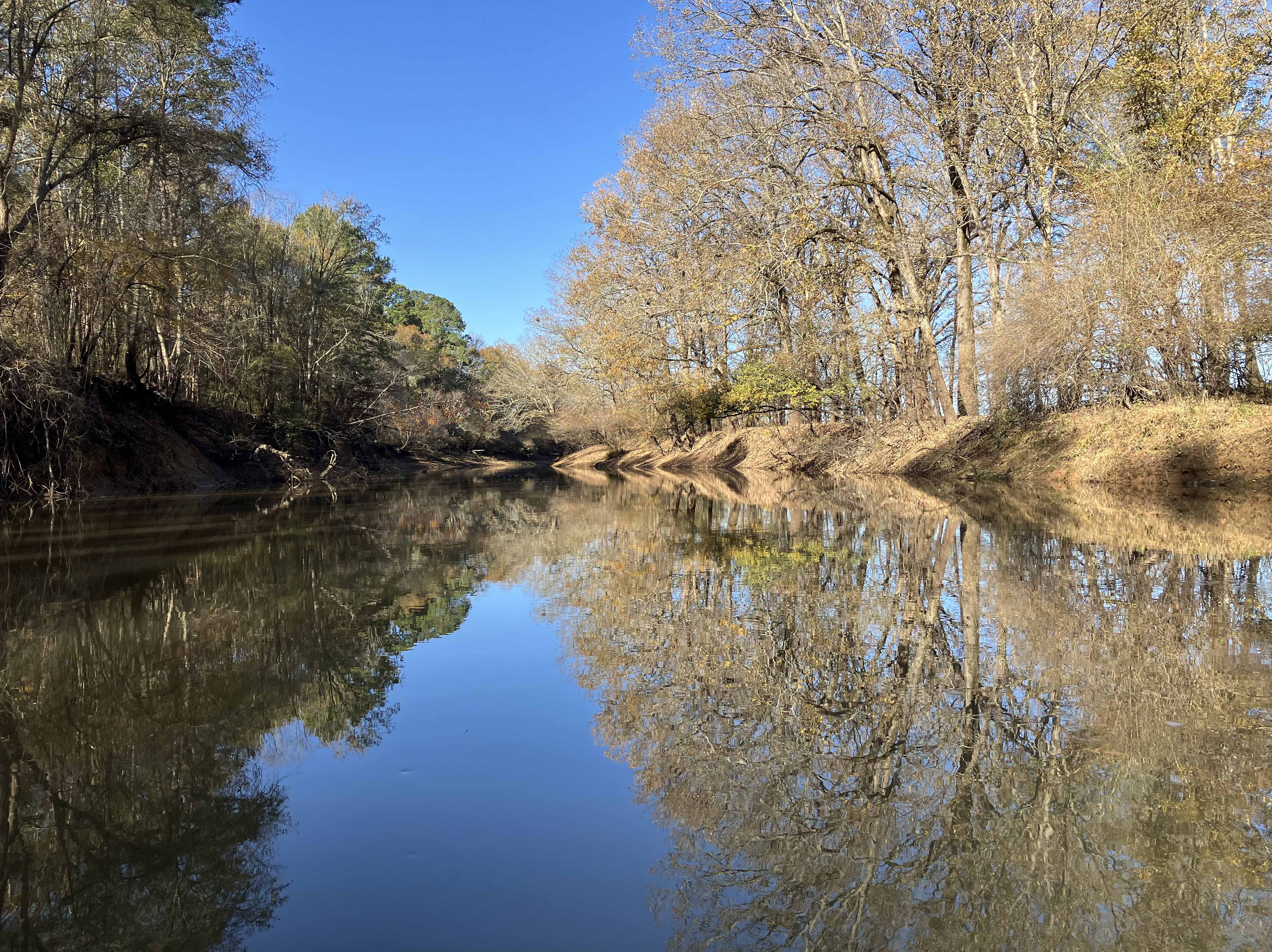
Above: Forests and reflections along the Neches River.
