Neches River, Highway 21 Launch, going up
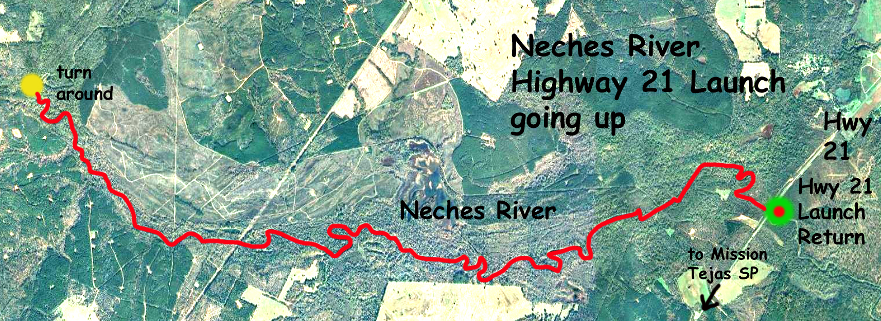
Kayak trail route map on the Neches River, starting at Highway 21 and going upstream for an out and back. Winter day, cold in the morning but sunny and mild later in the day. The river here is wide enough so that no logjams had to be portaged, and the scenery is classic Neches. The flow rate at Hwy 294 was about 430 cfs. This is a bit of current but not bad, took three hours up and two and a quarter back for the 20 mile roundtrip. But it would be good to keep track of time on routes that go downstream first. Saw four raccoons, two otters, a common snapping turtle (I think), and a bald eagle. And a huge catfish caught on a fixed fishing line. Down the road (west) from the launch point is Mission Tejas State Park which is interesting because the old Indian/Spanish road El Camino Real runs through it, and just to the east is the Caddo Mounds State Historical site, worth checking out.
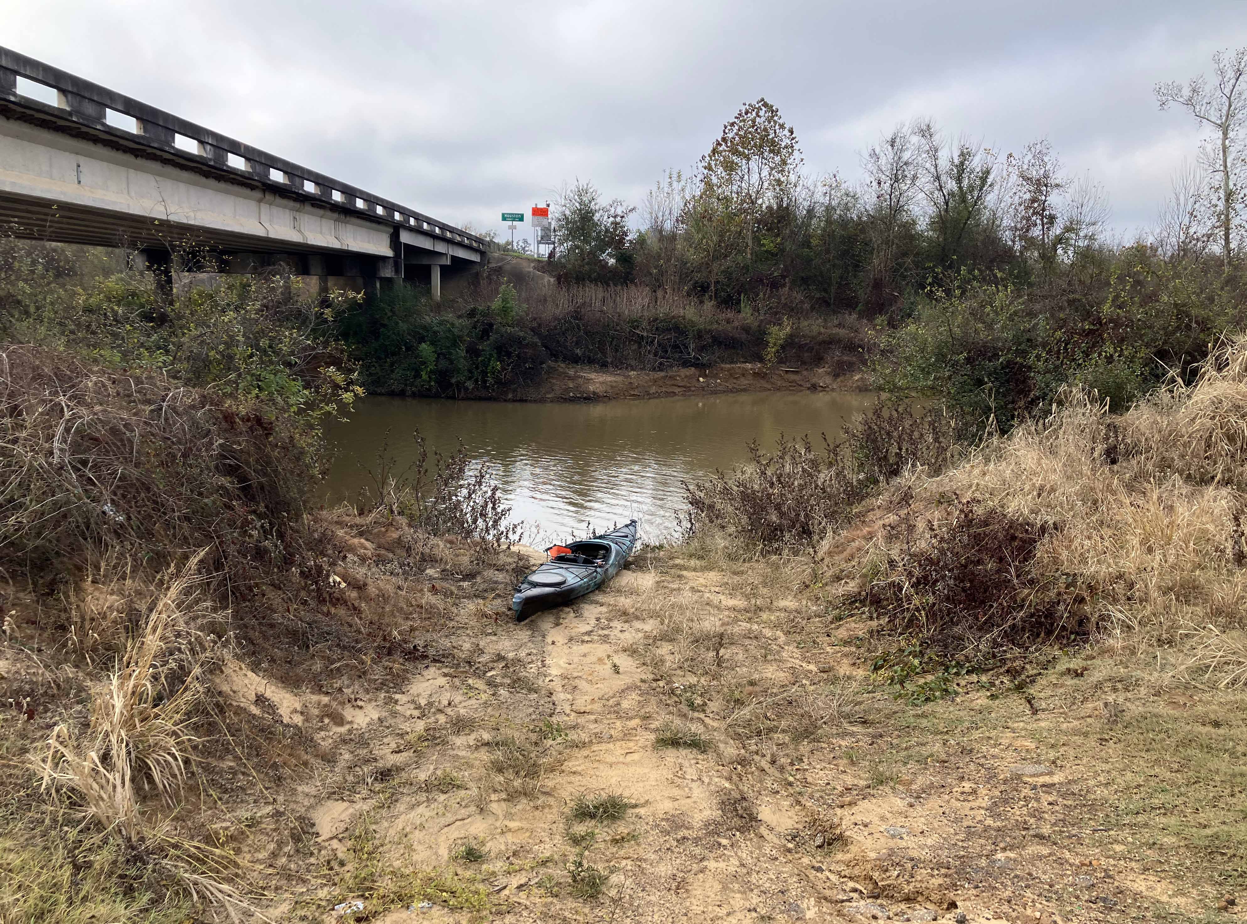
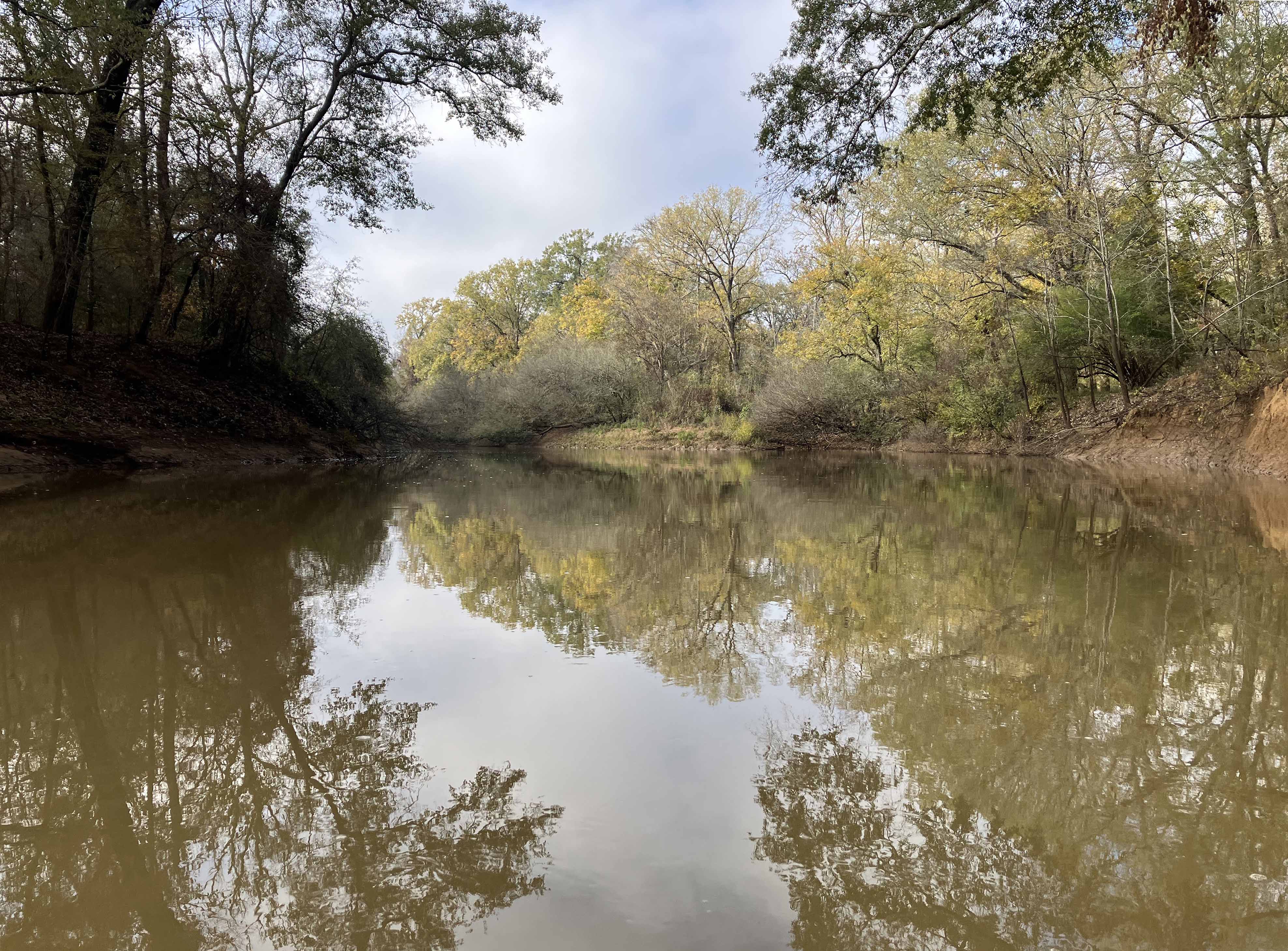
Above: Winter morning launch site on the Neches at Highway 21.
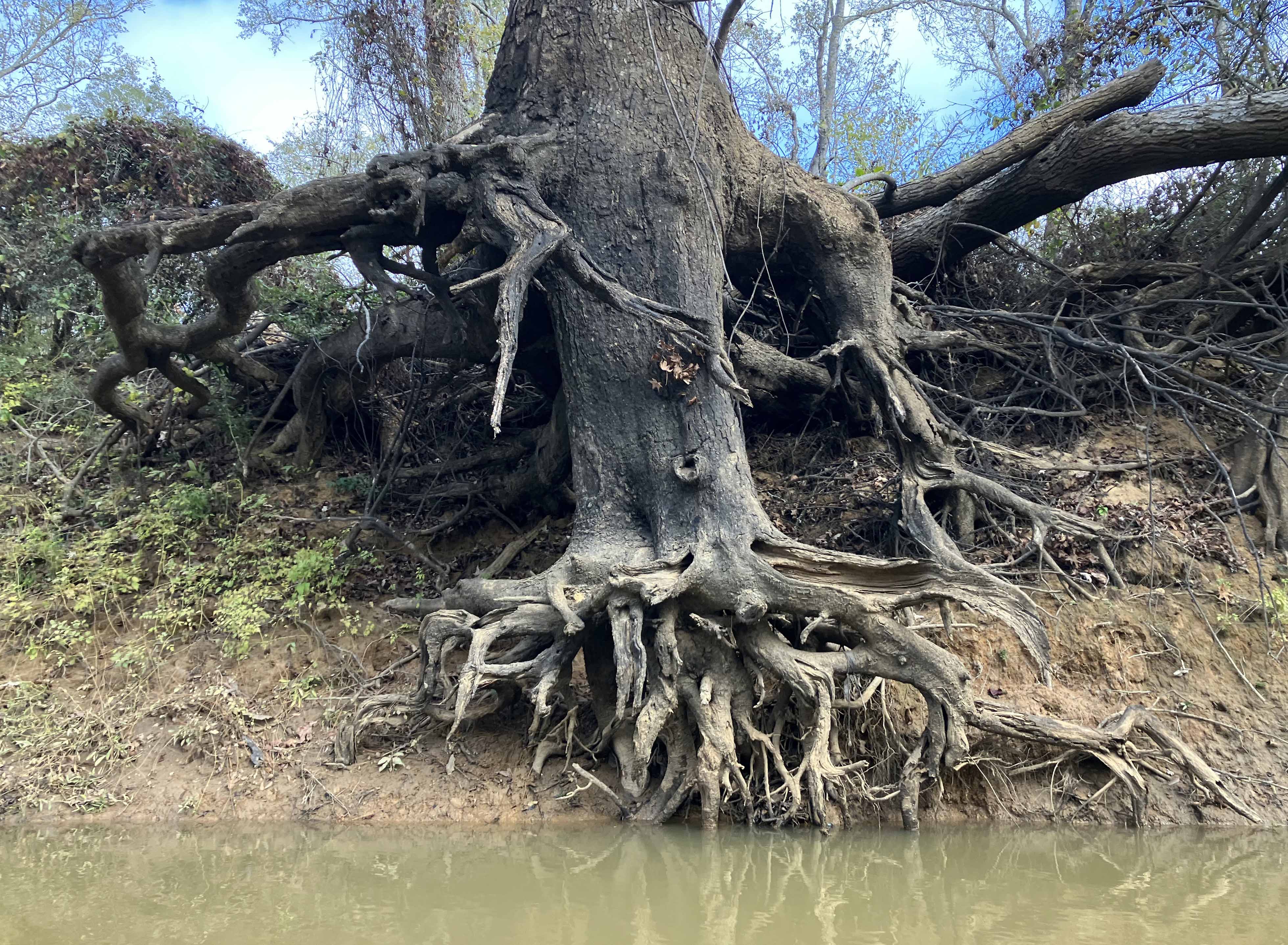
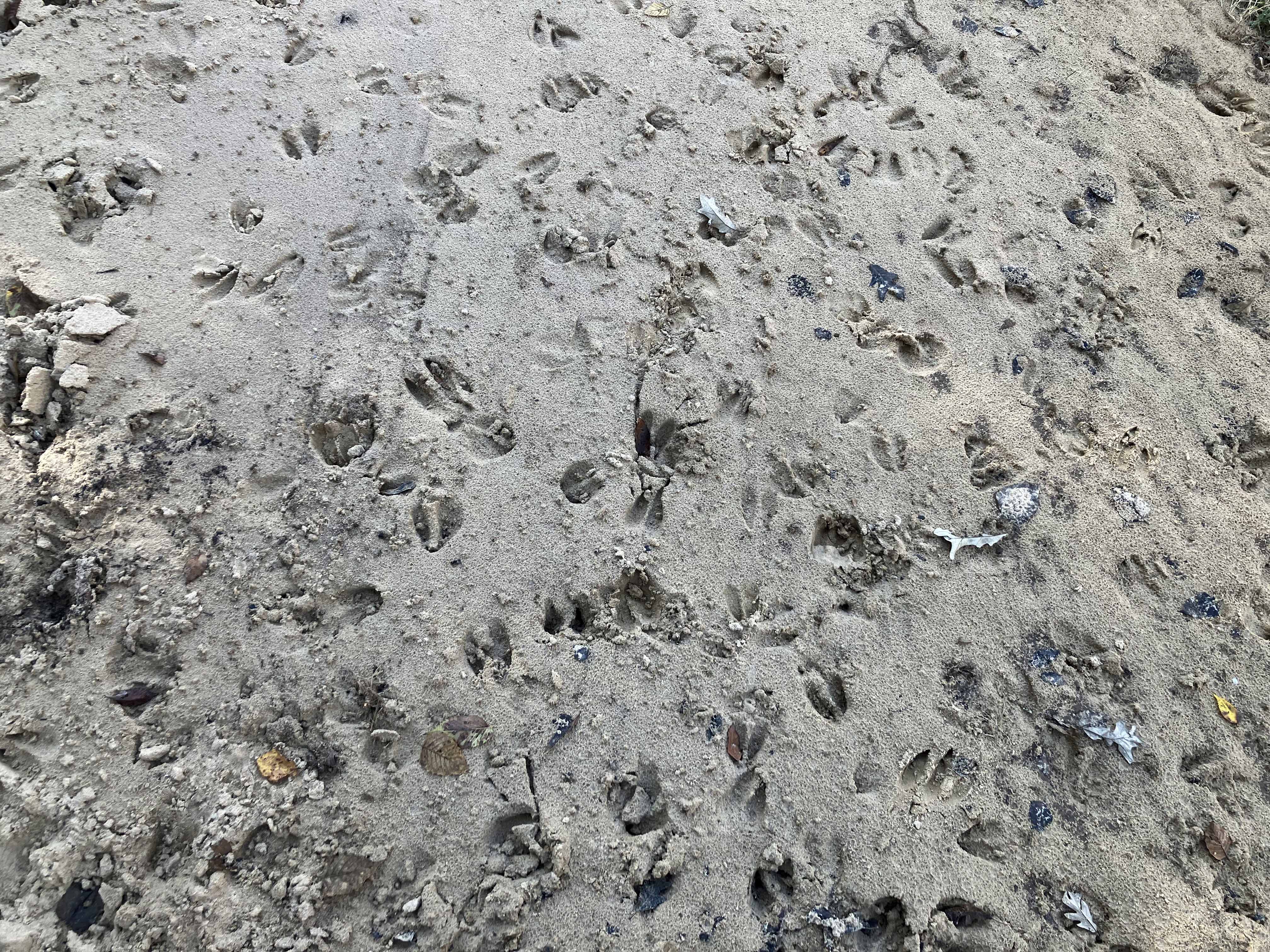
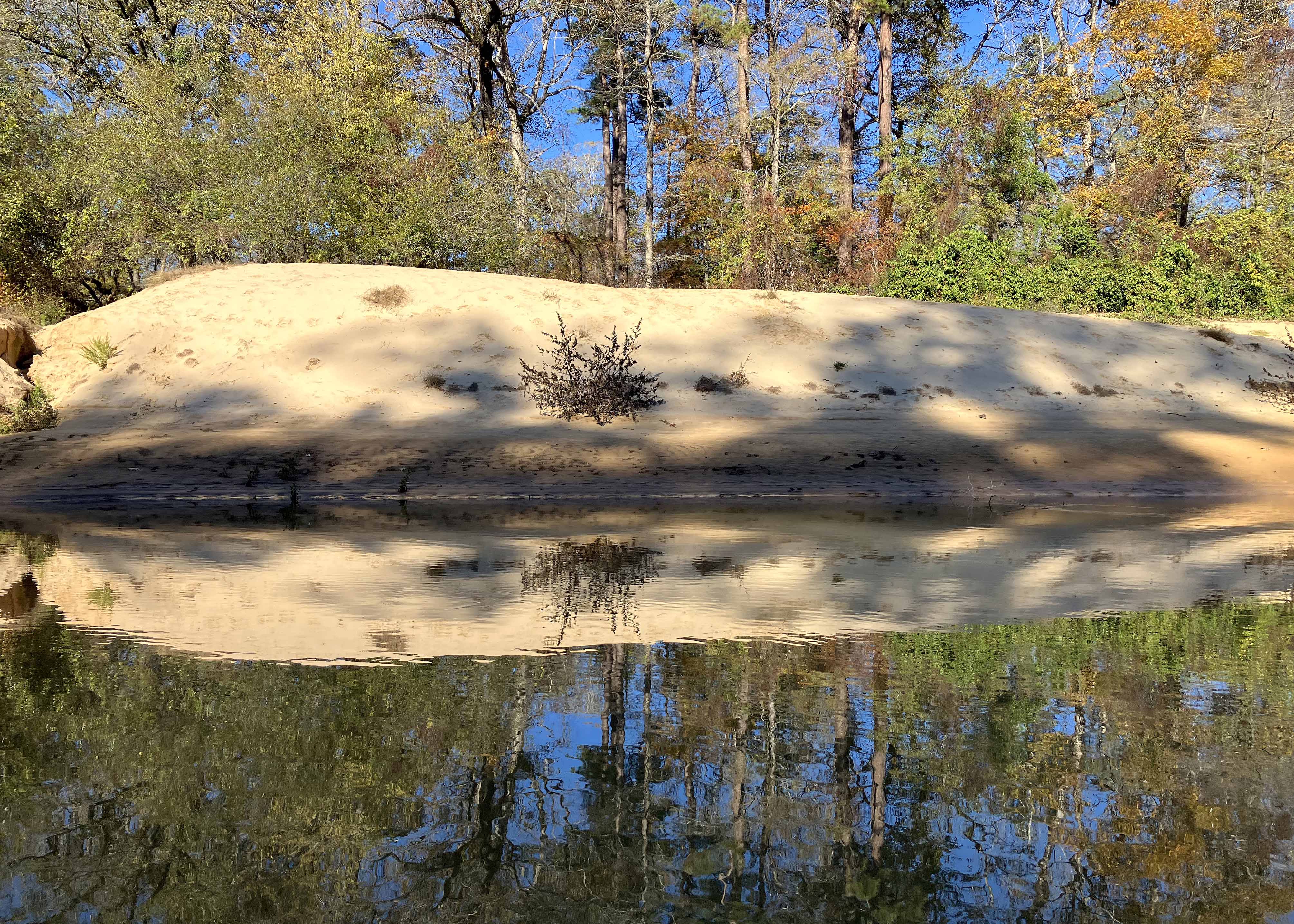
Above: The sandbars showed lots of activity, here is an example.
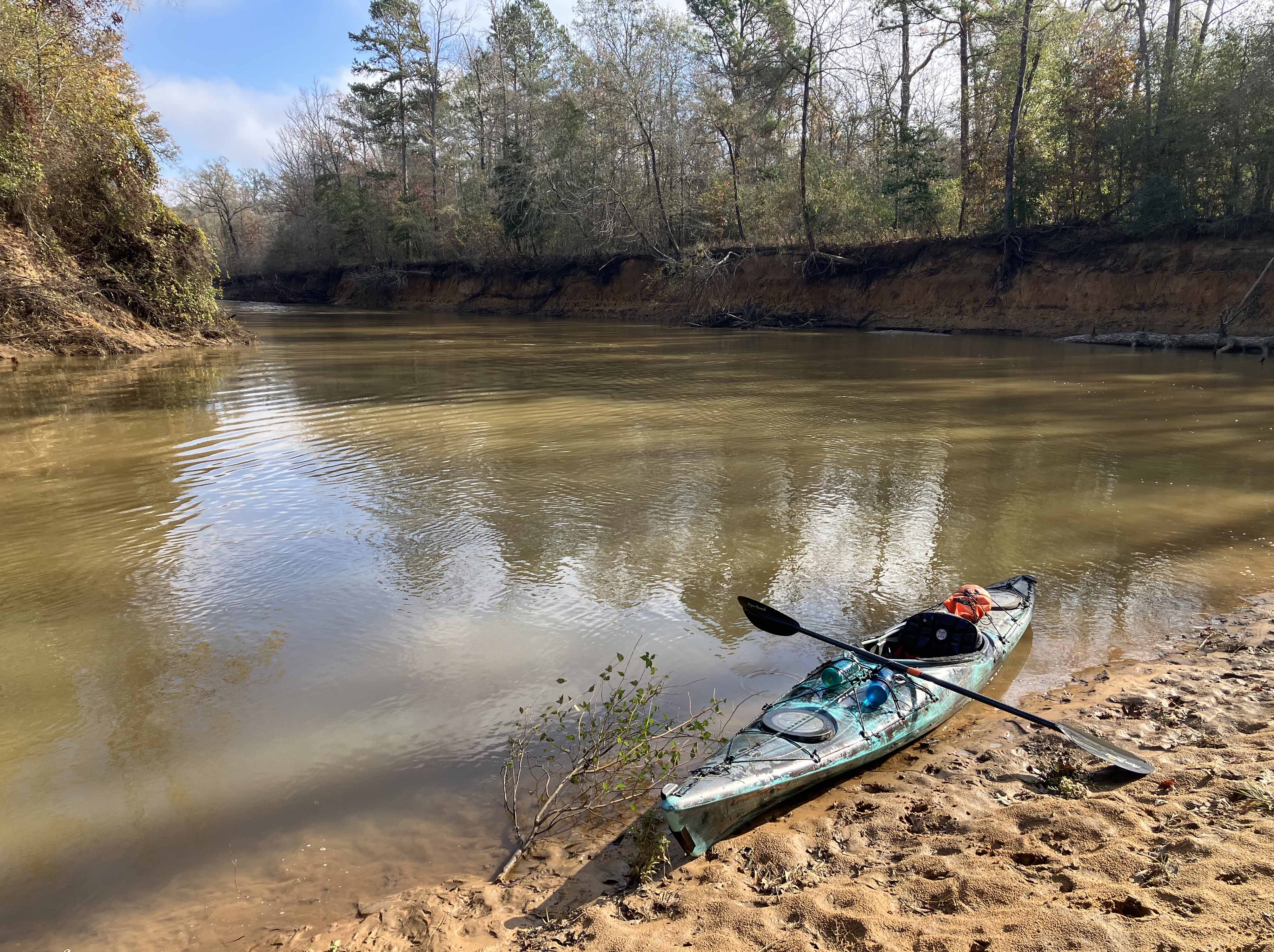
Above: Taking a break.
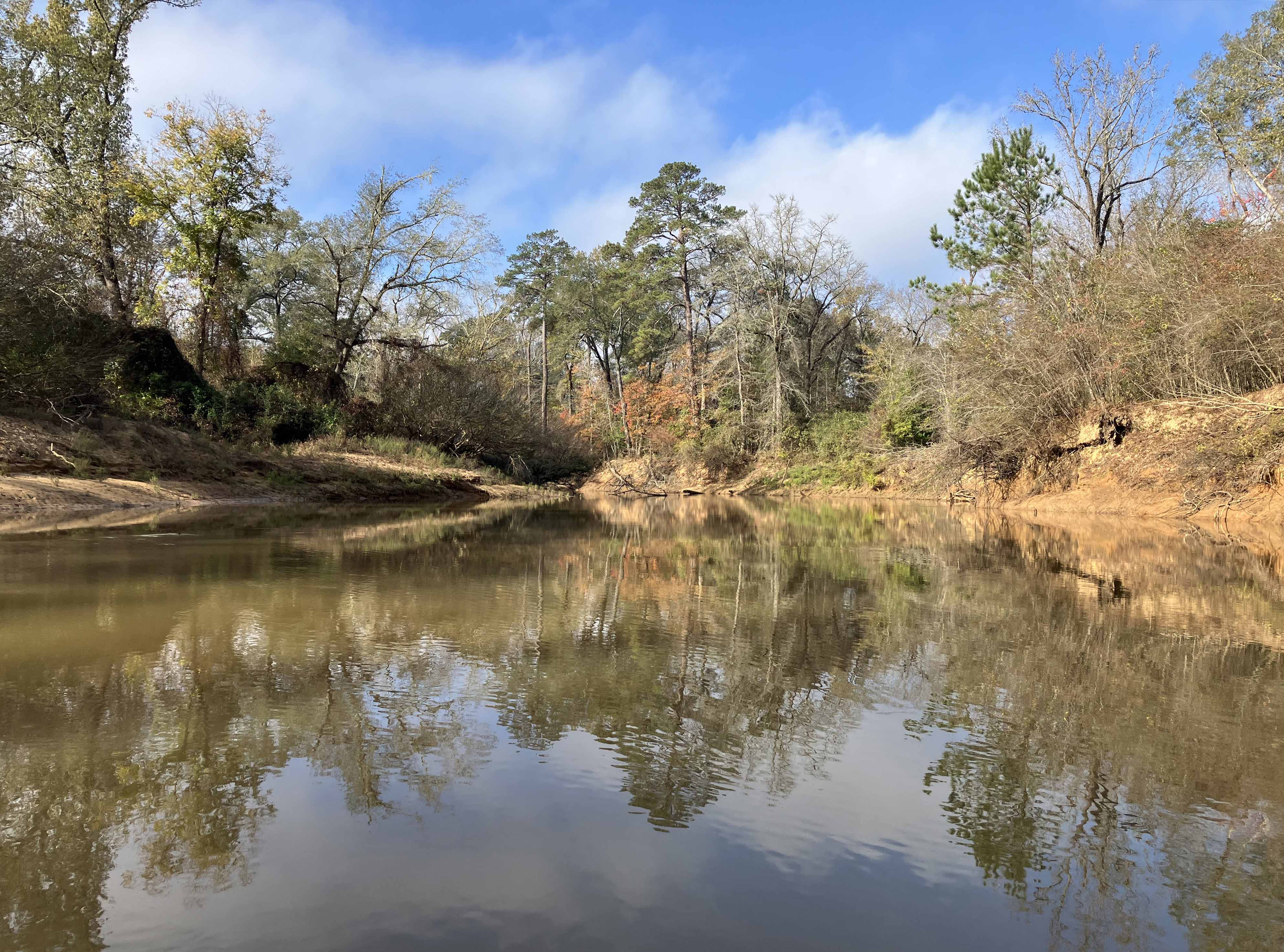
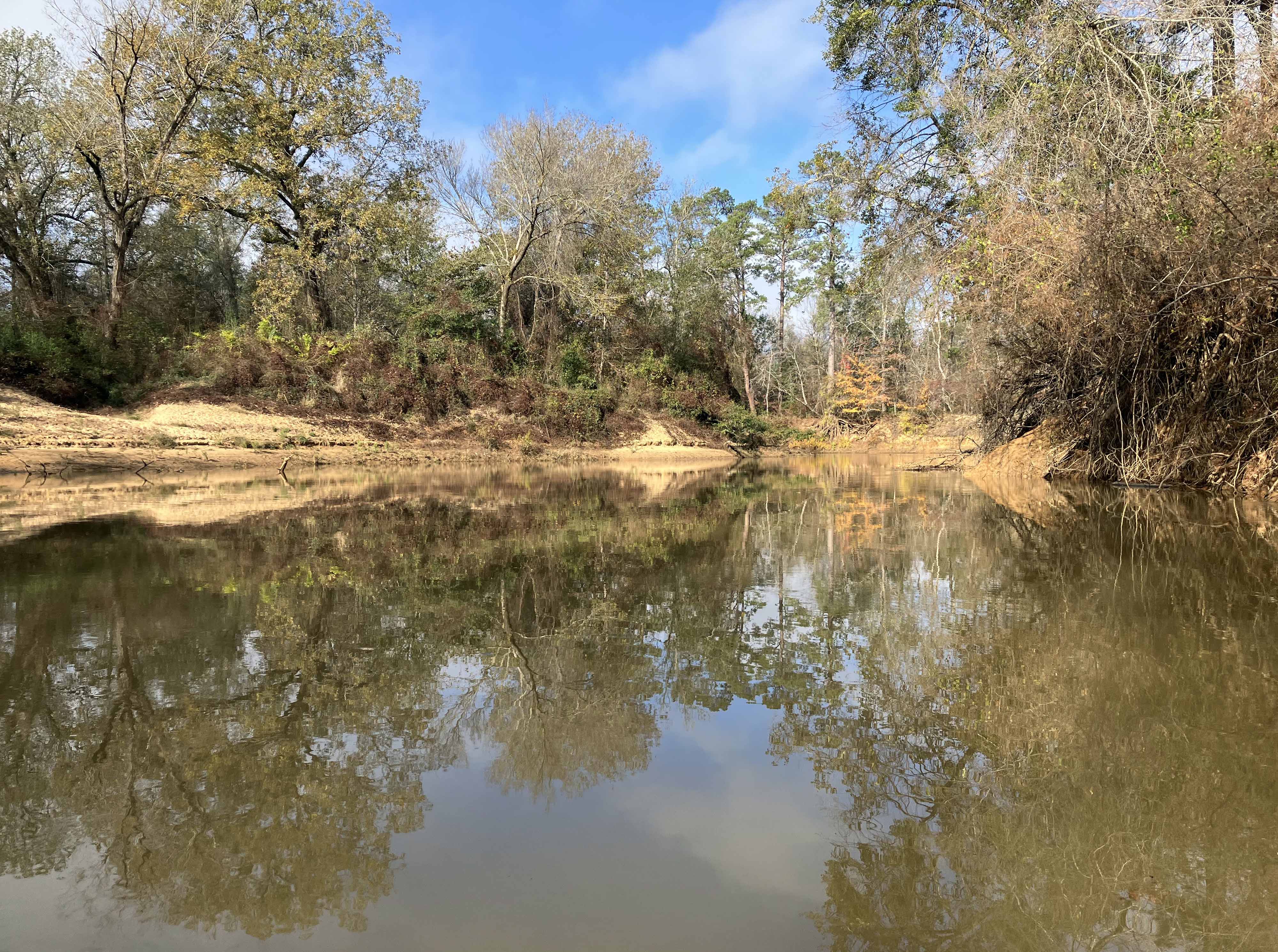
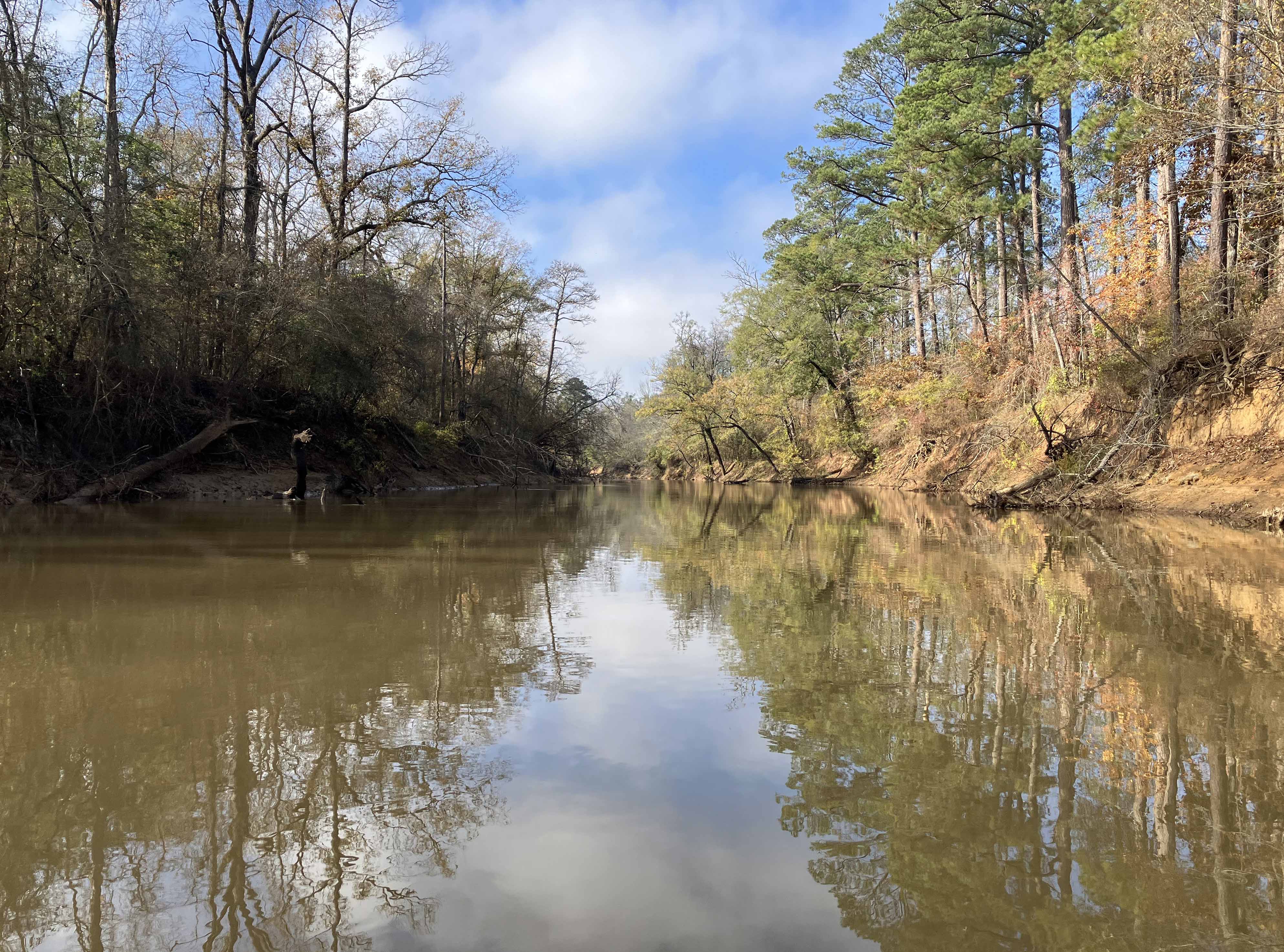
Above: Sunny river scene on the way back.
