Neches River, Highway 59 Launch, going up
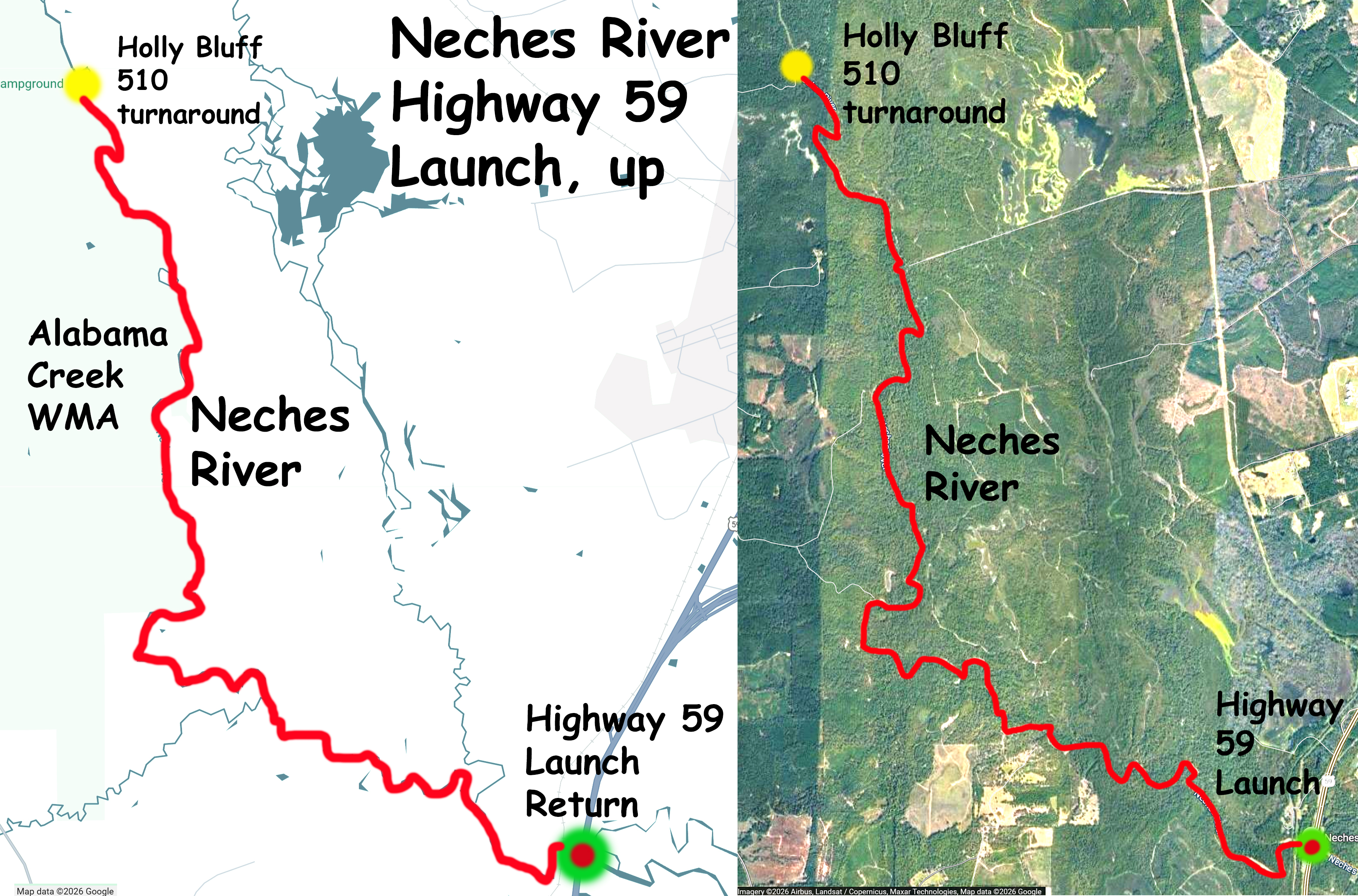
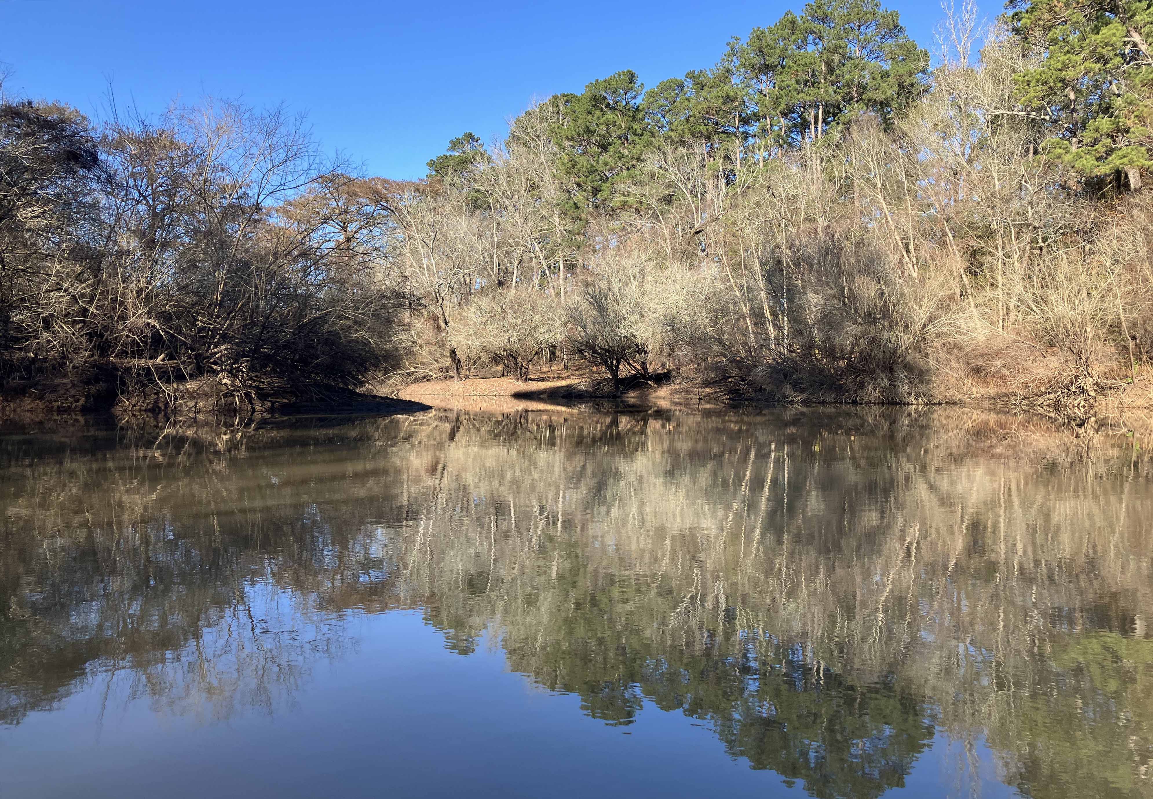
Kayak paddle trail route map on the Neches River, launching at Highway 59 just south of Lufkin Texas. Cold but sunny winter morning, perfect paddling weather, went upstream about 9-ish miles to the Holly Bluff Campground/510A turnaround, and back again. Roughly three hours up and two hours back with Neches Rv at Diboll TX at 395 cfs. Some trees and brush along the way but only two get out of the boat jams, both up and over. Guys at the launch said they had seen alligators in this area before, but not for me today, only pigs and possums. Part of this section of river is the eastern boundary of the Davy Crockett National Forest and the Alabama Creek WMA. Nice stretch to paddle, very pretty.
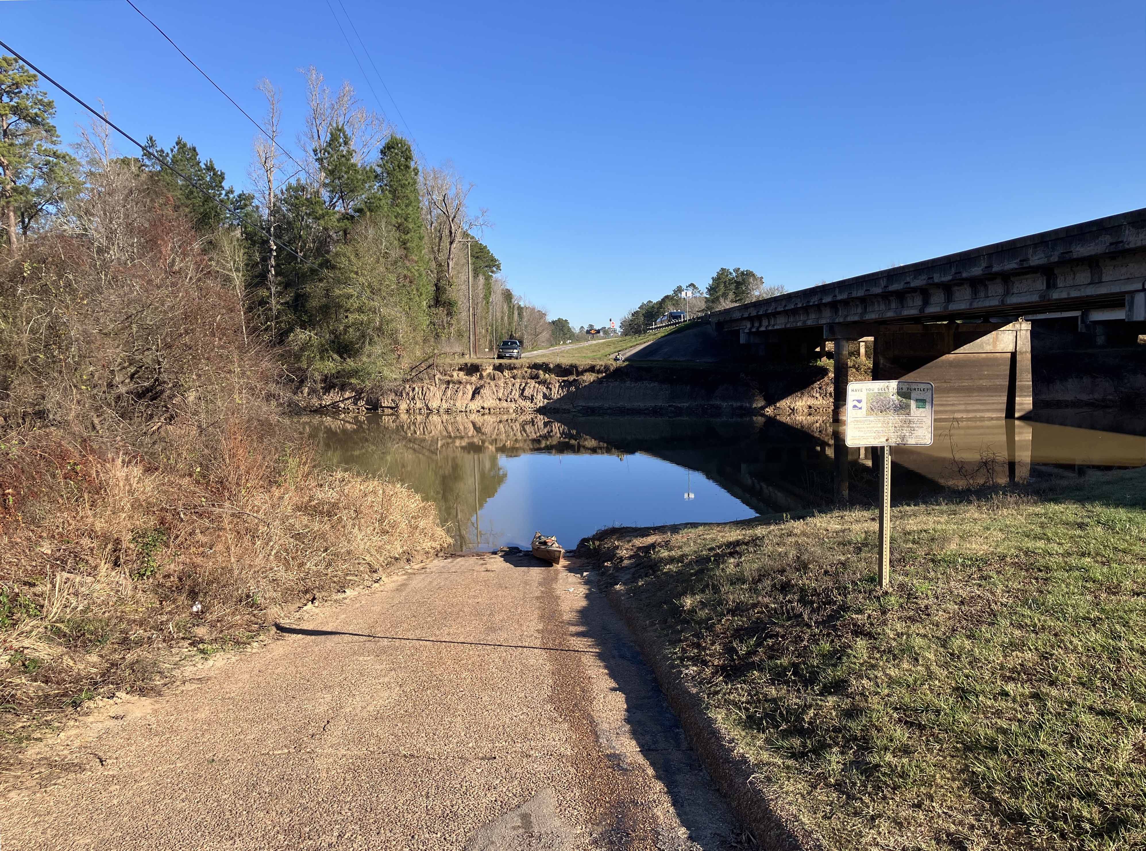
Above: The Highway 59 Neches River Public Launch.
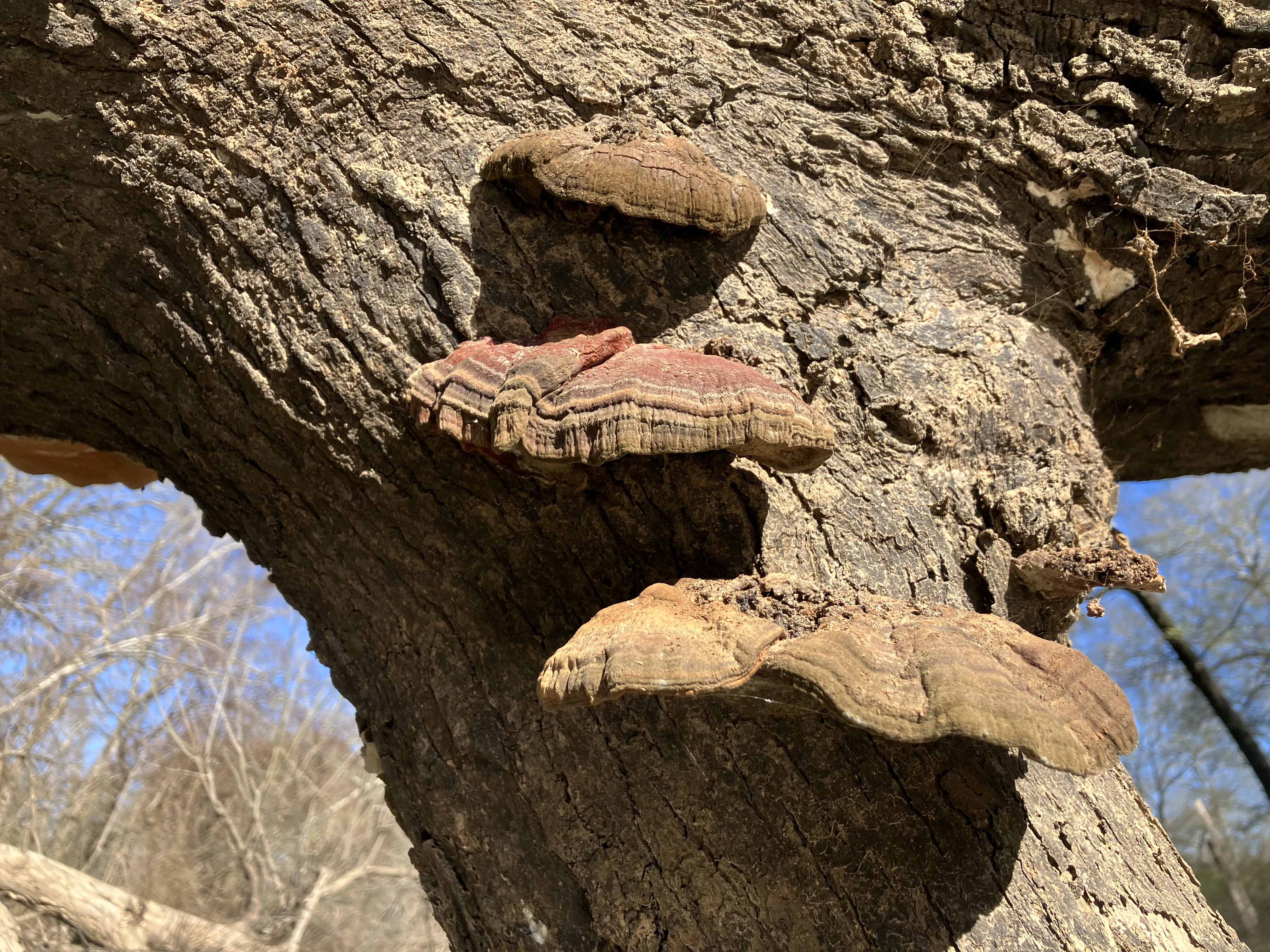
Above: May be edible. May not be edible.
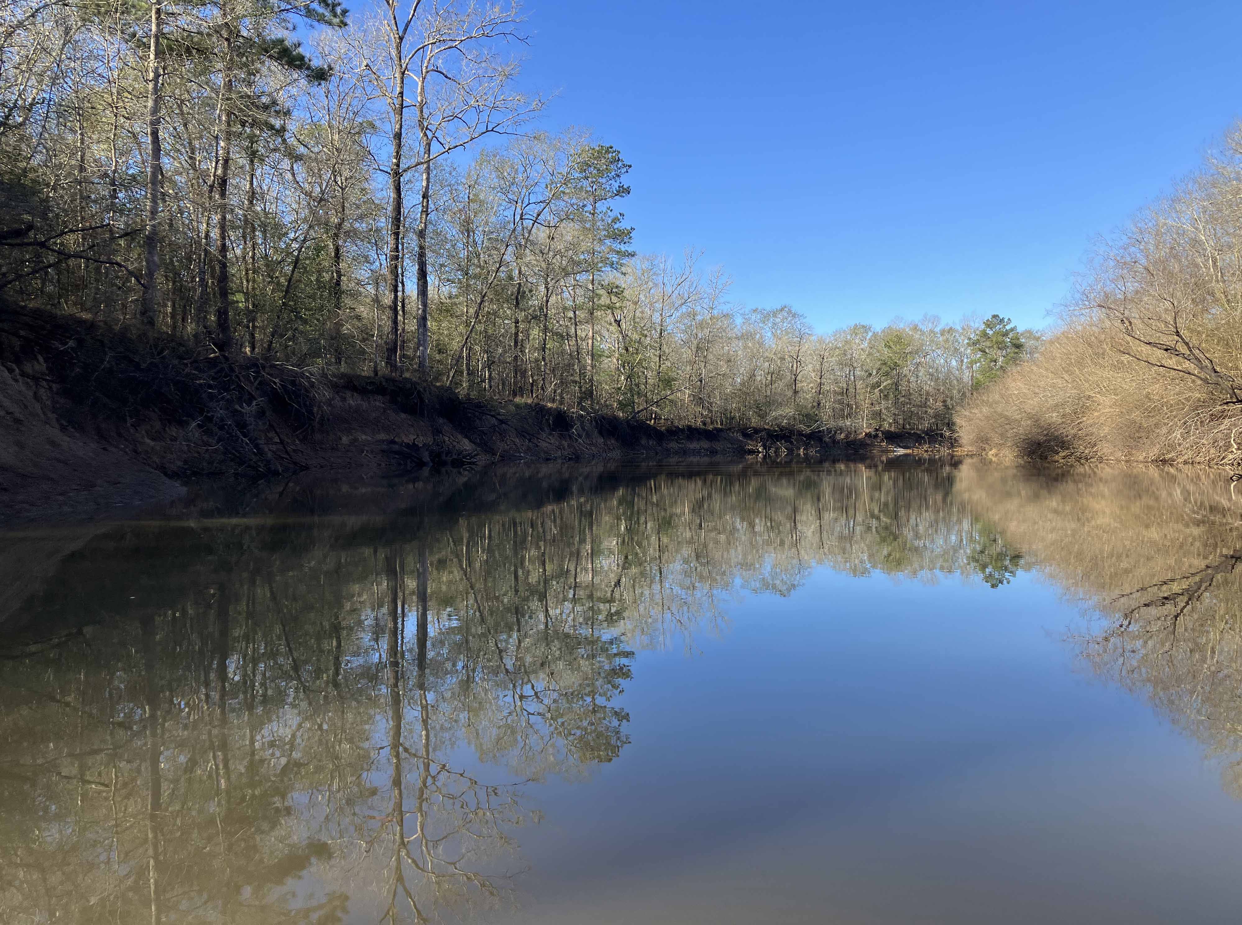
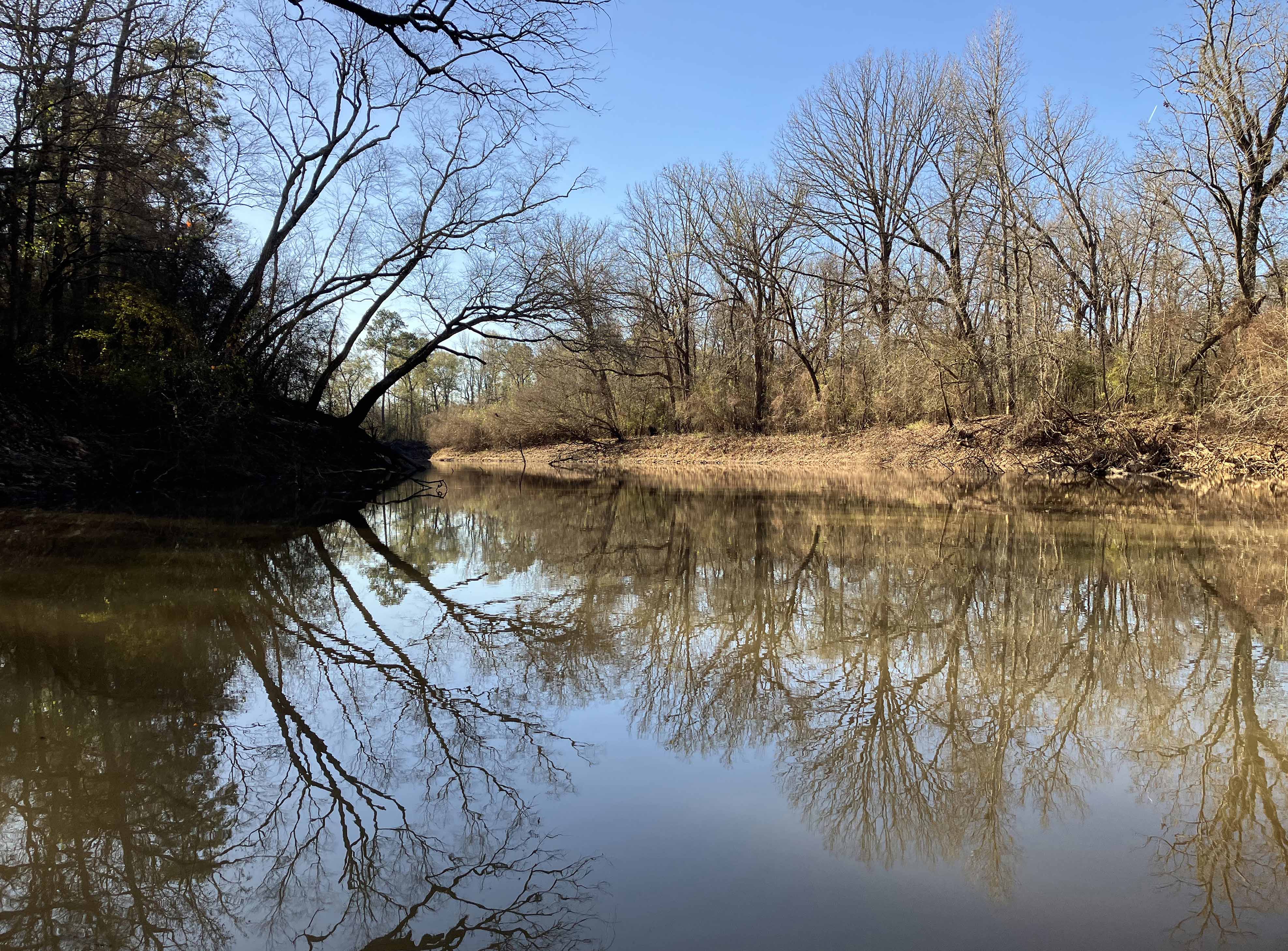
Above: Clear paddling.
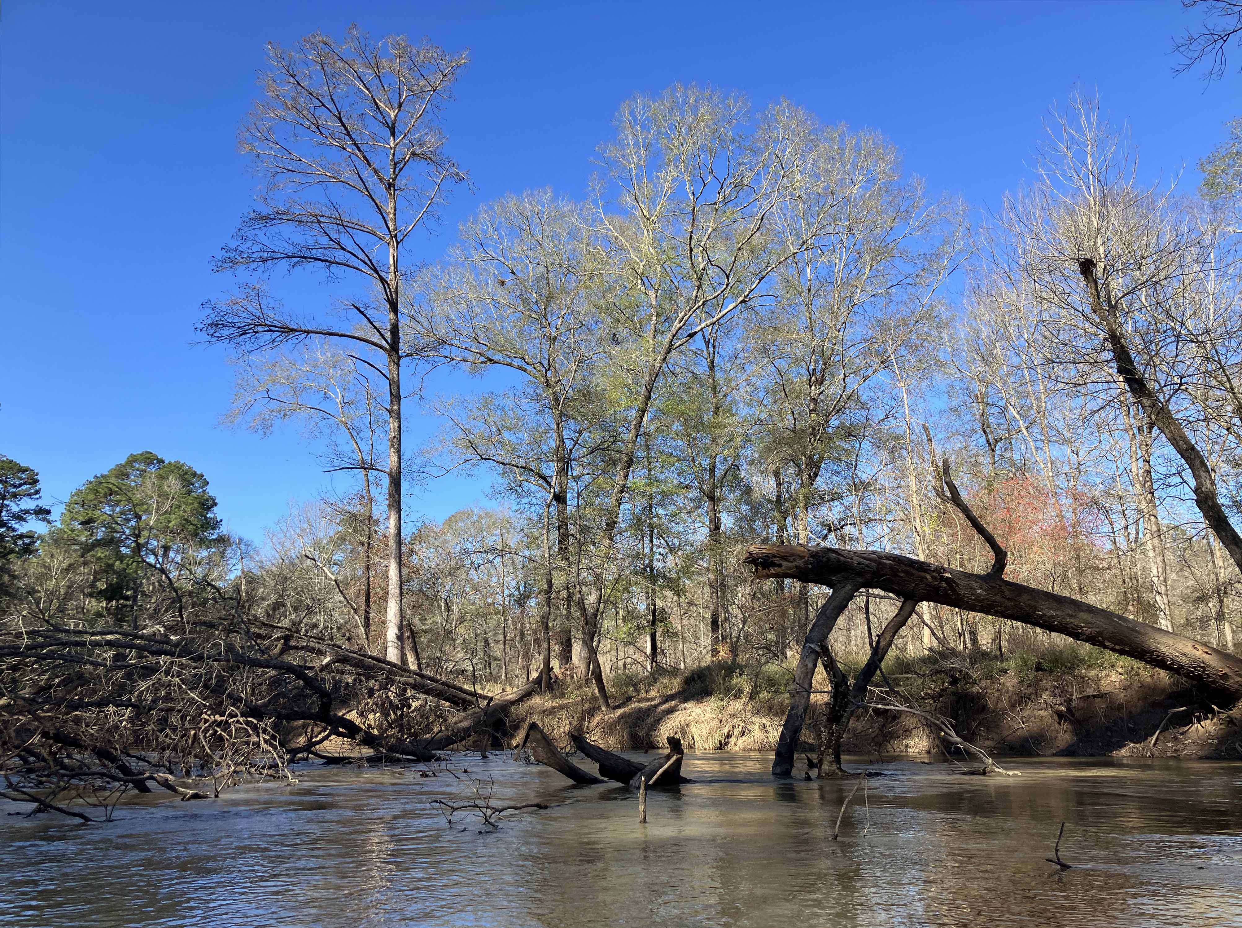
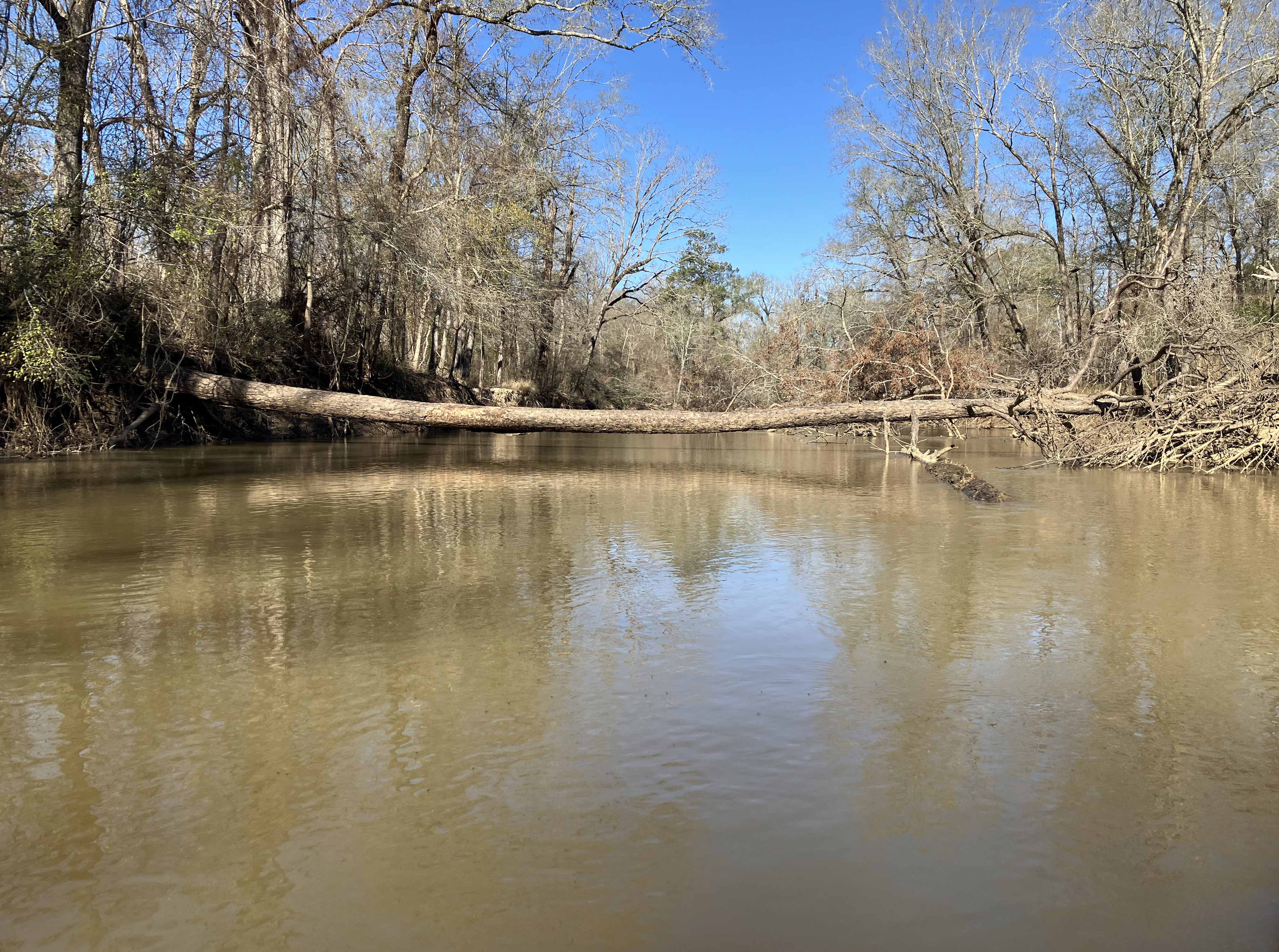
Above: Some navigational puzzles along the way though.
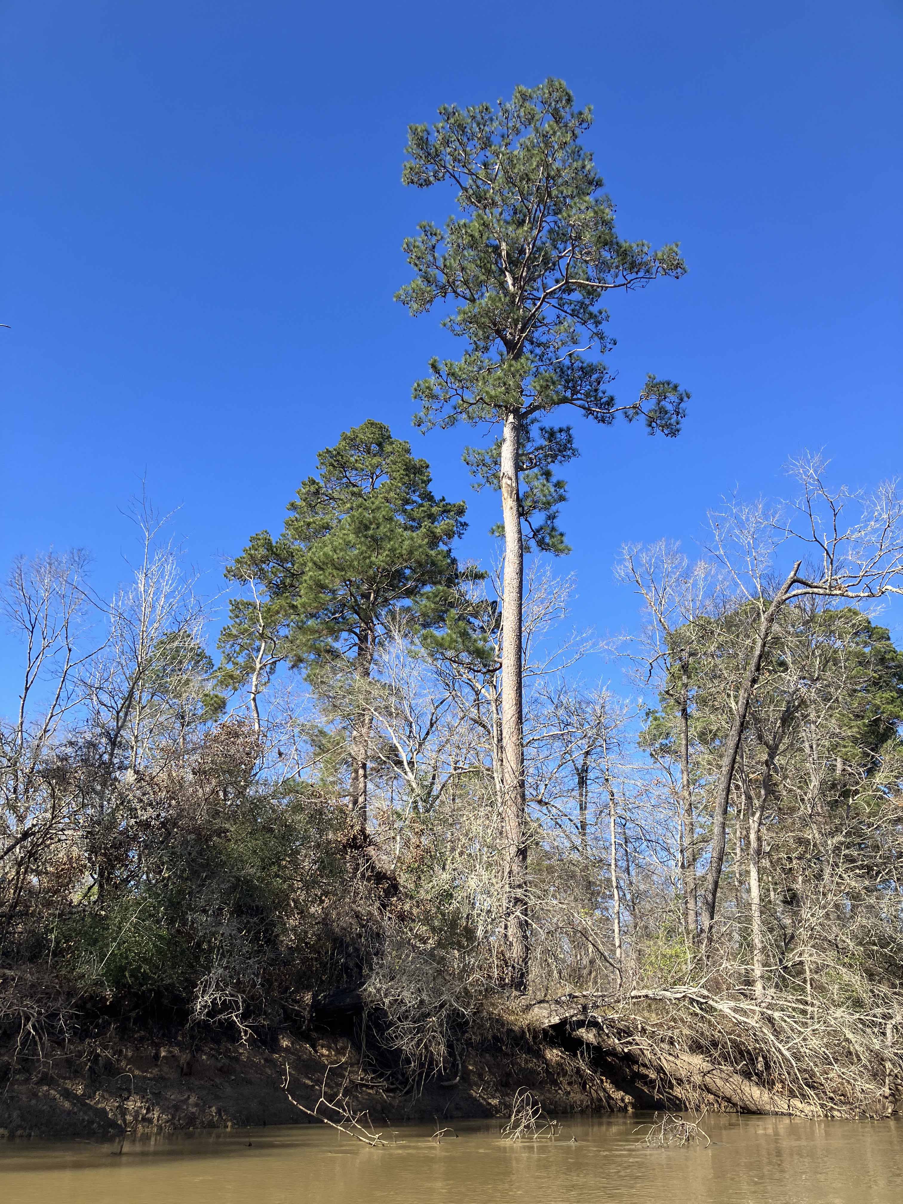
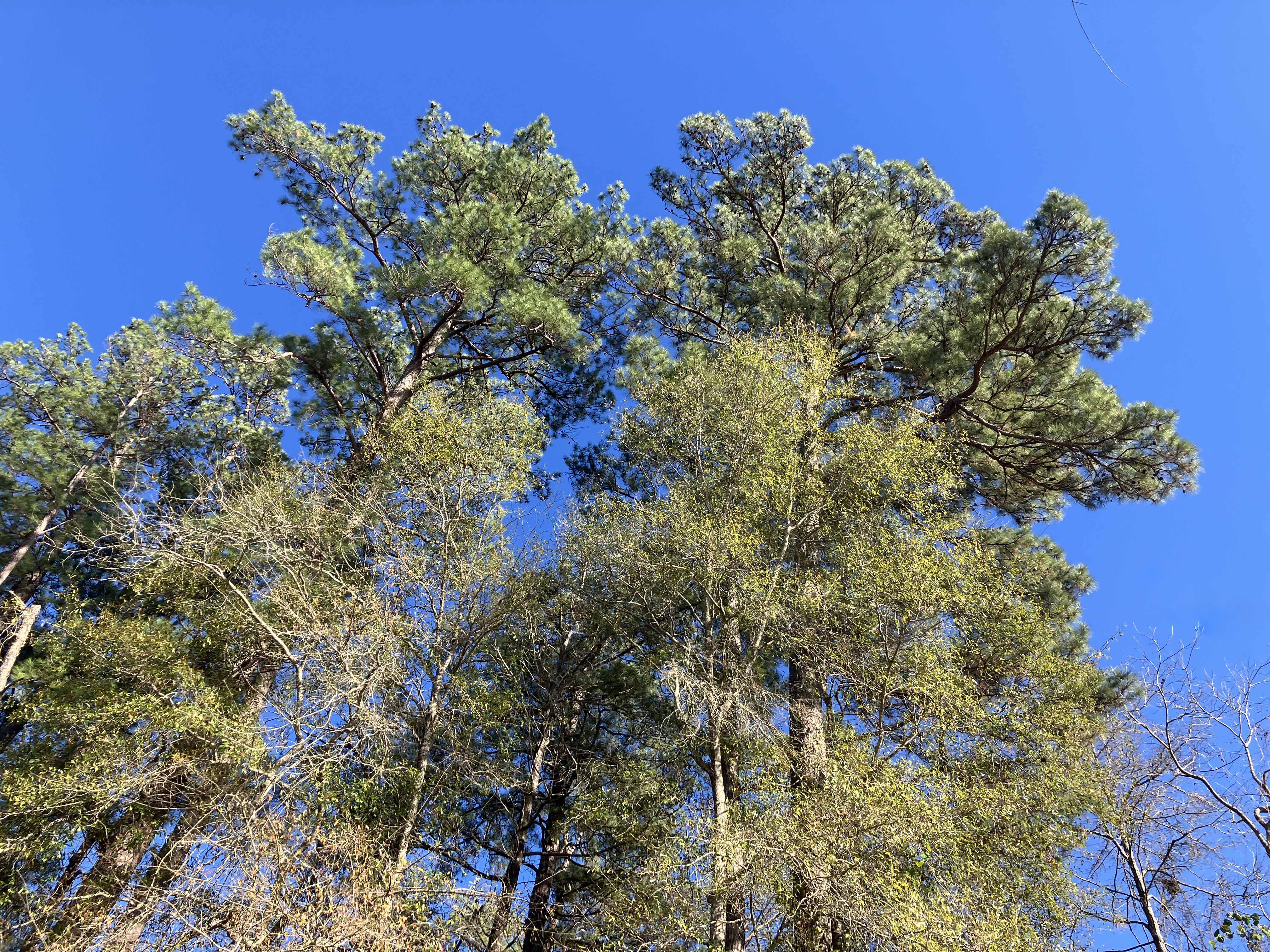
Above: Tall East Texas Pine.
Above: Go under.
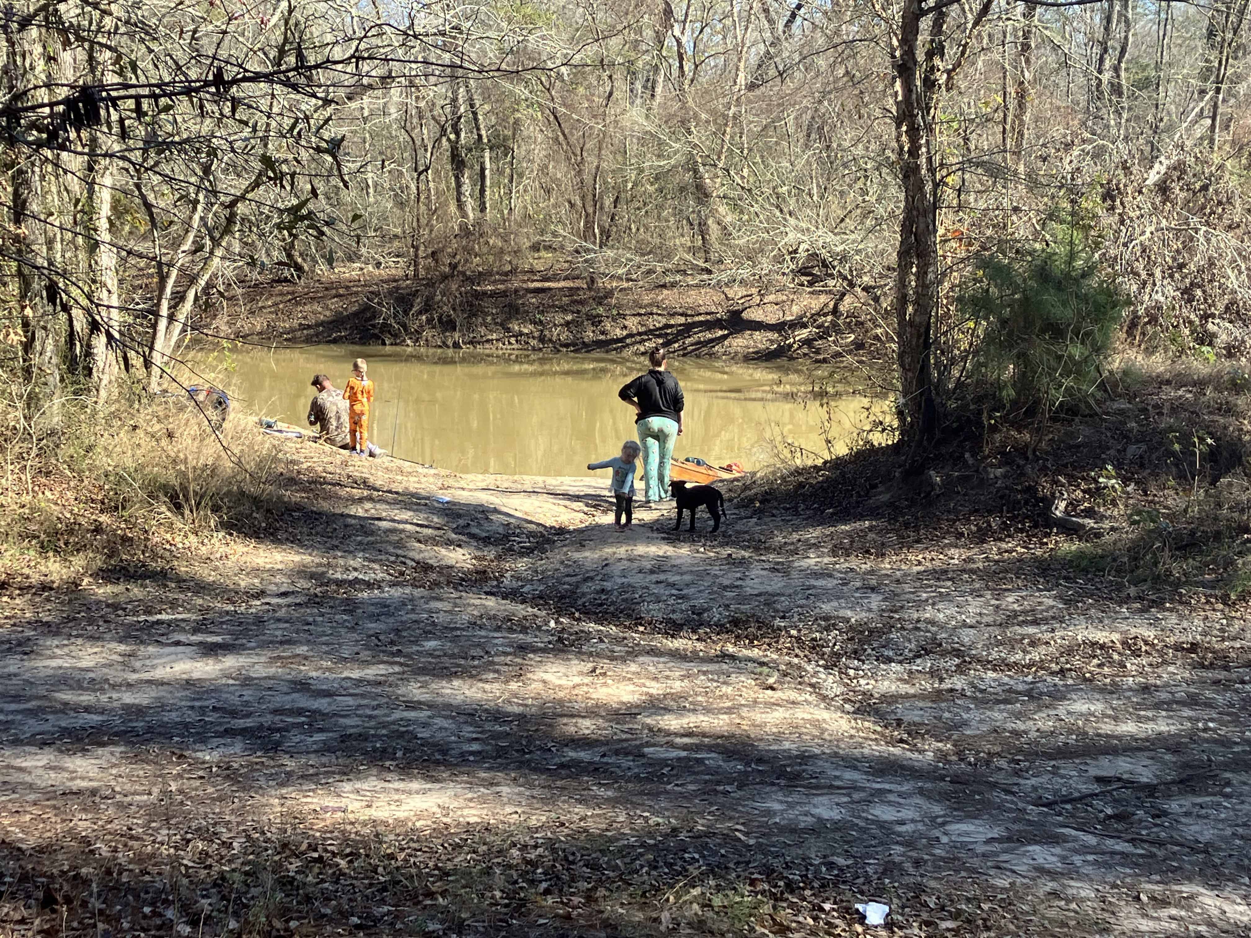
Above: Folks fishing at the Holly Bluff Campground/510 Launch inthe Alabama Creek WMA, the turnaround point for this trip.