Neches River, Highway 7 Launch, going up

Kayak paddle route trail map Neches River, Hwy 7 Launch, Crockett Trail, going up, www.SawdustRiver.com

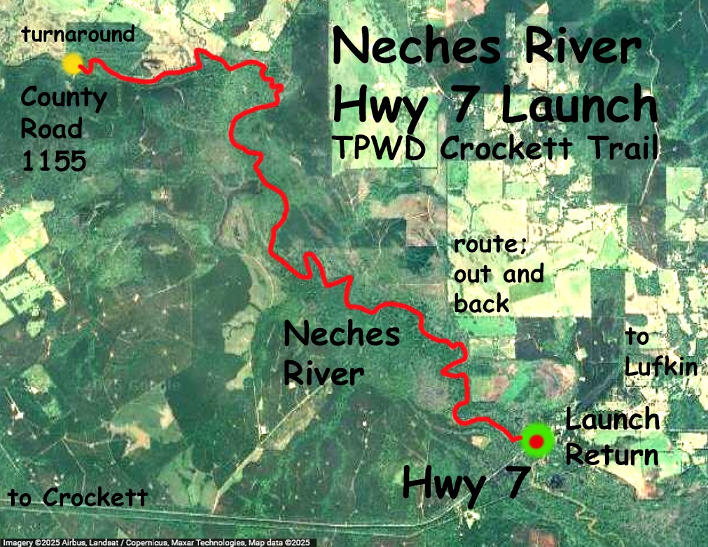
Kayak trail route map on the Neches River, starting at the Highway 7 launch between Crockett and Lufkin. The route is an out and back that goes up to the County Road 1155 crossing and returns to the launch. Took about four hours. This is the same route as the TPWD Crockett trail. There is a small shuttle service at the takeout on Highway 7 if needed. The river here starts to widen a bit more than in the upstream sections, but still has some tight turns and a few logjam puzzles. This trip the Neches at SH7 gage about 210 cfs, very mild current. Bright, beautiful day, tons of turtles.

Kayak paddle scenery picture Neches River, Hwy 7 Launch, Crockett Trail, going up, www.SawdustRiver.com

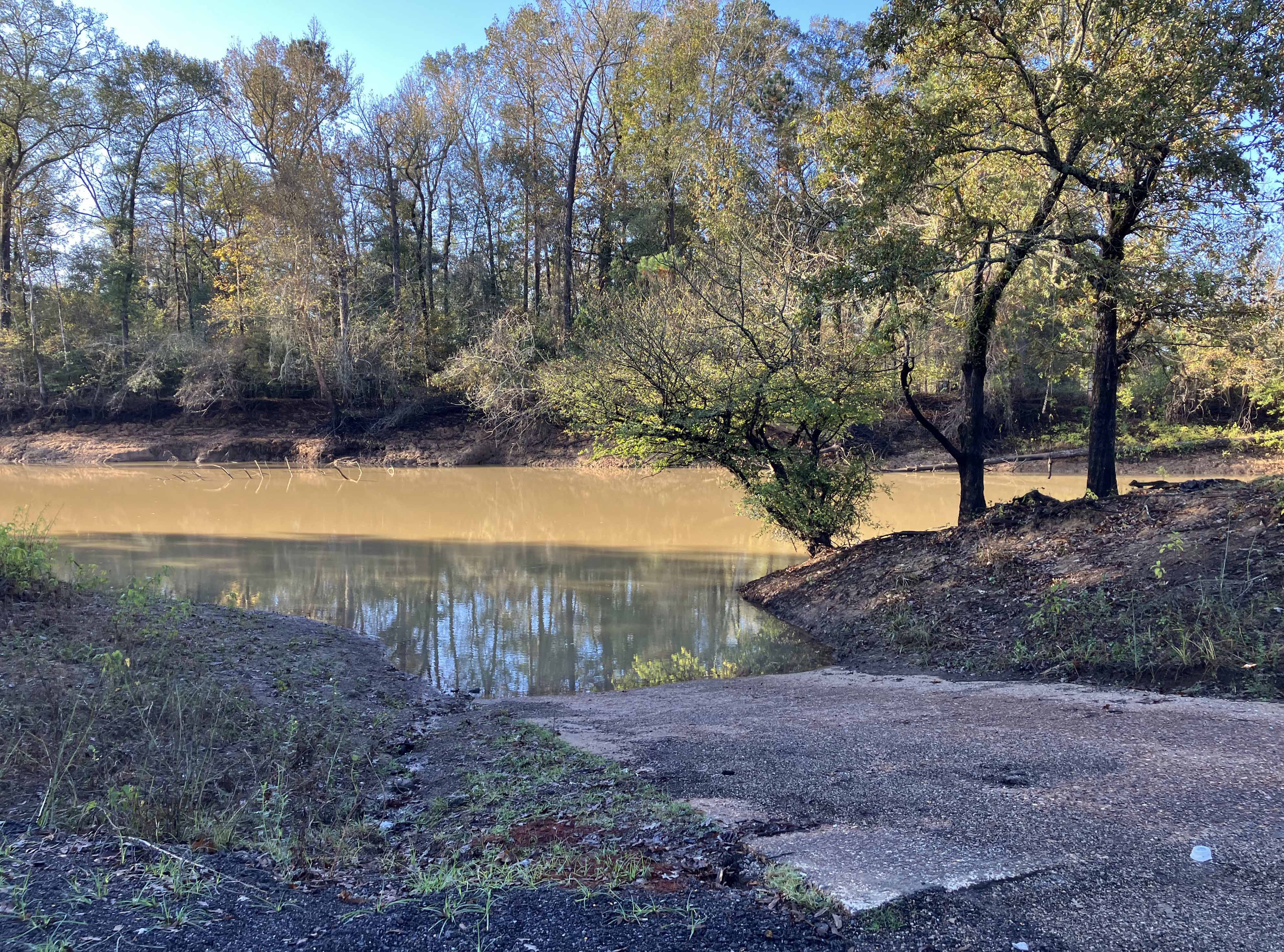
Above: The Highway 7 Launch.

Kayak paddle scenery picture Neches River, Hwy 7 Launch, Crockett Trail, going up, www.SawdustRiver.com

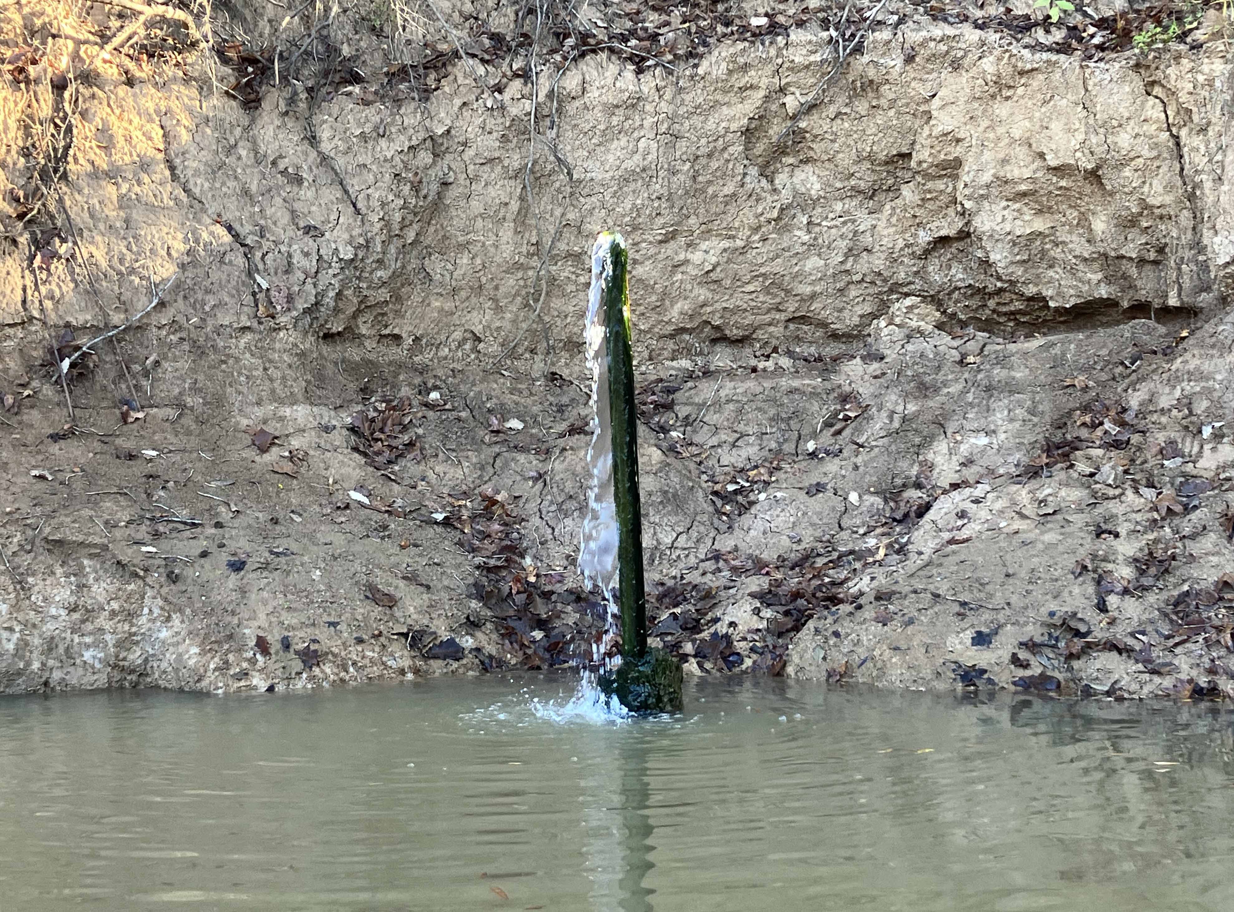
Above: Pipe coming out of the river, natural spring I think. It tasted good but a bit of sulfur.

Kayak paddle scenery picture Neches River, Hwy 7 Launch, Crockett Trail, going up, www.SawdustRiver.com

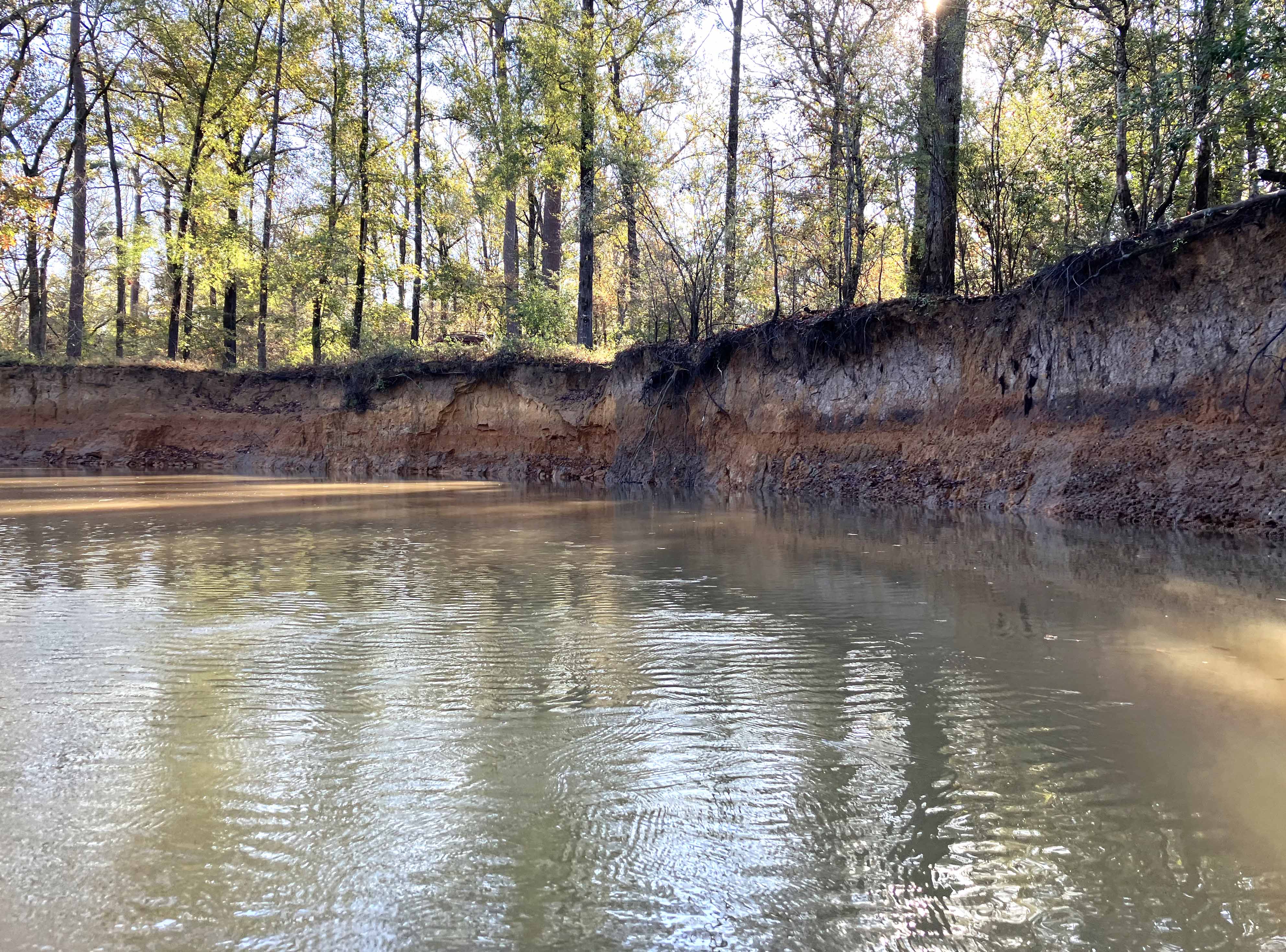
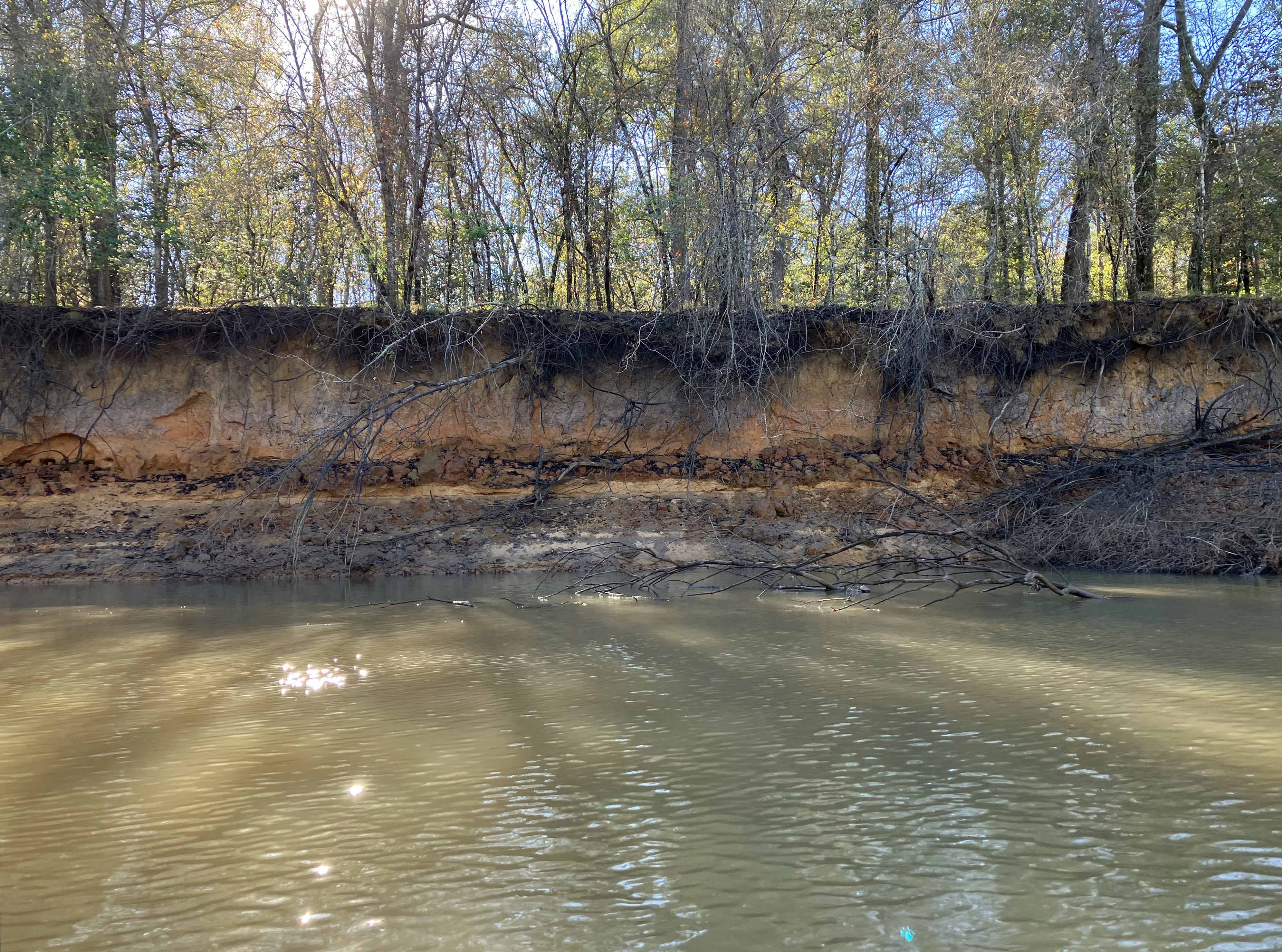
Above: Straight stretch.

Kayak paddle scenery picture Neches River, Hwy 7 Launch, Crockett Trail, going up, www.SawdustRiver.com

Above: View of the river from up on the bank. The boat is somewhere down there too.
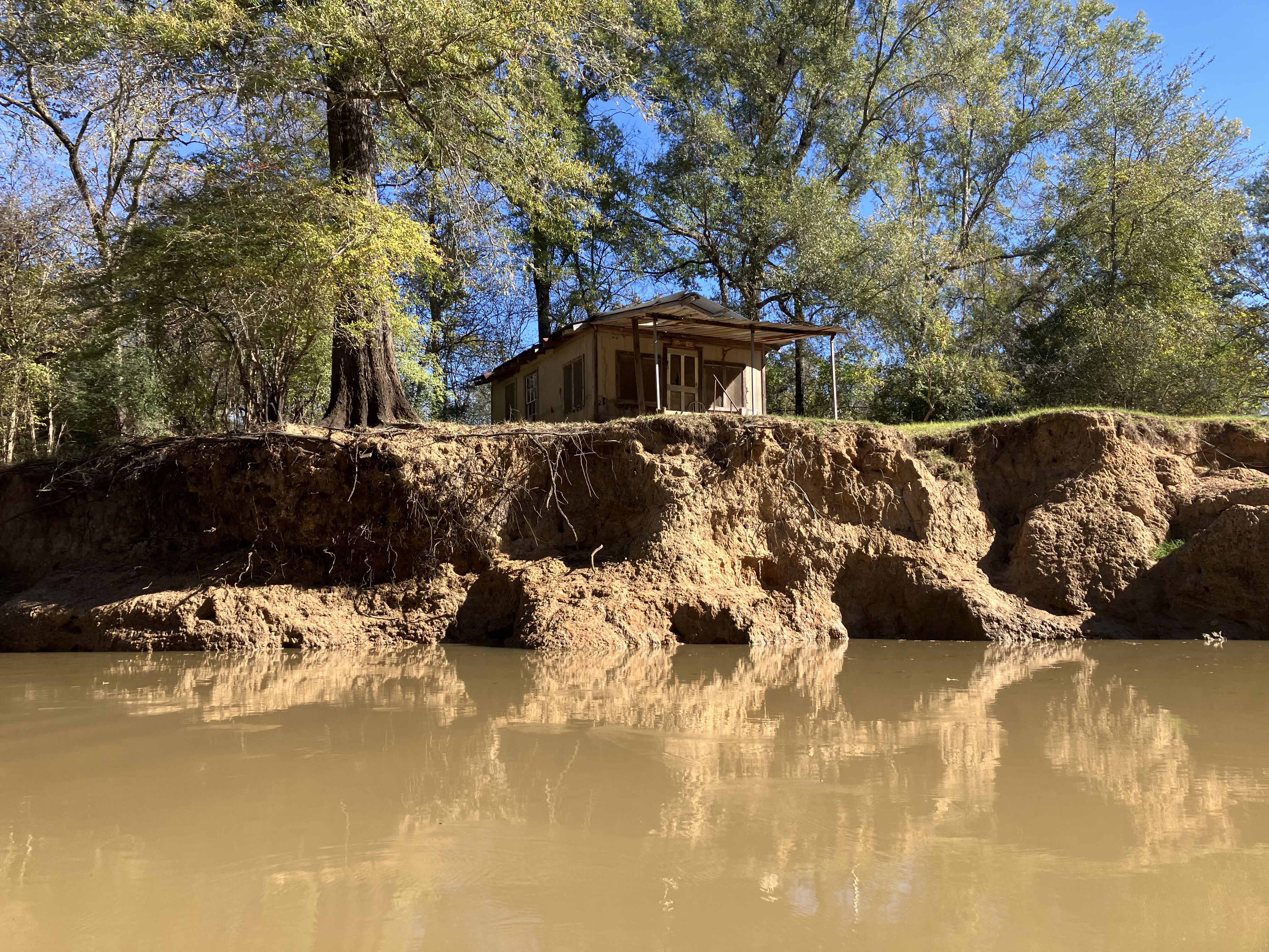
Kayak paddle scenery picture Neches River, Hwy 7 Launch, Crockett Trail, going up, www.SawdustRiver.com

Above: River cabin.

Kayak paddle scenery picture Neches River, Hwy 7 Launch, Crockett Trail, going up, www.SawdustRiver.com

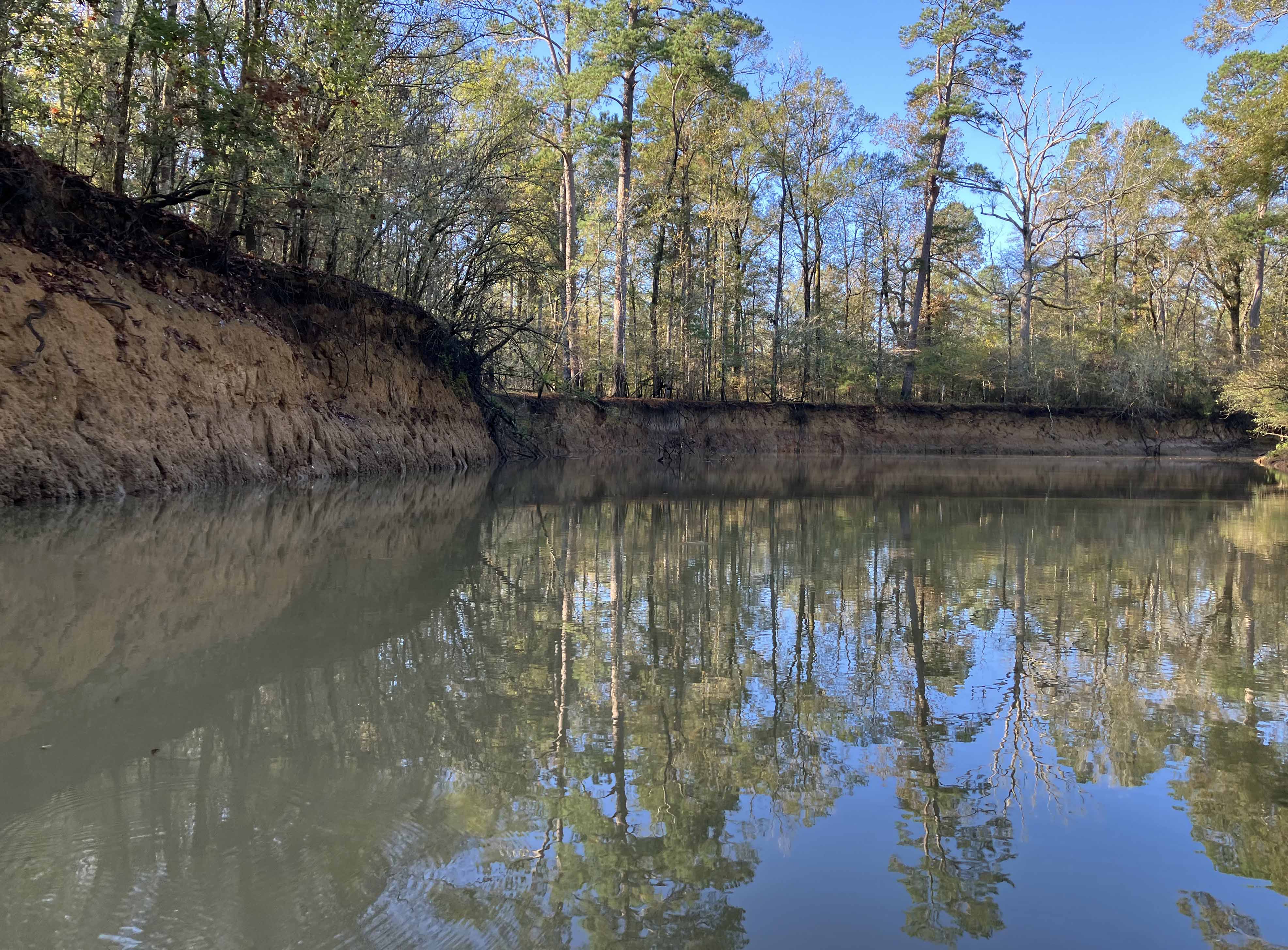
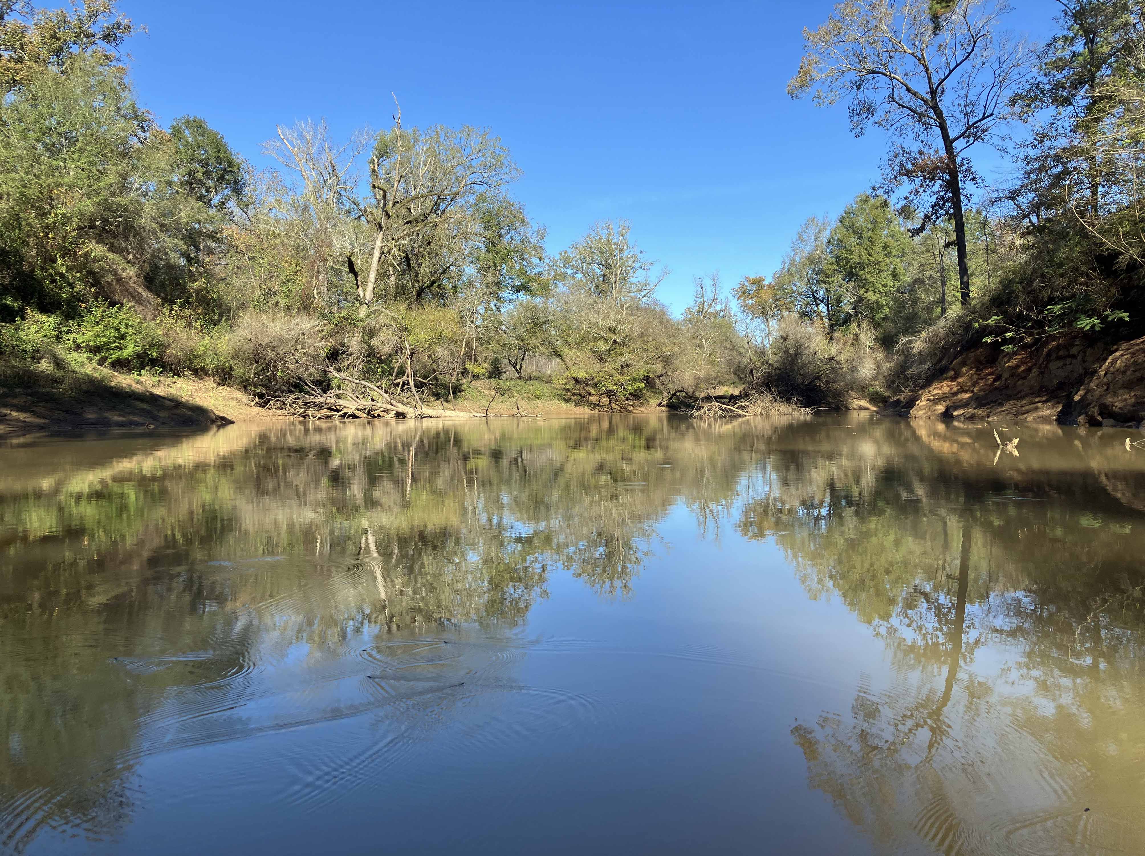
Above: Morning reflection on the river.