Neches River, Highway 94 Launch, up

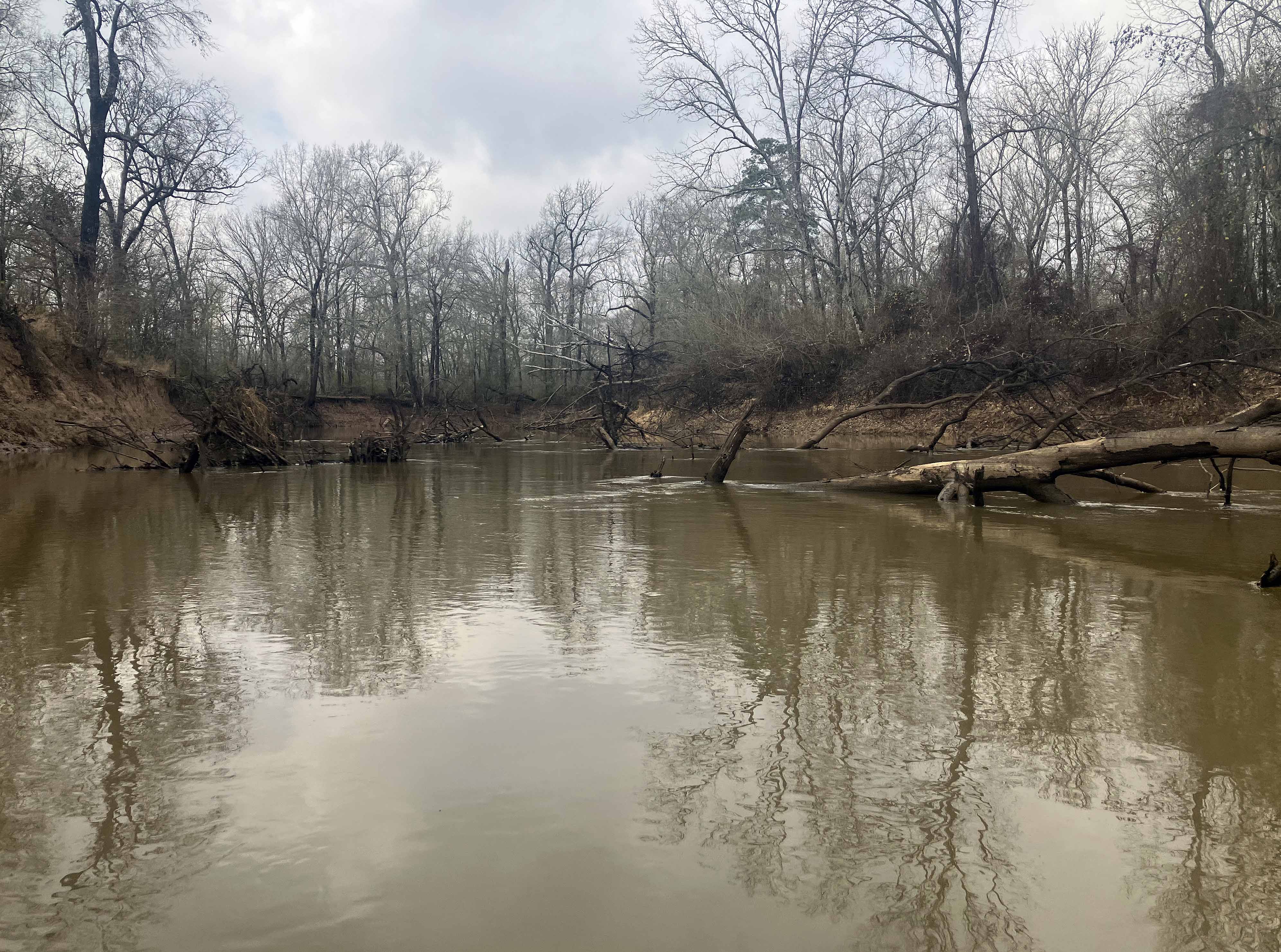
Kayak route trail map on the Neches River, starting at the Highway 94 bridge just to the west of Lufkin, TX. The launch is under the bridge and just dirt but easy. Highway 94 from the bridge going west has quite a few bars and bottle shops, a picture of one is below. This trip had the classic Neches River scenery, high orange-brown banks and tall pines. It’s one of the nicer, remote, and scenic sections of the river. And while there were quite a few downed trees, the river here is pretty wide and for this trip there was only one get-out and drag the boat situation. But you never know, for all these Neches sections there might be zero portages, or one, or two, or dozens, depending on the river level and recent tree falls. Up towards the middle of the map, at the point of the purple dot, the river splits left (west). But a guy on the river I talked to on the way back said you could keep going straight north at that point and see a manmade spillway or waterfall. So that’s for another time. The river here is the western boundary of the Davy Crockett National Forest as well as the TTL Temple conservation area and has an interesting history. This gives things a more forested and natural look. Saw couple big bucks, couple pigs, an otter, and an alligator (tail only). The upstream Neches River at Hwy 7 was 380 cfs, and the downstream Neches River at Diboll was 430 cfs. About 21 miles round trip, took about five and a half hours. Very nice section.

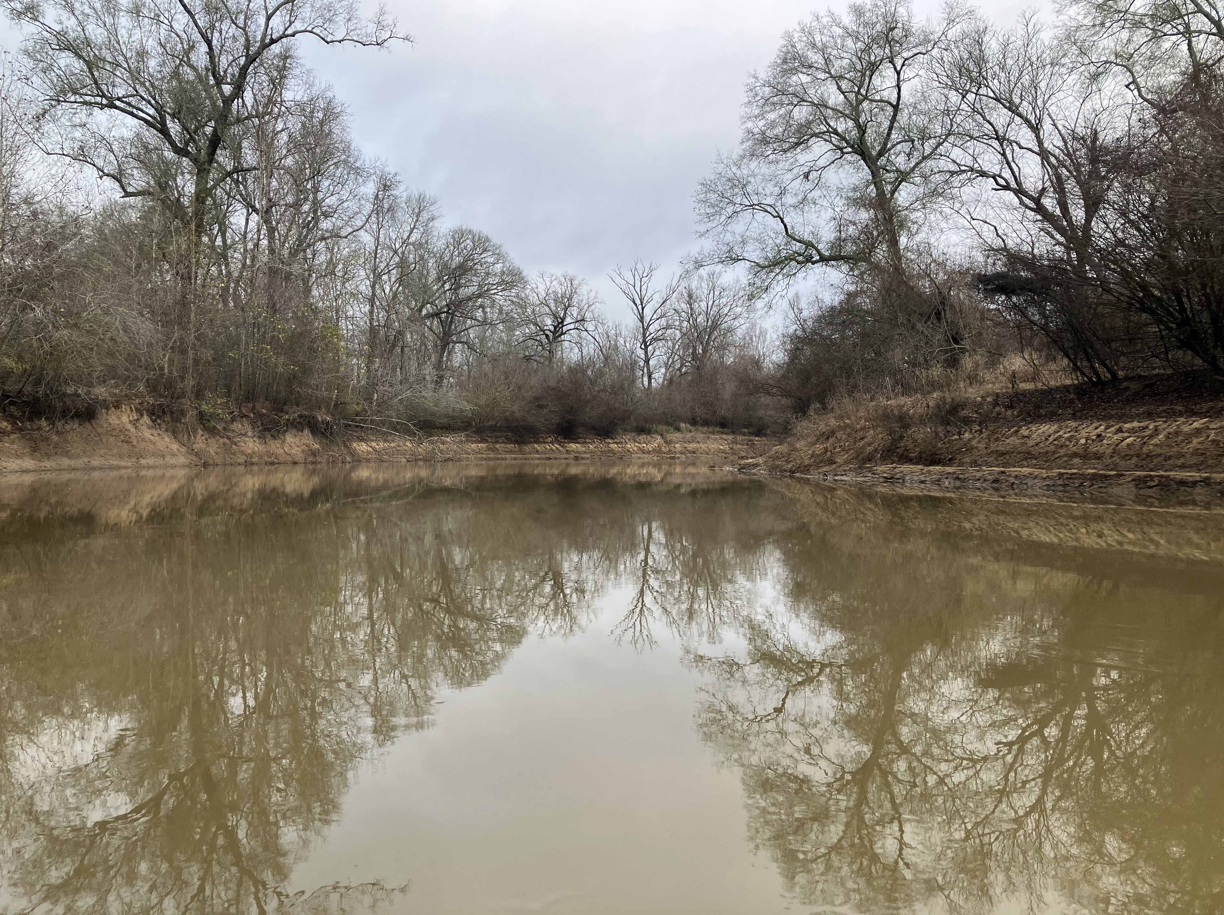
Above: Neches River look in winter.
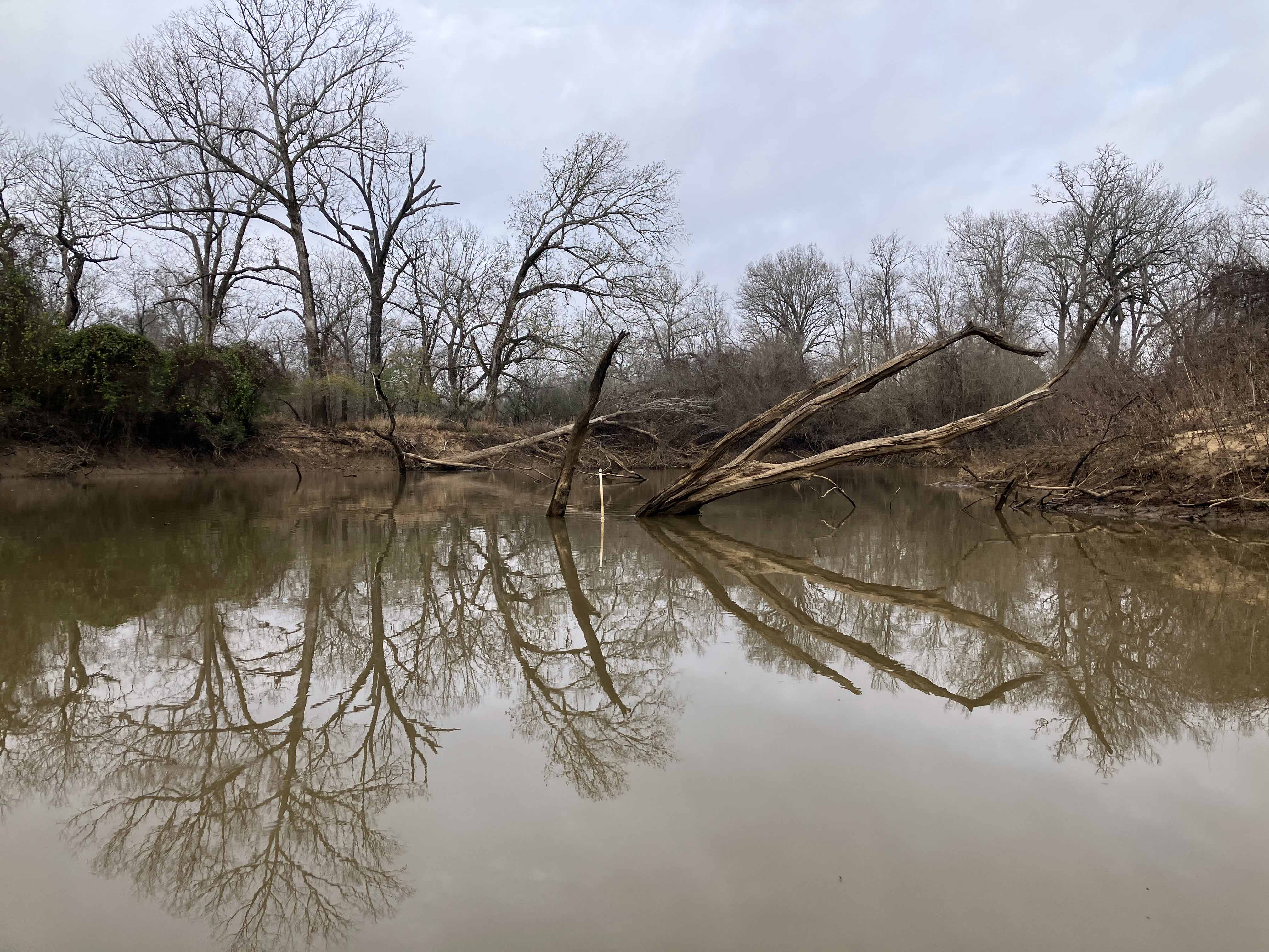

Above: Huge pine across the river. At this level the boat could go under.

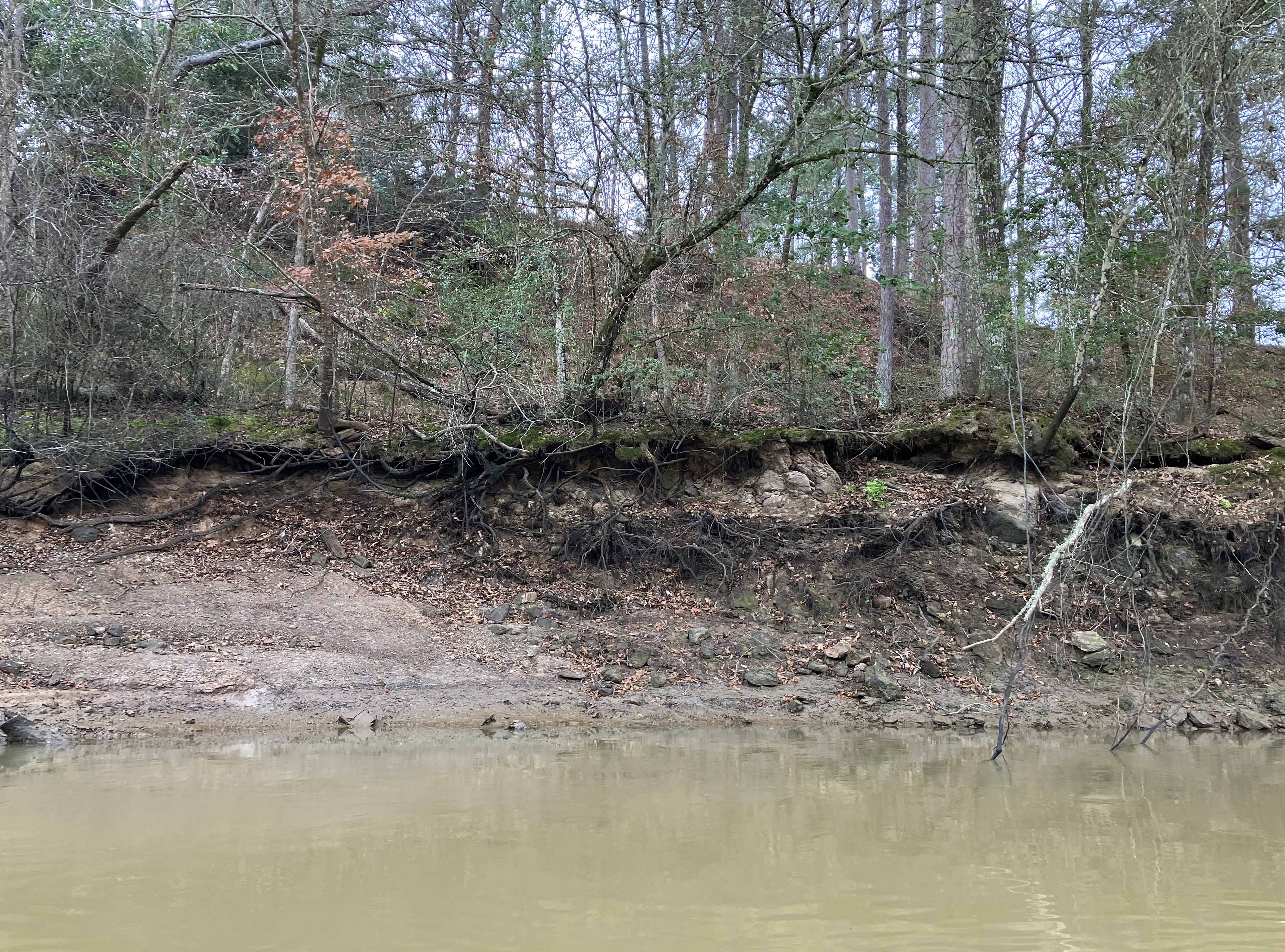
Above: Turnaround spot.
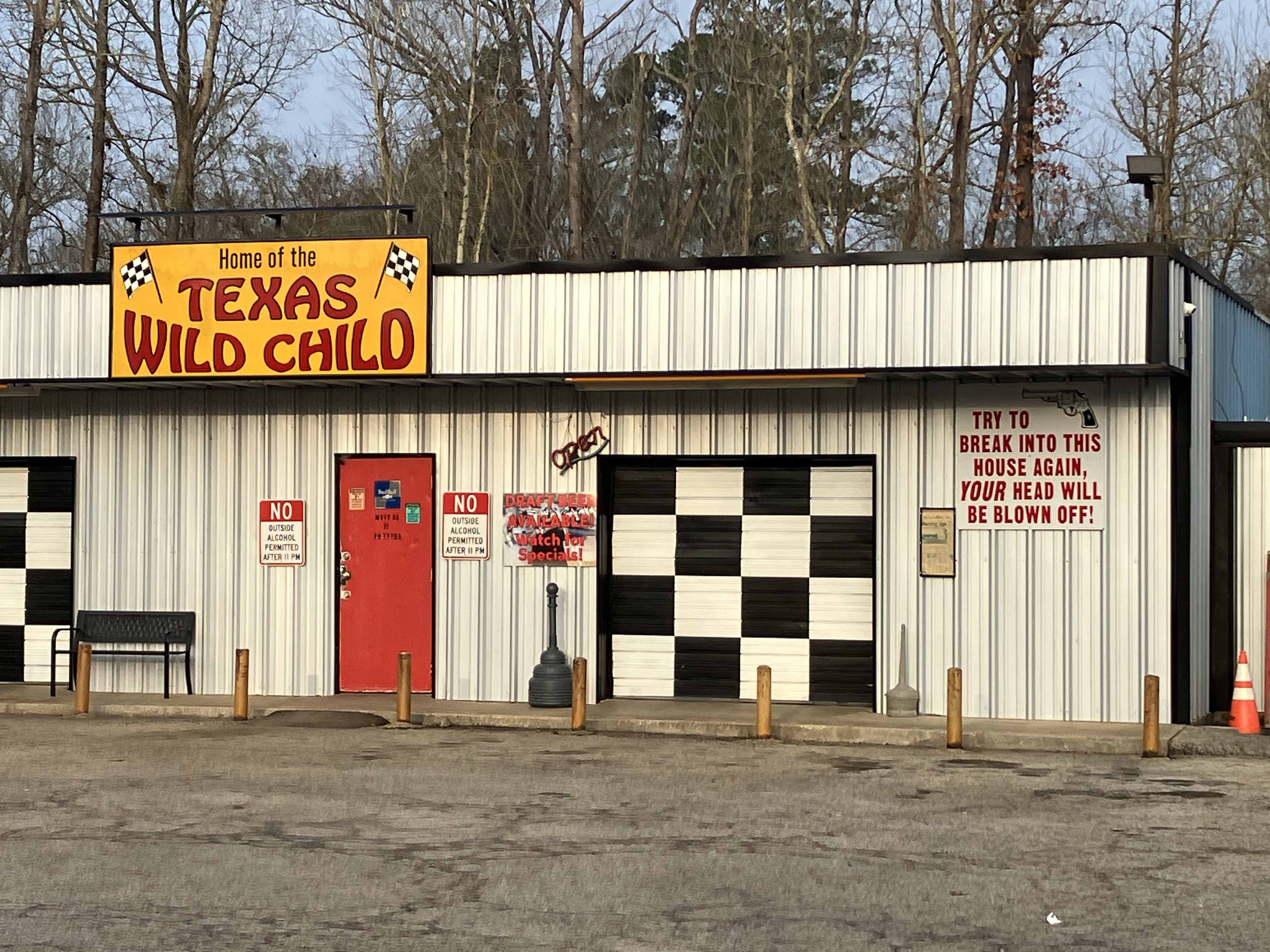
Above: Bar along Highway 94, this one with a warning. There is also a newspaper clipping posted, I will have to read it next time I’m here.