Neches River, Holly Bluff Launch, Alabama Creek WMA, up
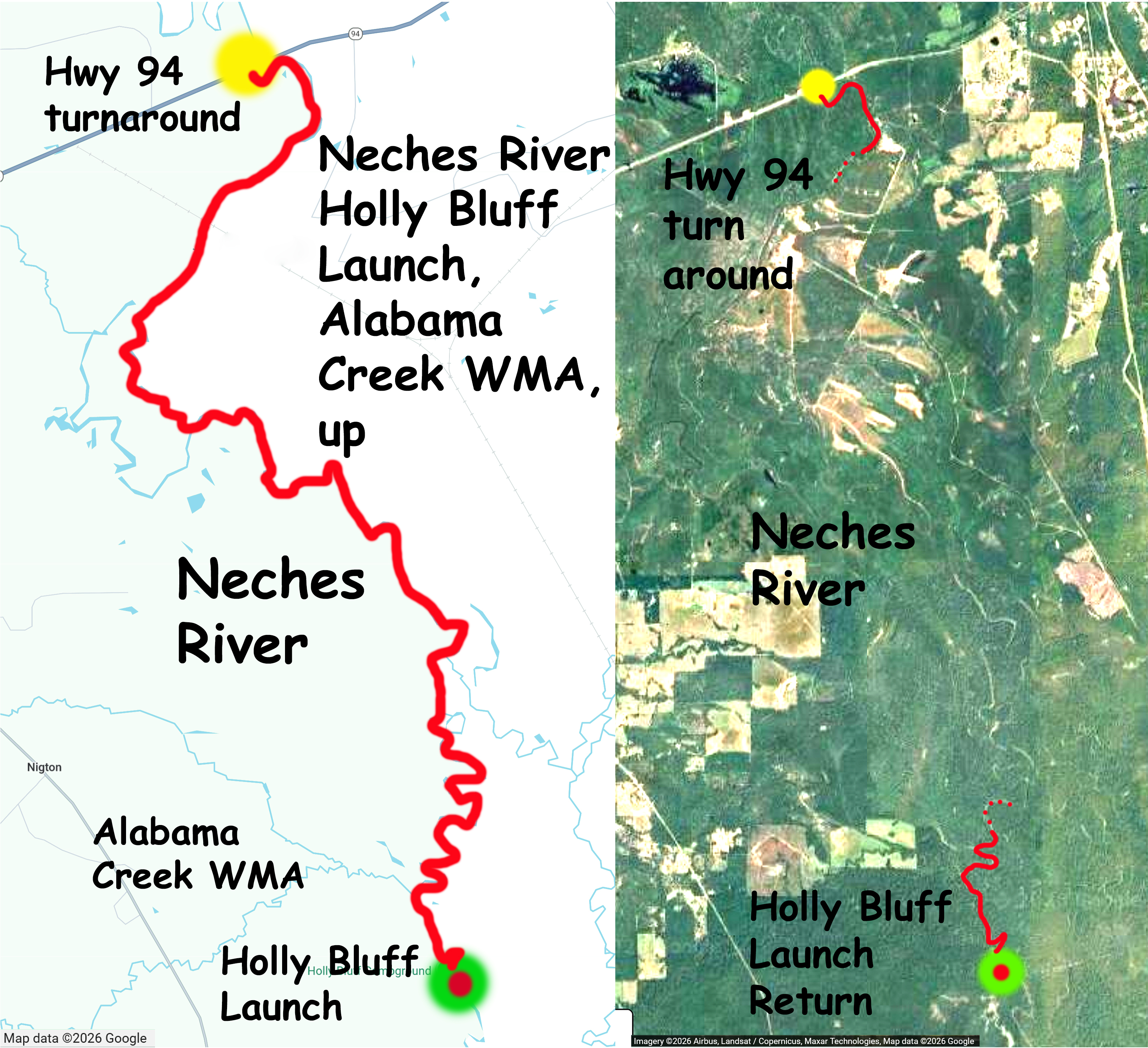
Kayak route trail map on the Neches River starting at the Holly Bluff (campground) Launch, down Holly Bluff Road off of 2262 and just southwest of Lufkin Texas. Cold winter morning, bit of a north wind, but sunny with some nice sky. Route goes up to the Highway 94 turnaround and back, about 22 miles round trip, three hours up, two hours back. The river is pretty wide here, especially further upstream, and it was not necessary to get out to portage any log jams–unlike every other section of the river so far. One log did span the river and was an inch or two above the water, but ‘ramming’ and ‘scooching’ got me over. For the first mile going north (and a ways to the south as well) the river borders the Alabama Creek WMA, and there is a nice campground area near the launchsite. Couple of tents were up on this cold Saturday morning. Further upstream the banks of the river are more cleared and less woodsy, but all in all this is a nice section of river, and pretty easy. USGS flow rate on the Neches measured 575 cfs at Hwy 7 and 635 at Diboll. Bit of current but not bad.
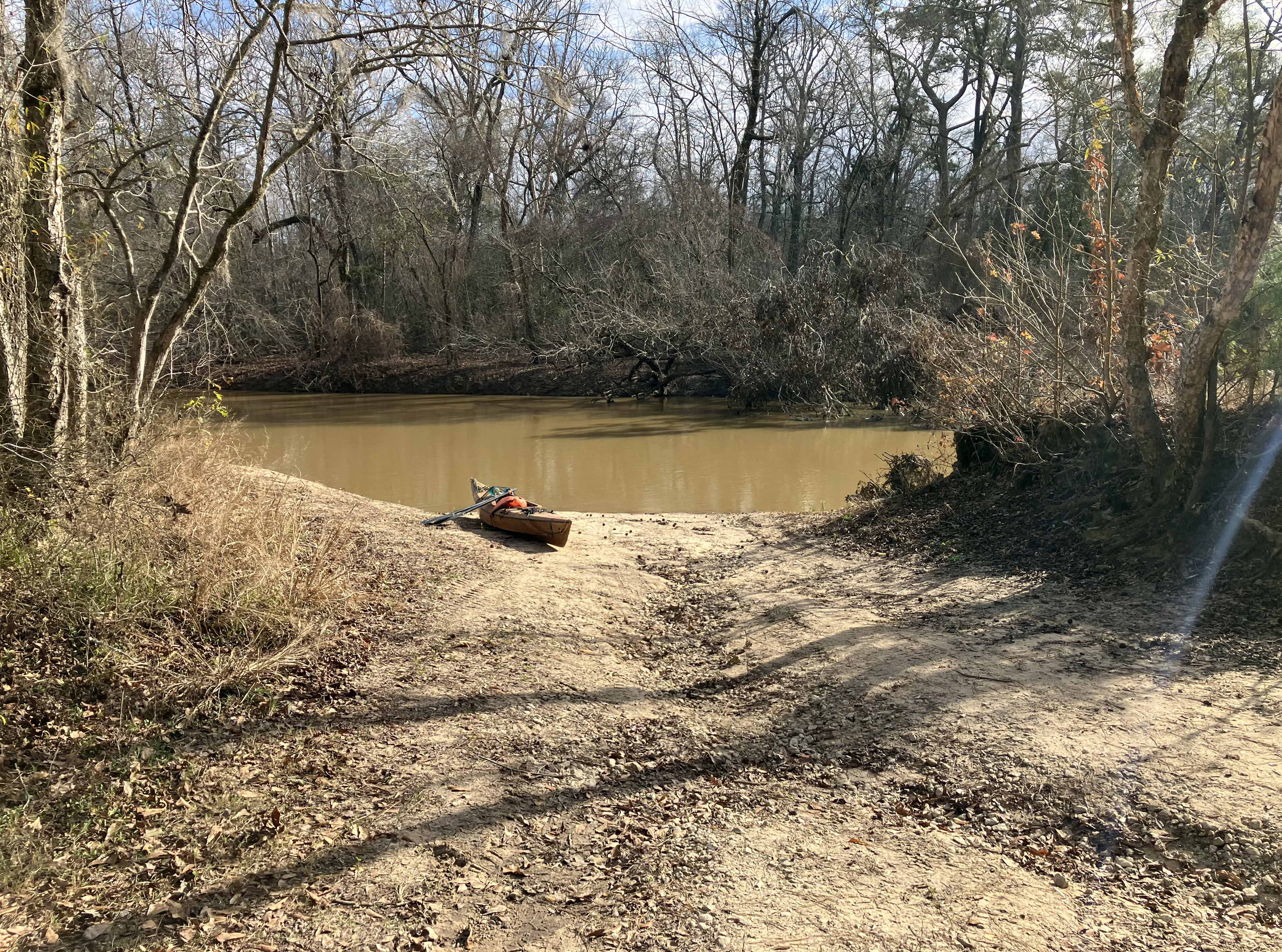
Above: The Holly Bluff launch in the Alabama Creek WMA.
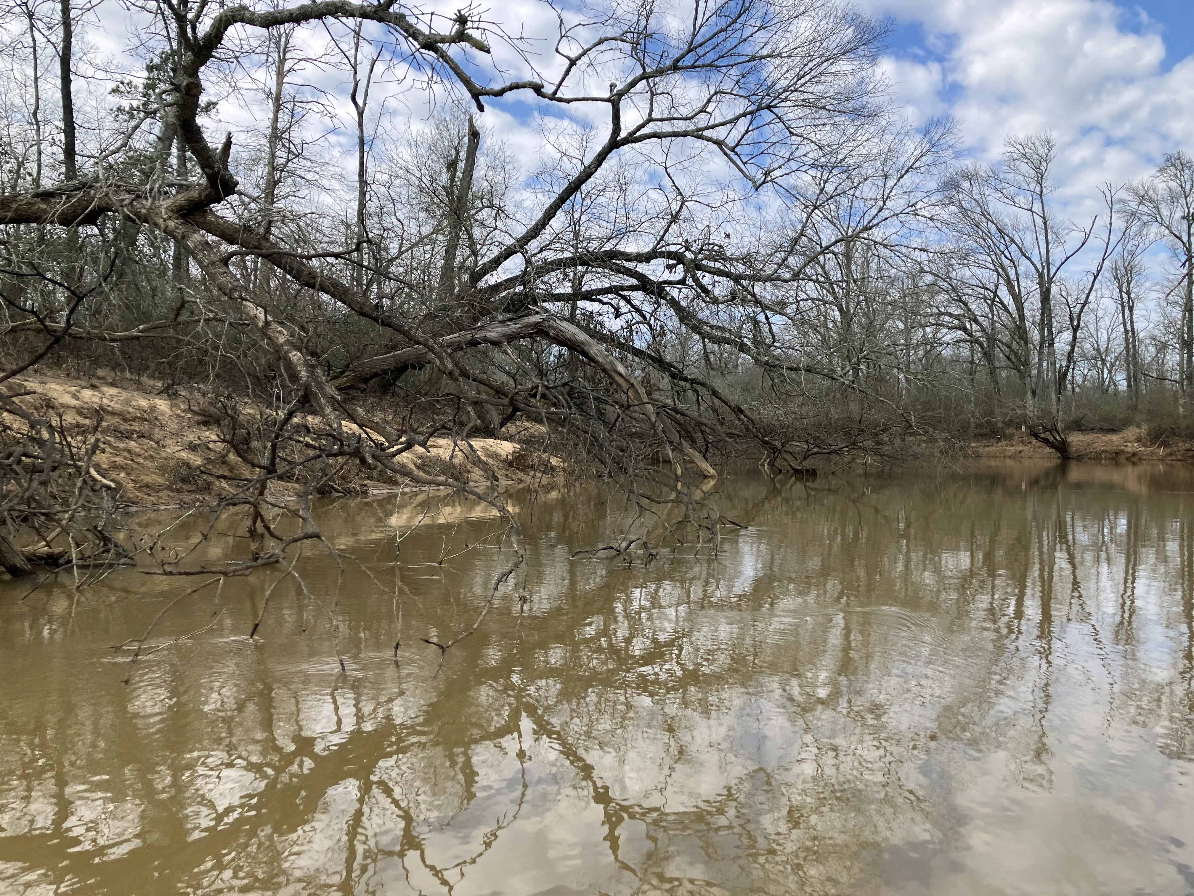
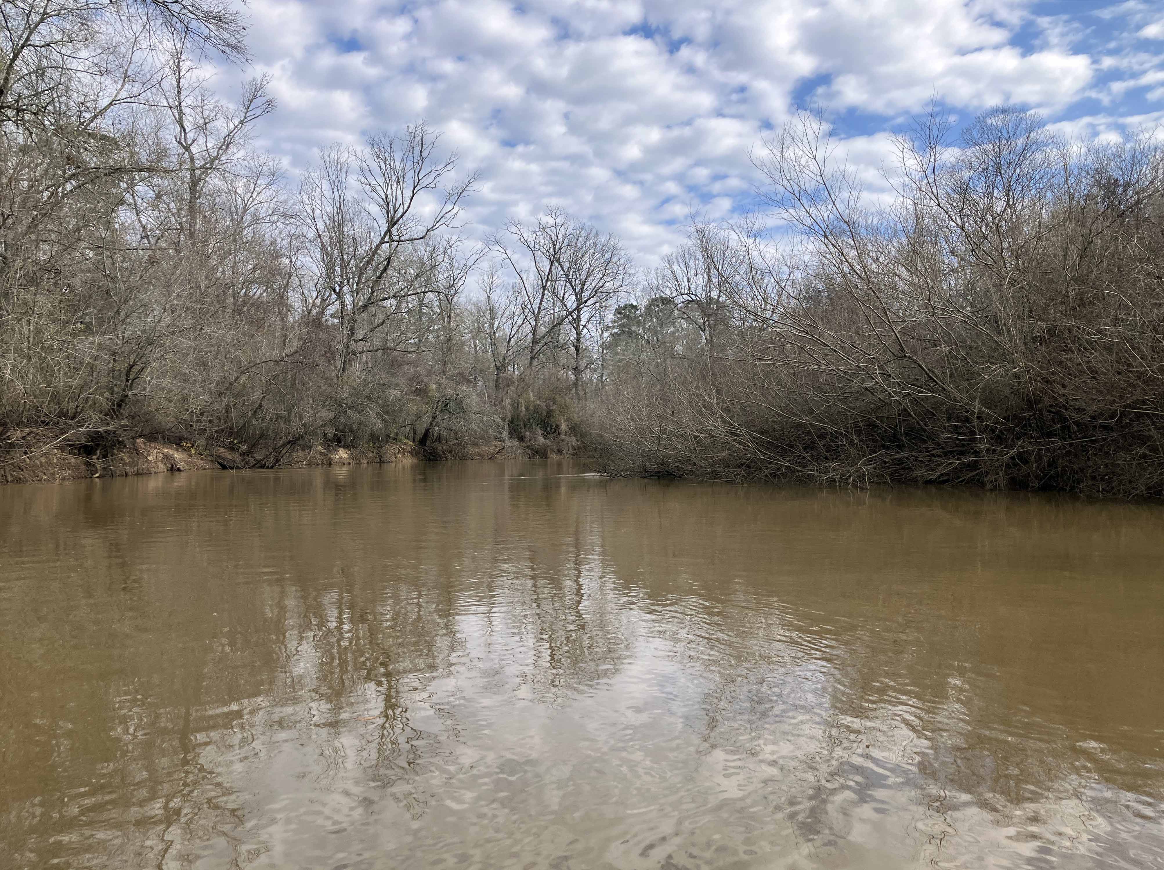
Above: Bare trees and sticks on the Neches.
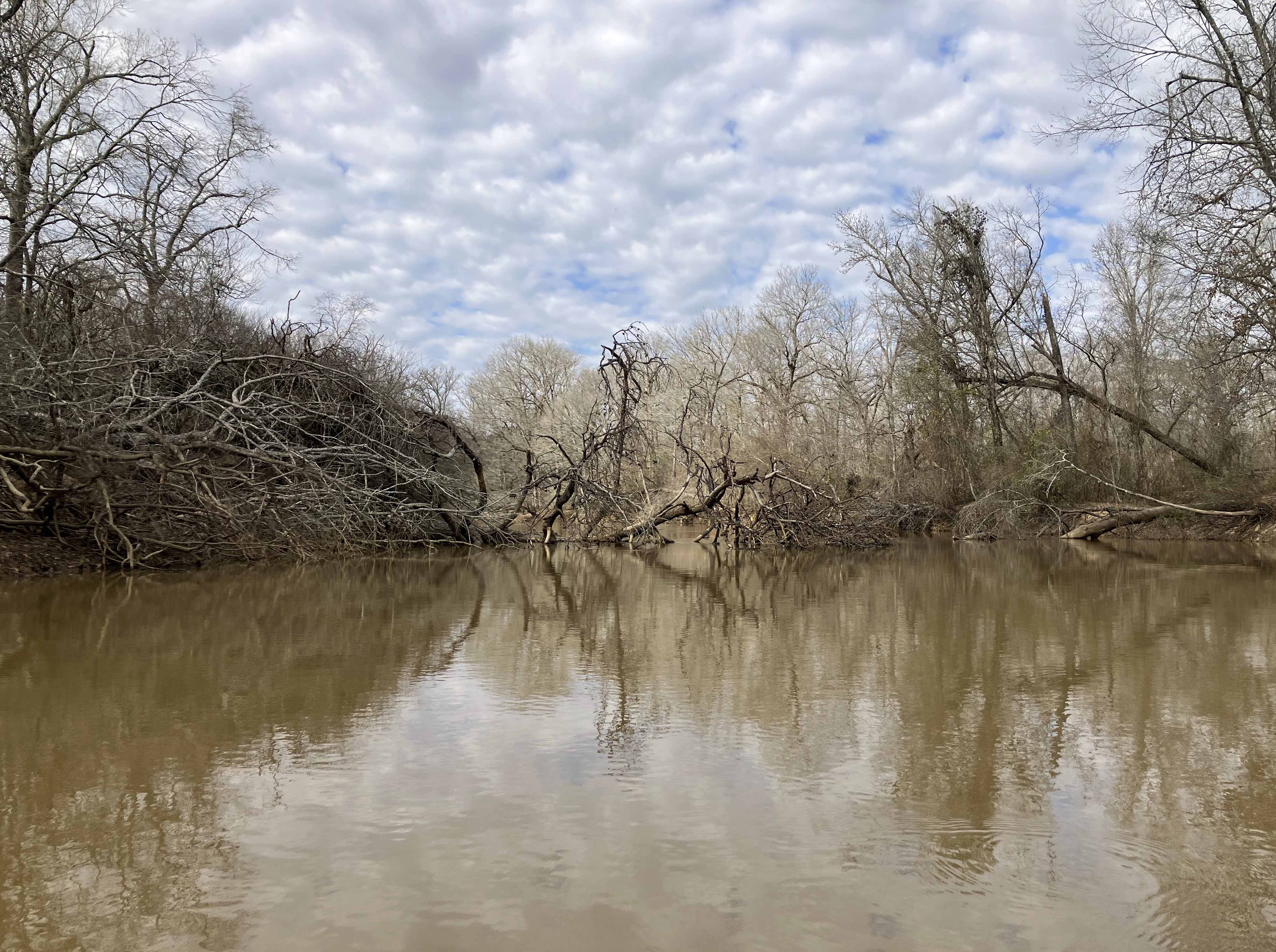
Above: Winter paddle.
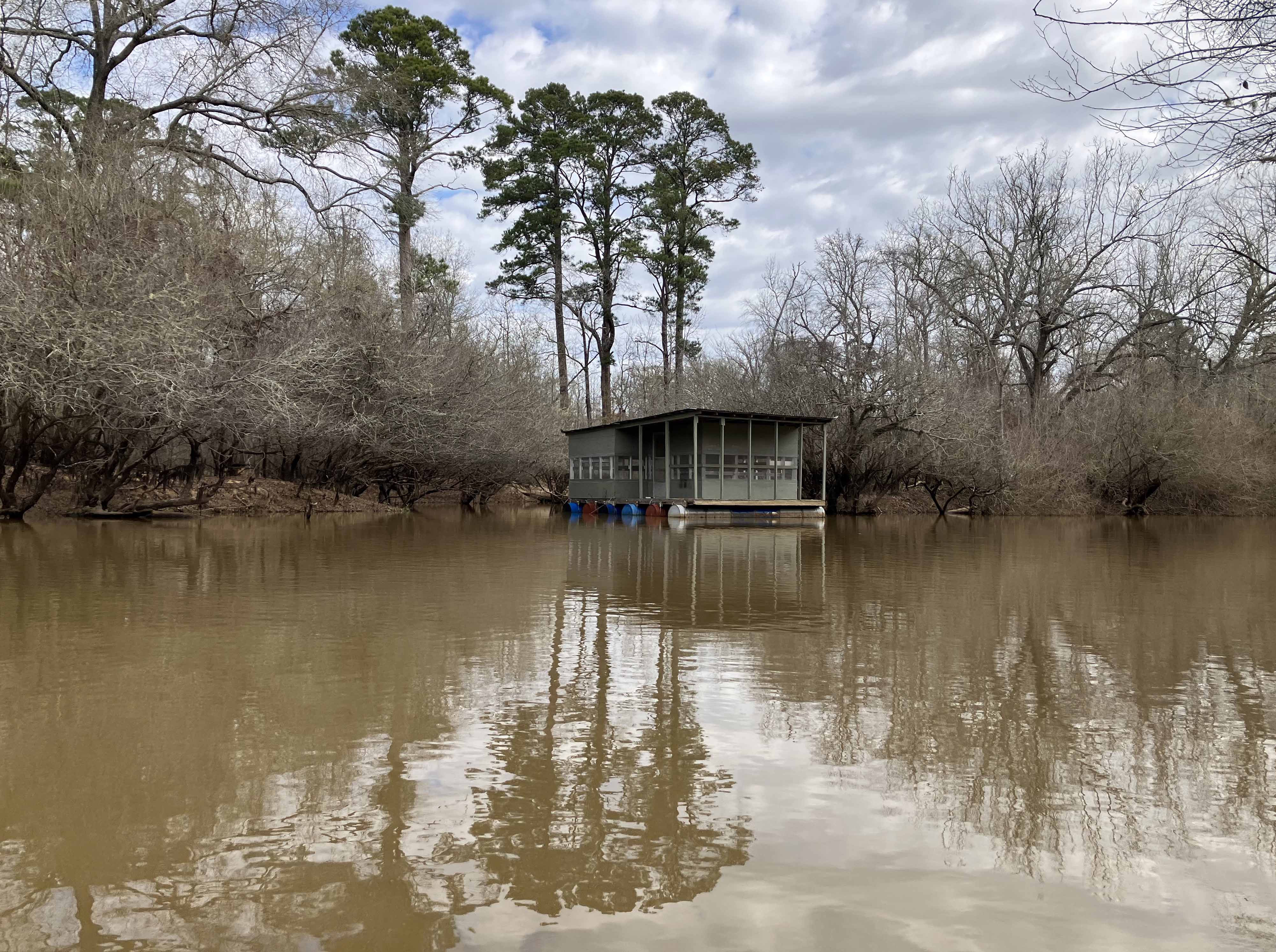
Above: A houseboat along the way.
Above: Winter forest reflections.
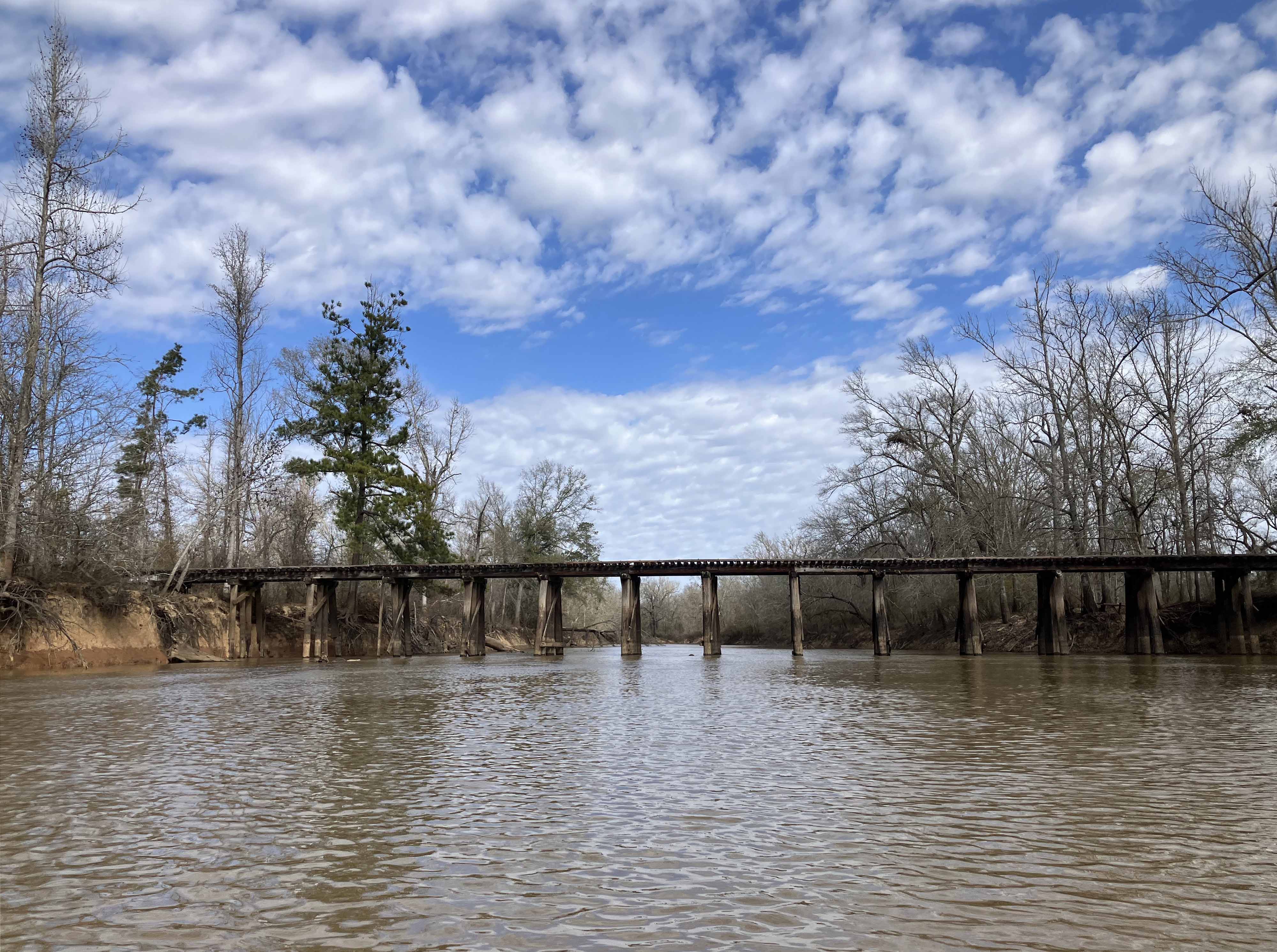
Above: Old railroad crossing, maybe a mile or so south of the Hwy 94 turnaround.
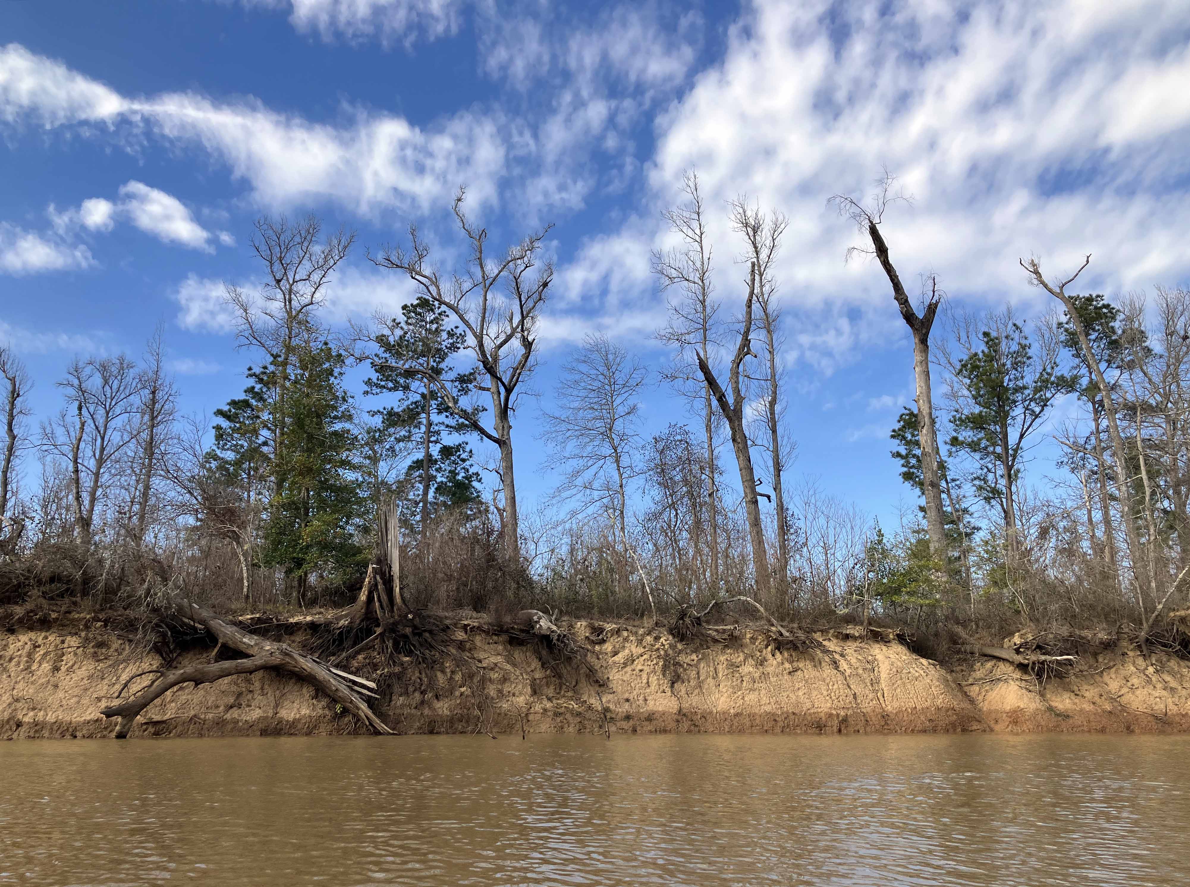
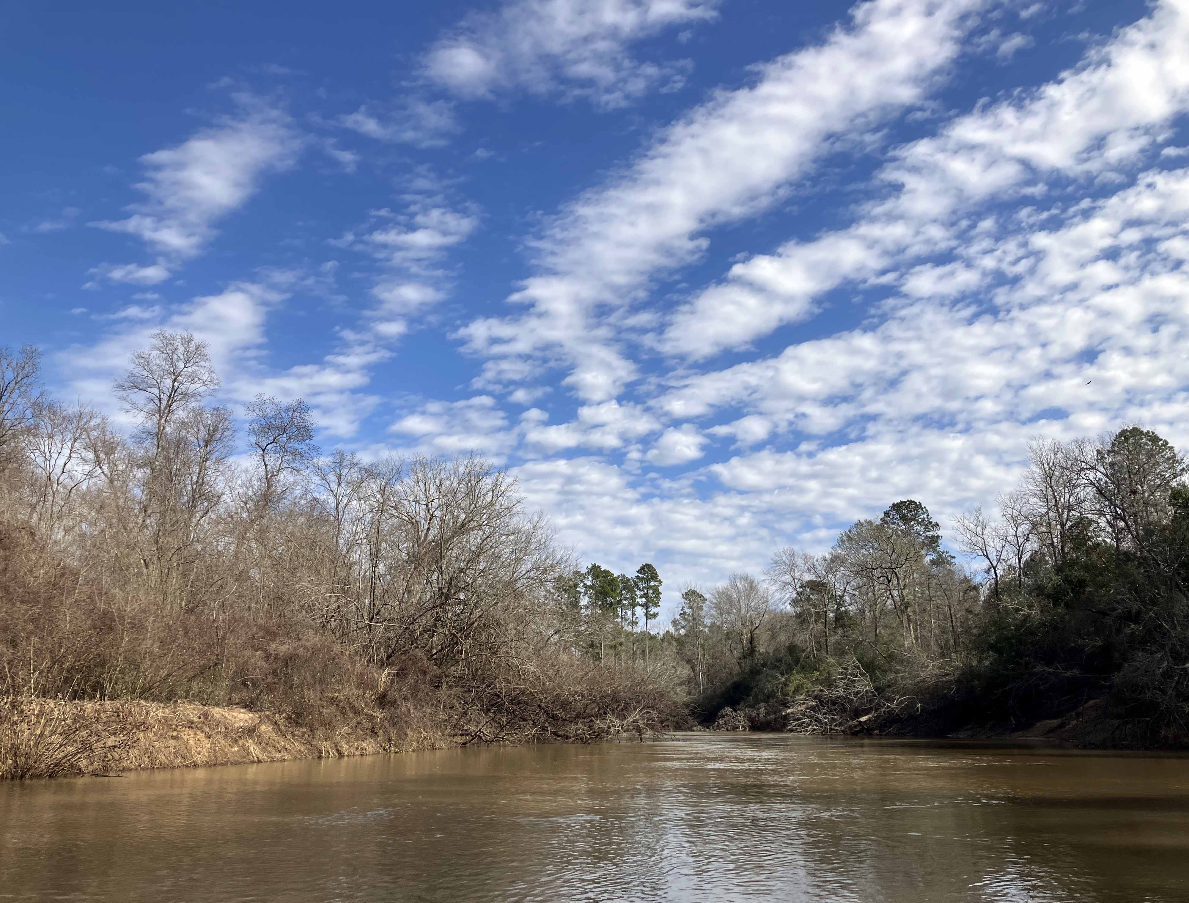
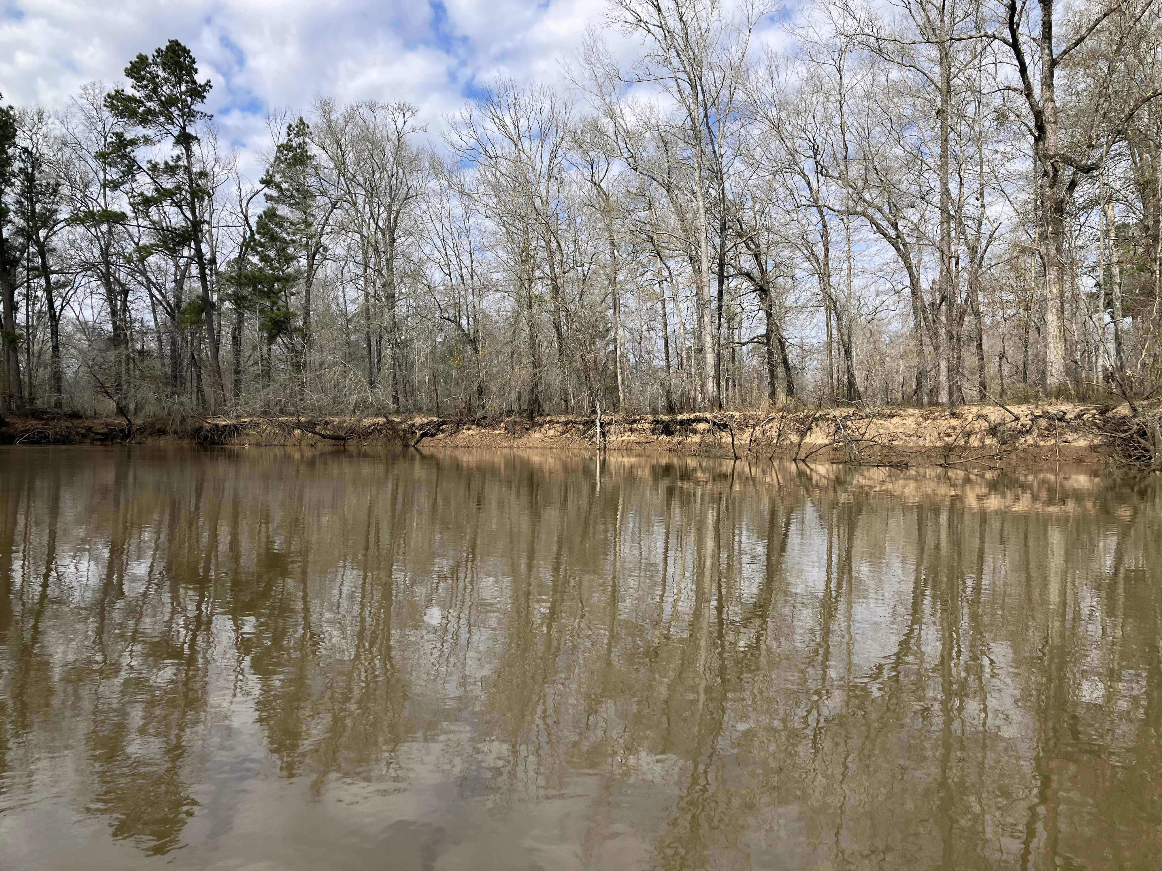
Above: An open section of riverbank makes a nice contrast to the sky.