Neches River, Hwy 79 Launch, up
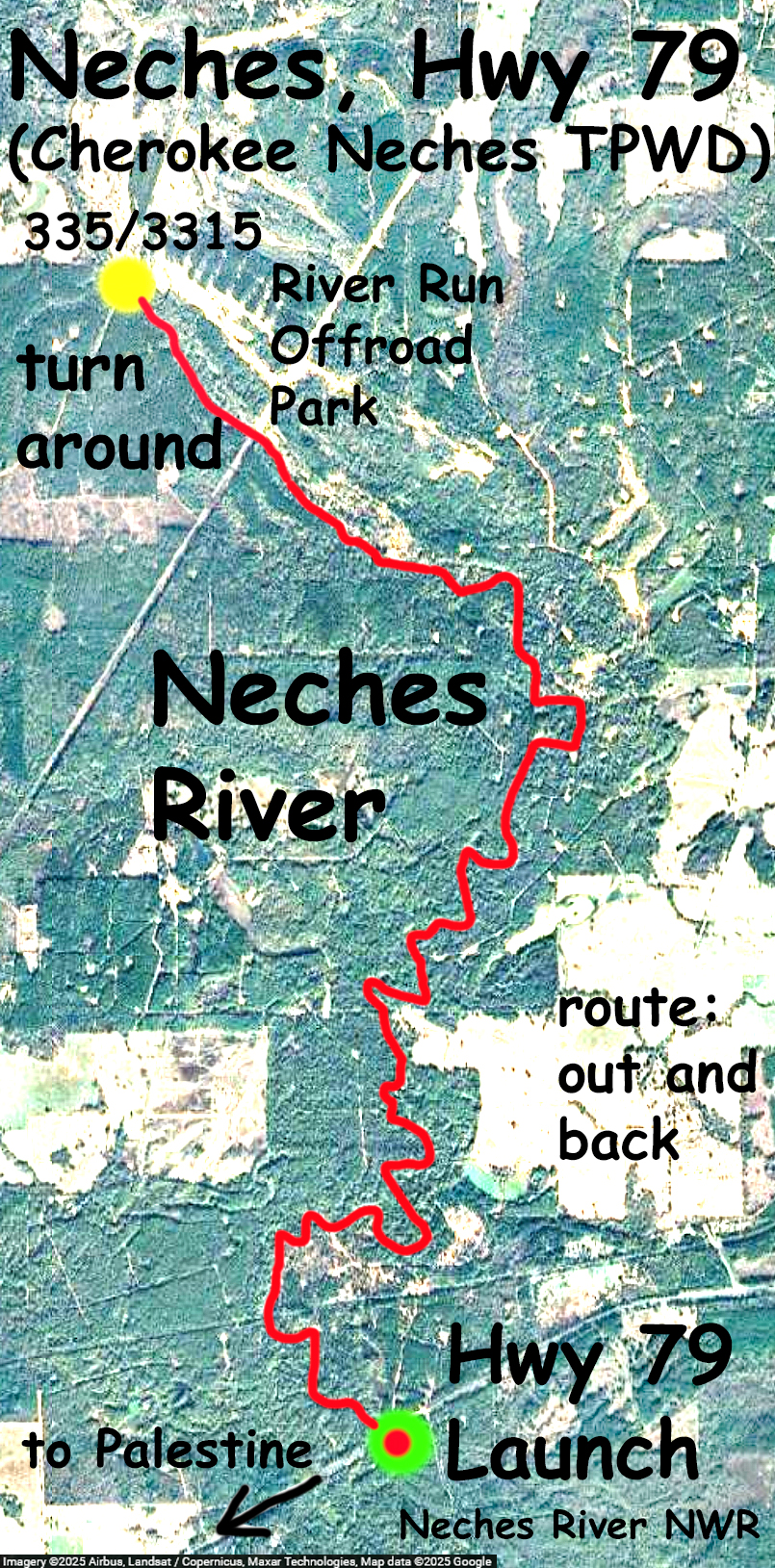
Kayak paddle trail route map on the Neches River near Palestine, Texas. The route here starts at the Highway 79 put in, goes upstream to the 335/3315 bridge near River Run Offroad Park, and returns to the launch. The route is the same as the “Cherokee Neches” trail on the TPWD paddle trails site. That one is a point to point, north to south, going one way downstream. Nice fall paddle, clear weather and cool. There was quite a bit of fallen tree debris in the river but only two or three spots required ‘get out of the boat’ workarounds. The rest could be solved as little paddling puzzles, over, around, under, etc. Or by scooching, the unh unh unh to get off of a high center, there was quite a bit of that. The turnaround point, about 6.5 miles up, is the bridge near the River Run offroad park. Across Highway 79 is the Neches River NWR; a dirt road leads into the refuge and there are several nice hiking trails. Didn’t see much wildlife on the paddle this day, but the scenery was great. The USGS gage Neches Rv nr Neches read about 120 cfs, mild current. It took about 2 hours to go up and an hour and a half to get back.
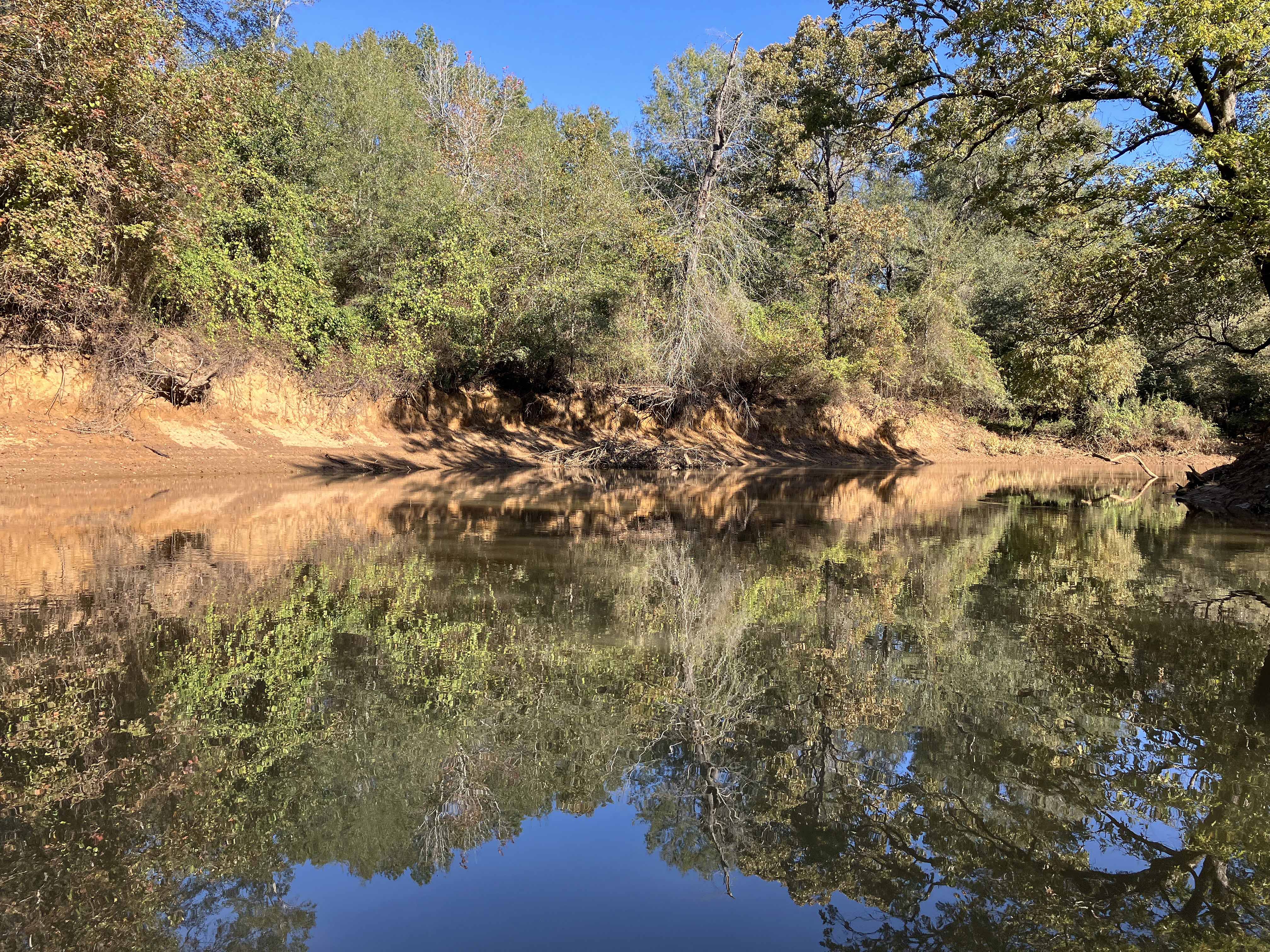
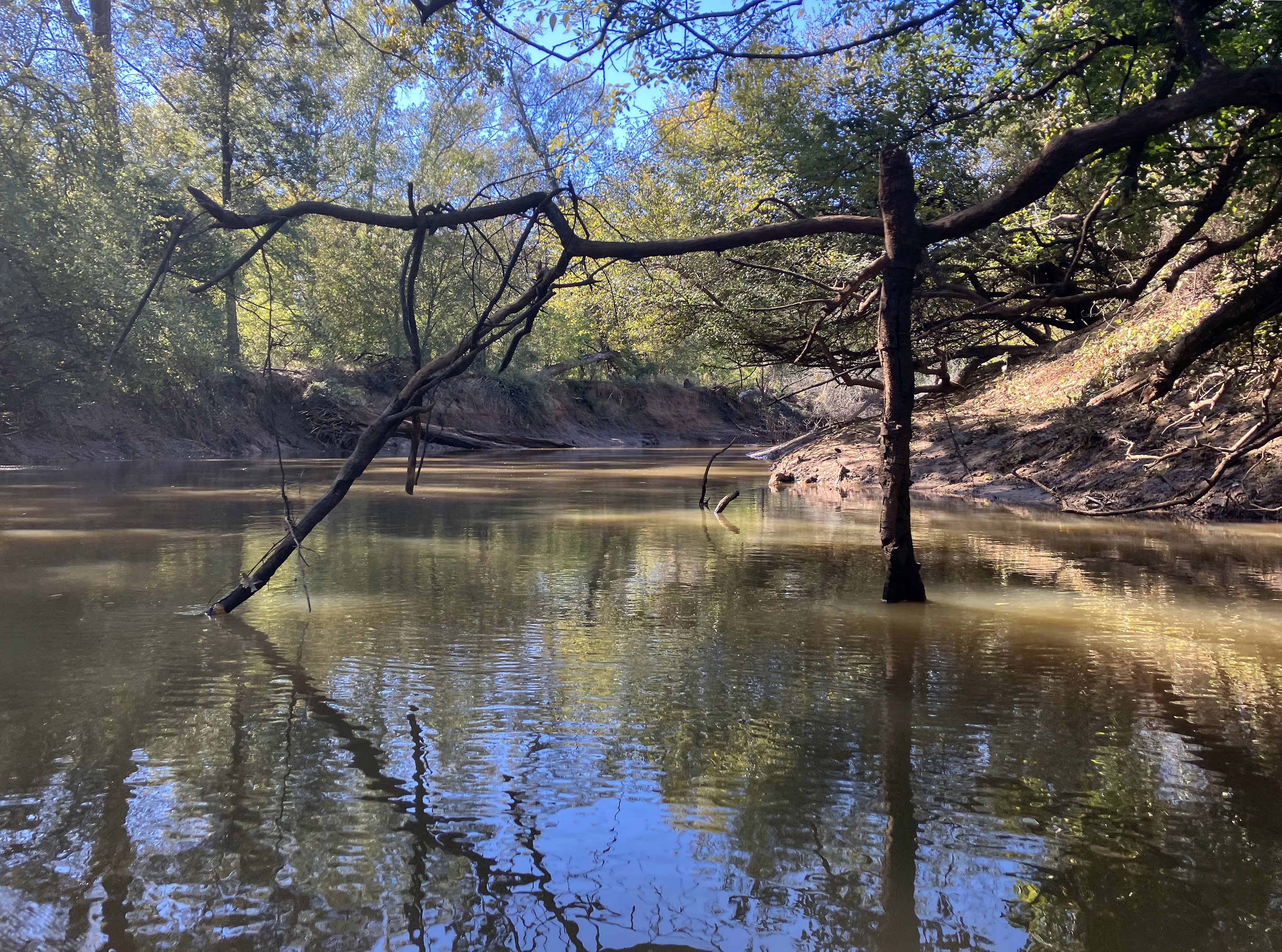
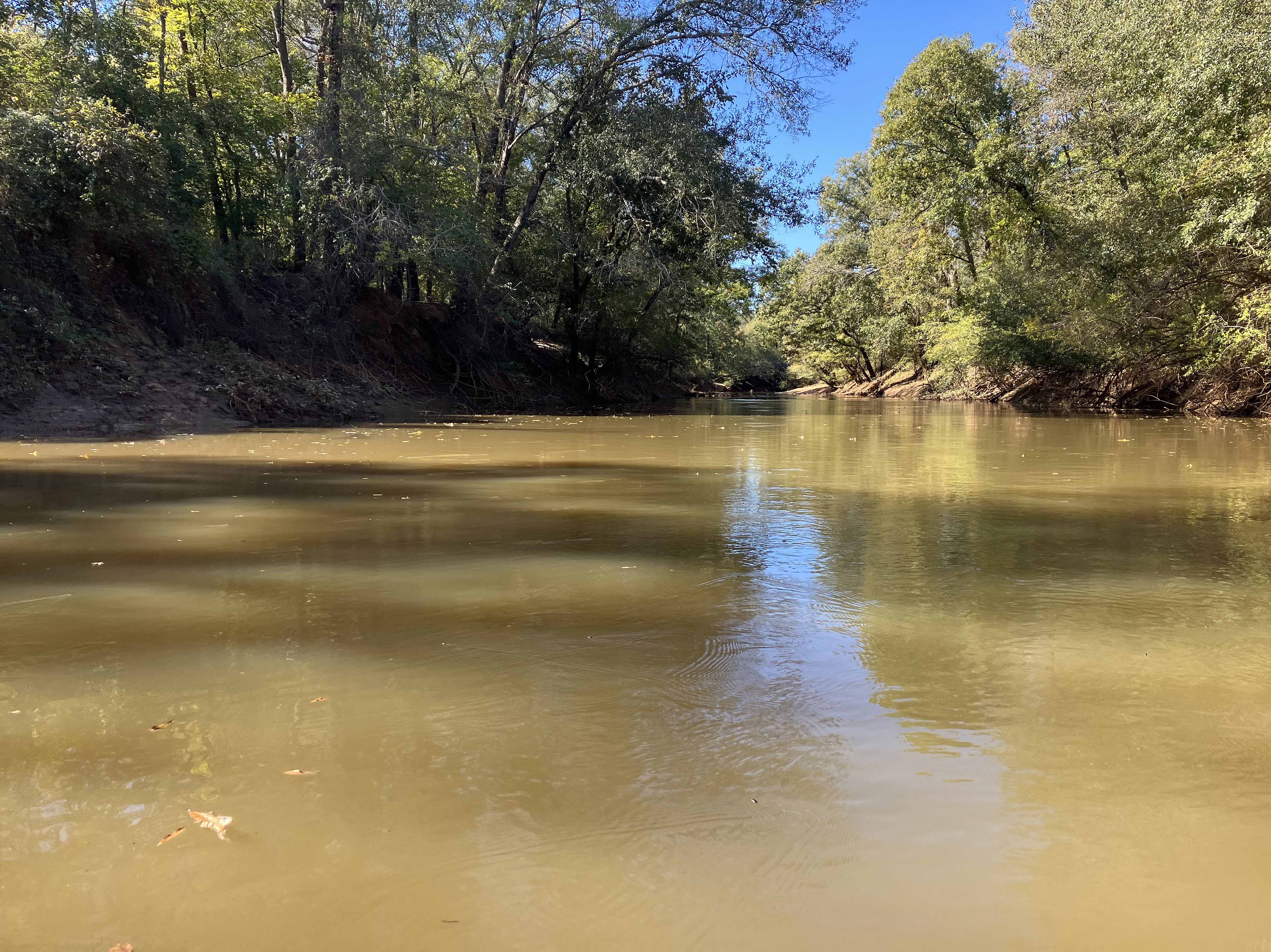
Above: Nice.
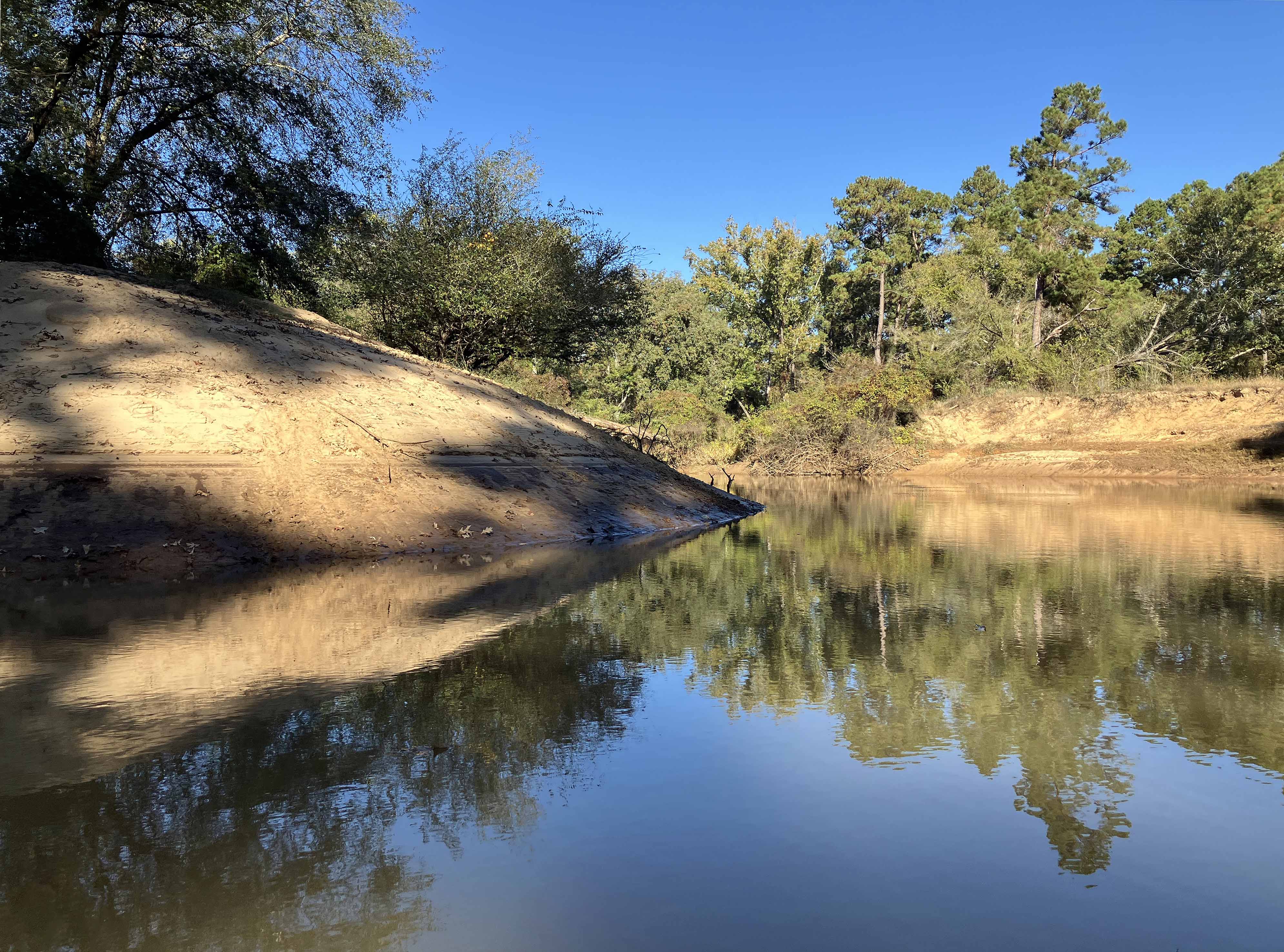
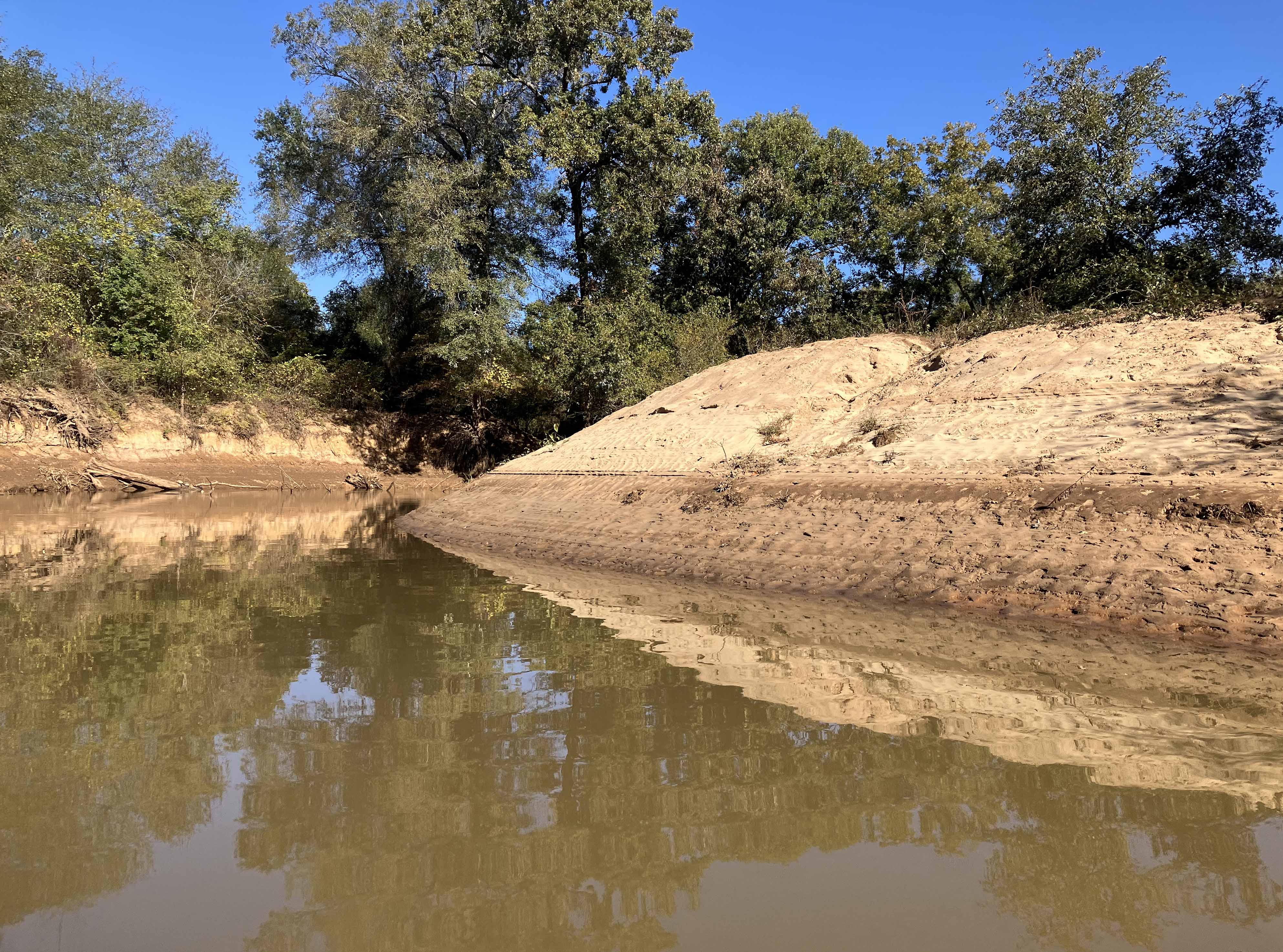
Above: River turns to the left.
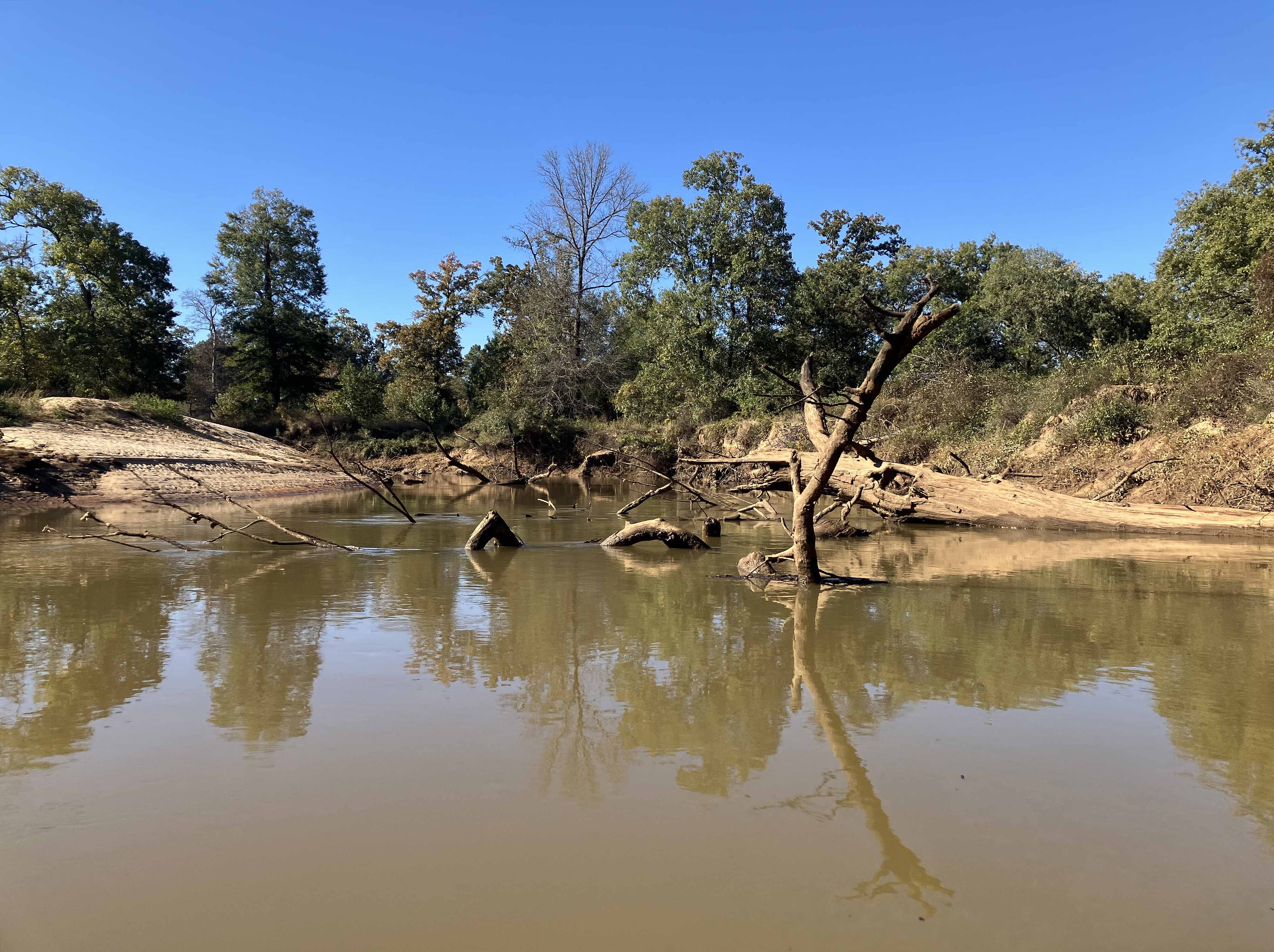
Above: River turns to the right.
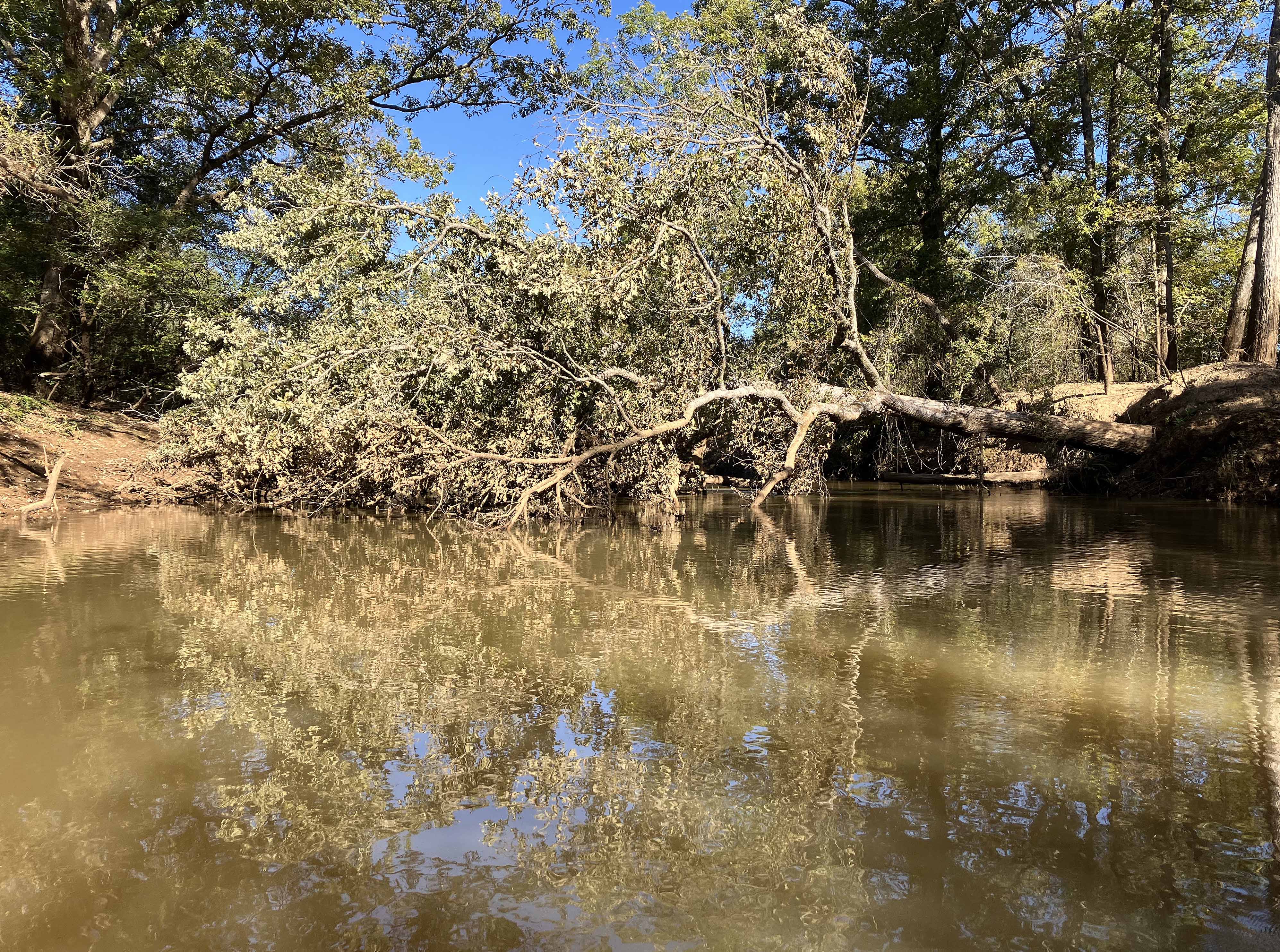
Above: Log field.
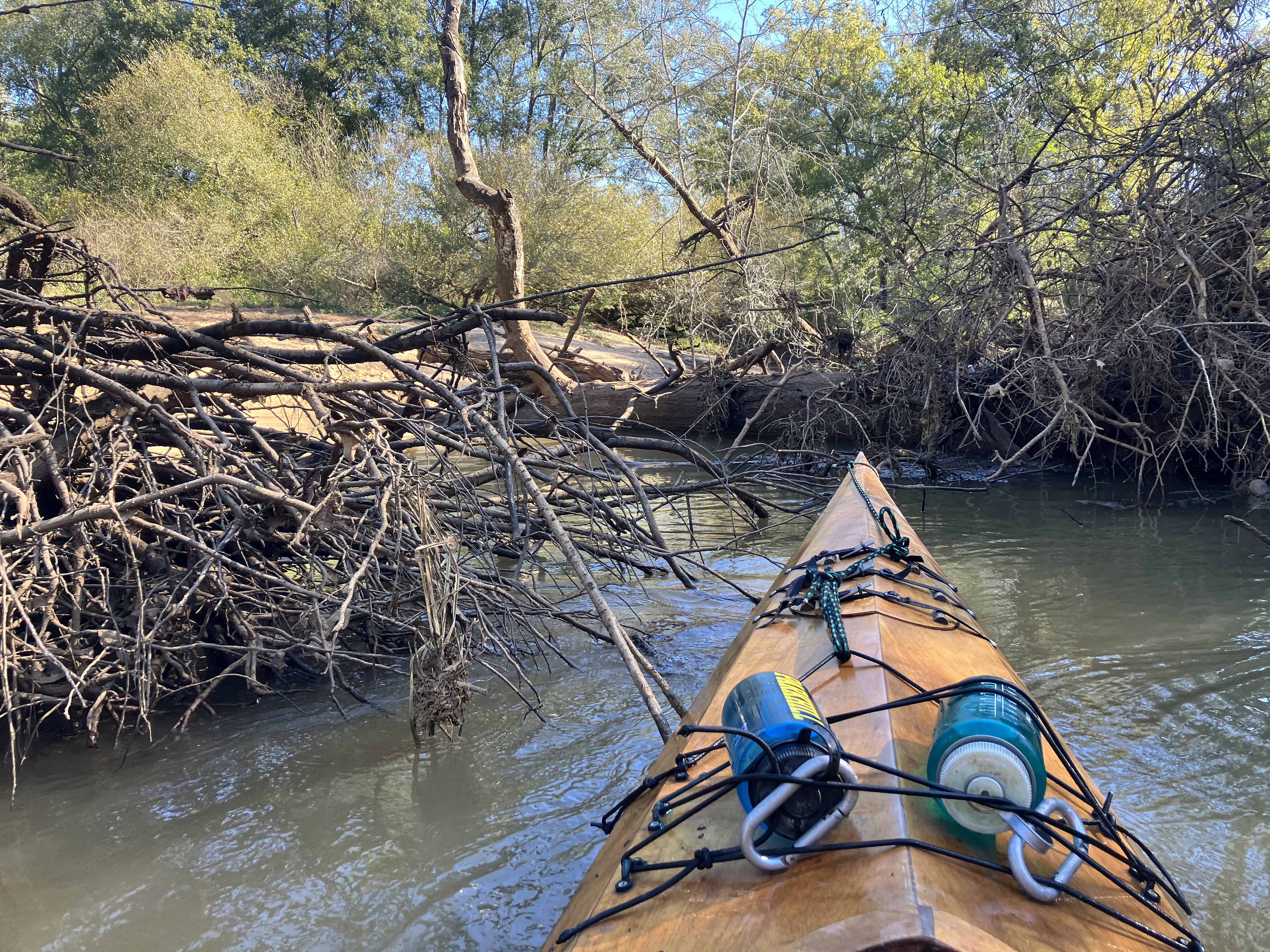
Above: Some pushing through was needed, up and back.
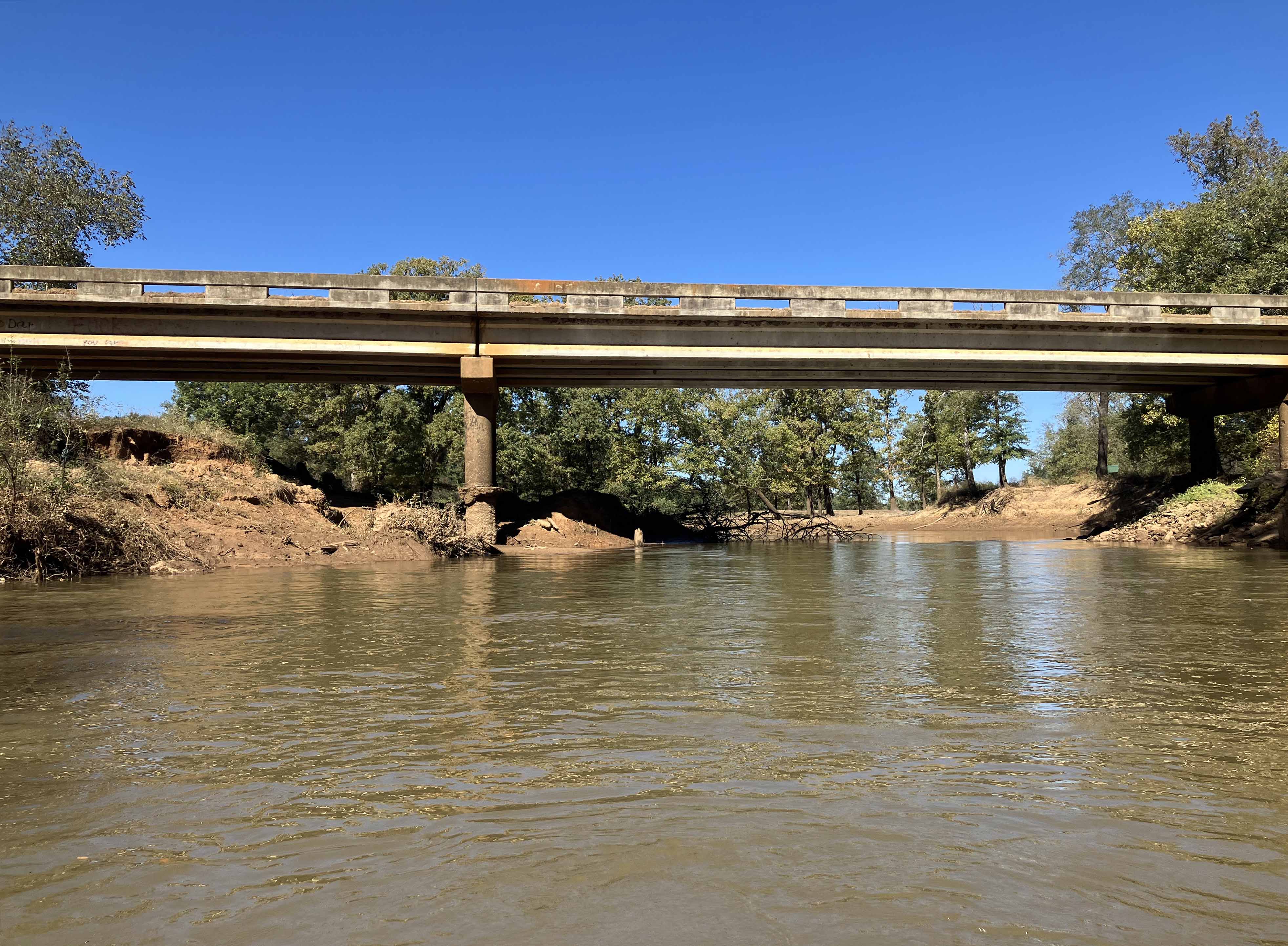
Above: The 335/3315 turnaround bridge at River Run Park.
