Sabine River, Hwy 14 Launch, Tyler
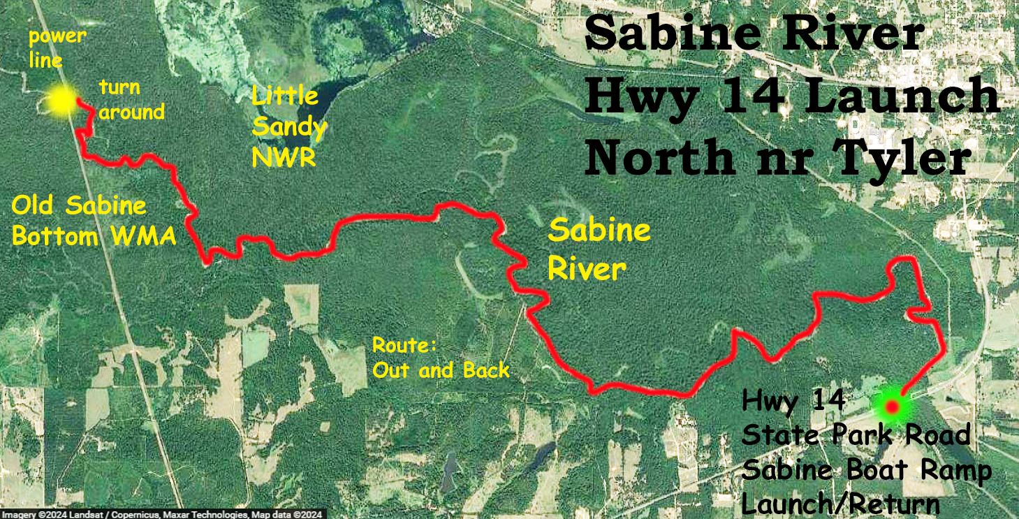
This kayak route starts at the Public Launch on Highway 14, aka State Park Highway, north of Tyler, TX and a bit past Tyler State Park. The route is an out and back going north and west–upstream first and downstream coming back. This trip took two days…I drove out from Dallas one day, took about two hours. While unloading the boat I realized I forgot a paddle (a self-critical moment for sure). A while earlier I had done a trip where I had to pull the boat up a steep embankment. After this effort evidently the paddle got left behind. So I drove from the Sabine Launch to the Cumberland Cut Bridge to see if it was still there, it was an expensive paddle. It wasn’t there. So the next day I drove out to the Sabine River launch to do this trip, this time bringing an old paddle. Two days.
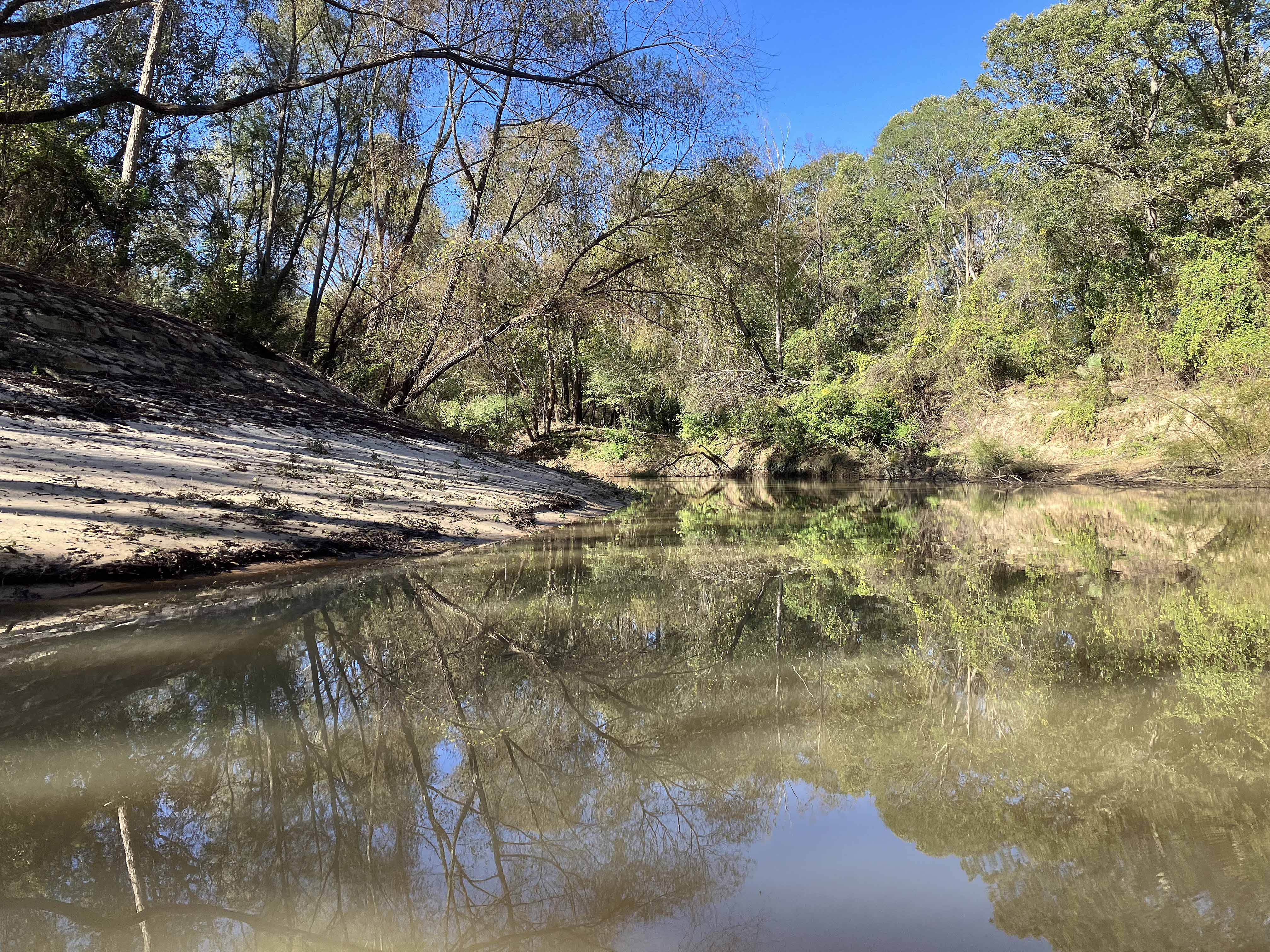
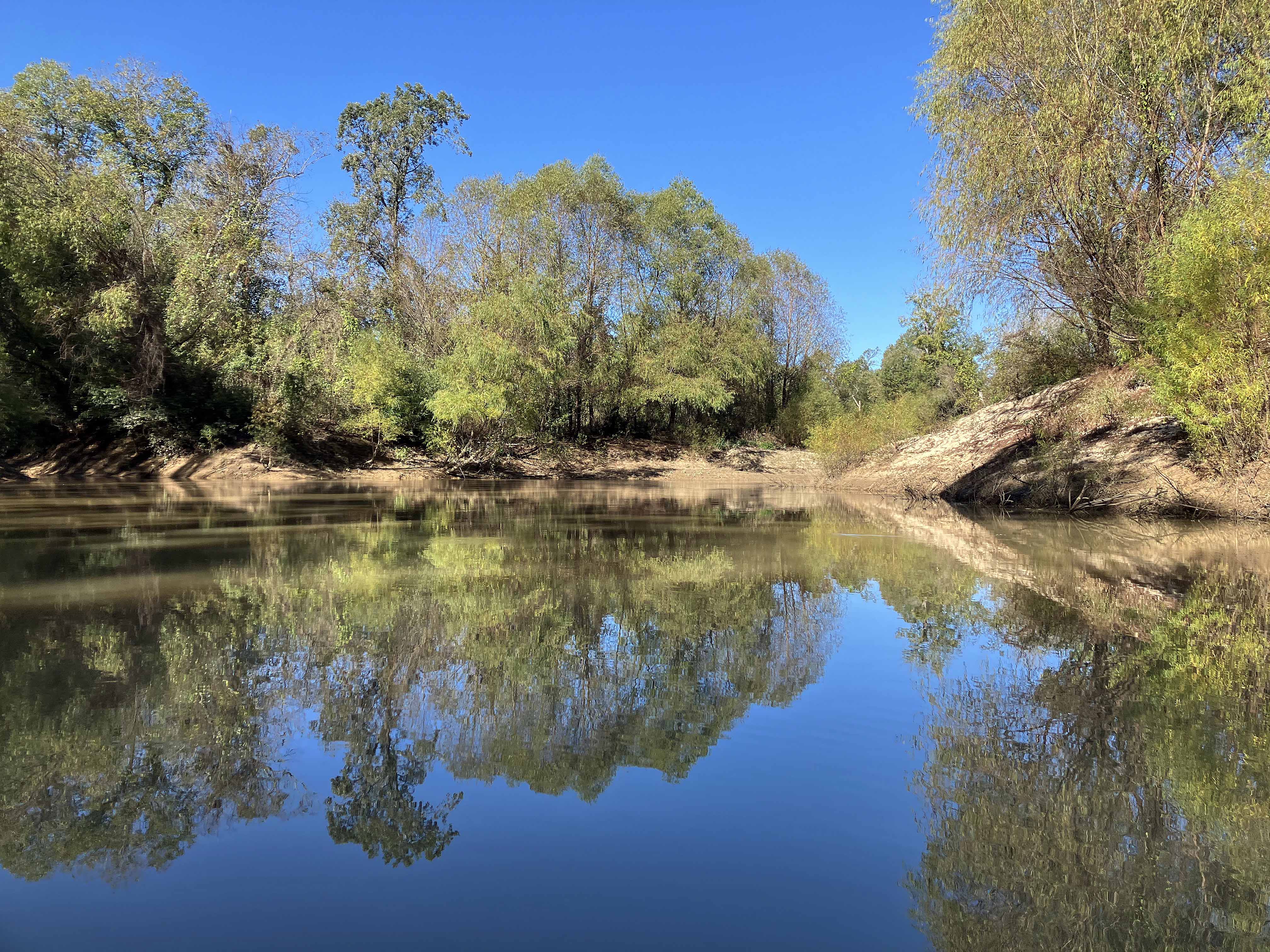
The Sabine RIver at this location is a great trip, it winds around in and around the Old Sabine Bottom WMA and the Little Sandy NWR area and is wooded and scenic with high banks. Notable animals seen: pig, deer, turtle, alligator gar, four humans. There are a few houseboats along the river but only one was occupied. Some of boats have names, “Sabine Princess”, “Shift Change”, “Free Beer Tomorrow”, kind of clever. The Sabine River at Hawkins was about 145 cfs, plenty deep and mild current. Except near the turnaround where some portages were needed, most of the log falls had been chain sawed clear. I thought by satellite map the turnaround was a railroad crossing but it’s actually just a power line cut.
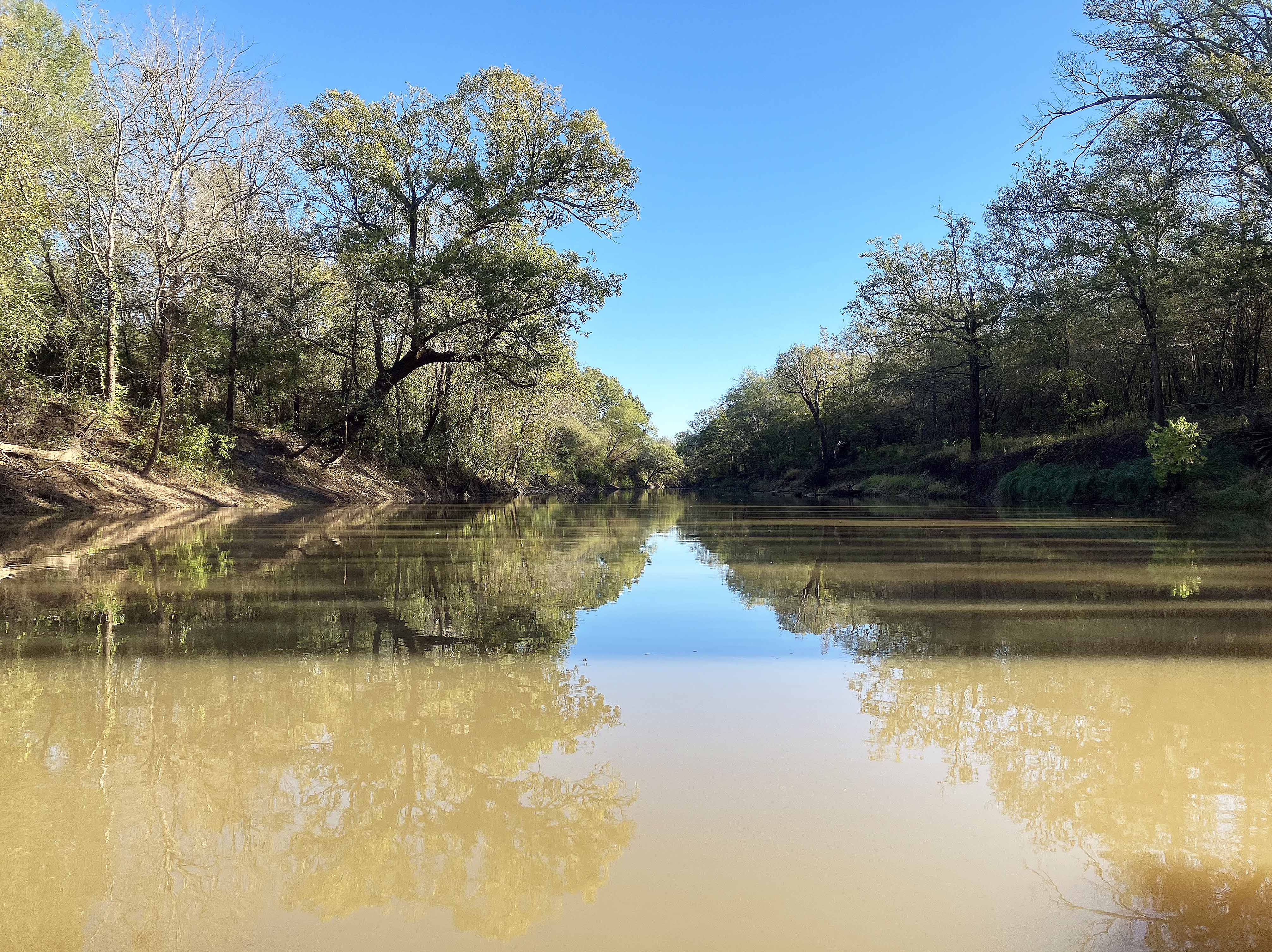
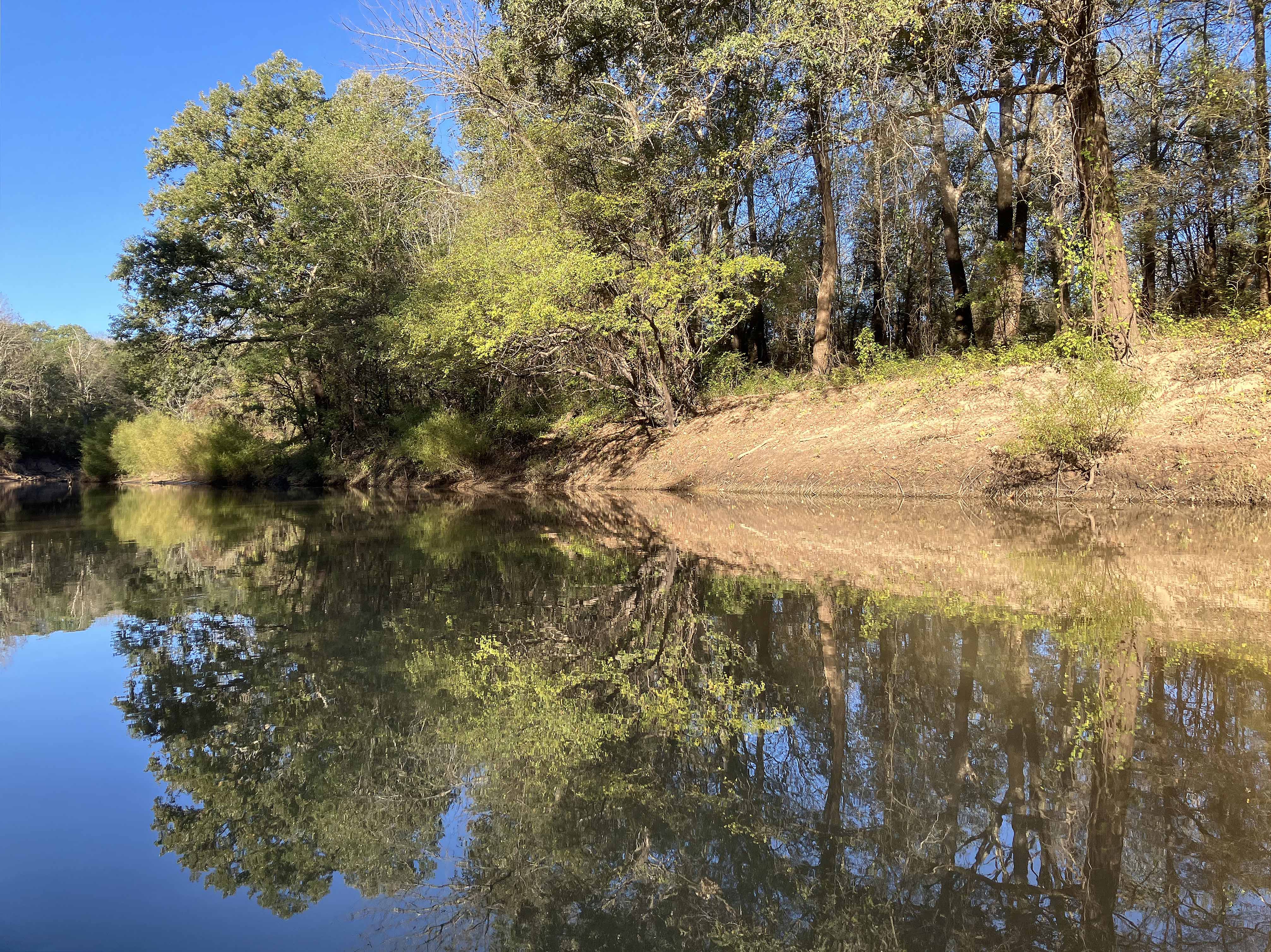
Above: Nice view of the Sabine near the launch.
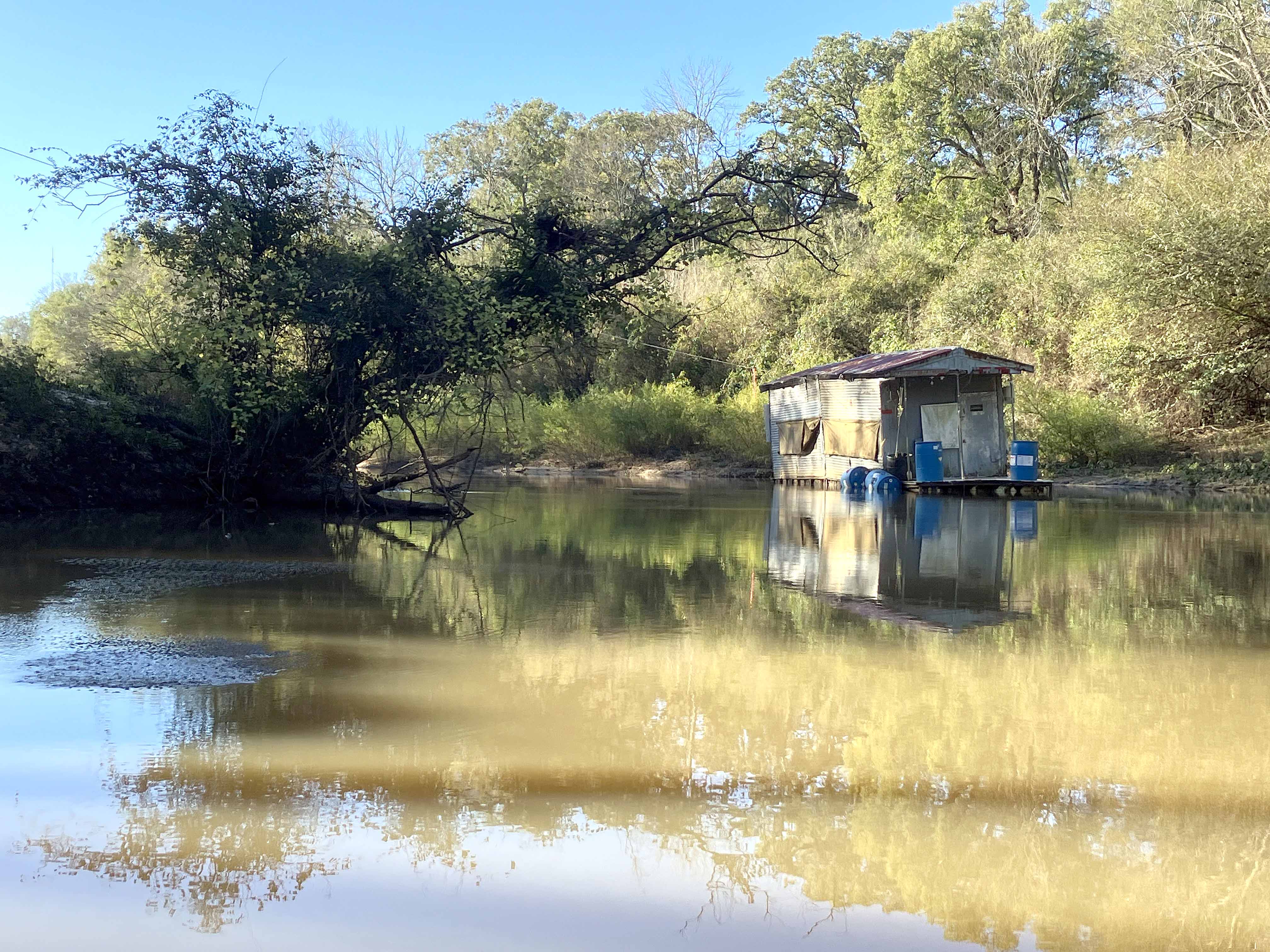
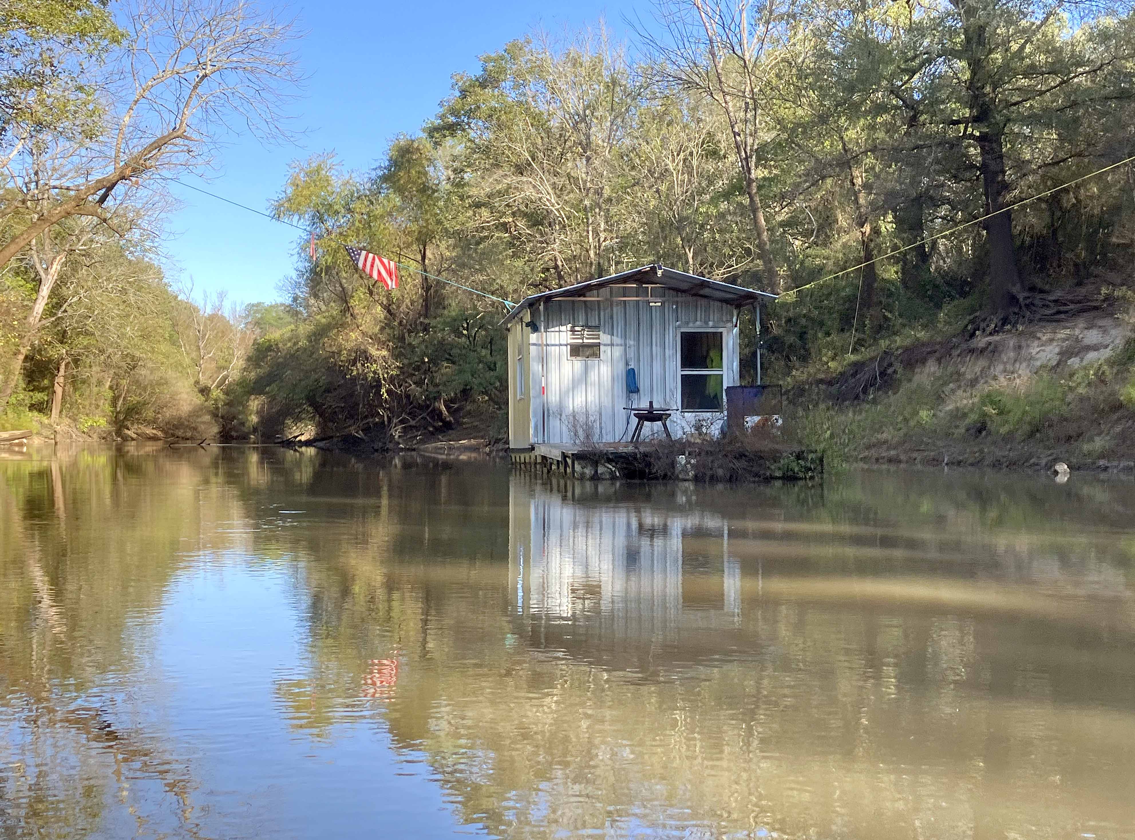
Above: One of maybe a dozen houseboats.
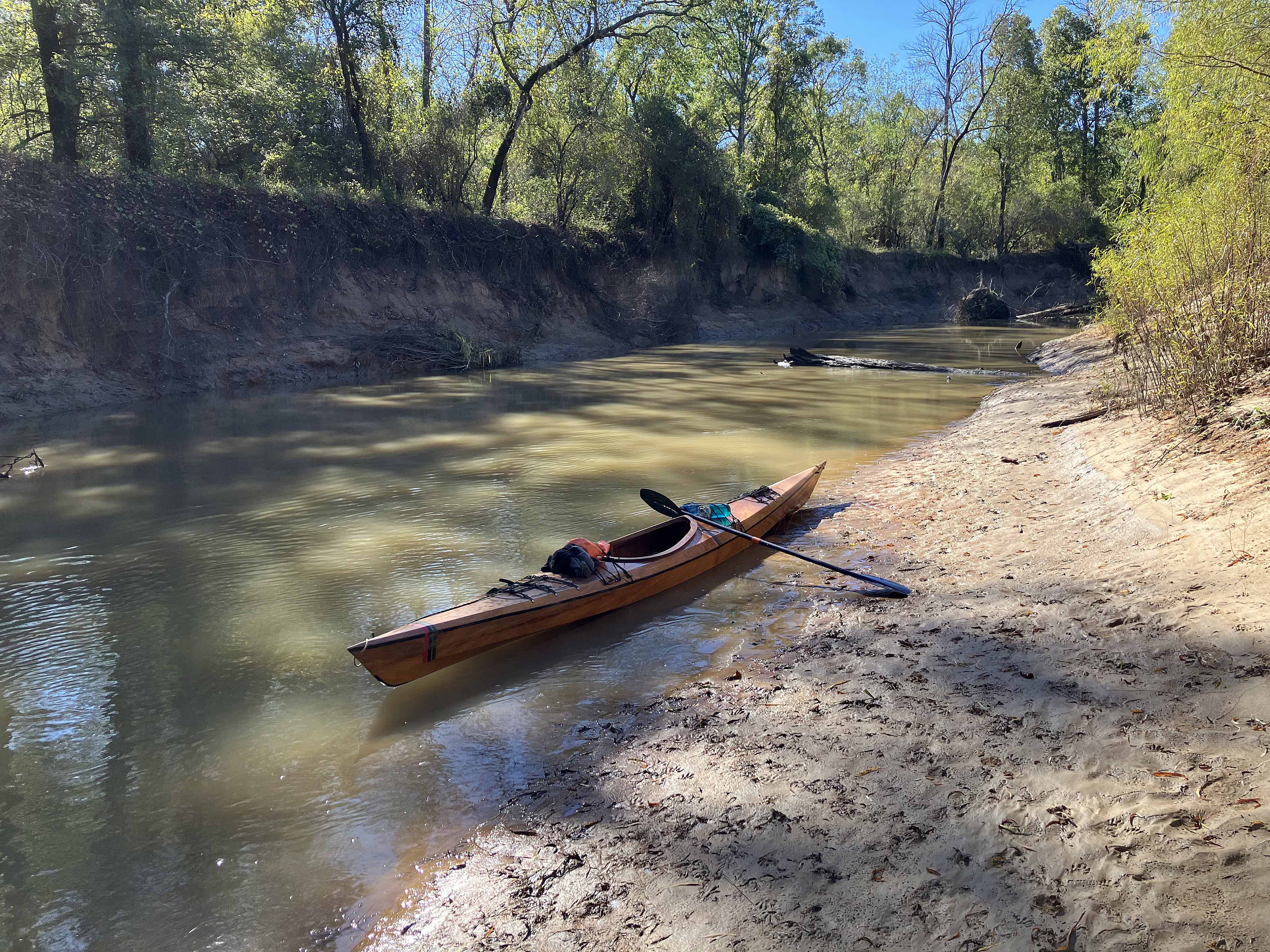
Above: Taking a break along the Sabine River. Fairly narrow at this spot.
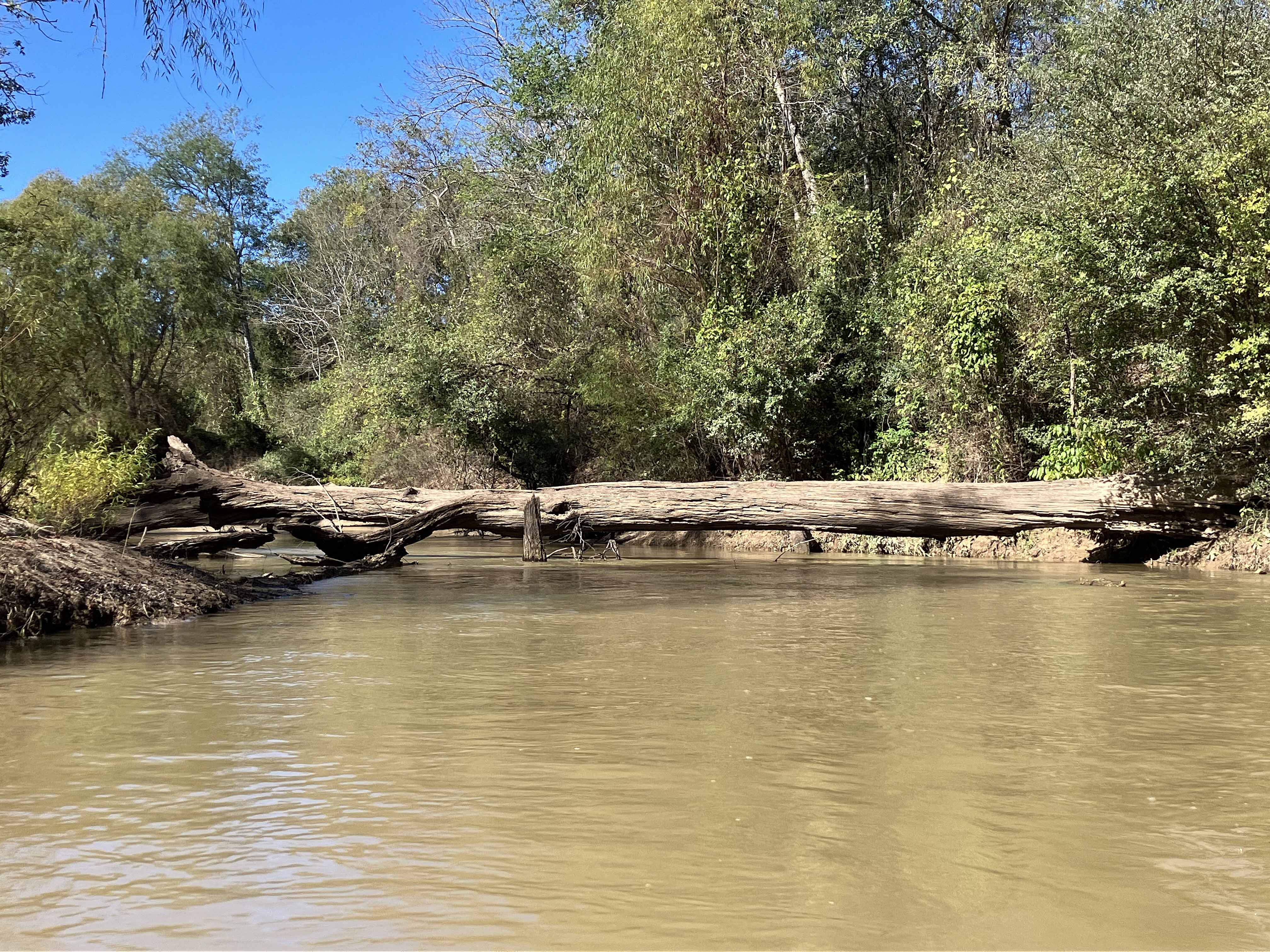
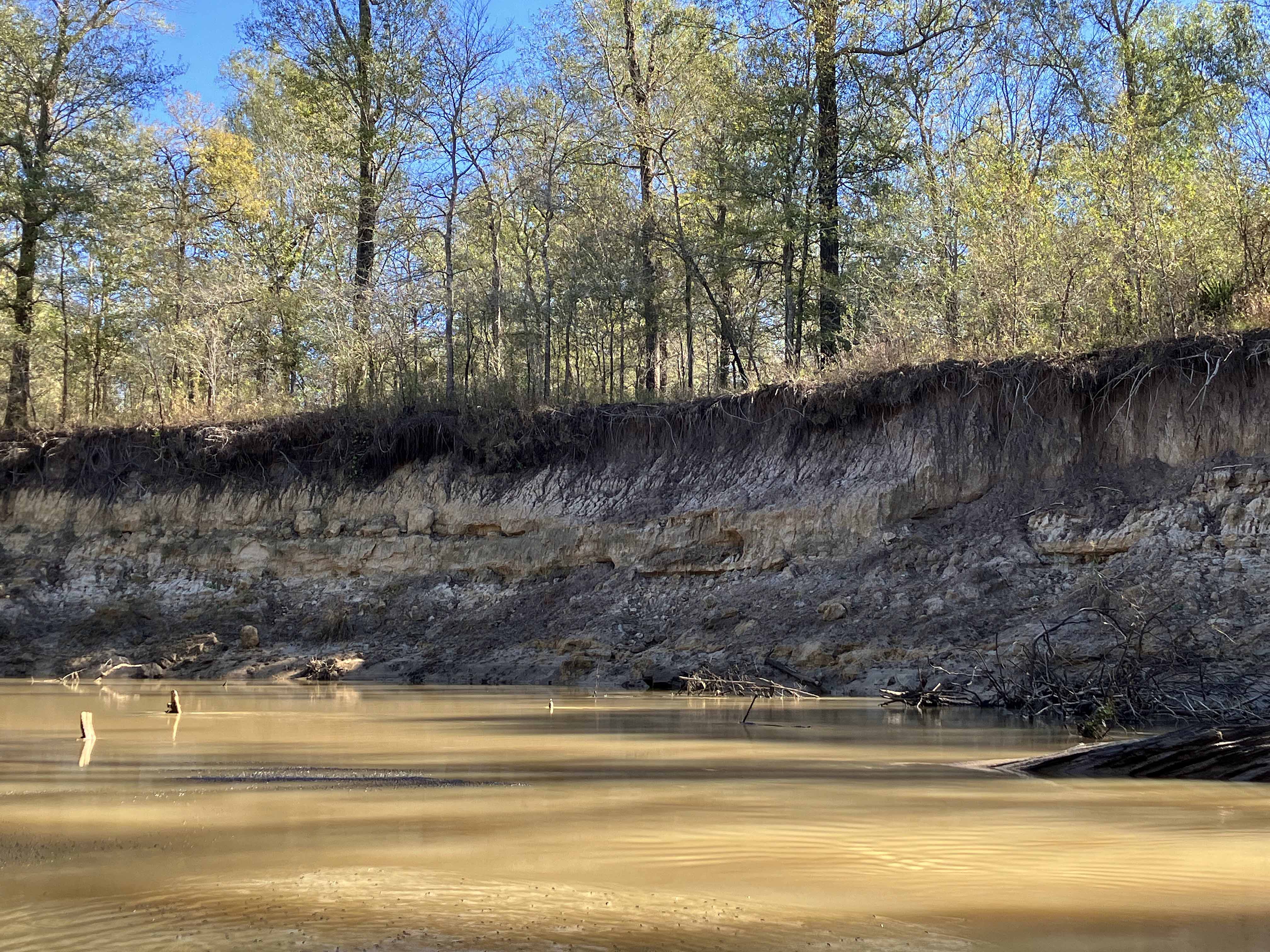
Above: Towards the turnaround point there were several log falls that had to be portaged. Not bad.