Sardis Lake, North Jackfork Creek, Oklahoma
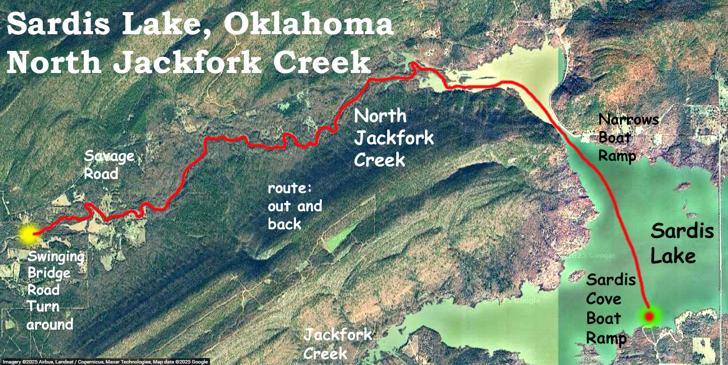
Kayak paddle route map in the Sardis Lake area and Ouachita Mountains of southeast Oklahoma, about half an hour east of Stringtown. Like an earlier trip here, this one launches at Sardis Cove Boat Ramp. Nobody was there the day of this trip. There is an alternate ramp just to the north, called The Narrows because of the tight squeeze between the lake and North Jackfork Creek. This put-in would avoid the open water crossing from Sardis Cove. The paddle route here goes through the ‘narrows’ and up North Jackfork to the point of Swinging Bridge Road. At the turnaround there is an interesting homemade suspension bridge which gives the road its name. This paddle was late winter but the day was nice and the mountain scenery and rocky hillsides were beautiful. The North Jackfork is a bit wider than Jackfork Creek to the south (which I did on an earlier trip here) and is an easy paddle. A couple spots did have shallow riffles where the boat had to be pulled up through but they were all floatable on the way back.
Going up the creek I smelled smoke. Out in some remote section of the paddle, maybe 10 yards from the creek, and behind the brush so I couldn’t see, smoke was rising. Somebody was clearly there, but I don’t know more or why. The smell of smoke is a primitive signal of nearby humans and it puts you on alert very quickly.
After the trip I drove off across the bridge that you can see on the east-most side of the map. This connects to Savage Road, which is a remote gravel road drive up through the hills of rural Oklahoma, and worth the trip. Sardis Lake (Oklahoma not Mississippi) was a few inches over full pool.
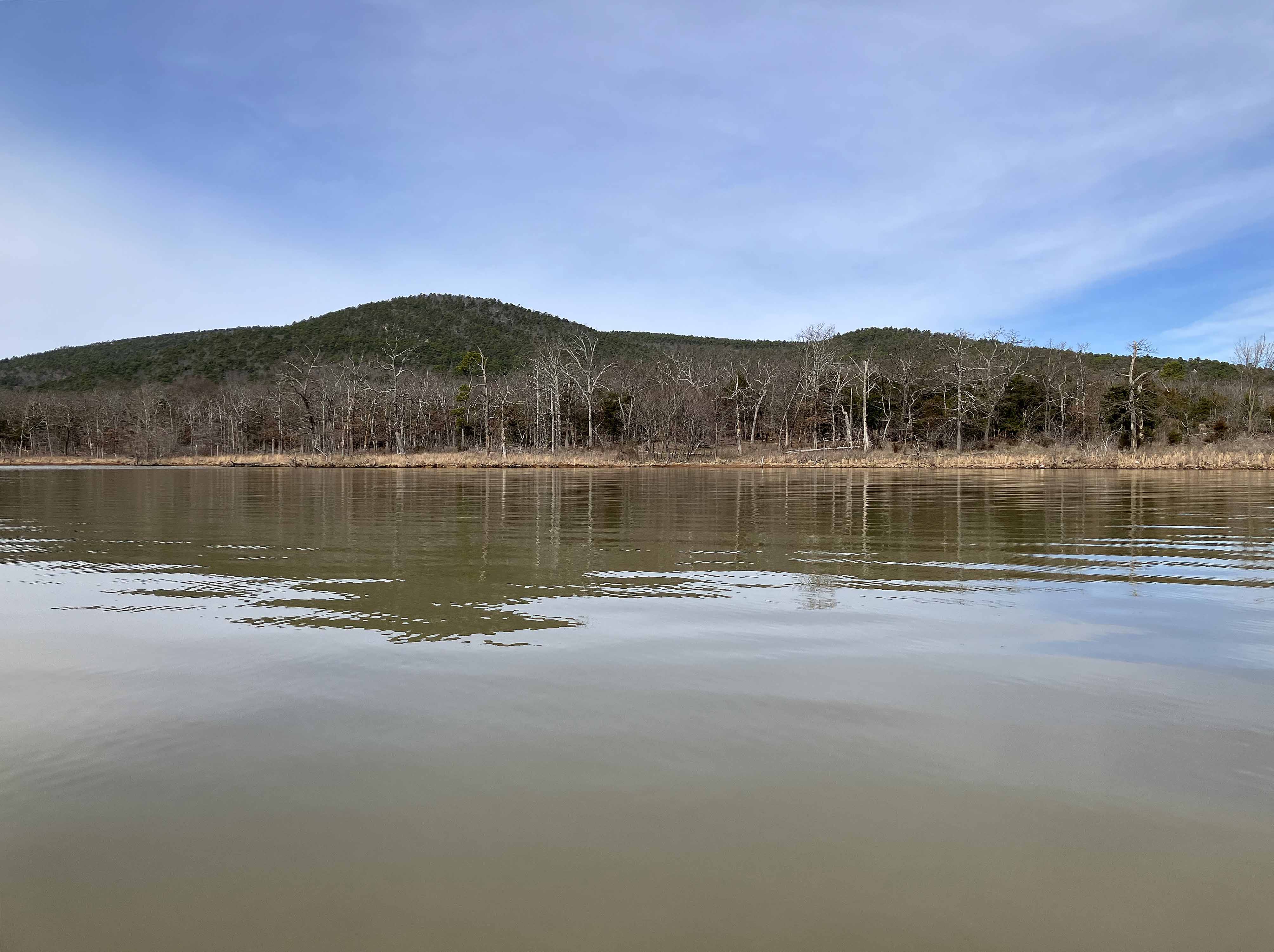
Above: The Ouachita mountains of Oklahoma seen by a person paddling a kayak on Sardis Lake.
Above: Planet Earth.
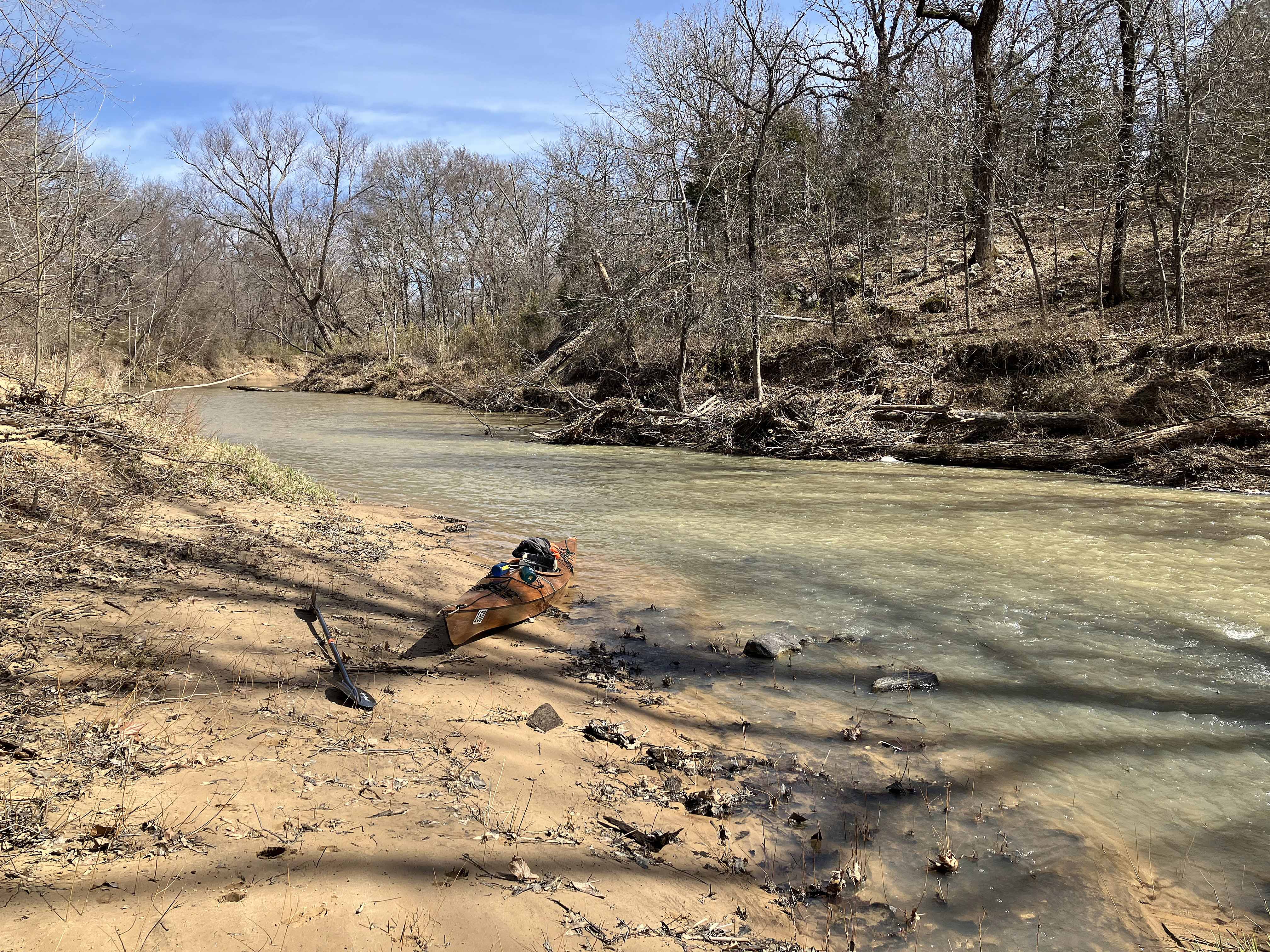
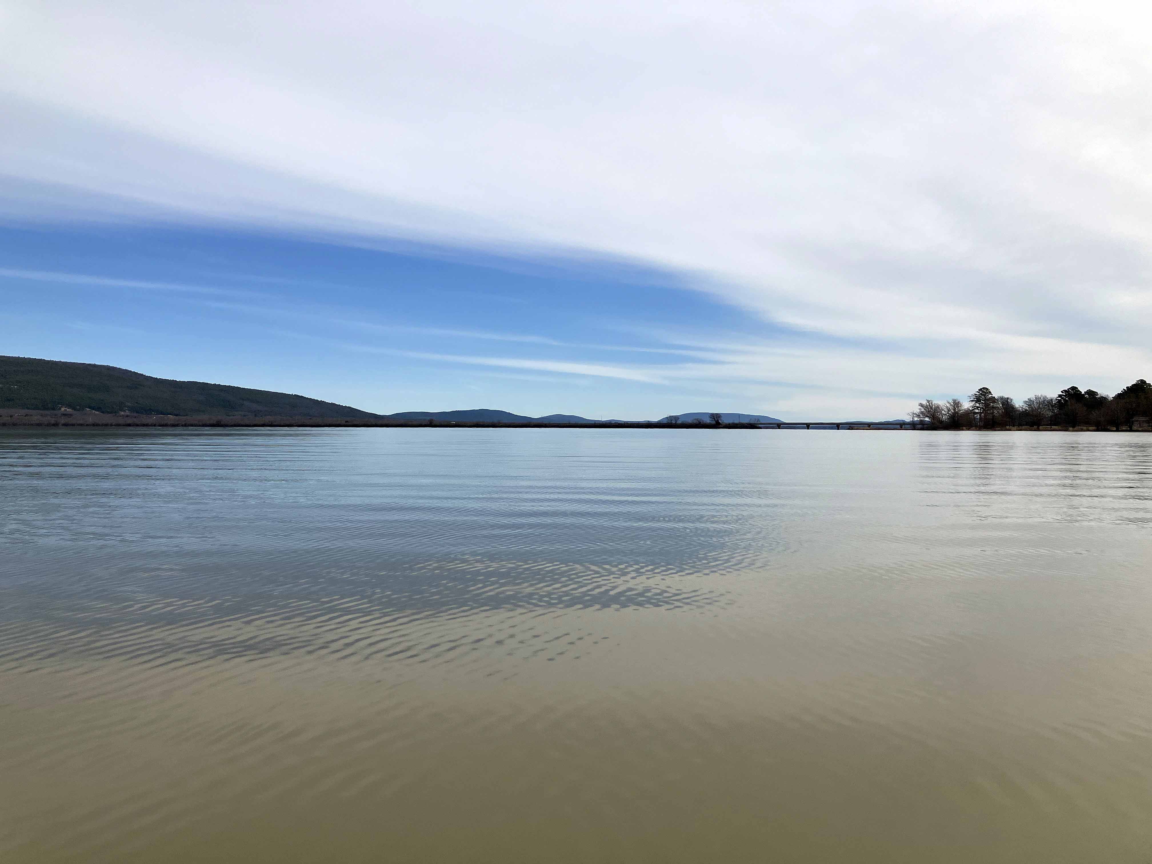
Above: Look of the creek at about the turnaround point.
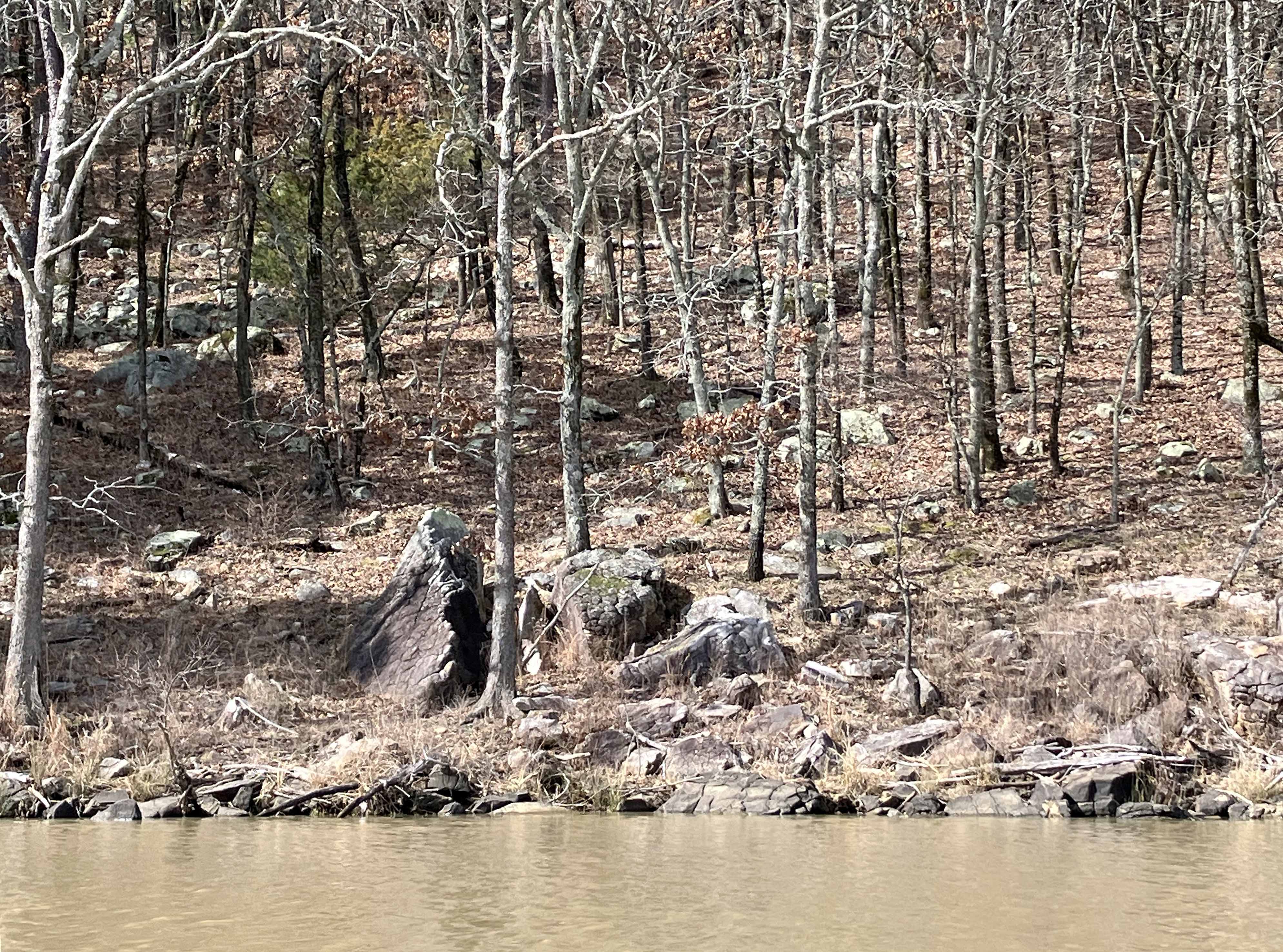
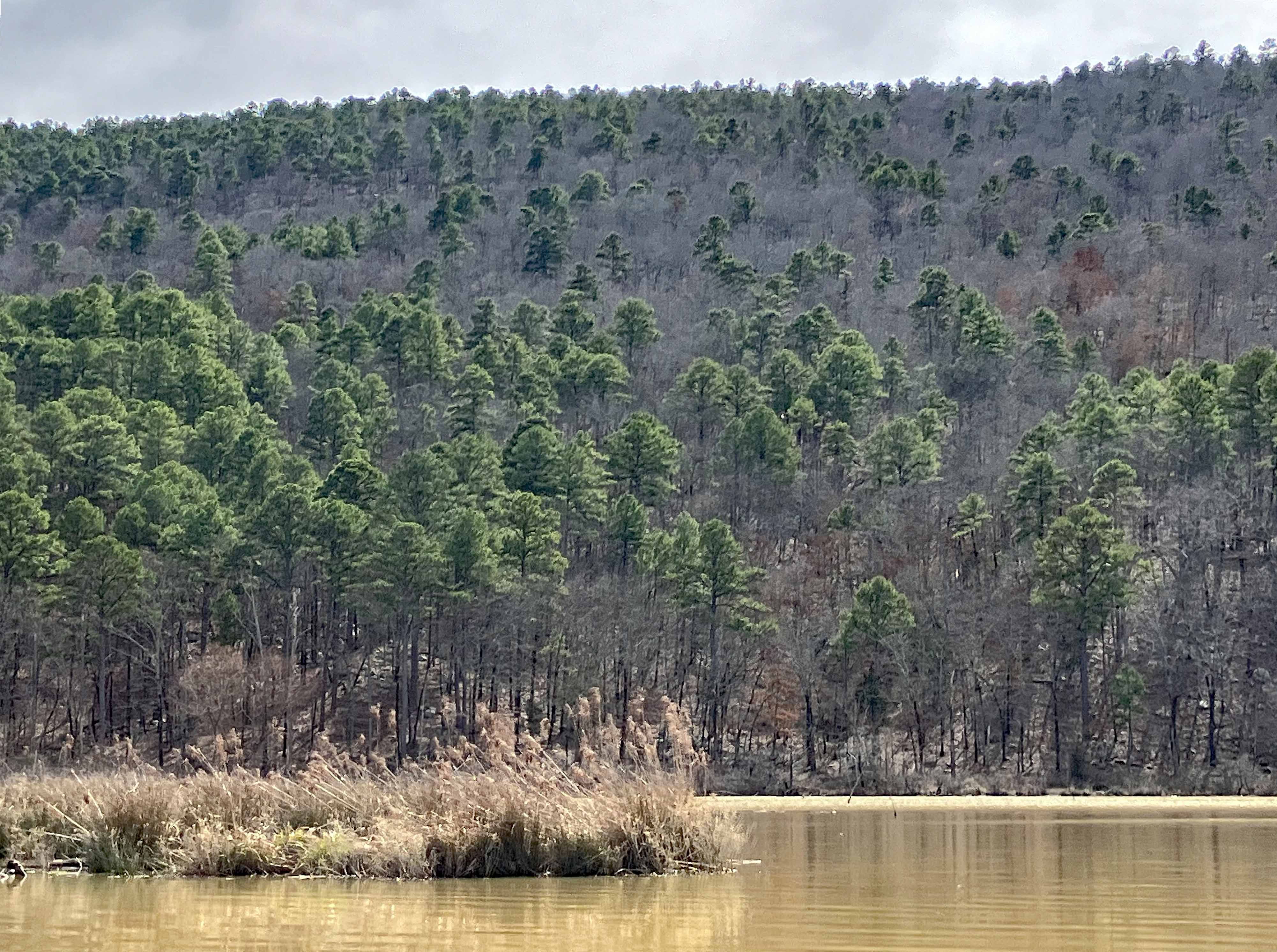
Above: Typical rocky hillside in the Ouachita Mountains of Oklahoma.
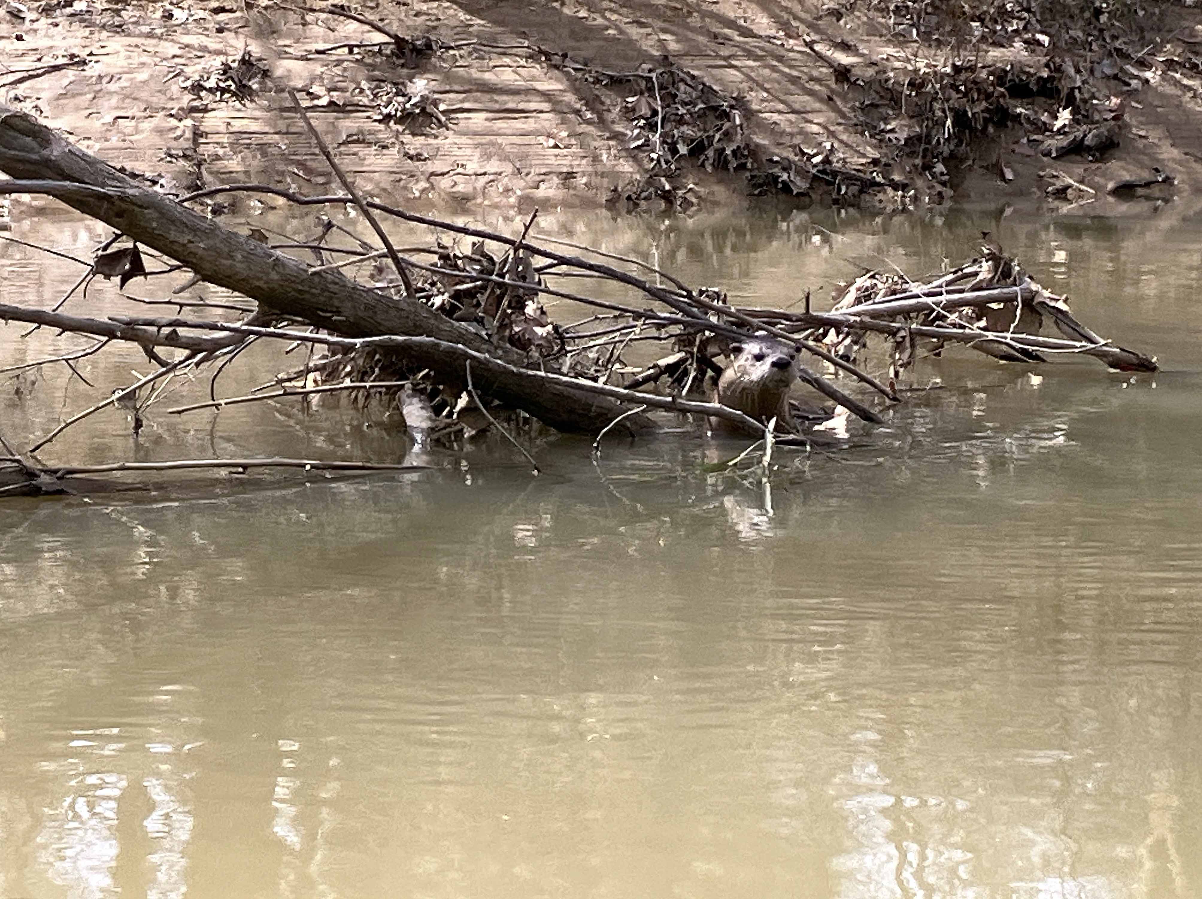
Above: Somebody is evaluating the situation.

Above: The homemade suspension bridge at the Swinging Bridge Road turnaround point. It is posted.

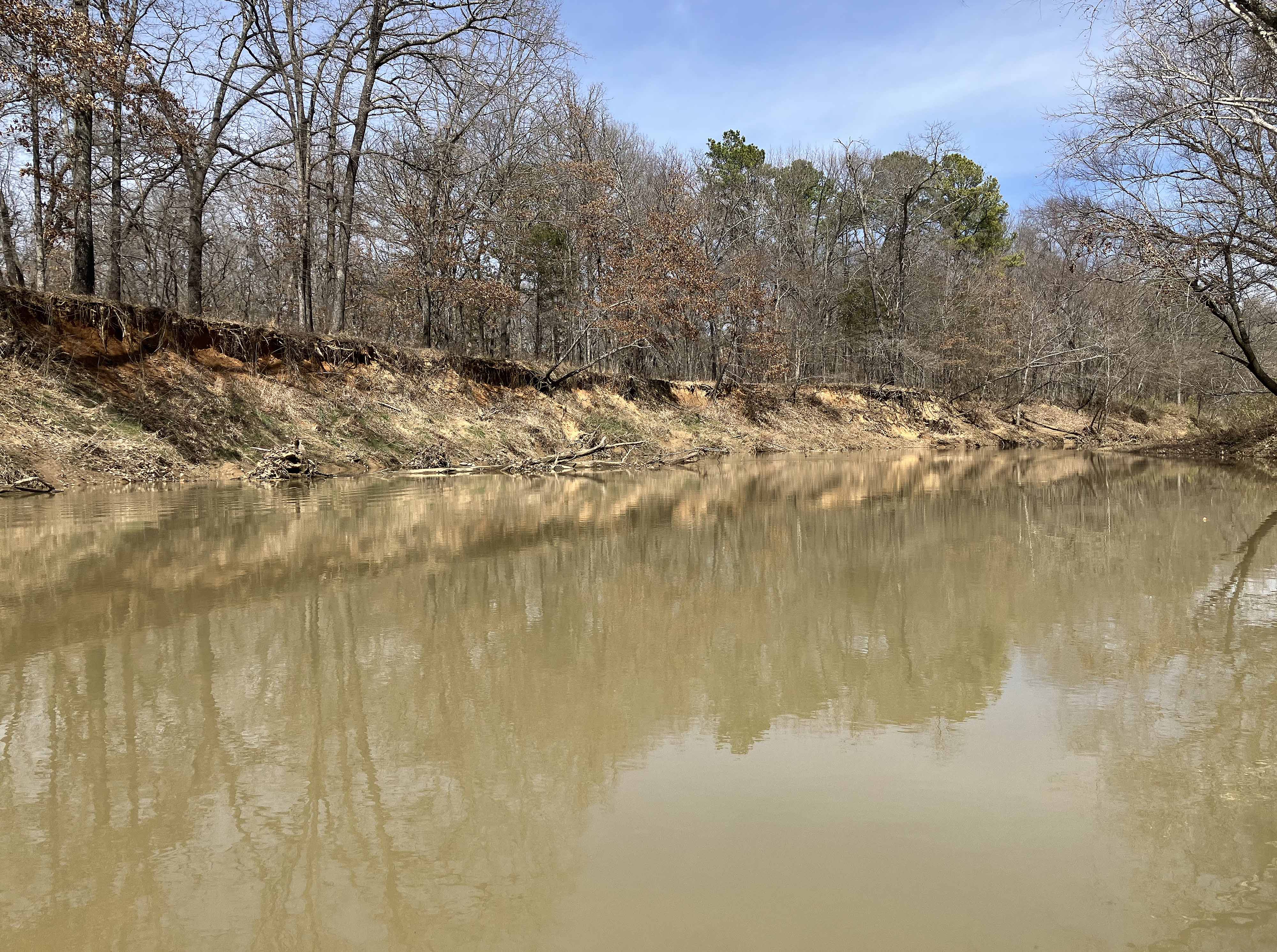
Above: Nice.
