Sulphur River, 4128 Launch, above Wright Patman
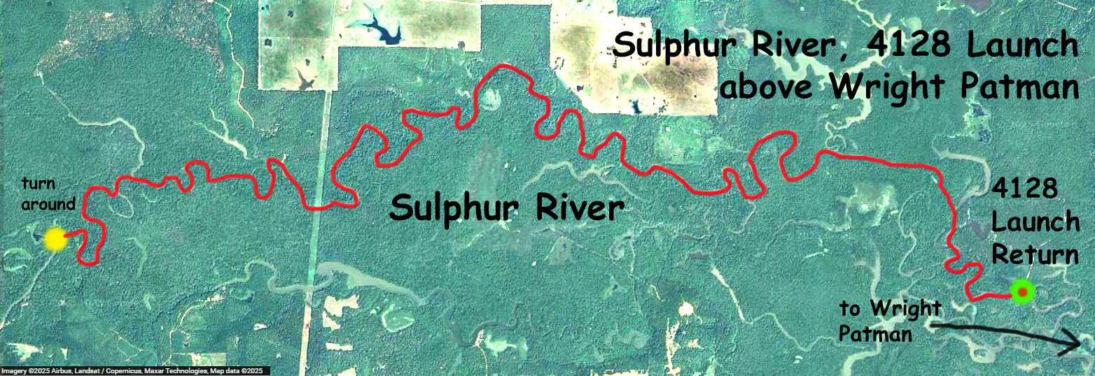
Kayak paddle route trail map on the Sulphur River above Wright Patman Lake. The launch is at the end of a four mile dirt road 4128 that comes off of Highway 67 southwest of Texarkana. I had wanted to find a public launch somewhere in between this one and the launch at Highway 67, its a long stretch, about 30-35 miles, between the two, but haven’t been successful. So I launched here at 4128 and went upstream as far as I could for an out and back of about 28 miles round trip. Early morning was beautiful, and the weather stayed cool all day. No current, the Sulphur River at I-30 was about 15 cfs, and almost no wind either. Some otters, see picture, and tons of gar. Nice paddle.

Above: The launch is at the end of this dirt road, 4128.
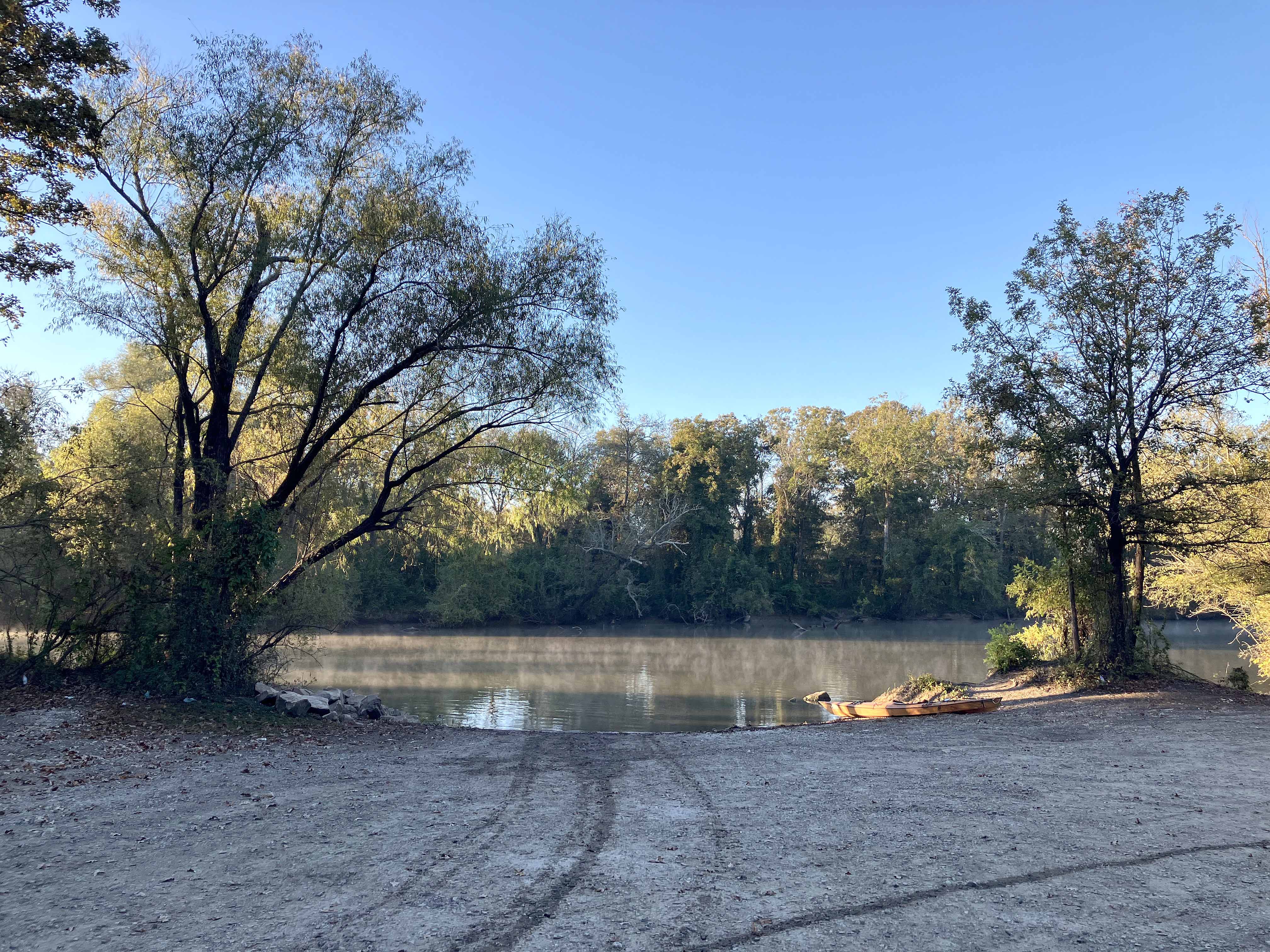
Above: The 4128 launch just after daybreak.
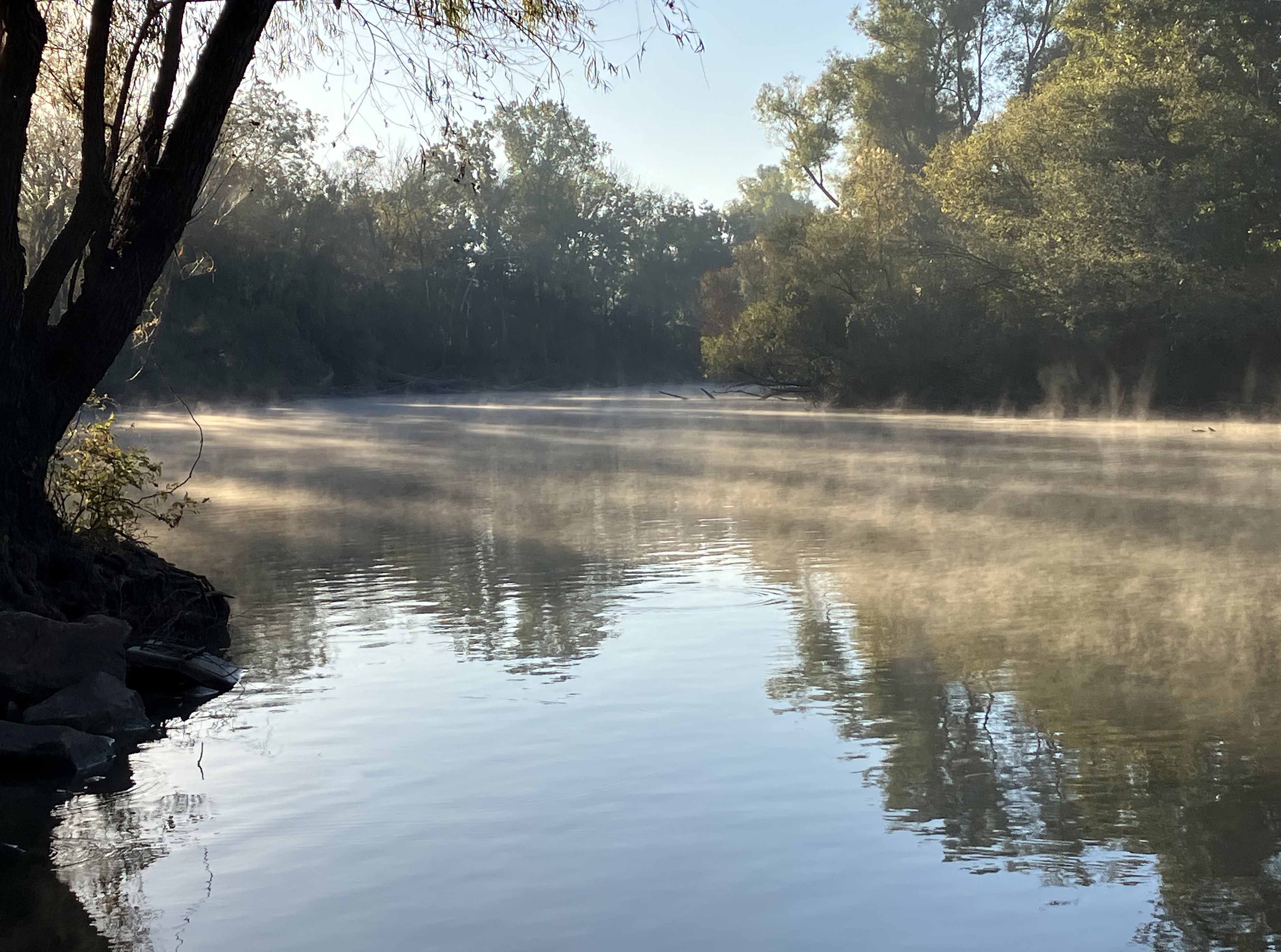
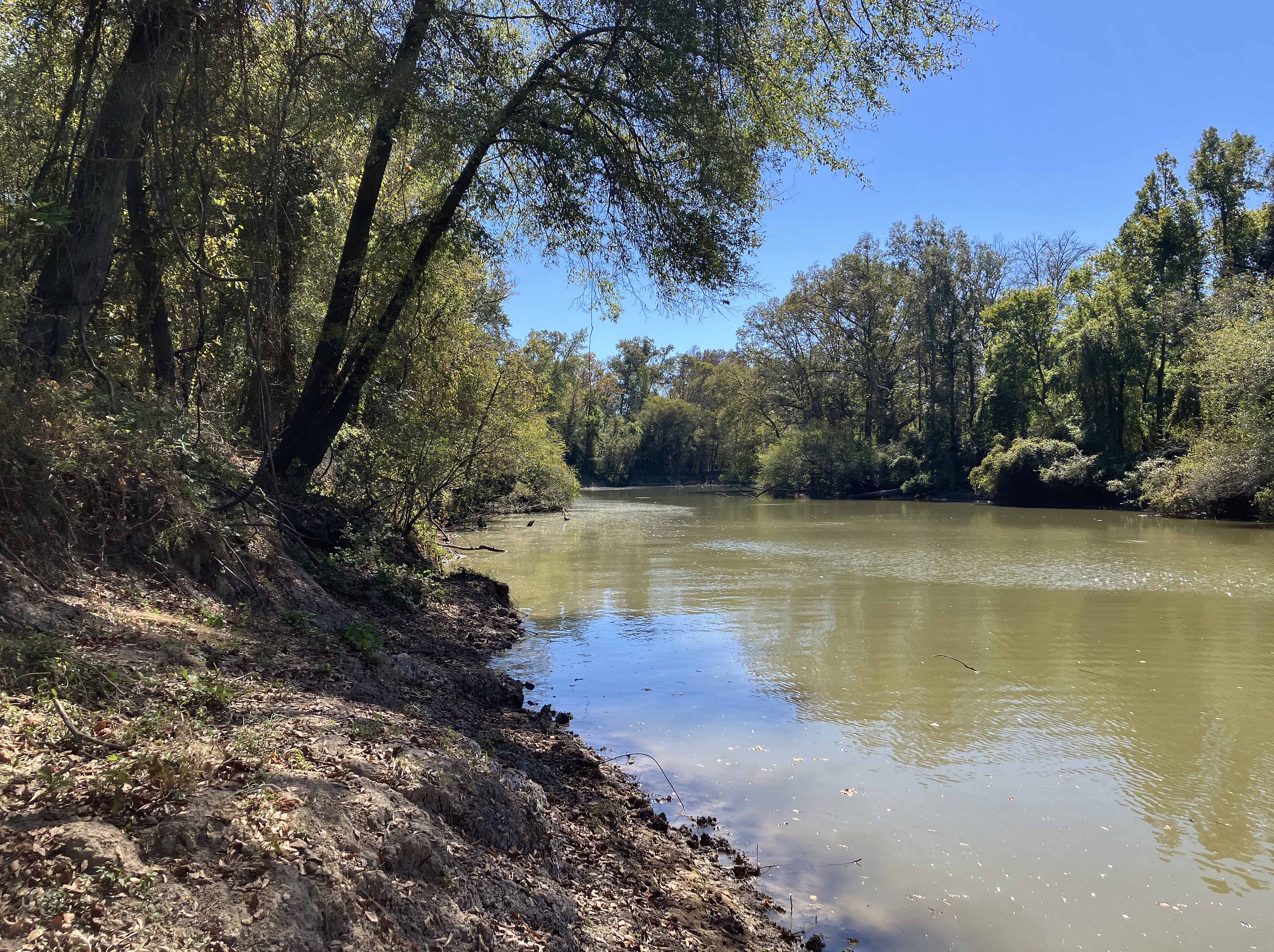
Above: Early morning on the Sulphur River, steam is rising off the water.
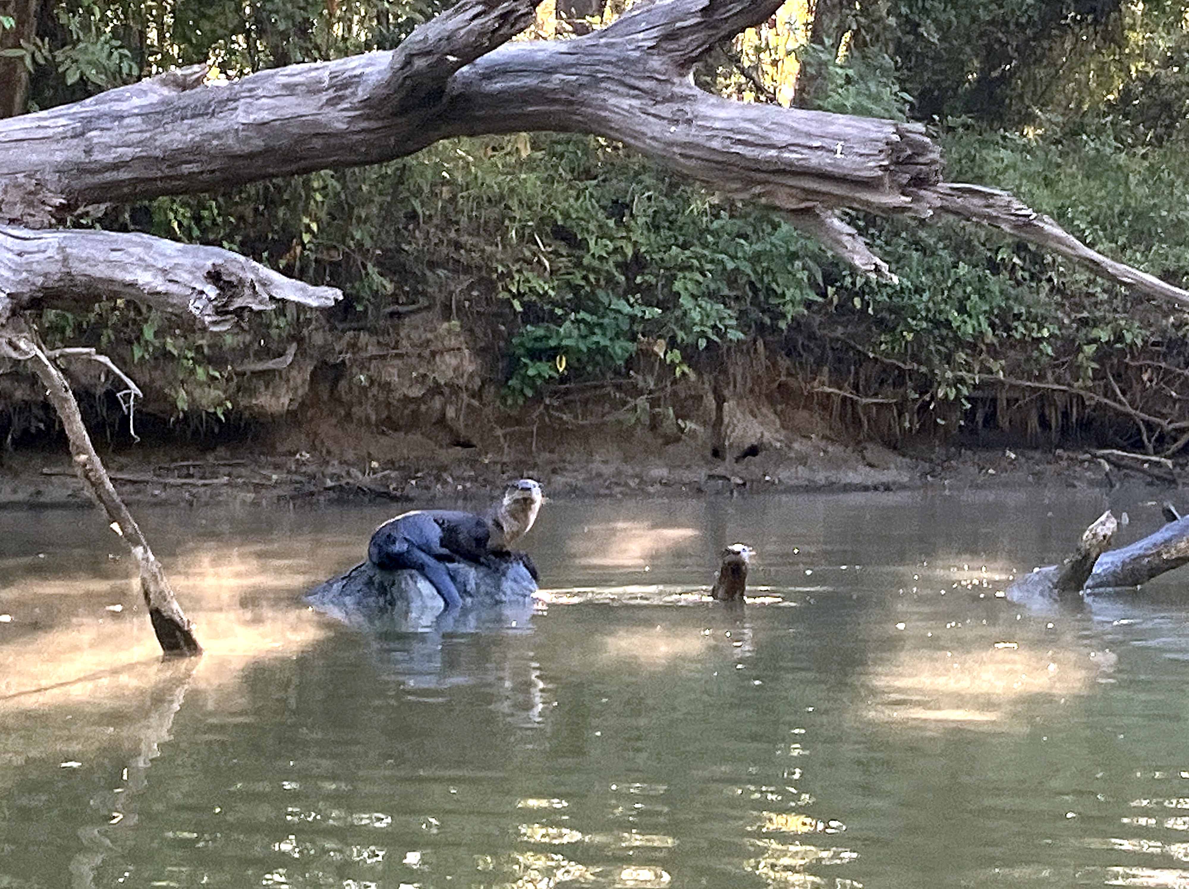
Above: Find the otters!
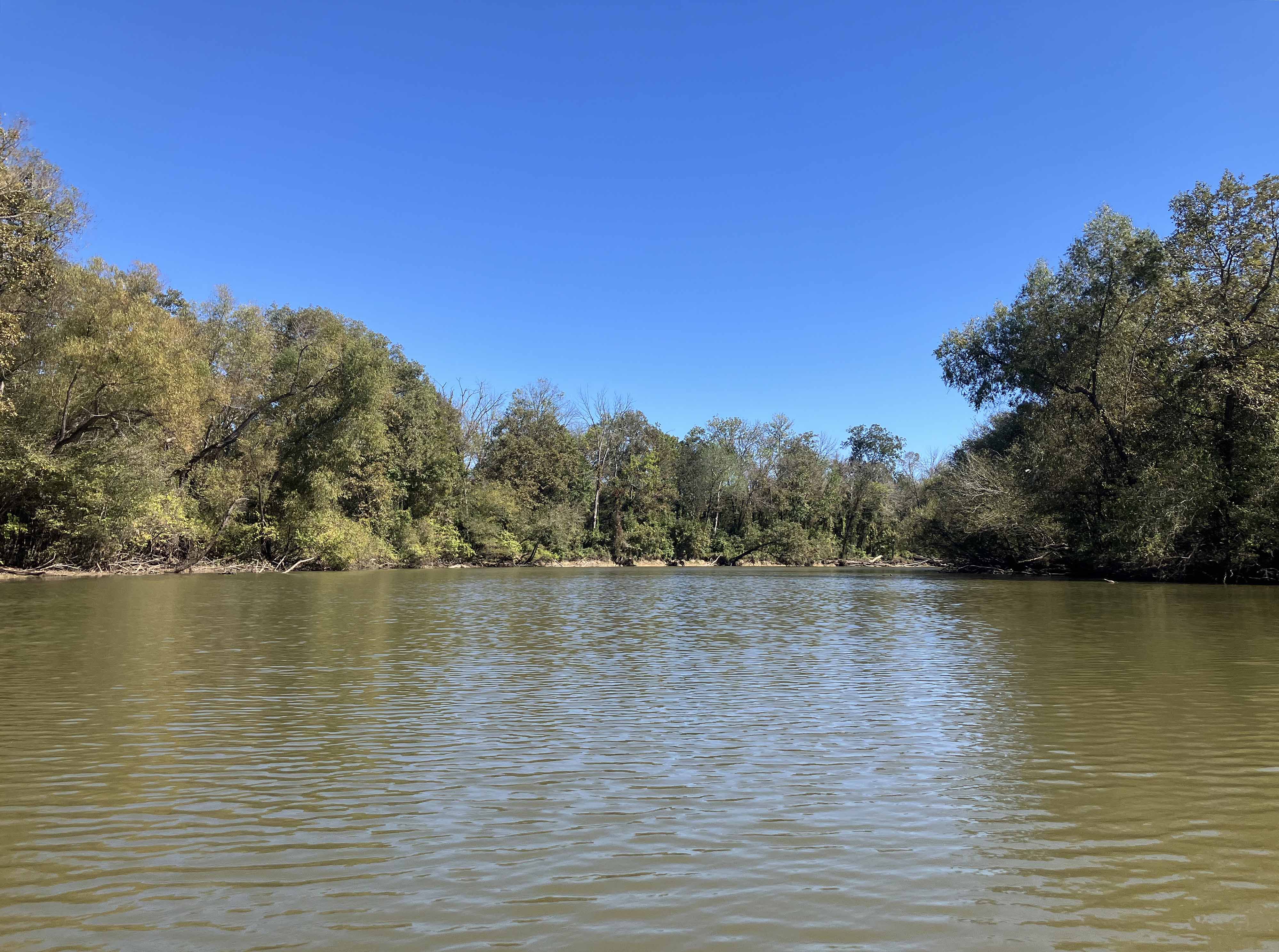

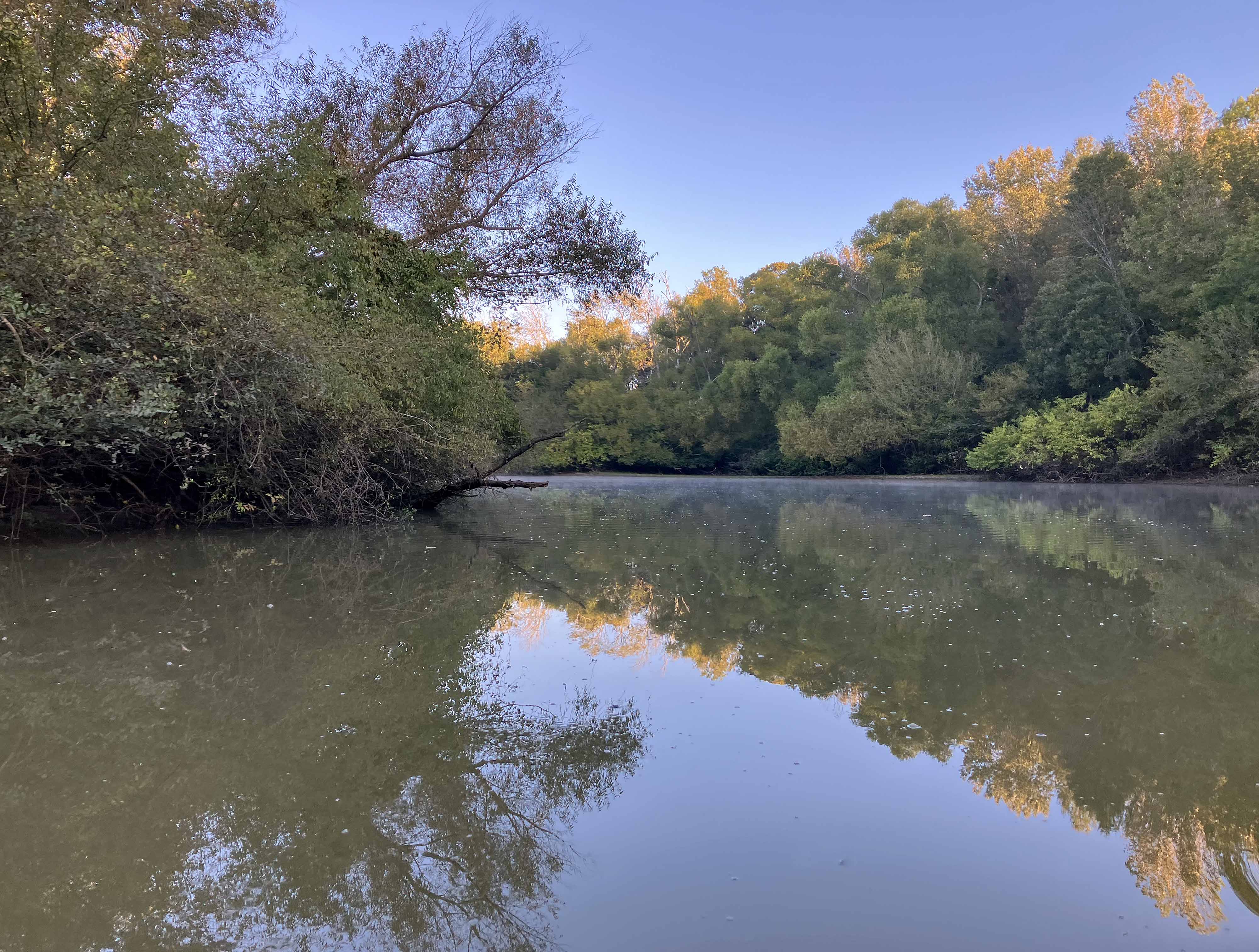
Above: Break time along the Sulphur River.

