Sulphur River, Hwy 71 Ramp to Red River, AR
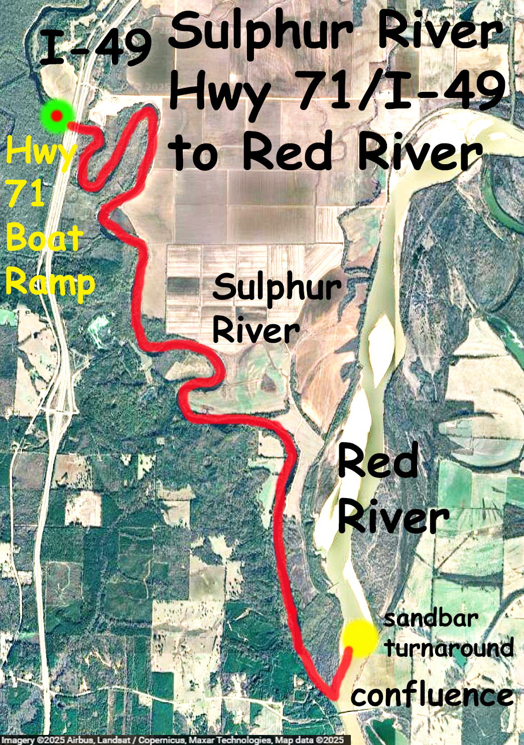
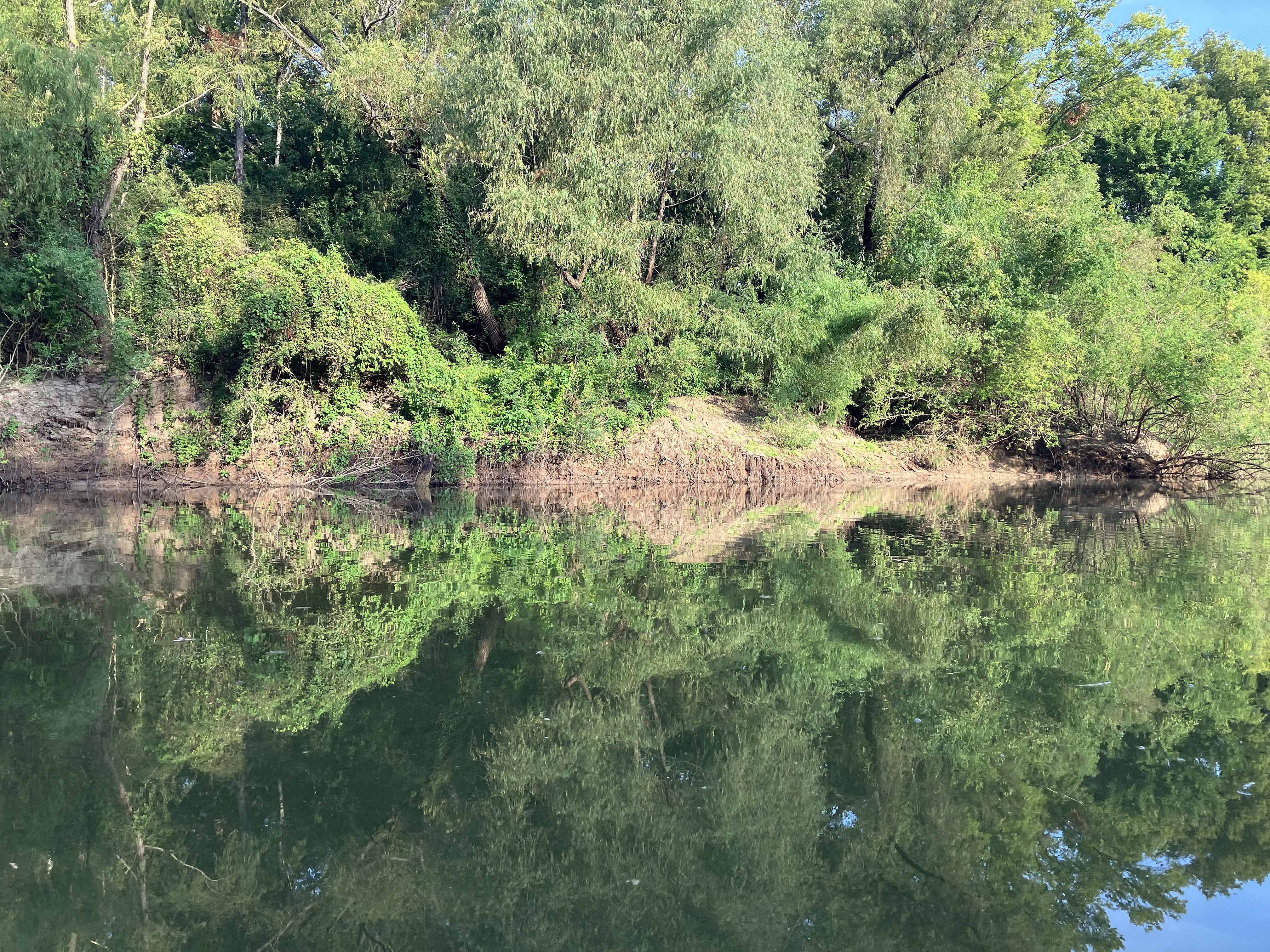
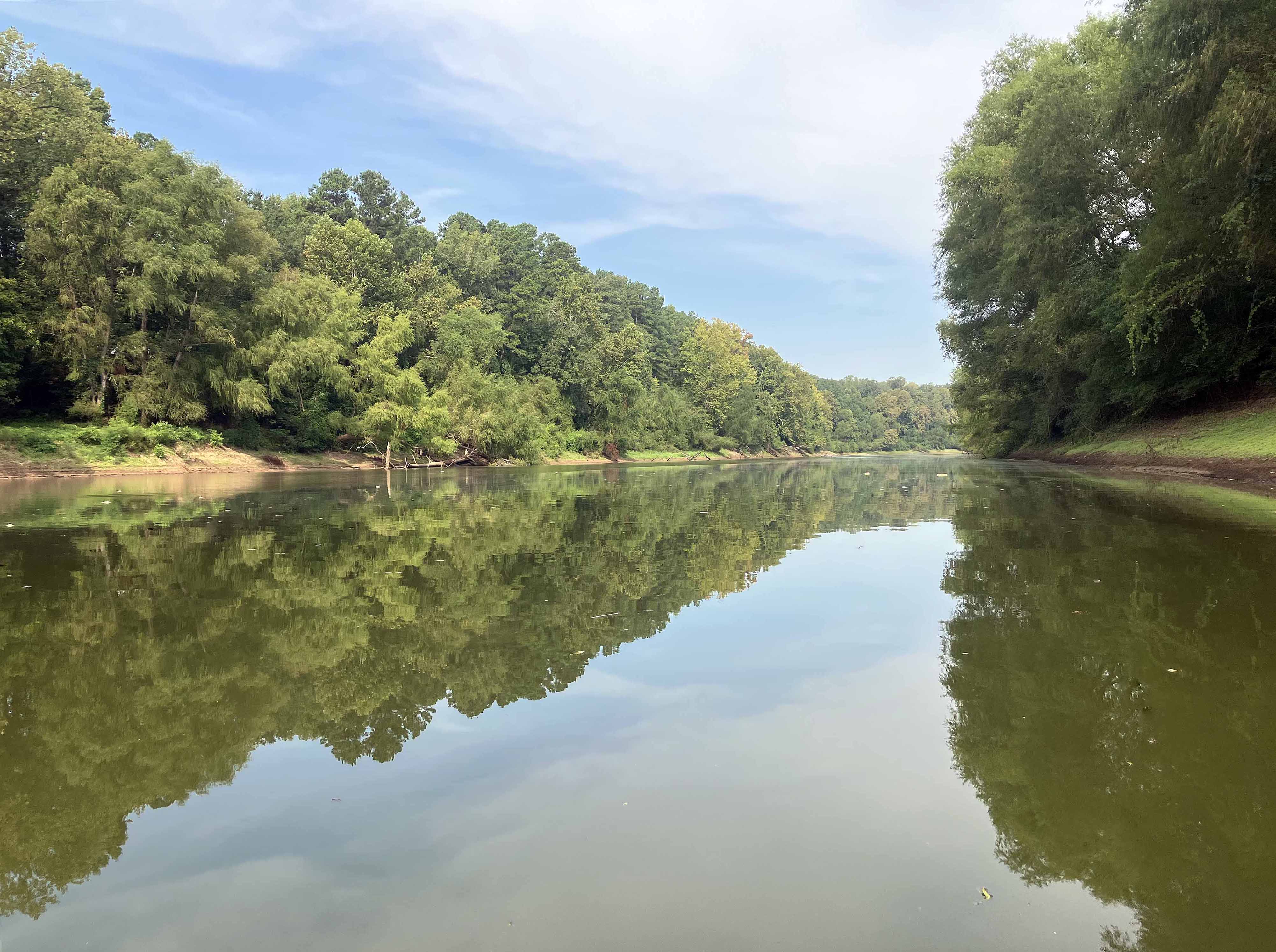
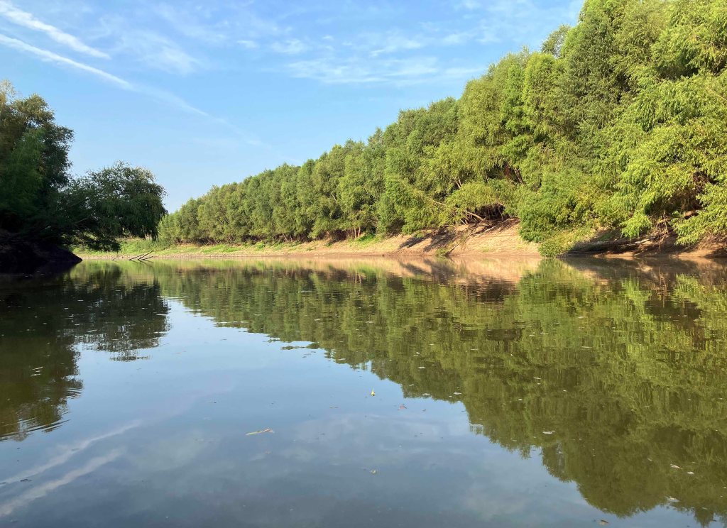
Kayak route trail map on the Sulphur River starting at the Highway 71 Public Launch just south of Texarkana and off of I-49. The route is a down and back that turns around at the confluence of the Red and Sulphur Rivers, near the Hwy 160 bridge. On the day of this trip there was no current on the Sulphur River so it was a smooth, scenic, flatwater paddle in both directions (the Sulphur River nr Texarkana gage read 7.5). The river is fairly wide and would be less fun if it had been windy, but late summer things are pretty still. And there were no log jams like in some of the upper sections. This route is the last leg of a set of Sulphur River trips starting from the point where the river leaves Wright Patman Lake and ending at the Red. There were a few alligators in the water but no pictures this time. The confluence of the Red and Sulphur Rivers is interesting. The Red was only flowing at about 4500 cfs but even at that rate its size is still impressive, it has a ‘crossing the Red’ 1870s cowboy cattle-drive kind of feel. Great paddle.

Above: The Highway 71 Public Ramp. Exit I-49 either north or south to 71 to reach the spot.
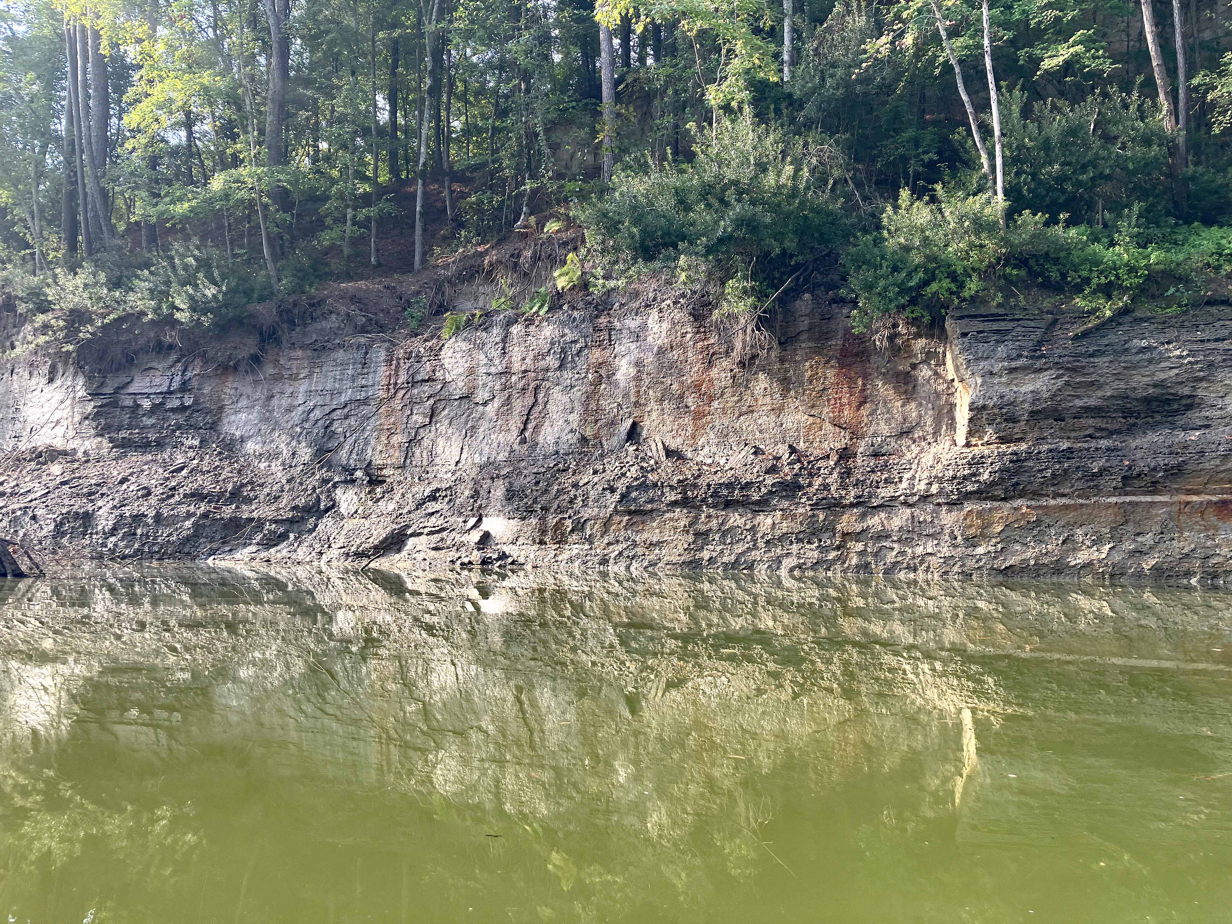
Above: Some sections even had cliffs.

Above: A few deer are watching.
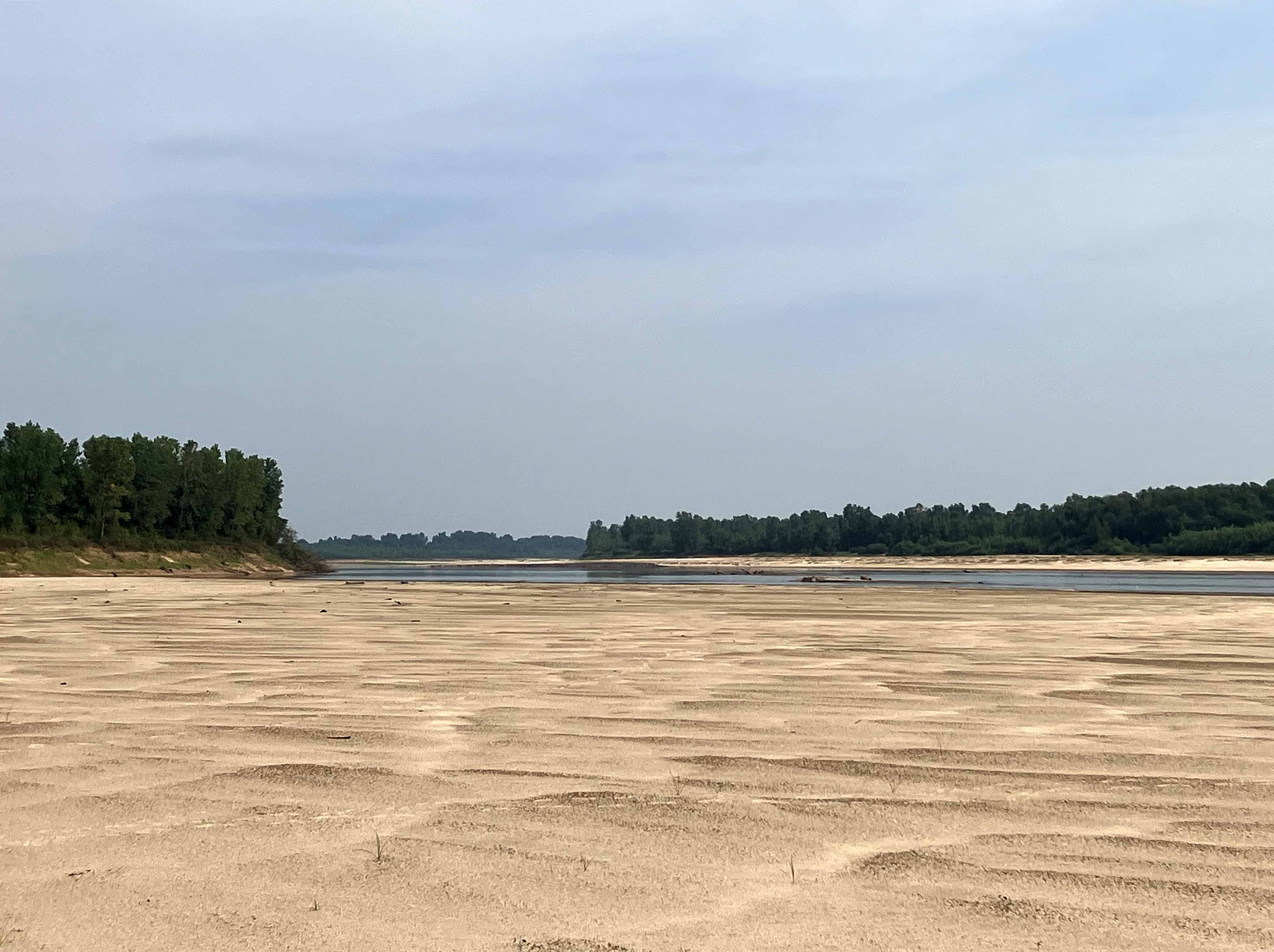
Above: Sandy expanse along the Red River.
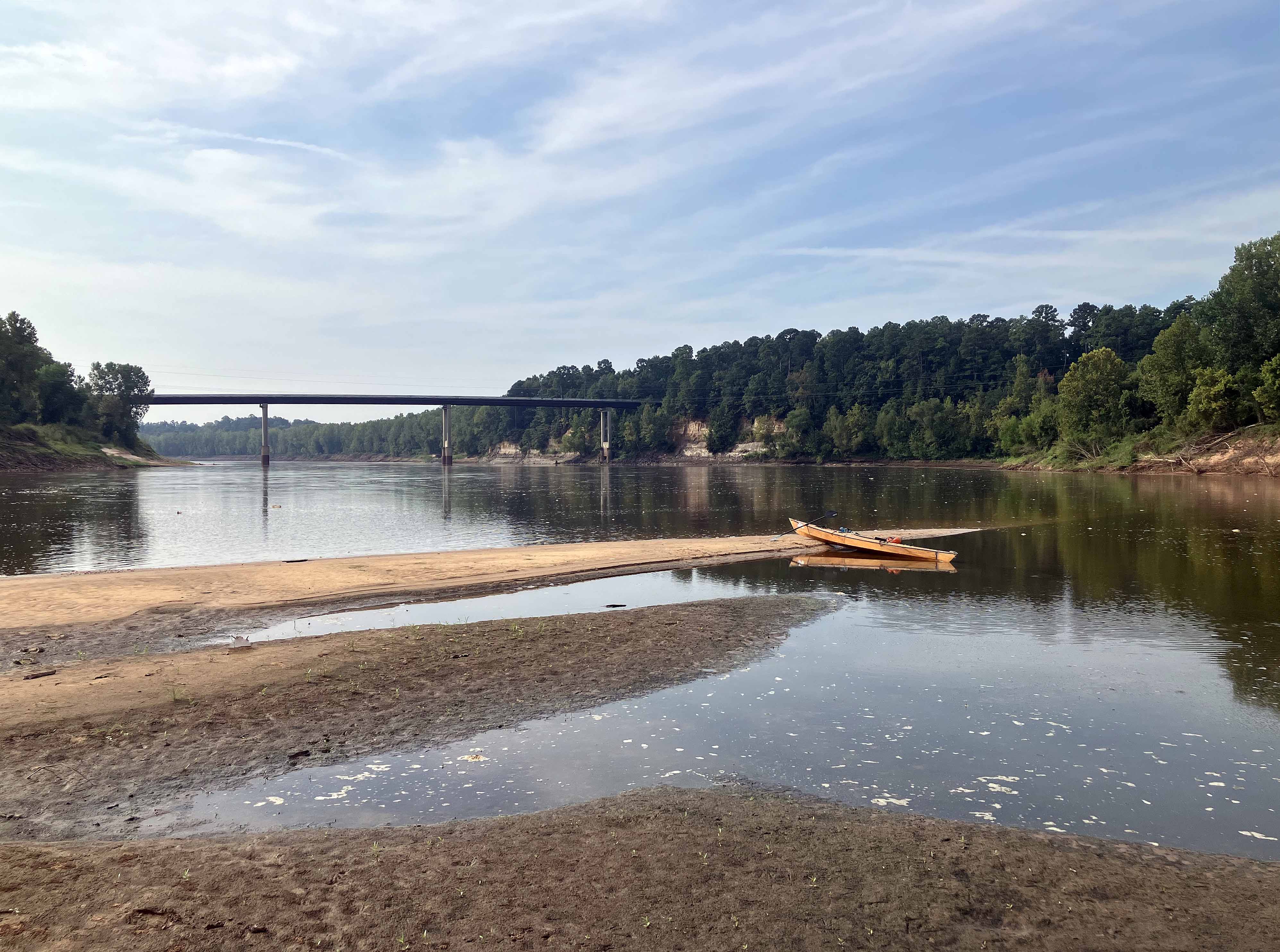
Above: Taking a break at the turnaround point on the Red River.
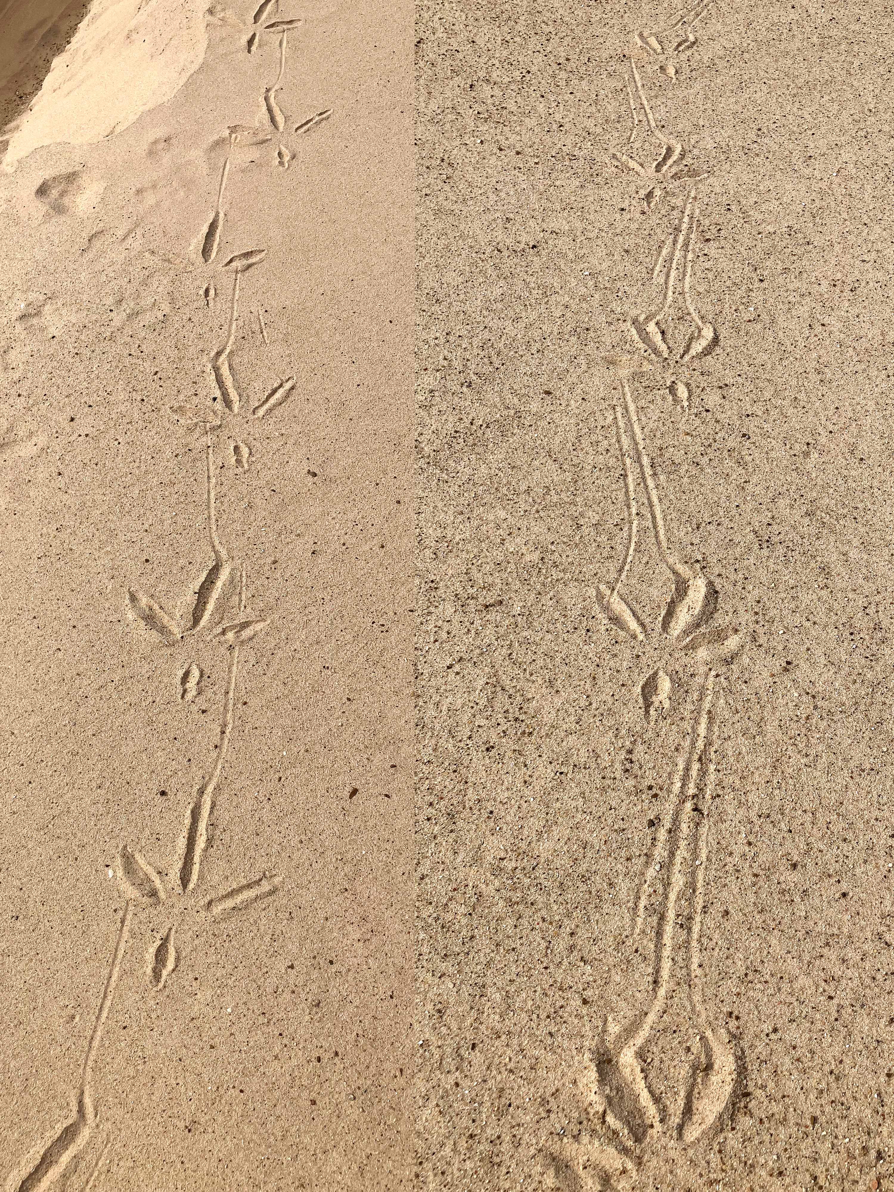
Above: Some claw draggers.