Sulphur River, Smith Park Launch, Texarkana, Arkansas
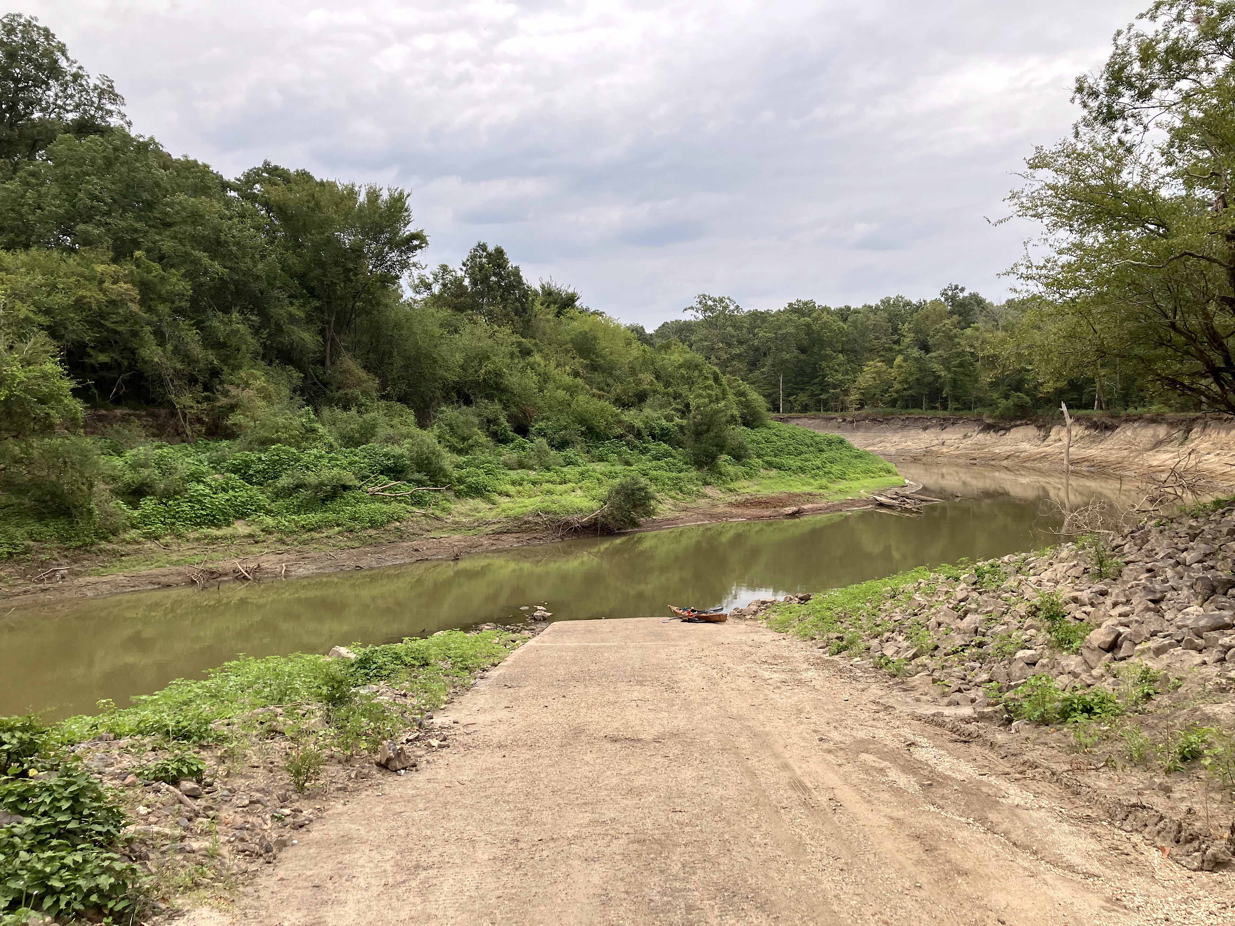
Kayak paddle route map on the Sulphur River, launching at the Smith Park Boat Ramp just south of Texarkana, Arkansas. This section of the Sulphur River is below Wright-Patman Lake and flows through the Sulphur River WMA area before intersecting with the Red River. The water level was very low, as shown in the pictures, with only a slight current, but the USGS gage downstream of Wright-Patman (Sulphur RIver nr Texarkana) was measuring 7.5 on the gage and the lake itself was 100% full pool. There were a lot of old logs and tree debris in the river that made for interesting navigational puzzles but nothing that required a portage; the river is generally more than tree-length wide. A trip when the river is higher would be interesting and might allow some side channels to fill up for exploration, perhaps even a loop back down to Smith Park, not sure. Cloudy day, cool, nice paddle, and saw a few alligators, a few alligator gar, a bunch of pigs, and some deer.
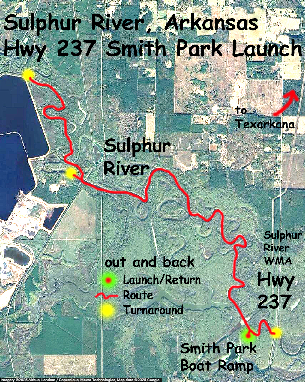
Above: The boat ramp at Smith Park off of Highway 237 south of Texarkana.
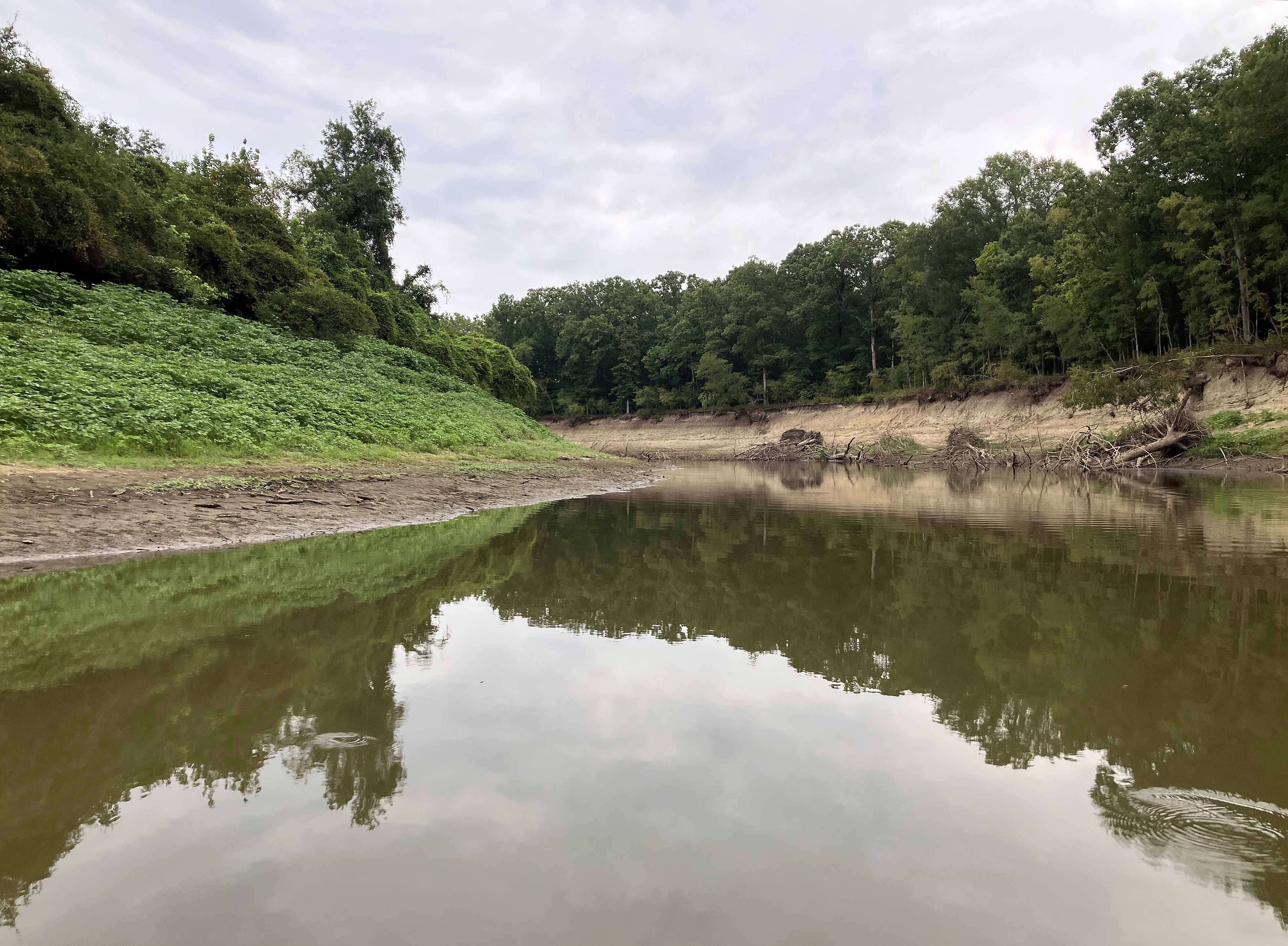
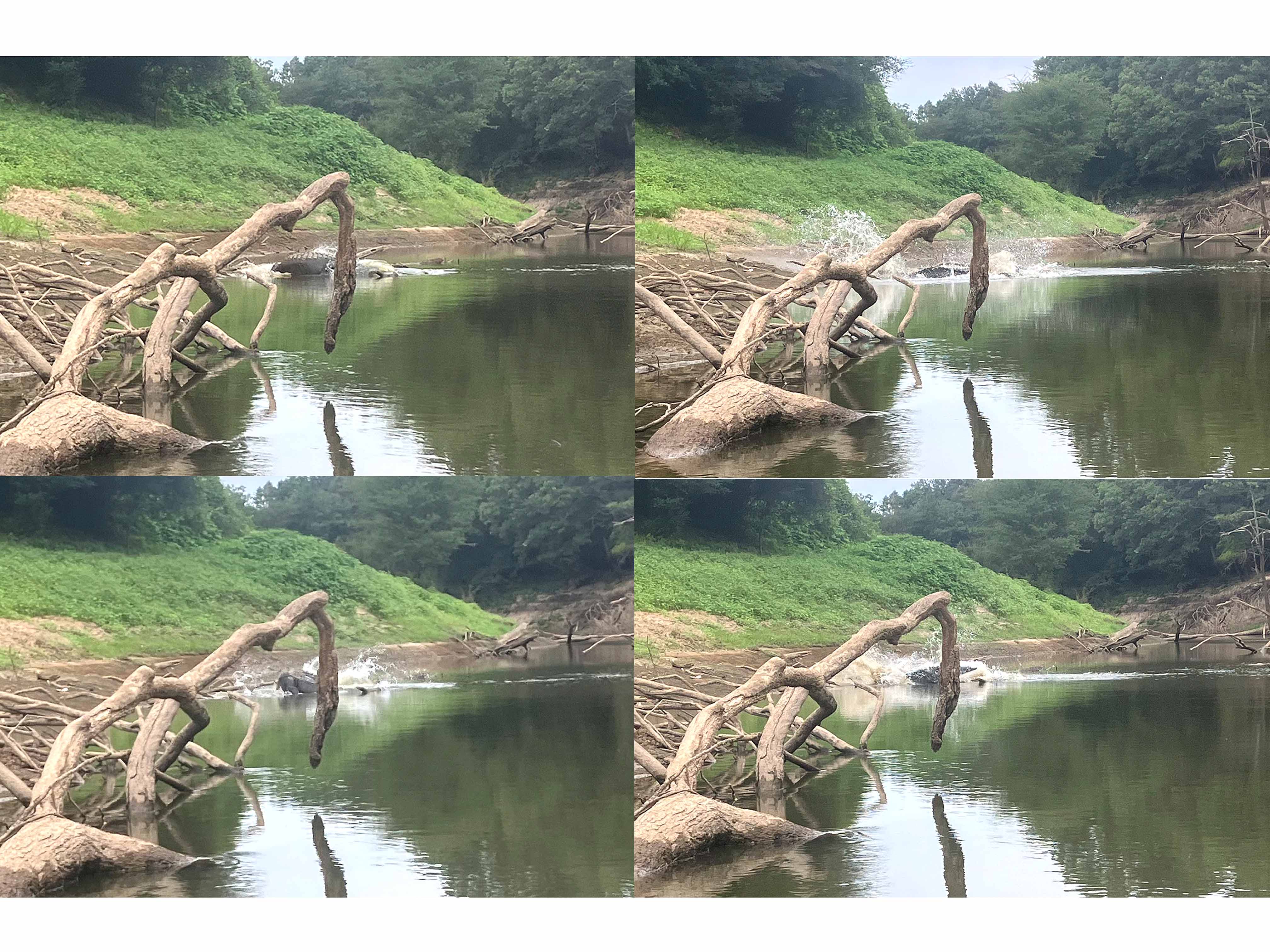
Above: The sequence of events was that I got high centered on a log in the water, then I saw an alligator on the bank just in front of me, then I got my phone and swiped to open the camera, but by that time it had of course seen me and was jumping into the water. So these shots are the best that could be done. It was pretty big. Expand picture.
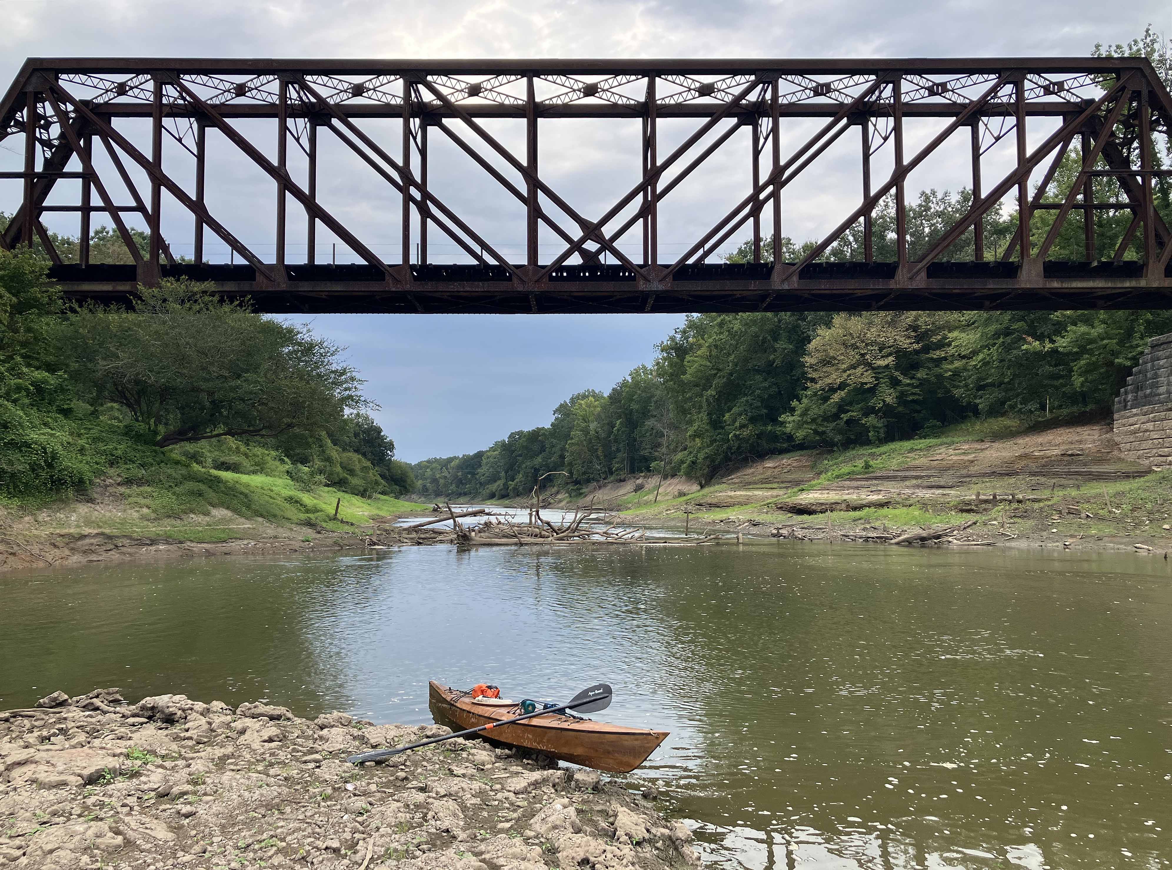
Above: The route covers two states, Arkansas and Texas; the railroad bridge is close to the state line.
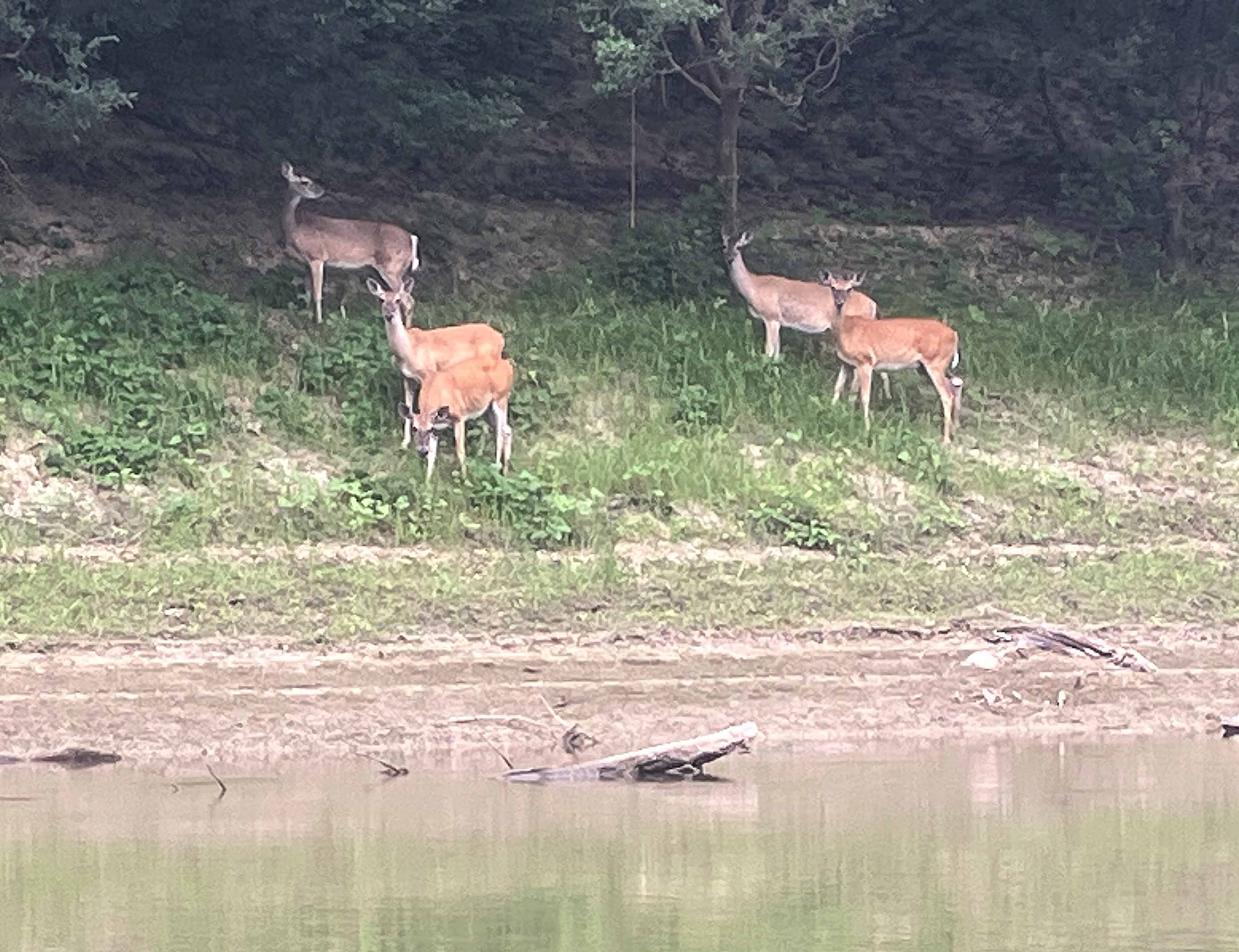
Above: Herd (five) of deer.
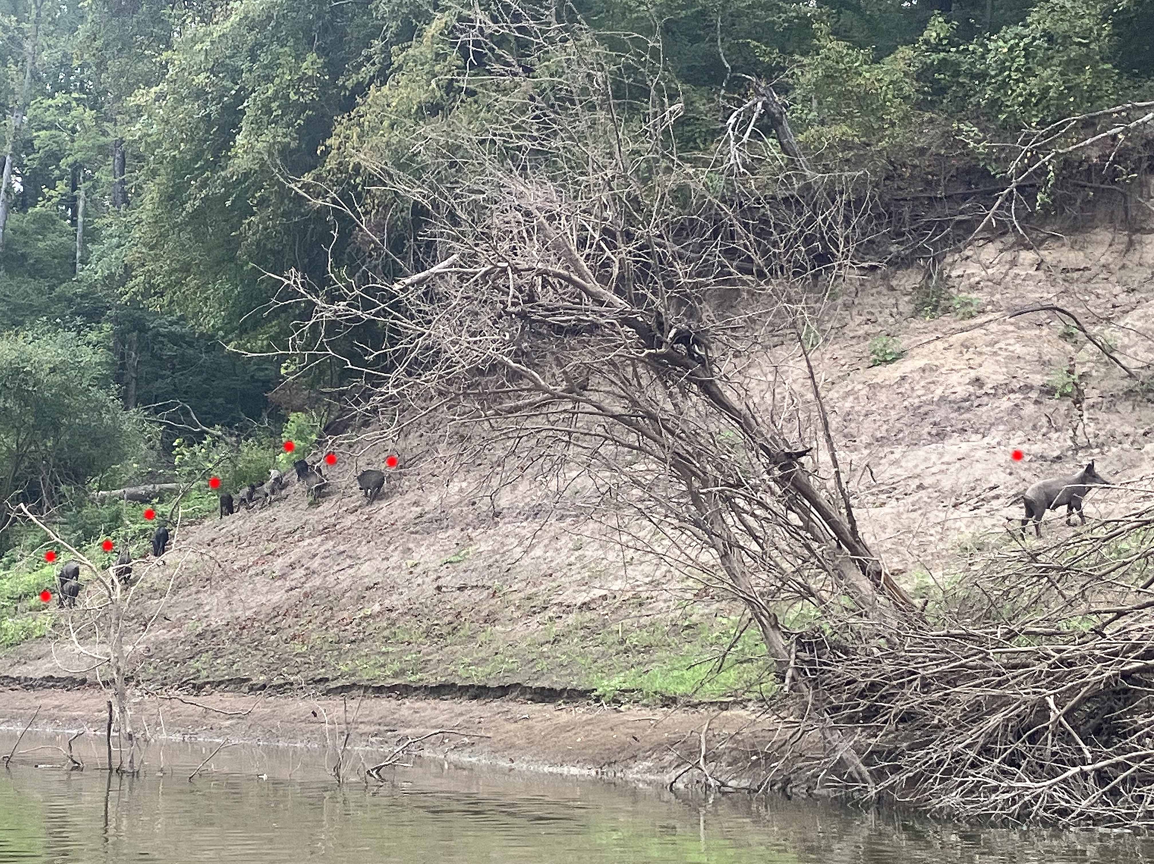
Above: Sounder of pigs? Passel of pigs?
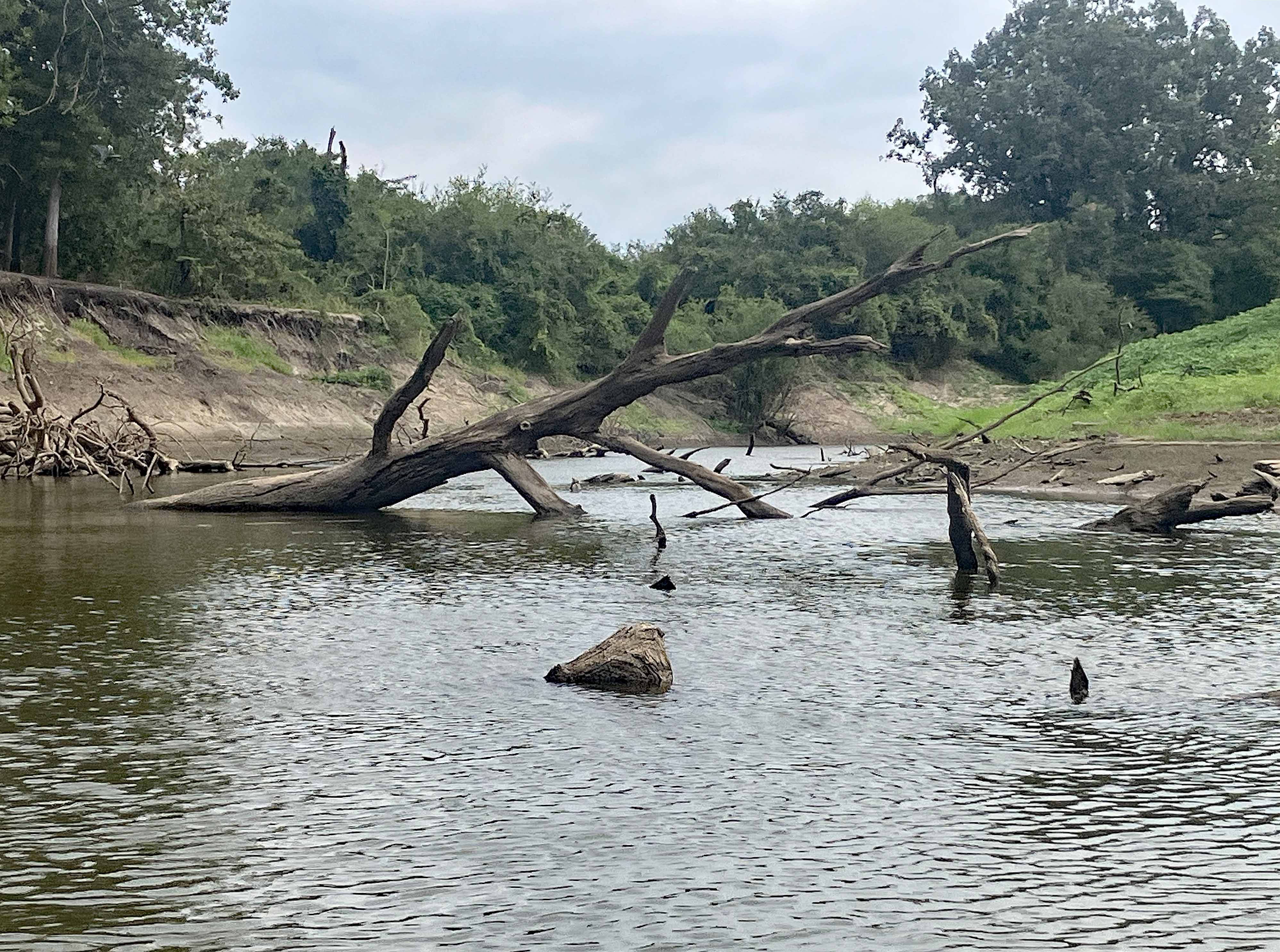
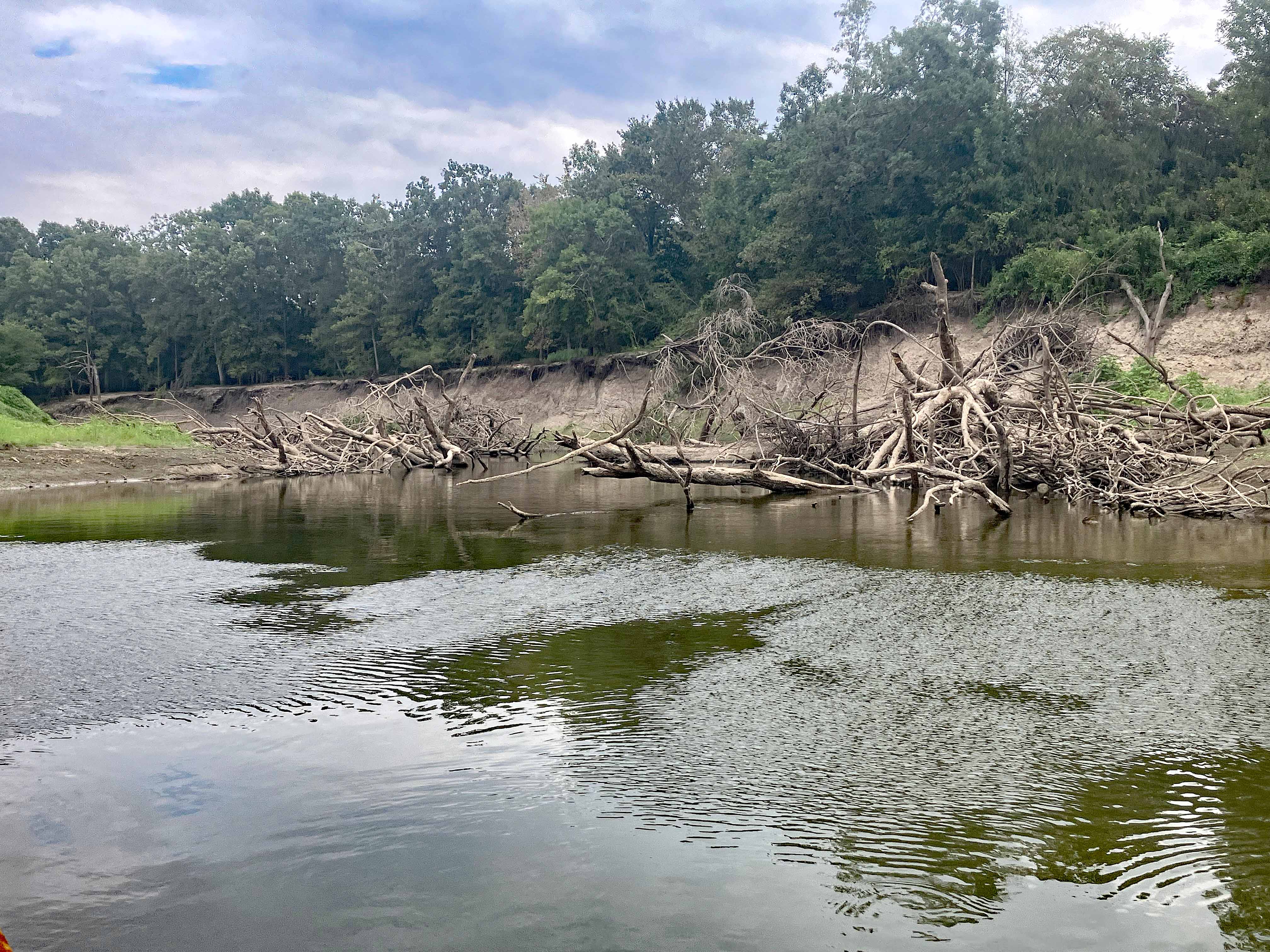
Above: Lots of tree debris in the water the entire way, but a water passage could be found, no portages.
