Sulphur River, Sulphur River WMA, Road 211, Arkansas
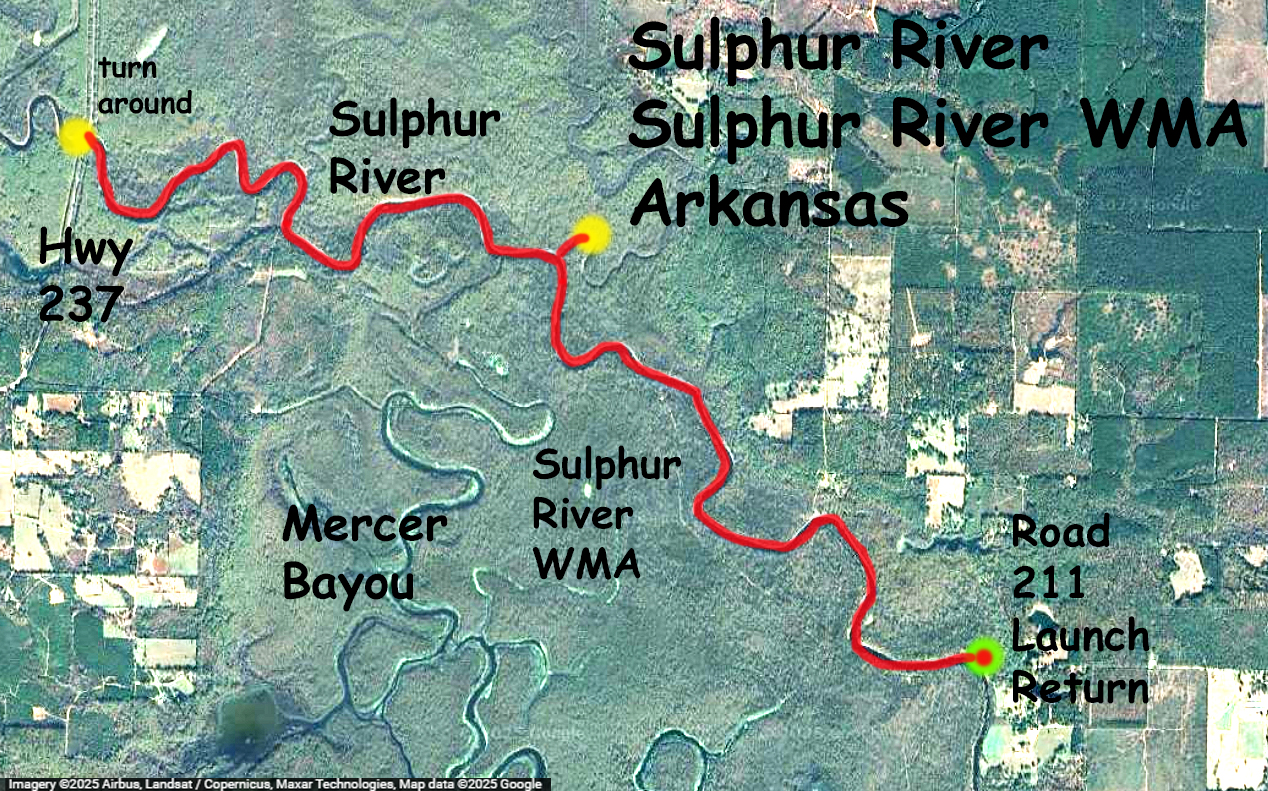
Kayak paddle trail map along the Sulphur River, launching at the end of a rural road 211 which is just to the west of Interstate 49 south of Texarkana. This section of the Sulphur River, in Arkansas, is below Wright-Patman lake but upstream of the confluence with the Red River, and it runs through the Sulphur River WMA. The launch is not a boat ramp, just a ‘pull off the road somewhere’ and drop the boat down to the river, as the pictures show. There is a real boat ramp a few miles further south just off of 49, but the spot here lets you go up into the Sulphur River WMA where both sides of the river are more isolated and woodsy. The route goes up to the point of the Highway 237 bridge, then back. Water levels were low so the banks were pretty muddy, and there was very little current (the Sulphur River nr Texarkana gage said 7.5). Cool day, easy paddle, no portages, but lots of tree debris in the water. Big alligator gar rise to the surface like grey submarines, and there were several alligators and a pig or two. Nice paddle.
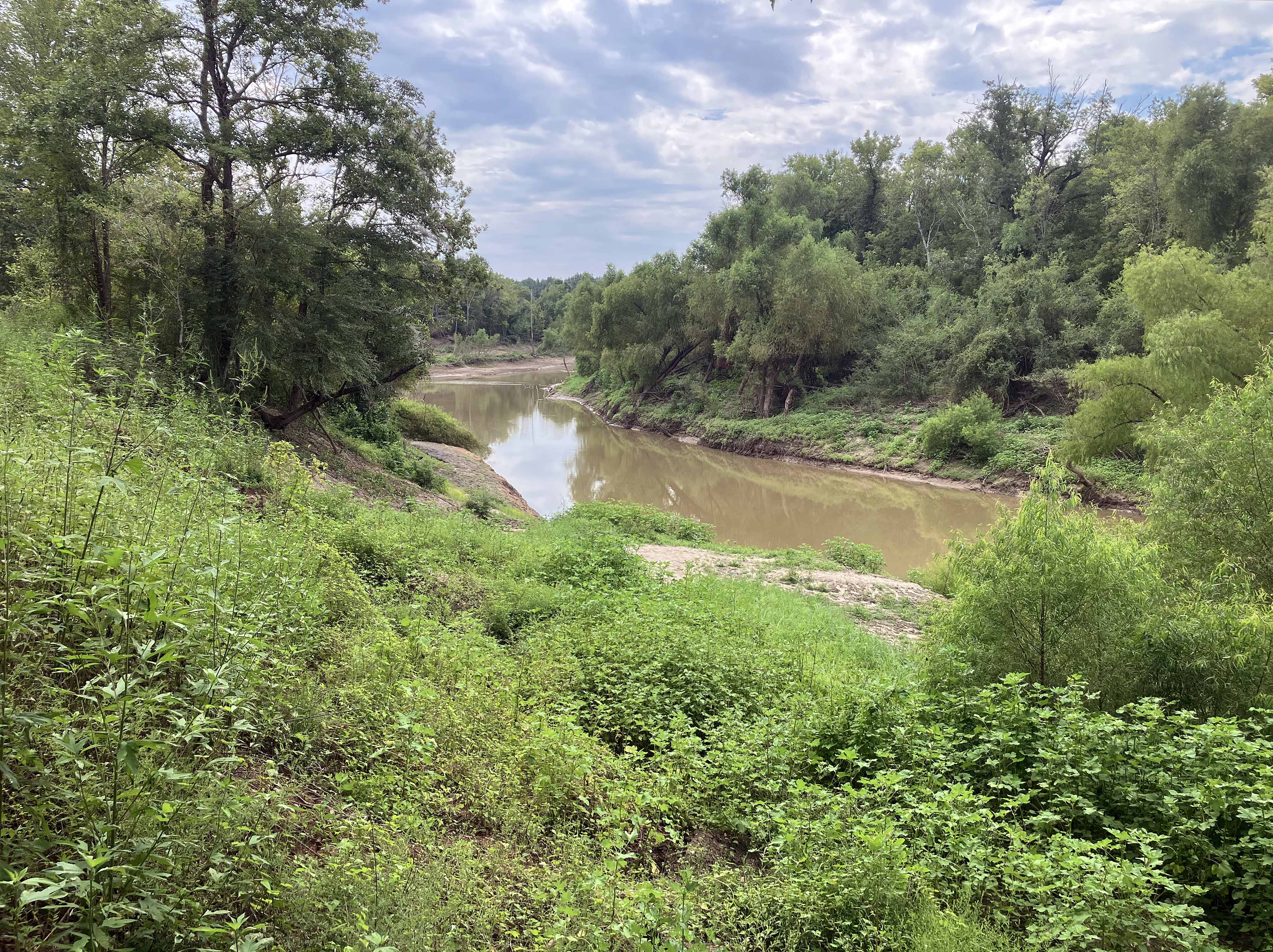
Above: View near the launch, looking down. Its hard to tell from pictures like this if its steep or not so…
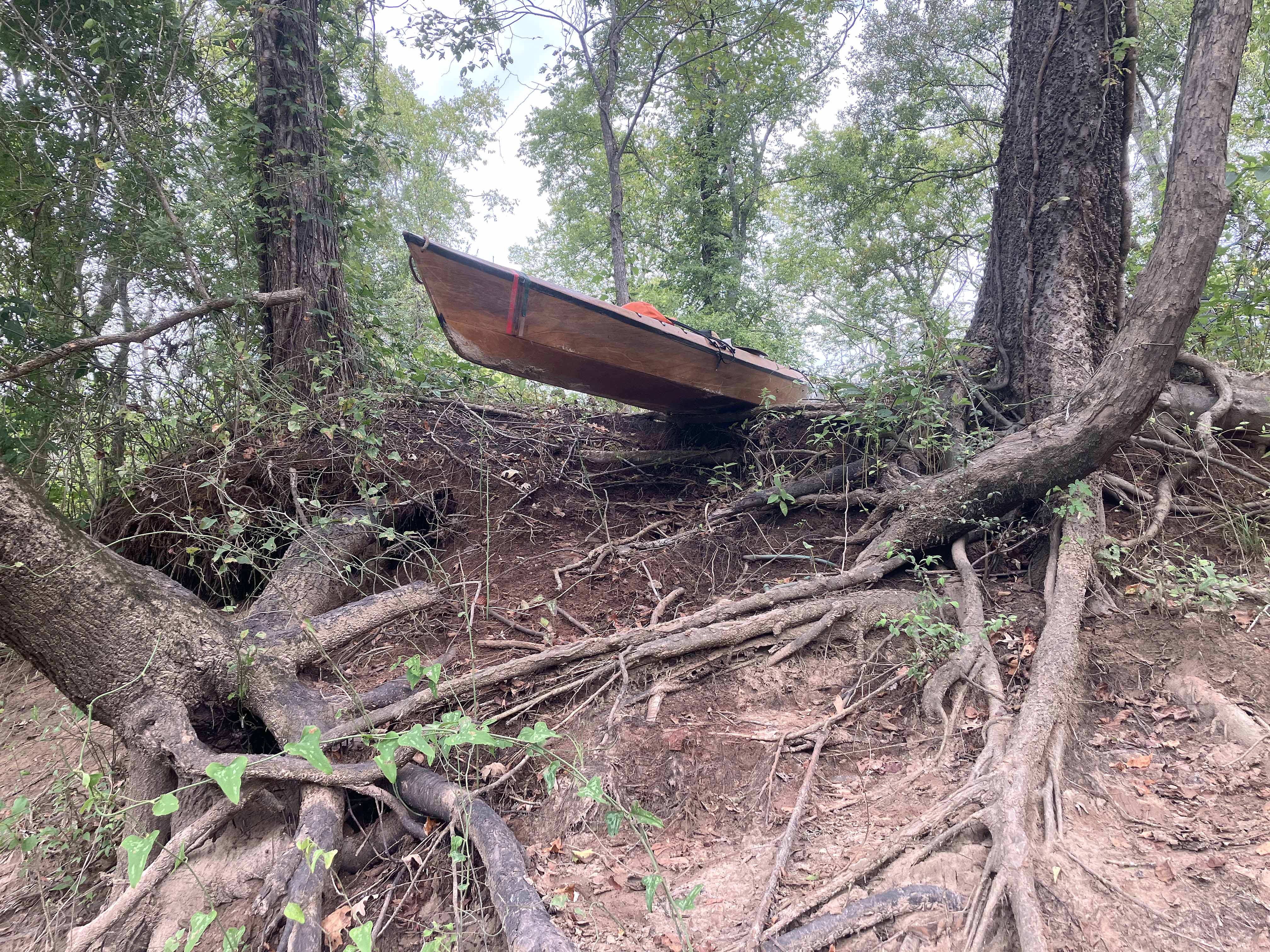
Above: …here is a picture at the lip of the drop off going down to the river. The tree on the left is tilted over pretty good.
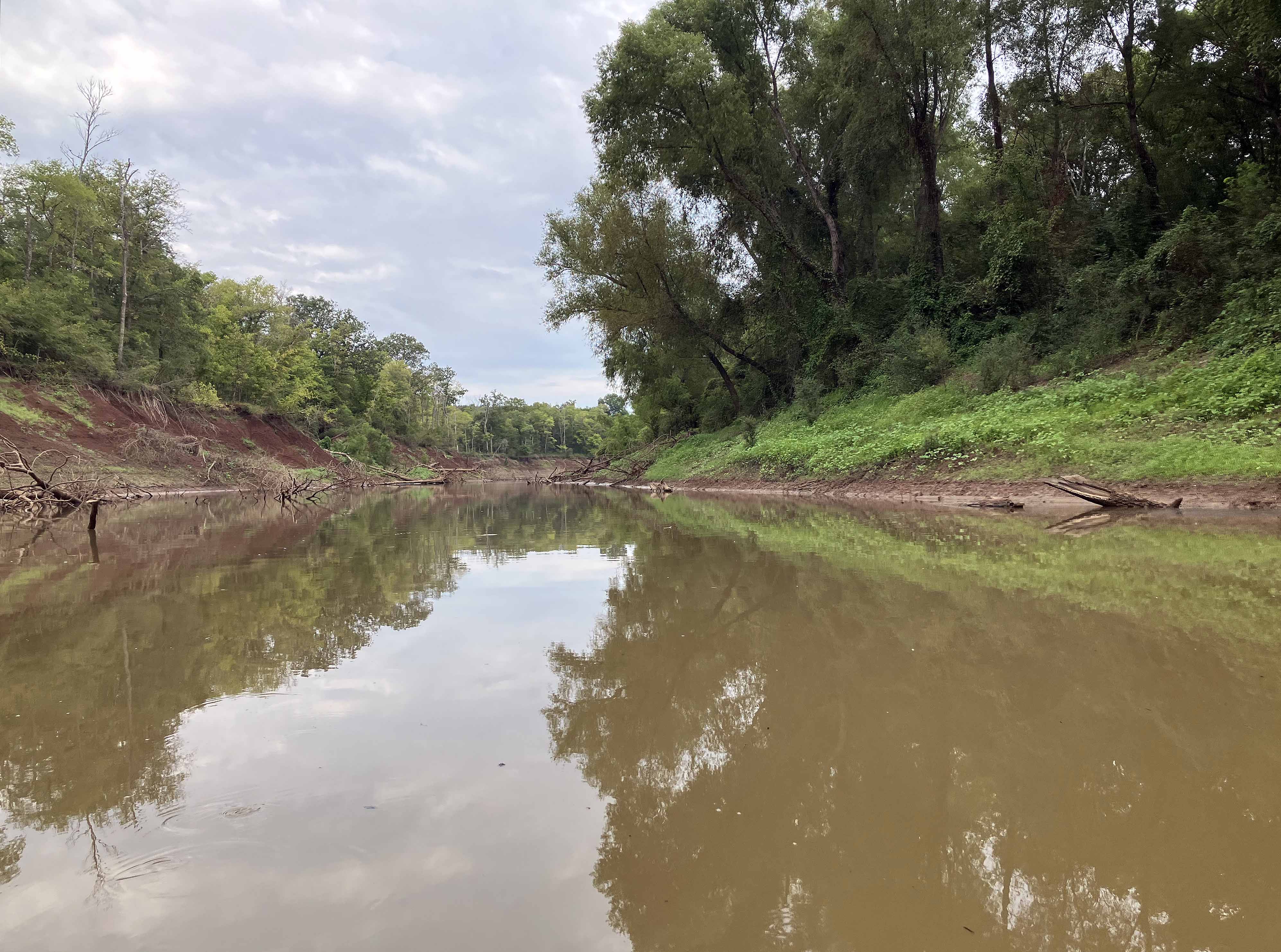
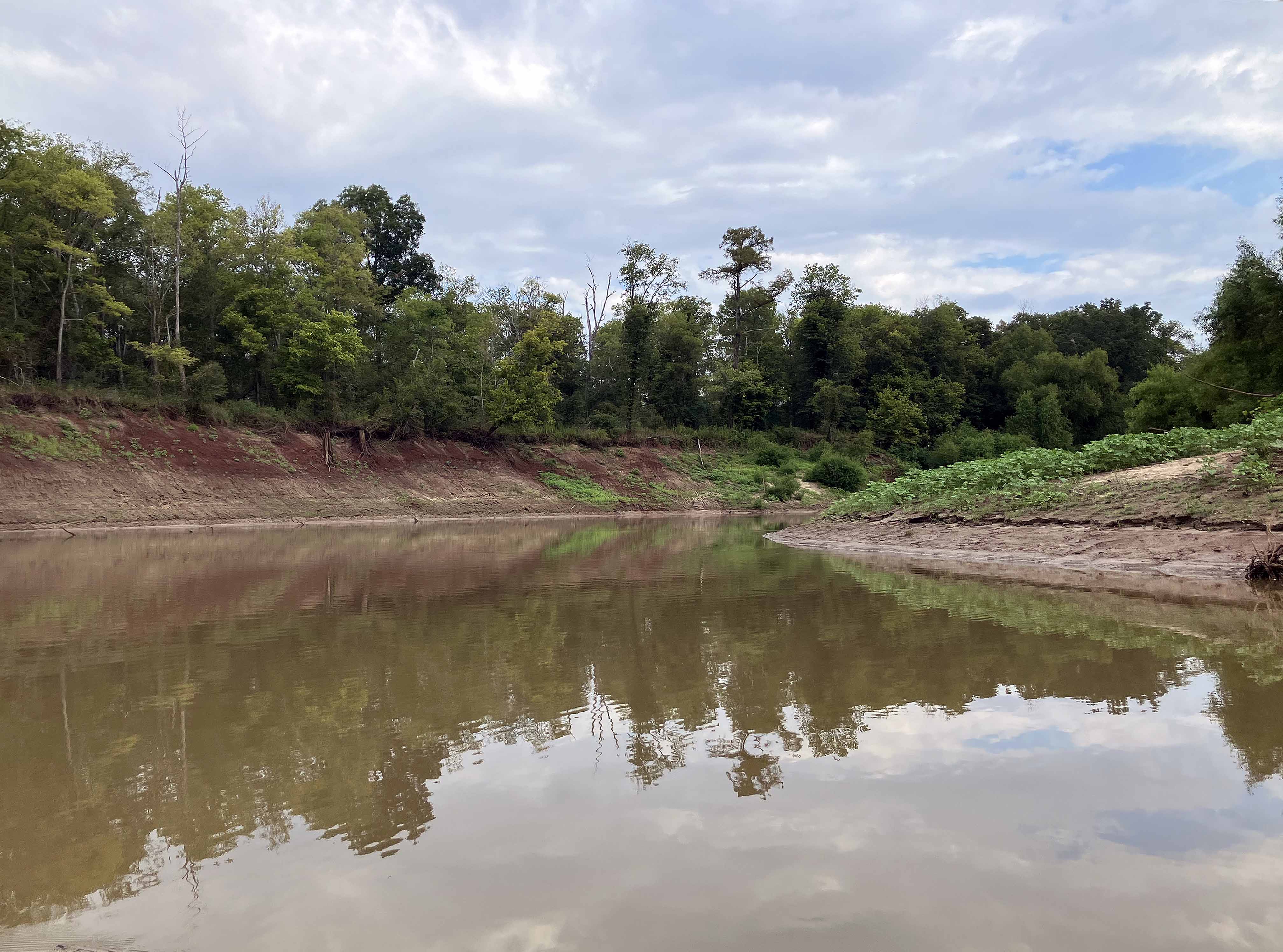
Above: Typical look of the river on this cloudy day.
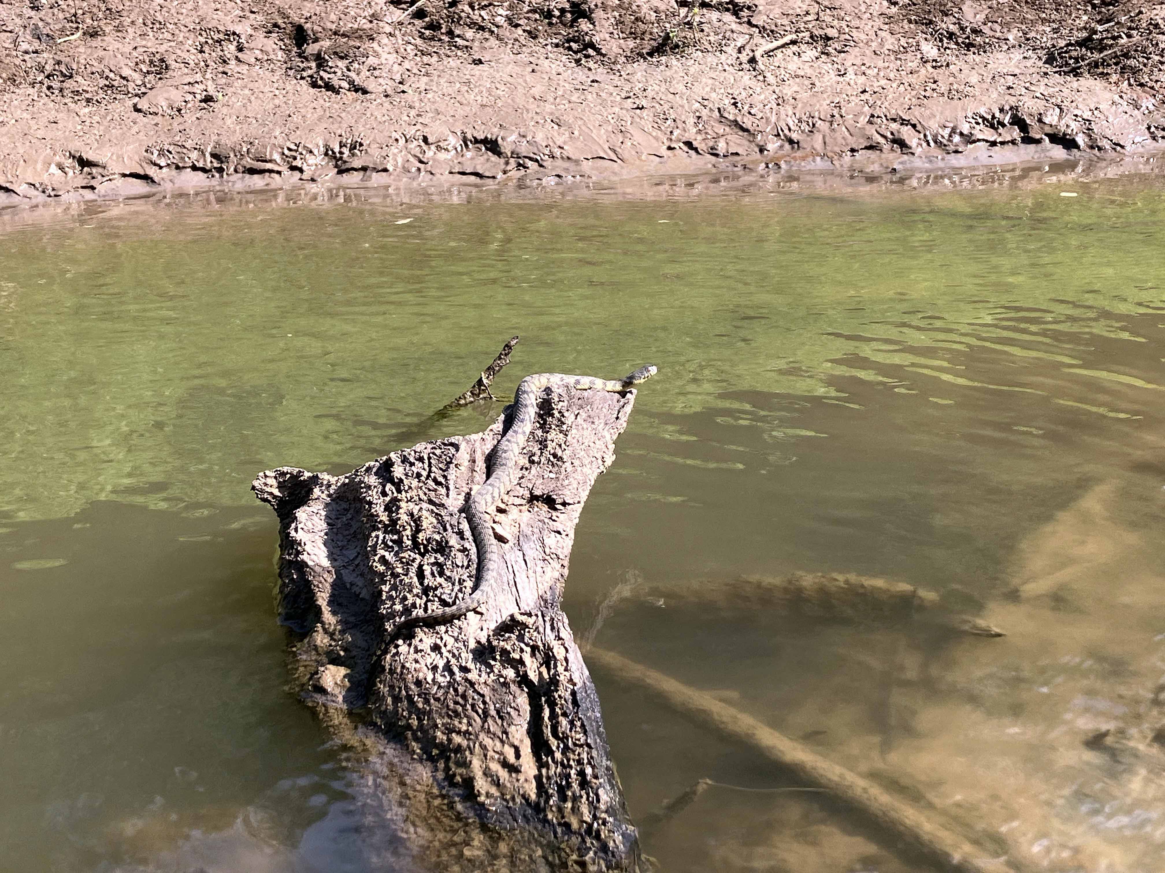
Above: Find the snake.
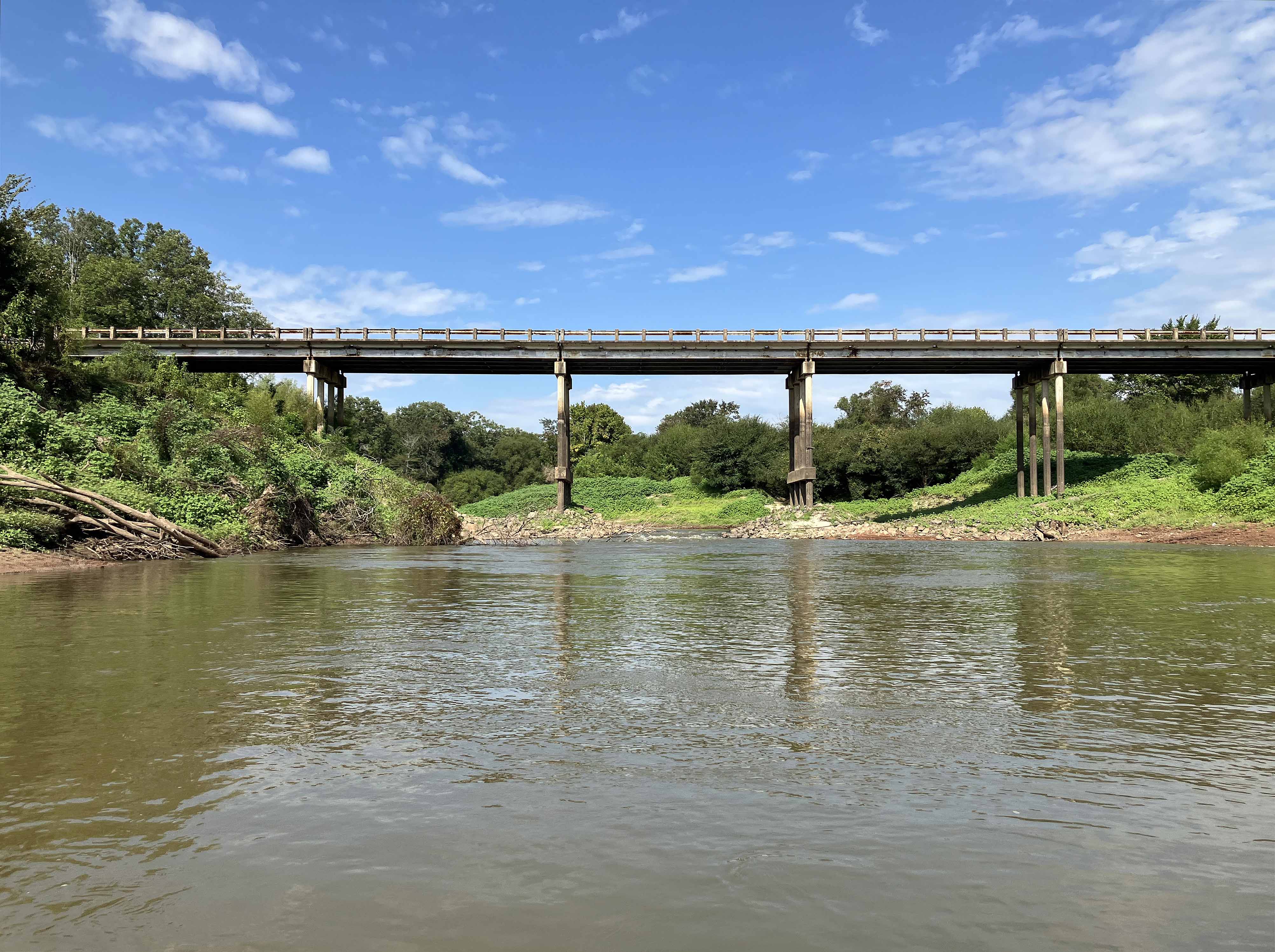
Above: The highway 237 turnaround.
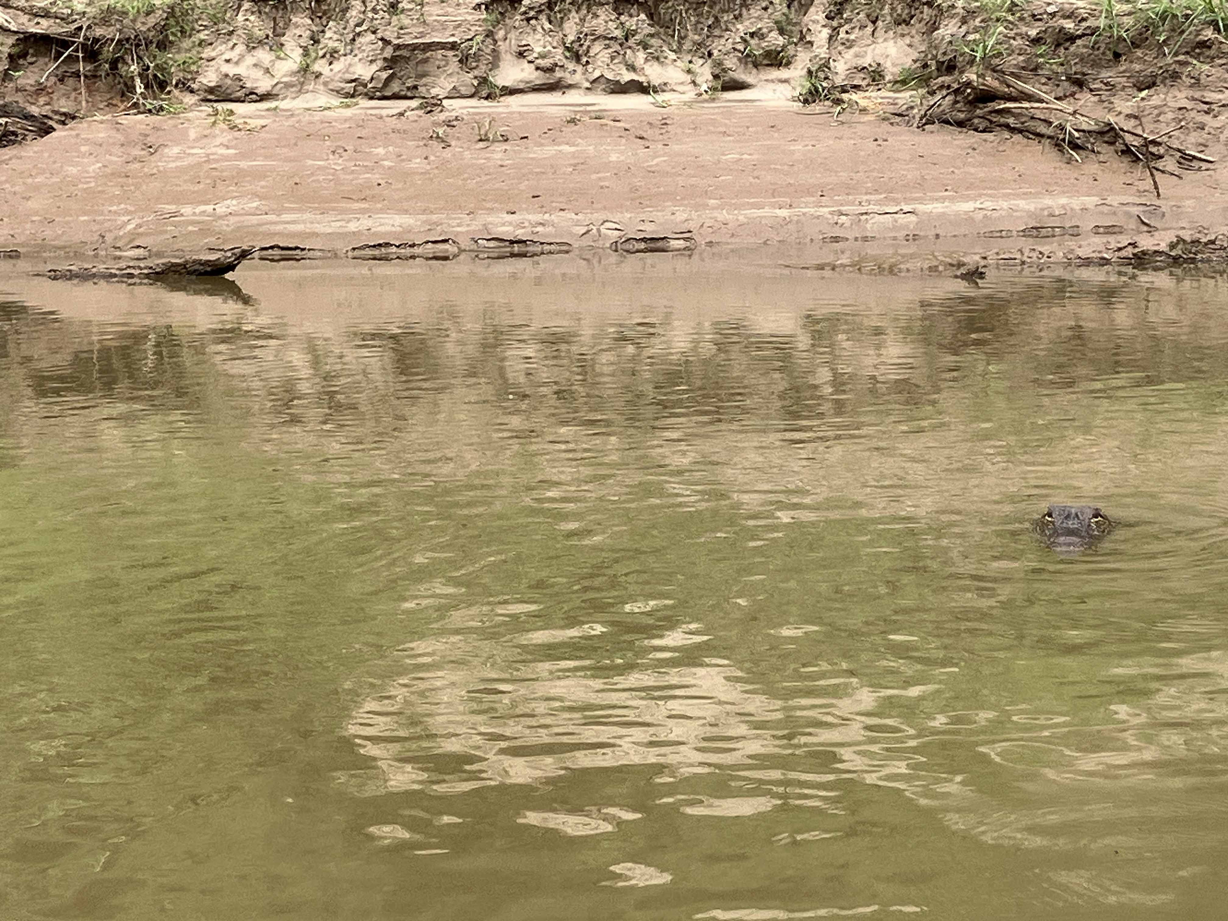
Above: Expand to find the alligator.
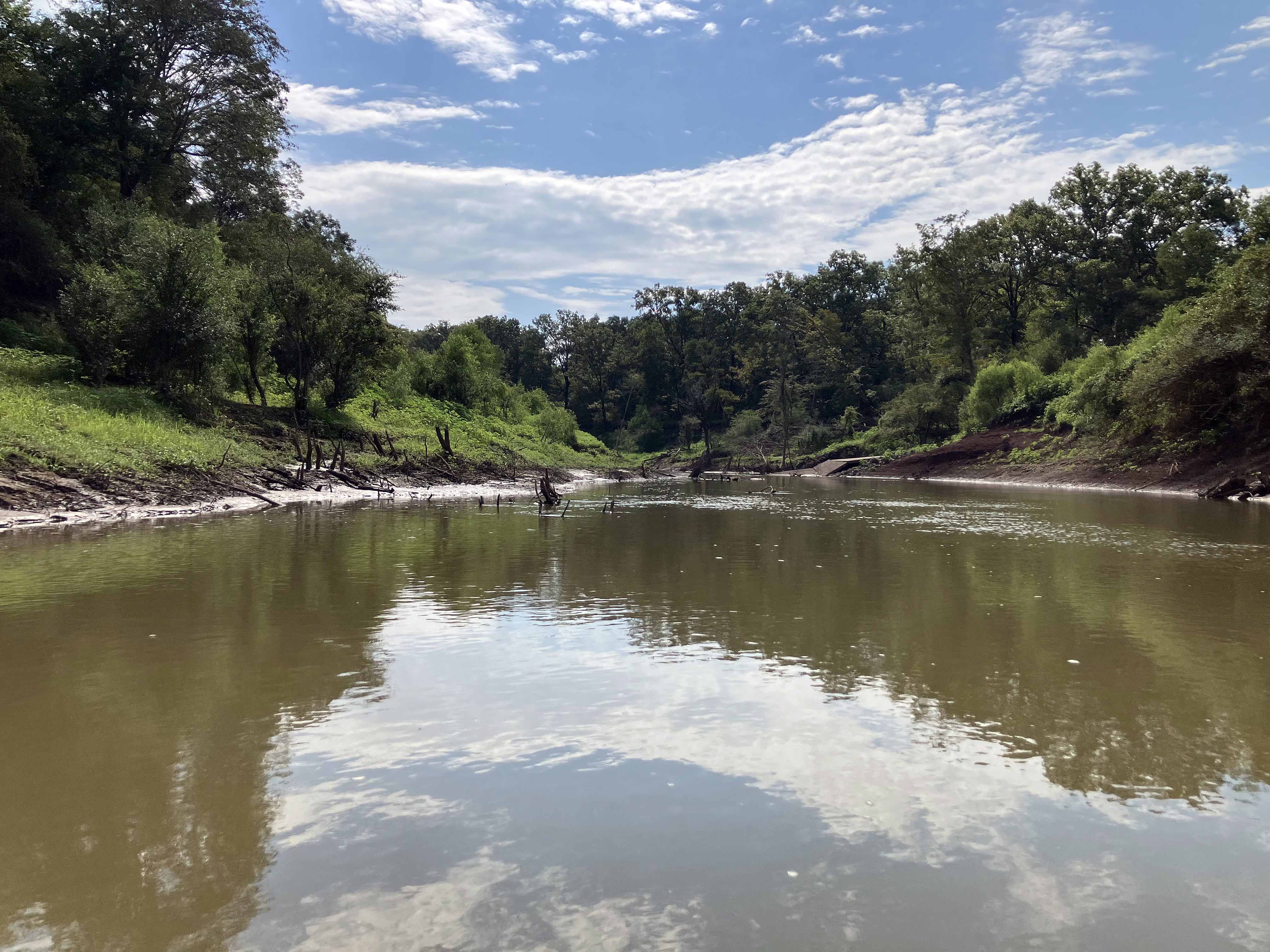
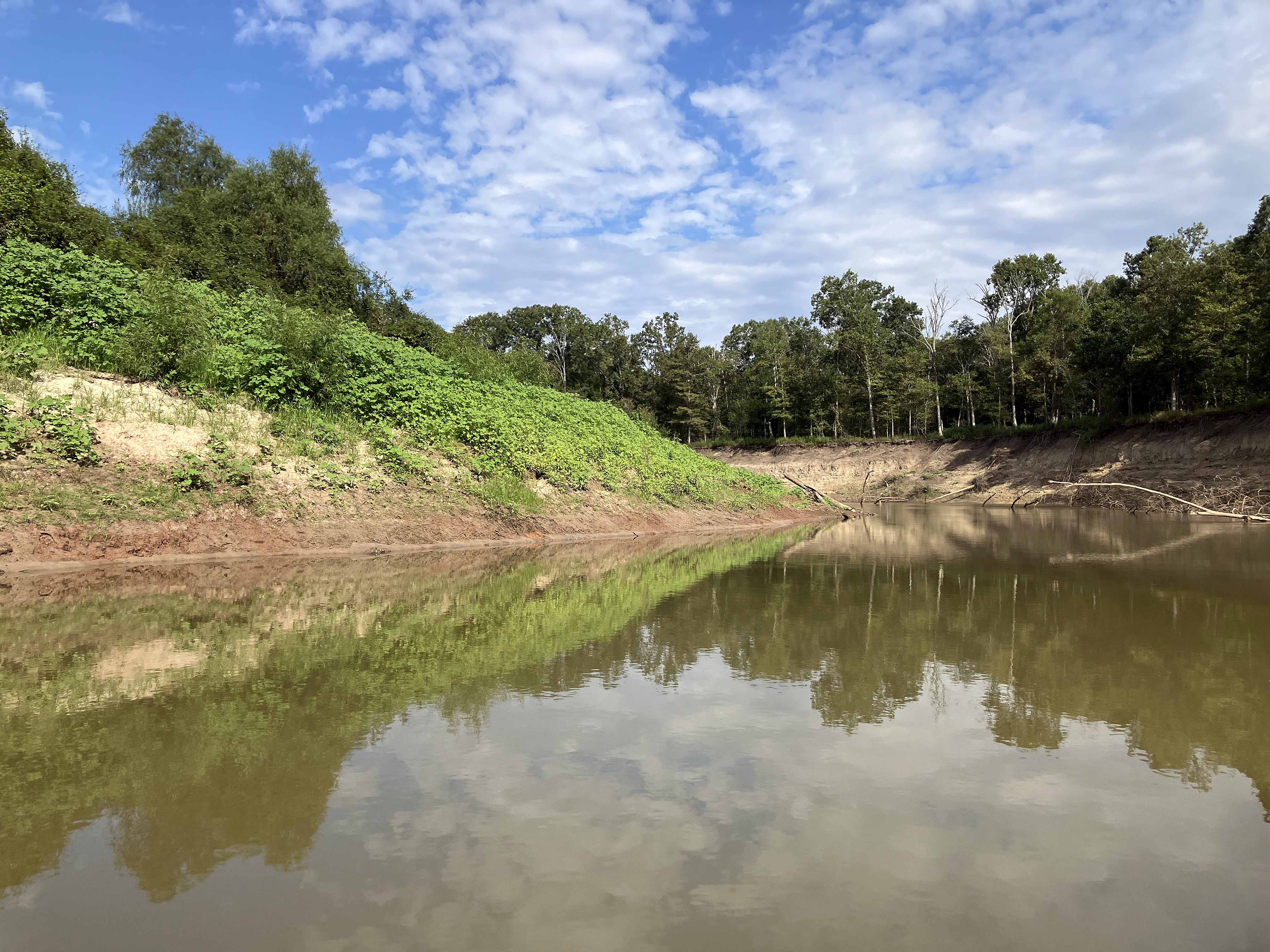
Above: Things brightened up later in the day.
