Sulphur River, TX, Hwy 259 Launch, going up
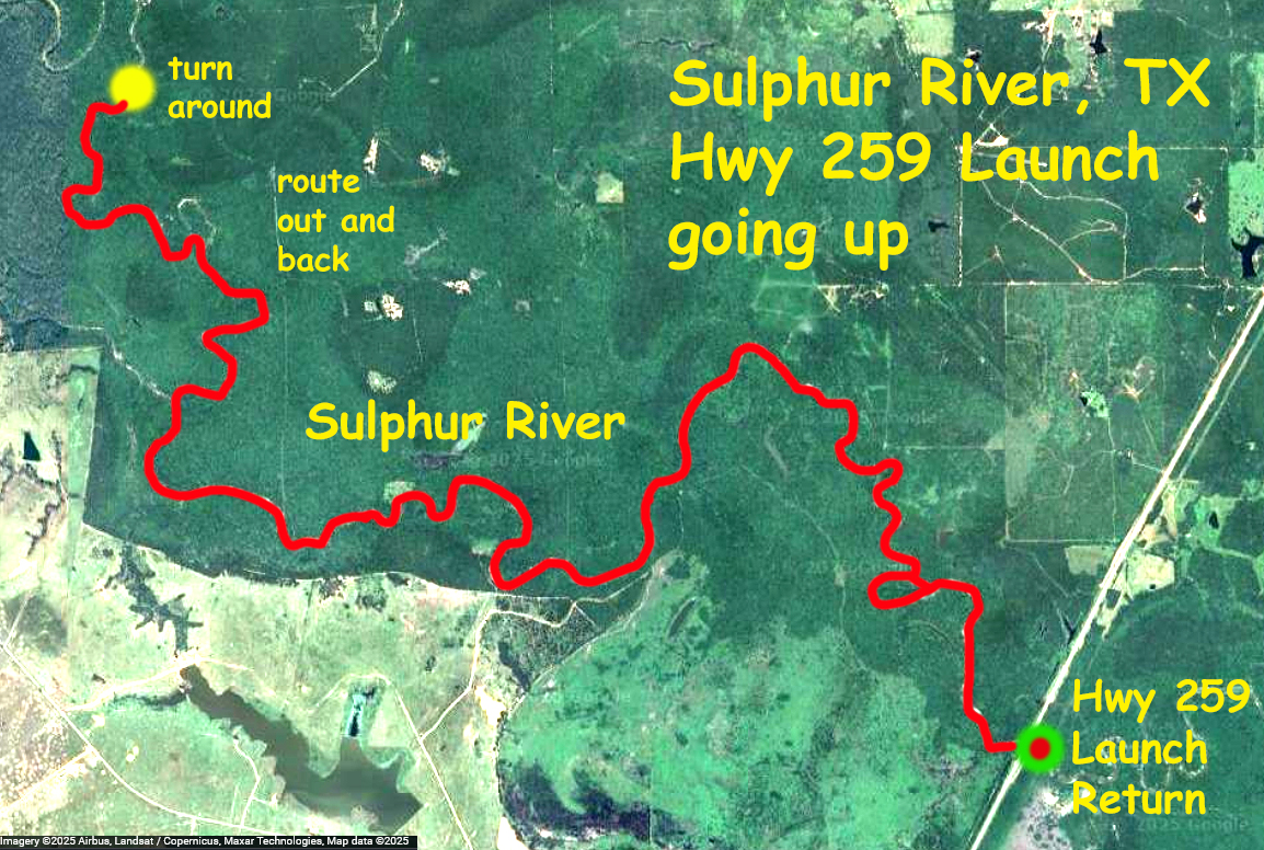
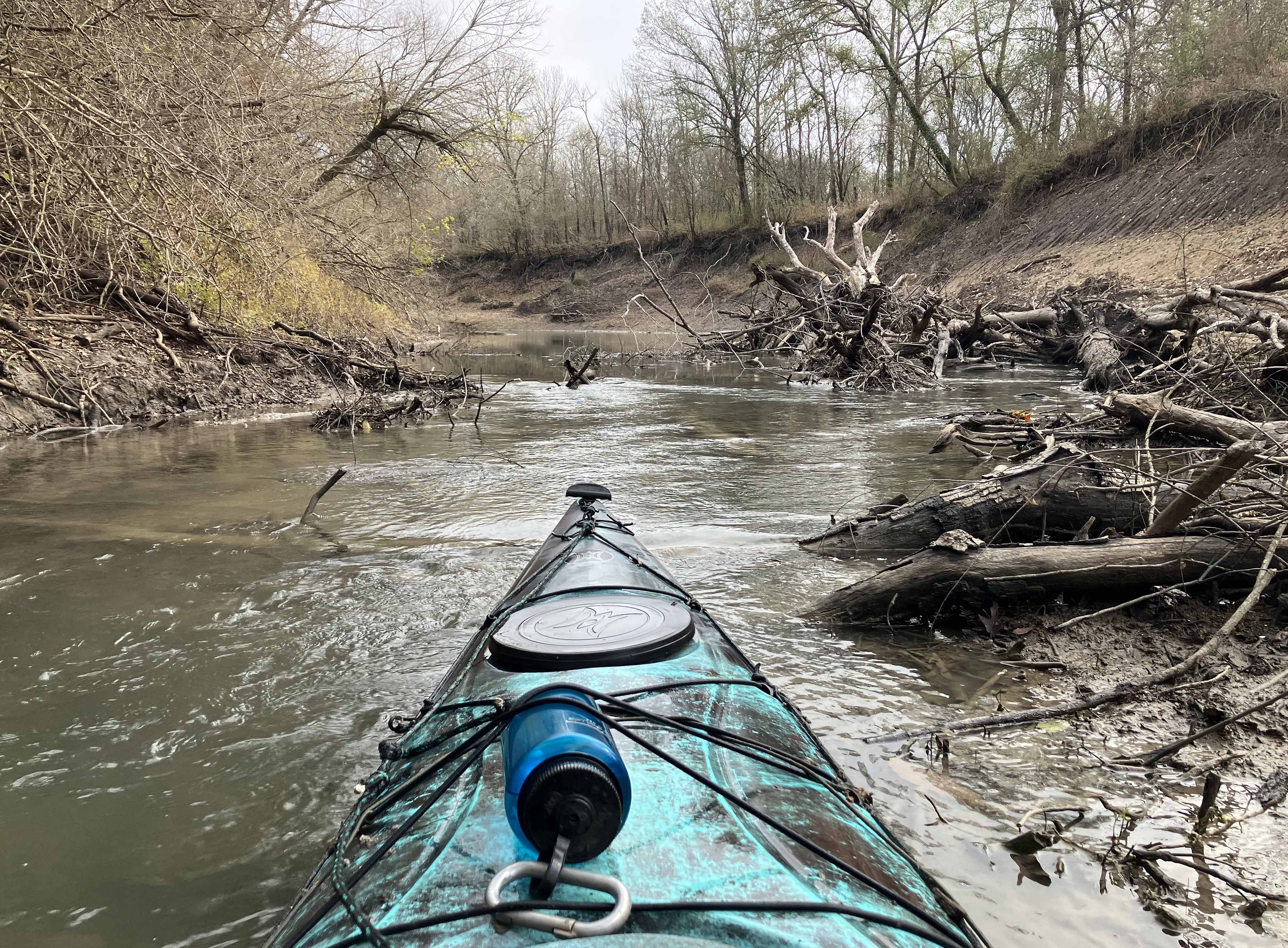
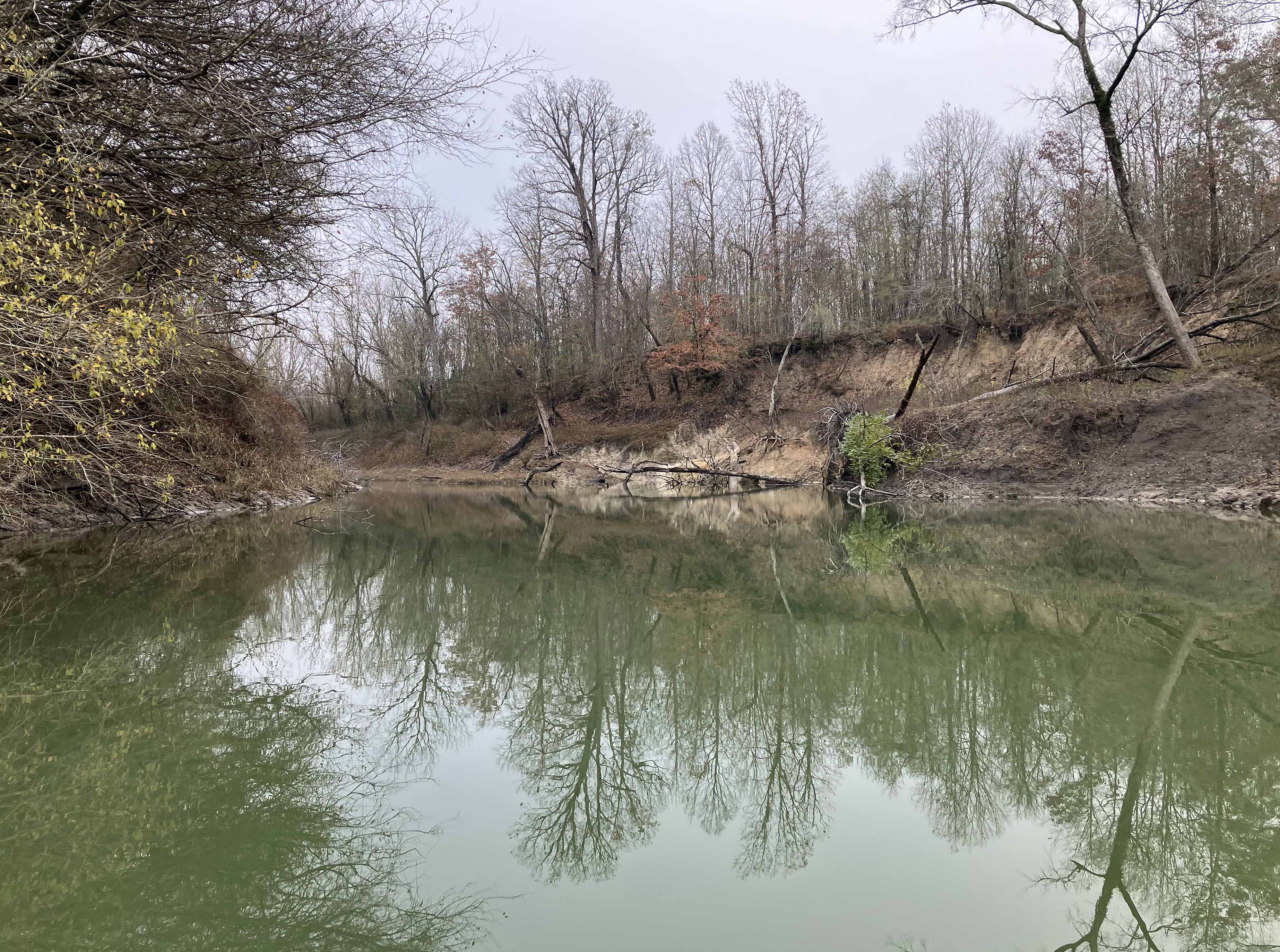
Kayak paddle trail route map on the Sulphur RIver, TX, starting at the Highway 259 Launch. This is a second trip from this launch, this time going upstream. The USGS flow rate of the Sulphur River at I-30 was about 25 cfs, much better than the earlier trip going downstream when the river was at 1 cfs and which was pretty rough log jam-wise. And it had recently flooded so maybe that cleared stuff out as well. The river was wide most places, mild current, easy to paddle, with only a few get out of the boat portages. It should be possible to paddle further upstream but I haven’t found good put-in spots. Saw three beavers and some deer. Winter can be a great time to paddle, stark, silent, crisp, the pictures show the feel of it. Three hours up to a turnaround point, two and a half back. Game warden was waiting, blocking the exit from ramp, verified I wasn’t hunting (there is a nearby White Oak Creek WMA that people camp/poach on), verified I had a life jacket, then told me some amusing stories, interesting fellow.
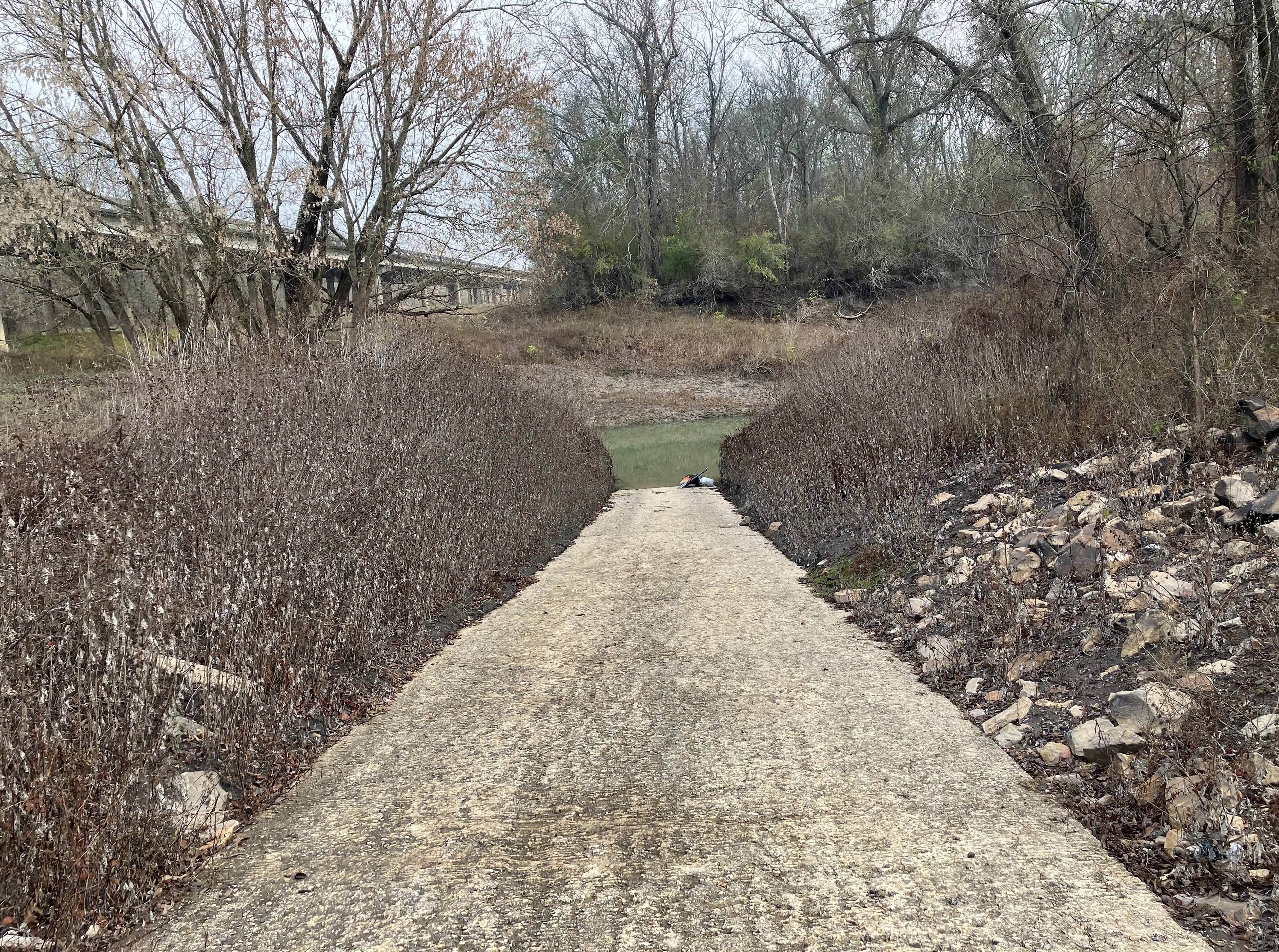
Above: The Sulphur River Highway 259 launch.
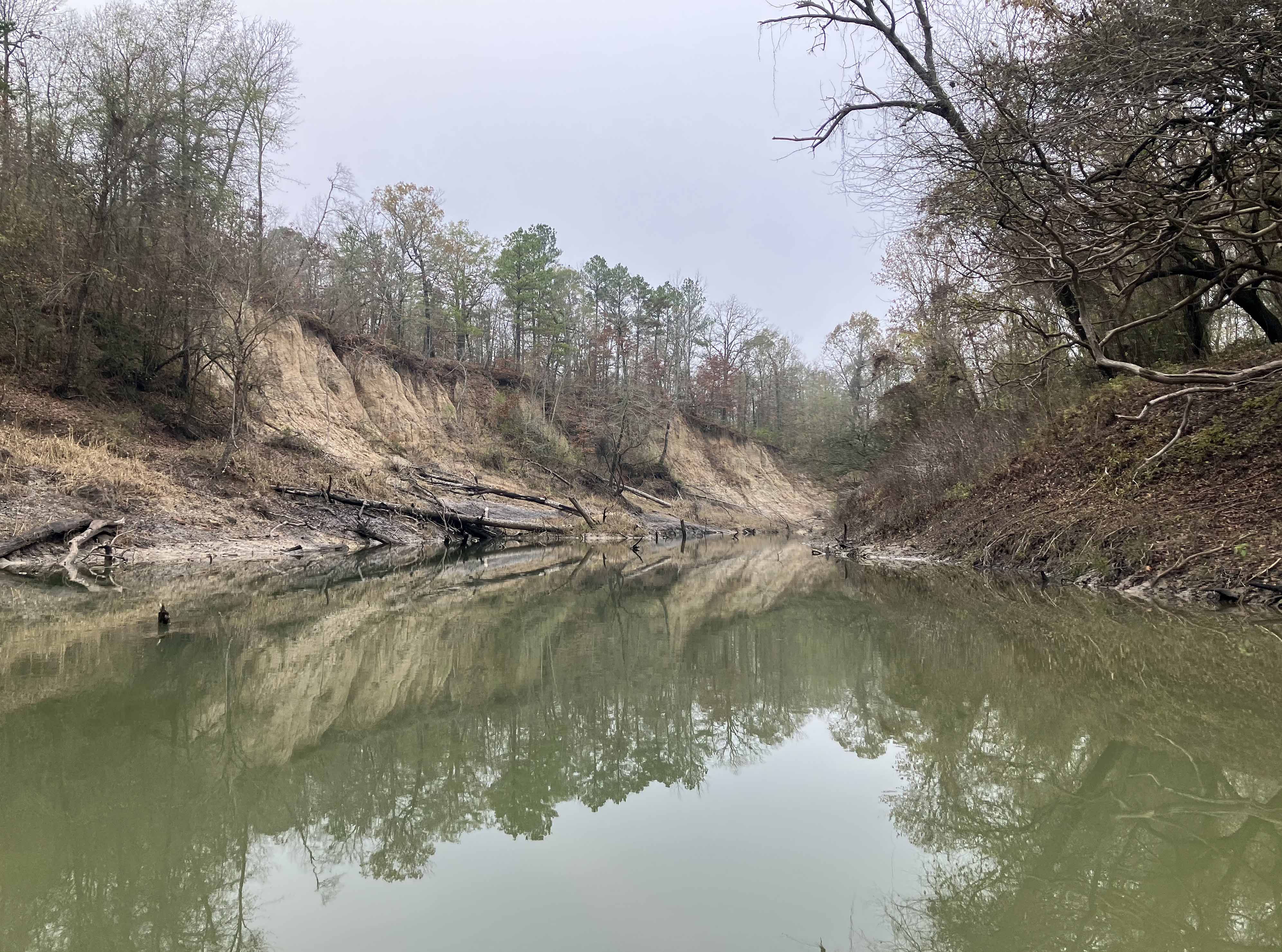
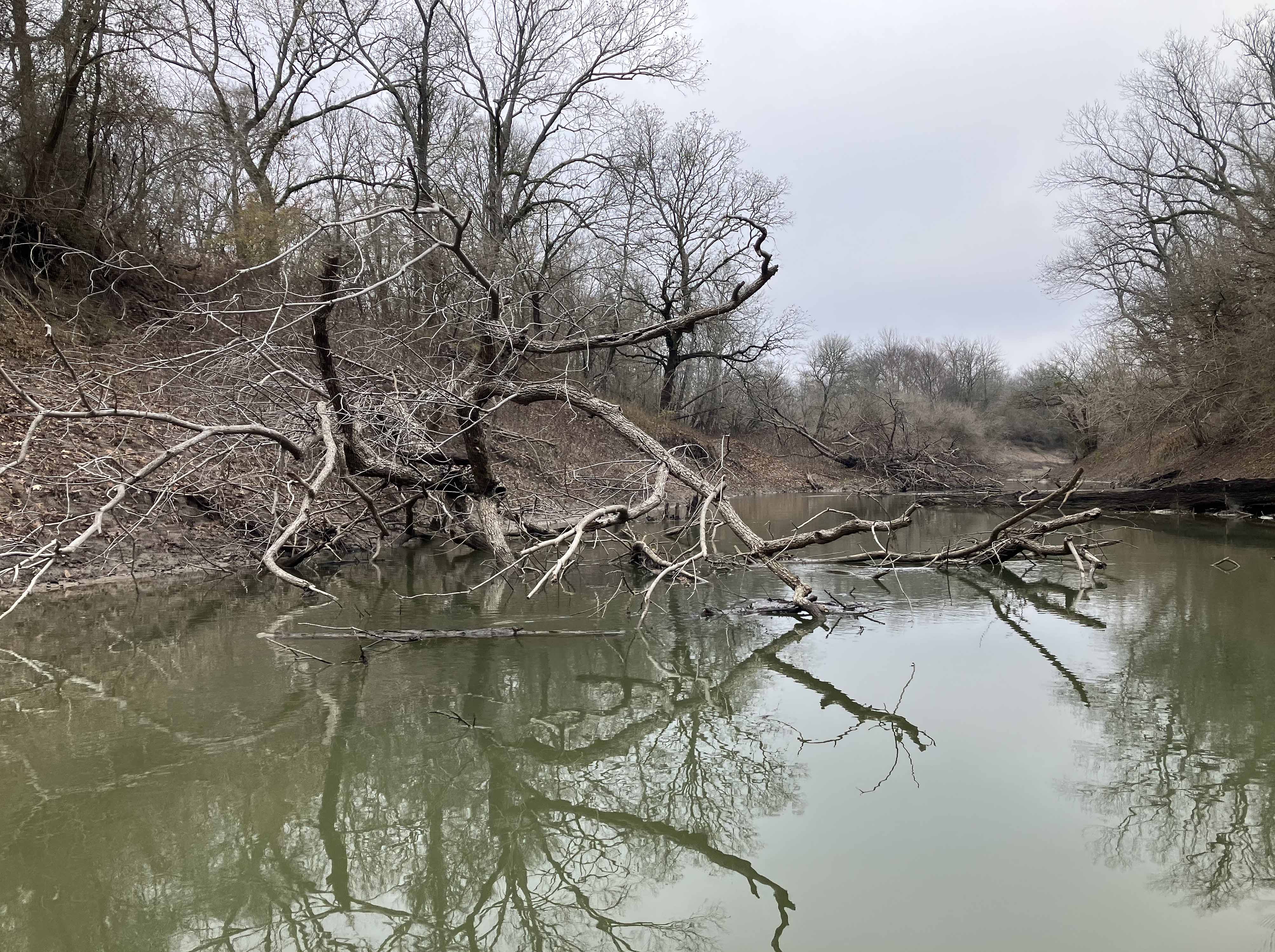
Above: Beautiful in winter.
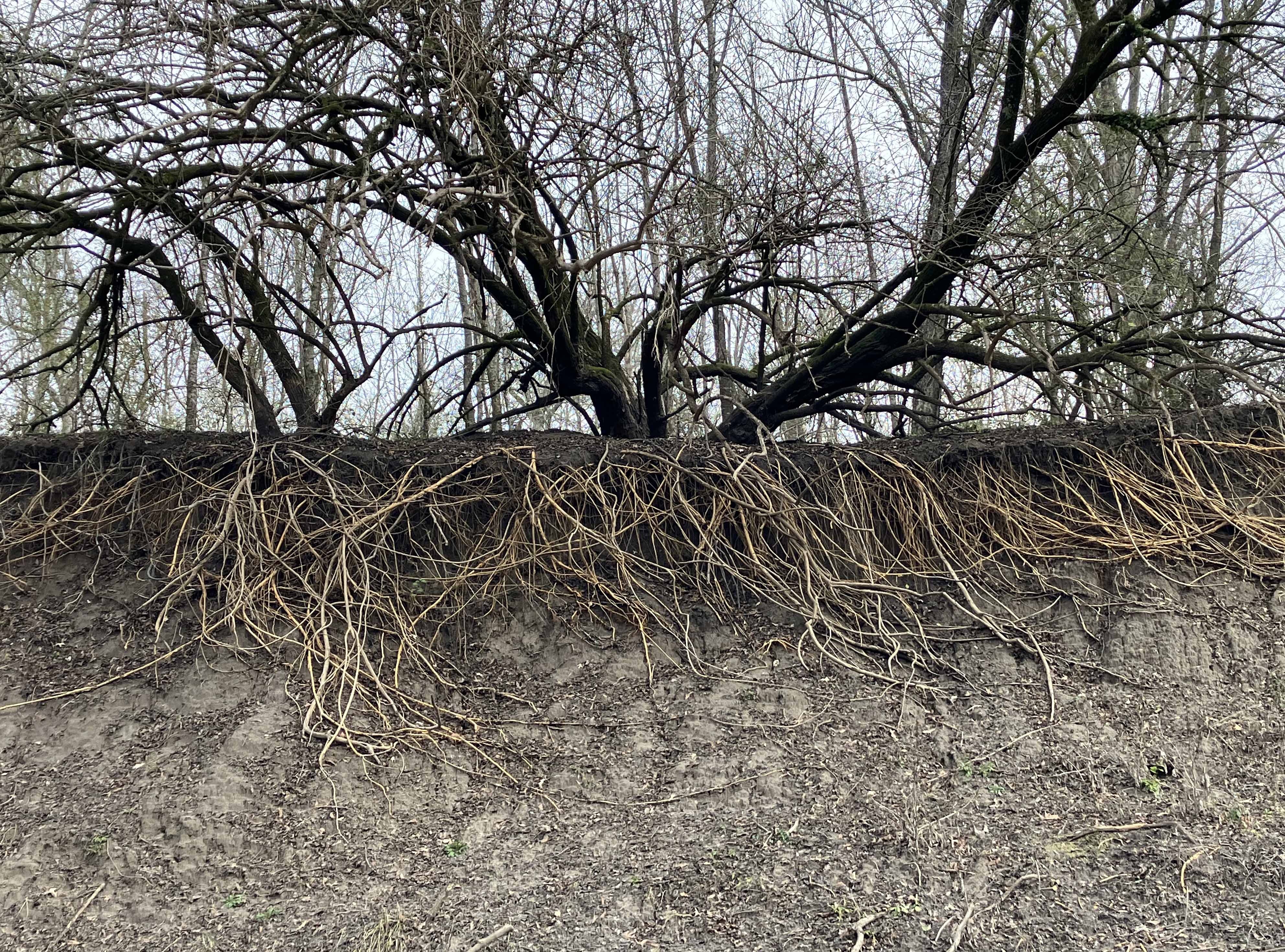
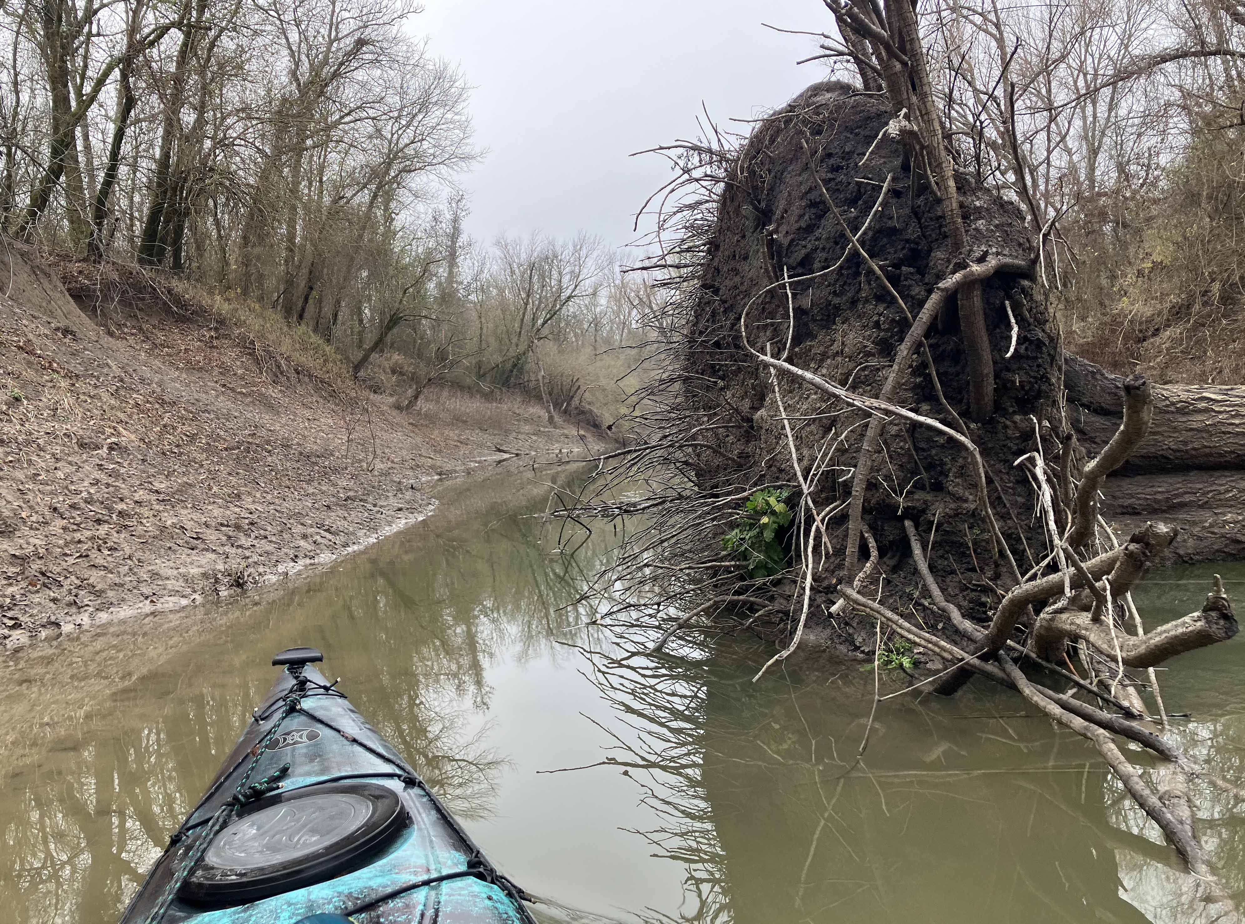
Above: Like those textbook illustrations of root systems.
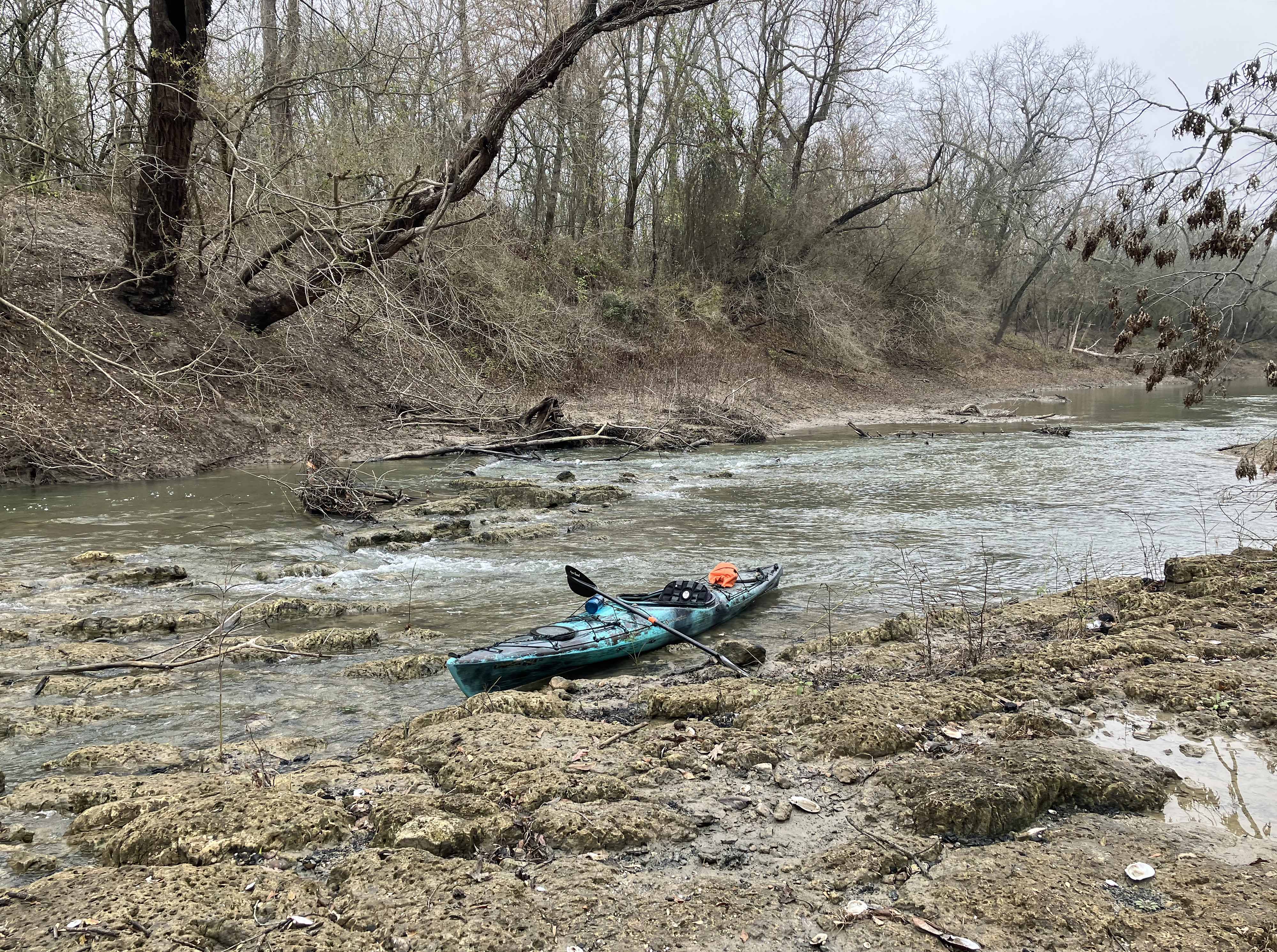
Above: One riffle, had to pull boat up past.
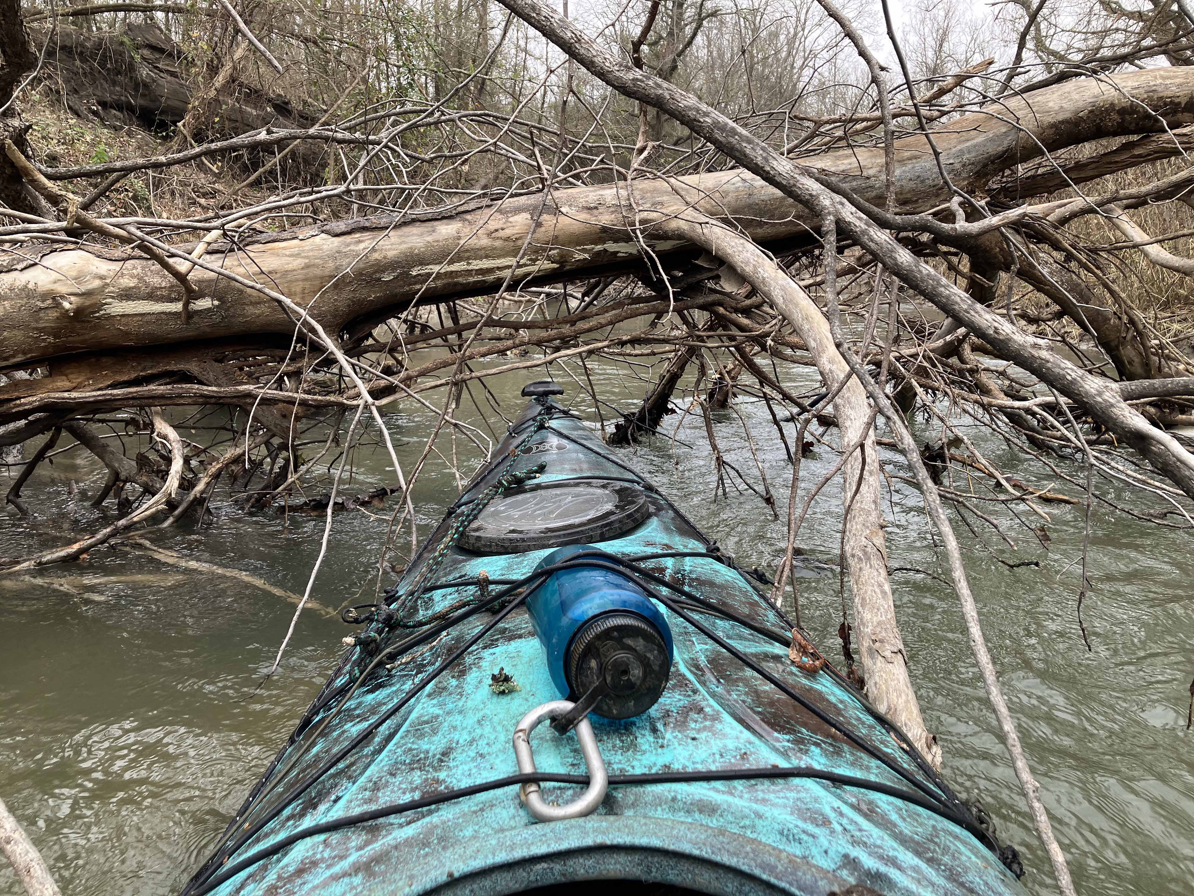
Above: Going under.
Above: Sometimes there is a gap like this off to the side.
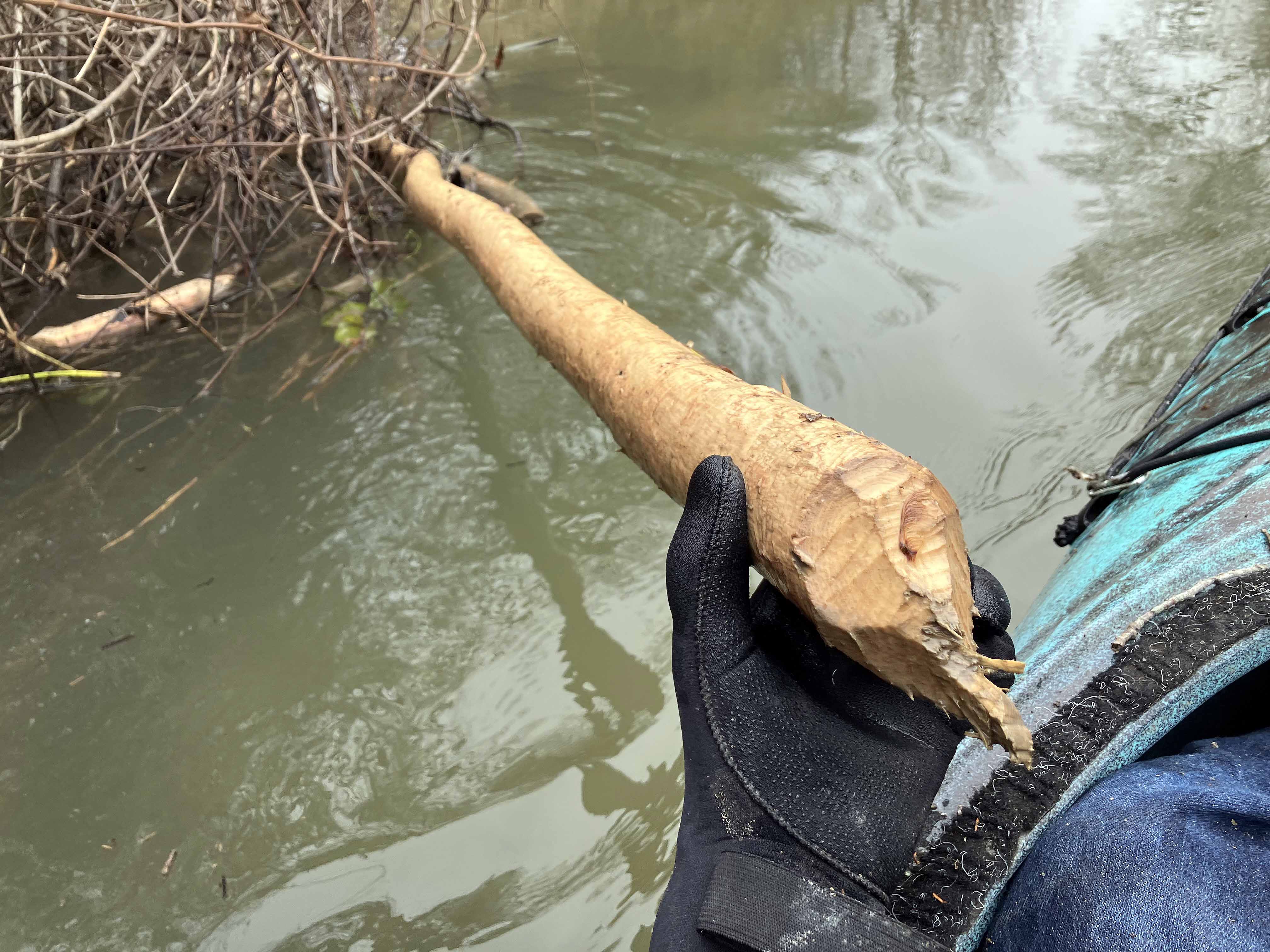
Above: These bright yellow-white, stripped branches are really noticeable, beavers.
