Twelve Mile Bayou, Soda Lake WMA, below Caddo, LA
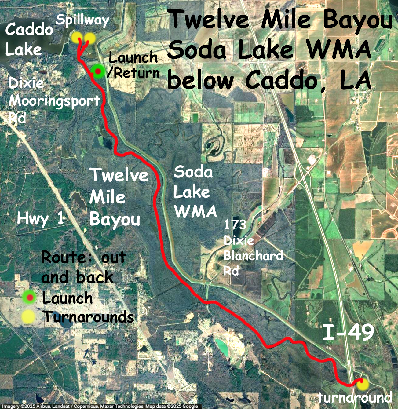
Kayak trail route map along Twelve (12) Mile Bayou in northwest Lousiana. Twelve Mile is the downstream output of Caddo Lake and Big Cypress Bayou; it starts from spillway and empties into the Red River in Shreveport. The launch is off of Dixie Mooringsport Road. The land near the launch and along the banks at the north end of the bayou is part of the Soda Lake WMA. The bayou is fairly wide and involves flatwater paddling down and back. The gage for this trip read about 9.5 cfs which is really no current here at all. The water was low, the banks were relatively steep, not a lot of variation, just paddle and look at the scenery. On the way back though I did see an ~5 foot alligator on the bank, as well as a bunch of black vultures eating a dead pig in the water. So that added some variety. The trip went down to the Interstate 49 bridge and back, along with a short section afterwards to check out the spillway. While it’s interesting to see the downstream side of Caddo Lake, it’s really a water control corridor and not the sprawl of the upstream cypress swamp.
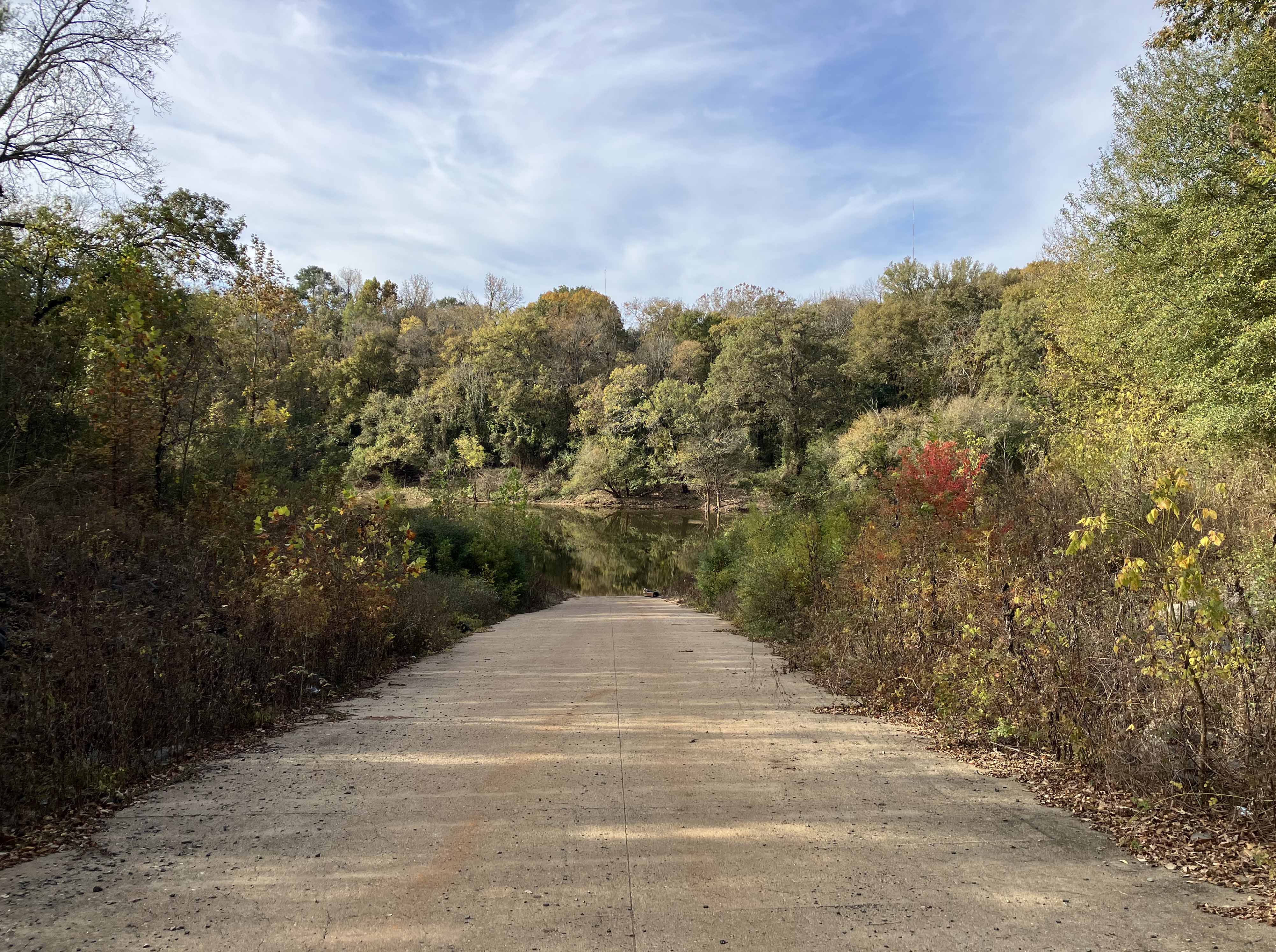
Above: The boat launch off of Dixie Mooringsport Road.
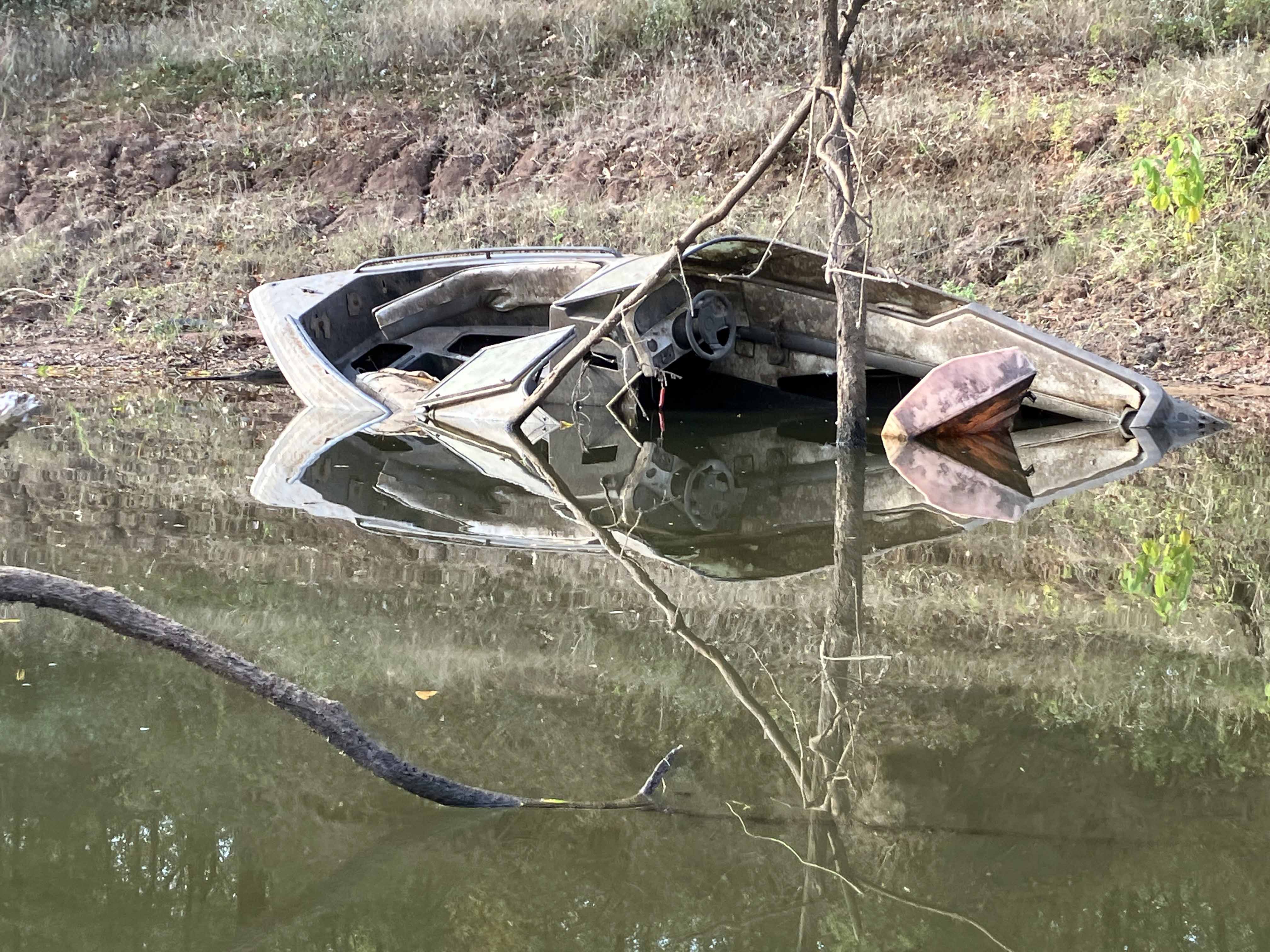
Above: Disaster.
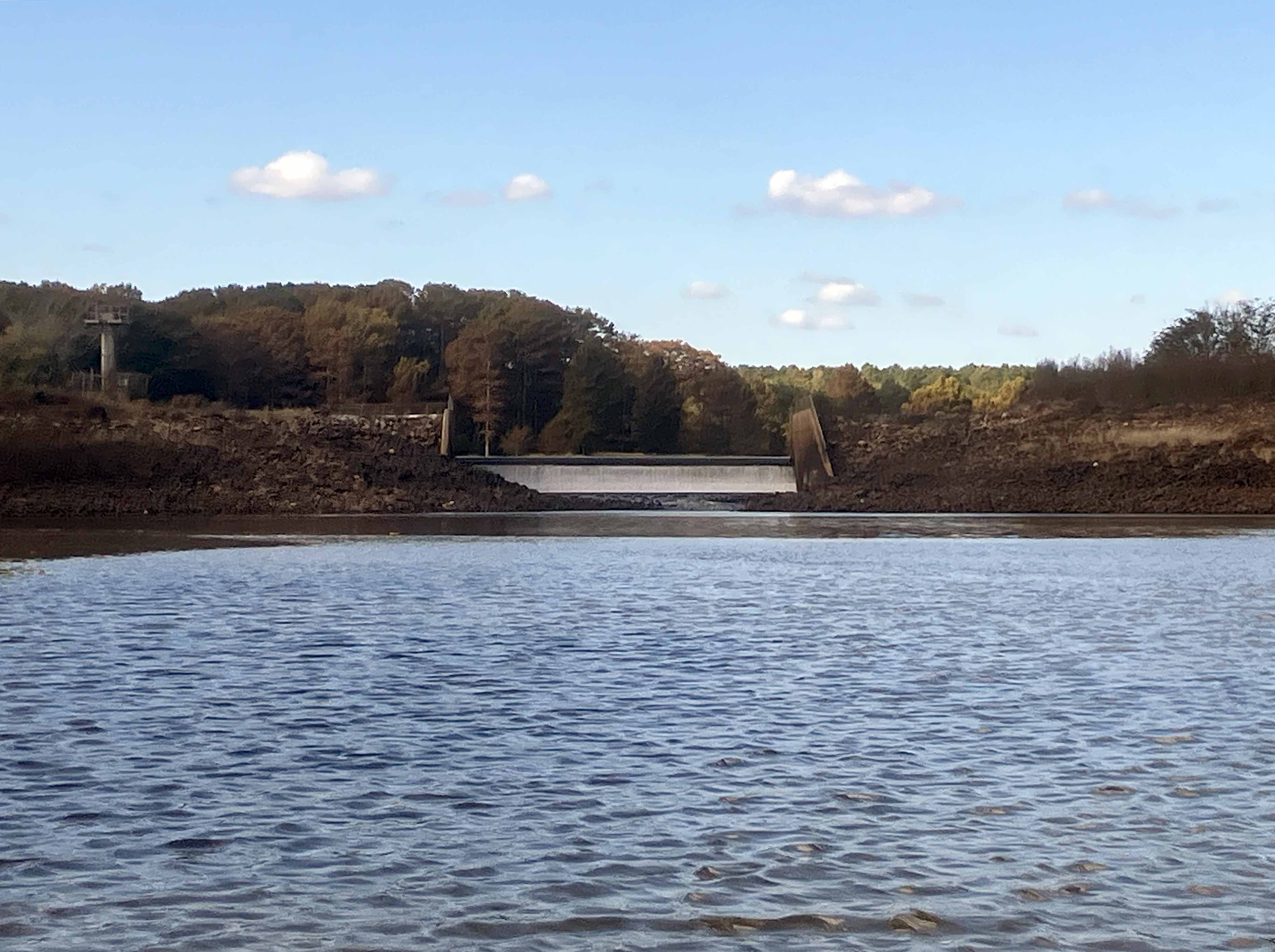
Above: The Caddo Lake Spillway. This, in part, is what backs up the water to create the Cypress swamp that Caddo is famous for.
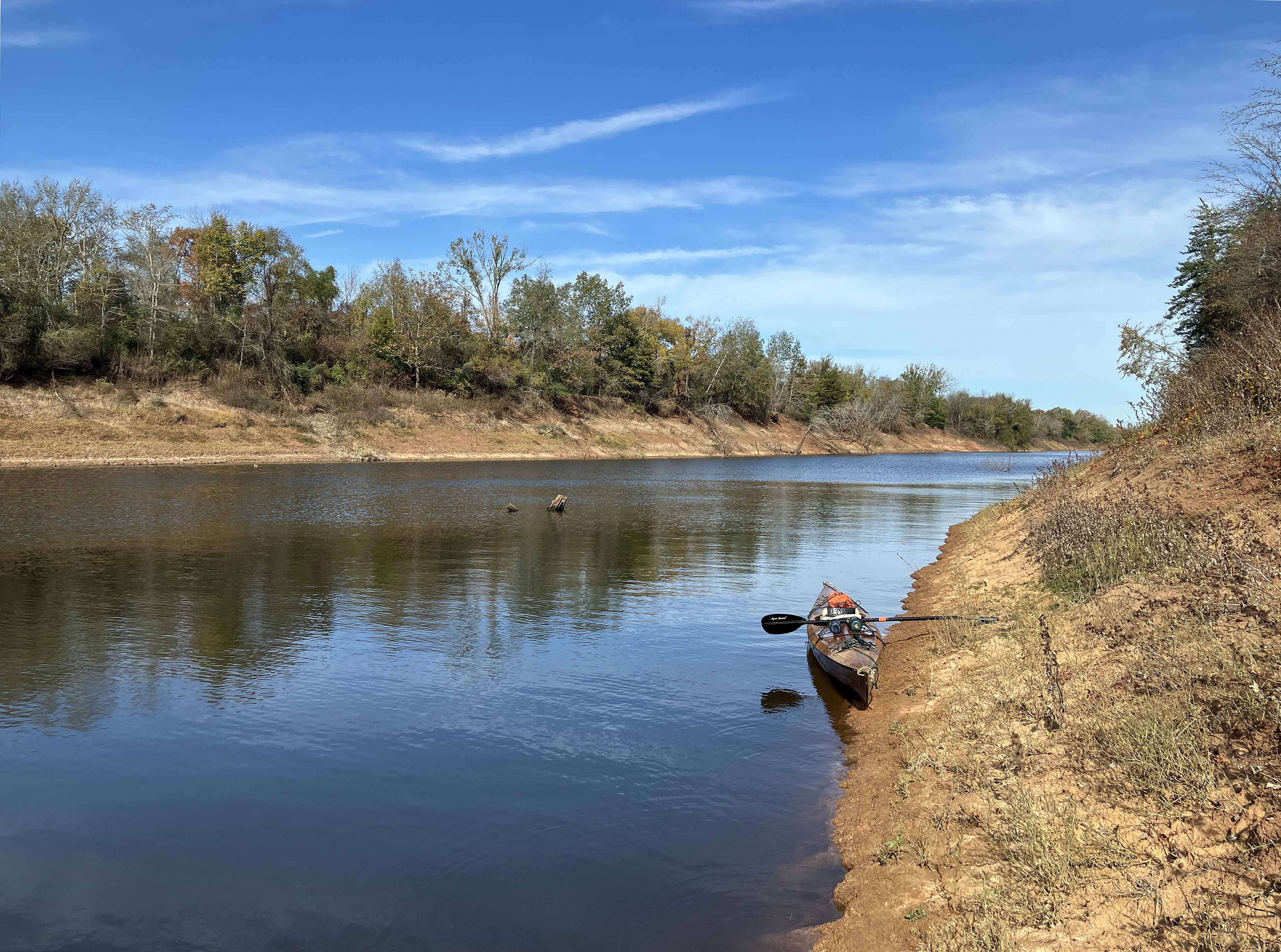
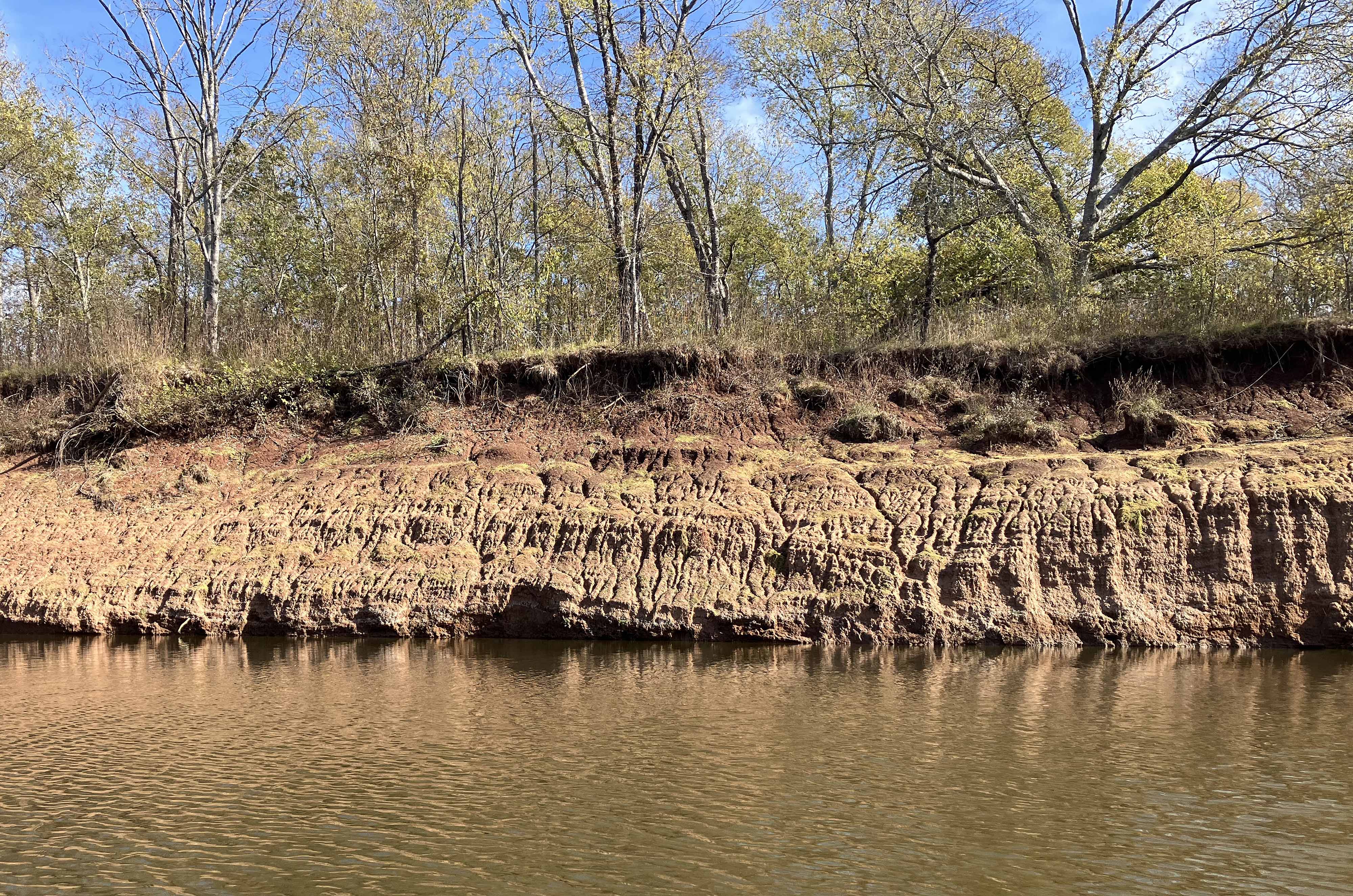
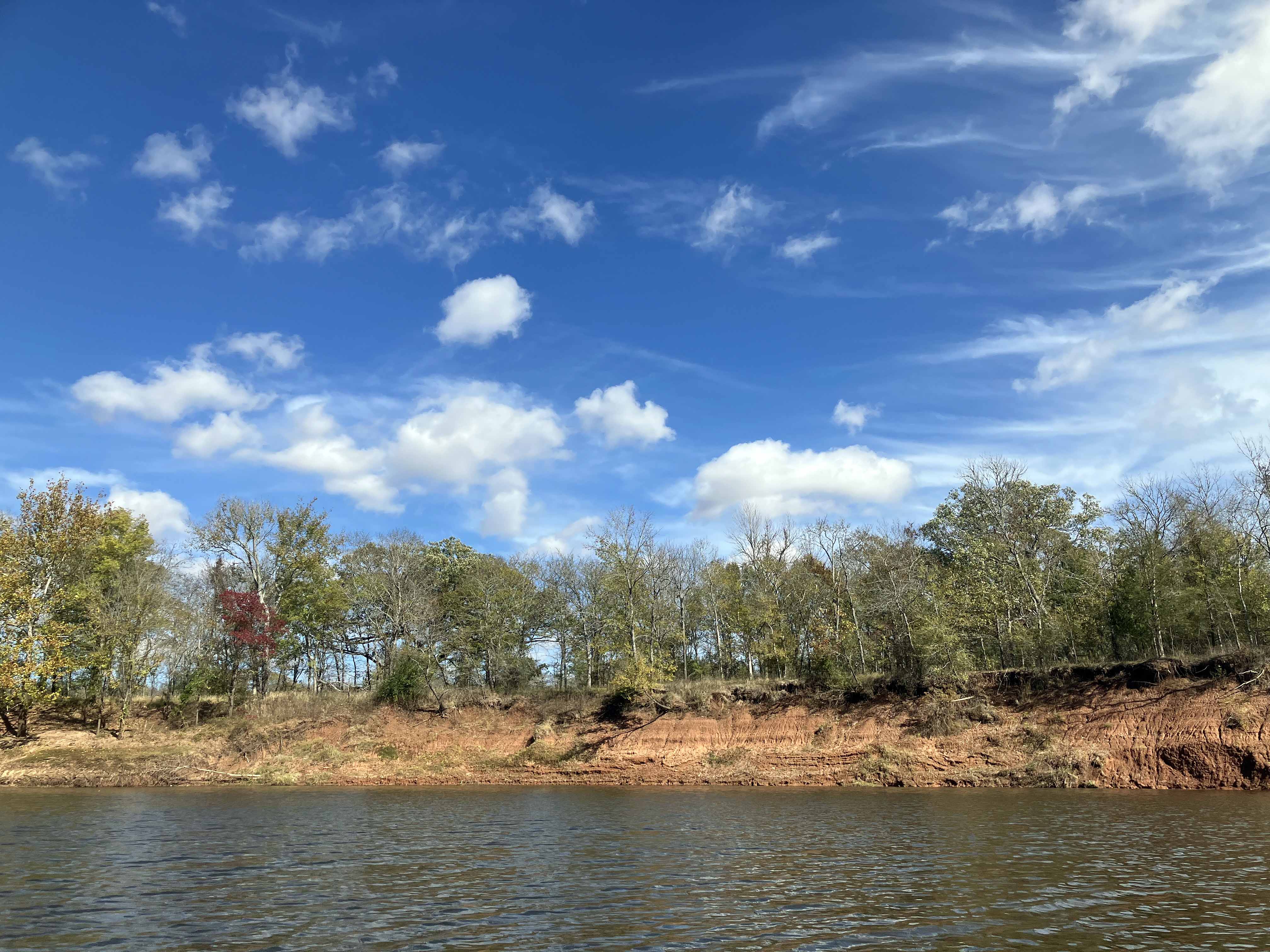
Above: Break time along Twelve Mile Bayou.
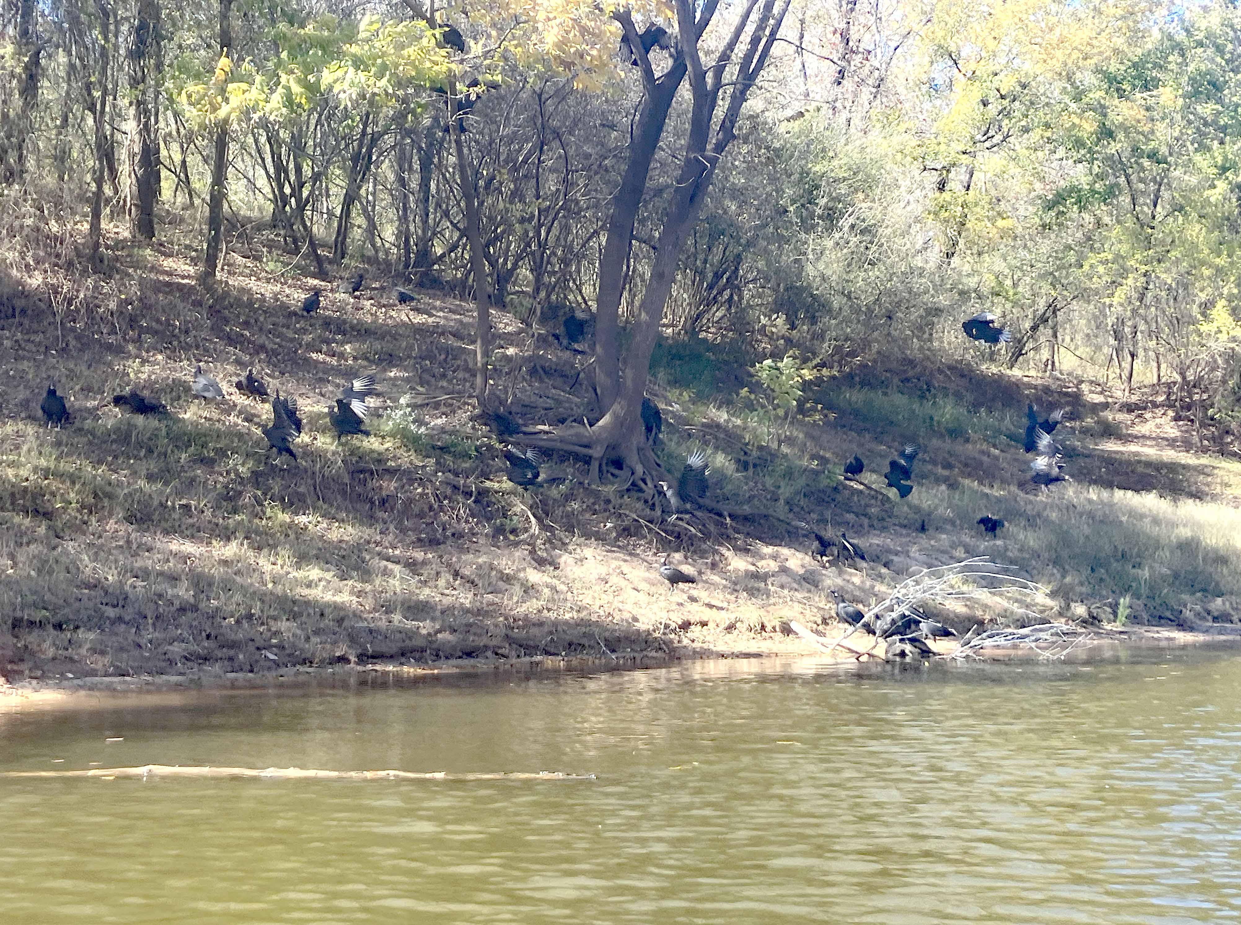
Above: Bunch of black vultures eating a dead pig that was in the water.
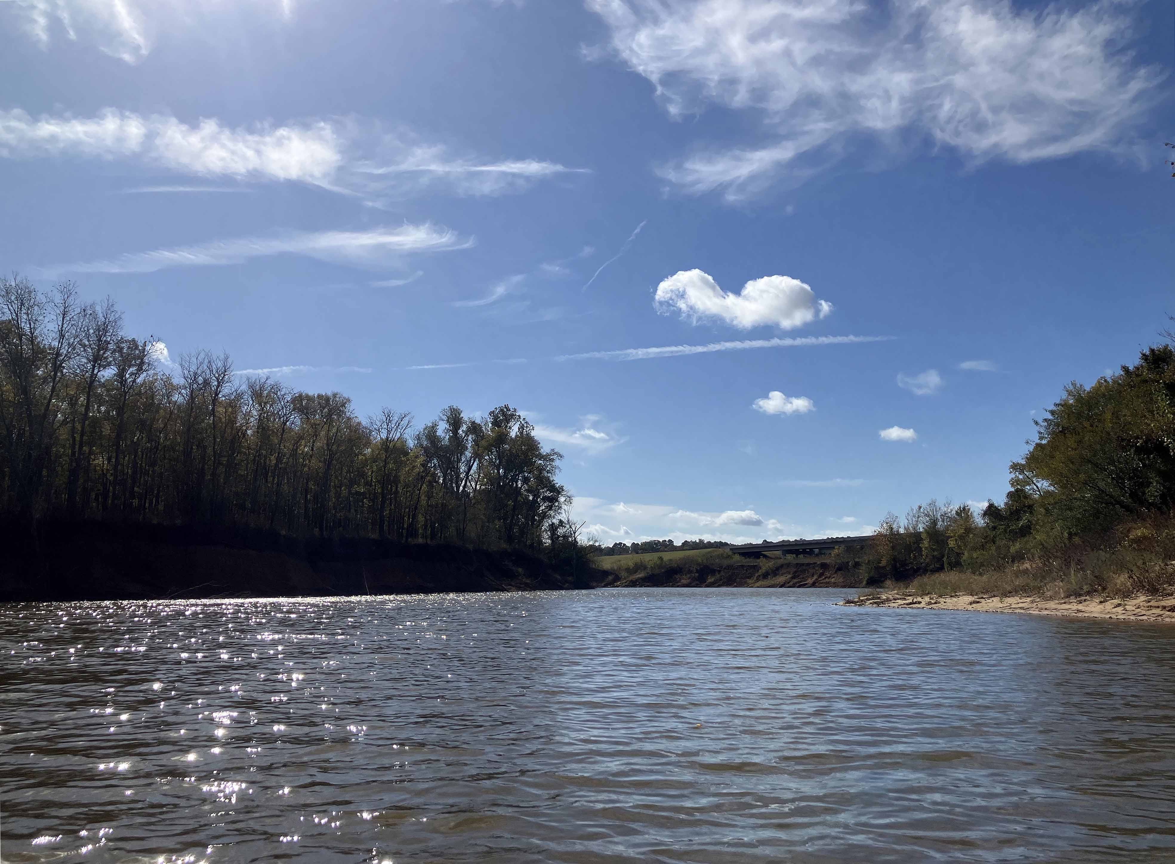
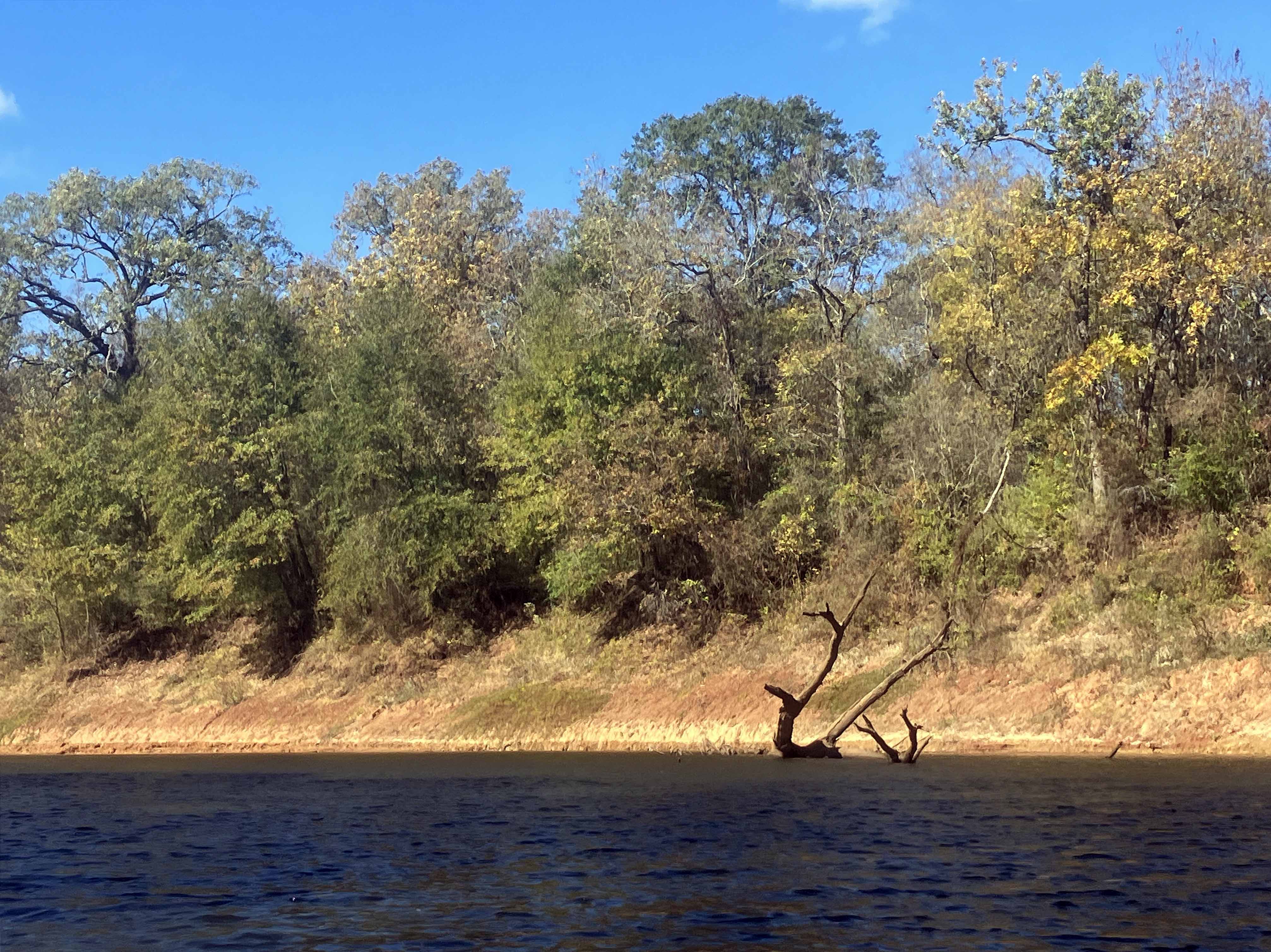
Above: The sky really helps open water paddles like this.
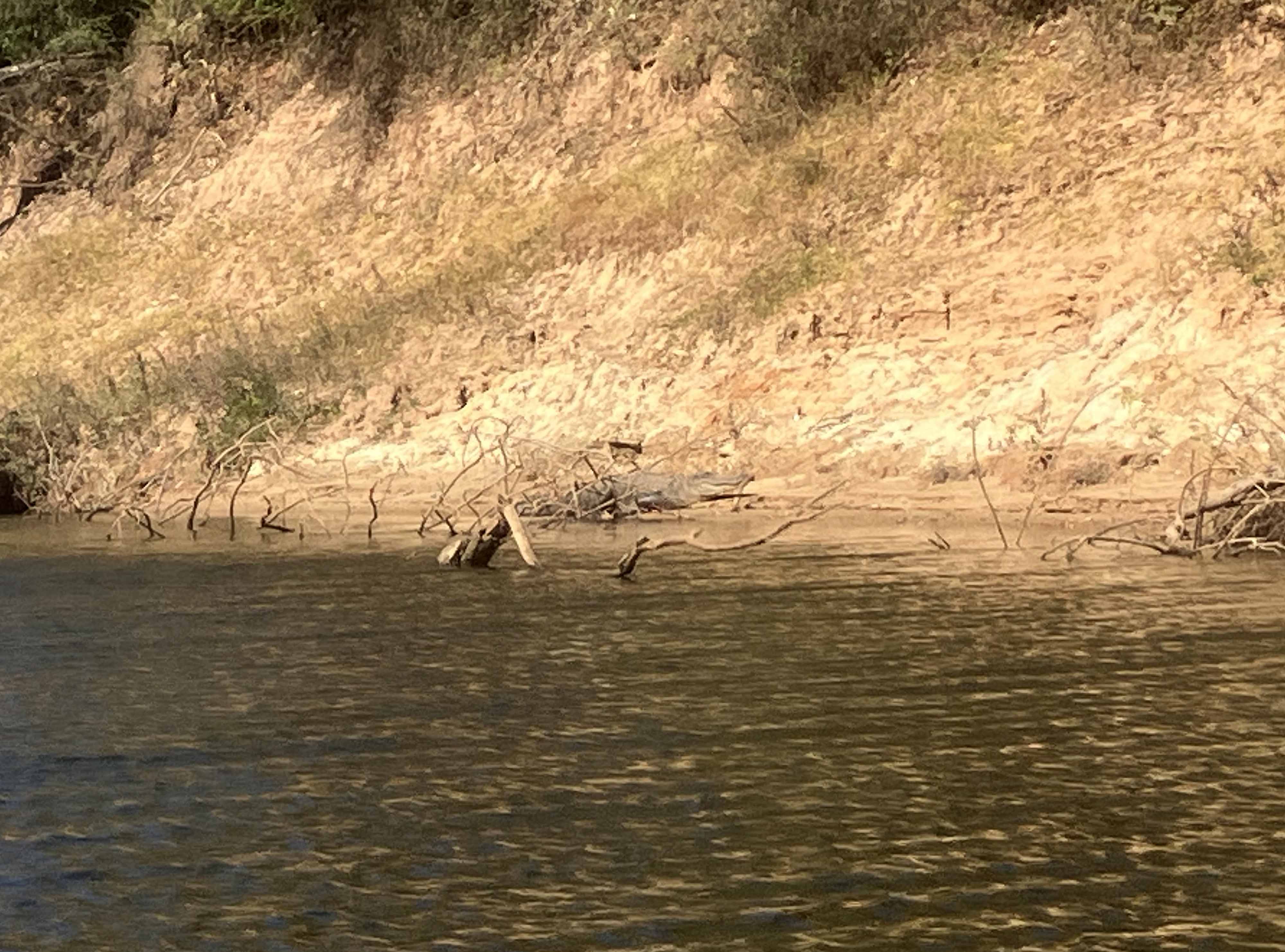
Above: There is an alligator in there somewhere.
