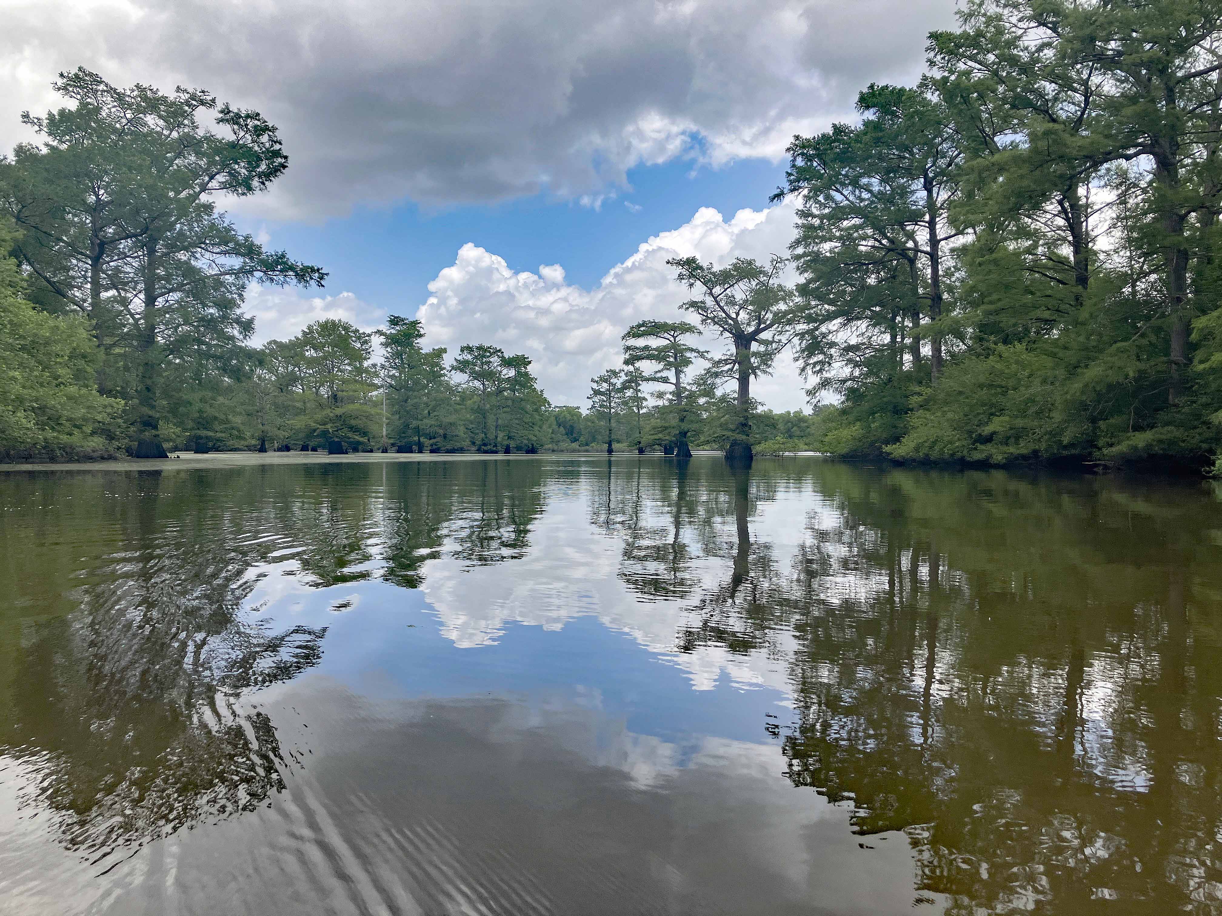
Wallace Lake, Cameron Park, Shreveport LA, A
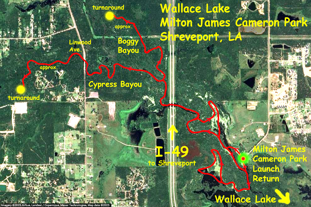
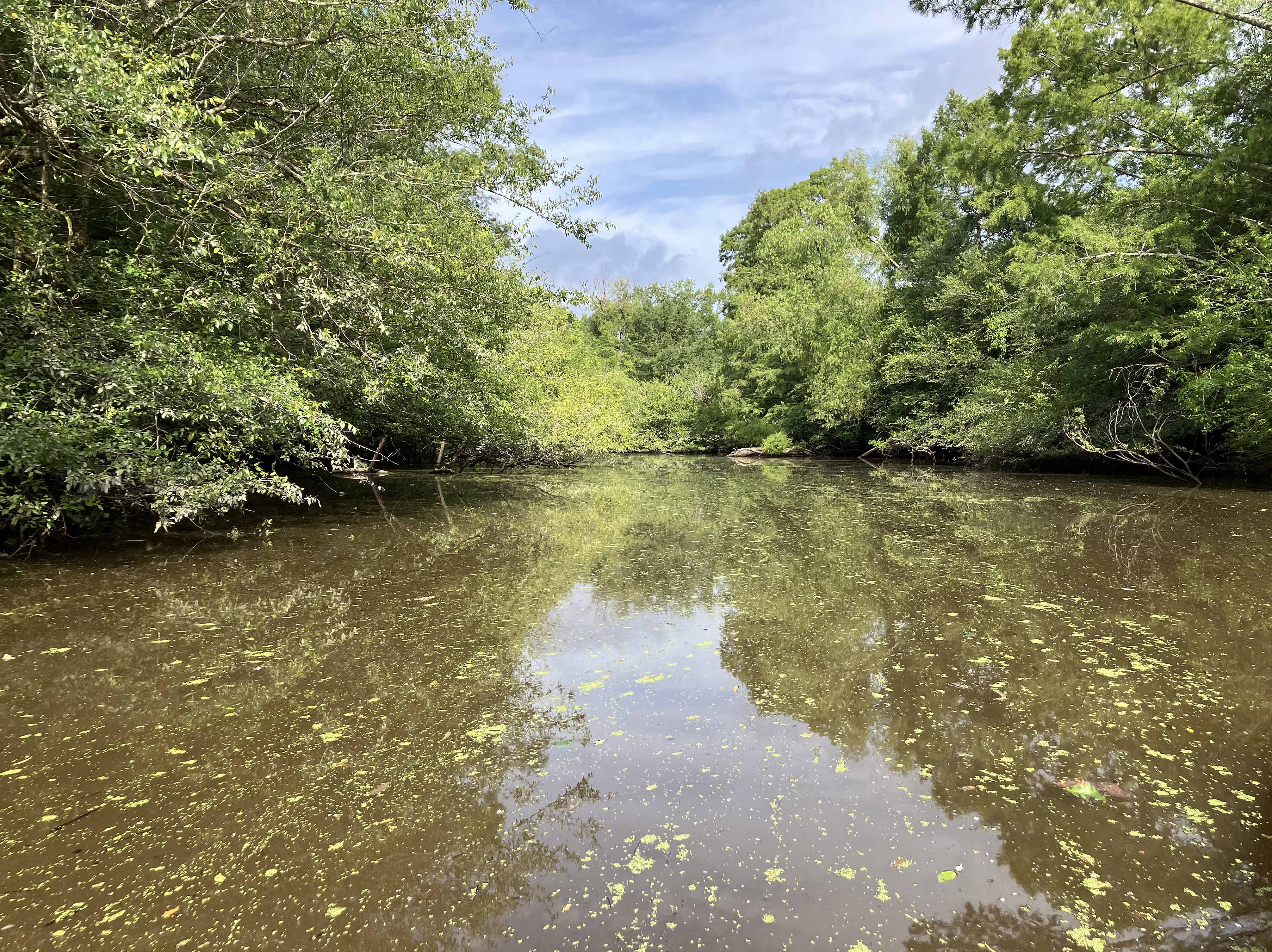
This kayak trail route map starts out of the Milton James (Hookie) Cameron Park just off Interstate 49 south of Shreveport LA. This trip went northwest in order to explore Cypress Bayou and Boggy Bayou. The turnarounds in each stream were marked by phone pins and were points where I had had enough of doing logjam portages. This wasn’t a long trip mileage-wise but it took some time: both creeks are tangled with vegetation and there was a lot of route re-direction and back-paddling to avoid or go around brushy sections. So making your way through was fun but slow. And in some areas the bayous sprawl, so some time was spent figuring things out, particularly on the way back where I got confused in several places. Interesting couple of streams, but littered with junk, especially plastic bottles, perhaps because the launch is near a metro area. Some of the lakes near the launch are pretty nice, but time was limited and I had to drive back to Dallas. Another trip or two is warranted, especially to go down towards the Wallace Lake area. Saw one alligator, a big moccasin, and a couple owls. Flow at USGS Cypress Bayou-Keithville was 4.61 cfs, not much, Wallace Lake at 142.6.
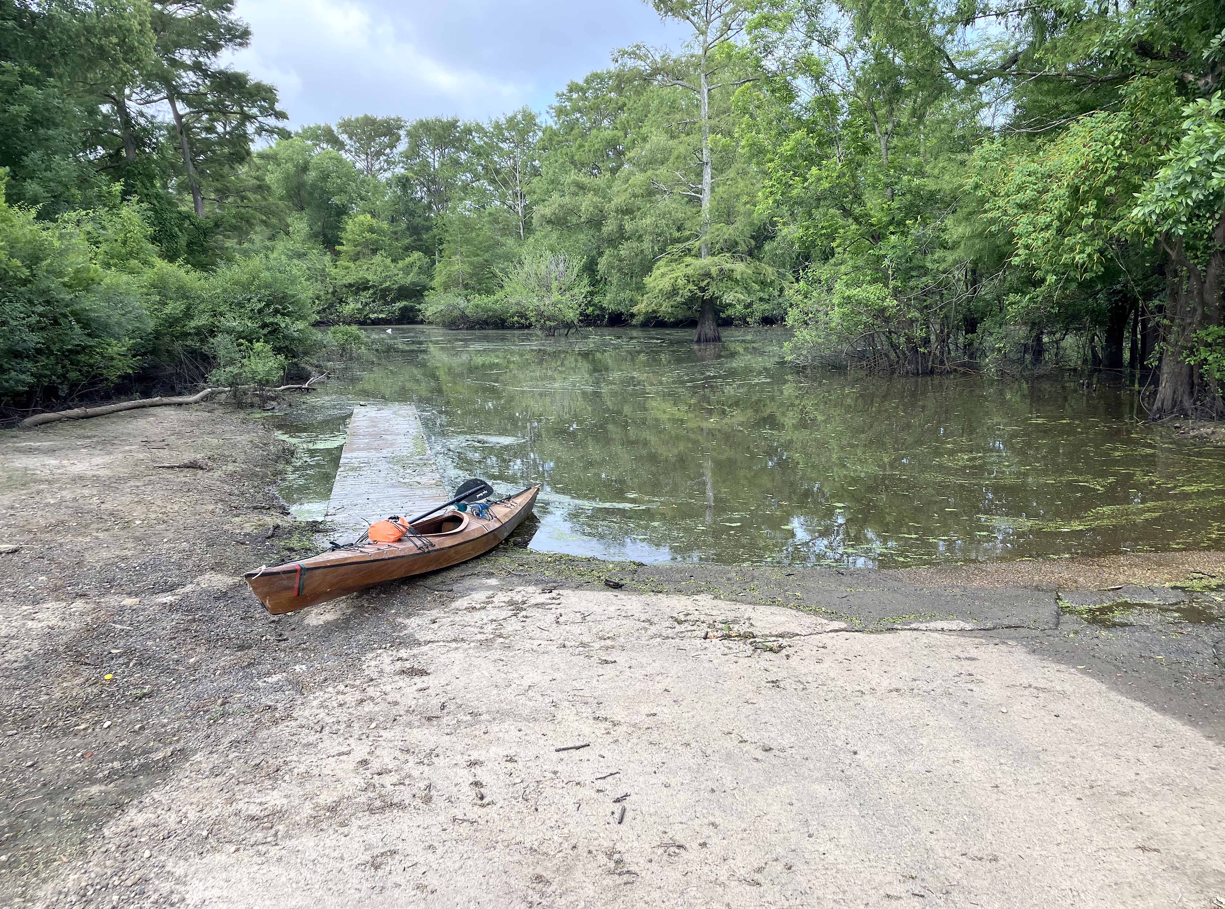
Above: Milton James Cameron Park launch site.
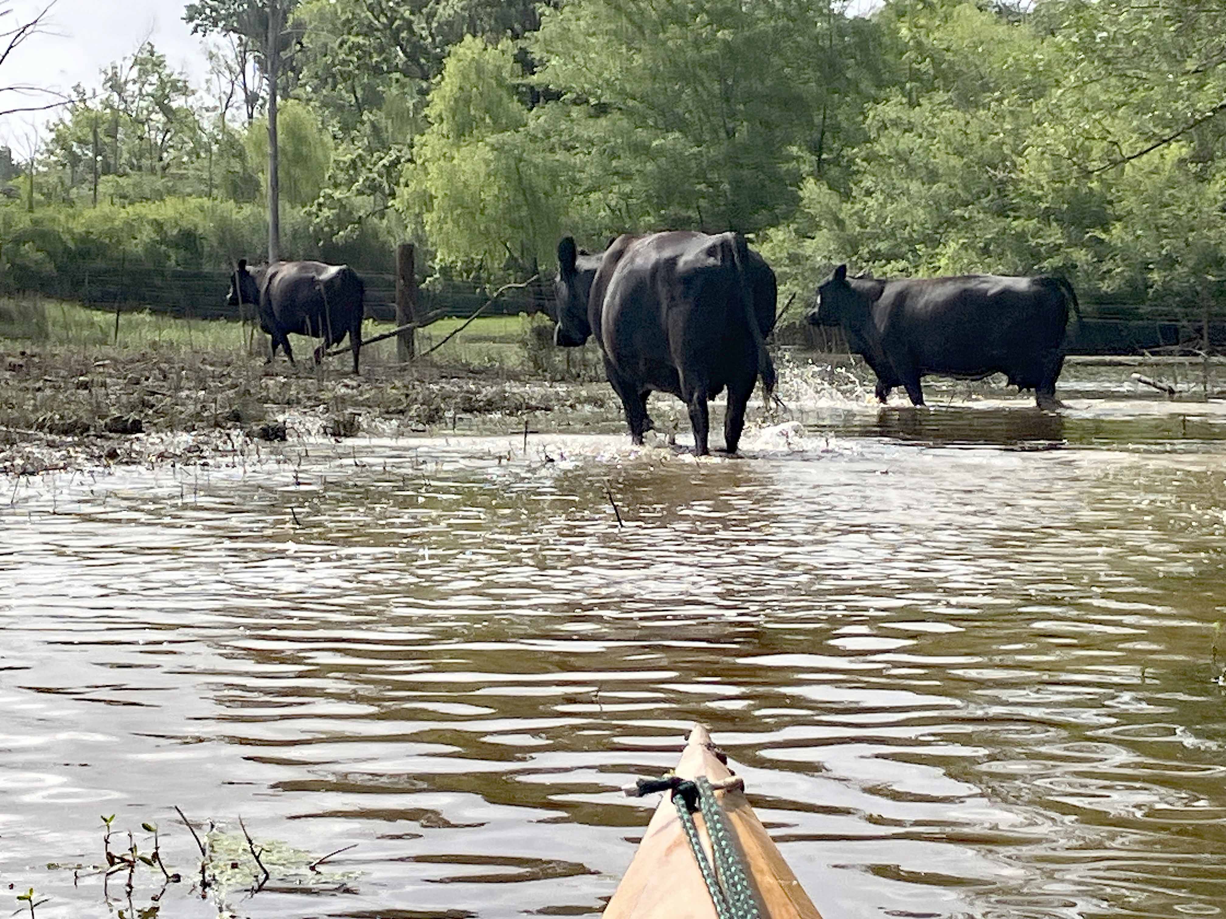
Above: Had some company.
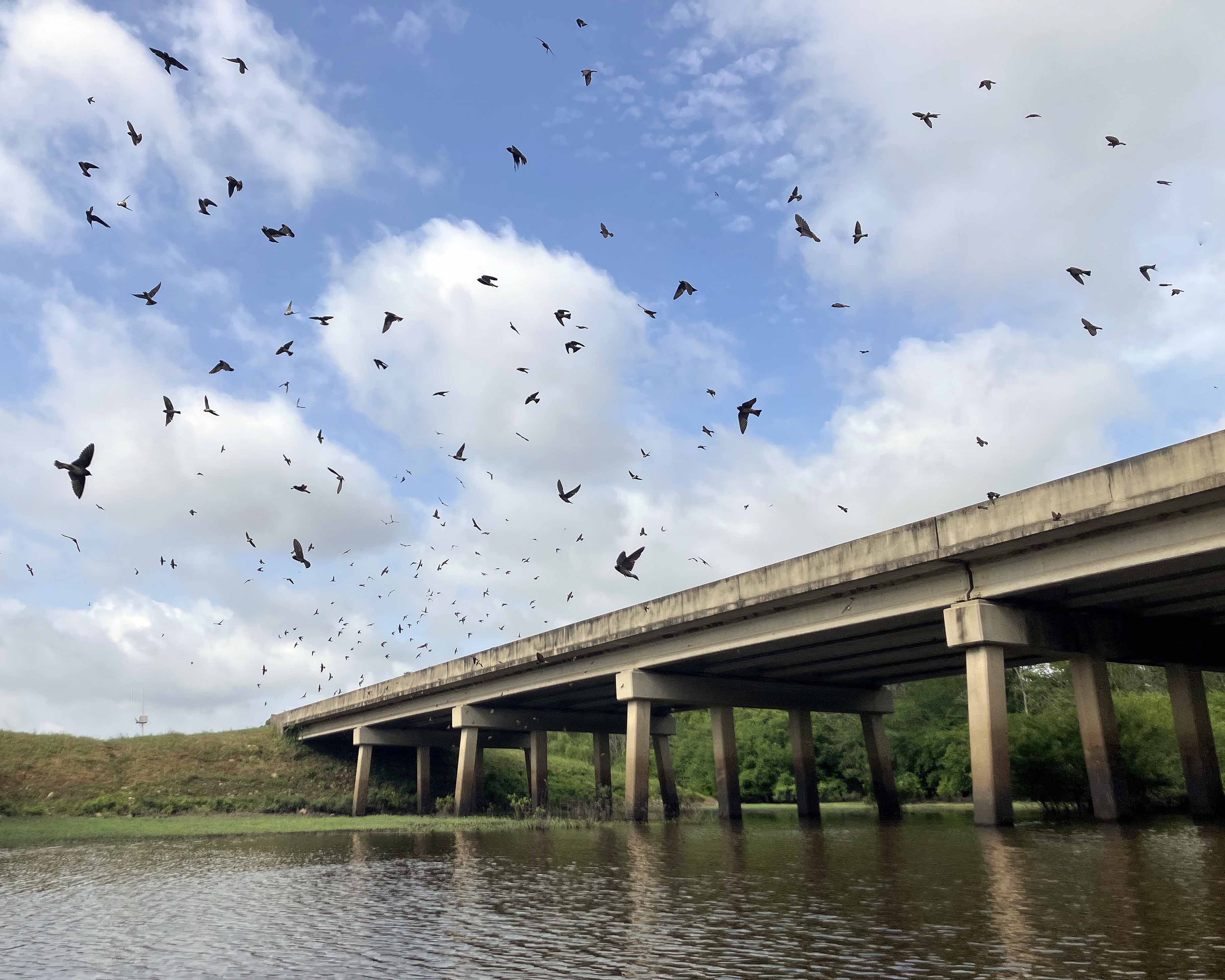
Above: Lots of swallows under the Interstate 49 bridge.
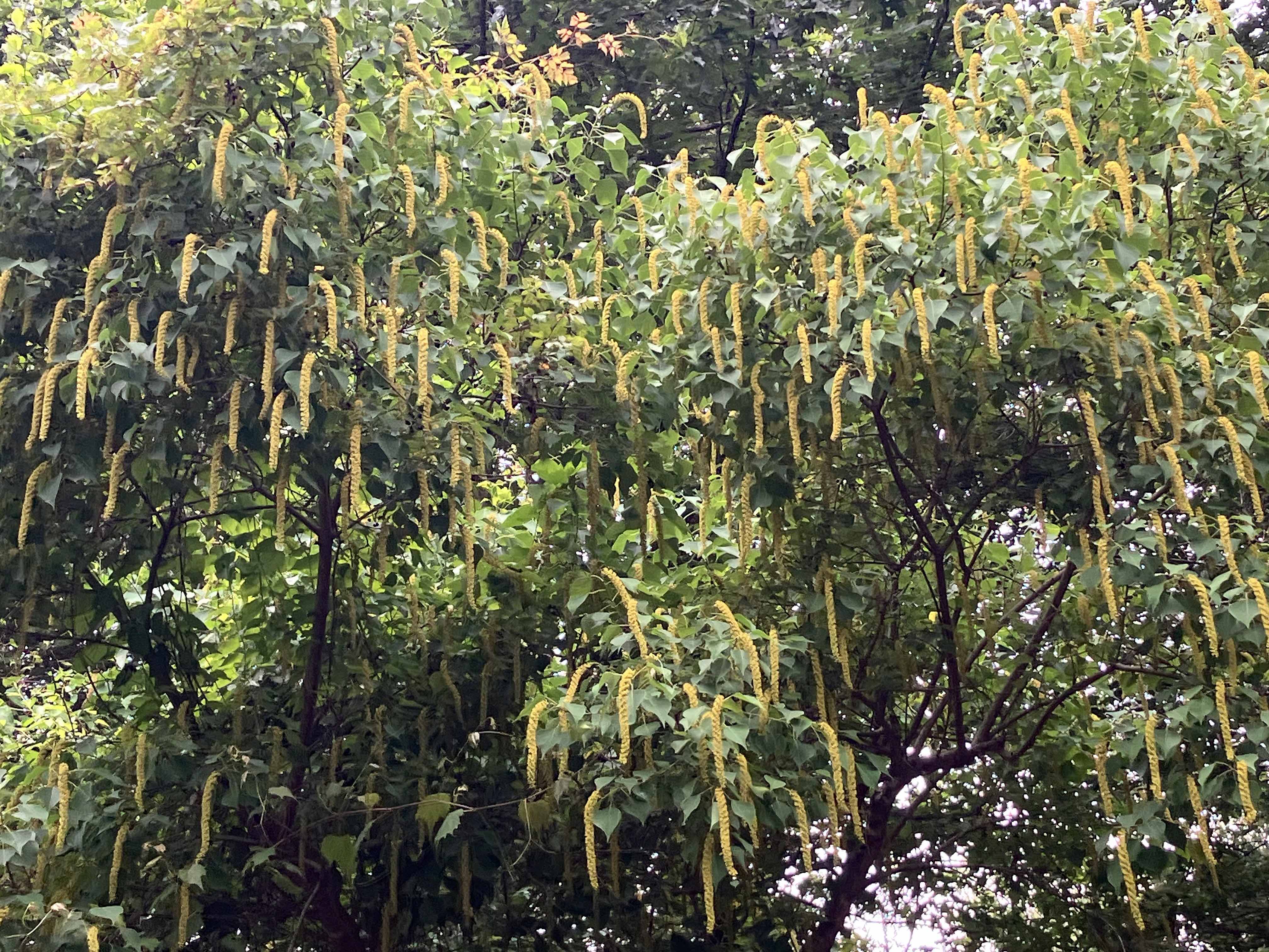
Above: Popcorn tree, Chinese Tallow, invasive according to Pl@ntNet.
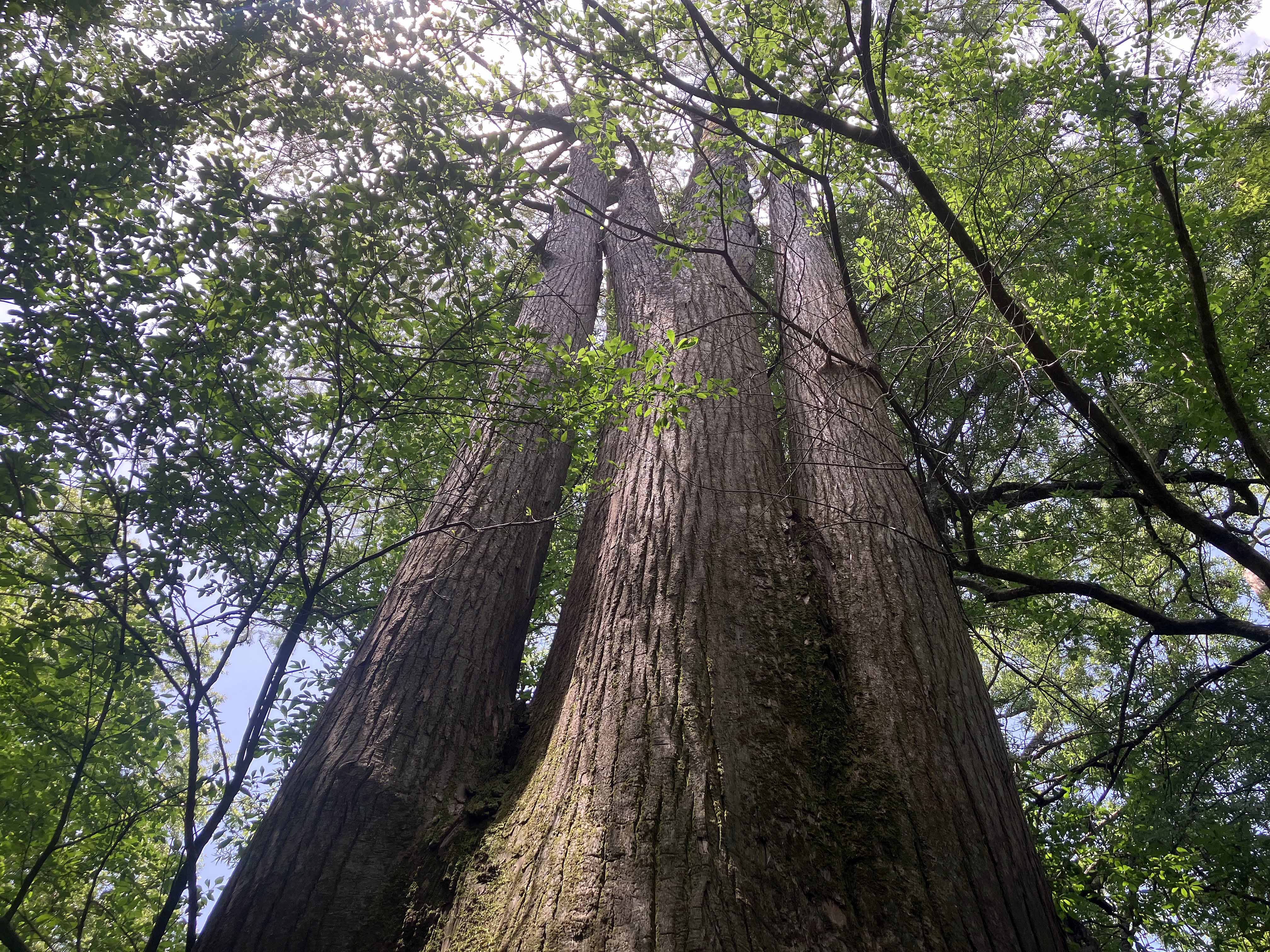
Above: Single trunk at base, then three trunks, then four trunks higher up.
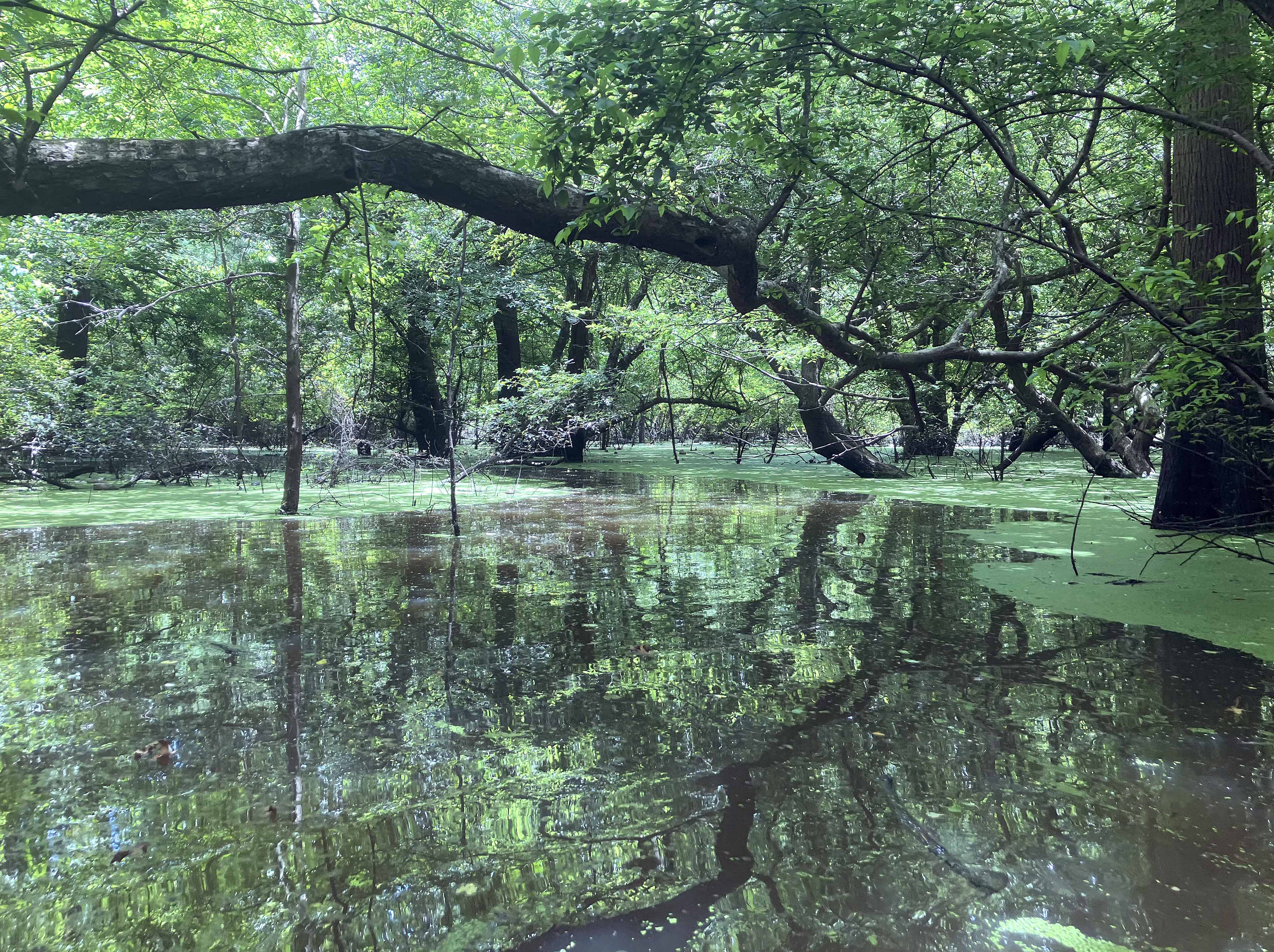
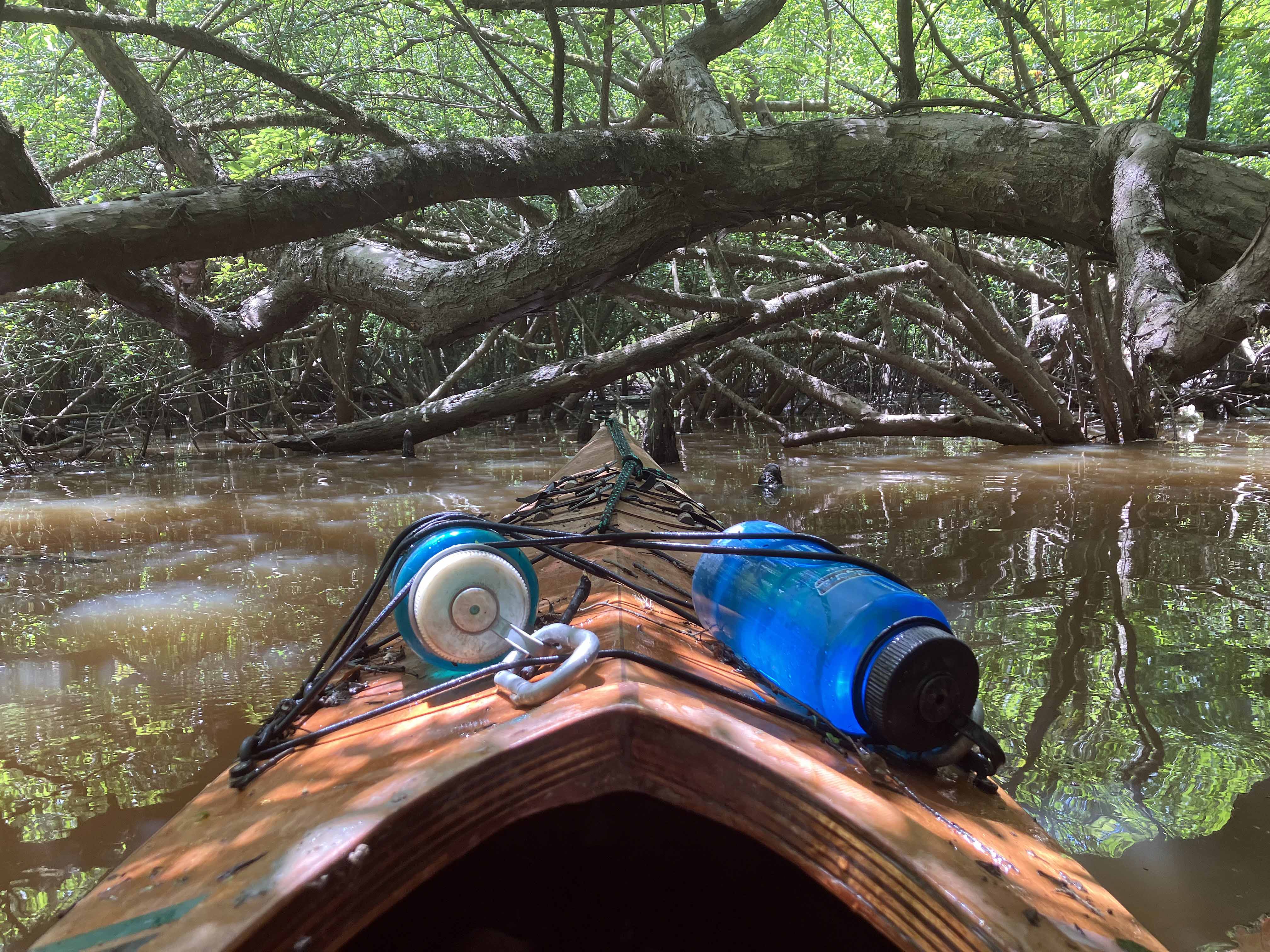
Above: The trip had quite a bit of this, which was (mostly) fun.
